


MODIS Airborne Simulator (MAS)
CAMPAIGN SUMMARY INFORMATION
|
Subsonic Aircraft Contrail and Cloud Effects Special Study Dates: 08 April - 15 May 1996 Location: Midwestern USA / Louisiana coast / Pacific Ocean Principal Investigators: Dr. Brian Toon (NASA ARC) Additional Sensors: CLS / HIS / MIR / RAMS / RC-10 Objective: Investigate the effects of subsonic aircraft on high-level clouds and atmospheric chemistry to better determine the radiative properites of cirrus clouds and contrails and their impact on the Earth's radiation budget. (click for more info) |
||||||||||||||||||||||||||||||||||||
|
Processing Information Flights Processed: 18 of 18 Total Flight Tracks: Total Scanlines: Level-1B Version: #1 Calibration Type: Final Calibration Version: SUCCESS ARC 1.0 Temperature Adjustment: None Status: Level-1B Data in HDF format is available. |
||||||||||||||||||||||||||||||||||||
|
Spectral Information Spectral Band Configuration Spectral Response Function Table Spectral Band Animation |
||||||||||||||||||||||||||||||||||||
|
Level-1B Data Distribution Langley Research Center (LaRC) Level 1 / Atmosphere Archive and Distribution System (LAADS) NASA Distributive Active Archive Centers (DAACs) |
||||||||||||||||||||||||||||||||||||
|
||||||||||||||||||||||||||||||||||||
|
Related Web Sites Official SUCCESS Home Page SUCCESS Information Page NASA Airborne Science Program |
||||||||||||||||||||||||||||||||||||
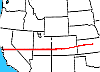 Flight: 96-100
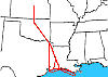 Flight: 96-101
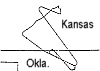 Flight: 96-102
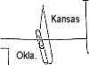 Flight: 96-103
 Flight: 96-104
 Flight: 96-105
 Flight: 96-106
 Flight: 96-107
 Flight: 96-108
 Flight: 96-109
 Flight: 96-110
 Flight: 96-111
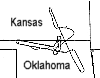 Flight: 96-112
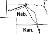 Flight: 96-113
 Flight: 96-114
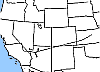 Flight: 96-115
 Flight: 96-116
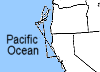 Flight: 96-117
SUCCESS


| Sample Imagery |
| Click image for full resolution |
|
Flight: 96-110, Track #26 Mt. Evans, Colorado |


|
|
R: 2.14µm G: 0.94µm B: 0.64µm |
- NASA Official: Matt Fladeland
- Project Manager: James Jacobson
- Website Editor: Eric Fraim
- Last Updated: March 21, 2024


