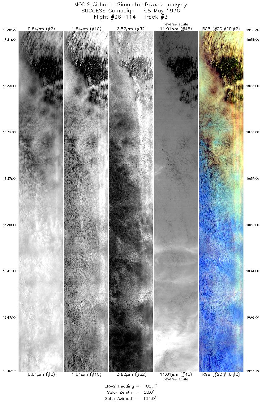
The objective of this mission was to
study convective outflow microphysics with a coordinated
flight between ER-2 and DC-8 over the Upper Midwest;
study convection associated with Mesoscale Convective System;
and perform cold scene calibration.
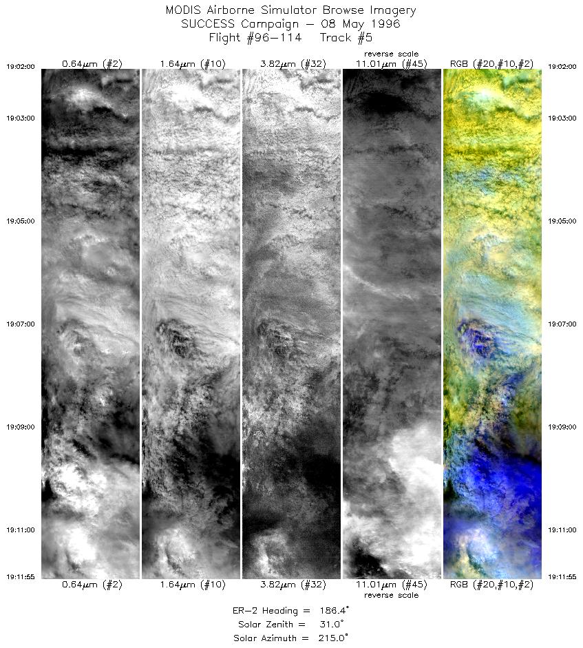
DC-8 and ER-2 coordinated flight to sample cirrus outflow of MCS
with DC-8 in situ and ER-2 radiometry above. T-39 sampling DC-8
contrail on transit from Salina to Upper Midwest and then breaking
off to return to Salina, Kansas. ER-2 coordinated with DC-8 for first
half of flight and then broke-off, heading into the solar plane
to observe thick cold cloud shield of MCS. ER-2 finish by flying
convection on southern end of MCS.
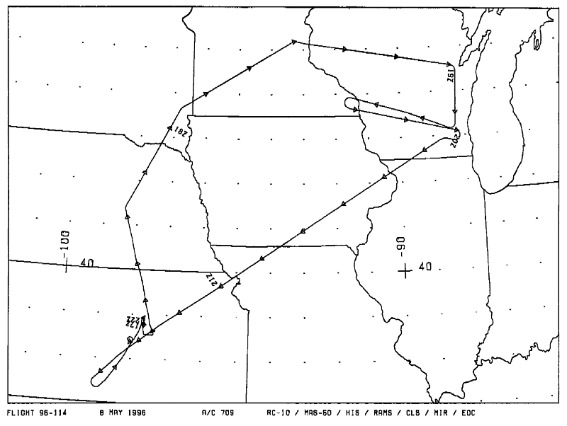
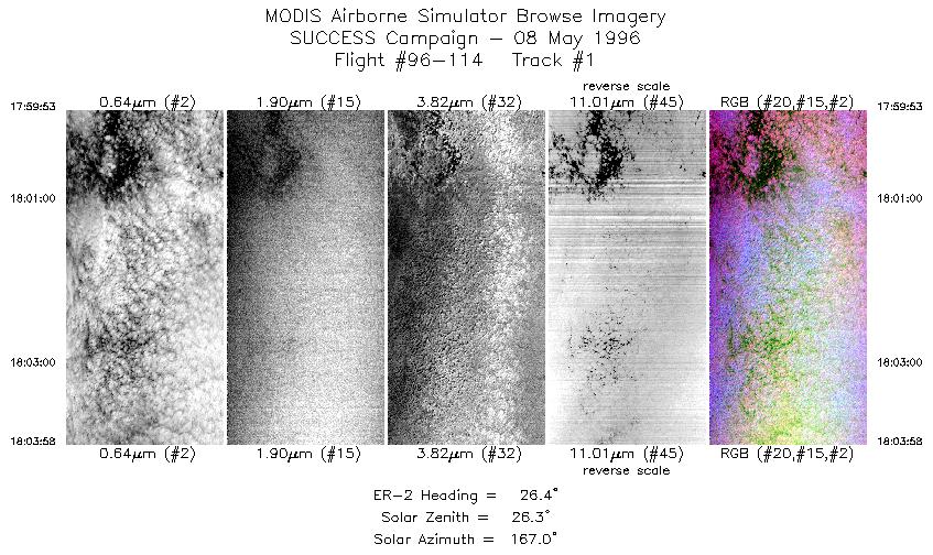
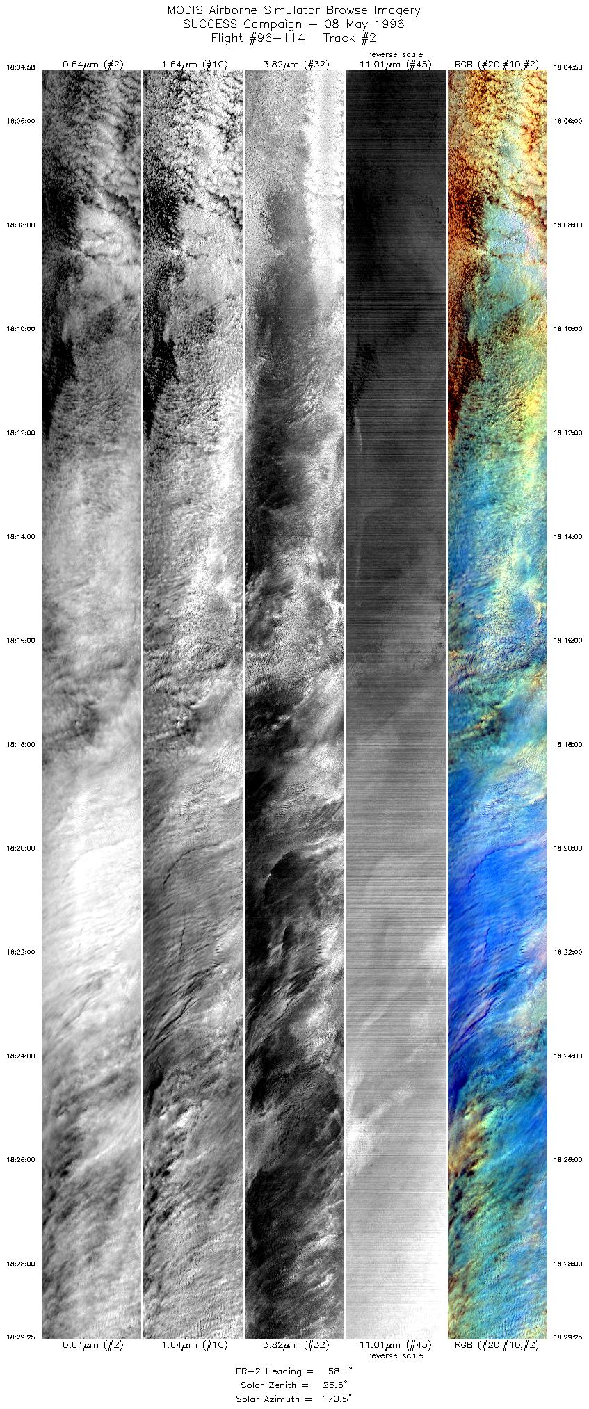
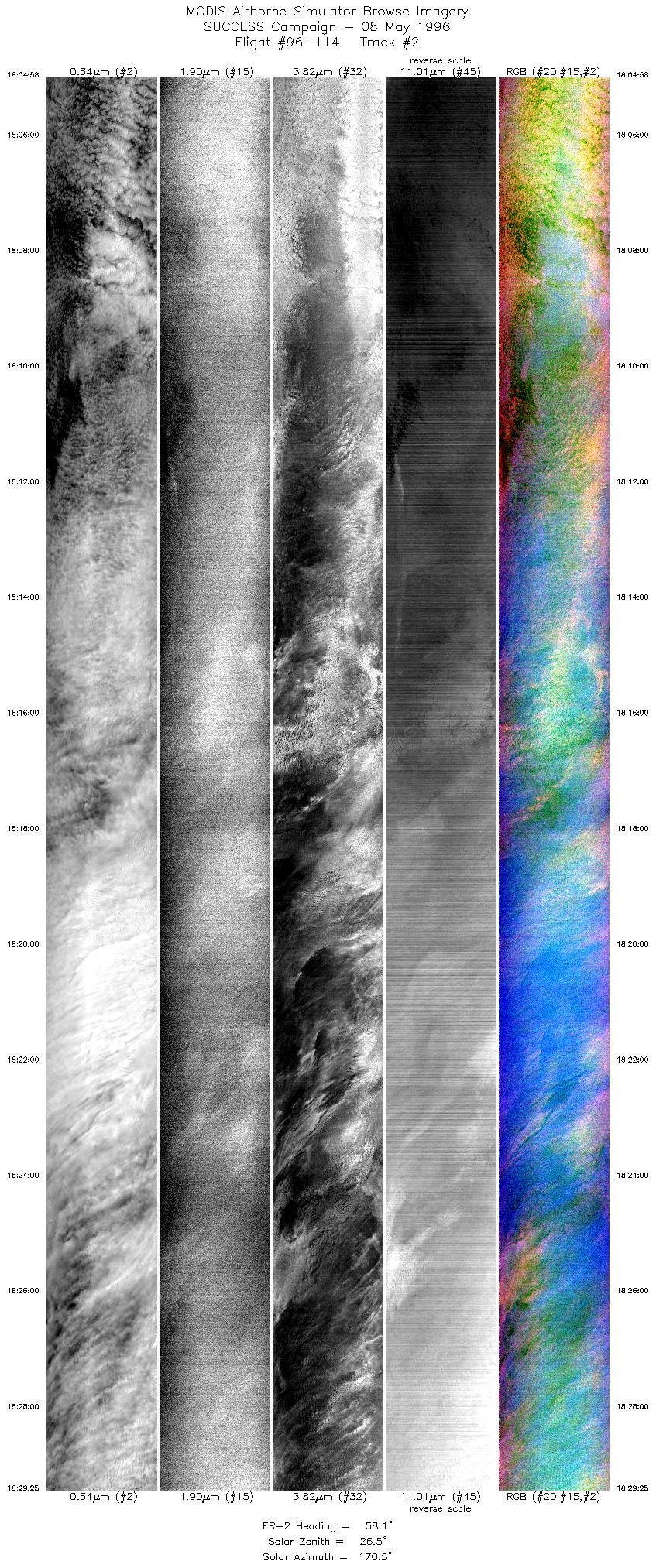
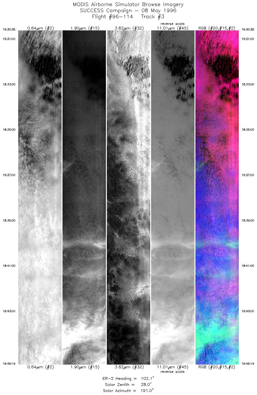
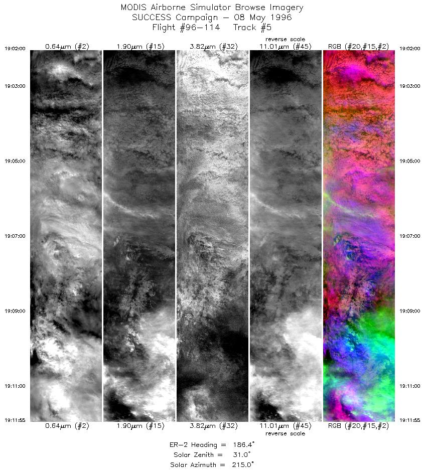
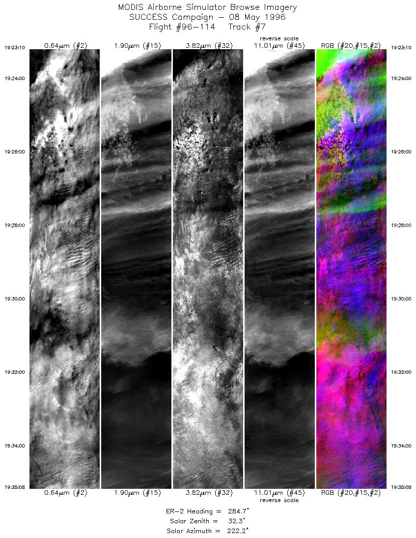
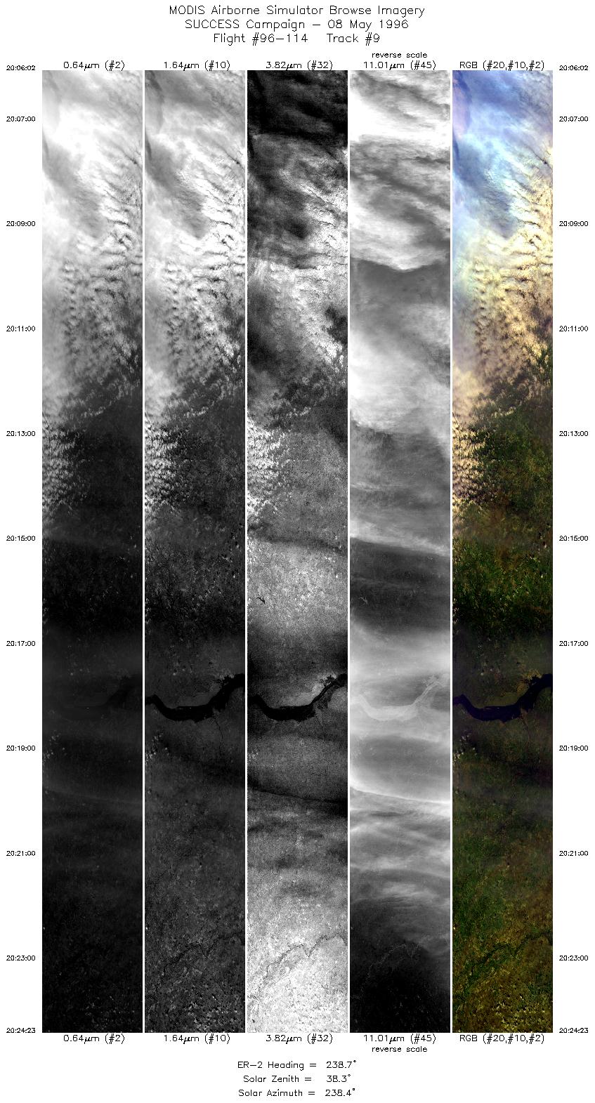
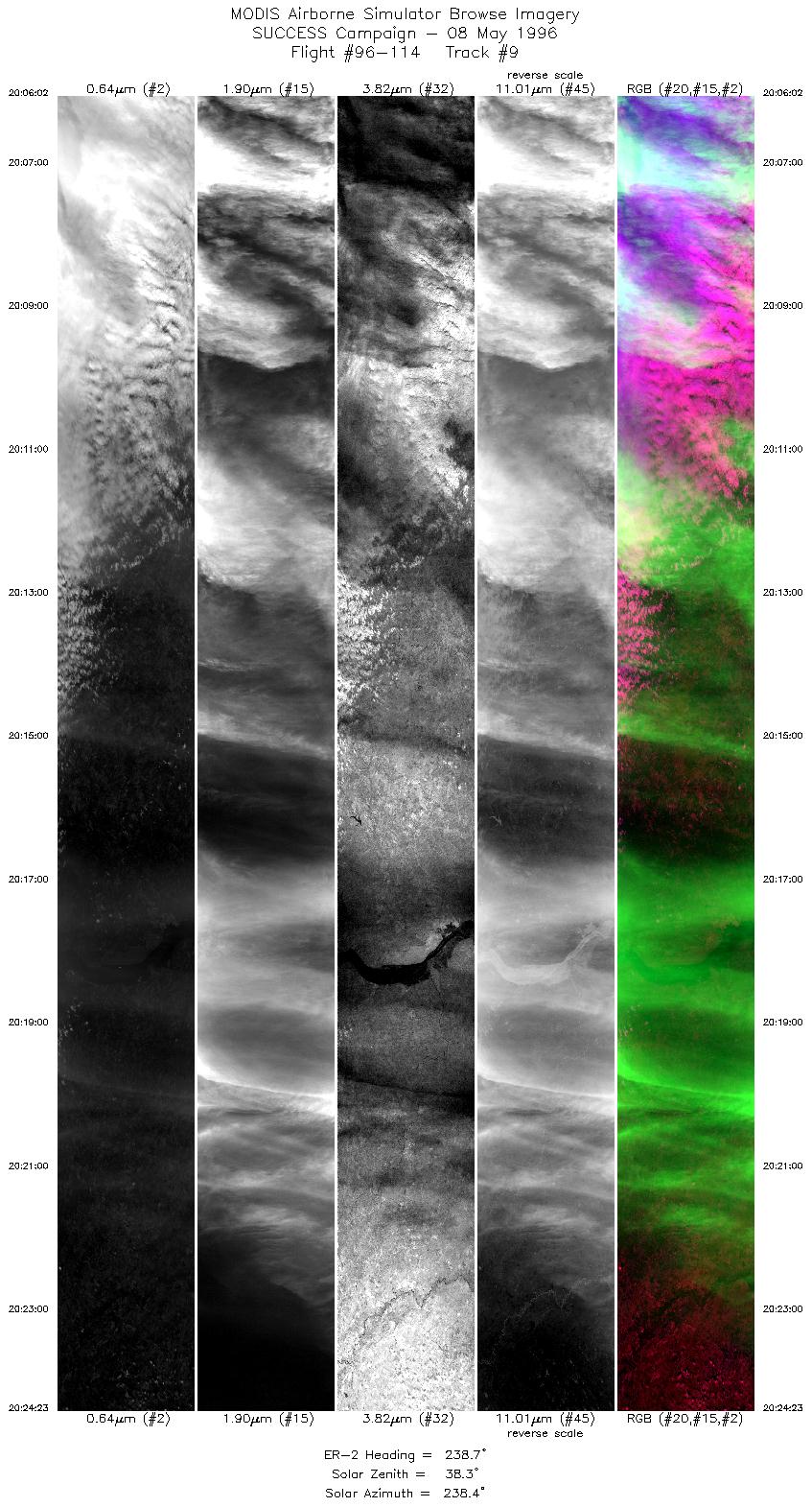
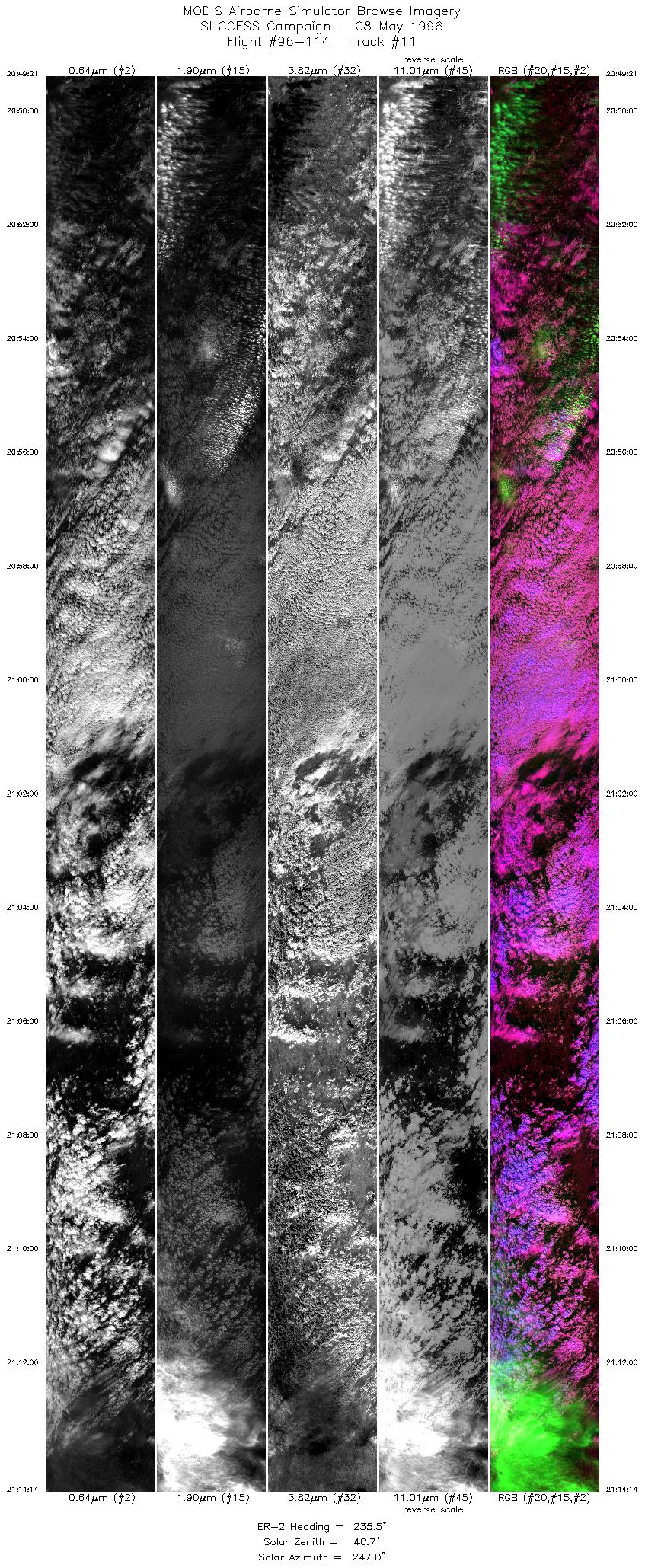
The ER-2 launched at 1700 UTC, a few minutes before DC-8 and T-39,
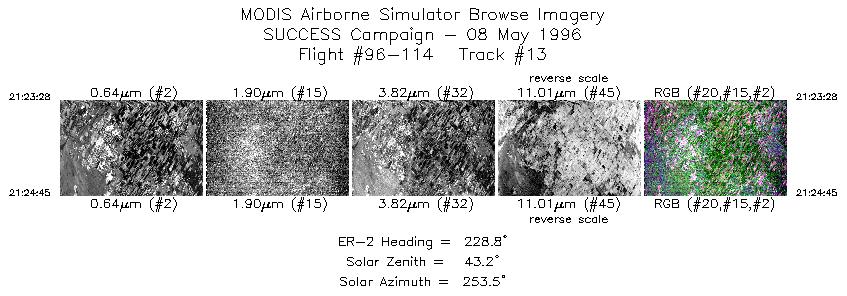
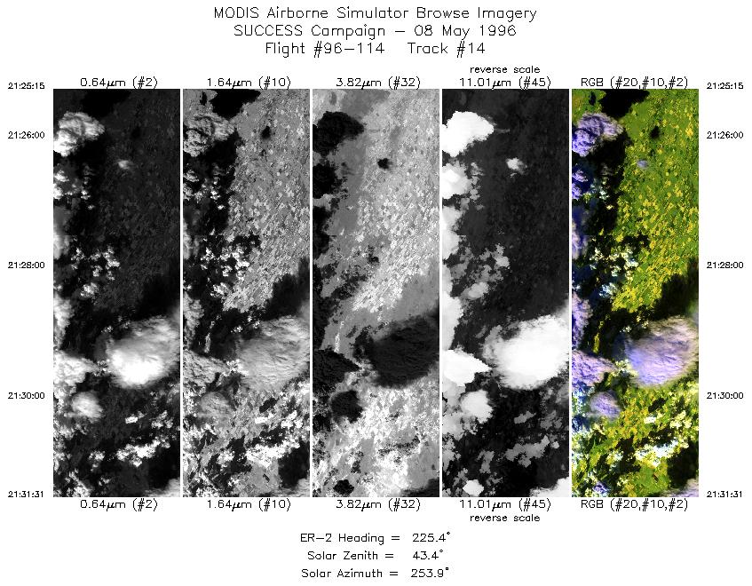
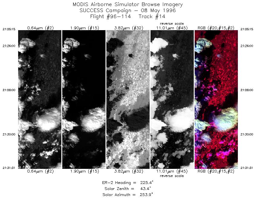
and landed at 2210 UTC. ER-2 coordinated with DC-8
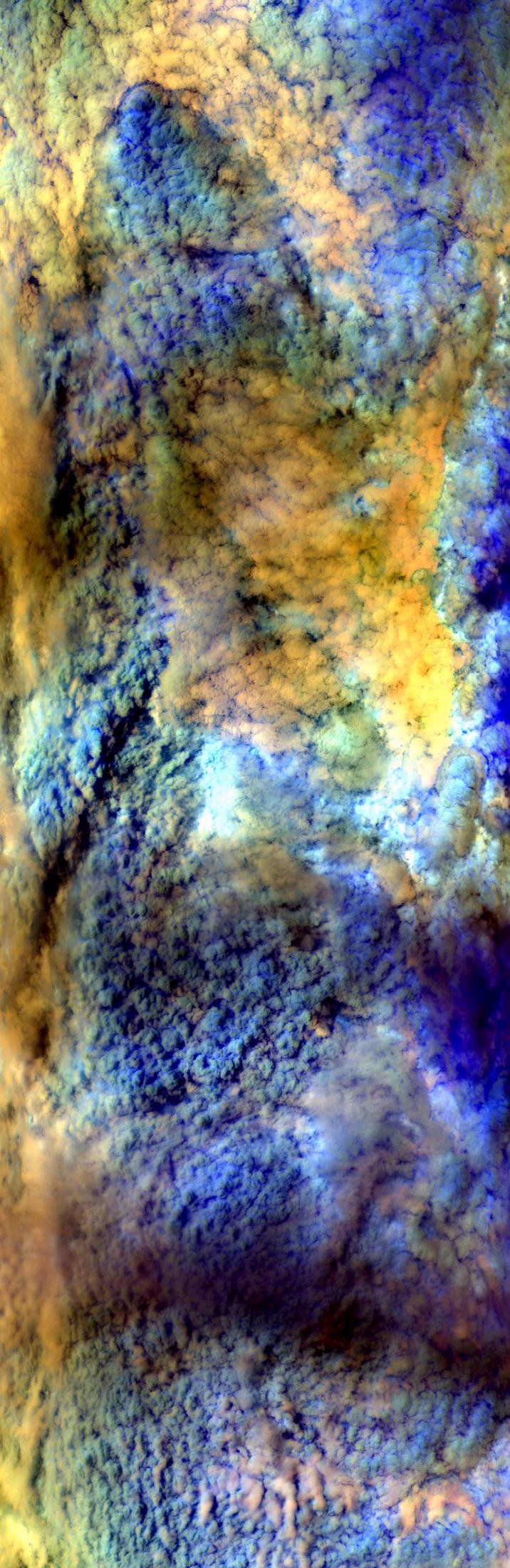
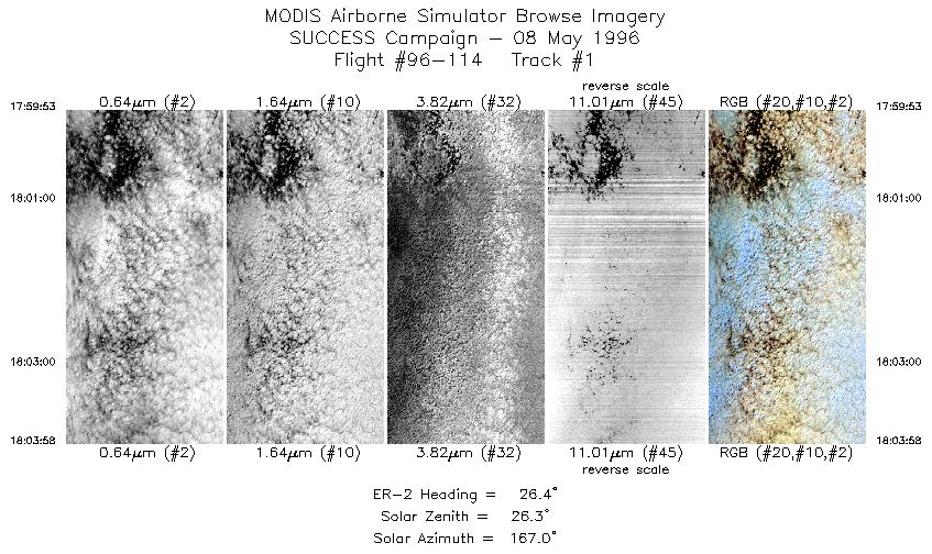
for first half of flight (up to GRB), observing broken cirrus
of varying optical depth over Wisconsin. DC-8 made microphysical
measurements. Low/mid level cloud deck below cirrus. ER-2 broke
off and flew into sun over portion of thick cold cirrus outflow
shield before reaching transmissive cirrus scenes in NW Illinois
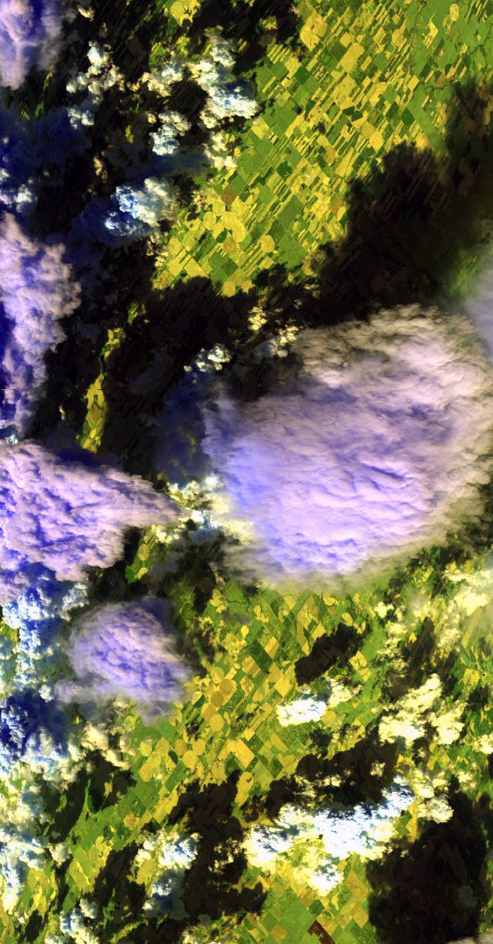
and Iowa. Convection cells associated with MCS moved well off
to east before ER-2 arrived at convective site checkpoint. ER-2
flew over immature building convective cell to SW of Salina before
descending.
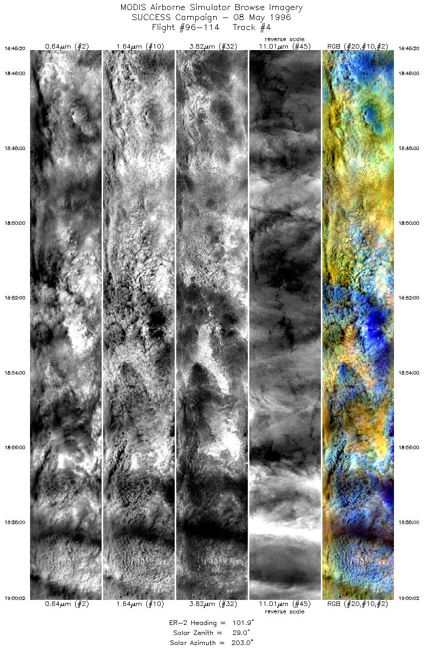
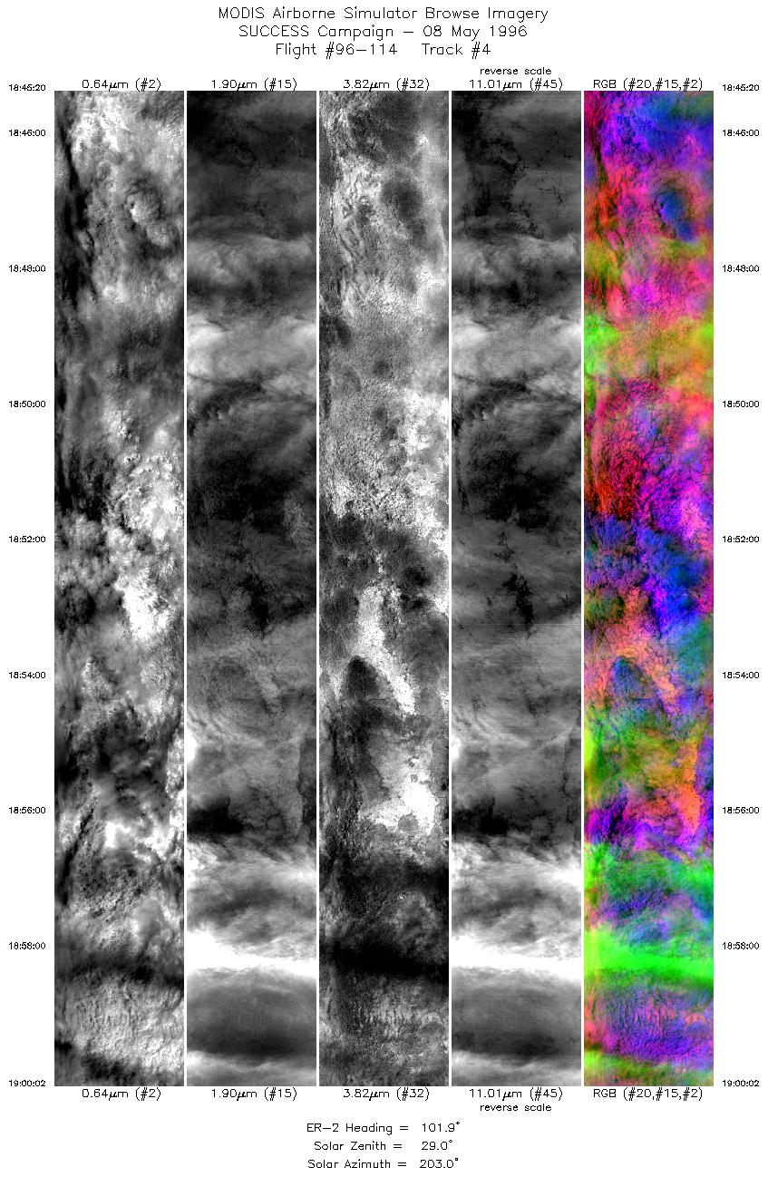
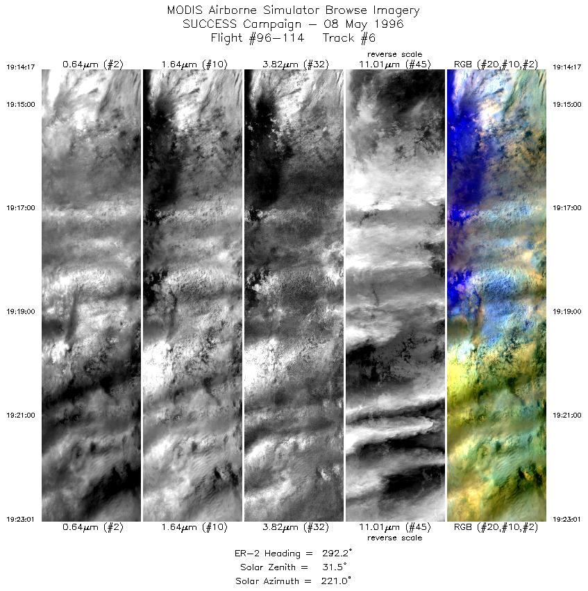
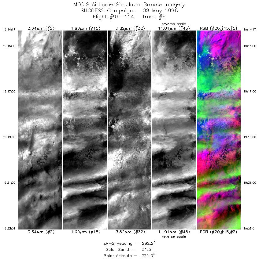
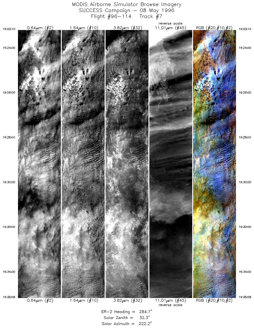
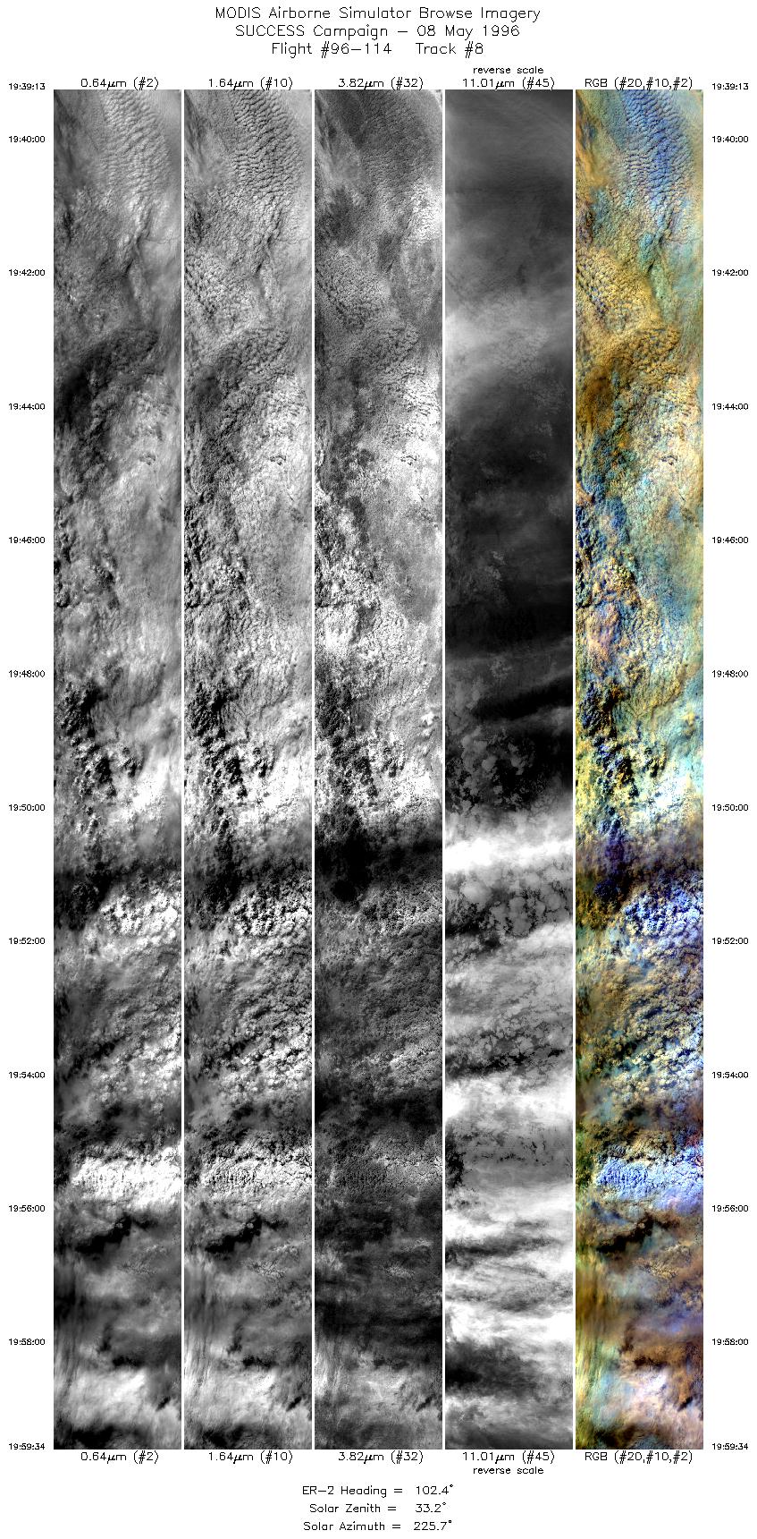
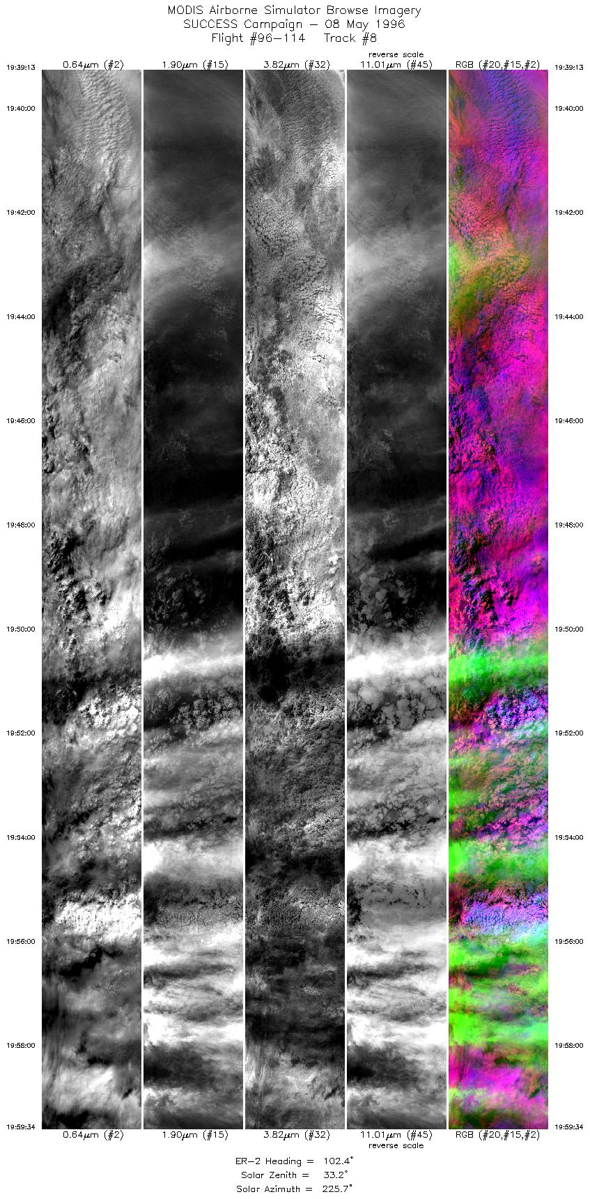
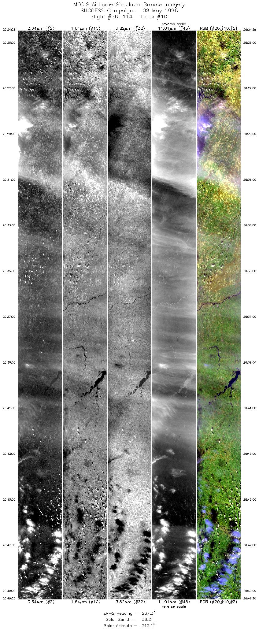
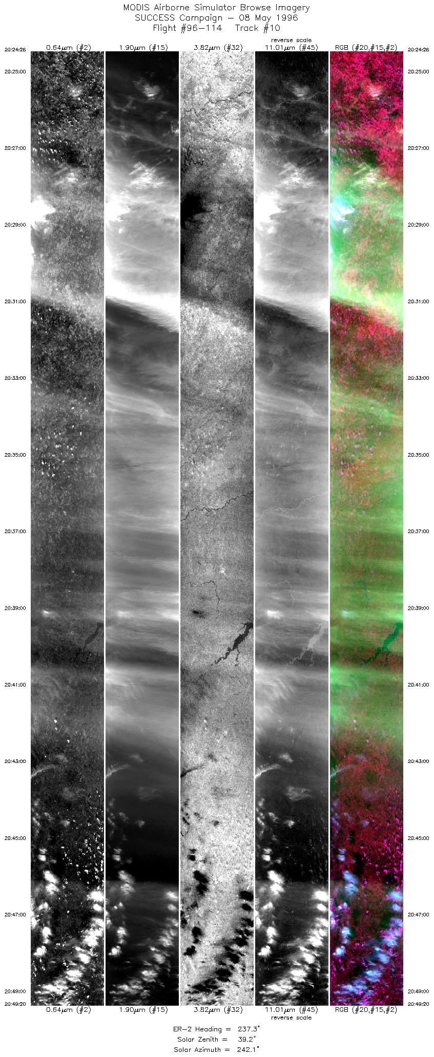
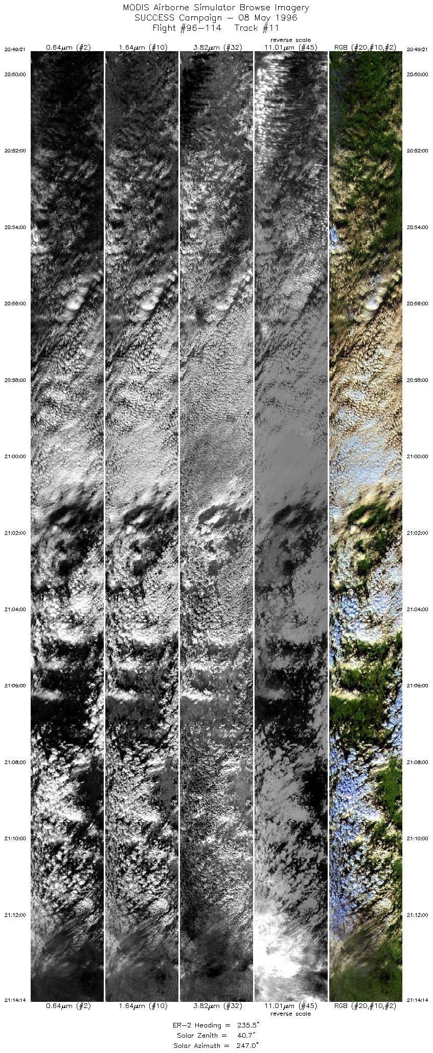
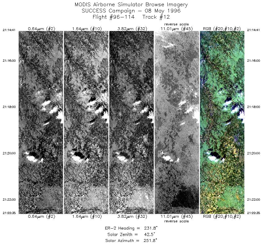
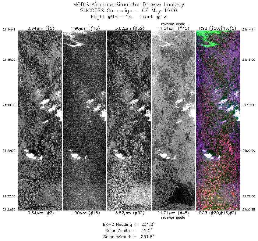
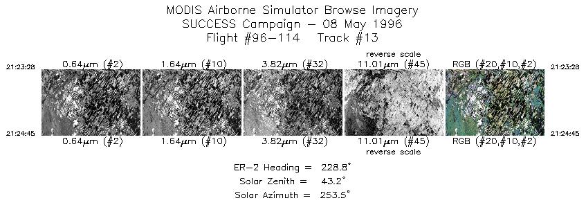
ER-2 overflew DC-8 microphysical in situ about 10 minutes behind
DC-8 data collection. Immature convective cell overflown at end
(2129 UTC) of ER-2 flight exploded into deep convection.
The pilot noted abundant cirrus when flying into
solar plane. A growing convective cell was overflown at 2128 UTC (this
cell later matured into deep convective cell - ed.). DC-8 contrails
observed ahead of ER-2 (~20 nm length) in first half of flight,
but dissipated by the time ER-2 flew over them.