The objective of this mission was to
observe T-39 and DC-8 generated persistent contrails of various
age; characterize contrail/cirrus advection over CART site by
combined ground-based uplooking and ER-2 based downlooking;
characterize ambient radiometric
conditions of atmosphere by flying upwind of T-39/DC-8 contrail
generation region.
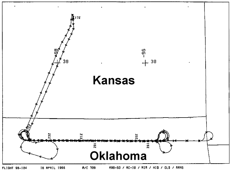
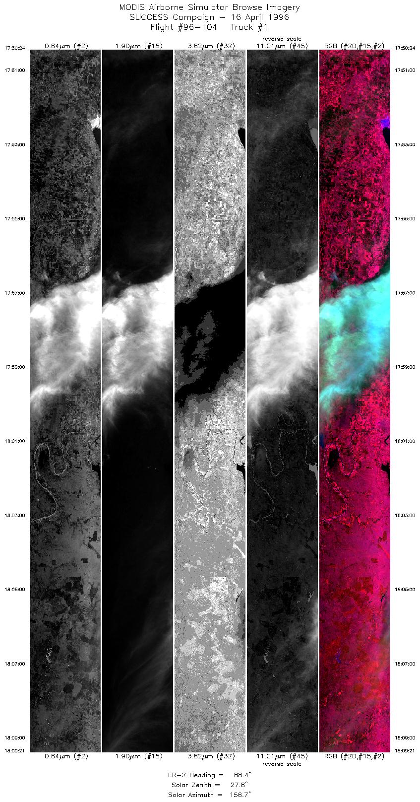
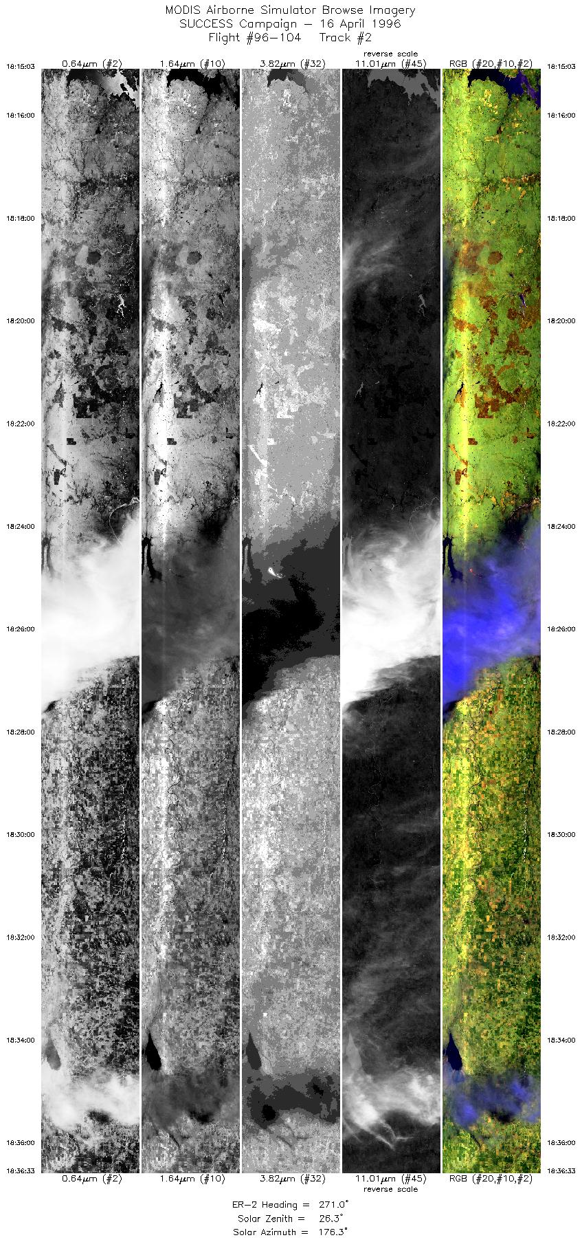
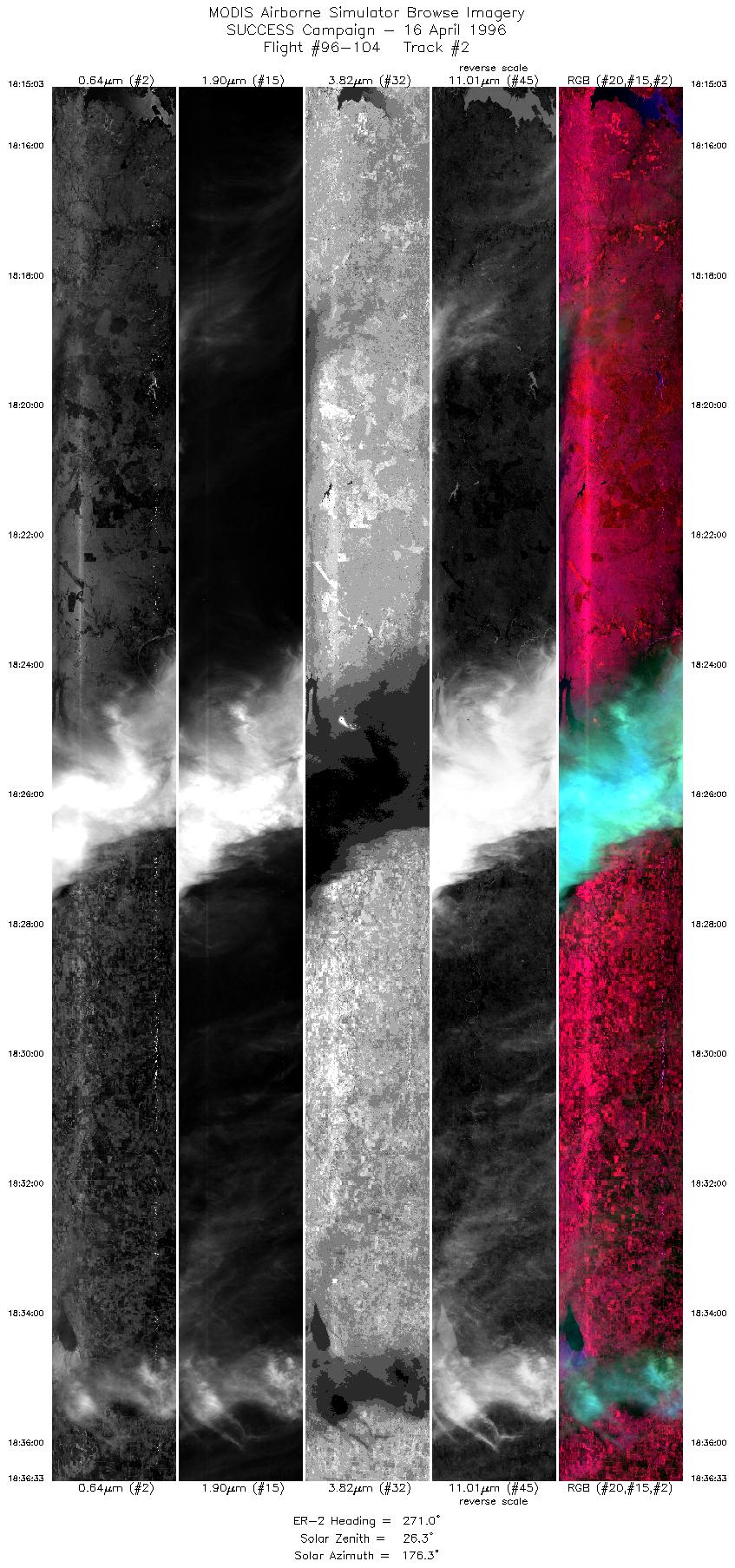
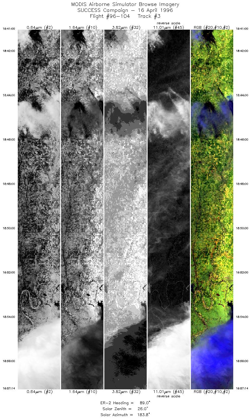
ER-2 launch at 1700 UTC; ER-2 recovery at 2335 UTC. ER-2 flew
12 legs of an east-west oriented line (headings 90 and 270 degrees
true north; 130 nm length) with ARM CART site (36 36.3'N 97 29.1'W)
positioned 50 nm from western end of nadir flight line. Final
2 legs extended to 180nm for additional downwind coverage of old
contrails. Total of 12 overpasses of ARM CART site. T-39 flying
10 nm diameter circles positioned 10, 20, and 30 nm upwind (west)
of ARM CART site. DC-8 flying north-south oriented legs centered
at 0, 10, 20, and 30 nm downwind of ARM CART site and then flying
racetrack (oriented about 15 degrees off ER-2 heading). No time-dependent
positioning coordination between ER-2 and DC-8 or T-39.
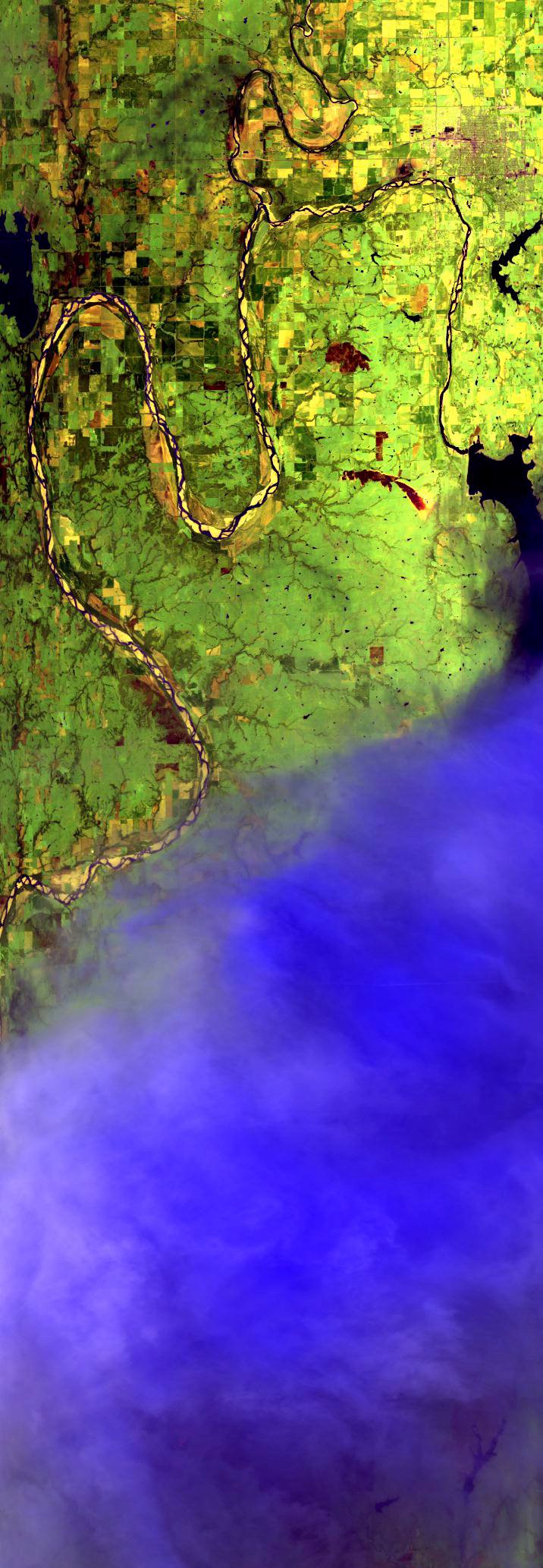
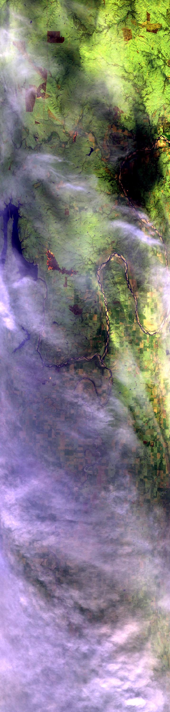
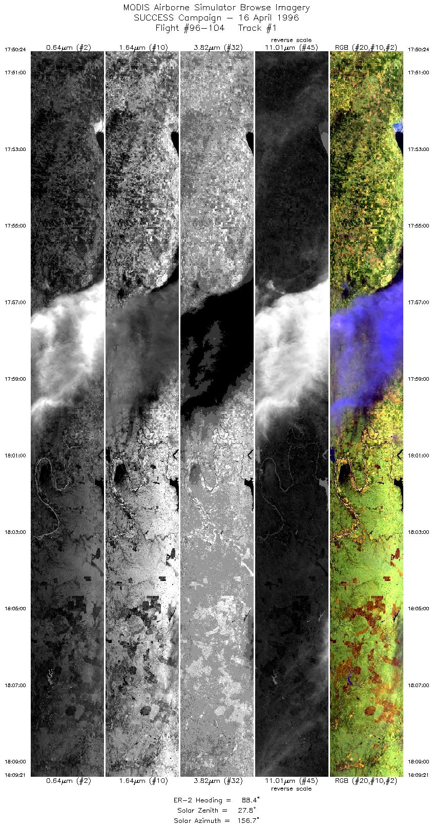
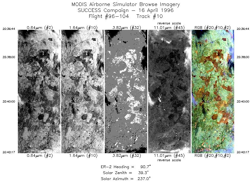
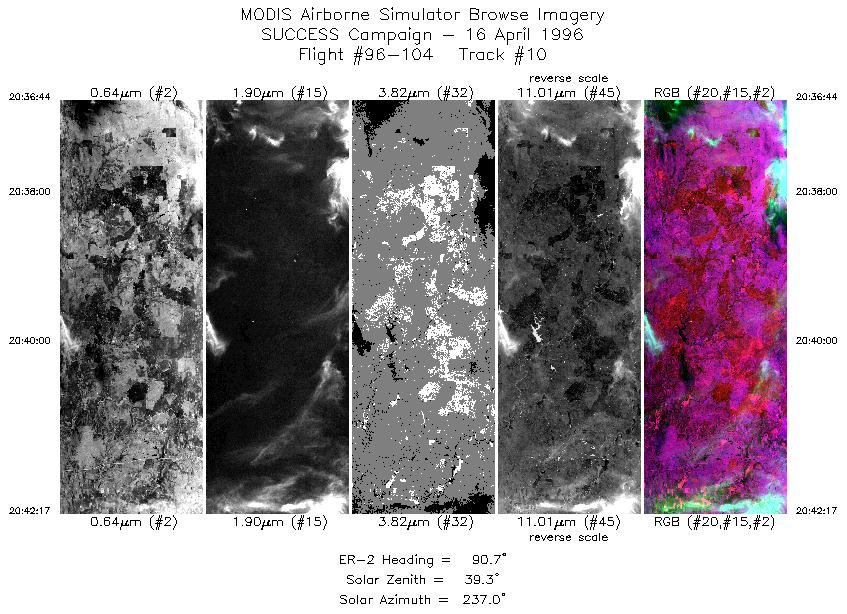
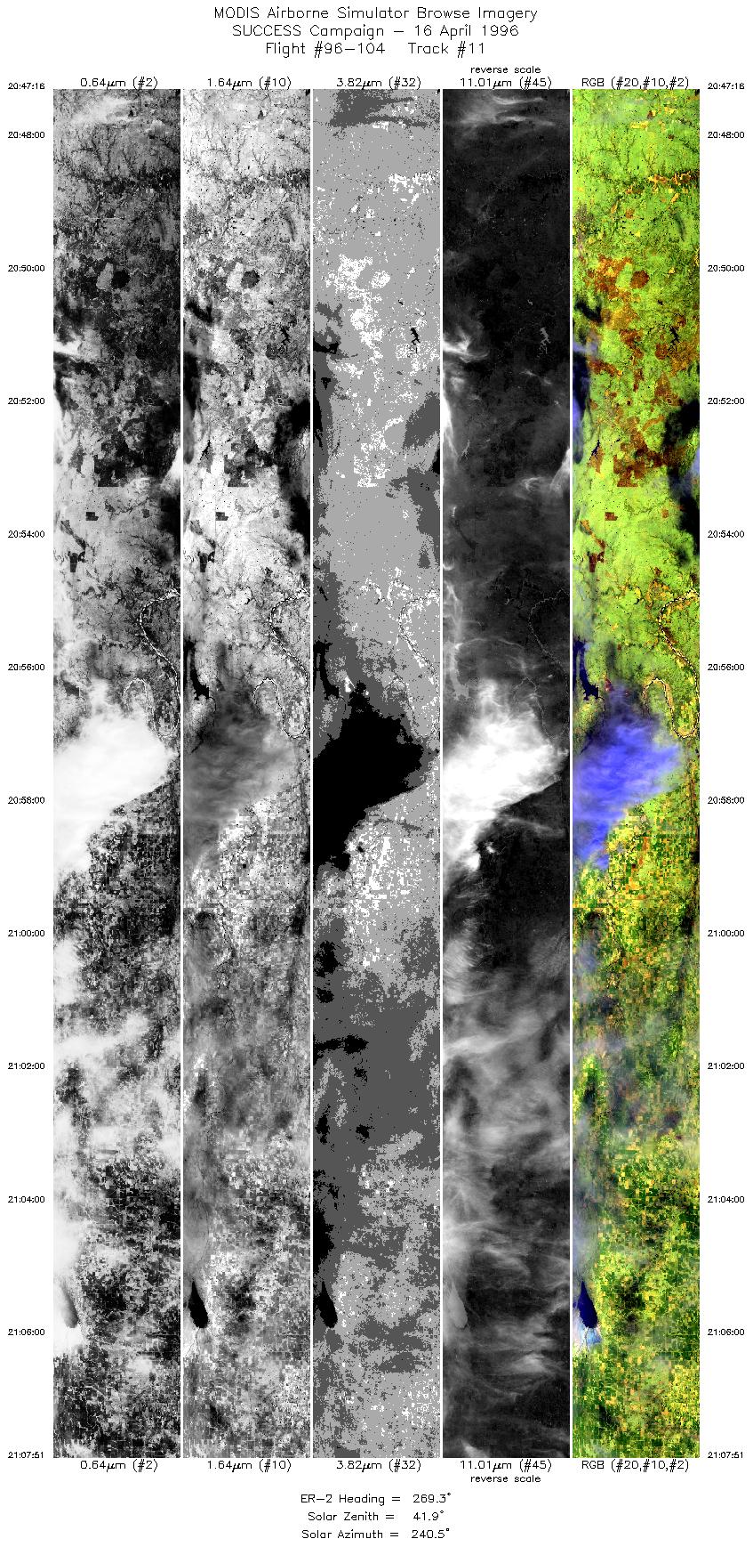
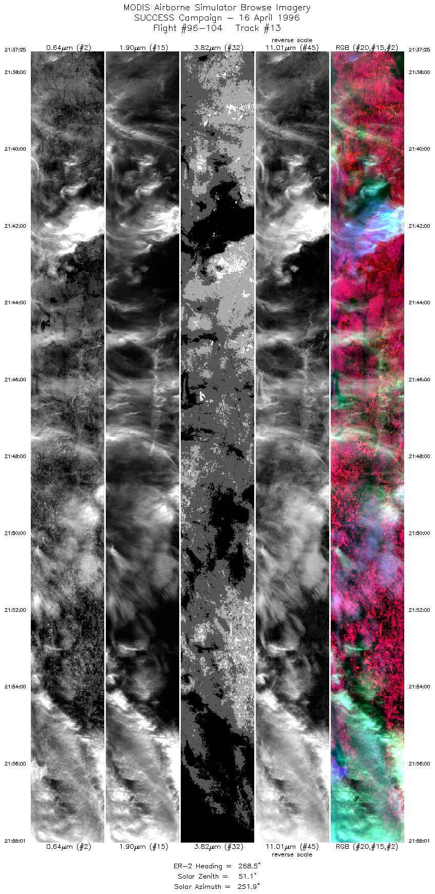
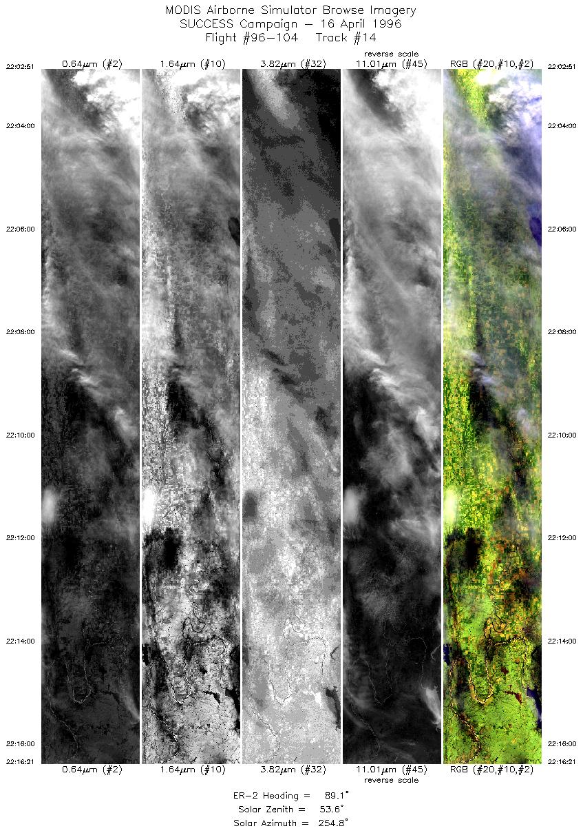
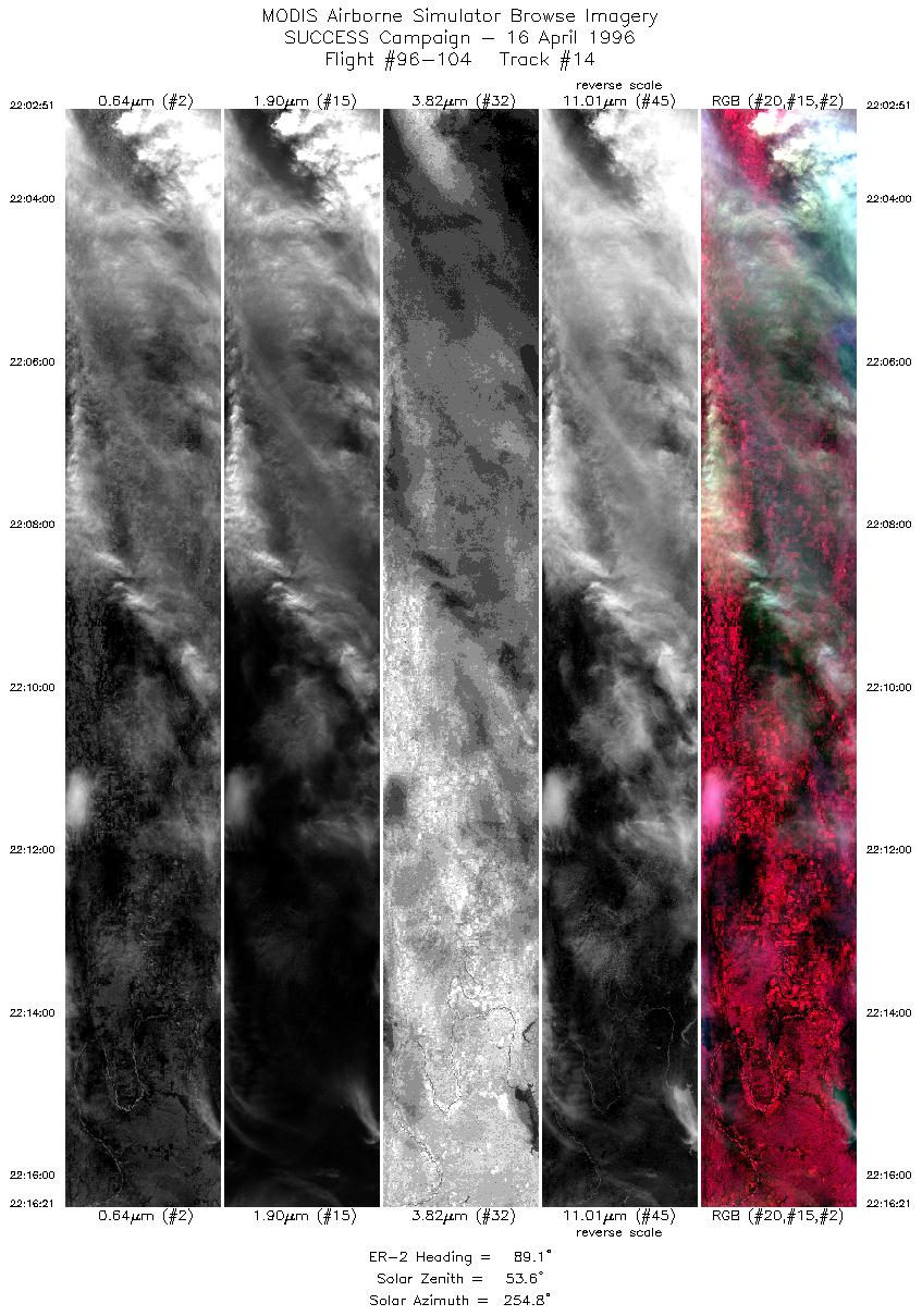
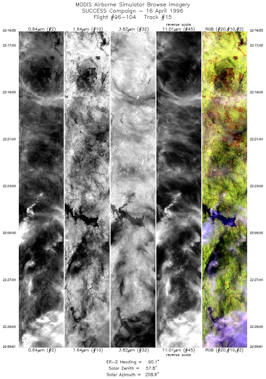
Cirrus in westerly flow aloft of varying thickness over ARM CART
site and all along ER-2 flight line. T-39 contrails were not persistent.
DC-8 contrails more persistent than T-39. ER-2 pilot had 2 visual
observations of DC-8 contrail (1802 and 2009:30 UTC).
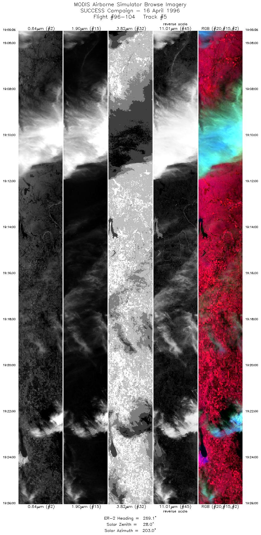
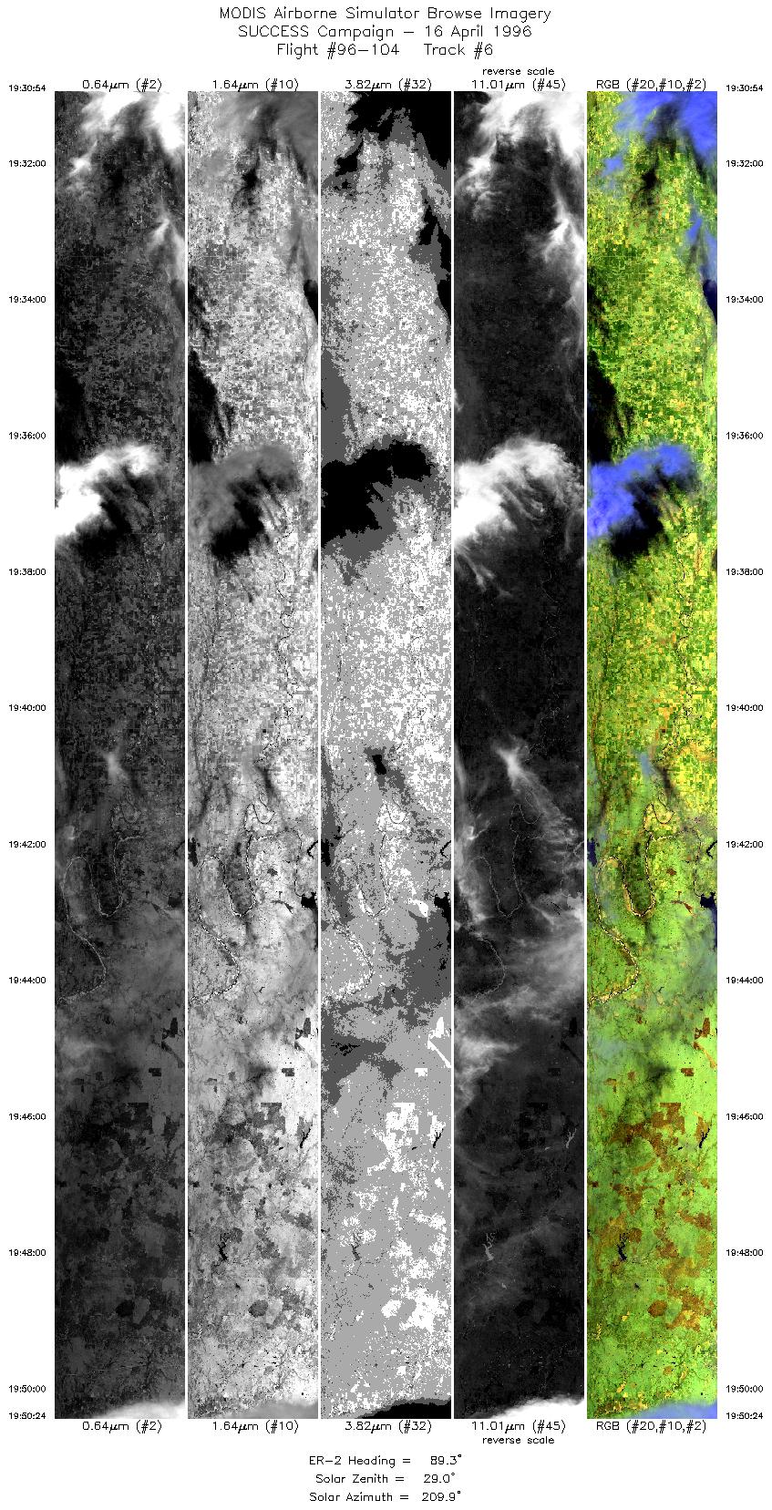
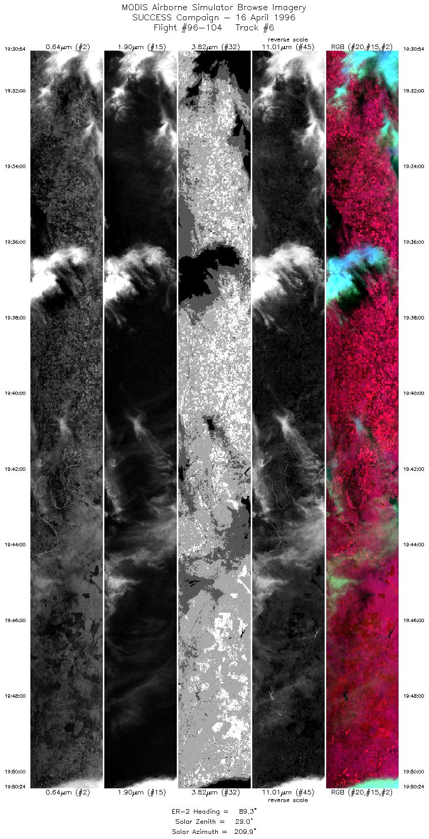
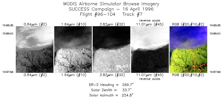
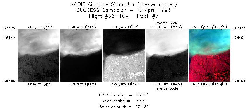
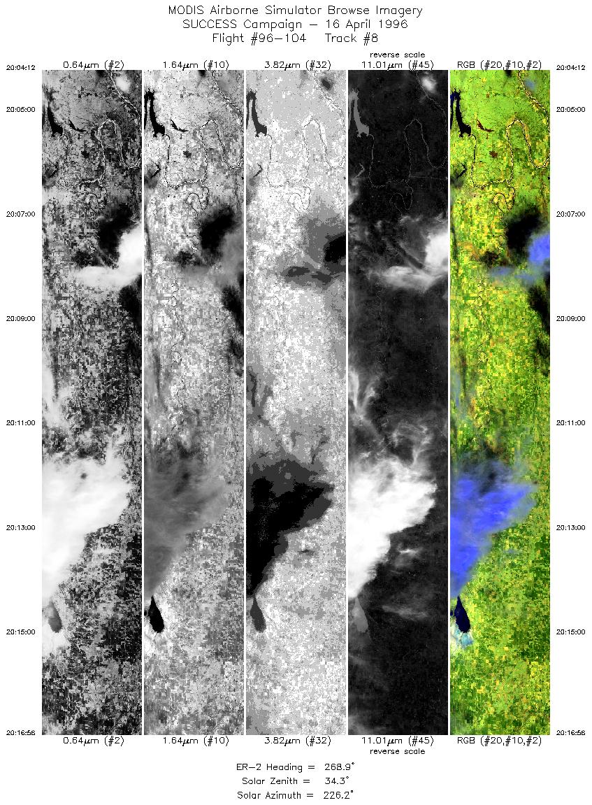
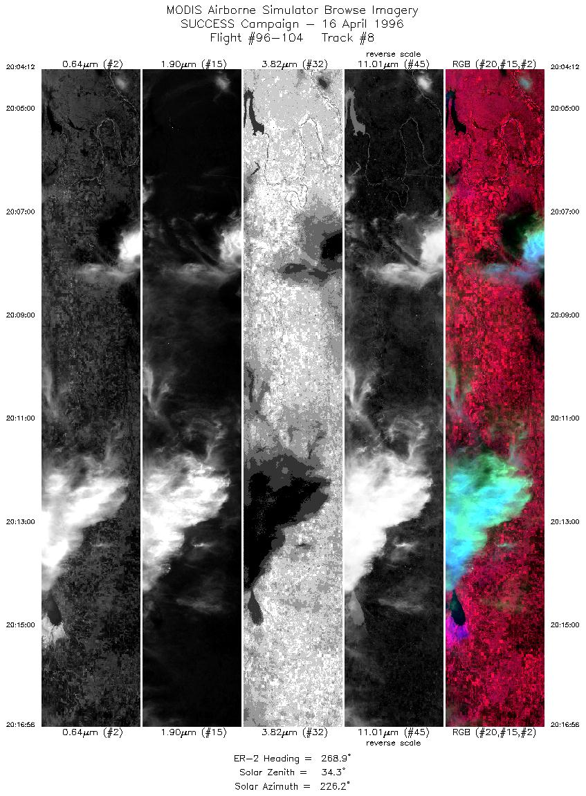
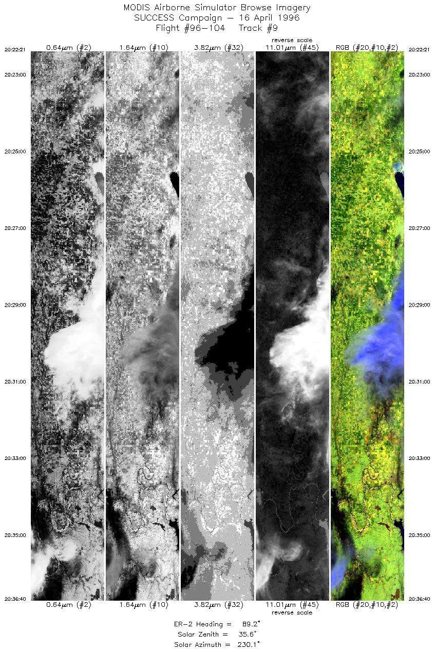
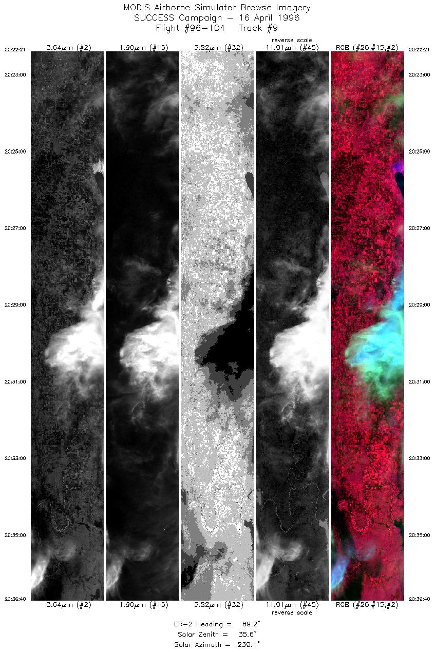
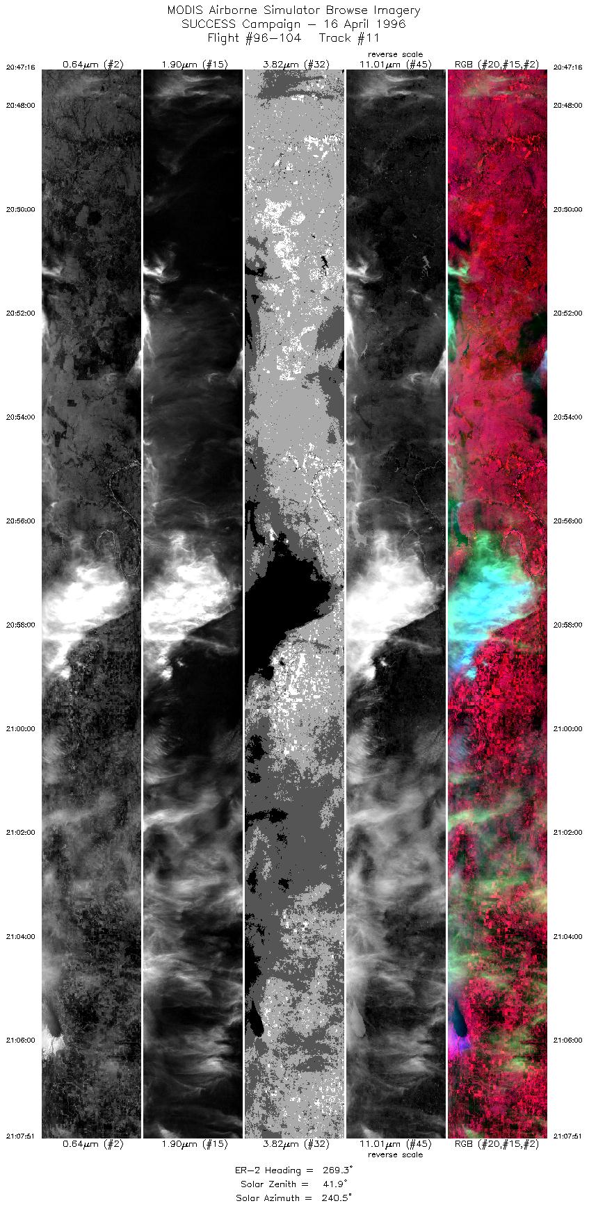
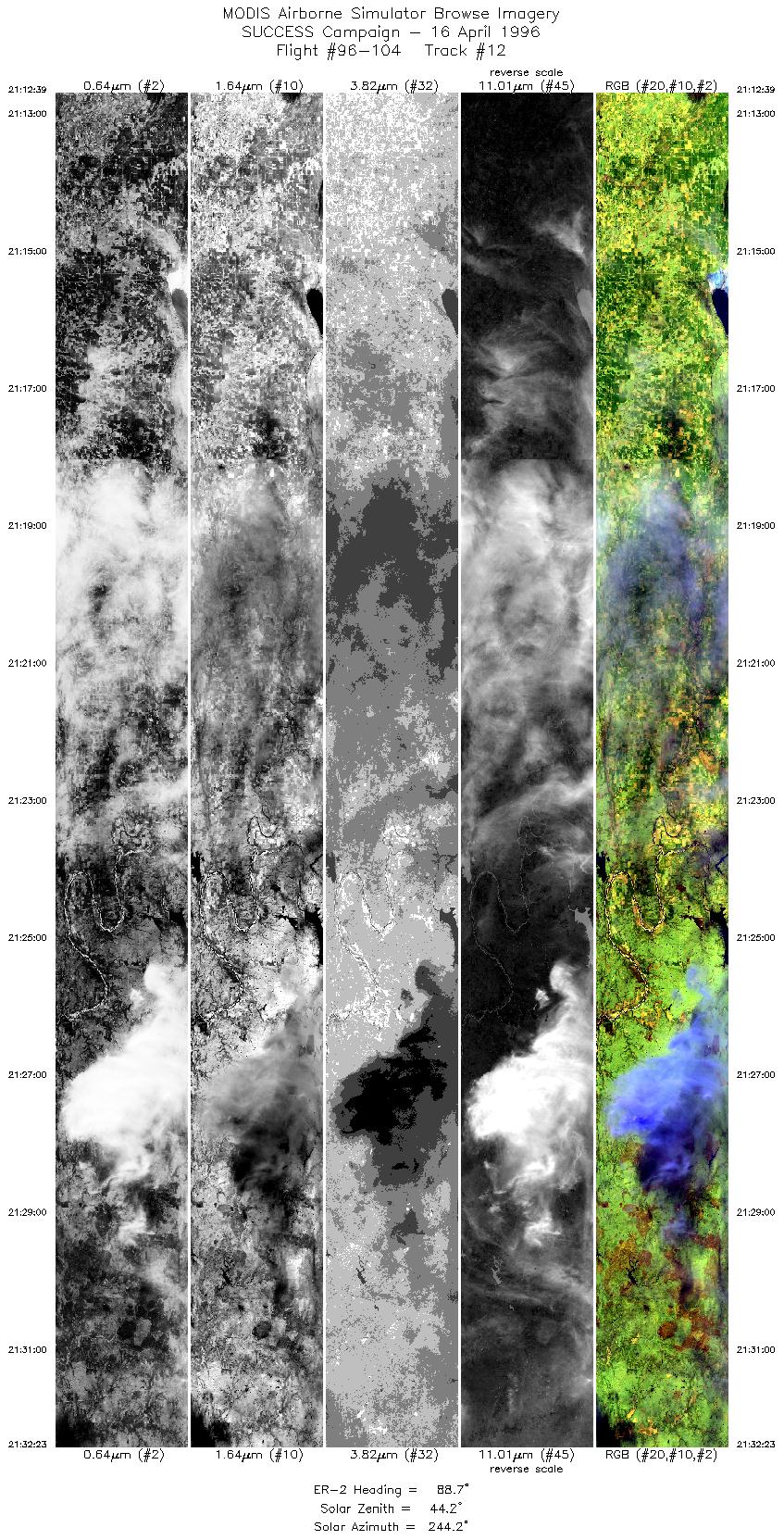
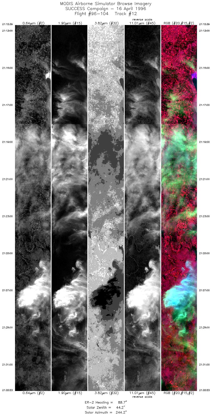
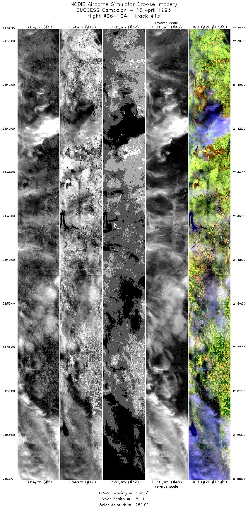
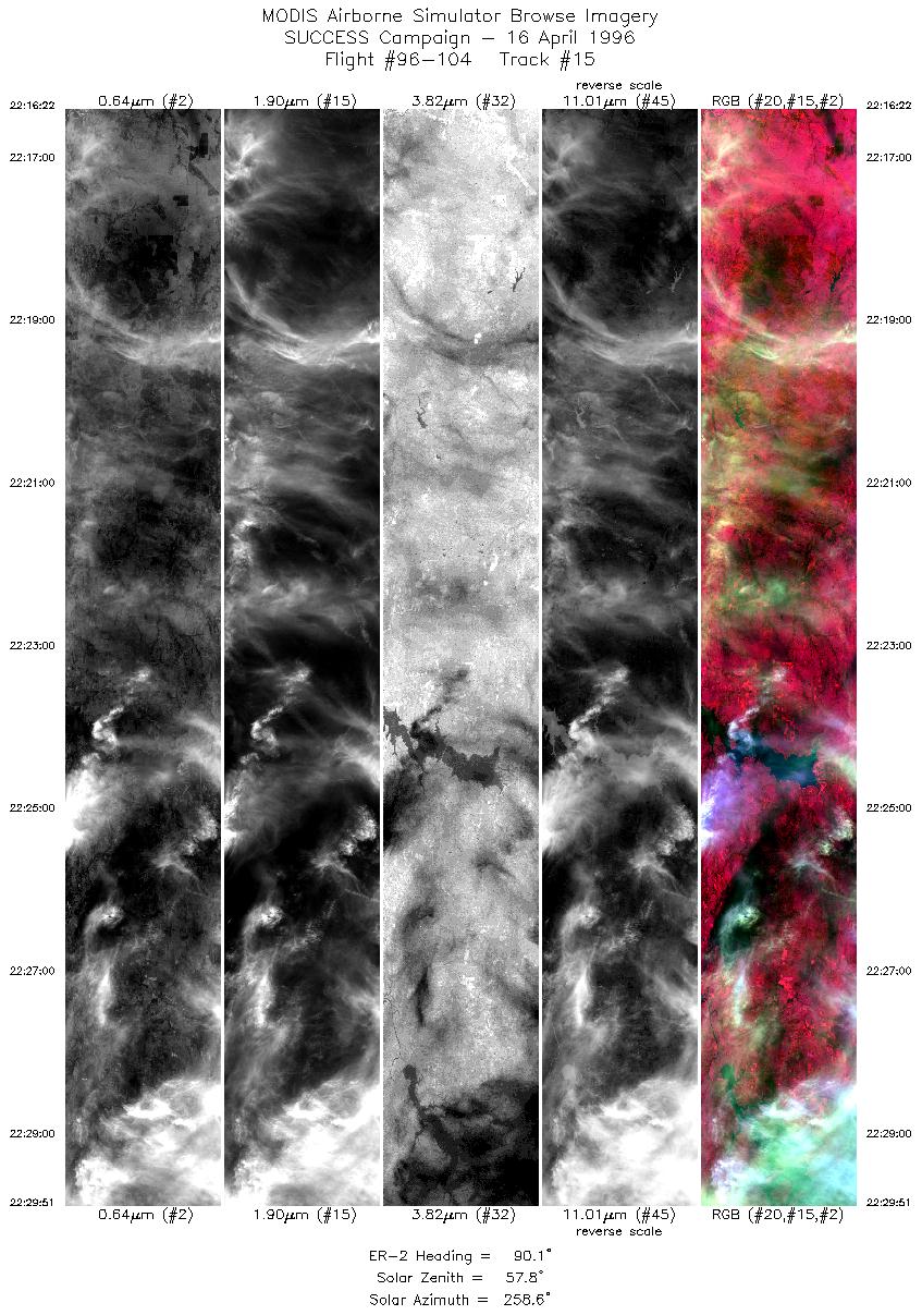
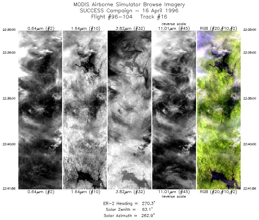
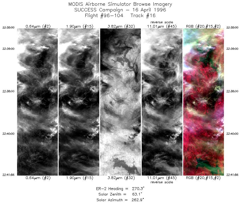
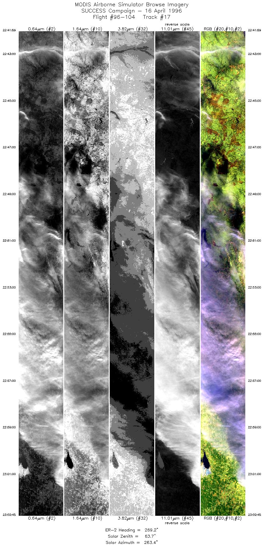
The pilot reported cirrus of varying thickness. DC-8 with
contrail apparent in MAS data at 1802 and 2009 UTC. ARM CART site
uplooking lidar operating during mission. Twelve overpasses
of ARM CART site (approximately 1758, 1828, 1849, 1918, 1939,
2009, 2030, 2100, 2121, 2150, 2211, and 2154 UTC).
DC-8 contrail short-lived at 1802
UTC. No visual of T-39 aircraft or contrails.