


MODIS Airborne Simulator (MAS)
SUCCESS CAMPAIGN OVERVIEW
|
|
What is SUCCESS? The acronym SUCCESS stands for "SUbsonic aircraft: Contrail & Clouds Effects Special Study". SUCCESS is a NASA field program using scientifically instrumented aircraft and ground based measurements to investigate the effects of subsonic aircraft on contrails, cirrus clouds and atmospheric chemistry. The experiment is co-sponsored by NASA's Subsonic Assessment Program and the Radiation Sciences Program which are part of the overall Aeronautics and Mission to Planet Earth Programs, respectively. SUCCESS has well over a hundred direct participants from several NASA Centers, other agencies, universities and private research companies. SUCCESS is coordinating with the Department of Energy's Atmospheric Radiation Measurements Program (ARM) which operates the Clouds and Radiation Testbed (CART) site located in Northern Oklahoma, and Southern Kansas. In addition to the extensive ground based measurements at the CART site, ARM will also make airborne measurements with scientifically instrumented Remotely Piloted Aircraft (RPA's). What are the objectives of SUCCESS? SUCCESS has several objectives:
What aircraft were used during SUCCESS? In order to achieve experimental objectives several aircraft were used during SUCCESS: a medium-altitude DC-8 and a high-altitude ER-2, both based at NASA Ames Research Center, Moffett Field, California and a T-39 aircraft based at NASA Wallops Flight Facility, Wallops Island, Virginia. The DC-8 aircraft was used as an in situ sampling platform. It carried a wide variety of gaseous, particulate, radiative, and meteorological instruments. The T-39 aircraft was used primarily to sample the exhaust from other aircraft. It carried a suite of instruments to measure particles and gases. Also employed was an ER-2 aircraft used as a remote sensing platform. The ER-2 acted as a surrogate satellite so that remote sensing observations could be related to the in situ parameters measured by the DC-8 and T-39. When and where did SUCCESS take place? The 5 week SUCCESS field mission deployment began on Monday 8 April 1996, and continued through Friday 10 May 1996. During the SUCCESS field deployment, all three NASA aircraft were used. The campaign was based in Salina, Kansas on the Salina campus of Kansas State University. A series of flights, averaging one every other day, were made mainly near the DOE CART site. Additional flights were made over the Rocky Mountains, to investigate wave clouds. Flights were also made over the Gulf of Mexico utilizing an oceanic background for remote sensing measurements. Who is participating in SUCCESS? Personnel from several government, educational, and commercial institutions participated in SUCCESS, including:
Sample Level-1B HDF file
|
RELATED WEB SITES
|
NASA Airborne Science Program |

SUCCESS Overview


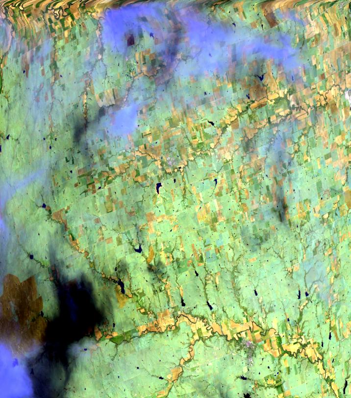
| Sample Imagery |
| Click image for full resolution |
|
Flight: 96-110, Track #26 Mt. Evans, Colorado |


|
|
R: 2.14µm G: 0.94µm B: 0.64µm |
Earth Scene Imagery

These sample images represent the enormous repository of data from various campaigns collected over the past two decades.
- NASA Official: Matt Fladeland
- Project Manager: James Jacobson
- Website Editor: Eric Fraim
- Last Updated: March 21, 2024


