SUCCESS Campaign
Flight #96-101

Sample Image
click image!
09 April 1996
Track #07


"Turbid Waters in Atchafalaya Bay, Louisiana"

R: 2.15 microns
G: 1.64 microns
B: 0.64 microns
Summary Information
Date: April 09, 1996
ER-2 Flight Number: 96-101
Location: Kansas to Louisiana Coast
Principle Investigator: Dr. Brian Toon (NASA Ames)
Additional Sensors: CIR_12"_RC-10

Level-1B Processing Information
Level-1B Data Version: #10
Calibration Type: Final
Calibration Version: SUCCESS_Ames 1.0
Temperature Adjustment: No
Status: Final Calibration Done

Flight Track Map

click map!
Level-1B Browse Imagery
Straight Line Flight Tracks: 18
Scanlines Processed: 99170
Solar Azimuth and Zenith Angles
Browse Images
Click on the Flight Track number to load images.
Lat/Lon ranges are for the BEG-END scanline nadir pixels.
Flight
Track
Standard
Image
Cirrus
Image
Time_Span
(GMT)
Heading
(Deg)
Lat_Range
(Deg_N)
Lon_Range
(Deg_W)
Length
(Scanlines)
1 STD CIR 12:50-12:53 181 36.83-36.54 97.58-97.58 915
2 STD CIR 12:54-13:10 139 36.41-34.96 97.49-96.06 5827
3 STD CIR 13:10-13:25 139 34.95-33.50 96.06-94.69 5814
4 STD CIR 13:26-13:43 157 33.44-31.53 94.65-93.68 6505
5 STD CIR 13:43-14:00 158 31.53-29.69 93.67-92.77 6447
6 STD CIR 14:02-14:20 116 29.57-28.70 92.57-90.46 6453
7 STD CIR 14:23-14:43 294 28.93-29.87 90.30-92.51 7532
8 STD CIR 14:47-15:05 116 29.60-28.70 92.67-90.47 6659
9 STD CIR 15:09-15:10 297 28.93-29.00 90.33-90.48 537
10 STD CIR 15:10-15:29 294 29.02-29.86 90.50-92.49 6851
11 STD CIR 15:33-15:50 115 29.58-28.70 92.60-90.47 6405
12 STD CIR 15:54-16:11 296 28.94-29.76 90.33-92.23 6597
13 STD CIR 16:12-16:17 253 29.75-29.59 92.38-92.97 1800
14 STD CIR 16:17-16:30 254 29.59-29.19 92.98-94.46 4685
15 STD CIR 16:34-16:51 358 29.49-31.40 94.64-94.66 6504
16 STD CIR 16:51-17:08 357 31.41-33.33 94.66-94.67 6491
17 STD CIR 17:10-17:27 323 33.44-35.01 94.72-96.10 6577
18 STD CIR 17:27-17:45 323 35.01-36.60 96.10-97.56 6571
Standard Browse Images 01 through 18 in sequence
Cirrus Detection Browse Images 01 through 18 in sequence

Level-1B HDF Data Distribution Point
NASA GSFC Earth Sciences (GES) Data Center
NASA DAAC's

Additional Information
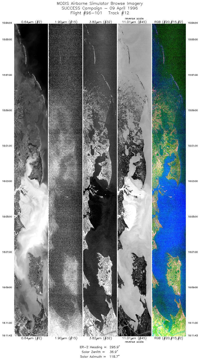
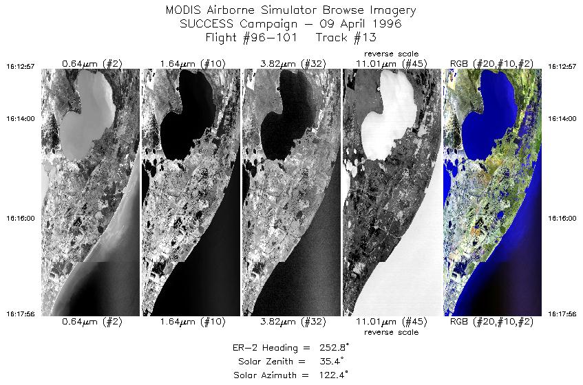
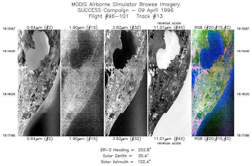
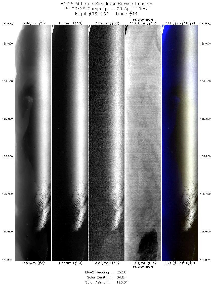
The objective of this mission was to study Louisiana coastal zone turbidity; monitor short term (hourly) sediment transport in turbid coastal waters in Atchafalaya Bay, Louisiana (primary) using MODIS Airborne Simulator (MAS); monitor sea surface temperature in nearshore Gulf of Mexico including overpass of NOAA Buoy 92035 (secondary) using MAS and HIS (High Resolution Interferometer Sounder).

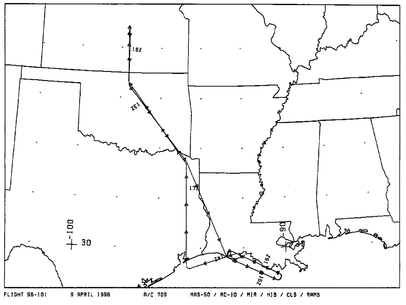
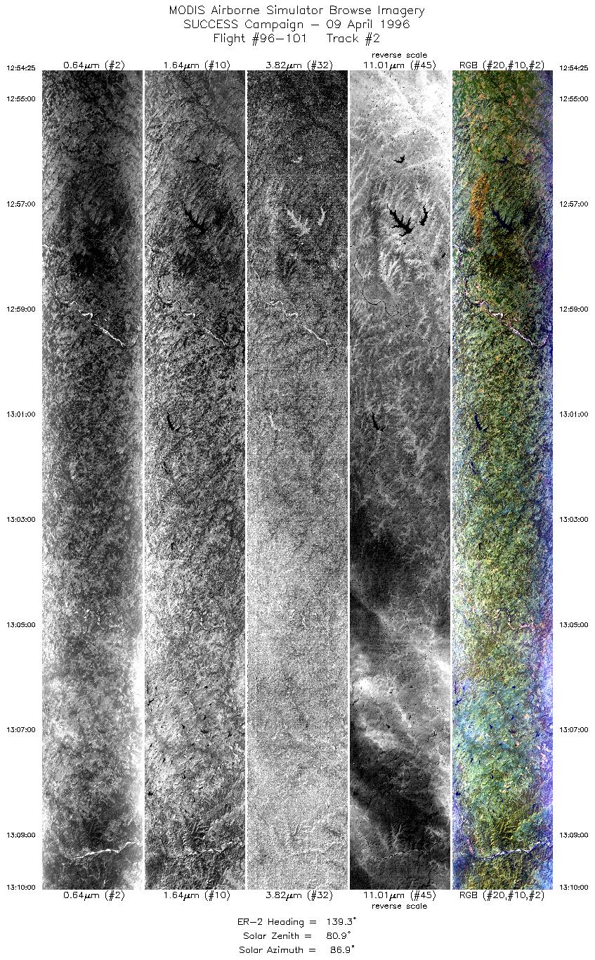
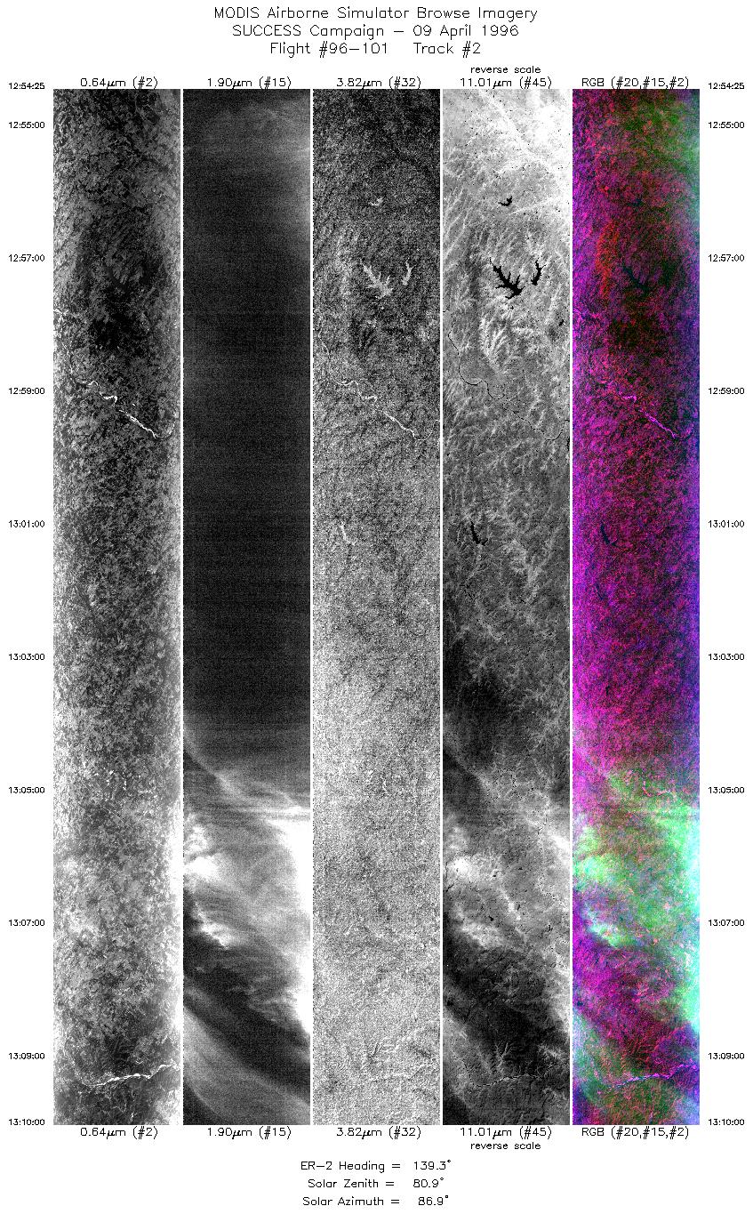
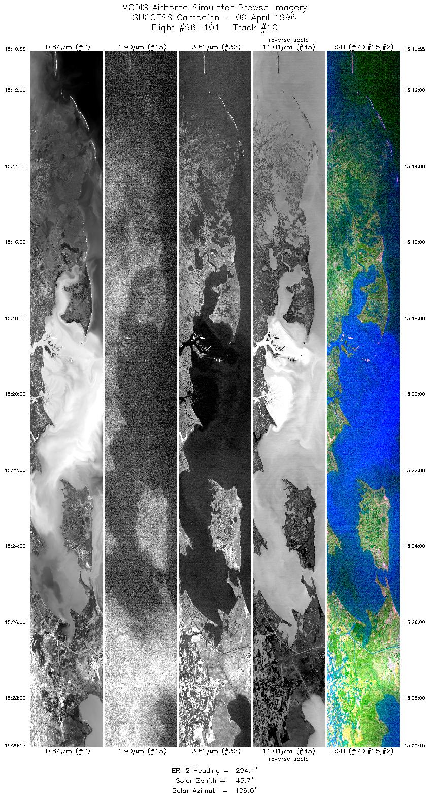
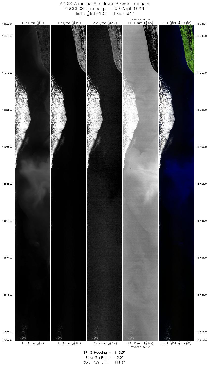
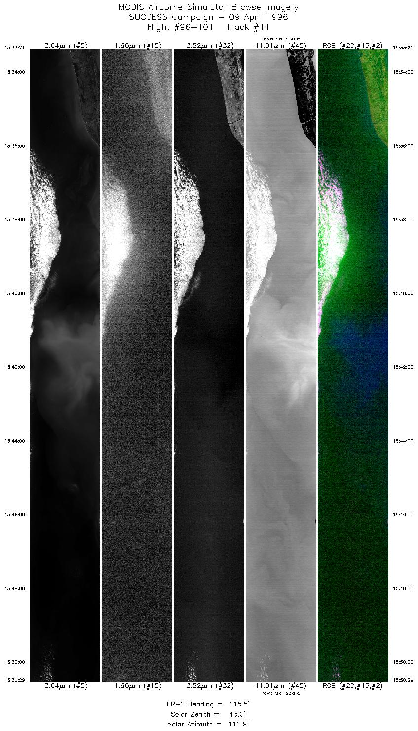
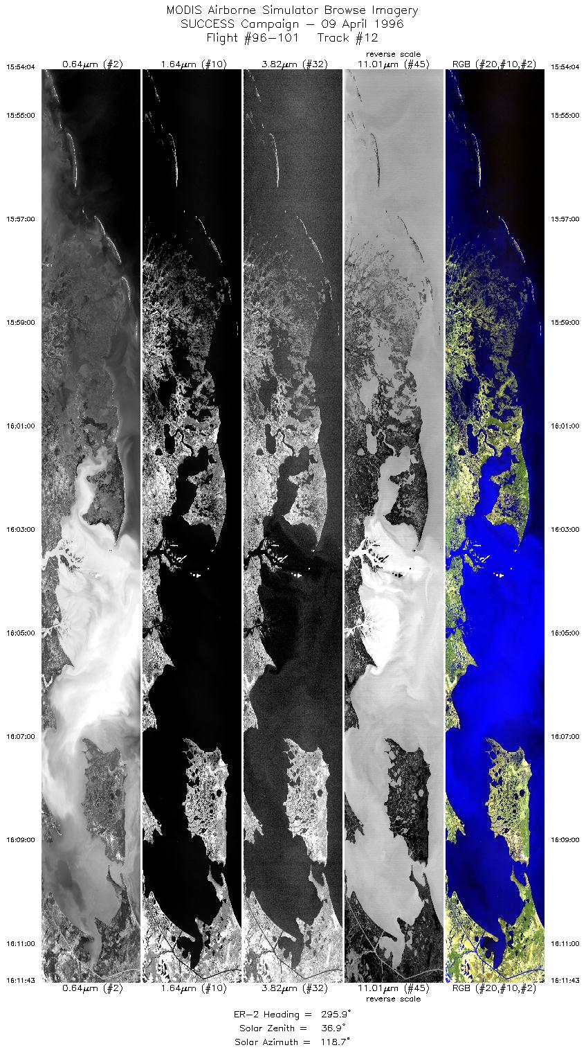
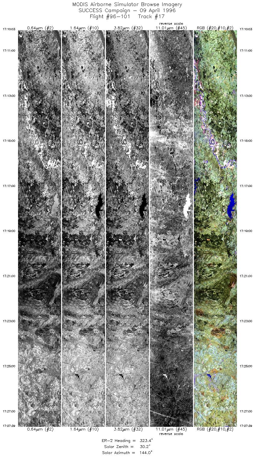
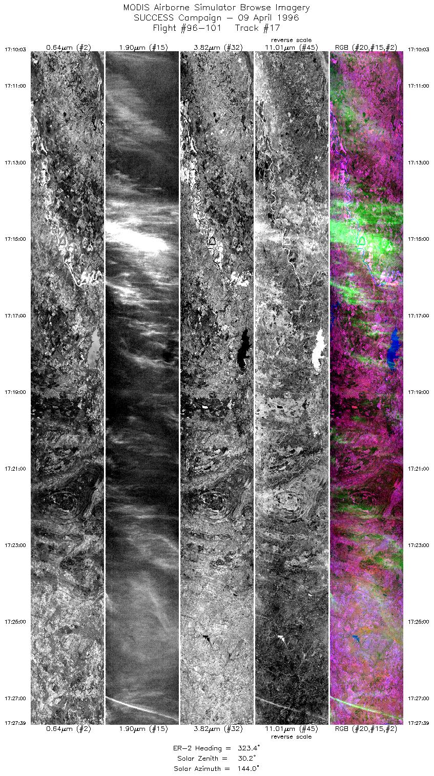
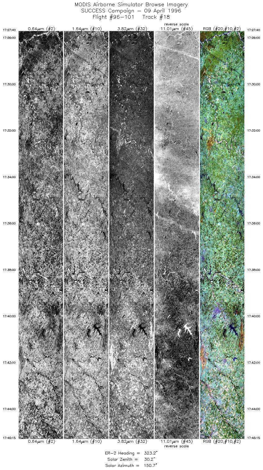
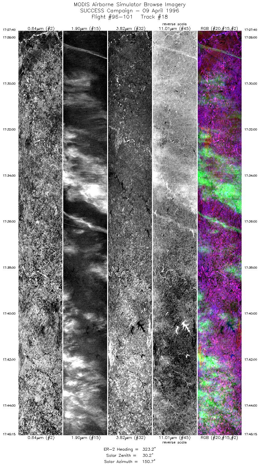
Take-off was 12:30 UTC and return time was 18:20 UTC. ER-2 flew 3 complete revolutions (1402 - 1612 UTC) of NW-SE oriented racetrack pattern (200 km legs) over Atchafalaya Bay region of Louisiana 
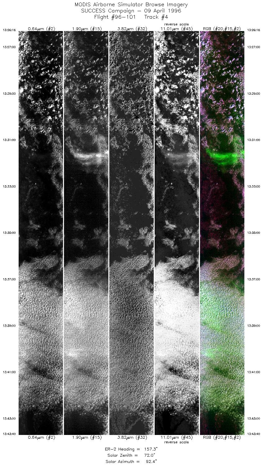
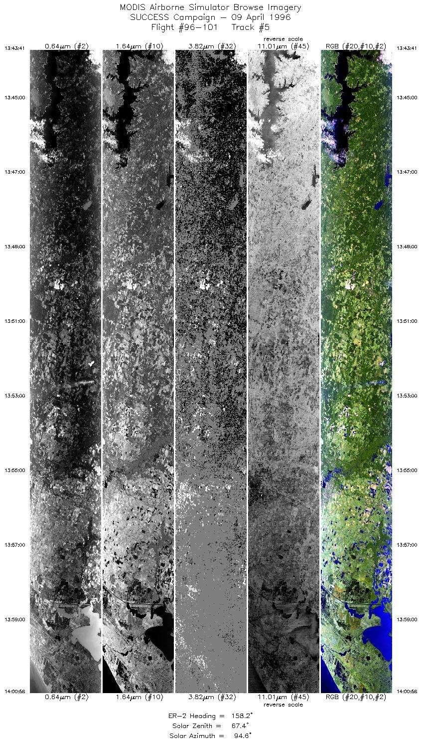
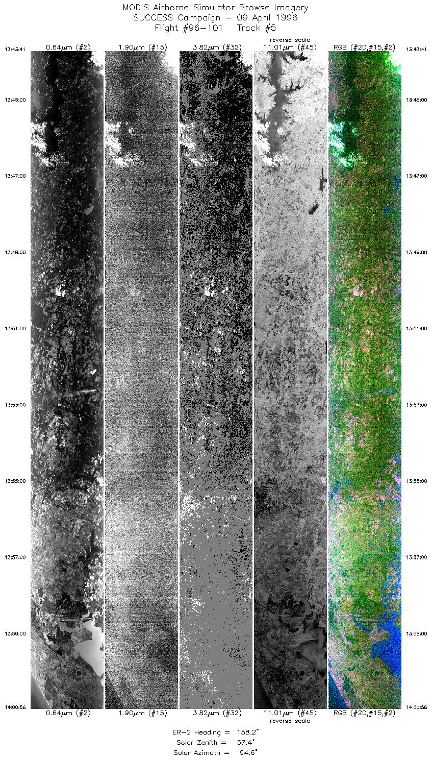
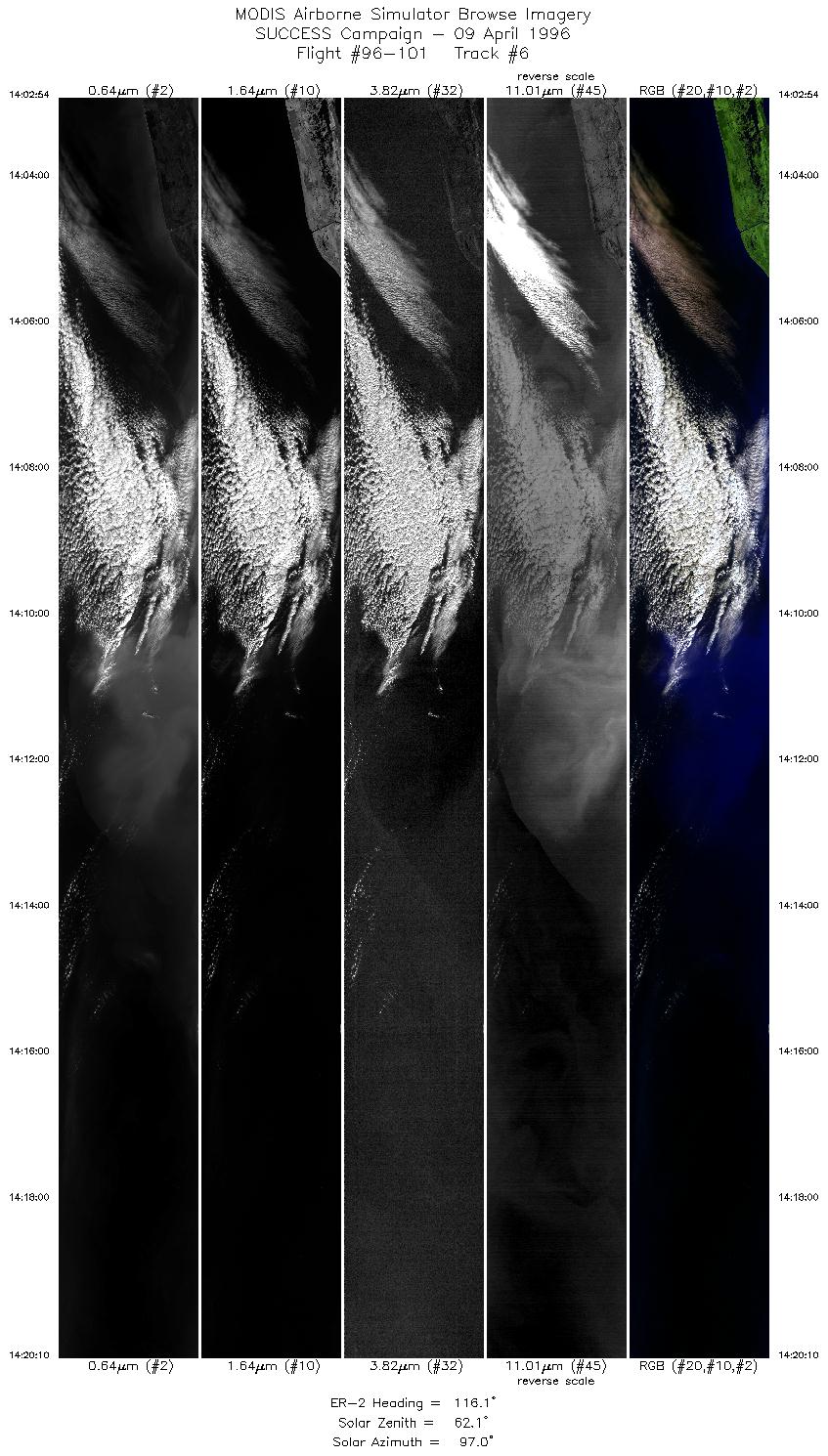
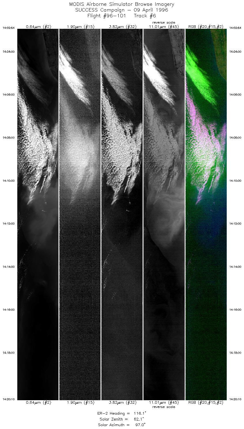
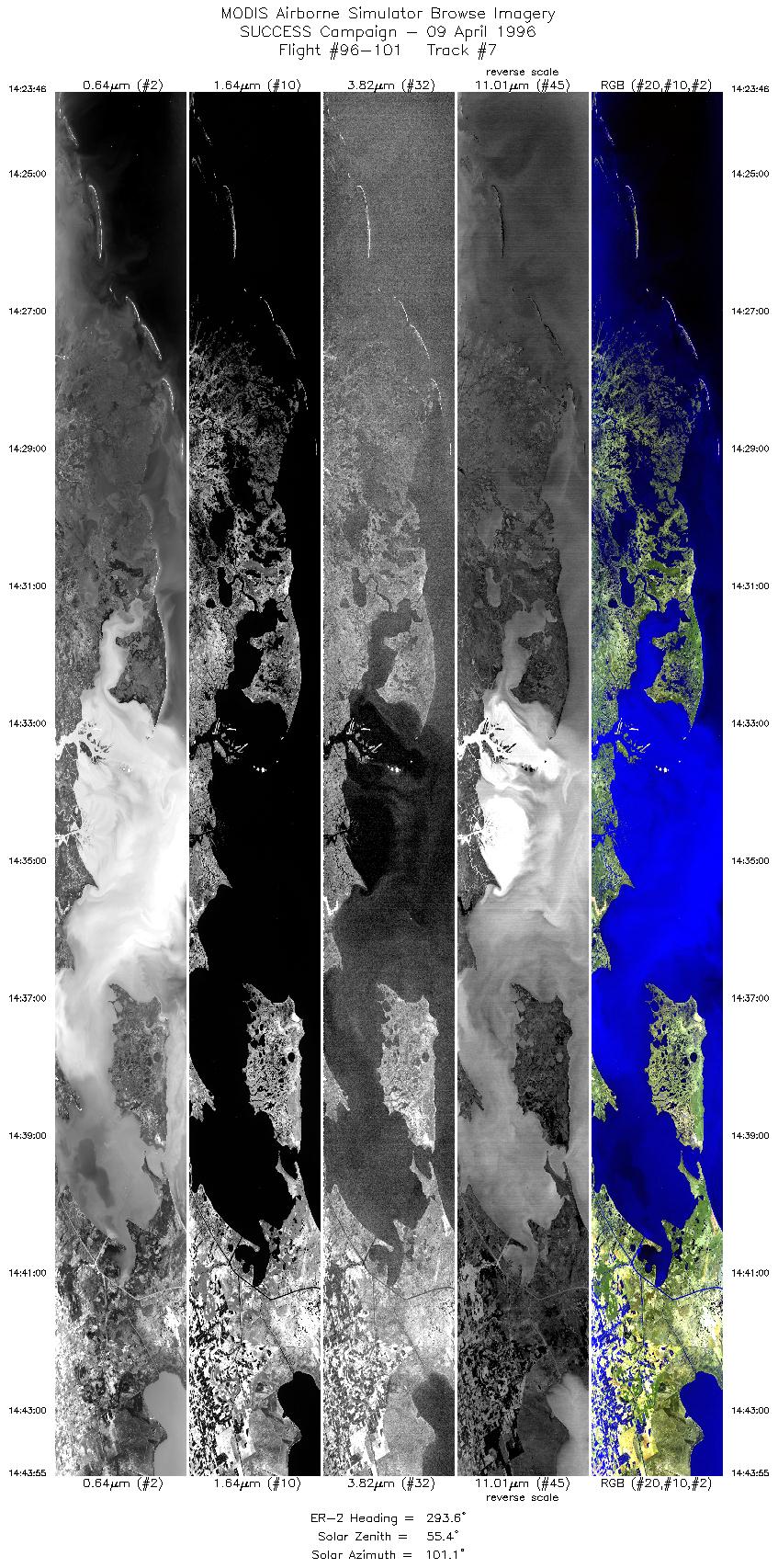
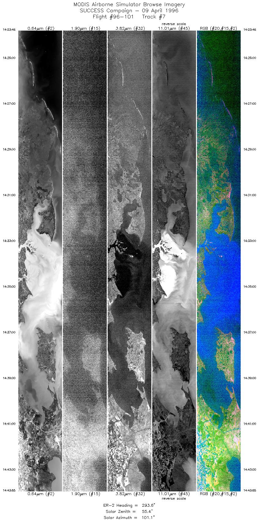
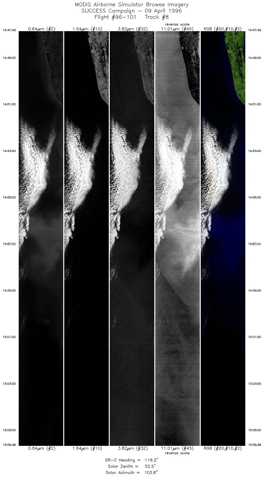
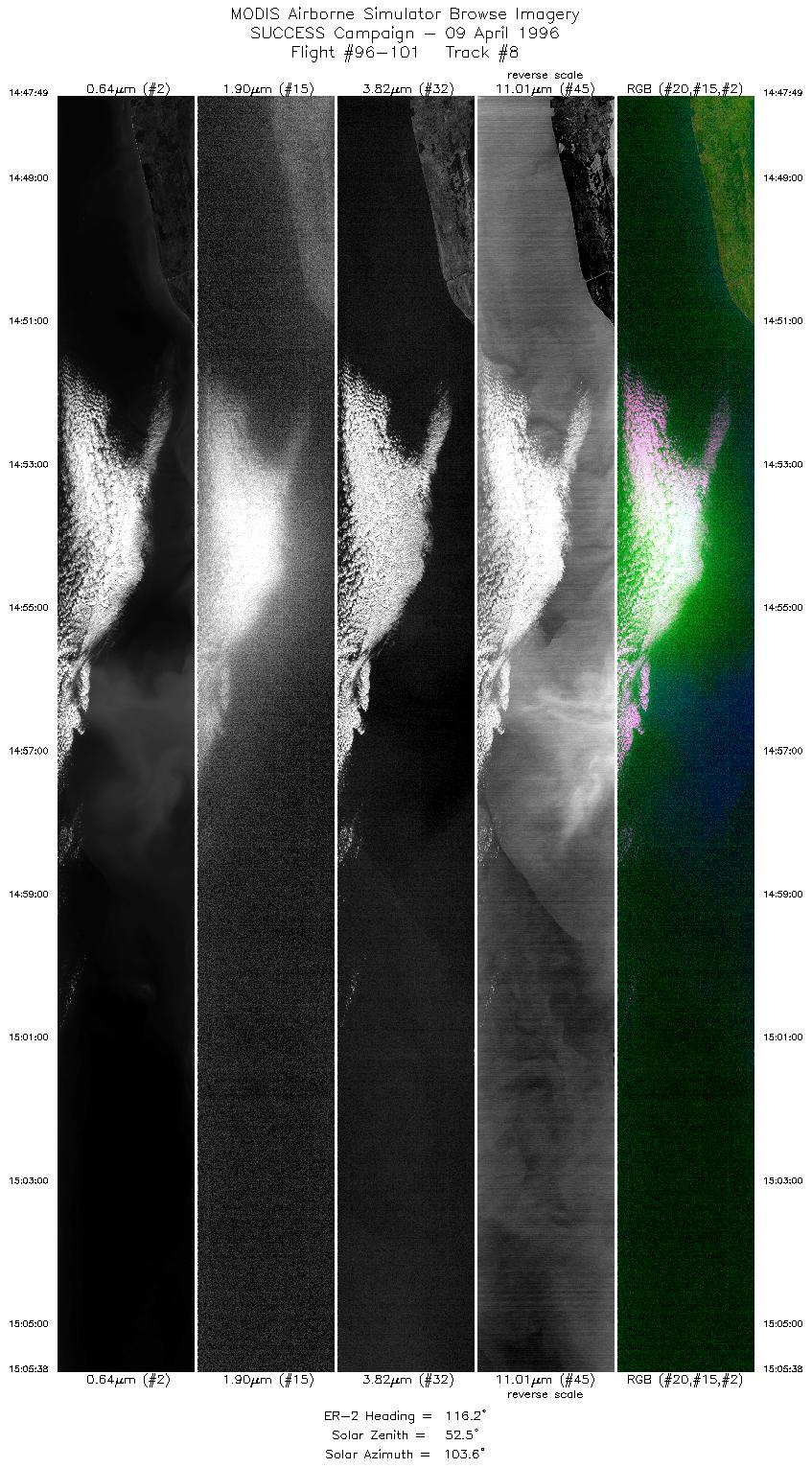
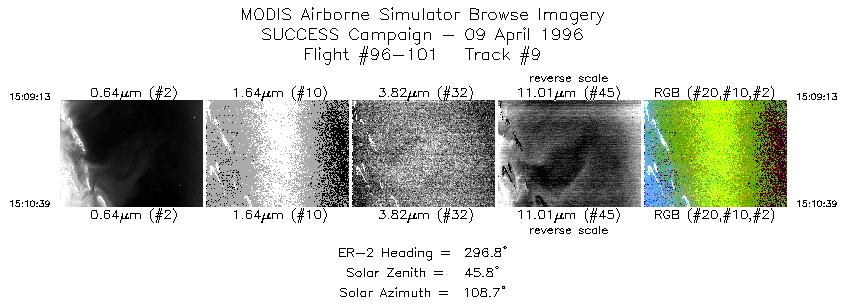
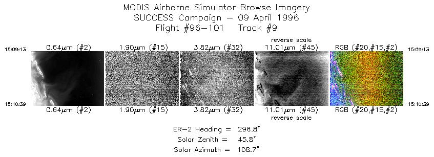
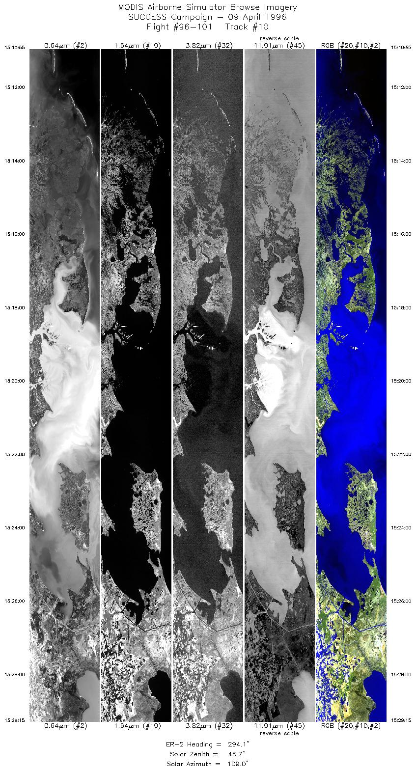
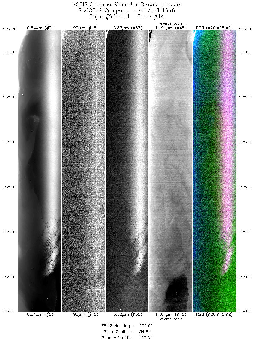
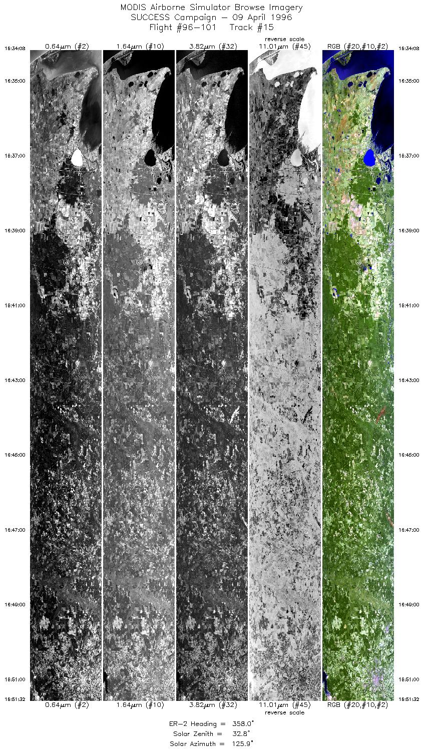
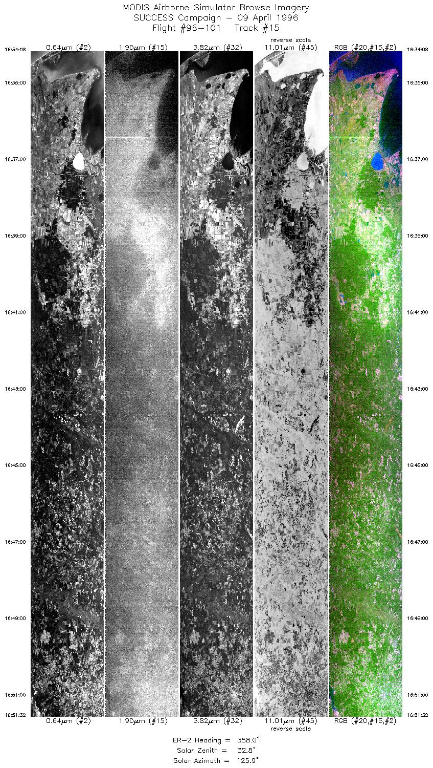
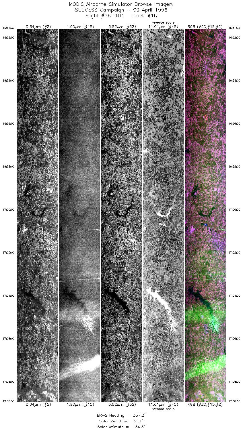
coast. Scenes predominantly clear-sky turbid water in the Atchafalaya Bay region. About 20% coastal land coverage. Some fog/stratus (10%) present over water in outer leg of racetrack.

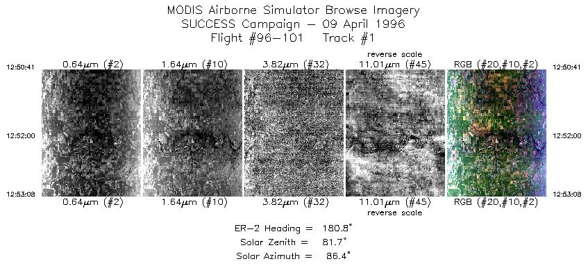
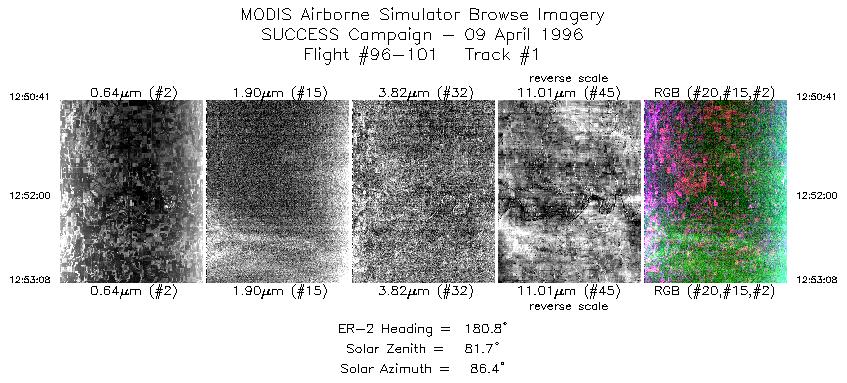
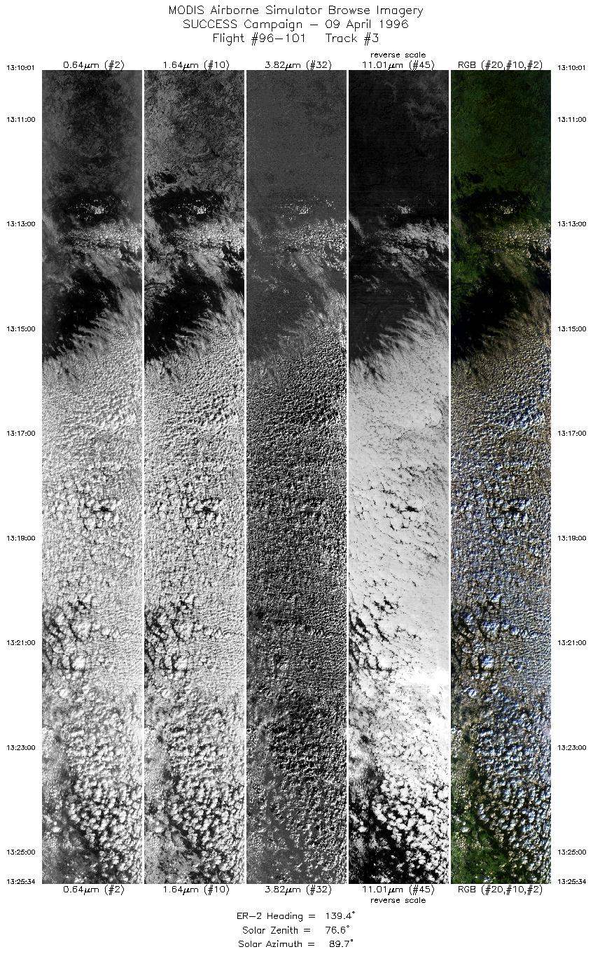
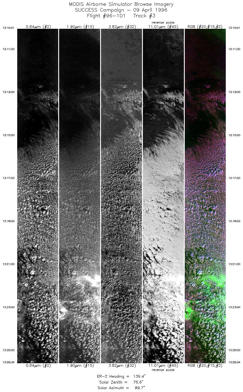
Excellent data collection over Atchafalaya Bay. Large turbidity gradients present for detecting water motions. High turbidity water extending southward from Bay region out onto the inner continental shelf of the Gulf of Mexico. In situ data collection (water samples, radiometric monitoring of reflectance) from boat teams supporting MAS radiometric measurements.

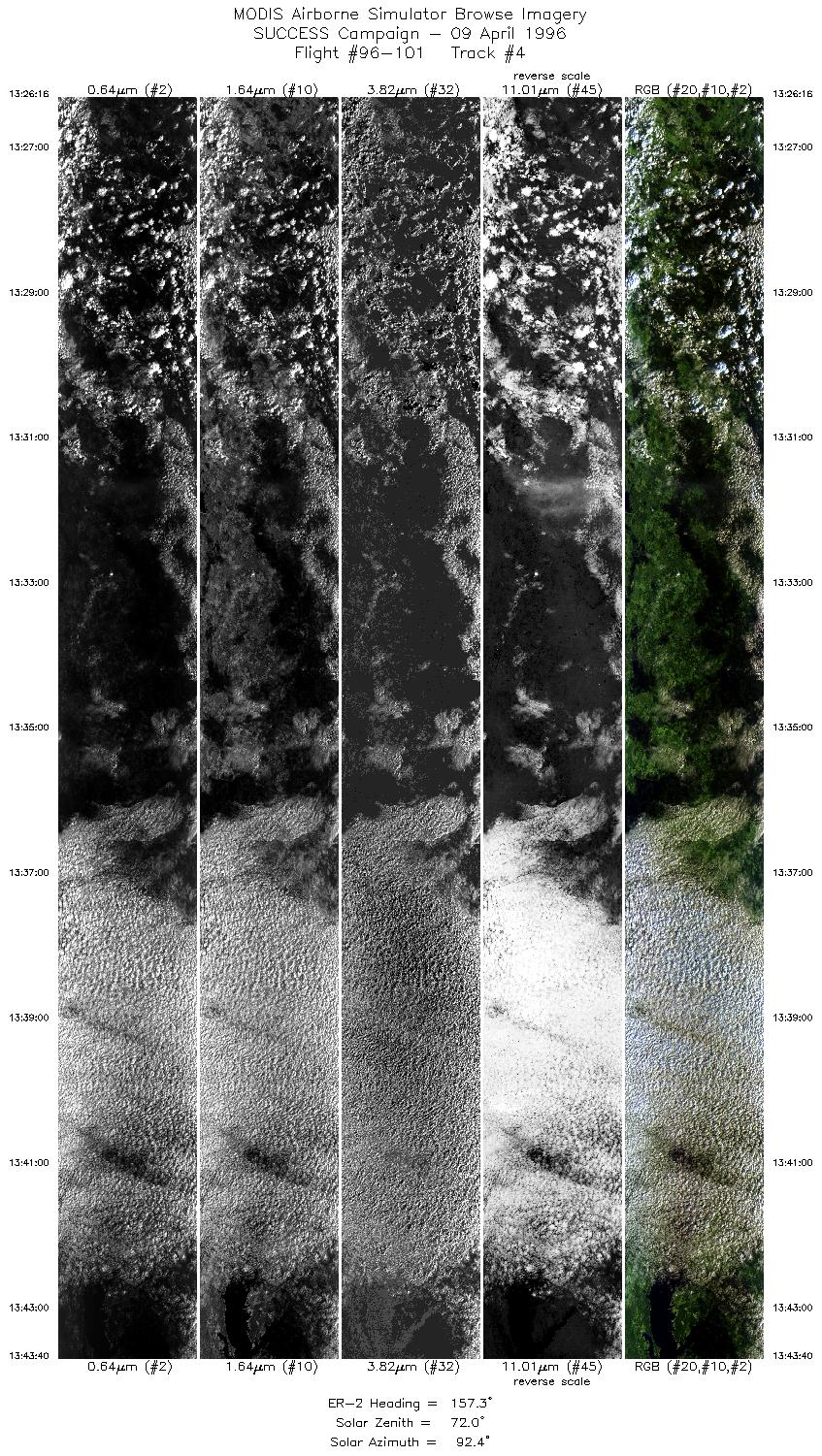
Finally, there was an ARM CART site overpass both outbound and inbound. The pilot noted the aircraft was at approximately 55,000 feet on outbound CART overpass. CART overpass on return at approximately 17:44 - clear sky conditions over site.


Back to: [SUCCESS Campaign]

Another SUCCESS Flight?
#96-100 #96-101 #96-102 #96-103 #96-104 #96-105
#96-106 #96-107 #96-108 #96-109 #96-110 #96-111
#96-112 #96-113 #96-114 #96-115 #96-116 #96-117
Accessibility