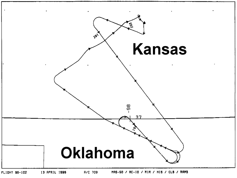
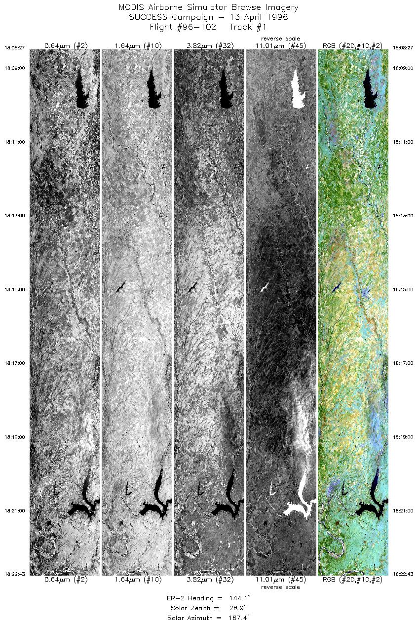
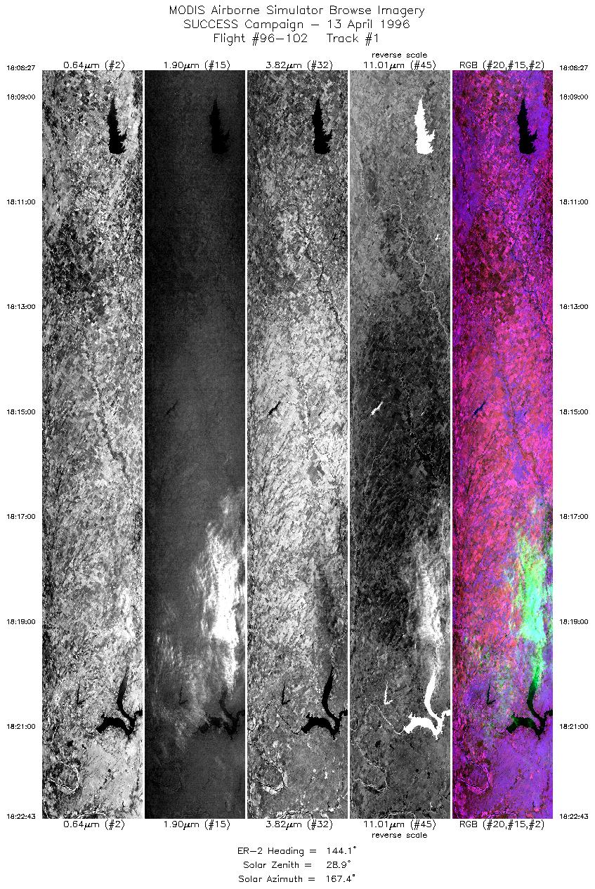
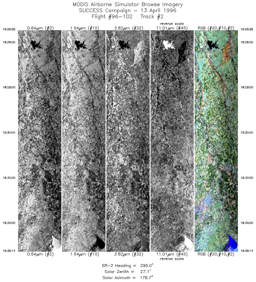
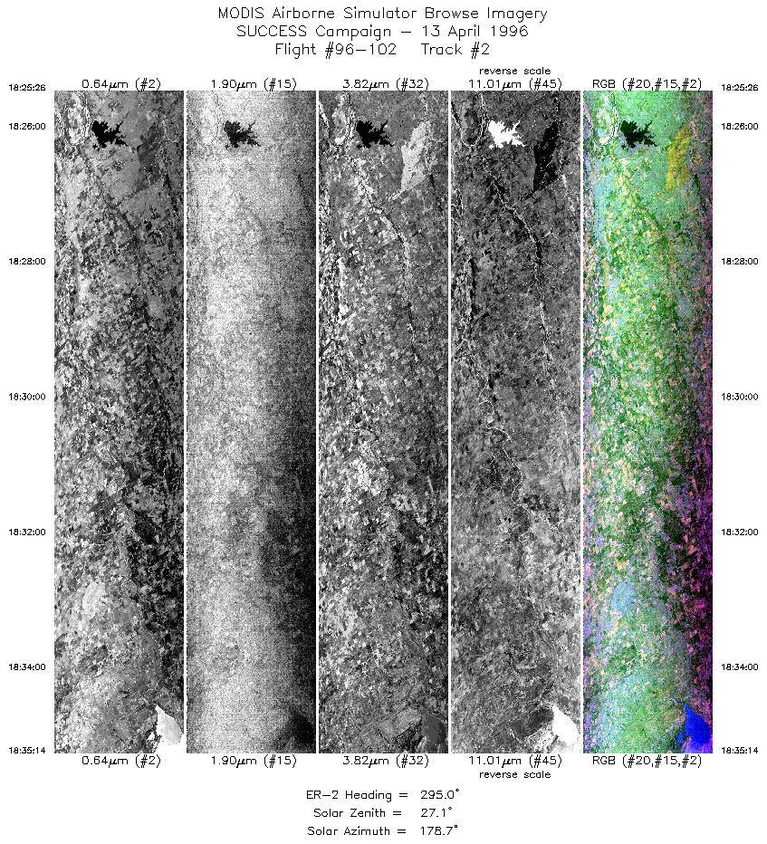
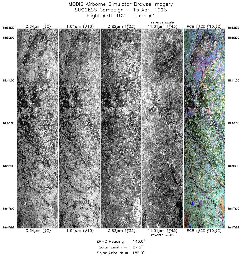
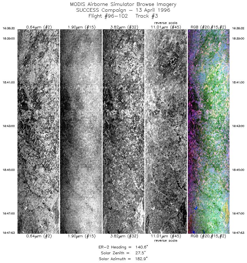
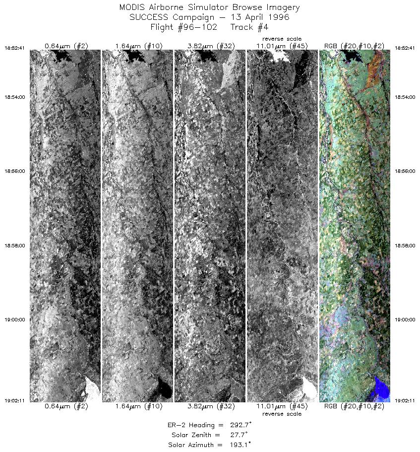
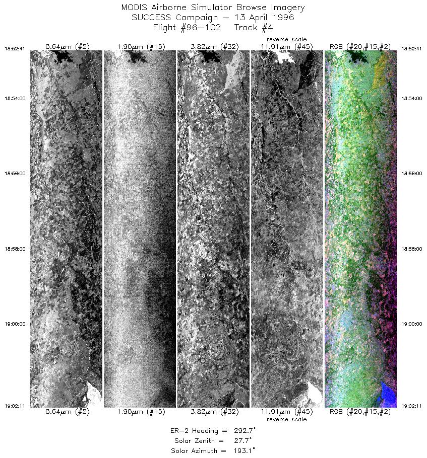
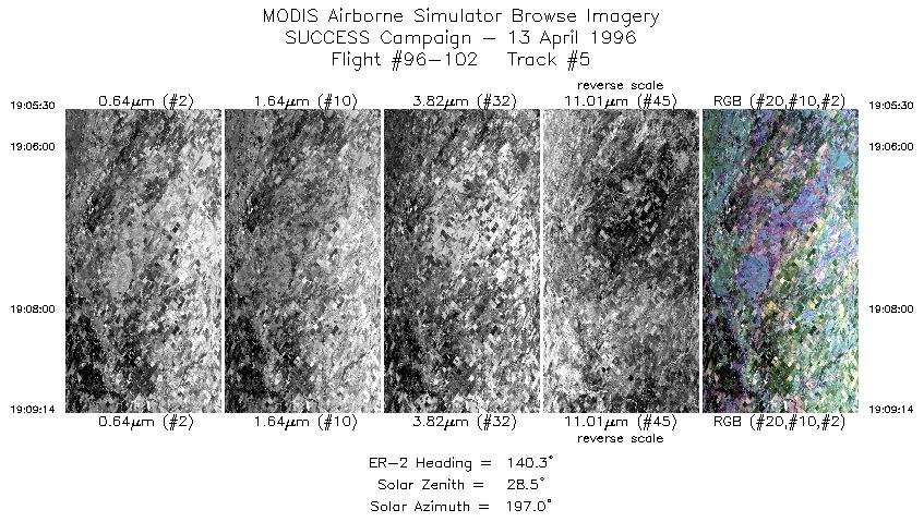
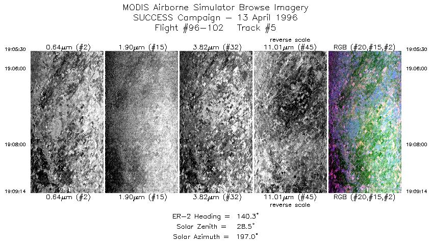
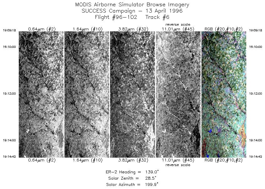
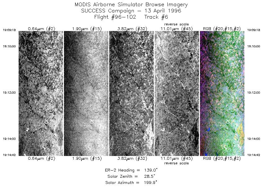
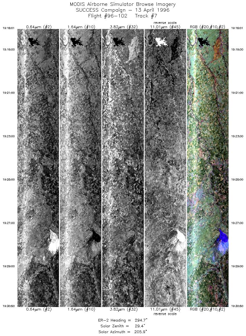
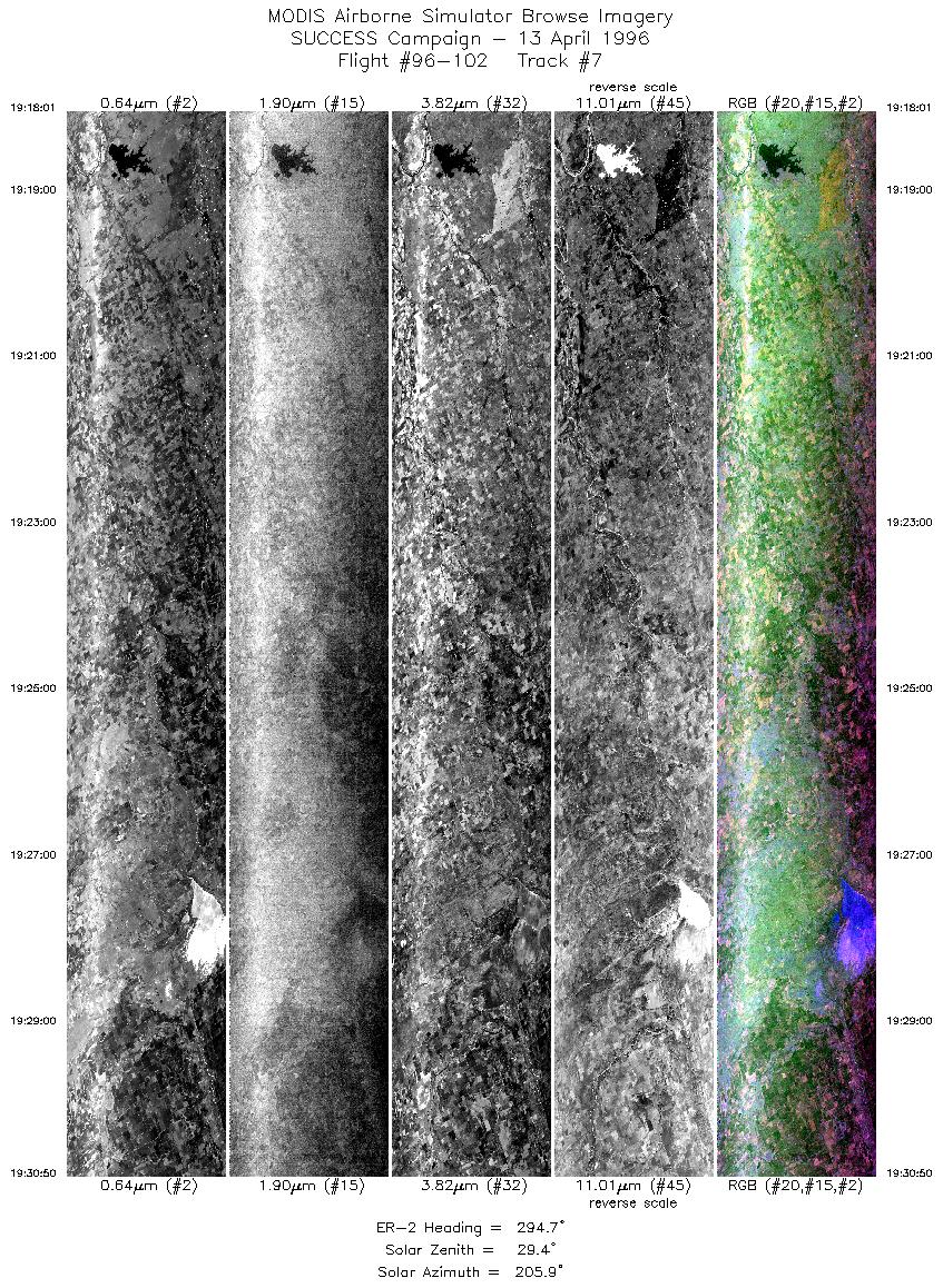
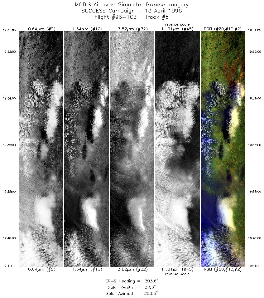
SUCCESS Campaign
Flight #96-102

Sample Image
click image!
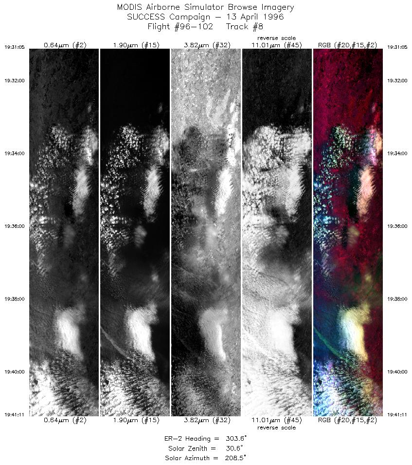
13 April 1996
Track #08


"Developing Convection over central Kansas"

R: 2.15 microns
G: 1.64 microns
B: 0.65 microns
Summary Information
Date: April 13, 1996
ER-2 Flight Number: 96-102
Location: Oklahoma CART Site, Kansas
Principle Investigator: Dr. Brian Toon (NASA Ames)
Additional Sensors: B&W_6"_RC-10

Level-1B Processing Information
Level-1B Data Version: #10
Calibration Type: Final
Calibration Version: SUCCESS_Ames 1.0
Temperature Adjustment: No
Status: Final Calibration Done

Flight Track Map

click map!
Level-1B Browse Imagery
Straight Line Flight Tracks: 8
Scanlines Processed: 28026
Solar Azimuth and Zenith Angles
Browse Images
Click on the Flight Track number to load images.
Lat/Lon ranges are for the BEG-END scanline nadir pixels.
Flight
Track
Standard
Image
Cirrus
Image
Time_Span
(GMT)
Heading
(Deg)
Lat_Range
(Deg_N)
Lon_Range
(Deg_W)
Length
(Scanlines)
1 STD CIR 18:08-18:22 144 37.85-36.55 97.99-96.79 5332
2 STD CIR 18:25-18:35 295 36.37-36.85 96.96-98.19 3664
3 STD CIR 18:38-18:47 141 37.01-36.21 98.03-97.14 3496
4 STD CIR 18:52-19:02 293 36.40-36.85 97.03-98.18 3552
5 STD CIR 19:05-19:09 140 37.00-36.68 98.01-97.66 1396
6 STD CIR 19:09-19:14 139 36.67-36.21 97.65-97.15 2019
7 STD CIR 19:18-19:30 295 36.38-36.98 96.97-98.54 4791
8 STD CIR 19:31-19:41 304 36.99-37.64 98.57-99.72 3776
Standard Browse Images 01 through 08 in sequence
Cirrus Detection Browse Images 01 through 08 in sequence

Level-1B HDF Data Distribution Point
NASA GSFC Earth Sciences (GES) Data Center
NASA DAAC's

Additional Information
The objective of this mission was to measure radiation over the ARM CART site and compare the downlooking MAS instrument with surface based uplooking instruments.

Aircraft take-off was 1740 UTC and return time was 2020 UTC. ER-2 flew a figure eight pattern, 2 1/2 times over ARM CART site (36 36.6'N 97 34.8'W) . Horizontal legs were approximately 70 nautical miles long. The north bound leg was 295 degrees (true north), and south bound was 135 degreess. Final northbound leg was extended approximately 120 nautical miles past the ARM site to overpass developing convection.

Around 1800 UTC, convective cells west of Witchita were seen on radar. Clear sky conditions useful for ARM science objectives, were noted by the pilot over the ARM CART site. Overflight of convective cloud deck on return leg. Five passes over the ARM site (approximately 1830, 1843; 1857, 1910 and 1923 UTC).


Back to: [SUCCESS Campaign]

Another SUCCESS Flight?
#96-100 #96-101 #96-102 #96-103 #96-104 #96-105
#96-106 #96-107 #96-108 #96-109 #96-110 #96-111
#96-112 #96-113 #96-114 #96-115 #96-116 #96-117
Accessibility