


MODIS Airborne Simulator (MAS)
CAMPAIGN SUMMARY INFORMATION
|
ARM Enhanced Shortwave Experiment Dates: 25 September - 23 October 1995 Location: OK, NM, AR, TX, Gulf Coast Principal Investigators: Valero (Scripps) Objective: Investigate the absorption of solar radiation by clouds, aerosols, and atmospheric gases. |
||||||||||||||||||||||||||||||||||||
|
Processing Information Flights Processed: 15 of 15 Total Flight Tracks: 388 Total Scanlines: 1344812 Level-1B Version: #09 Calibration Type: Final Calibration Version: ARESE 1.0 Temperature Adjustment: 35C Status: Level-1B Data in HDF format is available. |
||||||||||||||||||||||||||||||||||||
|
Spectral Information Spectral Band Configuration Spectral Response Function Table | ||||||||||||||||||||||||||||||||||||
|
Level-1B Data Distribution NASA LaRC Atmospheric Sciences Data Center Level 1 / Atmosphere Archive and Distribution System (LAADS) NASA Distributive Active Archive Centers (DAACs) |
||||||||||||||||||||||||||||||||||||
|
||||||||||||||||||||||||||||||||||||
|
Related Web Sites Official ARESE Home Page NASA Airborne Science Program |
||||||||||||||||||||||||||||||||||||
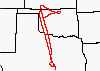 Flight: 95-175
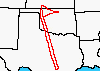 Flight: 95-176
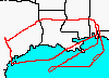 Flight: 95-198
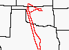 Flight: 95-199
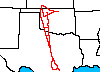 Flight: 95-197
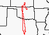 Flight: 96-001
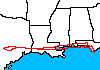 Flight: 96-002
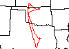 Flight: 96-003
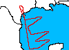 Flight: 96-004
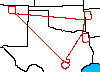 Flight: 96-006
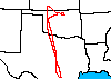 Flight: 96-007
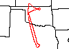 Flight: 96-008
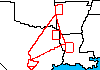 Flight: 96-009
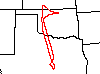 Flight: 96-010
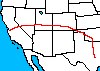 Flight: 96-020
ARESE


| Sample Imagery |
| Click image for full resolution |
|
Flight: 96-002, Track #03 New Orleans, LA |


|
|
R: 0.74µm G: 0.65µm B: 0.55µm |
- NASA Official: Matt Fladeland
- Project Manager: James Jacobson
- Website Editor: Eric Fraim
- Last Updated: March 21, 2024


