
|
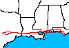
Sample Image

06 Oct 1995
Track #02


|
|
Mission Summary
Date: October 06, 1995
ER-2 Flight Number: 96-002
Flight Location: Hurricane Opal Assessment
Principal Investigator: Dr. Larry Handley (USGS)
Additional Sensors: VIS, 24" HR732 (CIR)
Objective: Post-storm assessment of damage to coastal wetland ecosystems resulting from Hurricane Opal.
Level-1B Processing Information
Level-1B Data processed by: Ames Research Center
Level-1B Data Version: #09
Level-1B Configuration: (sample file)
Calibration Type: Final
Calibration Version: ARESE 1.0
Temperature Adjustment: 35C
Status: Completed with final calibration
|
|
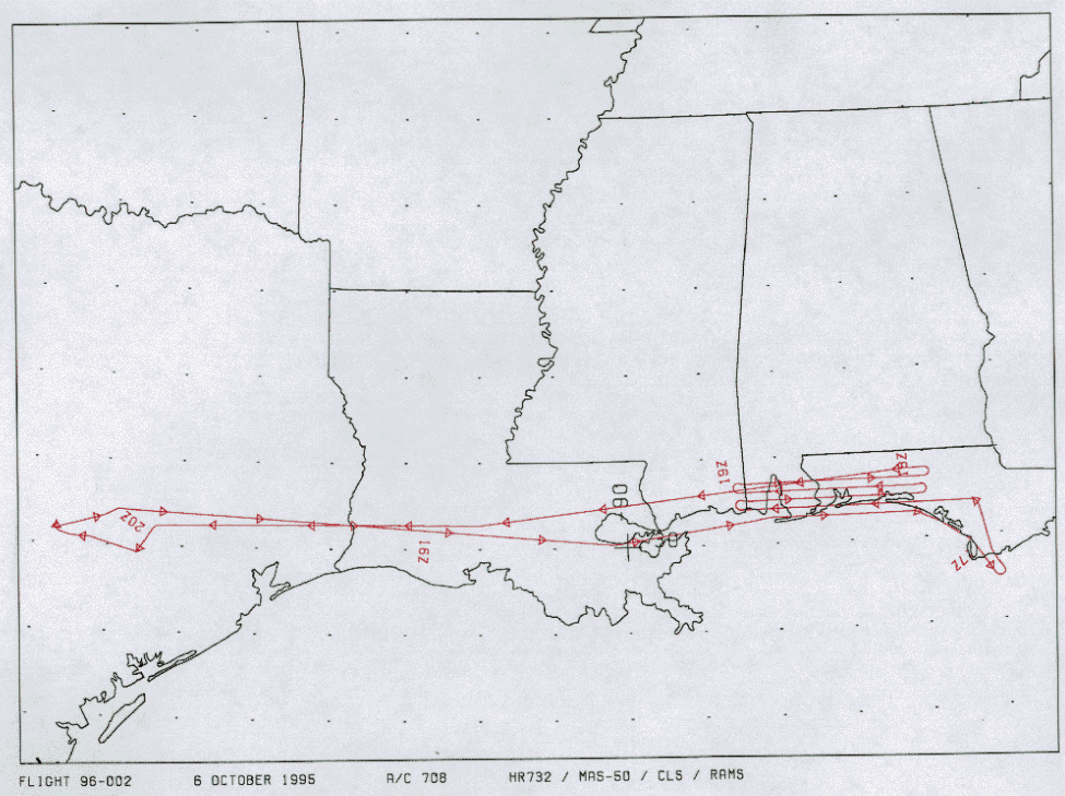
Flight Track Map

|
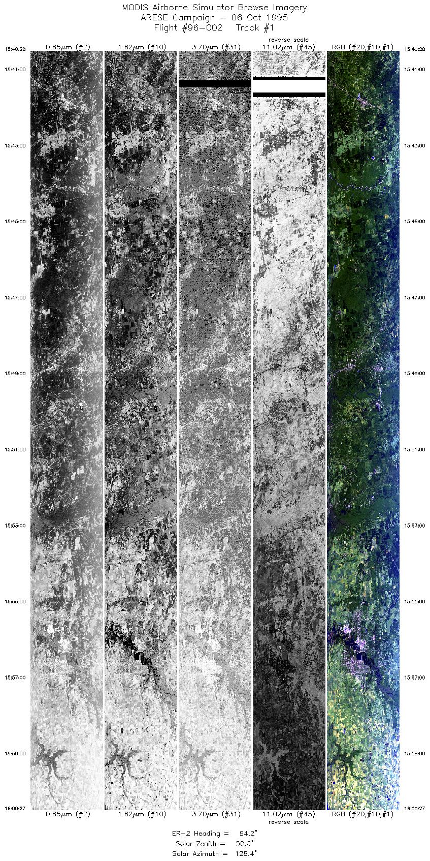
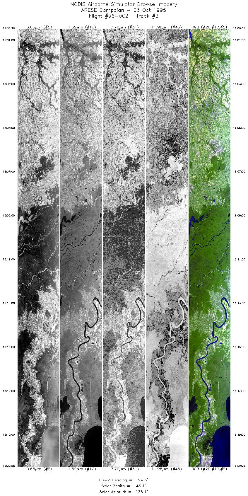
Level-1B Browse Imagery
Straight Line Flight Tracks: 20
Scanlines Processed: 86326
Solar Azimuth and Zenith Angles
|
Browse Images
|
Click on the Flight Track number to load images.
Lat/Lon ranges are for the BEG-END scanline nadir pixels.
|
Flight
Track |
Time_Span
(GMT) |
Heading
(Deg) |
Lat_Range
(Deg_N) |
Lon_Range
(Deg_W) |
Length
(Scanlines) |
Altitude
(Meters) |
| 1 |
15:40-16:00 |
94 |
30.36-30.22 |
95.25-92.72 |
7470 |
~20000 |
| 2 |
16:00-16:20 |
95 |
30.22-30.04 |
92.71-90.21 |
7467 |
~20000 |
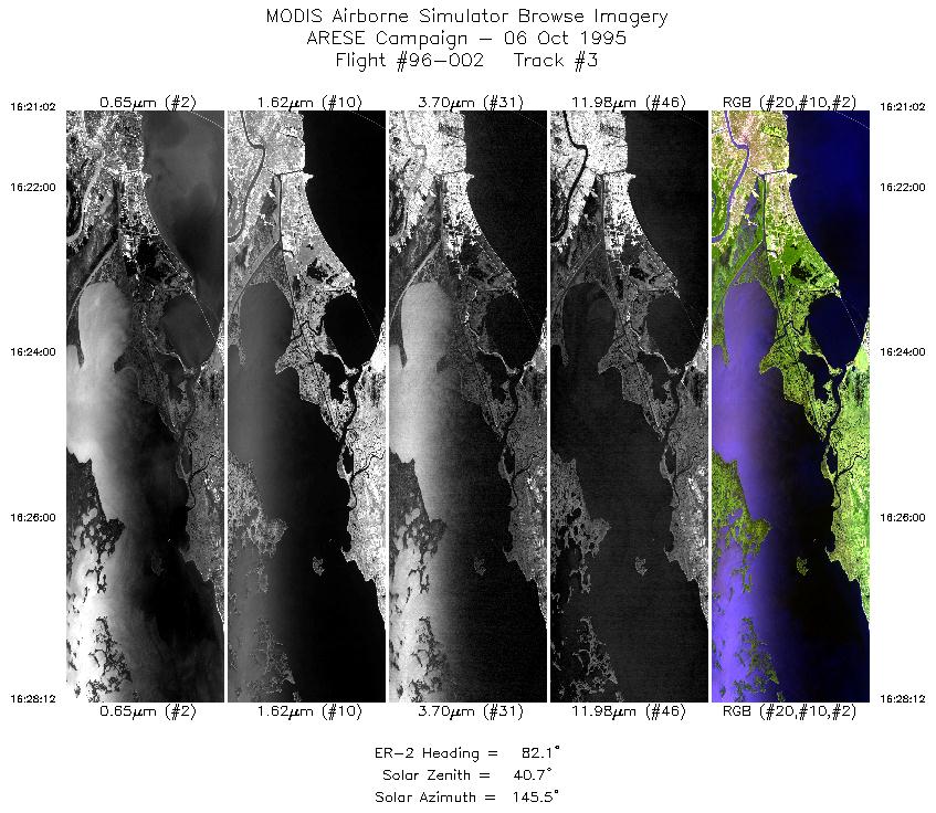
| 3 |
16:21-16:28 |
82 |
30.04-30.15 |
90.13-89.22 |
2684 |
~20000 |
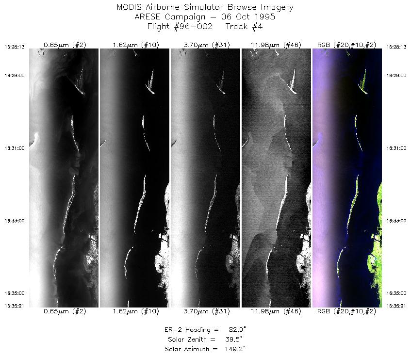
| 4 |
16:28-16:35 |
83 |
30.15-30.26 |
89.22-88.31 |
2671 |
~20000 |
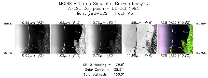
| 5 |
16:35-16:37 |
78 |
30.27-30.30 |
88.29-88.09 |
599 |
~20000 |
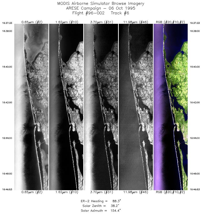
| 6 |
16:37-16:46 |
88 |
30.30-30.30 |
88.04-86.85 |
3497 |
~20000 |
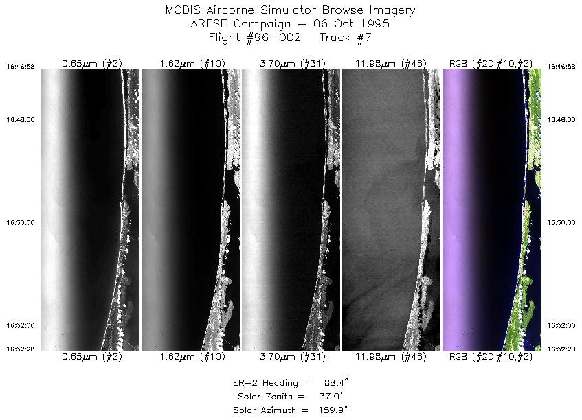
| 7 |
16:46-16:52 |
88 |
30.30-30.30 |
86.83-86.14 |
2061 |
~20000 |
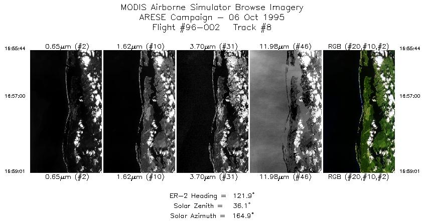
| 8 |
16:55-16:59 |
122 |
30.15-29.95 |
85.77-85.43 |
1229 |
~20000 |
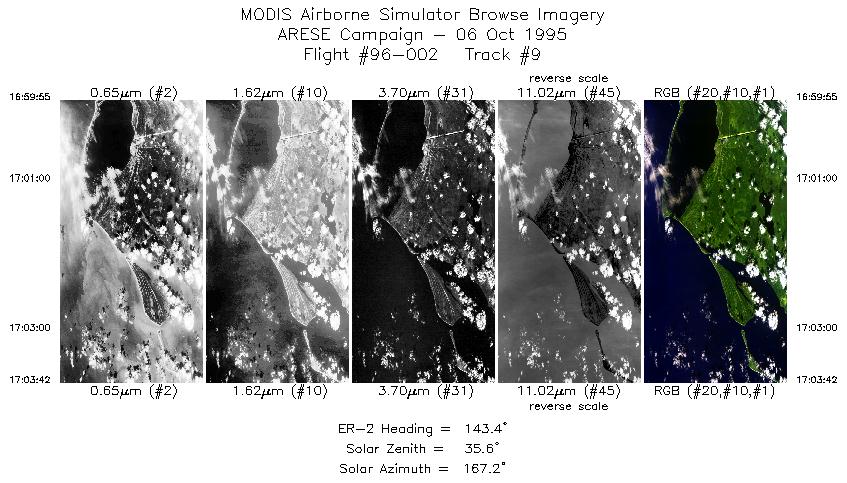
| 9 |
16:59-17:03 |
143 |
29.88-29.54 |
85.35-85.09 |
1417 |
~20000 |
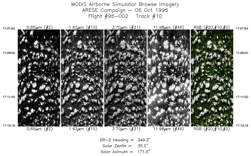
| 10 |
17:07-17:12 |
349 |
29.83-30.31 |
85.13-85.25 |
1648 |
~20000 |
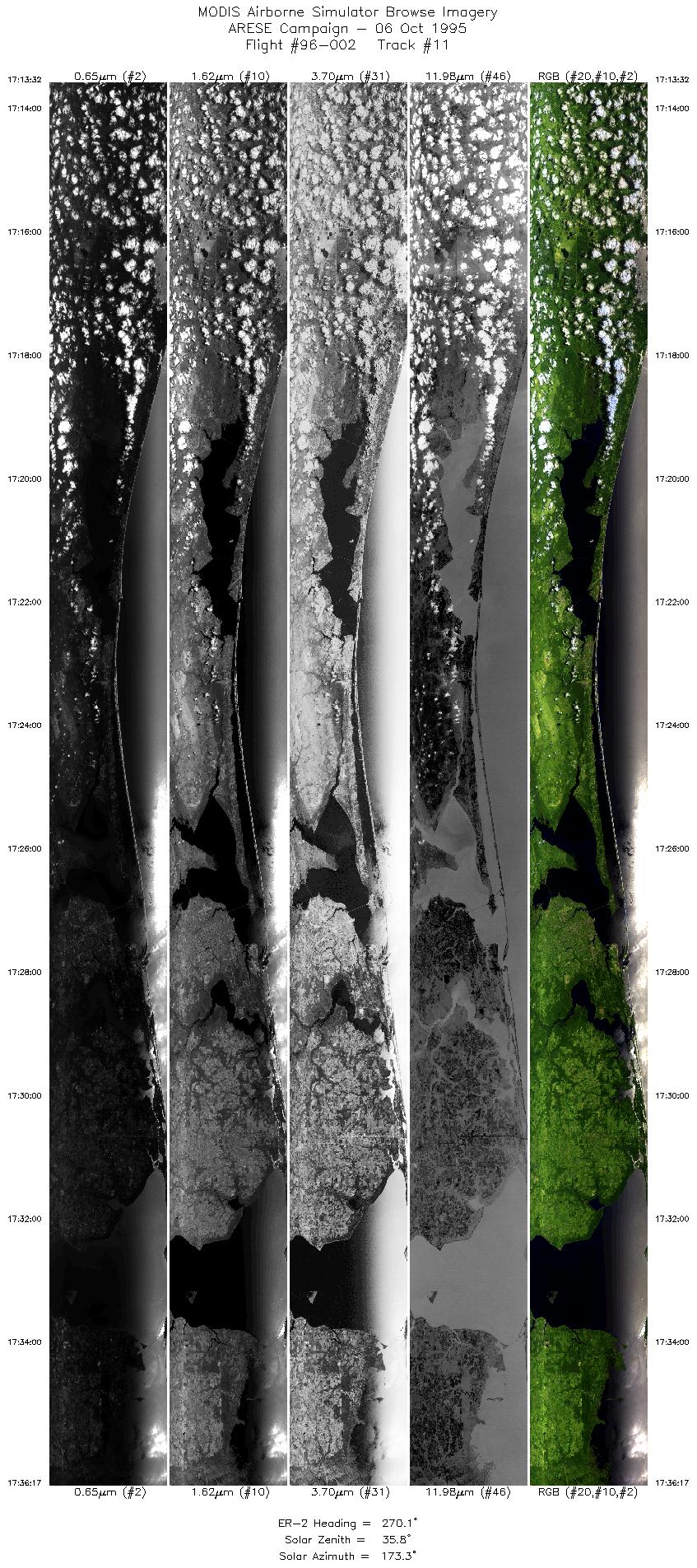
| 11 |
17:13-17:36 |
270 |
30.41-30.41 |
85.37-88.45 |
8522 |
~20000 |
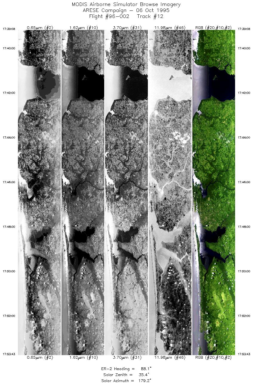
| 12 |
17:39-17:53 |
88 |
30.50-30.51 |
88.31-86.46 |
5441 |
~20000 |
| 13 |
17:53-17:57 |
90 |
30.51-30.50 |
86.46-86.03 |
1267 |
~20000 |
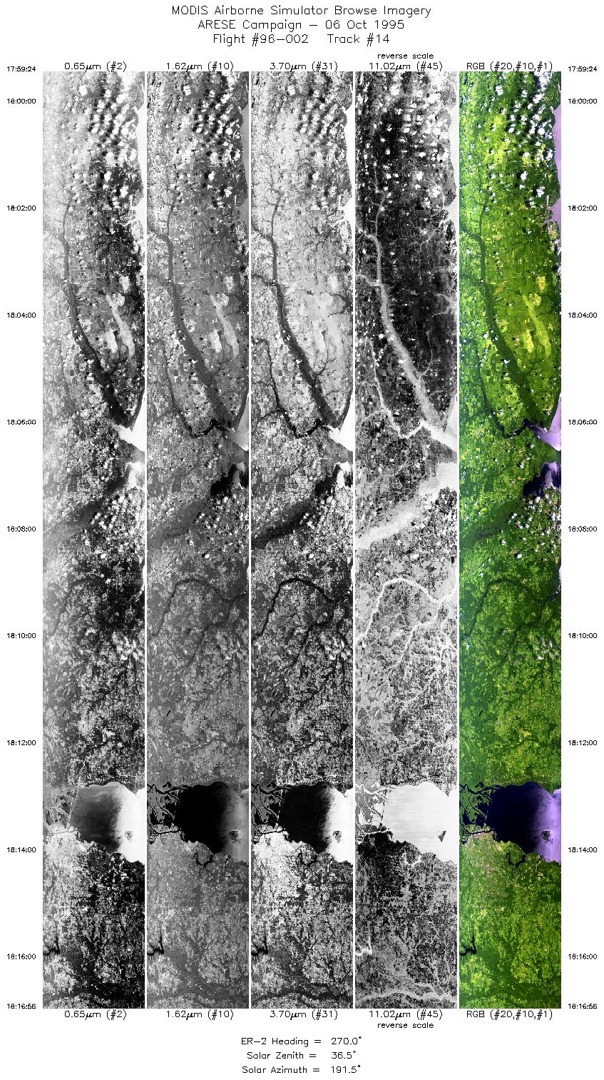
| 14 |
17:59-18:16 |
270 |
30.61-30.60 |
86.10-88.48 |
6569 |
~20000 |
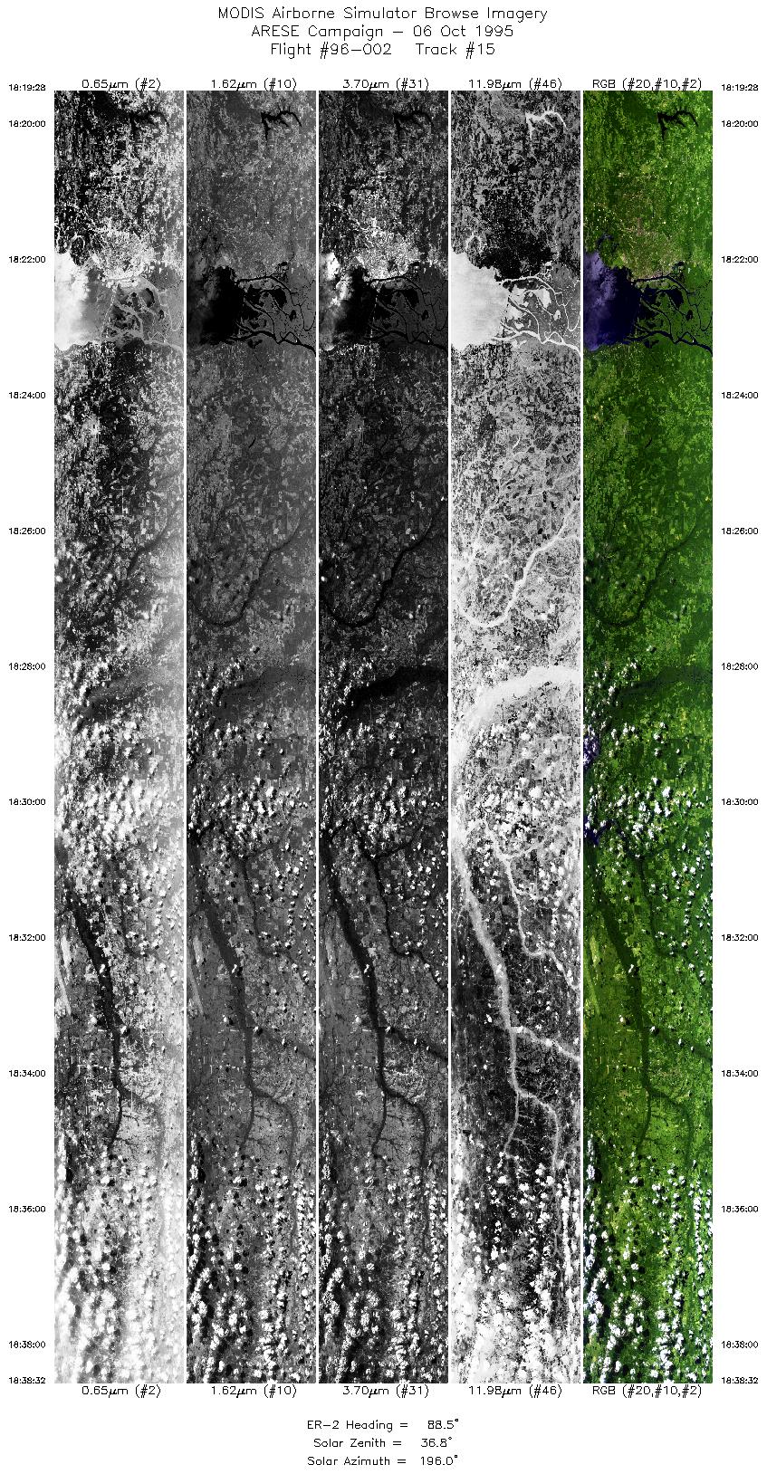
| 15 |
18:19-18:38 |
89 |
30.70-30.71 |
88.39-85.99 |
7142 |
~20000 |
| 16 |
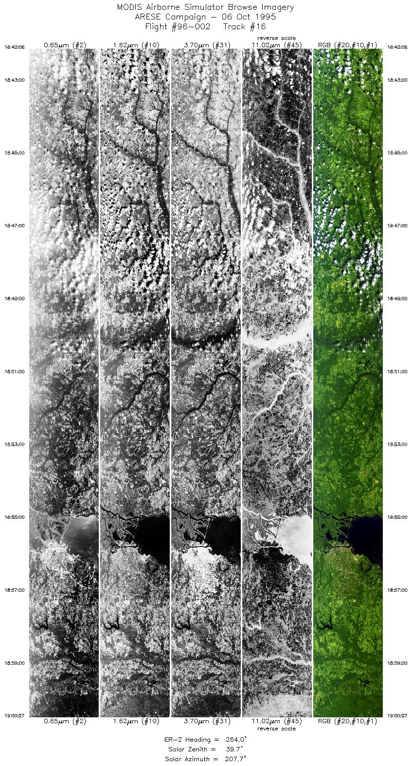
18:42-19:00 |
264 |
30.81-30.62 |
86.23-88.65 |
6874 |
~20000 |
| 17 |
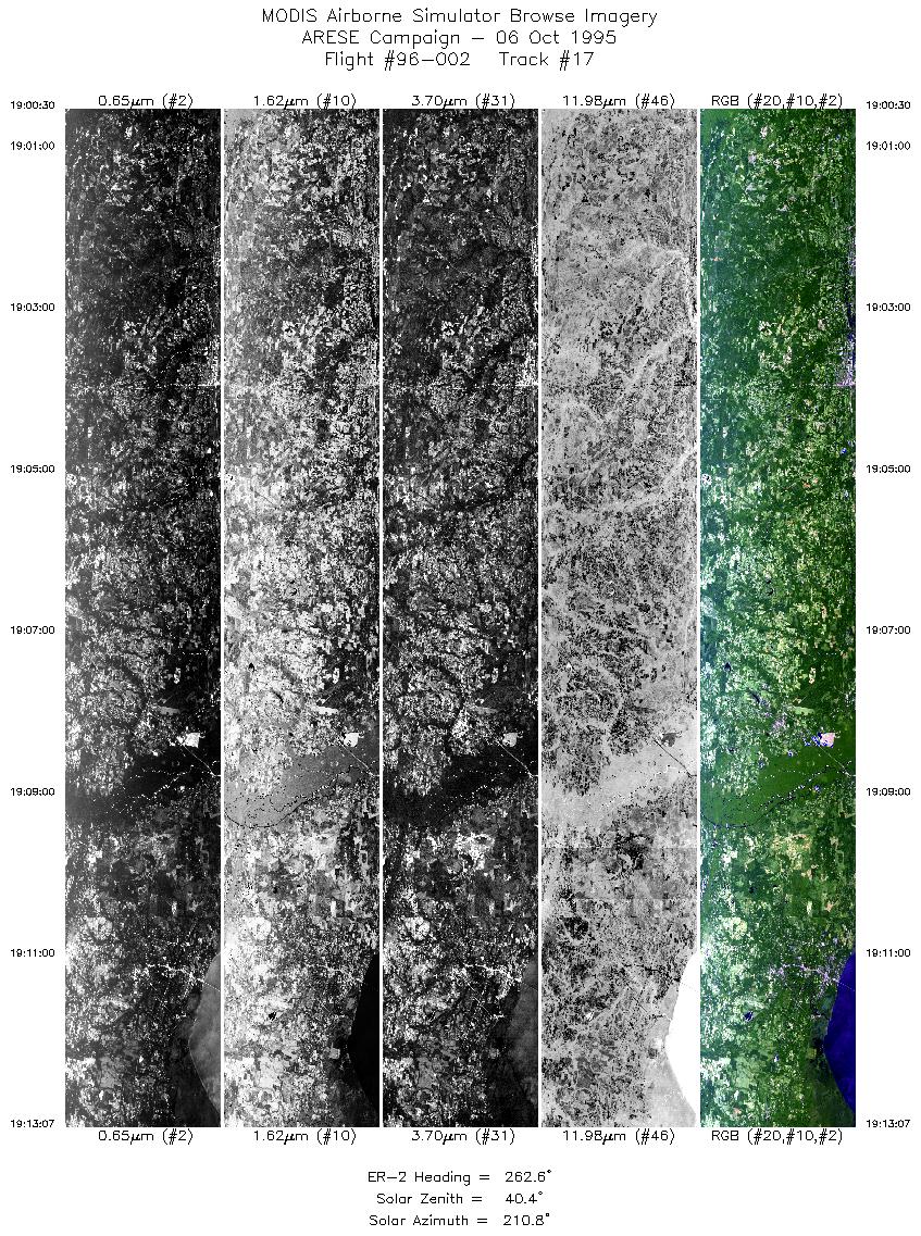
19:00-19:13 |
263 |
30.61-30.45 |
88.67-90.35 |
4689 |
~20000 |
| 18 |
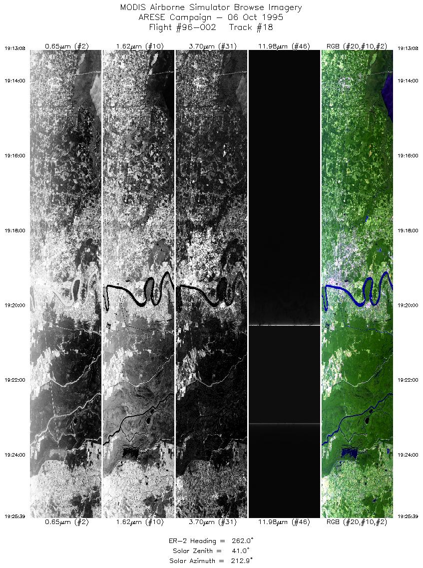
19:13-19:25 |
262 |
30.45-30.28 |
90.35-91.98 |
4689 |
~20000 |
| 19 |
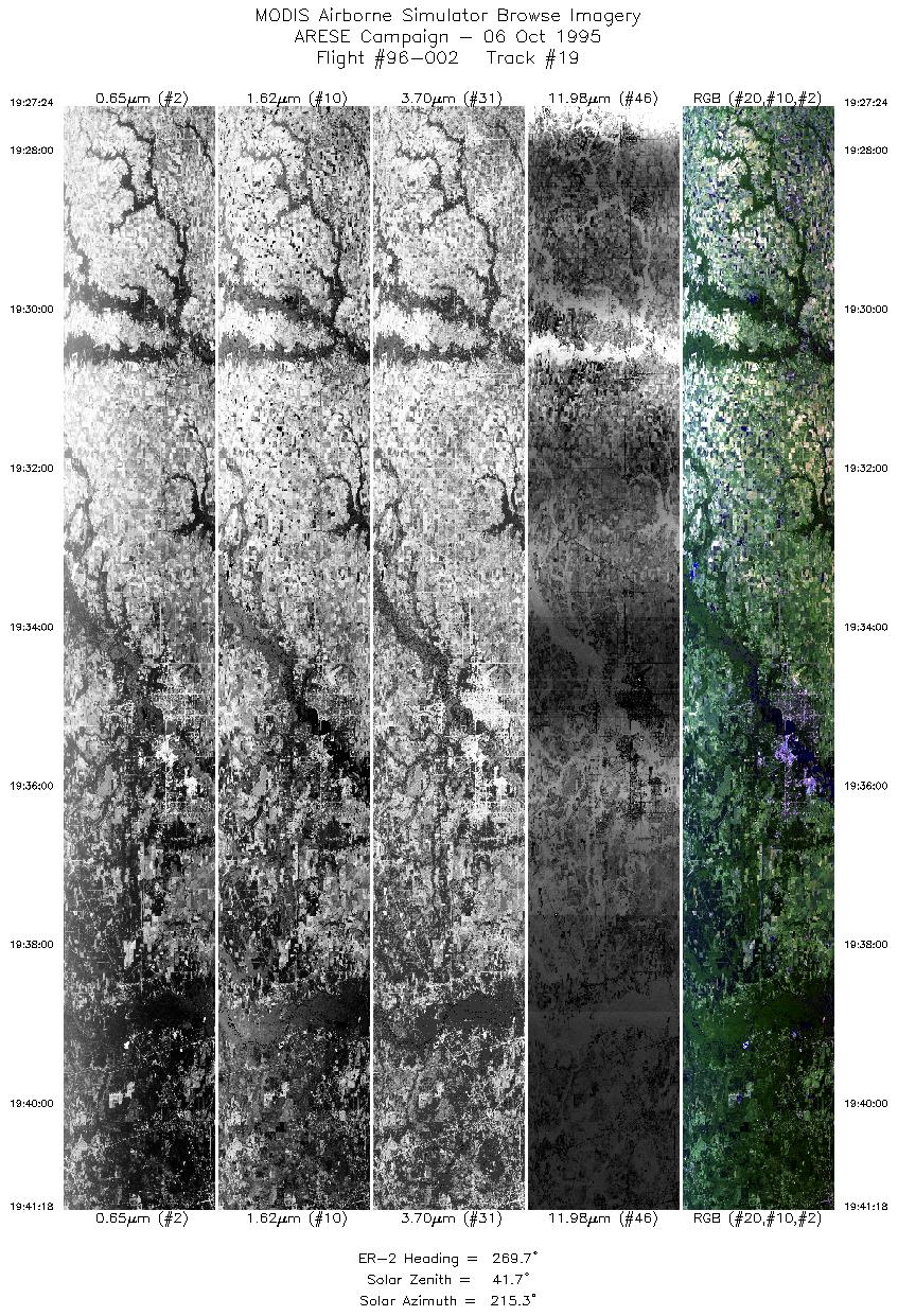
19:27-19:41 |
270 |
30.28-30.28 |
92.21-94.03 |
5207 |
~20000 |
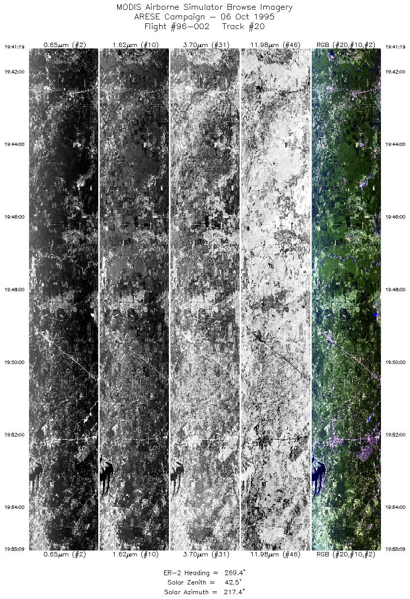
| 20 |
19:41-19:55 |
269 |
30.28-30.25 |
94.03-95.86 |
5183 |
~20000 |
|
Images 01 through 20 in sequence |
Level-1B Data Distribution
NASA LaRC Atmospheric Sciences Data Center
Sample Image
The flightline image to the left begins over Lake Arthur in Jefferson Davis Parish, Louisana. Proceeds easterly over Lafayette and into the Atchafalaya Basin Floodway. Ends following the Mississippi River as it flows by Lac Des Allemands (left side of image), and Lake Maurepas and Lake Pontchartrain (right side of image).
R: 2.14 microns
G: 1.62 microns
B: 0.55 microns
|
|
