
|
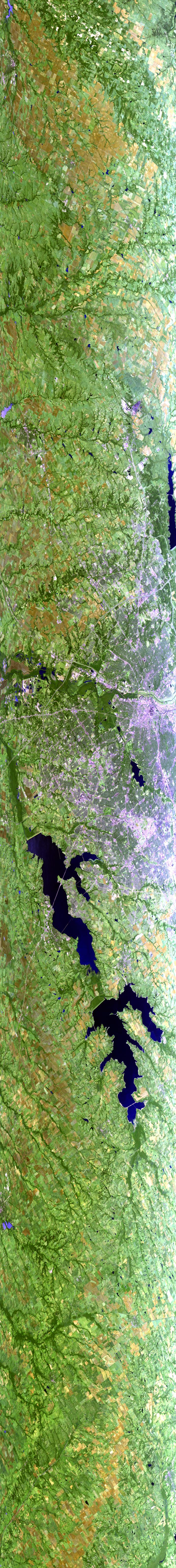
Sample Image

21 Oct 1995
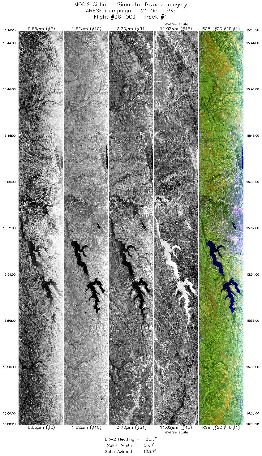
Track #01
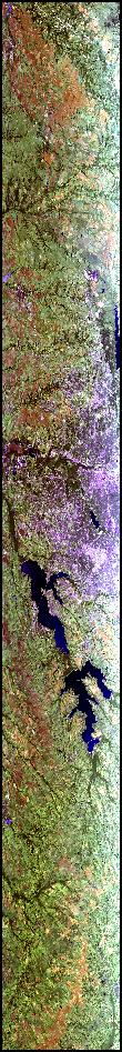

The flightline iamge to the left begins southwest of Dallas, Texas. Proceeds northeas t over Dallas, with the waters of Lake Ray Hubbard and Lavon Lake in clear view.
R: 2.14 microns
G: 1.62 microns
B: 0.55 microns
|
|
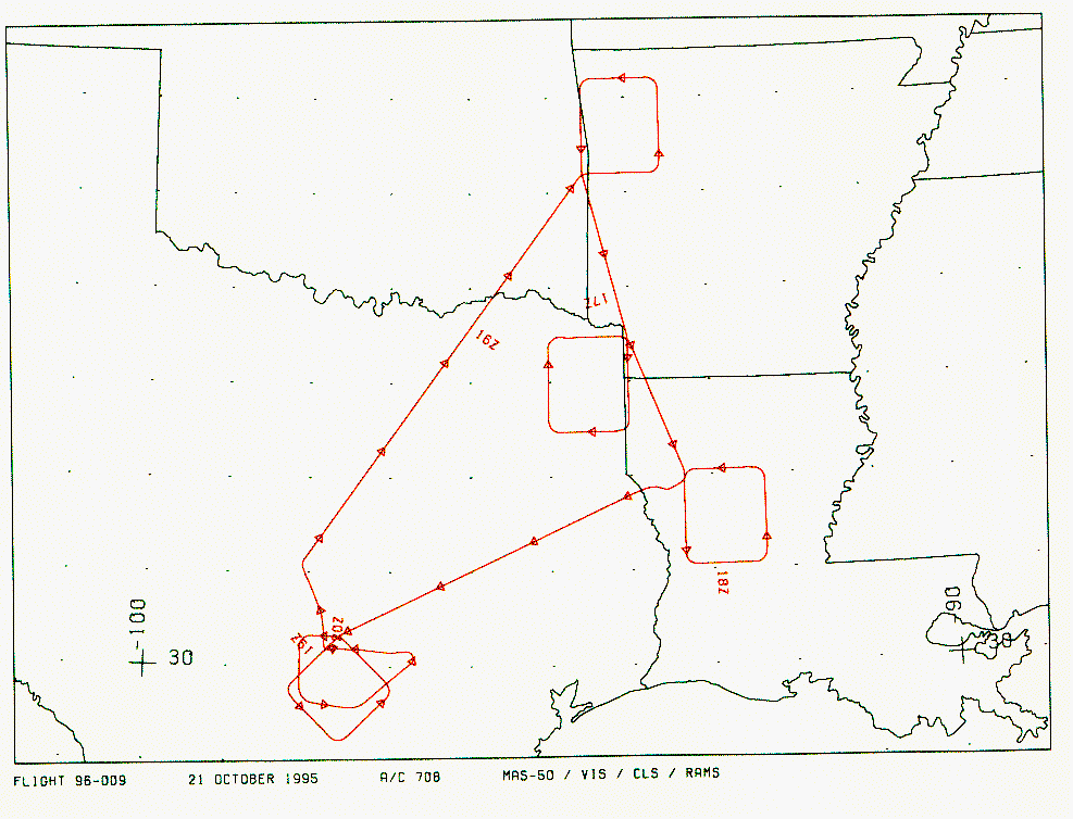
Mission Summary
Date: October 21, 1995
ER-2 Flight Number: 96-009
Flight Location: New Mexico, Arkansas, Texas
Principal Investigator: Dr. Francisco Valero (Scripps)
Additional Sensors: RAMS, CLS, VIS
Objective: Investigate the absorption of solar radiation by clouds, aerosols, and atmospheric gases.
Level-1B Processing Information
Level-1B Data processed by: Ames Research Center
Level-1B Data Version: #09
Level-1B Configuration: (sample file)
Calibration Type: Final
Calibration Version: ARESE 1.0
Temperature Adjustment: 35C
Status: Completed with final calibration
|
|
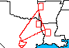
Flight Track Map

|
Level-1B Browse Imagery
Straight Line Flight Tracks: 25
Scanlines Processed: 71761
Solar Azimuth and Zenith Angles
|
Browse Images
|
Click on the Flight Track number to load images.
Lat/Lon ranges are for the BEG-END scanline nadir pixels.
|
Flight
Track |
Time_Span
(GMT) |
Heading
(Deg) |
Lat_Range
(Deg_N) |
Lon_Range
(Deg_W) |
Length
(Scanlines) |
Altitude
(Meters) |
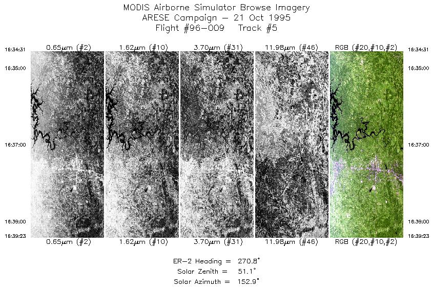
| 1 |
15:43-16:00 |
33 |
32.01-33.59 |
97.32-95.97 |
6370 |
~20000 |
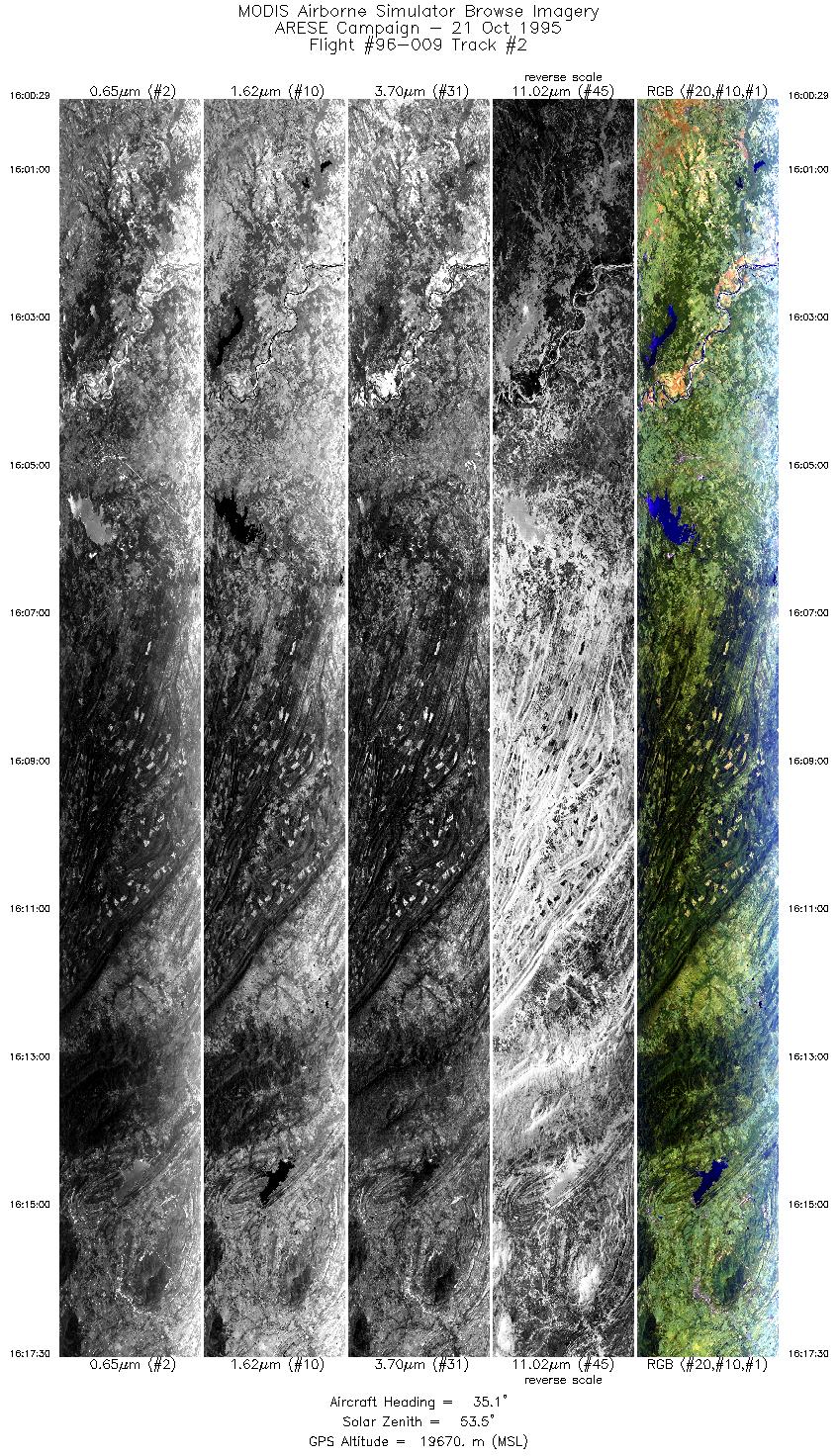
| 2 |
16:00-16:17 |
35 |
33.60-35.15 |
95.97-94.58 |
6363 |
~20000 |
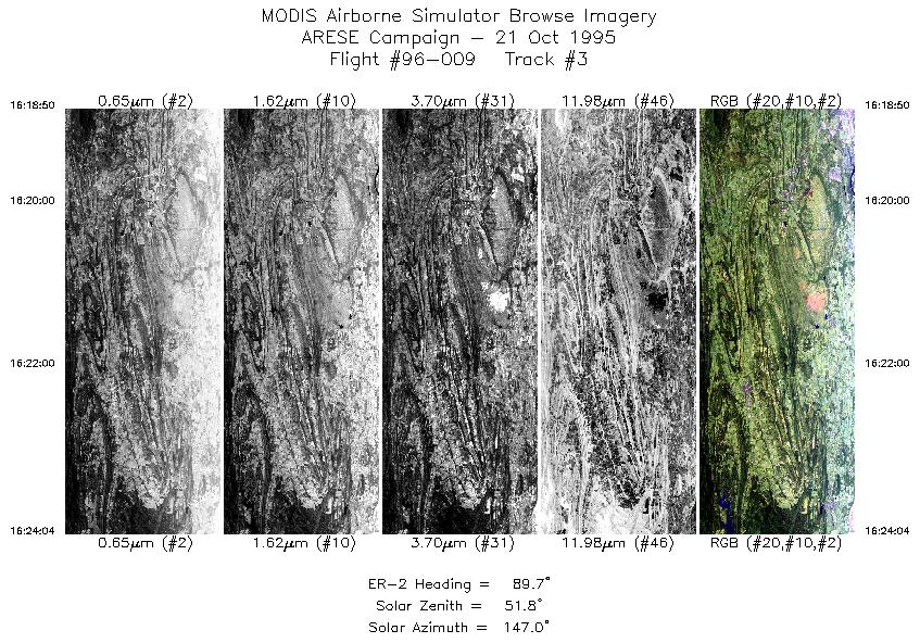
| 3 |
16:18-16:24 |
90 |
35.20-35.20 |
94.41-93.68 |
1961 |
~20000 |
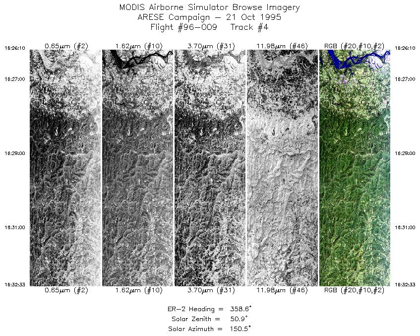
| 4 |
16:26-16:32 |
359 |
35.37-36.08 |
93.53-93.53 |
2382 |
~20000 |
| 5 |
16:34-16:39 |
271 |
36.20-36.20 |
93.71-94.38 |
1823 |
~20000 |
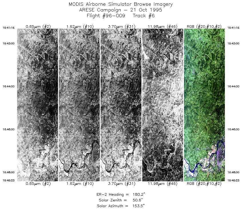
| 6 |
16:41-16:48 |
180 |
36.05-35.24 |
94.53-94.53 |
2666 |
~20000 |
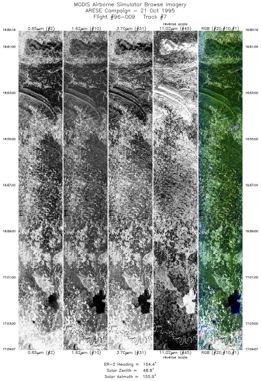
| 7 |
16:50-17:04 |
164 |
35.02-33.50 |
94.47-94.01 |
5189 |
~20000 |
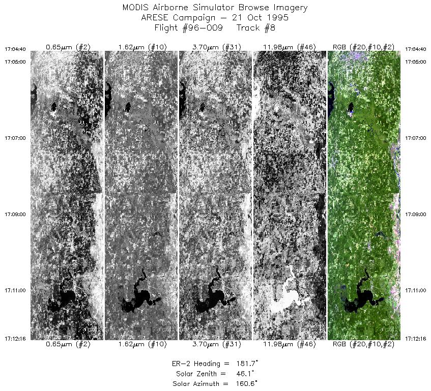
| 8 |
17:04-17:12 |
182 |
33.44-32.59 |
94.00-94.00 |
2848 |
~20000 |
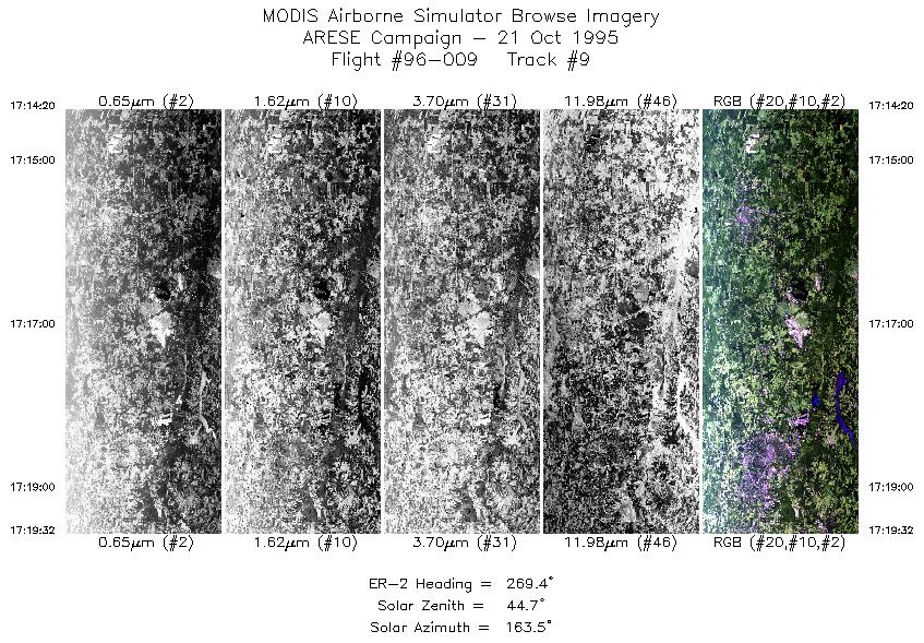
| 9 |
17:14-17:19 |
269 |
32.47-32.47 |
94.19-94.86 |
1948 |
~20000 |
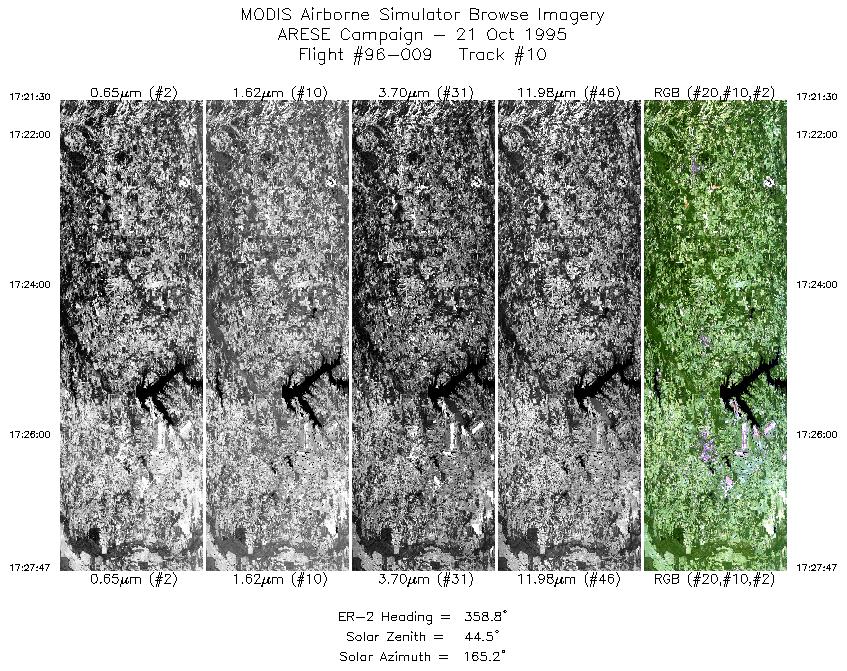
| 10 |
17:21-17:27 |
359 |
32.62-33.35 |
95.00-95.00 |
2355 |
~20000 |
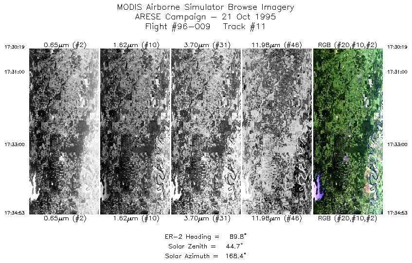
| 11 |
17:30-17:34 |
90 |
33.47-33.47 |
94.74-94.11 |
1712 |
~20000 |
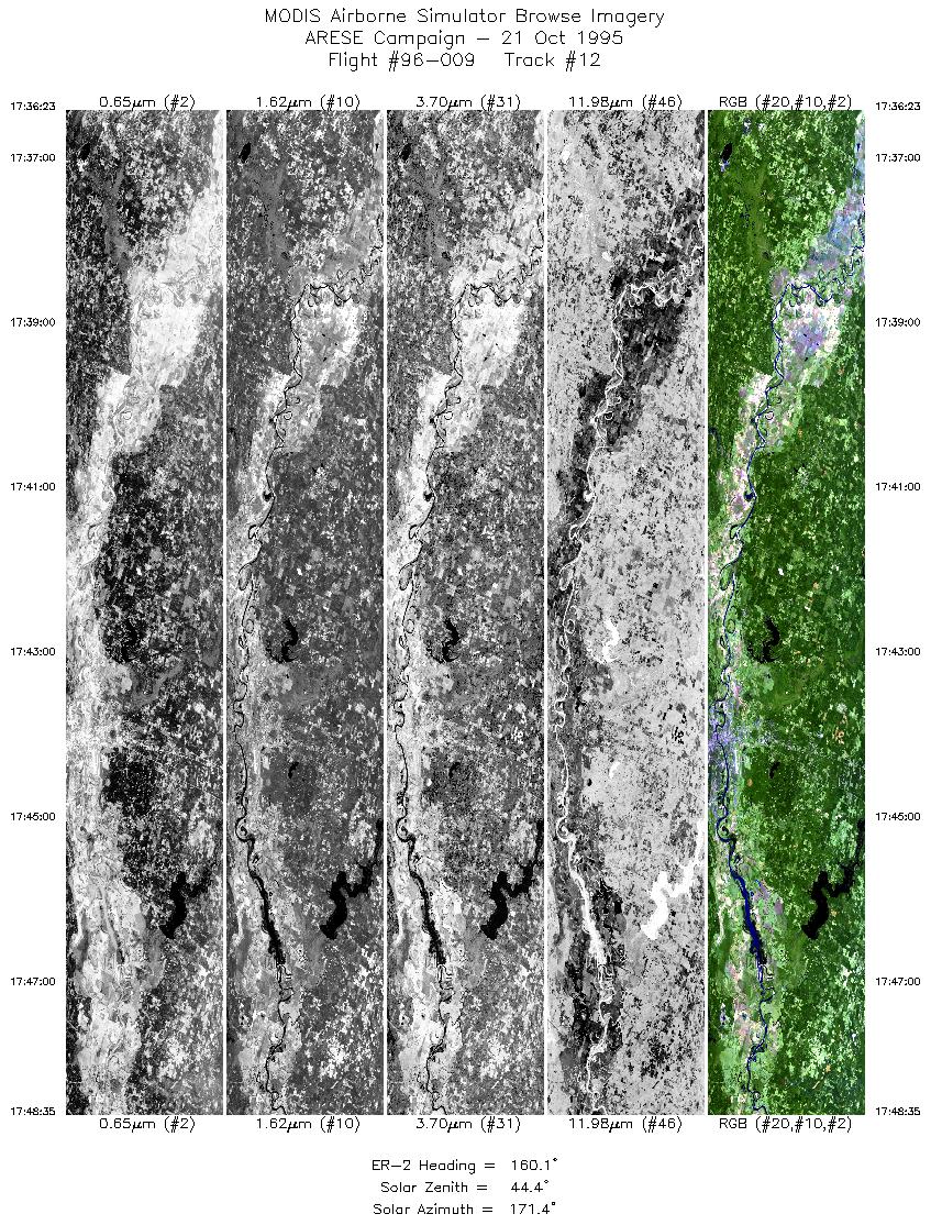
| 12 |
17:36-17:48 |
160 |
33.38-32.08 |
93.95-93.35 |
4570 |
~20000 |
| 13 |
17:49-17:56 |
182 |
32.00-31.17 |
93.33-93.33 |
2730 |
~20000 |
| 14 |
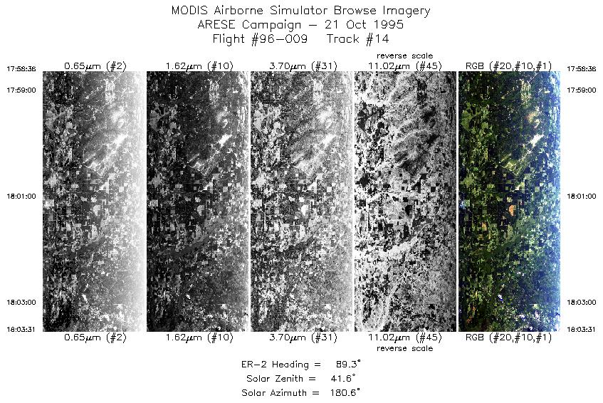
17:58-18:03 |
89 |
31.05-31.05 |
93.14-92.48 |
1832 |
~20000 |
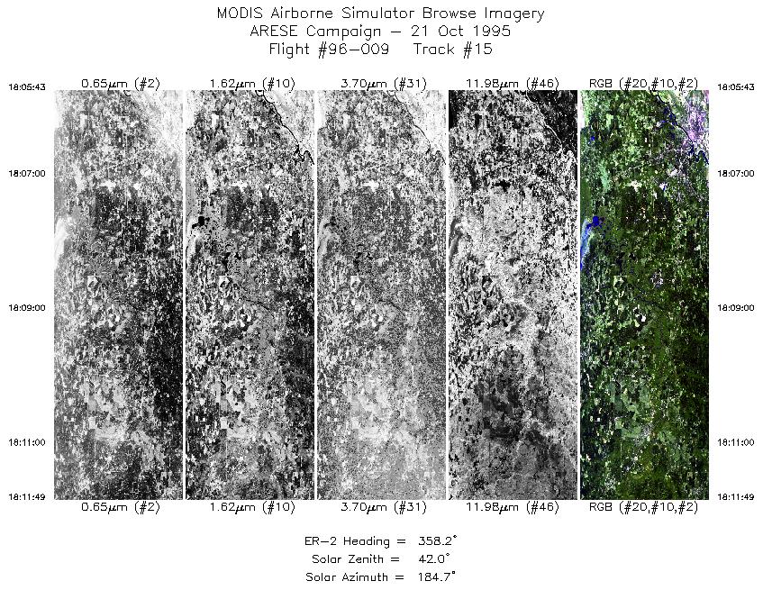
| 15 |
18:05-18:11 |
358 |
31.23-31.93 |
92.33-92.33 |
2276 |
~20000 |
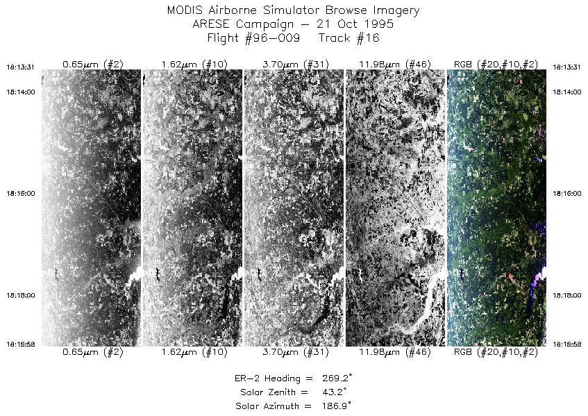
| 16 |
18:13-18:18 |
269 |
32.05-32.05 |
92.47-93.19 |
1999 |
~20000 |
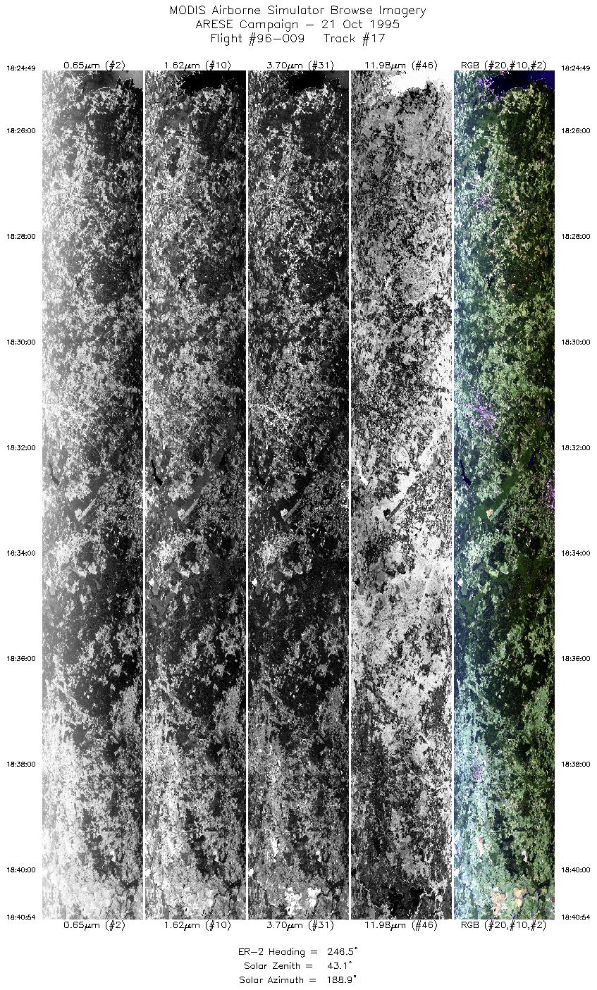
| 17 |
18:24-18:40 |
247 |
31.85-31.11 |
93.86-95.74 |
6025 |
~20000 |
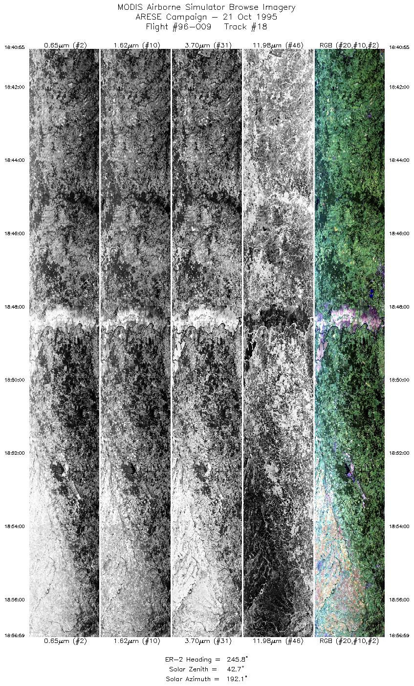
| 18 |
18:40-18:56 |
246 |
31.11-30.35 |
95.74-97.57 |
6019 |
~20000 |
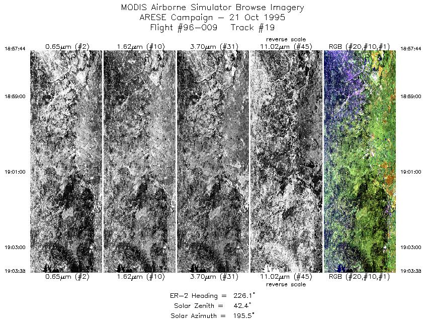
| 19 |
18:57-19:03 |
226 |
30.30-29.83 |
97.64-98.17 |
2211 |
~20000 |
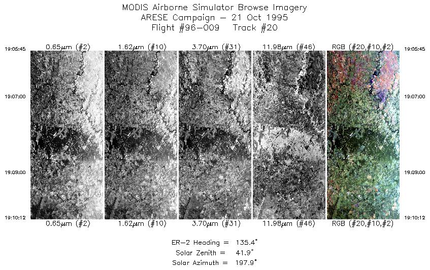
| 20 |
19:05-19:10 |
135 |
29.63-29.26 |
98.13-97.70 |
1667 |
~20000 |
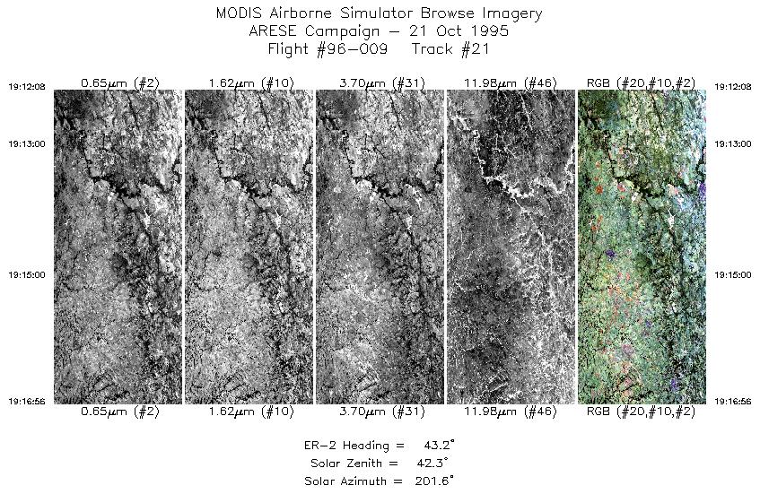
| 21 |
19:12-19:16 |
43 |
29.28-29.67 |
97.48-97.03 |
1757 |
~20000 |
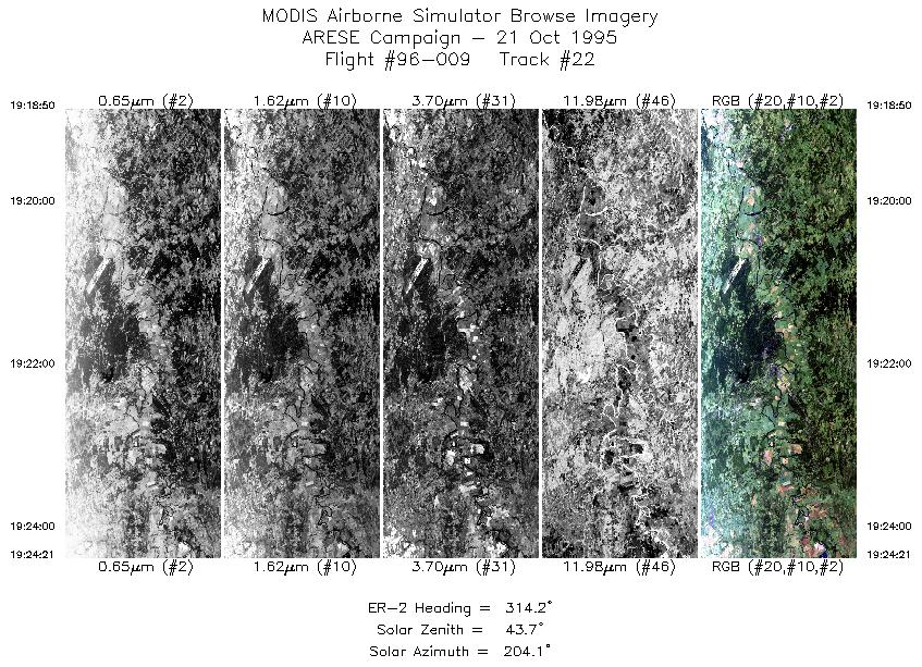
| 22 |
19:18-19:24 |
314 |
29.85-30.28 |
97.04-97.54 |
2068 |
~20000 |
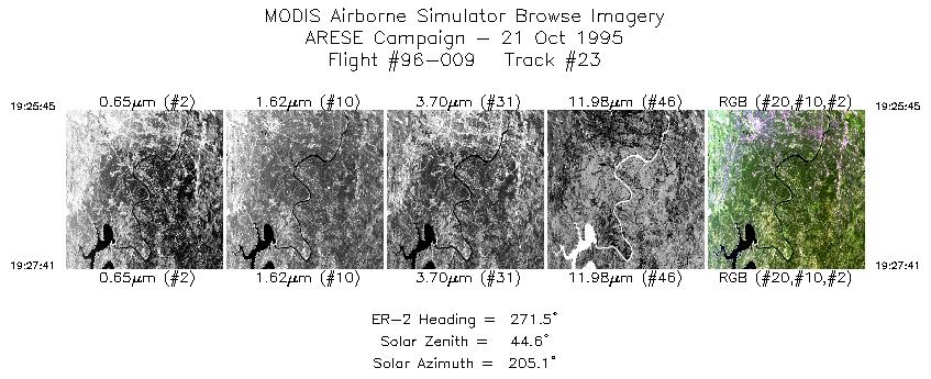
| 23 |
19:25-19:27 |
272 |
30.32-30.33 |
97.70-97.95 |
725 |
~20000 |
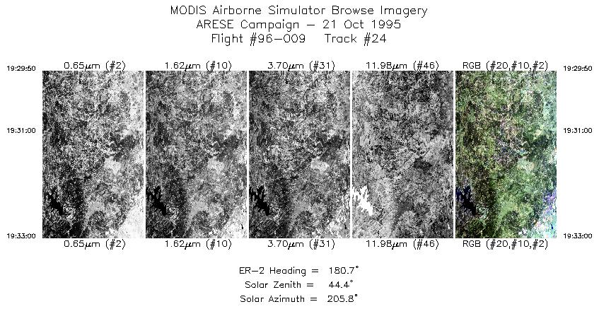
| 24 |
19:29-19:32 |
181 |
30.16-29.80 |
98.09-98.09 |
1185 |
~20000 |
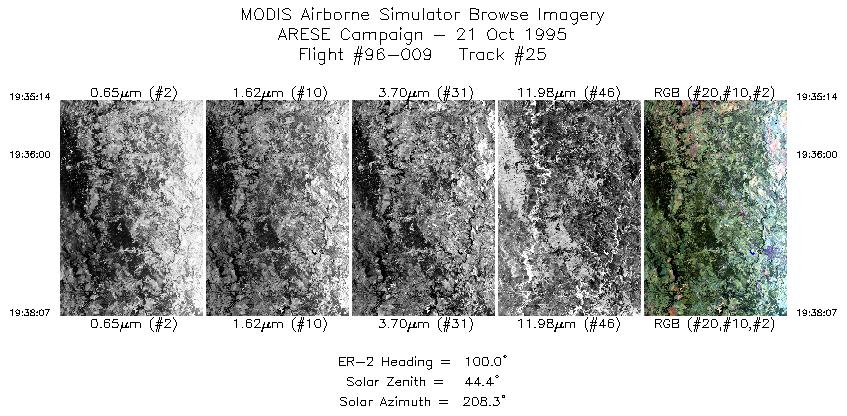
| 25 |
19:35-19:38 |
100 |
29.62-29.57 |
97.93-97.55 |
1080 |
~20000 |
|
Images 01 through 25 in sequence |
Level-1B Data Distribution
NASA LaRC Atmospheric Sciences Data Center
|
|