
|
Sample Image

09 February 1997
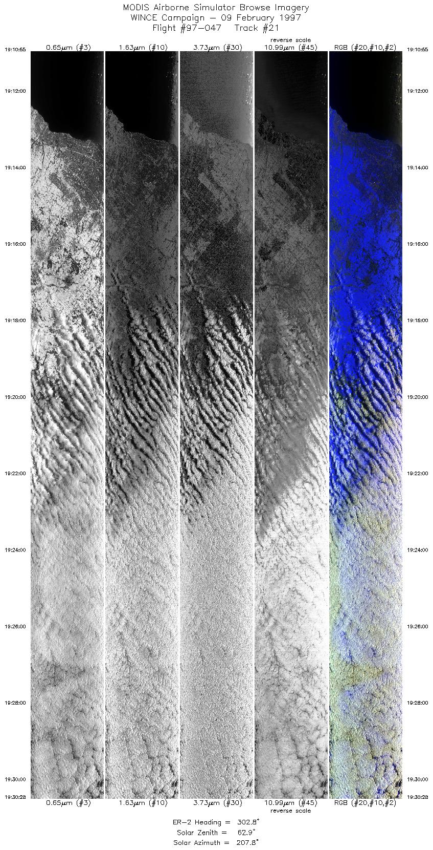
Track 21
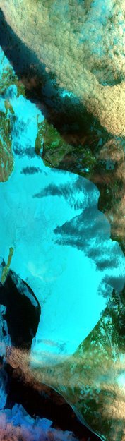

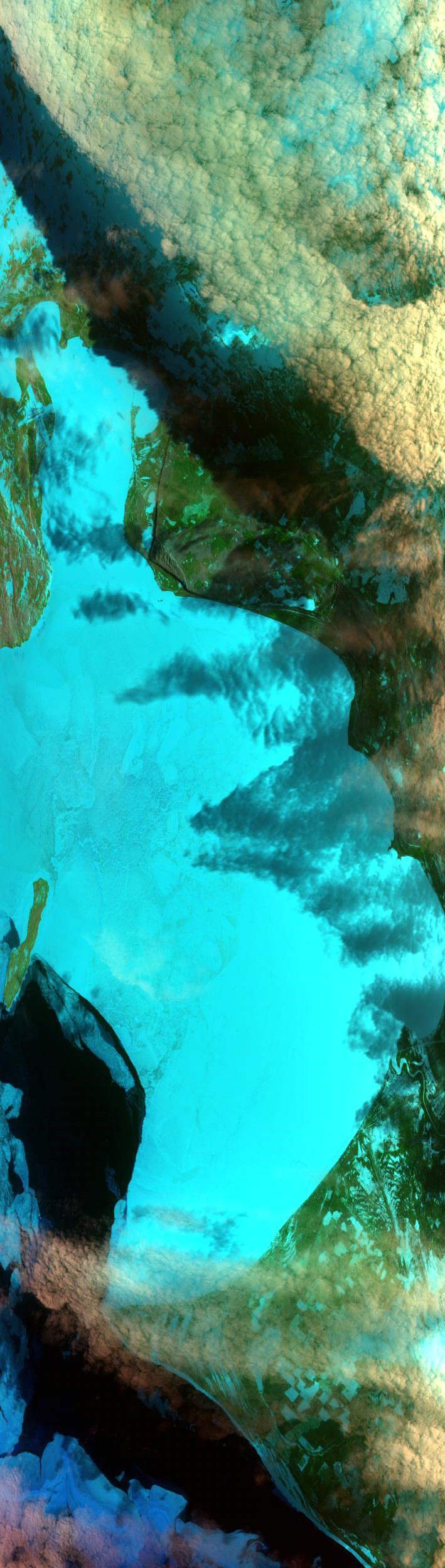
Mid-level clouds over ice-choked whitefish Bay, Lake Superior.
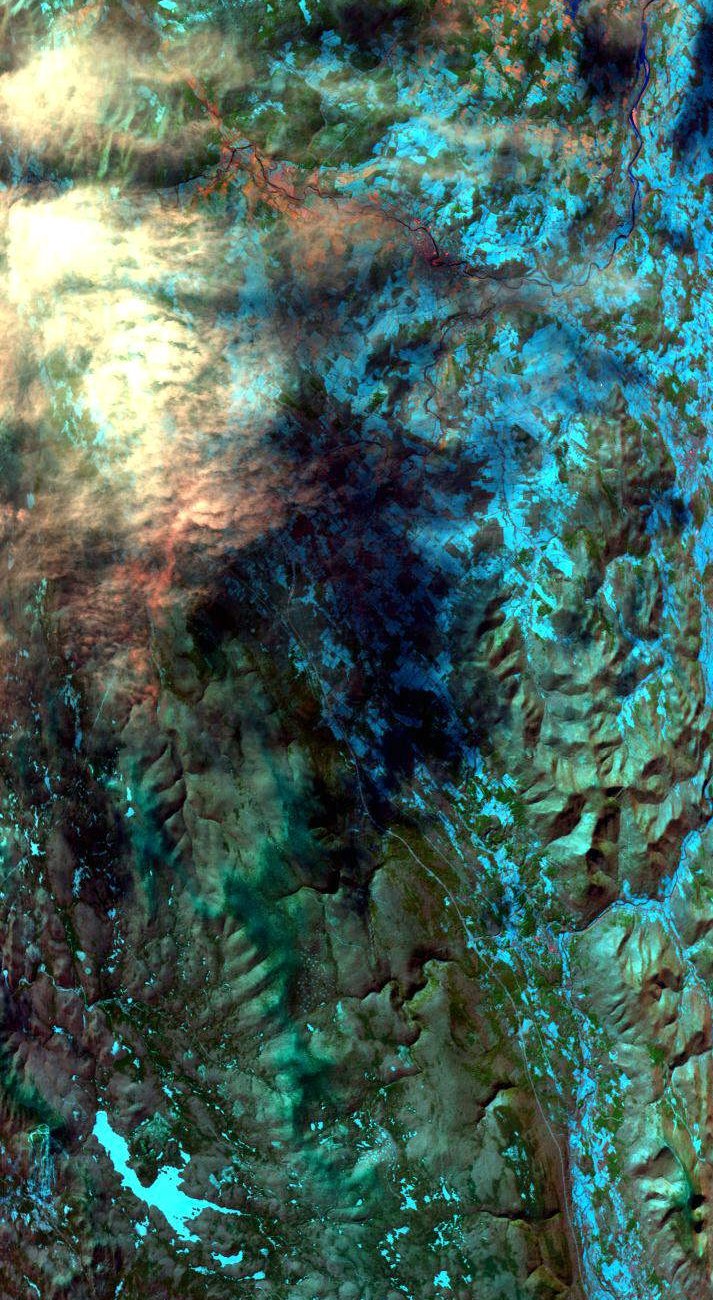
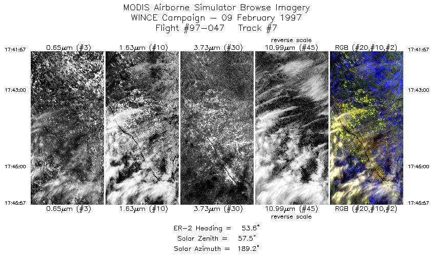
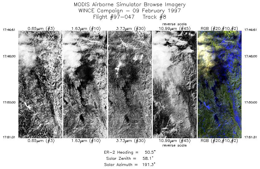
09 February 1997
Track #07

Snow and ice in the Green Mountains, Vermont.
R: 2.15 microns
G: 0.95 microns
B: 0.65 microns
|
|
Summary Information
Date: February 09, 1997
ER-2 Flight Number: 97-047
Location: Great Lakes to New England
Principal Investigator: Dr. Paul Menzel (Univ of Wisconsin)
Additional Sensors: HIS, CLS, APS, MIR, 12" and 6" RC-10 (NC)
Mission Objectives: Overfly instrumented sites near Oneonta NY, Keene NH, and Harvard Forest MA for clear scene snow detection. Fly into solar plane
with thick cloud below over Lake Superior. Overfly ground instrumentation: Park Falls CO site, Trout Lake, Fort McCoy, snow emissivity
measurements with down-looking AERI at Madison and instruments at SSEC.
Level-1B Processing Information
Level-1B Data processed by: Ames Research Center
Level-1B Data Version: #10
Level-1B Configuration: (sample file)
Calibration Type: Final
Calibration Version: WINCE 1.0
Temperature Adjustment: No
Status: Completed with final calibration
|
|
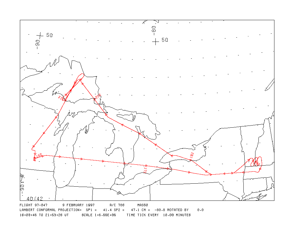
Flight Track Map

|
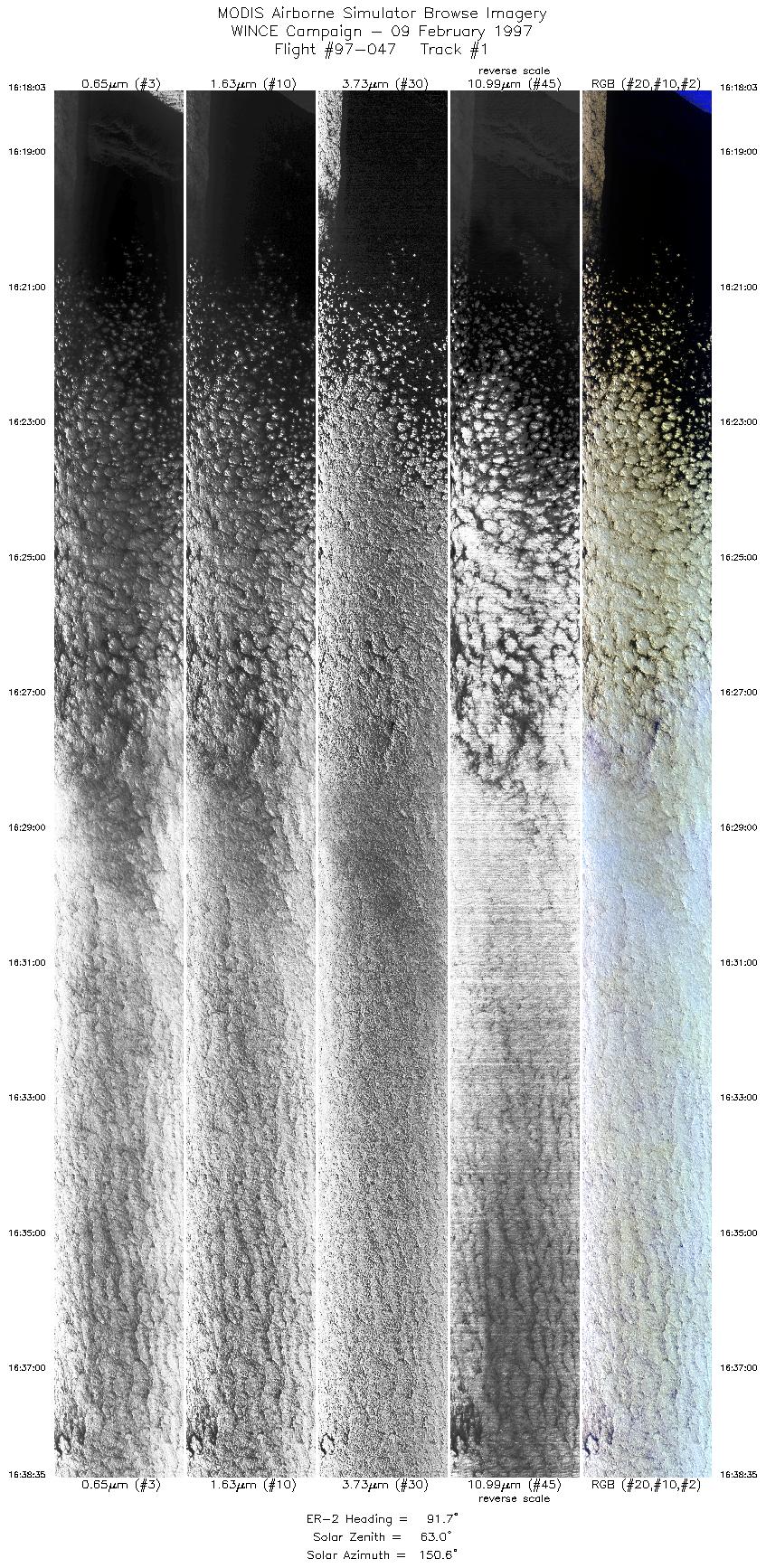
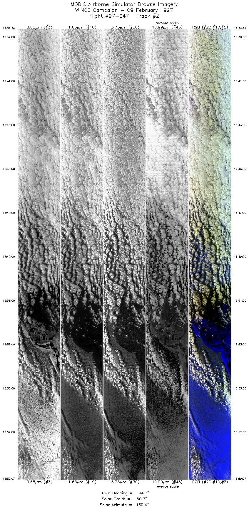
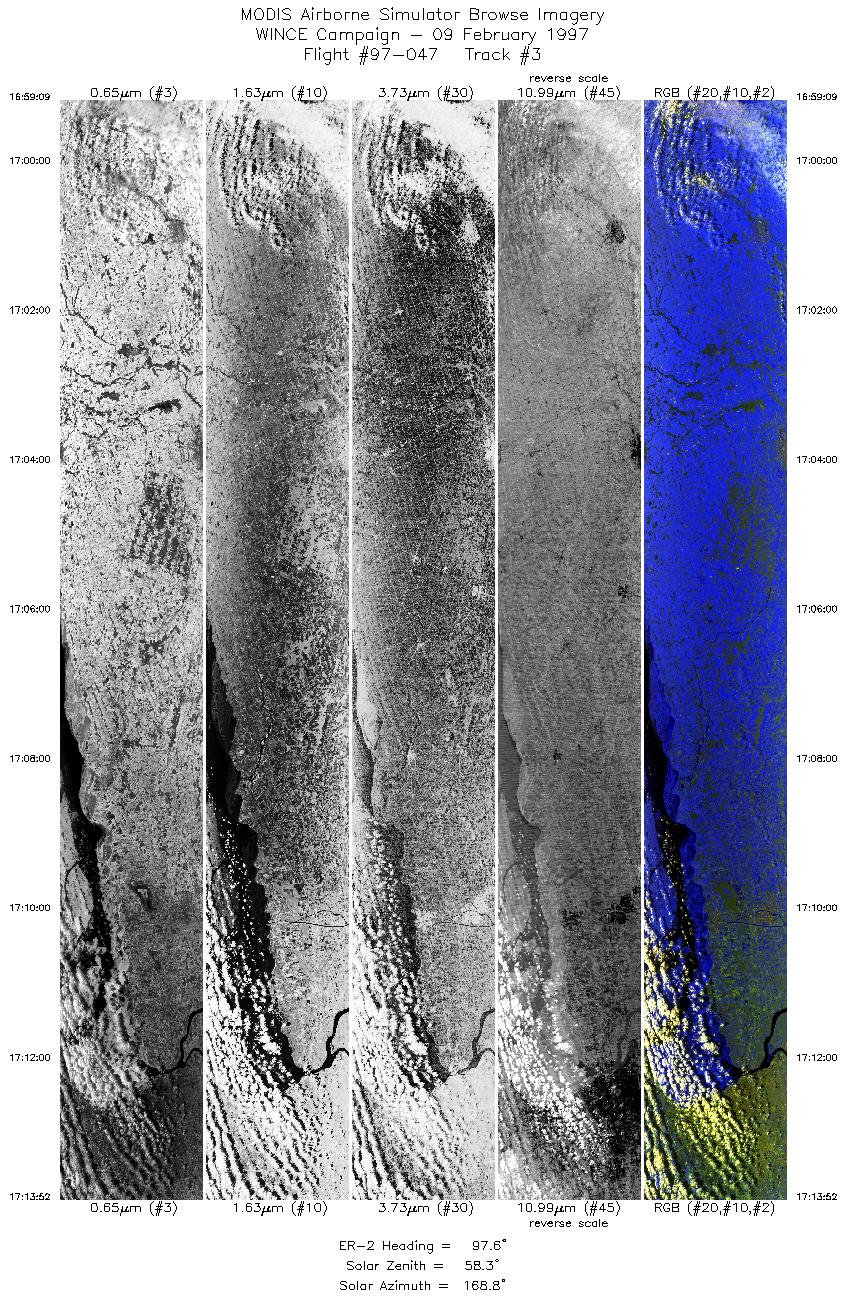
Level-1B Browse Imagery
Straight Line Flight Tracks: 23
Scanlines Processed: 74621
Solar Azimuth and Zenith Angles
|
Browse Images
|
Click on the Flight Track number to load images.
Lat/Lon ranges are for the BEG-END scanline nadir pixels.
|
Flight
Track |
Time_Span
(GMT) |
Heading
(Deg) |
Lat_Range
(Deg_N) |
Lon_Range
(Deg_W) |
Length
(Scanlines) |
Altitude
(Meters) |
| 1 |
16:18-16:38 |
92 |
43.38-43.29 |
87.90-84.47 |
7670 |
~20000 |
| 2 |
16:38-16:59 |
95 |
43.29-43.09 |
84.47-81.06 |
7666 |
~20000 |
| 3 |
16:59-17:13 |
98 |
43.09-42.83 |
81.05-78.64 |
5500 |
~20000 |
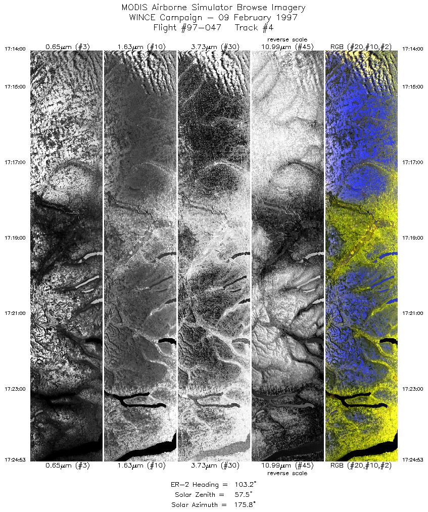
| 4 |
17:14-17:24 |
103 |
42.82-42.52 |
78.62-76.86 |
4066 |
~20000 |
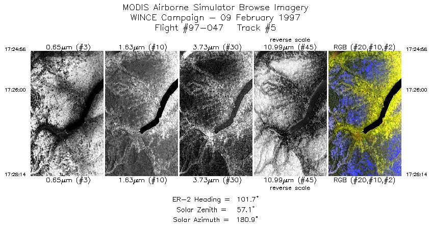
| 5 |
17:24-17:28 |
102 |
42.53-42.44 |
76.85-76.32 |
1234 |
~20000 |
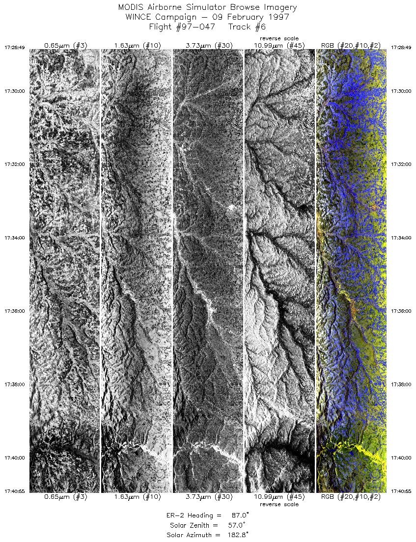
| 6 |
17:28-17:40 |
87 |
42.45-42.45 |
76.22-74.25 |
4522 |
~20000 |
| 7 |
17:41-17:45 |
54 |
42.49-42.76 |
74.09-73.56 |
1496 |
~20000 |
| 8 |
17:46-17:51 |
50 |
42.83-43.17 |
73.44-72.83 |
1745 |
~20000 |
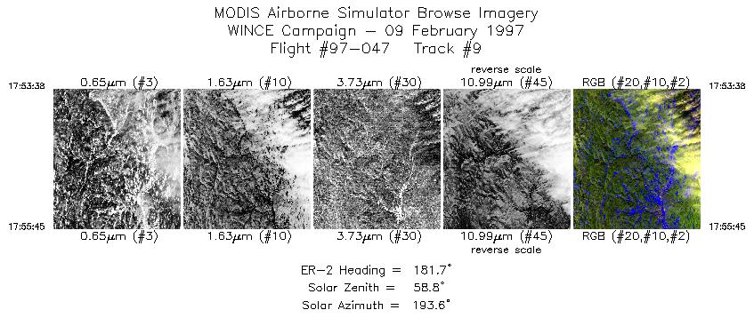
| 9 |
17:53-17:55 |
182 |
43.06-42.82 |
72.62-72.61 |
792 |
~20000 |
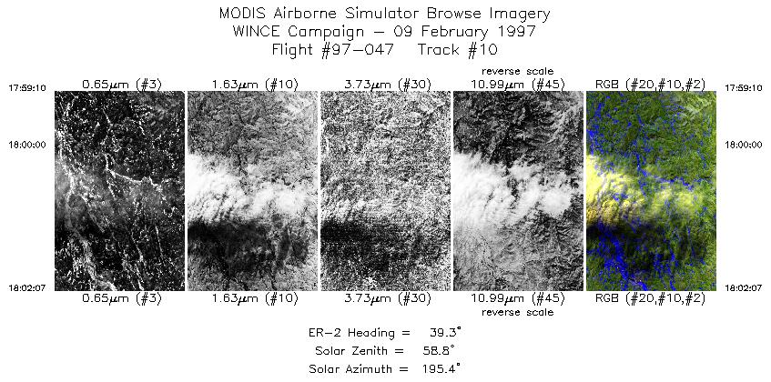
| 10 |
17:59-18:02 |
39 |
42.90-43.17 |
72.79-72.47 |
1103 |
~20000 |
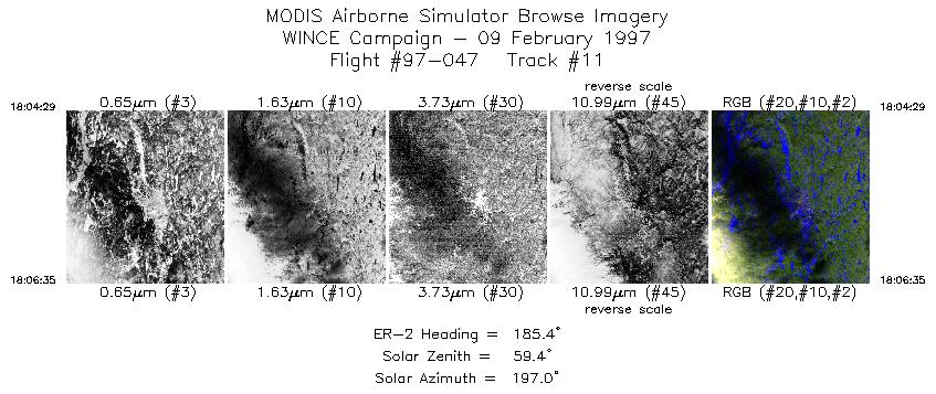
| 11 |
18:04-18:06 |
185 |
43.06-42.82 |
72.29-72.30 |
785 |
~20000 |
| 12 |
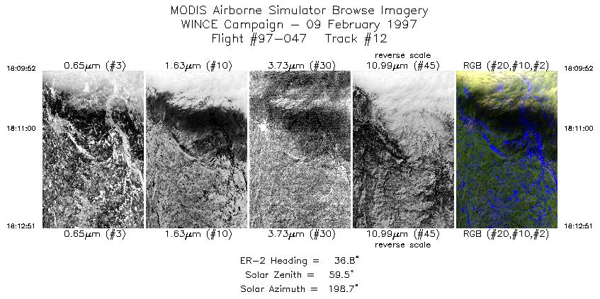
18:09-18:12 |
37 |
42.89-43.18 |
72.50-72.20 |
1115 |
~20000 |
| 13 |
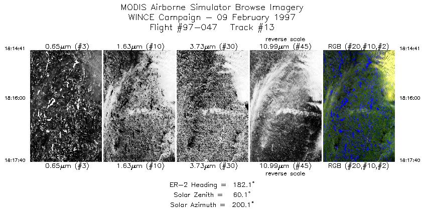
18:14-18:17 |
182 |
43.14-42.81 |
71.99-71.98 |
1115 |
~20000 |
| 14 |
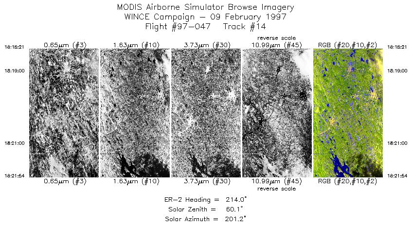
18:18-18:21 |
214 |
42.74-42.41 |
72.01-72.27 |
1327 |
~20000 |
| 15 |
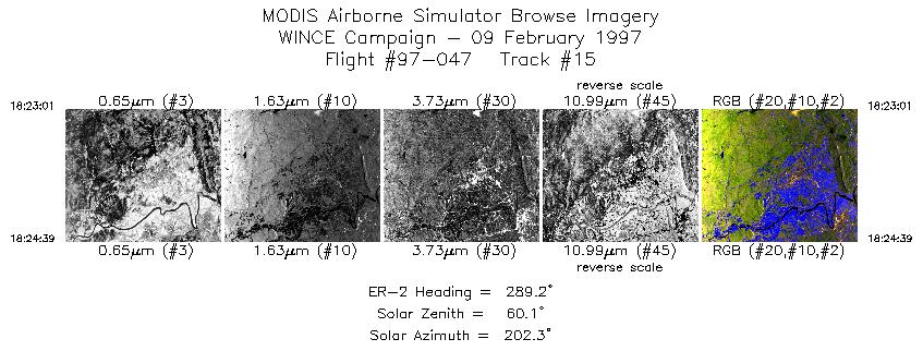
18:23-18:24 |
289 |
42.37-42.44 |
72.41-72.62 |
611 |
~20000 |
| 16 |
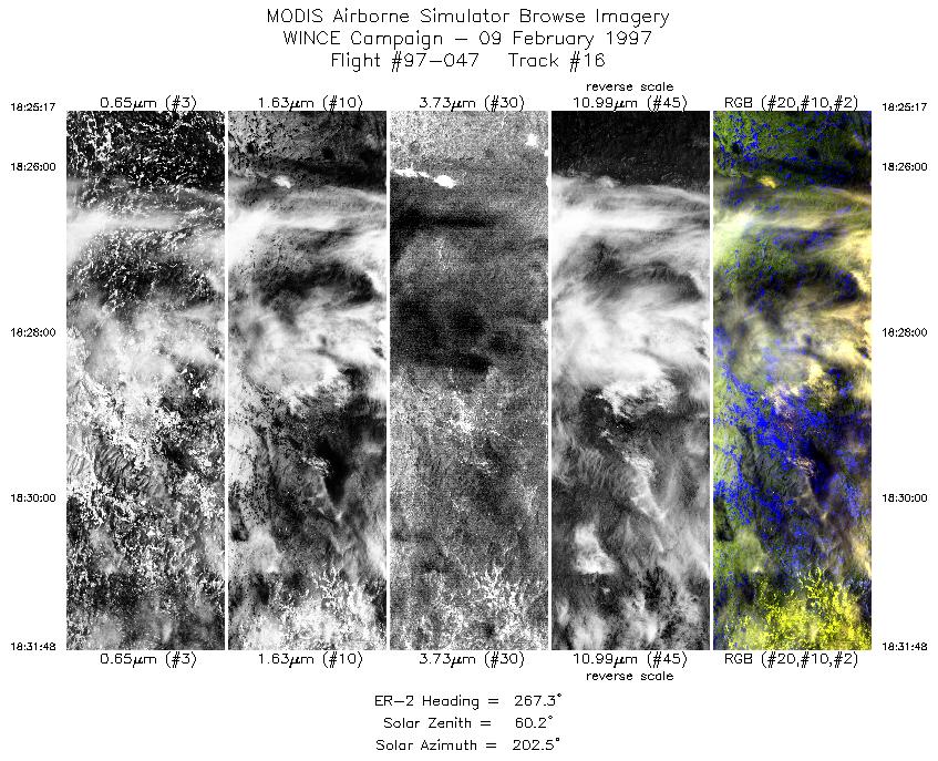
18:25-18:31 |
267 |
42.44-42.44 |
72.71-73.64 |
2436 |
~20000 |
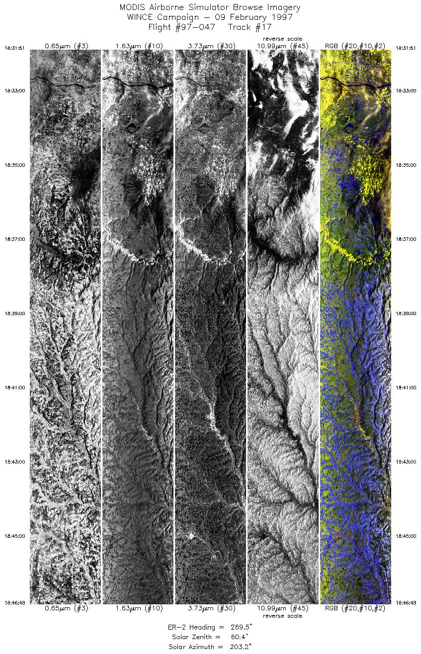
| 17 |
18:31-18:46 |
269 |
42.45-42.45 |
73.65-75.78 |
5586 |
~20000 |
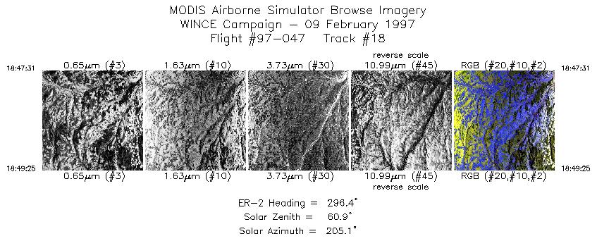
| 18 |
18:47-18:49 |
296 |
42.47-42.57 |
75.88-76.13 |
711 |
~20000 |
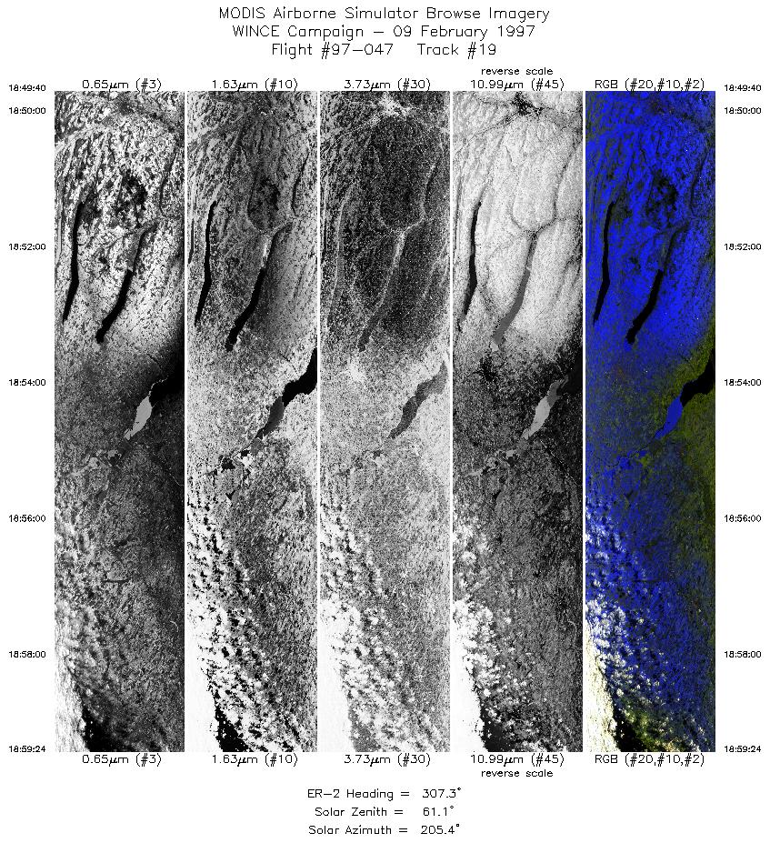
| 19 |
18:49-18:59 |
307 |
42.58-43.27 |
76.16-77.26 |
3637 |
~20000 |
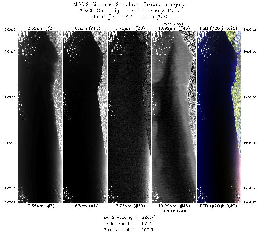
| 20 |
19:00-19:07 |
287 |
43.31-43.59 |
77.35-78.41 |
2834 |
~20000 |
| 21 |
19:10-19:30 |
303 |
43.63-44.86 |
78.89-81.32 |
7304 |
~20000 |
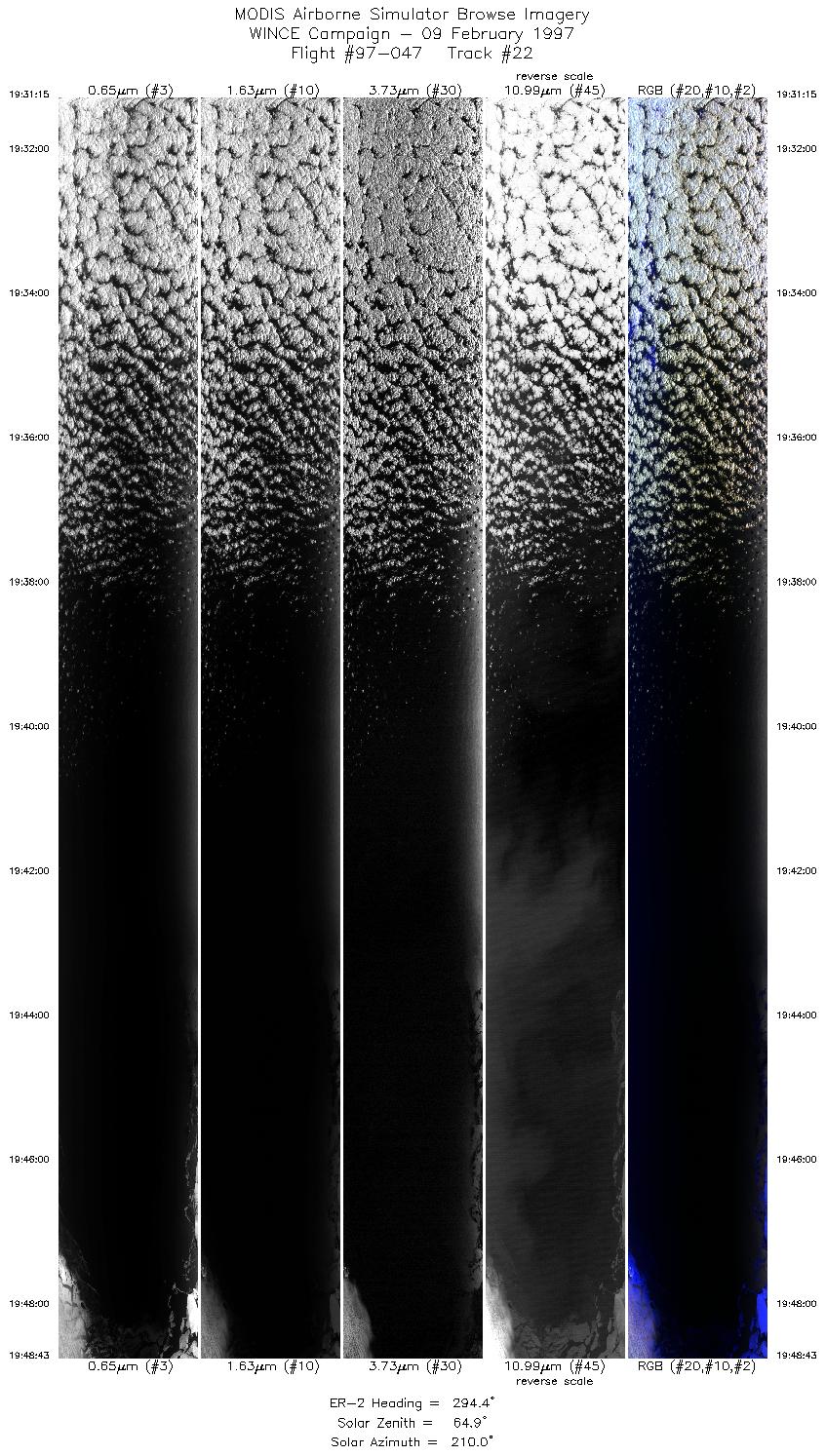
| 22 |
19:31-19:48 |
294 |
44.90-45.74 |
81.43-83.86 |
6471 |
~20000 |
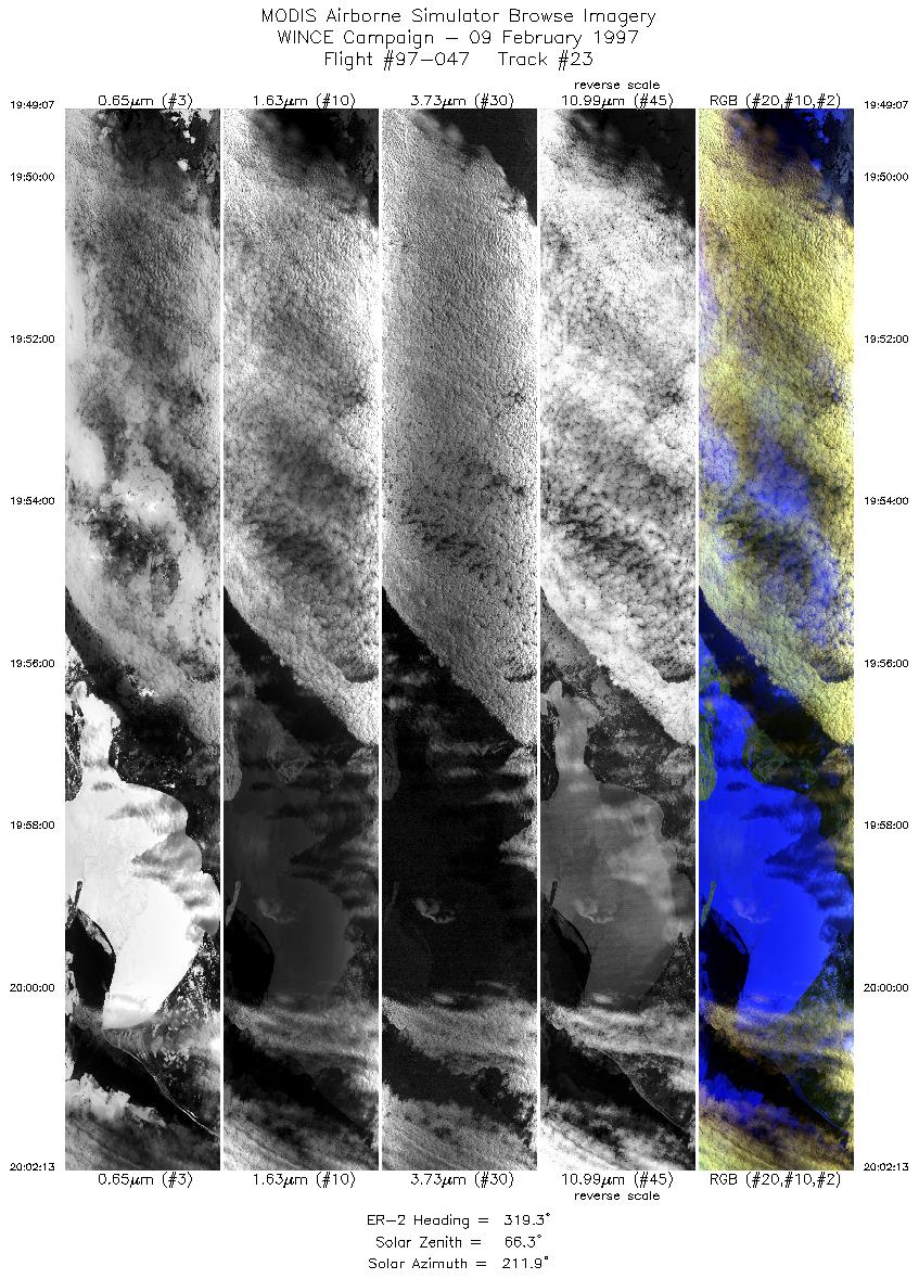
| 23 |
19:49-20:02 |
319 |
45.77-46.86 |
83.89-85.21 |
4895 |
~20000 |
|
Images 01 through 23 in sequence |
Level-1B Data Distribution
NASA GSFC Earth Sciences (GES) Data Center
NASA DAAC's
Additional Information
|
The objective of this mission was to overfly instrumentation sites near Oneonta NY, Keene NH, and Harvard Forest MA for clear scene snow detection (Hall), fly into the solar plane with thick cloud below over Lake Superior, overfly ground instrumentation at Park Falls CO site, Trout Lake, Fort McCoy, and make snow emissivity measurements with down-looking AERI at Madison and instruments at SSEC. The ER-2 aircraft left Madison and flew directly to NY site. Arrived around 1730 UTC for data collection close to solar noon. Flew New Hampshire legs and did flyover of Massachussettes site before returning to NY site. The England snow sites for D. Hall were well observed throught clear skies. The ER-2 then flew towards NE Lake Superior, passing over Scele Canadian Ag station. Thick mid-level clouds were observed for flight line into sun over Lake Superior. Pilot reported MAS instrument failure on this line and was instructed to return to base if unable to bring MAS back up. MAS problem noted in Instrument Status section. The pilotnoted that for the Dorothy Hall lines near Keene, NH: 1st line had some thin cirrus, 2nd line was clear, 3rd had about 5% coverage thin cirrus near nadir. Lake Ontario clear scenes from 1902 to 1907 and 1912 to 1913. Lake Huron clear scenes from 1941 to 1947. MAS and EO turned on during ascent at 1618 to view clear Lake MI scenes. Altitude about 40K.
|
|
|
|