
|
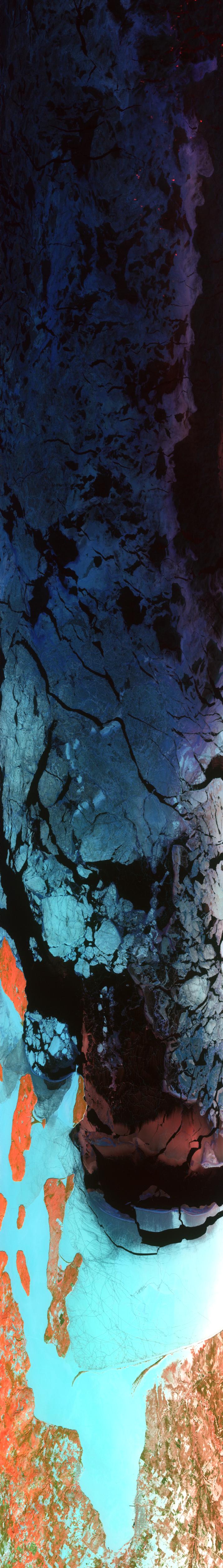
Sample Image

08 February 1997
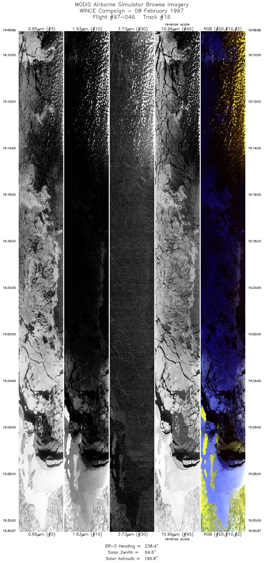
Track #16
Scanlines 3000 - 8038


This image begins over the broken ice-fields of Lake Superior. Proceeding southwest, the ice-locked Apostle Islands and the Chequamegon Bay come into view. The image ends over Ashland, Wisconsin.
R: 2.15 microns
G: 0.95 microns
B: 0.65 microns
|
|
Summary Information
Date: February 08, 1997
ER-2 Flight Number: 97-046
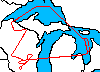
Location: Upper Midwest
Principal Investigator: Dr. Paul Menzel (Univ of Wisconsin)
Additional Sensors: HIS, CLS, APS, MIR, EOC, 12" and 6" RC-10 (NC)
Mission Objectives: Overfly Lake Huron for MAS/HIS cross-calibration. Overfly ground instrumentation: Park Falls CO site, Trout Lake, Fort McCoy, snow
emissivity measurements with down-looking AERI at Madison and instruments at SSEC.
Level-1B Processing Information
Level-1B Data processed by: Ames Research Center
Level-1B Data Version: #10
Level-1B Configuration: (sample file)
Calibration Type: Final
Calibration Version: WINCE 1.0
Temperature Adjustment: No
Status: Completed with final calibration
|
|
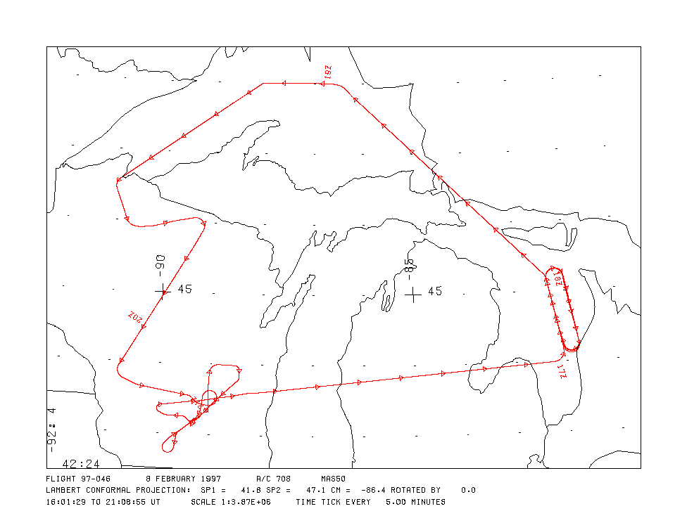
Flight Track Map

|
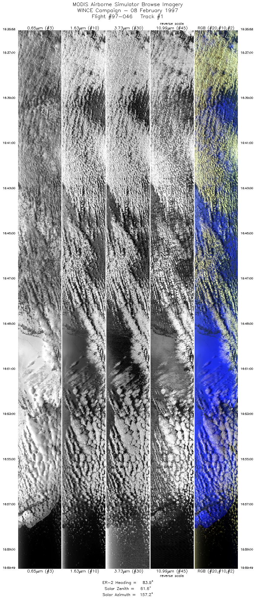
Level-1B Browse Imagery
Straight Line Flight Tracks: 27
Scanlines Processed: 70034
Solar Azimuth and Zenith Angles
|
Browse Images
|
Click on the Flight Track number to load images.
Lat/Lon ranges are for the BEG-END scanline nadir pixels.
|
Flight
Track |
Time_Span
(GMT) |
Heading
(Deg) |
Lat_Range
(Deg_N) |
Lon_Range
(Deg_W) |
Length
(Scanlines) |
Altitude
(Meters) |
| 1 |
16:35-16:59 |
84 |
43.78-44.00 |
86.15-82.24 |
8909 |
~20000 |
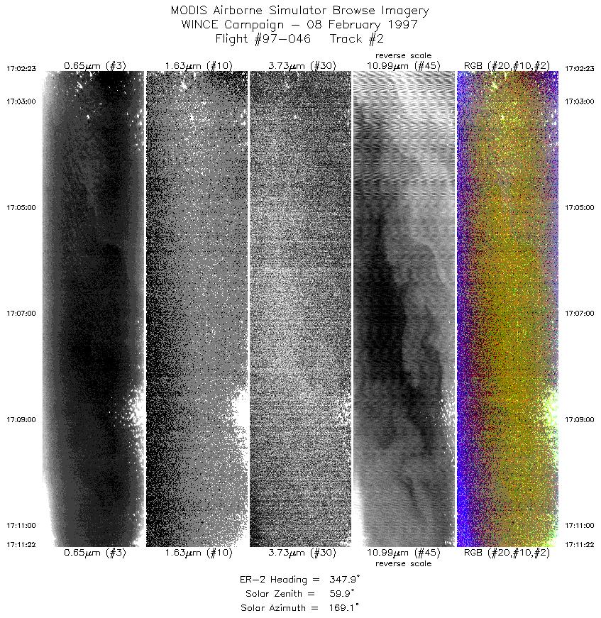
| 2 |
17:02-17:11 |
348 |
44.21-45.17 |
82.06-82.33 |
3358 |
~20000 |
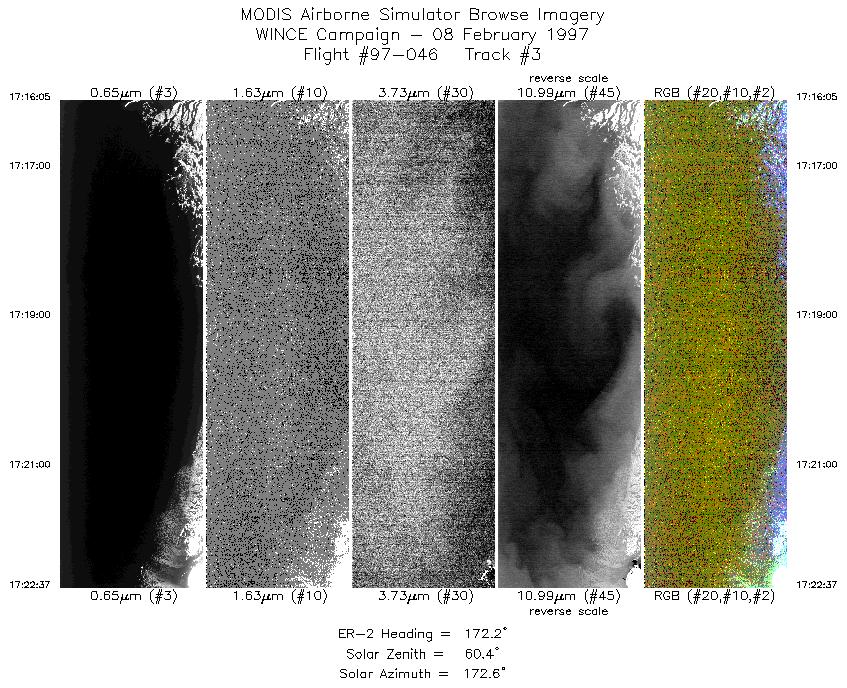
| 3 |
17:16-17:22 |
172 |
45.05-44.29 |
81.95-81.75 |
2442 |
~20000 |
| 4 |
17:25-17:34 |
345 |
44.25-45.17 |
82.06-82.33 |
3194 |
~20000 |
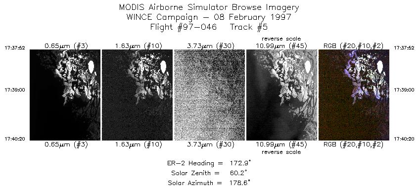
| 5 |
17:37-17:40 |
173 |
45.21-44.93 |
81.99-81.93 |
923 |
~20000 |
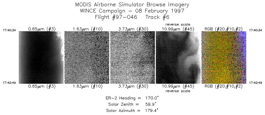
| 6 |
17:40-17:42 |
170 |
44.90-44.64 |
81.92-81.85 |
841 |
~20000 |
| 7 |
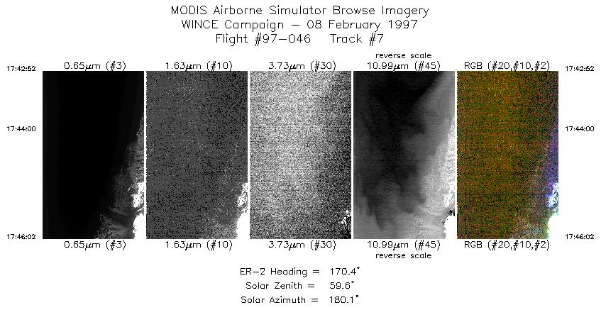
17:42-17:46 |
170 |
44.63-44.26 |
81.85-81.75 |
1185 |
~20000 |
| 8 |
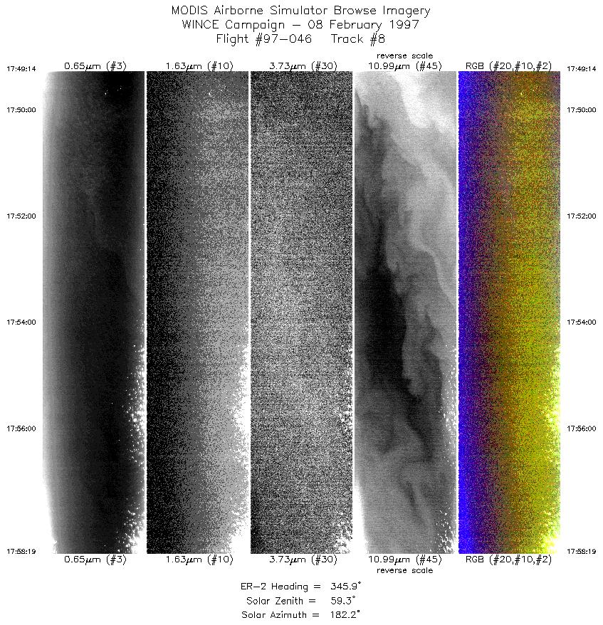
17:49-17:58 |
346 |
44.19-45.17 |
82.05-82.34 |
3394 |
~20000 |
| 9 |
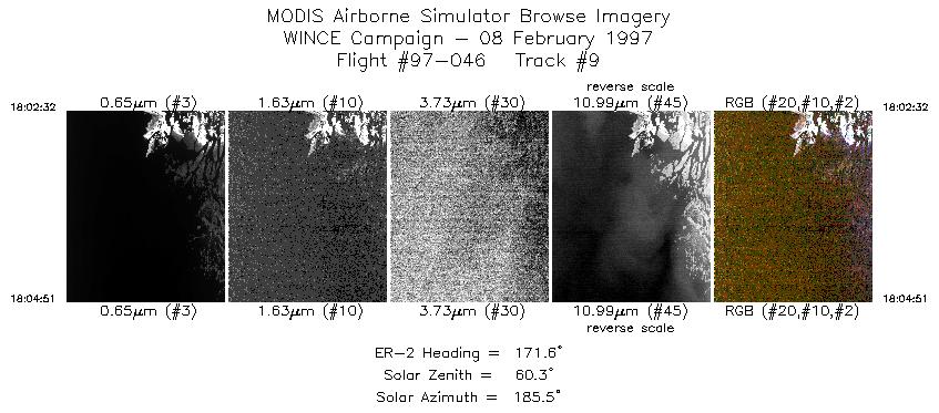
18:02-18:04 |
172 |
45.10-44.83 |
81.98-81.91 |
866 |
~20000 |
| 10 |
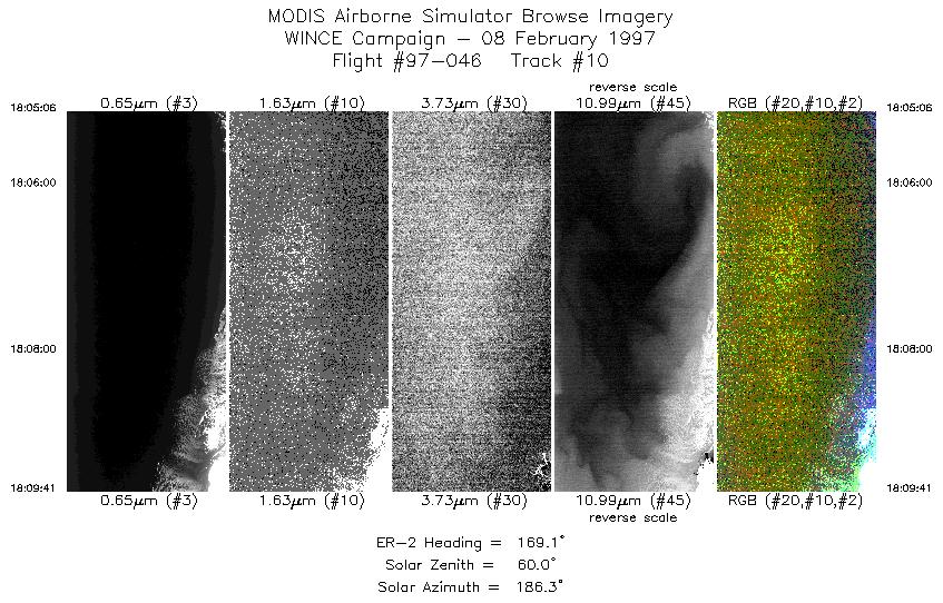
18:05-18:09 |
169 |
44.81-44.28 |
81.90-81.75 |
1713 |
~20000 |
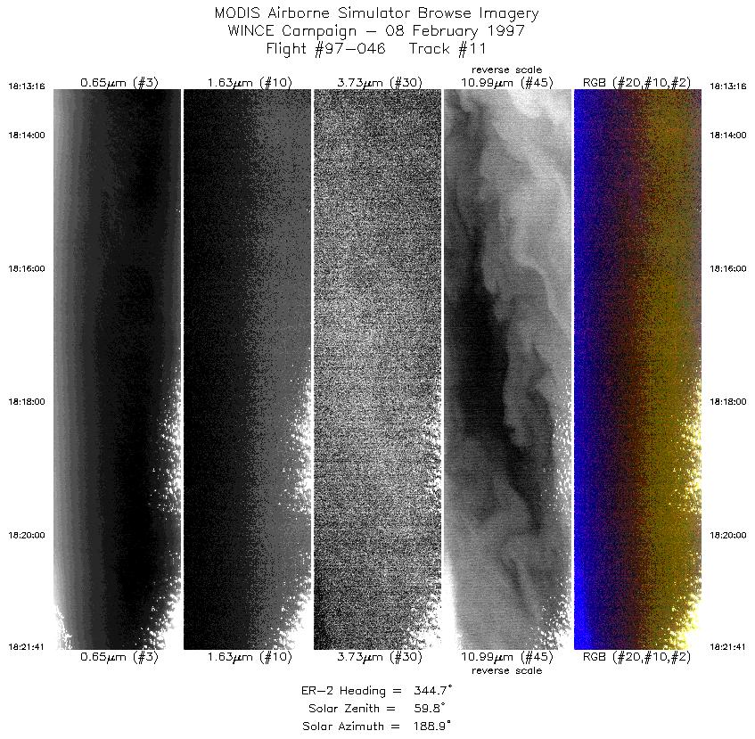
| 11 |
18:13-18:21 |
345 |
44.27-45.17 |
82.07-82.34 |
3146 |
~20000 |
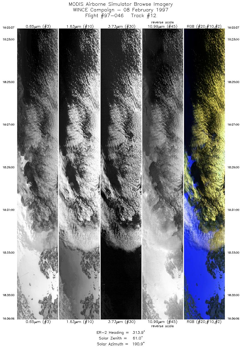
| 12 |
18:22-18:36 |
314 |
45.24-46.29 |
82.38-83.86 |
5101 |
~20000 |
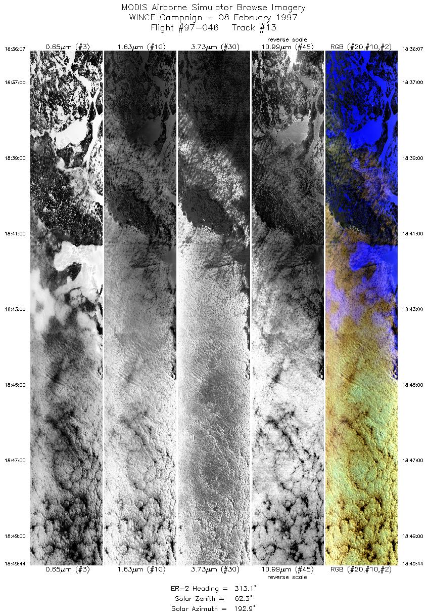
| 13 |
18:36-18:49 |
313 |
46.29-47.32 |
83.87-85.41 |
5088 |
~20000 |
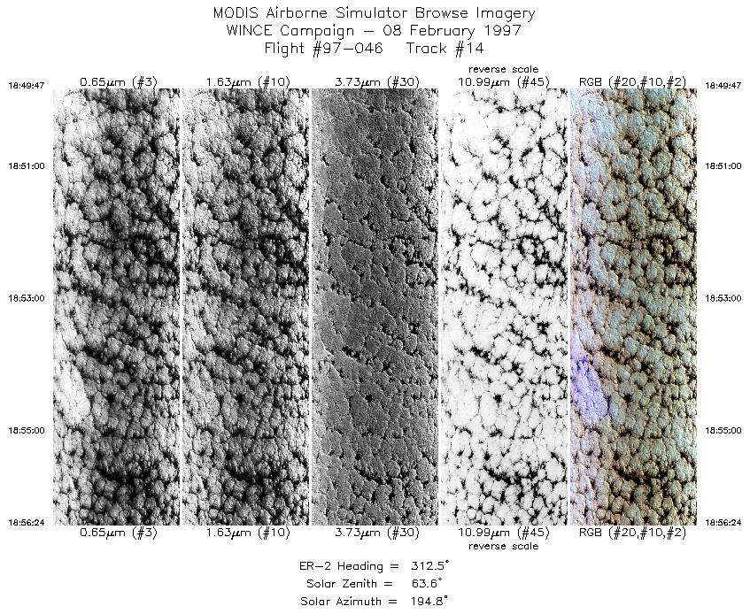
| 14 |
18:49-18:56 |
313 |
47.32-47.81 |
85.42-86.20 |
2473 |
~20000 |
| 15 |
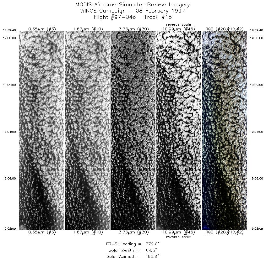
18:59-19:08 |
272 |
48.00-48.00 |
86.63-88.00 |
3169 |
~20000 |
| 16 |
19:08-19:30 |
238 |
47.99-46.59 |
88.13-90.97 |
8038 |
~20000 |
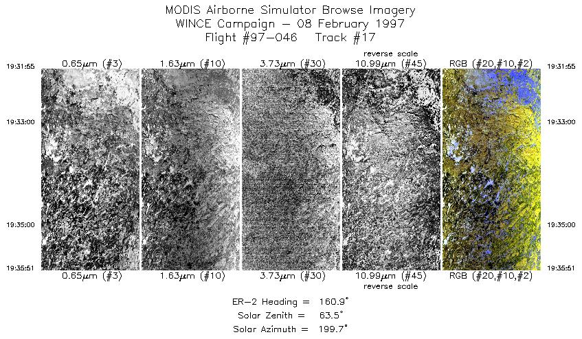
| 17 |
19:31-19:35 |
161 |
46.44-46.01 |
91.02-90.79 |
1470 |
~20000 |
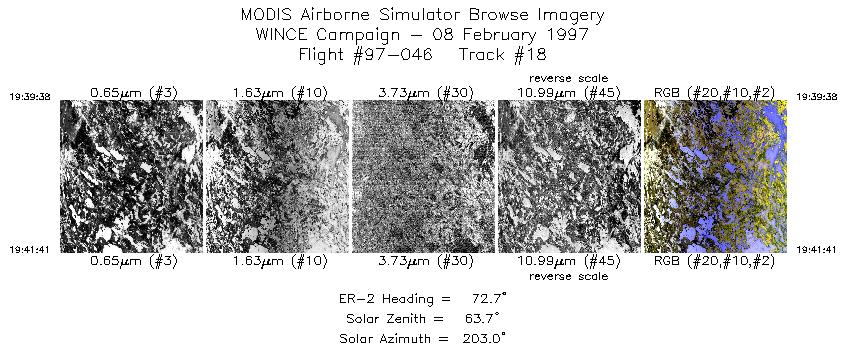
| 18 |
19:39-19:41 |
73 |
45.94-46.00 |
90.20-89.87 |
766 |
~20000 |
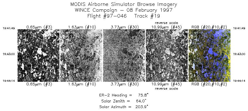
| 19 |
19:41-19:44 |
76 |
46.01-46.06 |
89.84-89.44 |
904 |
~20000 |
| 20 |
19:47-19:56 |
212 |
45.85-44.90 |
89.26-90.04 |
3593 |
~20000 |
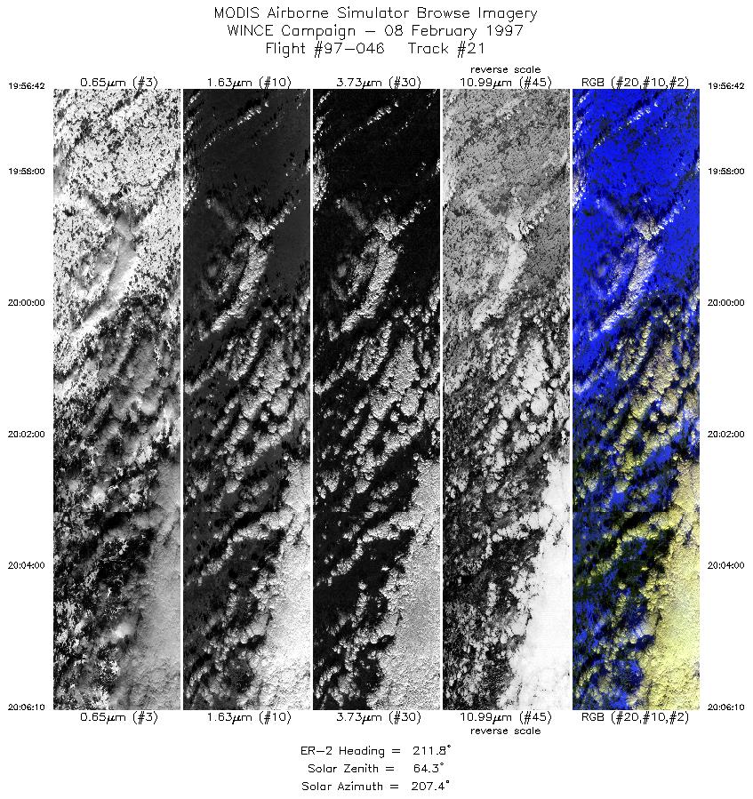
| 21 |
19:56-20:06 |
212 |
44.89-43.95 |
90.04-90.79 |
3498 |
~20000 |
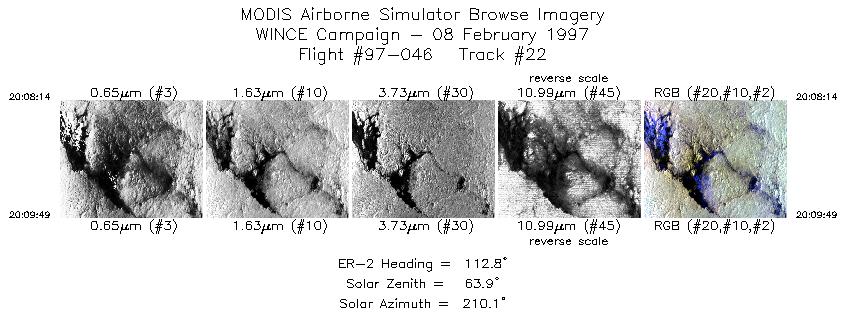
| 22 |
20:08-20:09 |
113 |
43.76-43.68 |
90.69-90.47 |
592 |
~20000 |
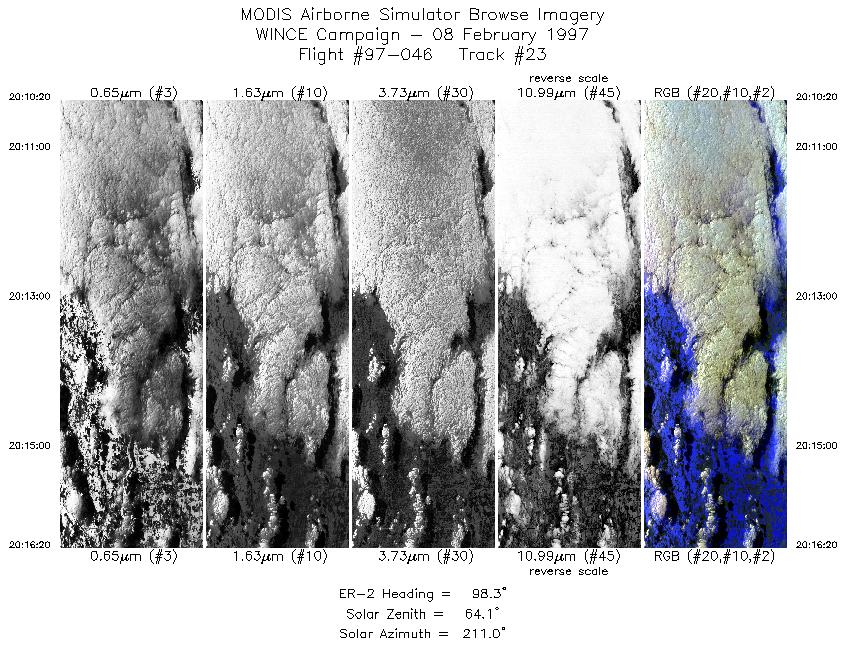
| 23 |
20:10-20:16 |
98 |
43.67-43.55 |
90.39-89.43 |
2242 |
~20000 |
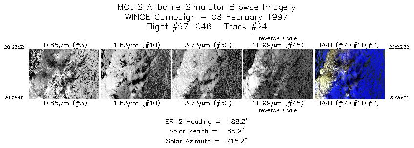
| 24 |
20:23-20:25 |
188 |
43.53-43.37 |
89.14-89.17 |
518 |
~20000 |
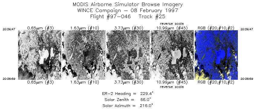
| 25 |
20:26-20:28 |
229 |
43.20-43.04 |
89.30-89.56 |
823 |
~20000 |
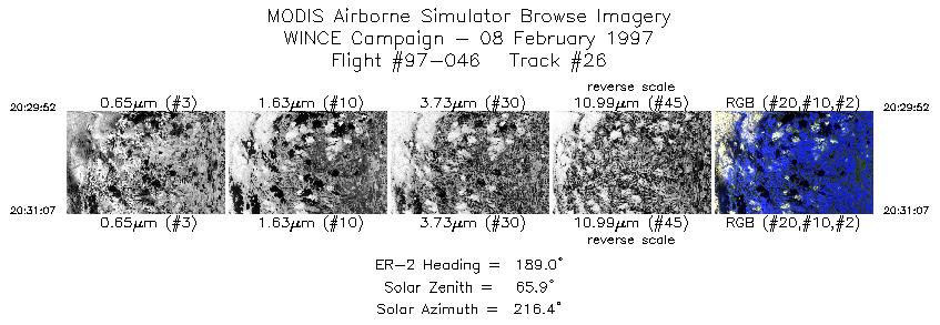
| 26 |
20:29-20:31 |
189 |
42.96-42.82 |
89.63-89.66 |
468 |
~20000 |
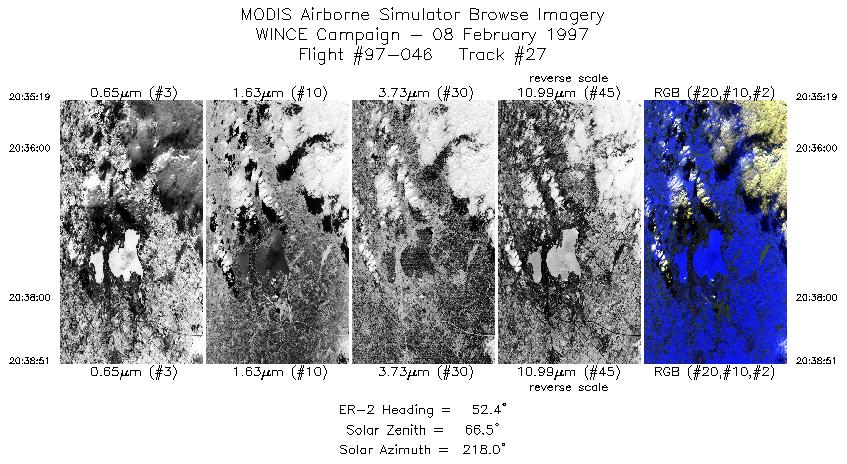
| 27 |
20:35-20:38 |
52 |
42.97-43.22 |
89.70-89.25 |
1320 |
~20000 |
|
Images 01 through 27 in sequence |
Level-1B Data Distribution
NASA GSFC Earth Sciences (GES) Data Center
NASA DAAC's
Additional Information
|
Take-off was at 1600 UTC with landing at 2207 UTC.
ER-2 left Madison and flew to Lake Hudson. Three and 1/2 race tracks flown over Lake Huron with conditions of clear sky; northeast end
of the racetrack pattern had lake ice. After Lake Huron a transit line was flown to Lake Superior. Lake Superior was mostly cloudy
(stratus/fog). Pilot observed lake ice in clear scenes near Duluth (Fish Creek). Overpasses of Park Falls CO tower and Trout Lake (lake
ice) were clear and occurred between approximately 1938 and 1944 UTC. Fort McCoy (land mapping) appeared to be at a boundary
between clear and overcast conditions at overpass of 2005 UTC. Flight finished with two lines over Lake Mendota in support of ground
based snow emissivity measurements. The Lake Mendota flight line was located between 43:05N, 89:30W and 43:07:30N, 89:25:30 W
(89:22:30?). The first leg (2027 to 2029 UTC) was clear, the second (2035 to 2037 UTC) was clear with a few clouds. All ground
instrumentation operative during SSEC overpass.
Channel 5 varries from excessive noise to no data throughout flight. Data from this band are not usable.
Noise in port 3, particulary excessive in tracks 2-11. Port 4 noise intermitent throughout the flight.
|
|
|
|