
|
Sample Image

29 January 1997
Track #08
Scanlines 800 - 4798


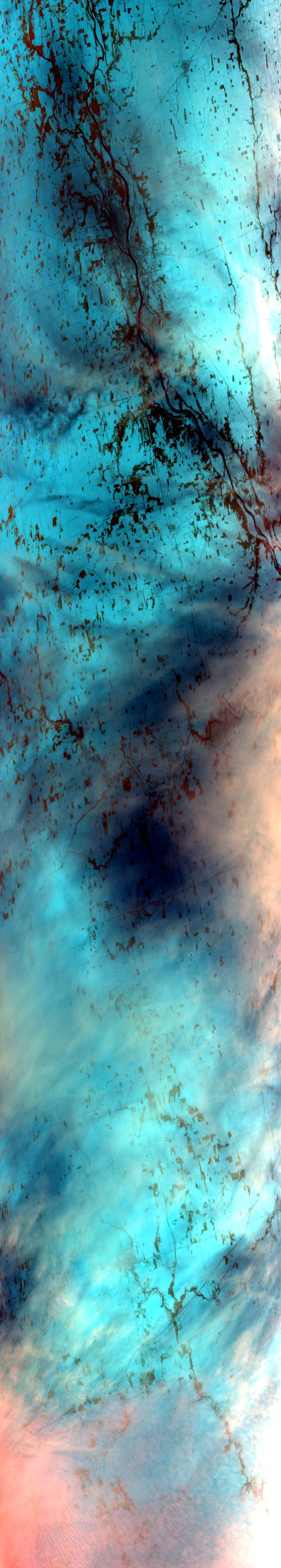
Westward flightpath initially following the Wabash River over the city of Logansport, Indiana. Further west is Lake Shafer and Tippecanoe River. Ends over the frozen plains surrounding the Iroquois River, just east of the Illinois border.
R: 2.15 microns
G: 0.95 microns
B: 0.65 microns
|
|
Summary Information
Date: January 29, 1997
ER-2 Flight Number: 97-042
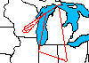
Location: Upper Midwest
Principal Investigator: Dr. Paul Menzel (Univ of Wisconsin)
Additional Sensors: HIS, CLS, MIR, 6" RC-10 (NC)
Mission Objectives: Overfly cirrus and clear scenes over snow background. Overfly cirrus over water background (Lake MI). Overfly Space Science
instrumentation (HSRL, AERI, Classonde, Nolin snow measurements) at end of flight.
Level-1B Processing Information
Level-1B Data processed by: Ames Research Center
Level-1B Data Version: #10
Level-1B Configuration: (sample file)
Calibration Type: Final
Calibration Version: WINCE 1.0
Temperature Adjustment: No
Status: Completed with final calibration
|
|
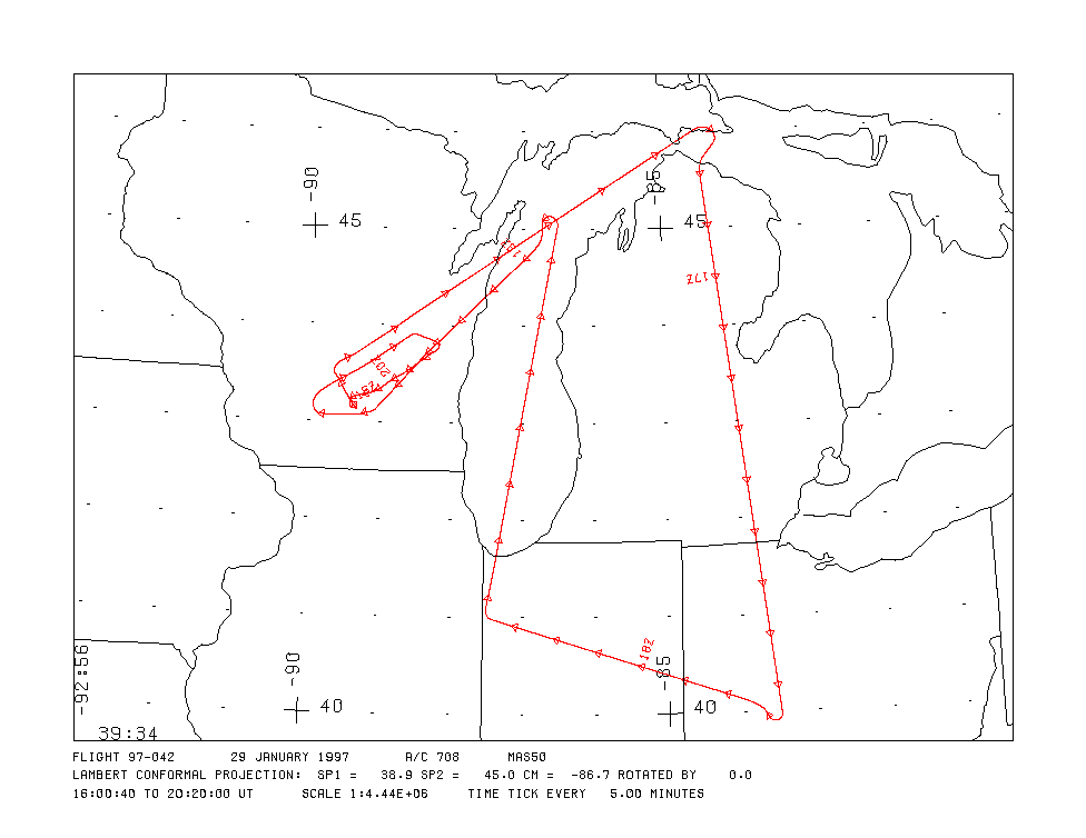
Flight Track Map

|
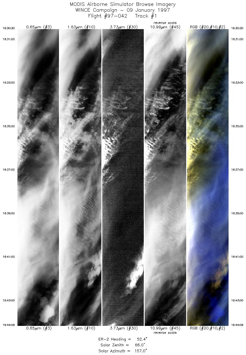
Level-1B Browse Imagery
Straight Line Flight Tracks: 14
Scanlines Processed: 59754
Solar Azimuth and Zenith Angles
|
Browse Images
|
Click on the Flight Track number to load images.
Lat/Lon ranges are for the BEG-END scanline nadir pixels.
|
Flight
Track |
Time_Span
(GMT) |
Heading
(Deg) |
Lat_Range
(Deg_N) |
Lon_Range
(Deg_W) |
Length
(Scanlines) |
Altitude
(Meters) |
| 1 |
16:30-16:44 |
52 |
45.04-46.01 |
86.65-84.50 |
5098 |
~20000 |
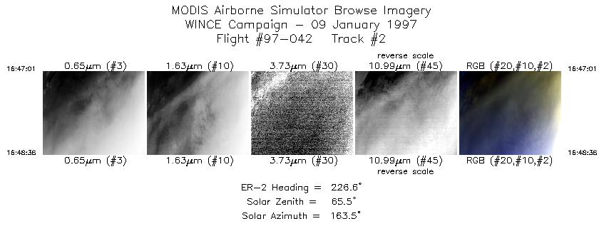
| 2 |
16:47-16:48 |
227 |
45.86-45.74 |
84.21-84.35 |
592 |
~20000 |
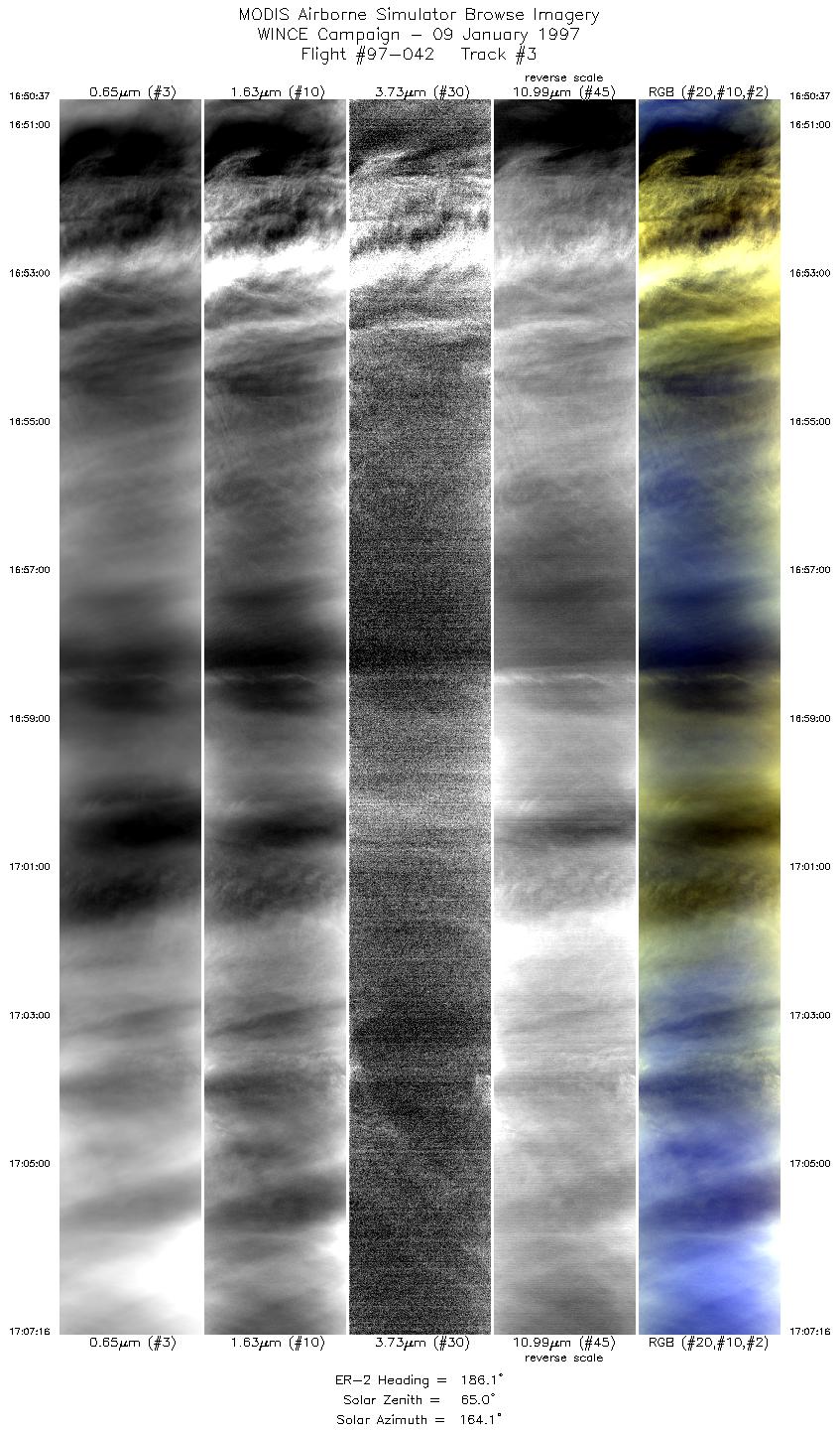
| 3 |
16:50-17:07 |
186 |
45.54-43.78 |
84.42-84.10 |
6224 |
~20000 |
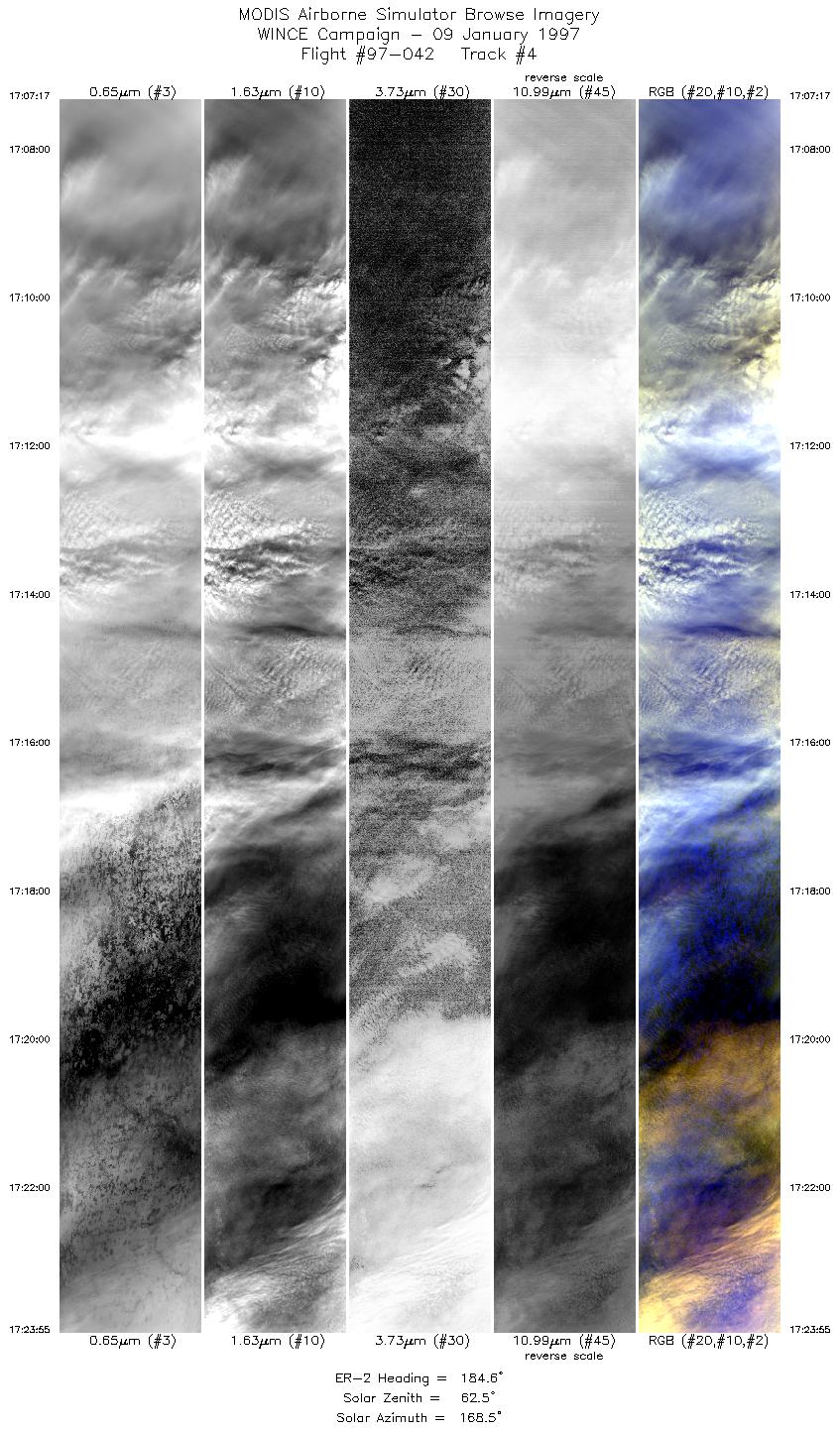
| 4 |
17:07-17:23 |
185 |
43.78-42.02 |
84.10-83.81 |
6220 |
~20000 |
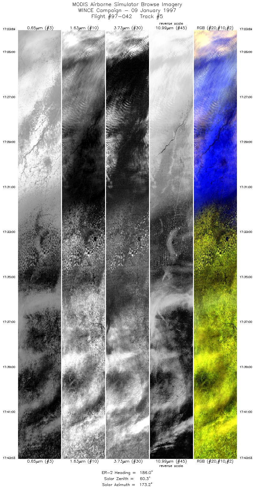
| 5 |
17:23-17:43 |
186 |
42.00-39.99 |
83.81-83.50 |
7129 |
~20000 |
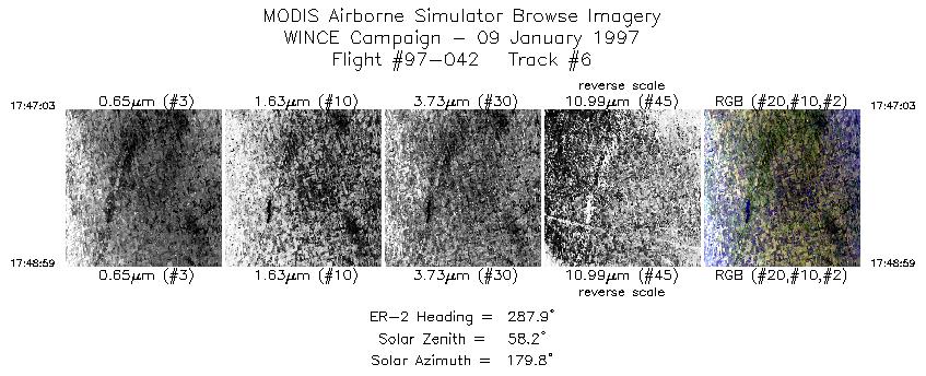
| 6 |
17:47-17:48 |
288 |
40.08-40.15 |
83.84-84.07 |
724 |
~20000 |
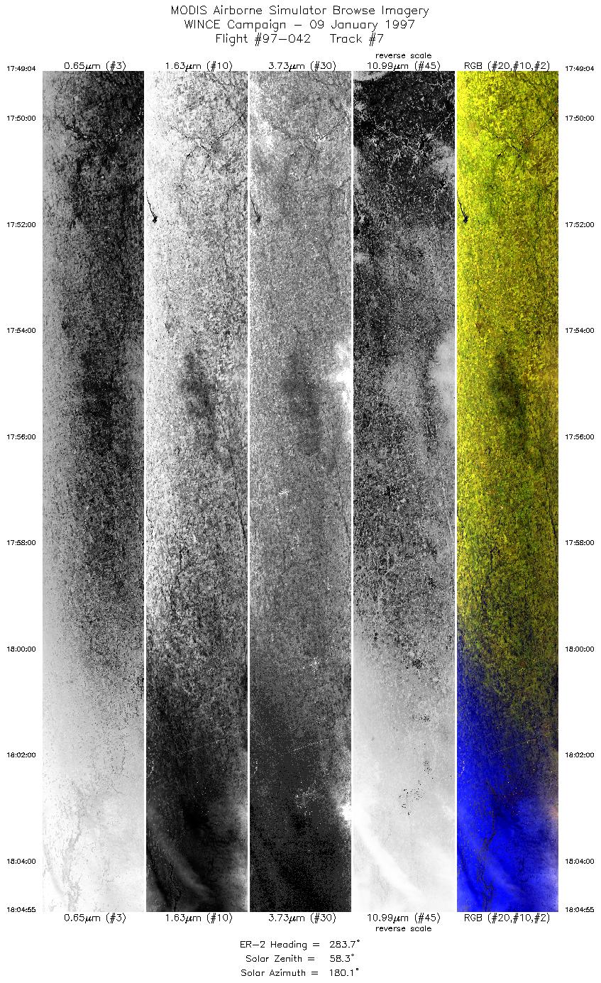
| 7 |
17:49-18:04 |
284 |
40.15-40.62 |
84.07-85.91 |
5926 |
~20000 |
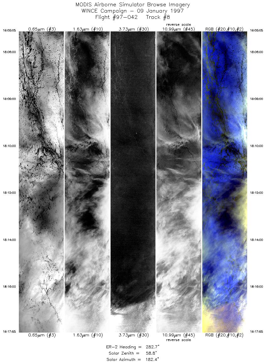
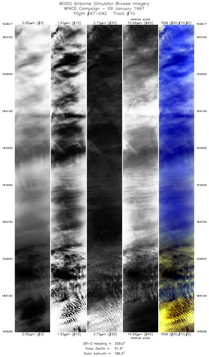
| 8 |
18:05-18:17 |
283 |
40.63-40.98 |
85.93-87.39 |
4798 |
~20000 |
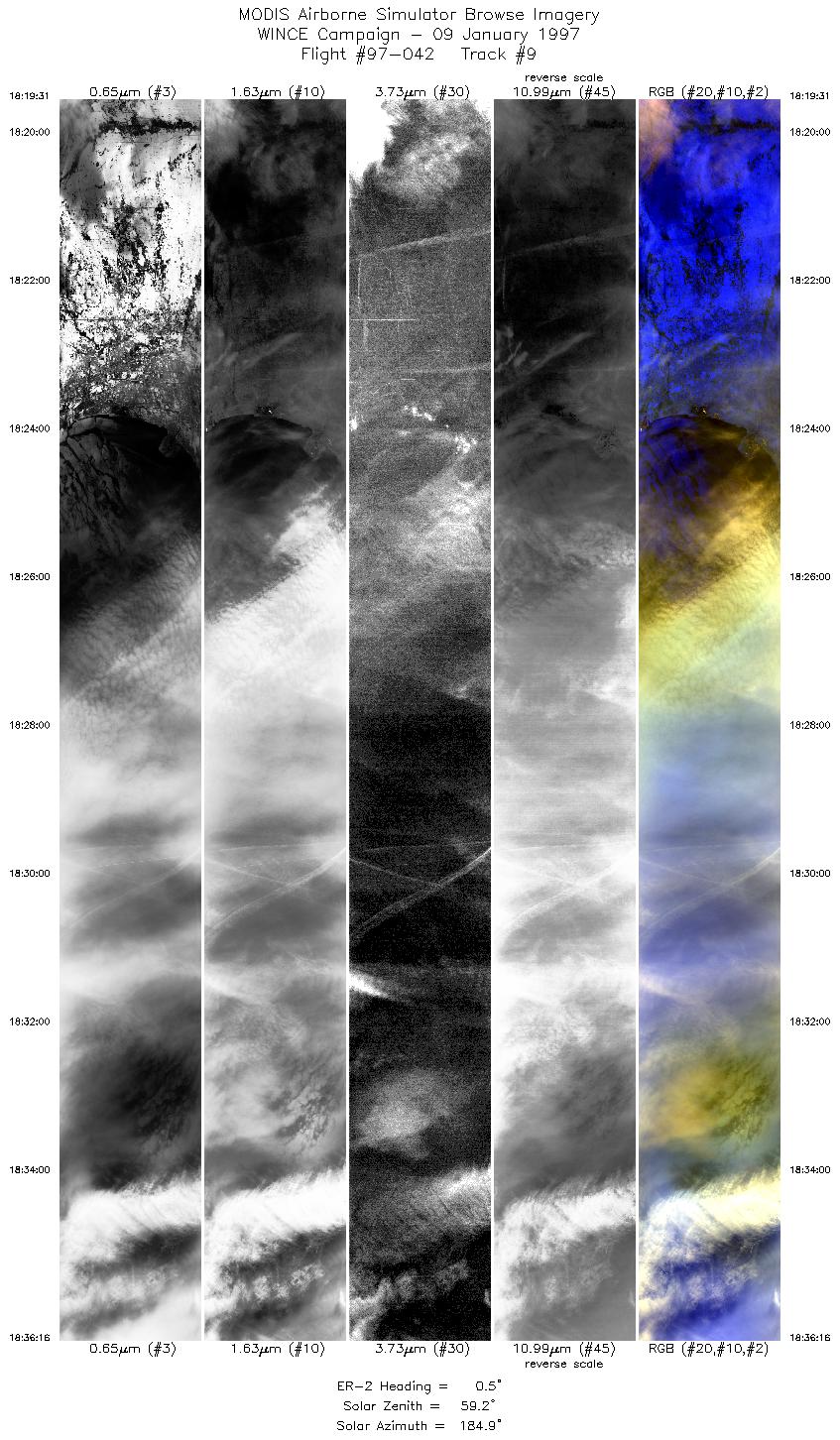
| 9 |
18:19-18:36 |
1 |
41.12-43.08 |
87.47-87.00 |
6261 |
~20000 |
| 10 |
18:36-18:52 |
359 |
43.08-45.00 |
87.00-86.50 |
6224 |
~20000 |
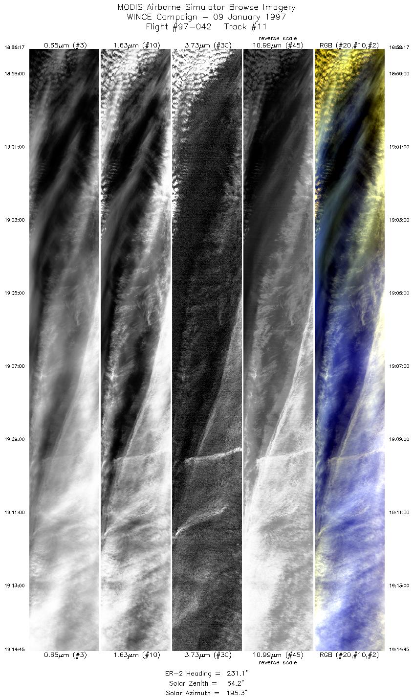
| 11 |
18:58-19:14 |
231 |
44.81-43.76 |
86.79-88.30 |
6157 |
~20000 |
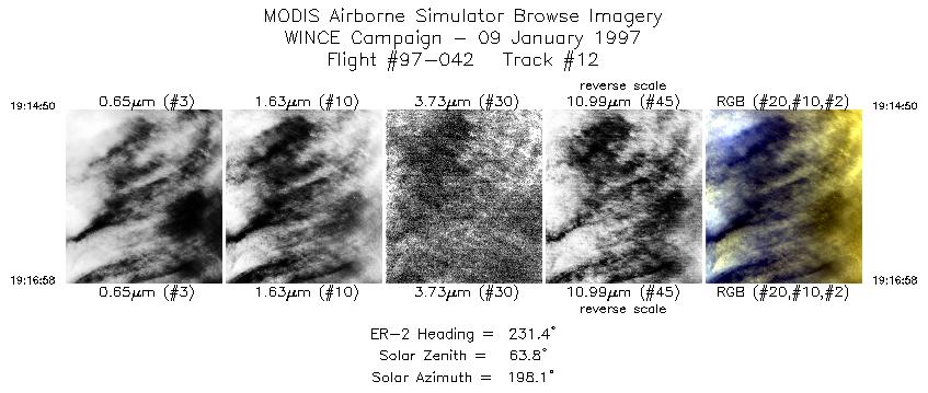
| 12 |
19:14-19:16 |
231 |
43.75-43.60 |
88.30-88.49 |
798 |
~20000 |
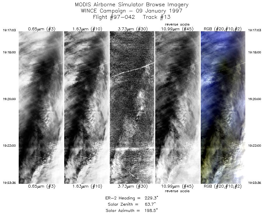
| 13 |
19:17-19:23 |
229 |
43.60-43.13 |
88.50-89.06 |
2449 |
~20000 |
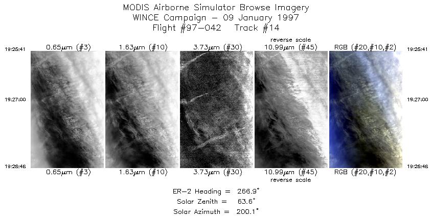
| 14 |
19:25-19:28 |
267 |
43.07-43.06 |
89.29-89.66 |
1154 |
~20000 |
|
Images 01 through 14 in sequence |
Level-1B Data Distribution
NASA GSFC Earth Sciences (GES) Data Center
NASA DAAC's
Additional Information
|
Take off at 1600 UTC. ER-2 landed at MSN at 2020 UTC.
ER-2 left Madison and flew NE to north of the Lake Huron, then southeastward over overcast conditions into central Ohio where there
were cloud-free snow and winter vegetation ground scenes. The ER-2 then flew banded cirrus scenes (with snowcover) toward
southern Lake Michigan . Then the ER-2 flew up to the northern end of Lake MI in overcast conditions. The ER-2 then returned to
Madison where it overflew SSEC in overcast conditions and then went into descent. Overpass of SSEC on 270 heading at 1927 UTC was overcast with variably thick mid to high cloud (sun disk visible thru clouds at times
from the ground). All ground instrumentation operative during SSEC overpass.
|
|
|
|