
|
Sample Image

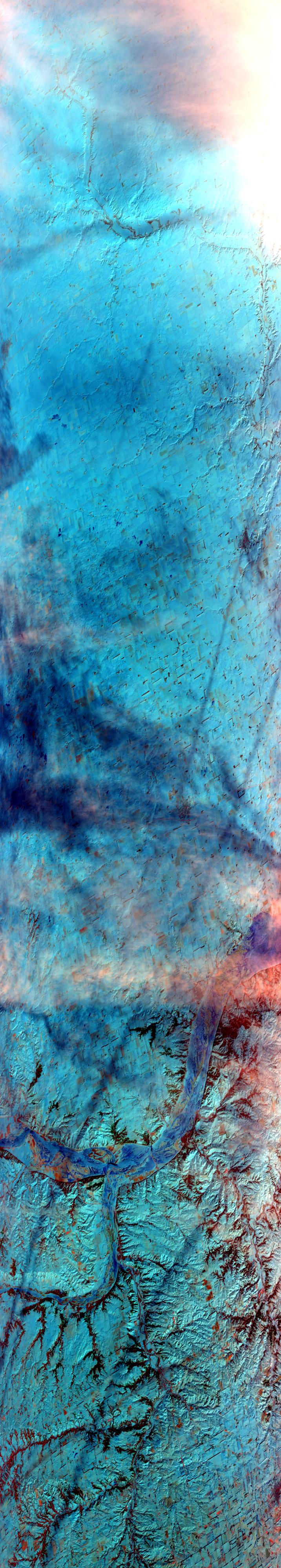
28 January 1997
Track #03
scanlines 1 - 4000


Flightline begins over the frozen James River, South Dakota. Proceeds southward over snow covered, Midwestern plains to the confluence of the Niobrara and Missouri Rivers, in the Niobrara State Park.
R: 2.15 microns
G: 0.95 microns
B: 0.65 microns
|
|
Summary Information
Date: January 28, 1997
ER-2 Flight Number: 97-041
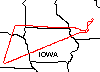
Location: Upper Midwest
Principal Investigator: Dr. Paul Menzel (Univ of Wisconsin)
Additional Sensors: HIS, CLS, MIR, 12" and 6" RC-10 (NC)
Mission Objectives: Test ER-2 instrument performance/integration. Underfly ADEOS IMG instrument. Overfly Space Science instrumentation (HSRL, AERI,
Classonde, Nolin snow measurements) at end of flight.
Level-1B Processing Information
Level-1B Data processed by: Ames Research Center
Level-1B Data Version: #10
Level-1B Configuration: (sample file)
Calibration Type: Final
Calibration Version: WINCE 1.0
Temperature Adjustment: No
Status: Completed with final calibration
|
|
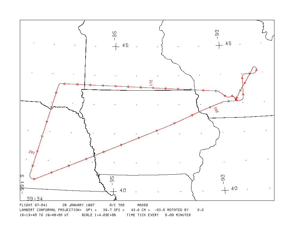
Flight Track Map

|
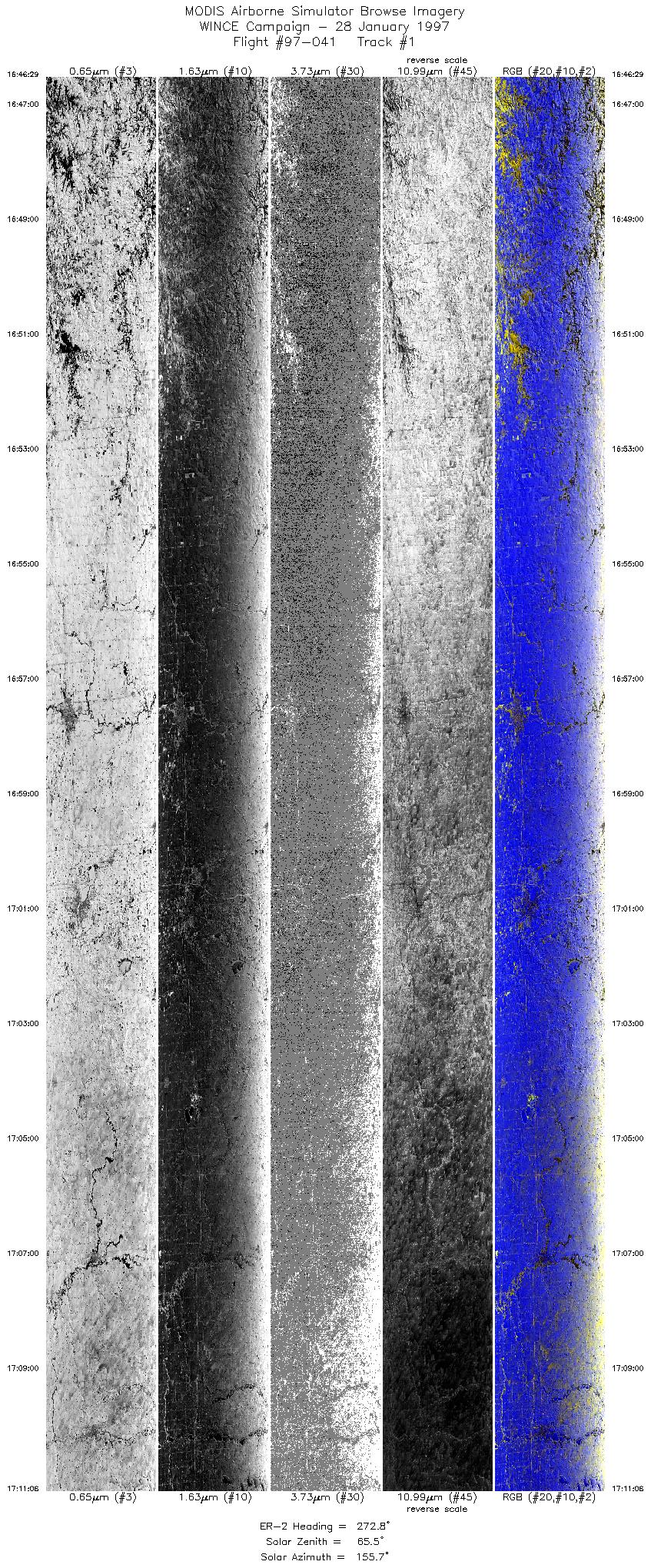
Level-1B Browse Imagery
Straight Line Flight Tracks: 11
Scanlines Processed: 52587
Solar Azimuth and Zenith Angles
|
Browse Images
|
Click on the Flight Track number to load images.
Lat/Lon ranges are for the BEG-END scanline nadir pixels.
|
Flight
Track |
Time_Span
(GMT) |
Heading
(Deg) |
Lat_Range
(Deg_N) |
Lon_Range
(Deg_W) |
Length
(Scanlines) |
Altitude
(Meters) |
| 1 |
16:46-17:11 |
273 |
43.53-43.64 |
91.67-94.58 |
9202 |
~20000 |
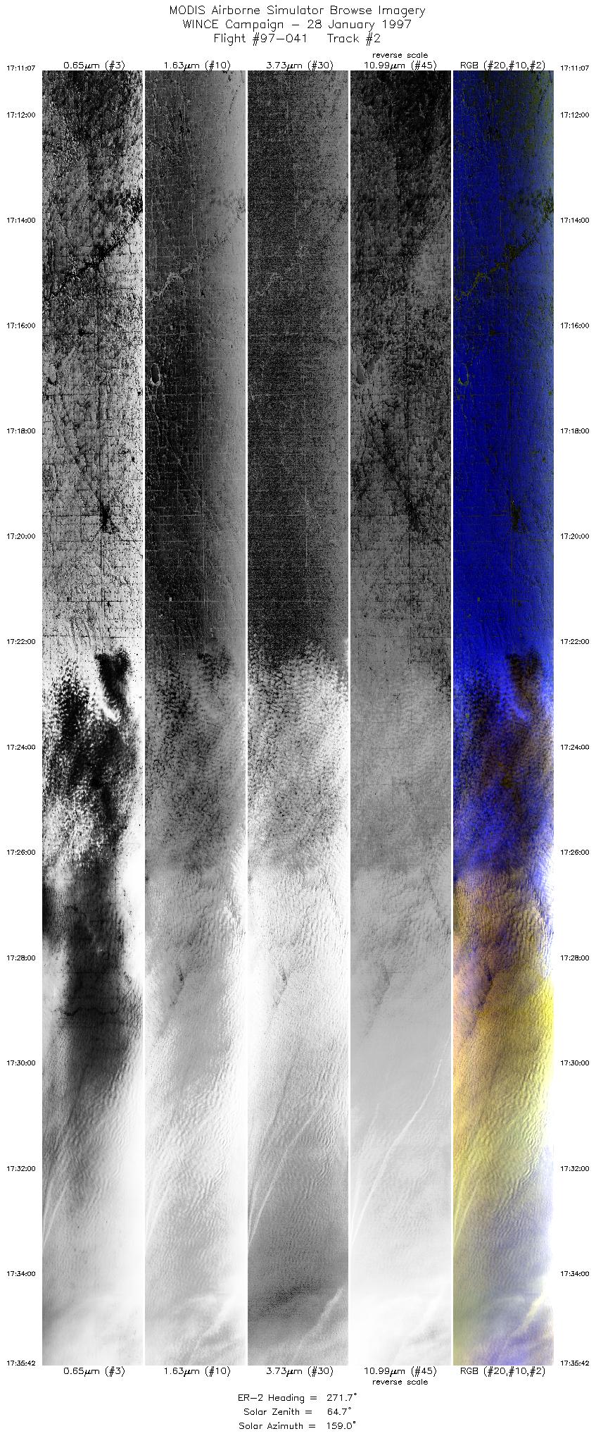
| 2 |
17:11-17:35 |
272 |
43.64-43.67 |
94.57-97.57 |
9191 |
~20000 |
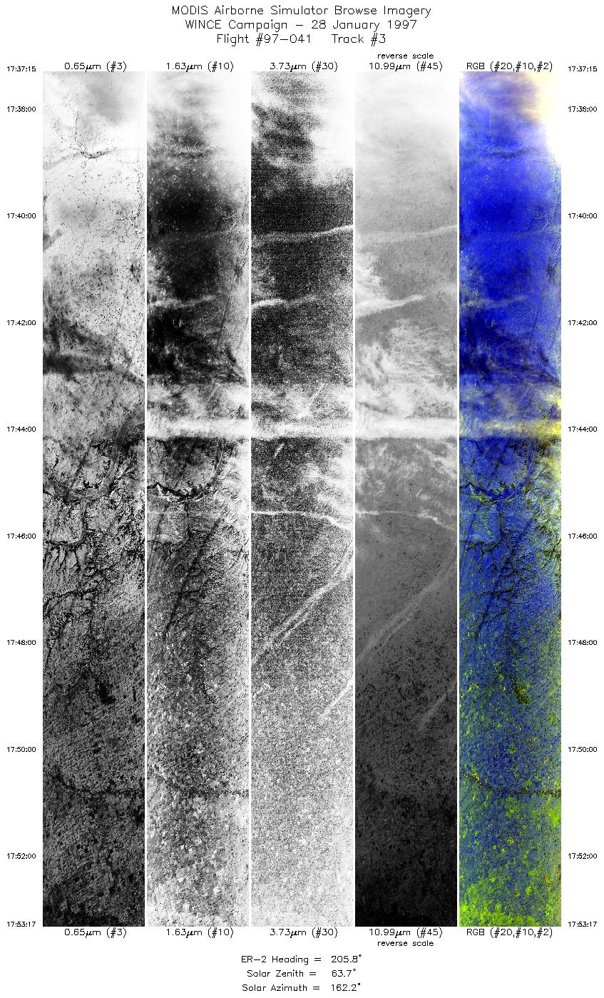
| 3 |
17:37-17:53 |
206 |
43.57-41.93 |
97.71-98.29 |
5995 |
~20000 |
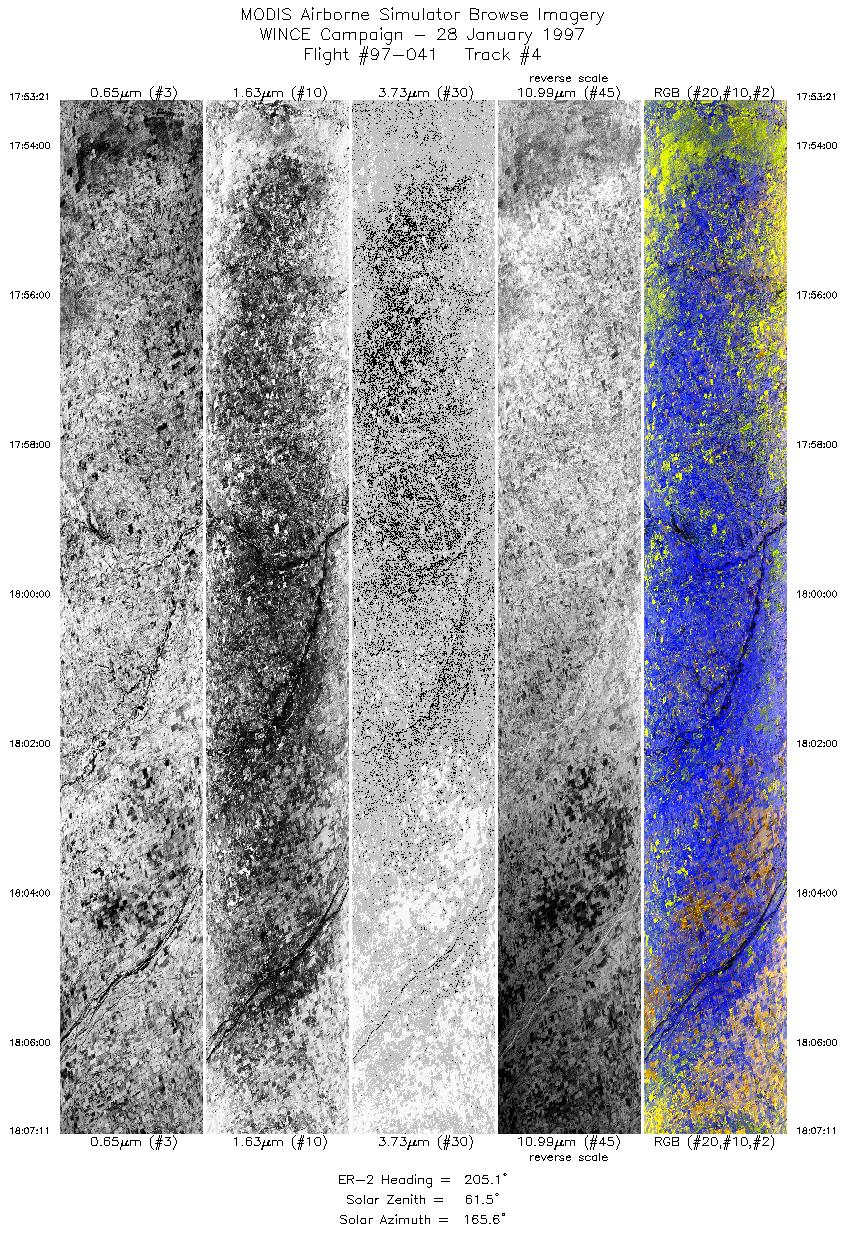
| 4 |
17:53-18:07 |
205 |
41.92-40.49 |
98.30-98.79 |
5171 |
~20000 |
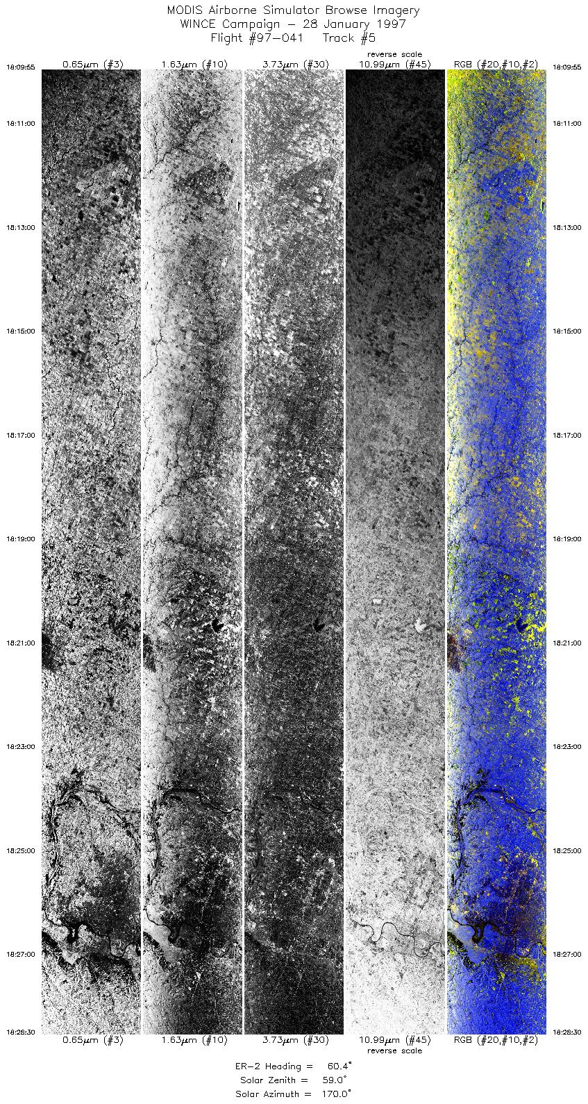
| 5 |
18:09-18:28 |
60 |
40.36-41.33 |
98.49-95.61 |
6947 |
~20000 |
| 6 |
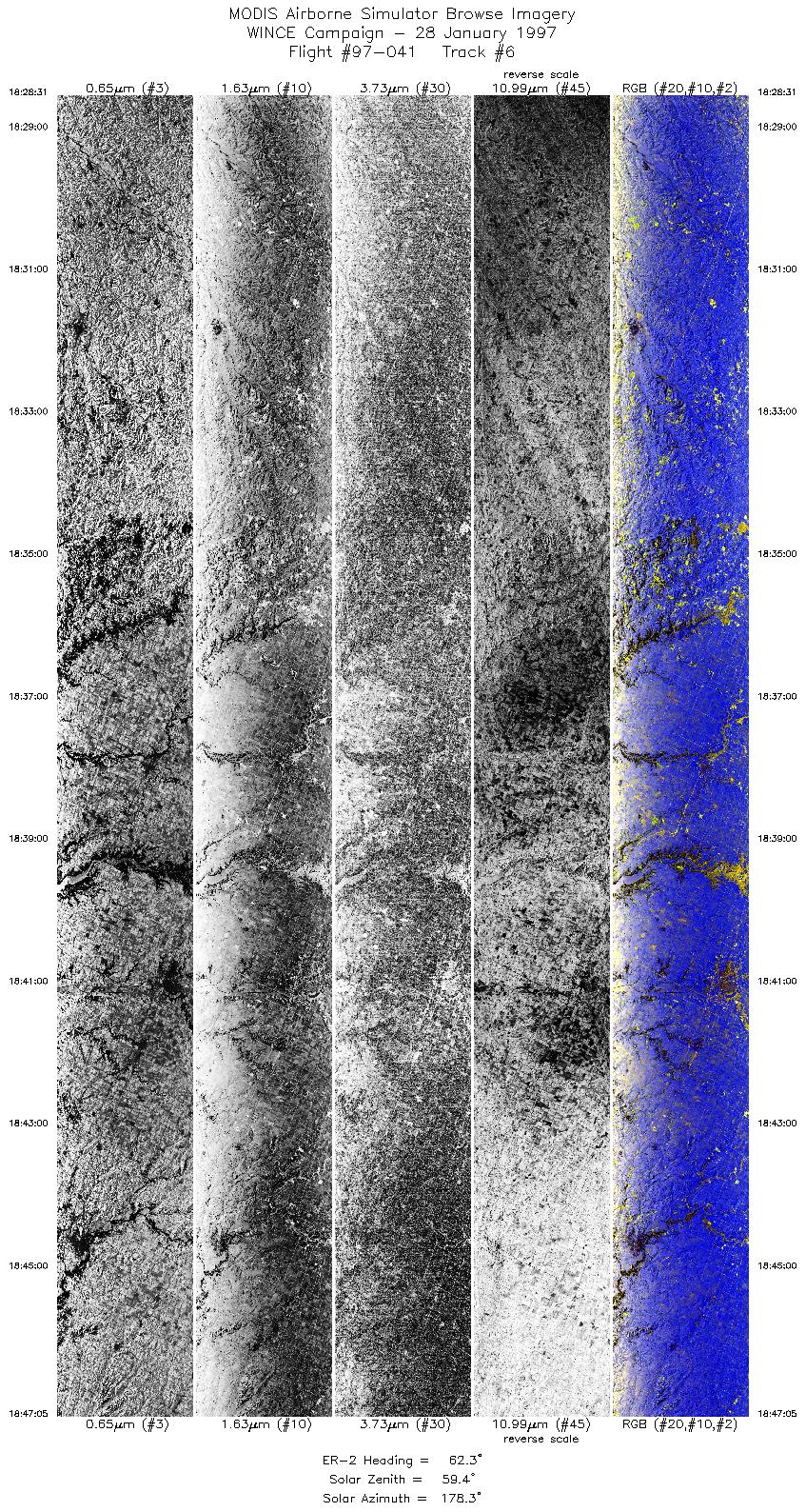
18:28-18:47 |
62 |
41.33-42.26 |
95.61-92.58 |
6940 |
~20000 |
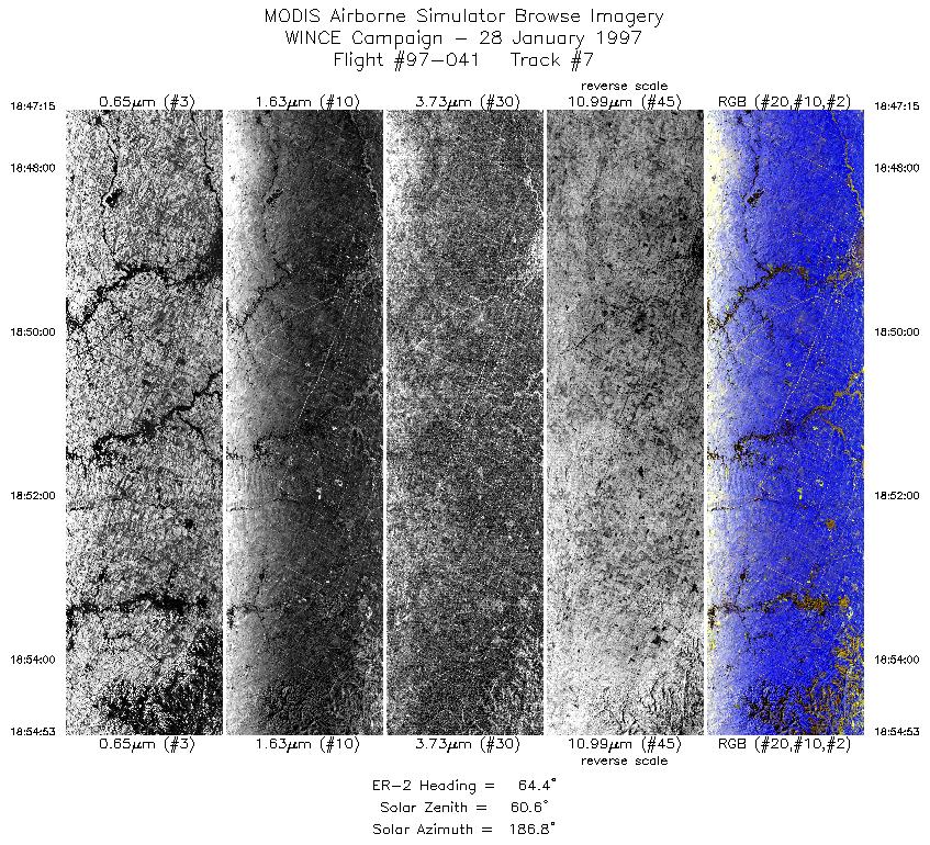
| 7 |
18:47-18:54 |
64 |
42.26-42.67 |
92.54-91.27 |
2853 |
~20000 |
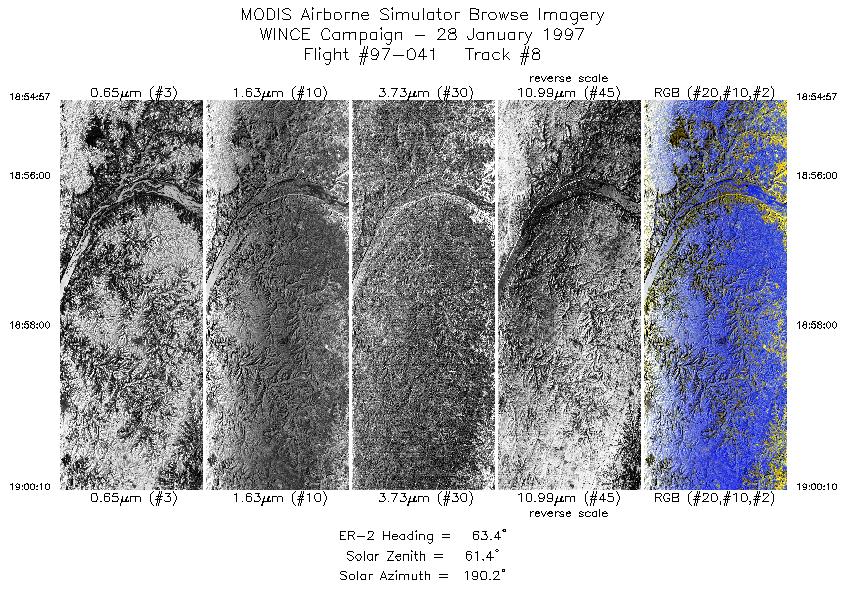
| 8 |
18:54-19:00 |
63 |
42.68-42.94 |
91.26-90.37 |
1951 |
~20000 |
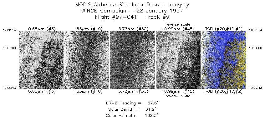
| 9 |
19:00-19:02 |
68 |
42.94-43.06 |
90.35-89.92 |
928 |
~20000 |
| 10 |
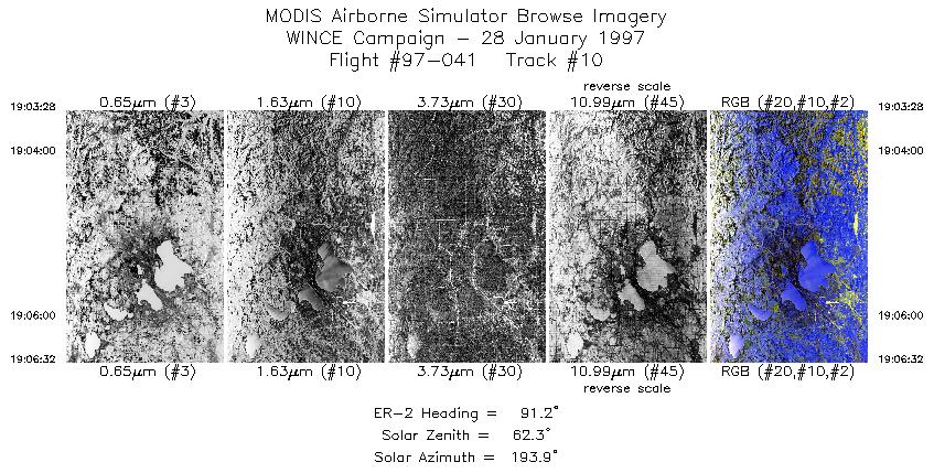
19:03-19:06 |
91 |
43.07-43.07 |
89.78-89.21 |
1147 |
~20000 |
| 11 |
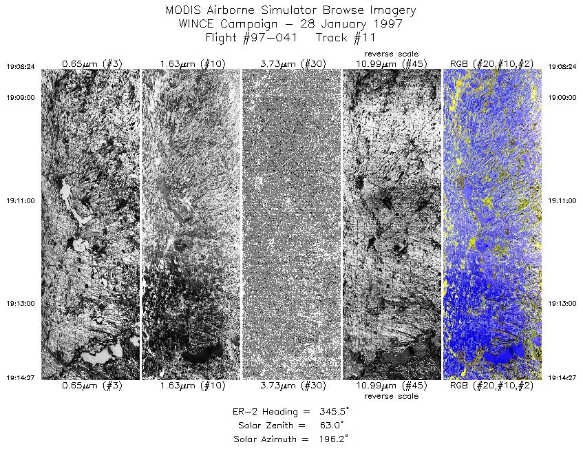
19:08-19:14 |
345 |
43.19-43.88 |
88.96-88.96 |
2262 |
~20000 |
|
Images 01 through 11 in sequence |
Level-1B Data Distribution
NASA GSFC Earth Sciences (GES) Data Center
NASA DAAC's
Additional Information
|
Take off at 1620 UTC. ER-2 landed at MSN at 2000 UTC. ER-2 underflew portion of ADEOS satellite (IMG turned on) over NE/SD
region. Overpass at 1733 UTC. Overpass track between 43:40N, 97:40W to 39:50N, 99:00W. ER-2 didn't arrive at first checkpoint until
1736 UTC because of extreme headwinds at 50mb. Sky conditions during overpass were cirrus at northern end and apparently clear in
southern 3/4 of overpass. Pilot broke off satellite underpass about 35mi from southern endpoint. Surface appeared snow covered, with
amounts decreasing toward the end of the track, during the underpass of the ADEOS. Overpass of SSEC at 190530. UTC was cloud free.
All ground instrumentation operative during SSEC overpass.
Port 3 data appears degraded at start of flight. Data quality increases as flight proceeds, but again degrades
toward the end of the flight. Probably a result of a "soft" port 3 dewar; in other words low LN2 pressure.
|
|
|
|