


CAMPAIGN SUMMARY INFORMATION
|
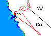
Pacific Rim 2000 Dates: 21 July - 23 October, 2000 Location: Multiple Locations Principal Investigators: NASA / various International Research Institutions Aircraft: NASA 817 DC-8 (Armstrong Flight Research Center) Additional Sensors: AirSAR Objective: The Pacific Rim 2000 (PacRim II) Campaign seeks to gather geographic and atmospheric data for coastal analysis, oceanography, forestry, geology, hydrology and archaeology of various regions using data from the Airborne Synthetic Aperture Radar (AirSAR) and MODIS/ASTER Airborne Simulator (MASTER) instruments. This is the first campaign to operate both the AIRSAR and MASTER instruments simultaneously, providing scientists with additional insight on how topography affects the vegetation and land surface temperature as seen in the MASTER data. |
|
|
Processing Information Flights Processed: 46 Total Flight Tracks: 411 Total Scanlines: 2,243,616 Level-1B Version: 2 Calibration Version: 1 Status: Level-1B Data available |
|
|
MASTER Spectral Information Spectral Band Configuration Spectral Response Function Table |
|
|
Related Web Sites NASA Airborne Science Program |
|
 Flight: 00-020-02
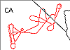 Flight: 00-020-03
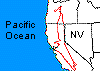 Flight: 00-020-05
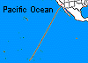 Flight: 00-020-06
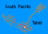 Flight: 00-020-07
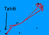 Flight: 00-020-08
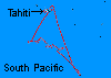 Flight: 00-020-09
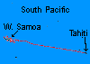 Flight: 00-020-10
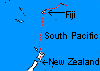 Flight: 00-020-11
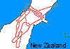 Flight: 00-020-12
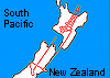 Flight: 00-020-13
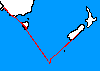 Flight: 00-020-14
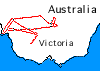 Flight: 00-020-15
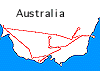 Flight: 00-020-16
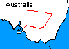 Flight: 00-020-17
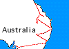 Flight: 00-020-18
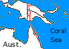 Flight: 00-020-19
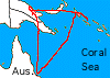 Flight: 00-020-20
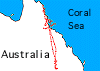 Flight: 00-020-21
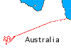 Flight: 00-020-22
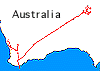 Flight: 00-020-23
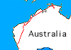 Flight: 00-020-24
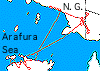 Flight: 00-020-25
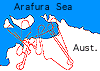 Flight: 00-020-26
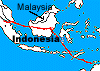 Flight: 00-020-27
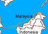 Flight: 00-020-28
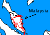 Flight: 00-020-29
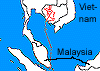 Flight: 00-020-30
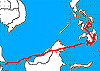 Flight: 00-020-31
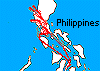 Flight: 00-020-32
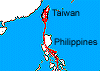 Flight: 00-020-33
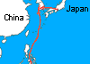 Flight: 00-020-34
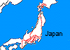 Flight: 00-020-35
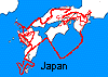 Flight: 00-020-36
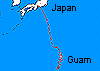 Flight: 00-020-37
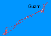 Flight: 00-020-38
 Flight: 00-020-39
 Flight: 00-020-40
 Flight: 00-020-41
 Flight: 00-020-42
 Flight: 00-020-43
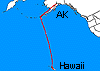 Flight: 00-020-44
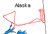 Flight: 00-020-45
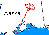 Flight: 00-020-46
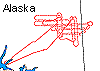 Flight: 00-020-47
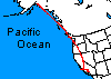 Flight: 00-020-48
PACIFIC RIM 2000


| Sample Imagery |
| Click image for full resolution |
|
Flight: 00-020-22 Finke River, Australia |

|
|
R: 2.22µm G: 1.61µm B: 0.54µm |


