Flight: 00-020-40
Date: October 11, 2000
Aircraft: DC-8, Aircraft Number 817
Deployment: PACRIM II
Flight Location: Puuoo, Kilauea, Mauna Ulu, Saddle Rd, Mauna Loa, Oahu, Kahoolawe, Maunua Kea; HI
Principal Investigator: NASA (PDC, Mason, Zebker, NIMA, Hensley, Mouginis-Mark, Hook)
Additional Sensors: AirSAR
|
Data Evaluation
Dropped sacanlines in each flightline.
Fair amount of spikes (bad pixel values) in video data, which correspond to the first band of each QUAD ADC card (channels 1,5,9,11,15,19,24,25).
|
Processing Information
Level-1B Data in HDF format is available
Flight Line Summary
Spectral Band Configuration
Spectral Response Function Table
Spectral Response Function (text)
|
Browse Imagery
Flight Tracks: 24
Scanlines: 126143
|
Browse Imagery Table
|
Click a Flight Track number to view a quicklook image
Lat/Lon ranges are for the BEG-END scanline nadir pixels
|
Flight
Track |
Time Span
(UTC) |
Heading
(Deg) |
Lat Range
(Deg N) |
Lon Range
(Deg W) |
Length
(Scanlines) |
Altitude
(Meters) |
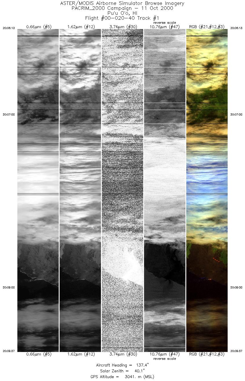
| 1 |
20:06 - 20:09 |
137.7 |
19.538 - 19.256 |
155.246 - 154.985 |
5567 |
3041 |
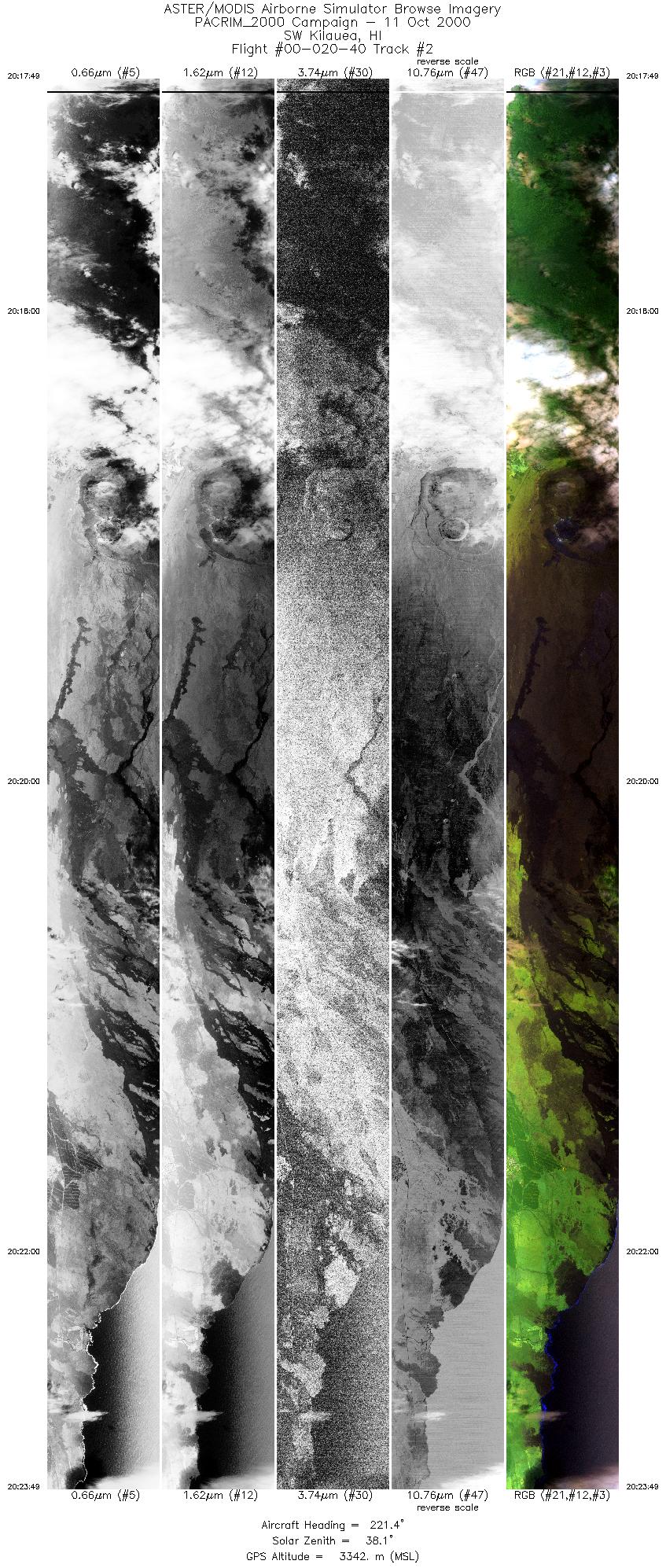
| 2 |
20:17 - 20:23 |
217.5 |
19.563 - 19.078 |
155.157 - 155.537 |
8972 |
3344 |
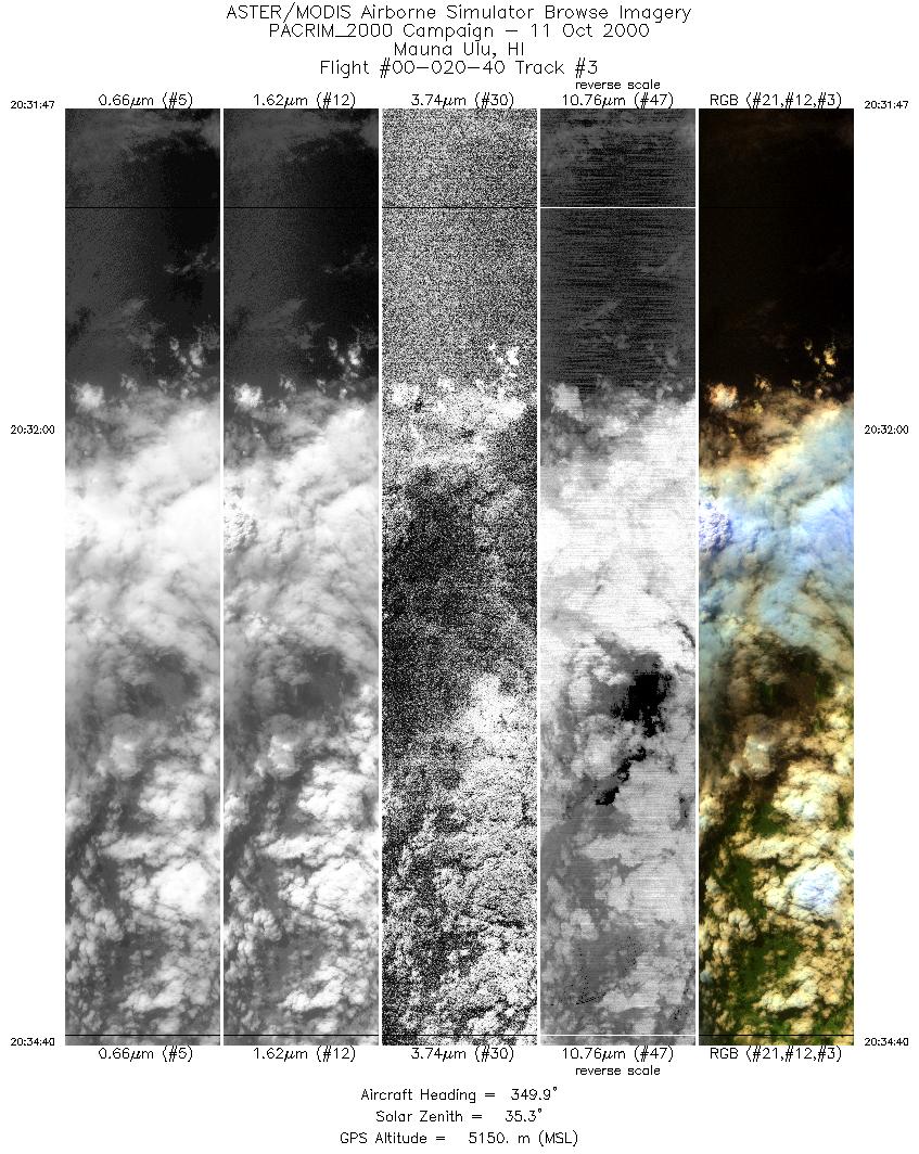
| 3 |
20:31 - 20:34 |
349.7 |
19.126 - 19.458 |
155.141 - 155.215 |
4324 |
5149 |
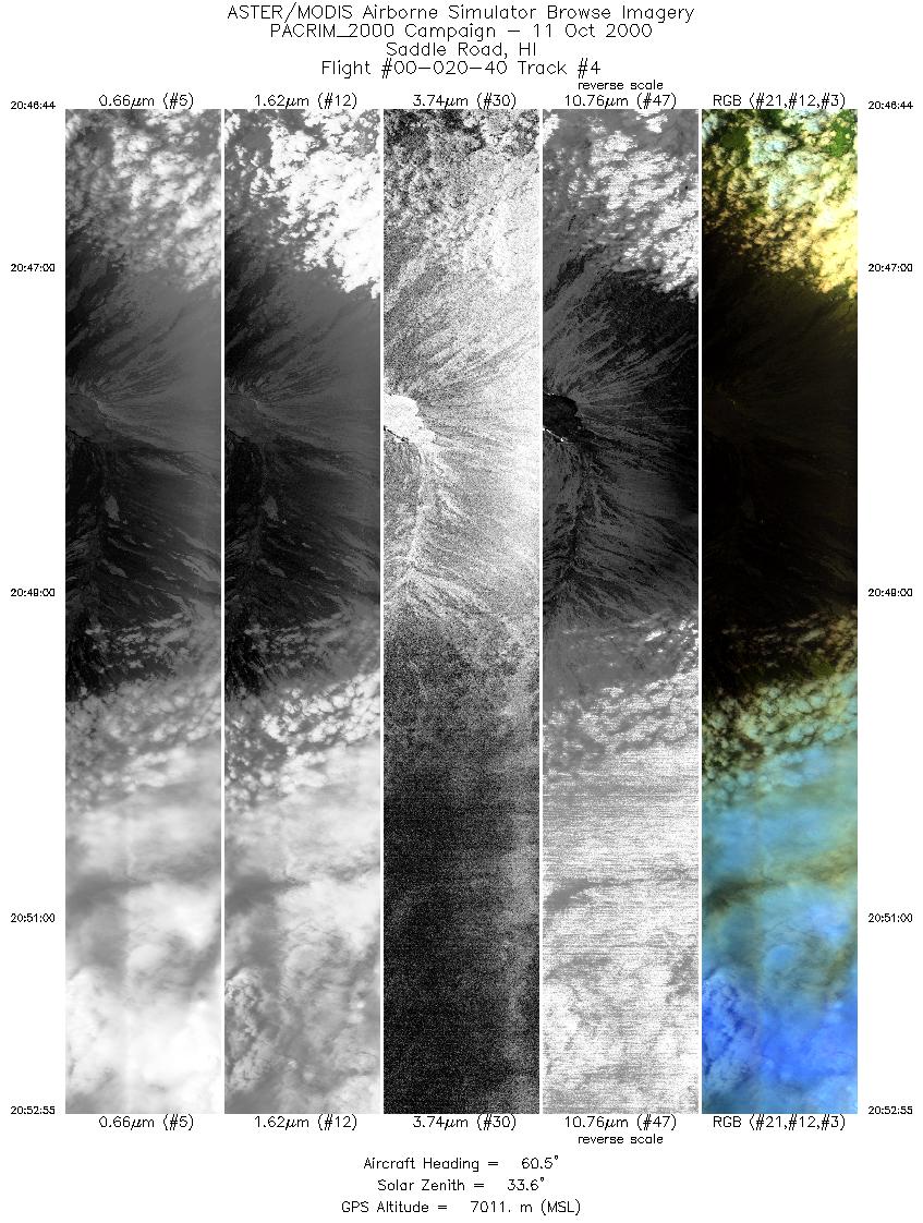
| 4 |
20:46 - 20:52 |
61.1 |
19.390 - 19.728 |
155.813 - 155.128 |
4612 |
7010 |
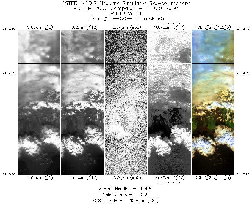
| 5 |
21:12 - 21:15 |
145.2 |
19.576 - 19.253 |
155.196 - 154.962 |
2457 |
7926 |
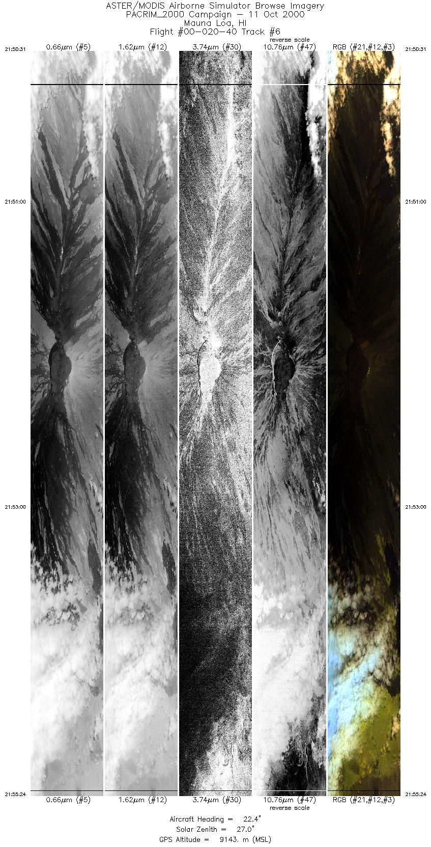
| 6 |
21:50 - 21:55 |
23.7 |
19.244 - 19.770 |
155.712 - 155.448 |
7316 |
9142 |
| 7 |
22:15 - 22:19 |
69.6 |
20.383 - 20.519 |
156.834 - 156.395 |
2809 |
6102 |
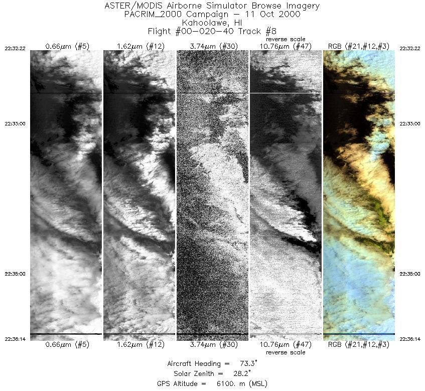
| 8 |
22:32 - 22:36 |
69.9 |
20.442 - 20.601 |
156.881 - 156.431 |
2896 |
6109 |
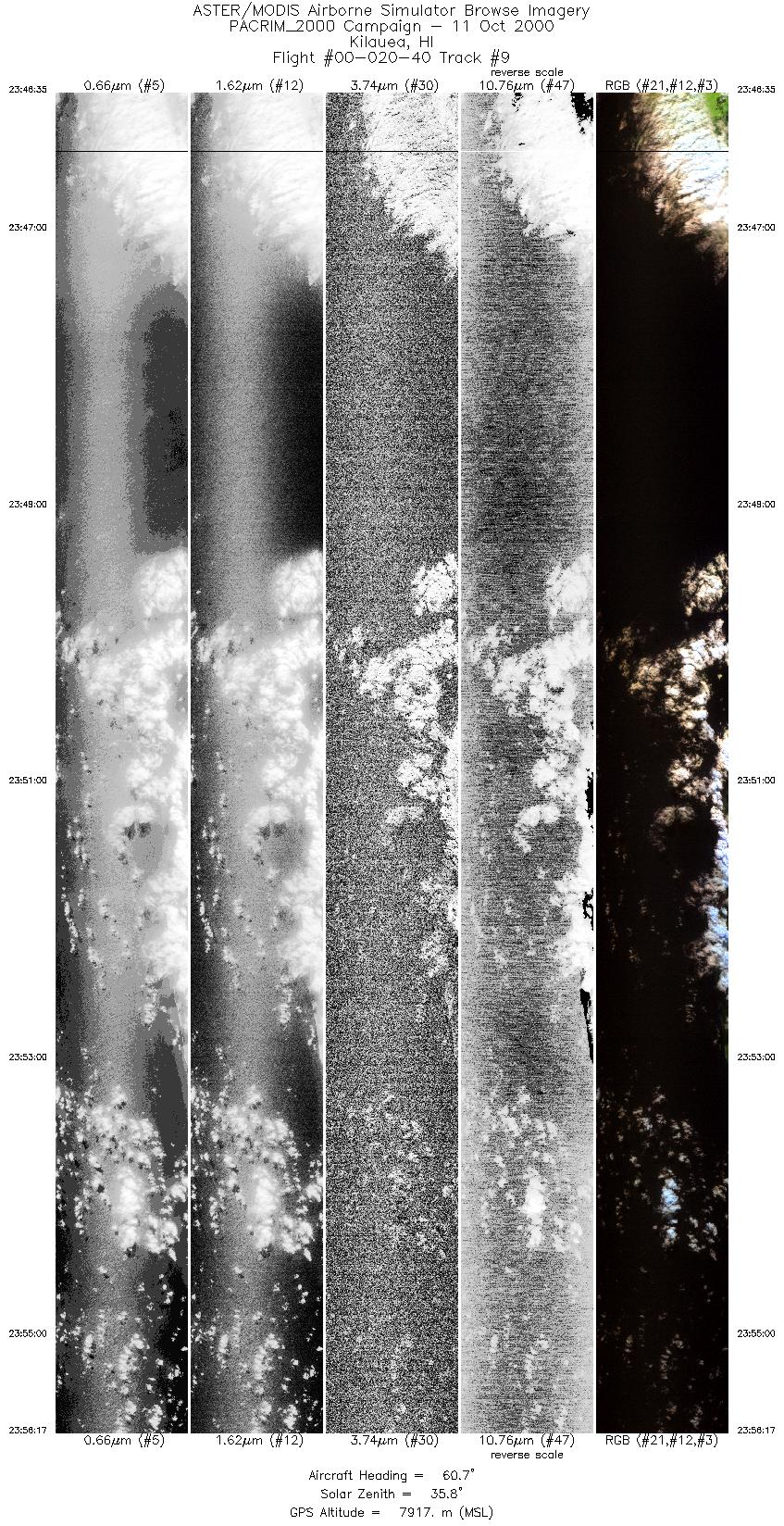
| 9 |
23:46 - 23:56 |
61.1 |
18.954 - 19.471 |
155.646 - 154.609 |
7241 |
7915 |
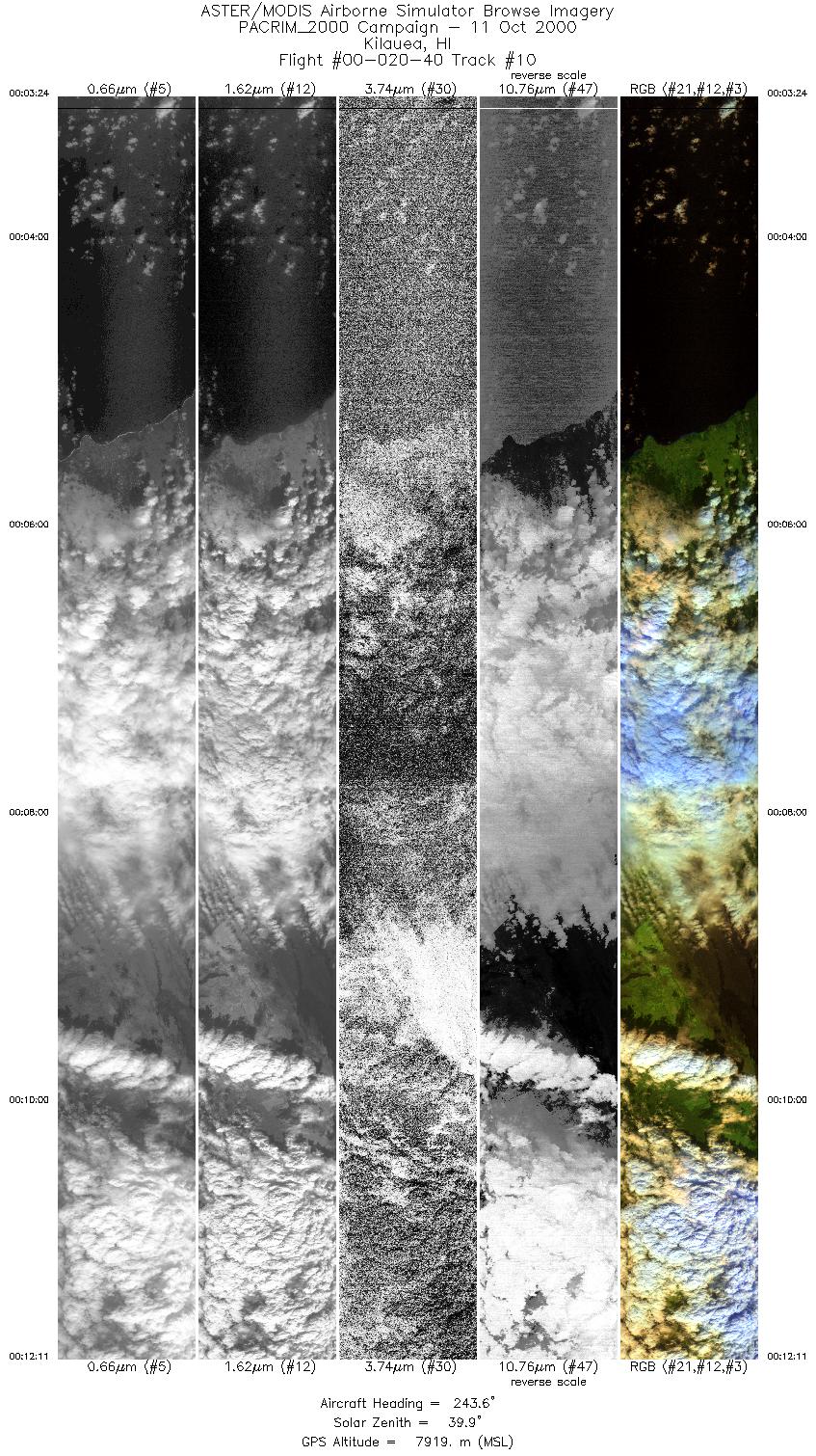
| 10 |
00:03 - 00:12 |
243.2 |
19.724 - 19.234 |
154.653 - 155.642 |
6552 |
7915 |
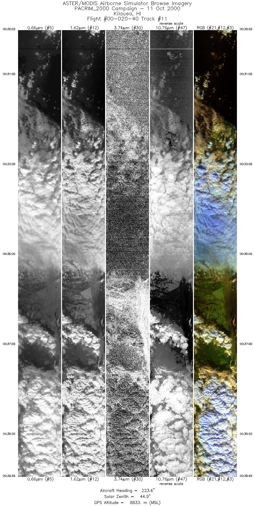
| 11 |
00:30 - 00:39 |
224.9 |
19.917 - 19.103 |
154.846 - 155.697 |
7418 |
8830 |
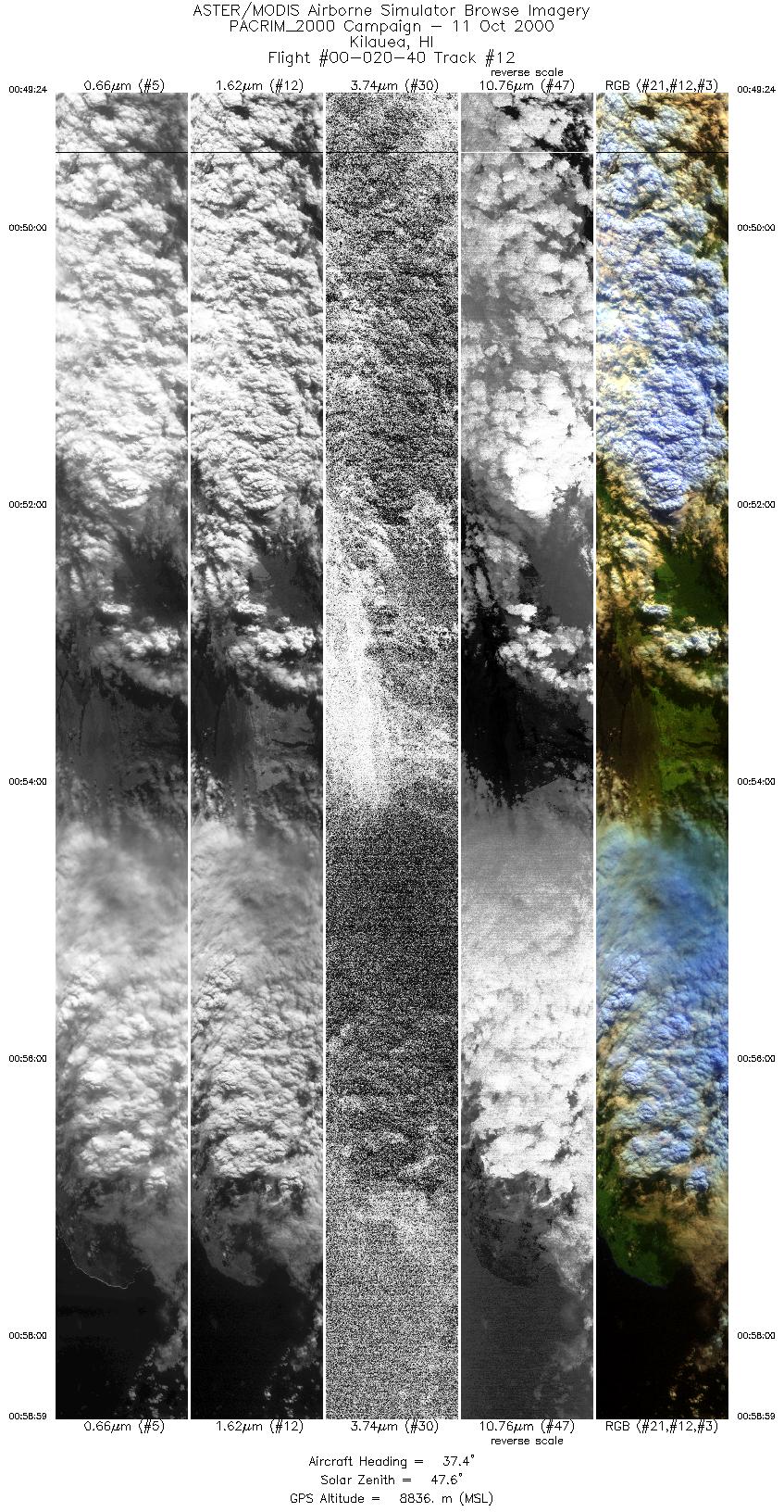
| 12 |
00:49 - 00:58 |
40.5 |
18.990 - 19.811 |
155.774 - 154.921 |
7162 |
8831 |
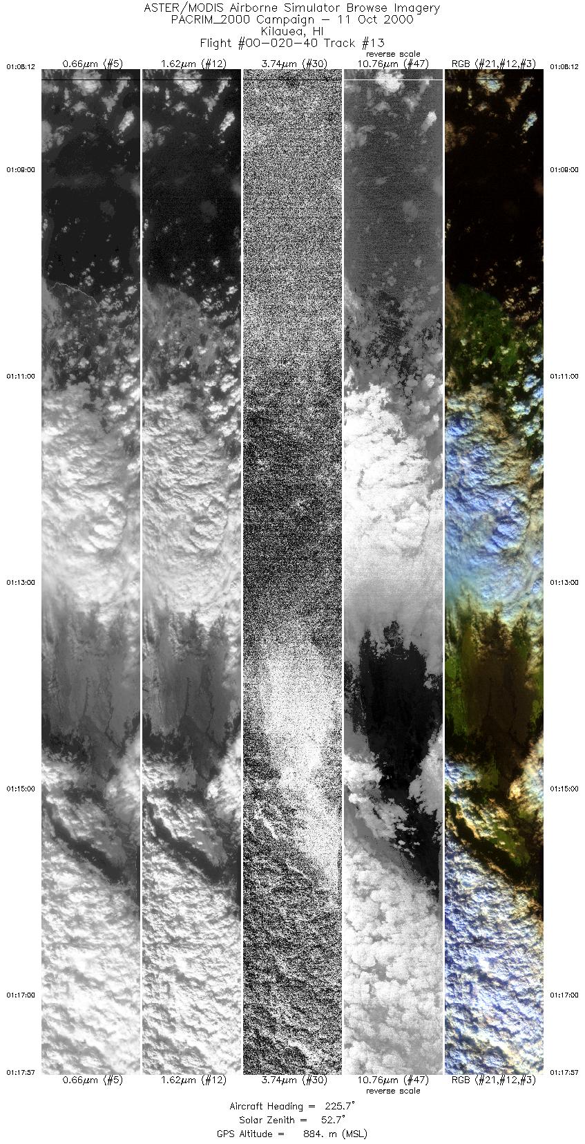
| 13 |
01:08 - 01:17 |
225.9 |
19.878 - 19.055 |
154.778 - 155.646 |
7276 |
3914 |
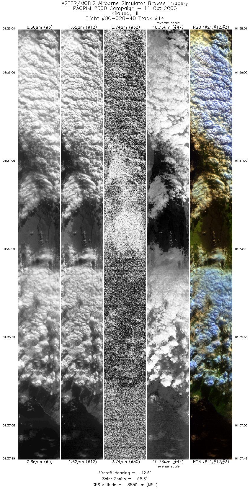
| 14 |
01:28 - 01:37 |
43.2 |
18.966 - 19.759 |
155.706 - 154.871 |
7285 |
8831 |
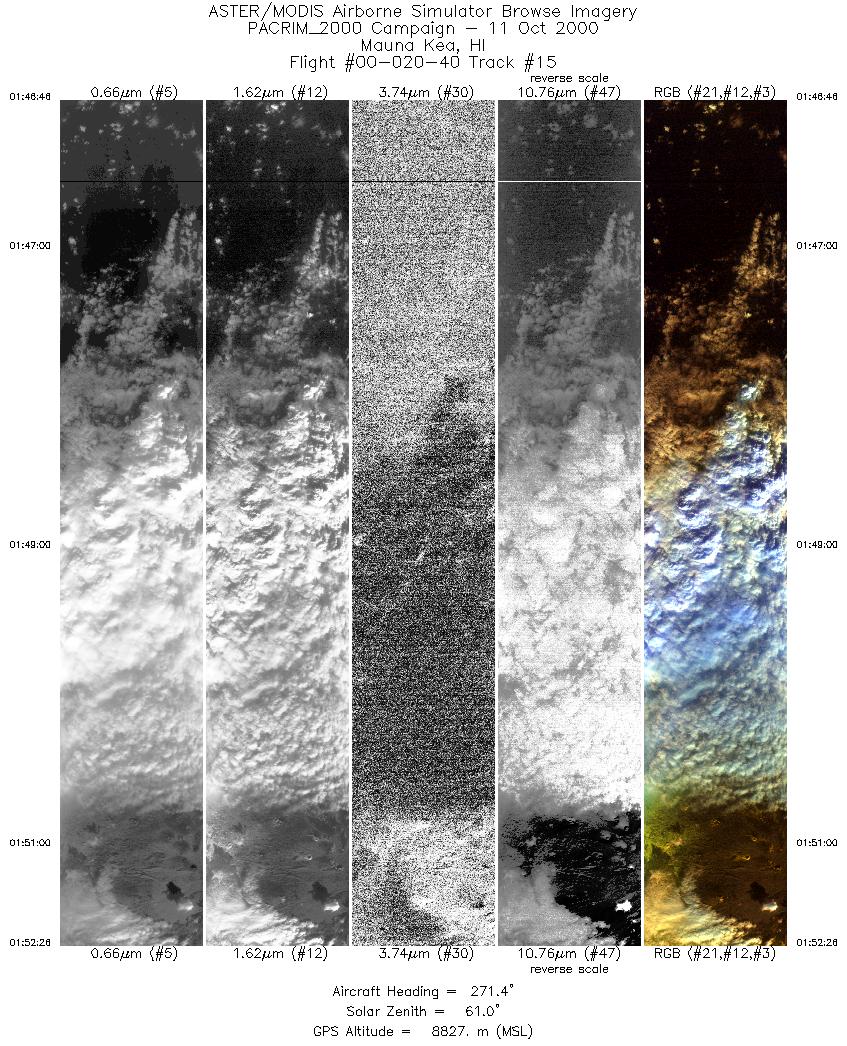
| 15 |
01:46 - 01:52 |
271.2 |
19.875 - 19.875 |
154.823 - 155.522 |
4232 |
8828 |
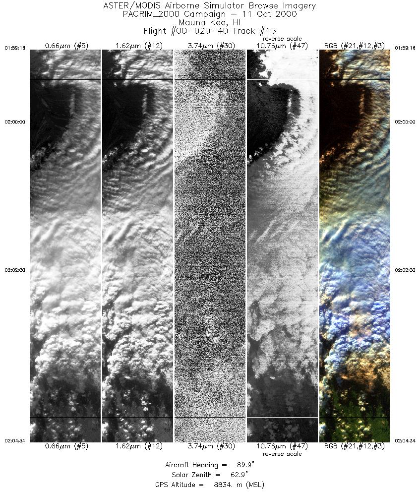
| 16 |
01:59 - 02:04 |
89.0 |
19.543 - 19.544 |
155.635 - 154.958 |
3963 |
8834 |
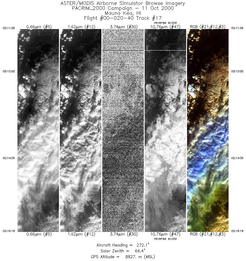
| 17 |
02:11 - 02:16 |
271.9 |
19.953 - 19.955 |
154.956 - 155.521 |
3496 |
8828 |
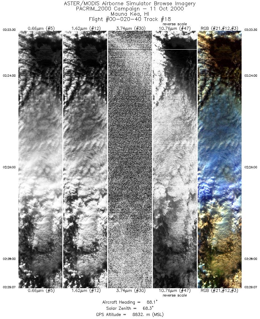
| 18 |
02:23 - 02:29 |
88.1 |
19.623 - 19.625 |
155.665 - 154.966 |
4182 |
8832 |
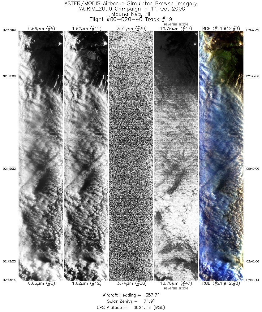
| 19 |
02:37 - 02:43 |
358.7 |
19.361 - 20.000 |
155.319 - 155.324 |
4035 |
8827 |
| 20 |
03:03 - 03:11 |
325.7 |
21.182 - 21.923 |
157.493 - 158.035 |
5710 |
7935 |
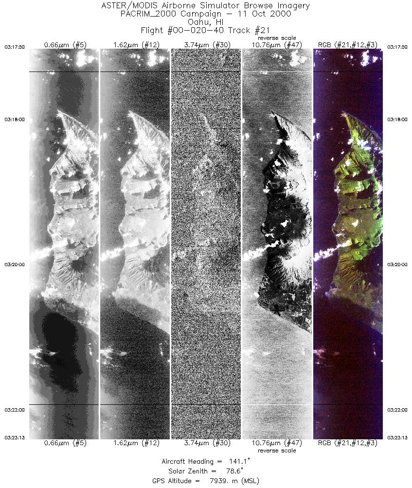
| 21 |
03:17 - 03:23 |
142.3 |
21.669 - 21.133 |
158.340 - 157.950 |
4017 |
7934 |
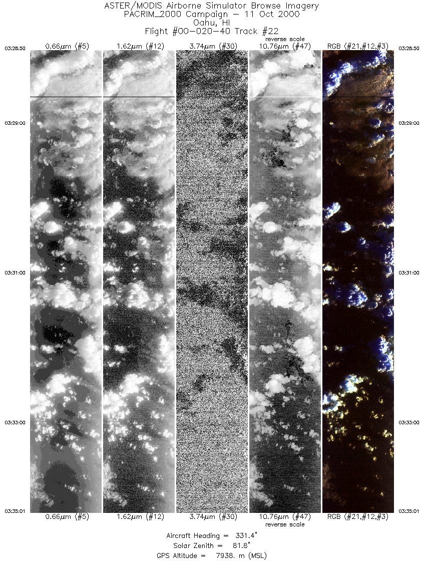
| 22 |
03:28 - 03:35 |
329.8 |
21.295 - 21.884 |
157.676 - 158.097 |
4621 |
7935 |
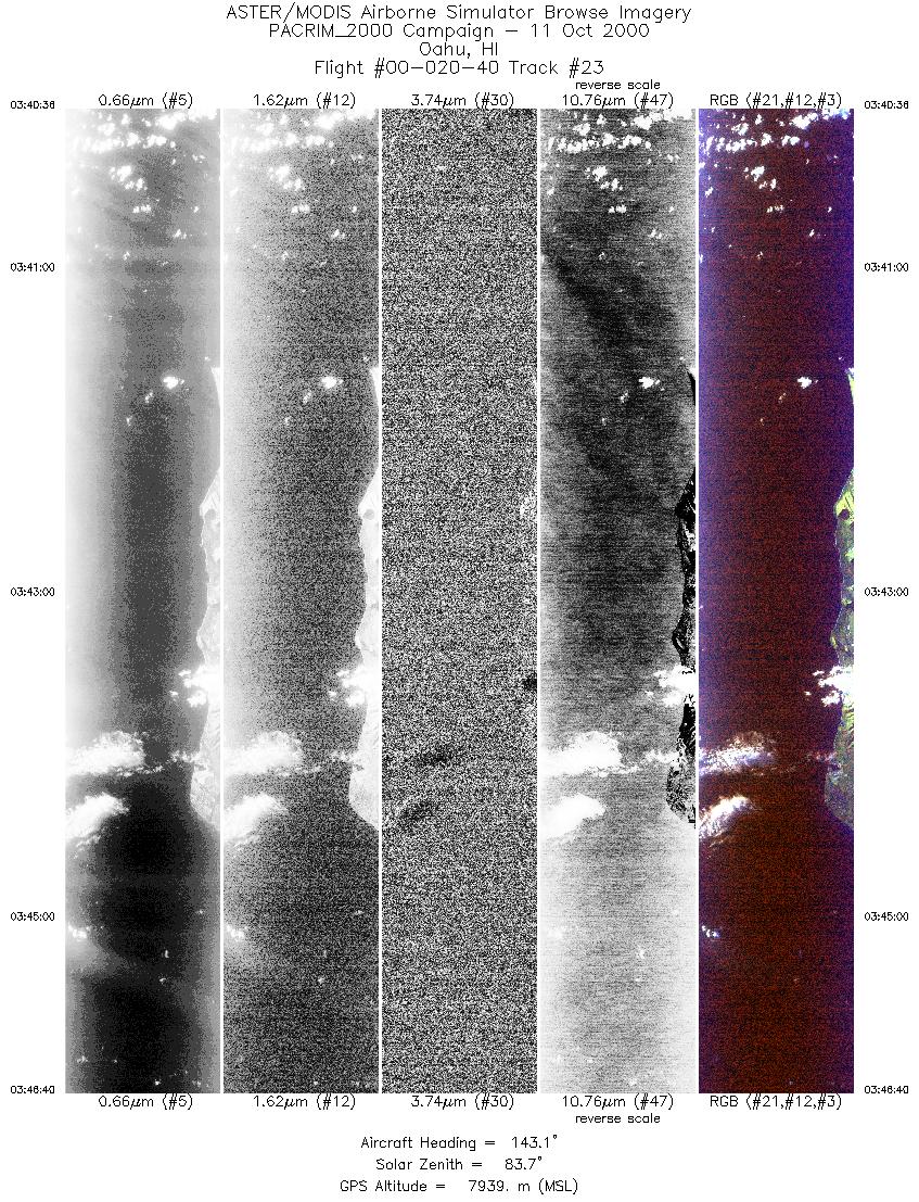
| 23 |
03:40 - 03:46 |
143.2 |
21.701 - 21.101 |
158.453 - 158.019 |
4536 |
7941 |
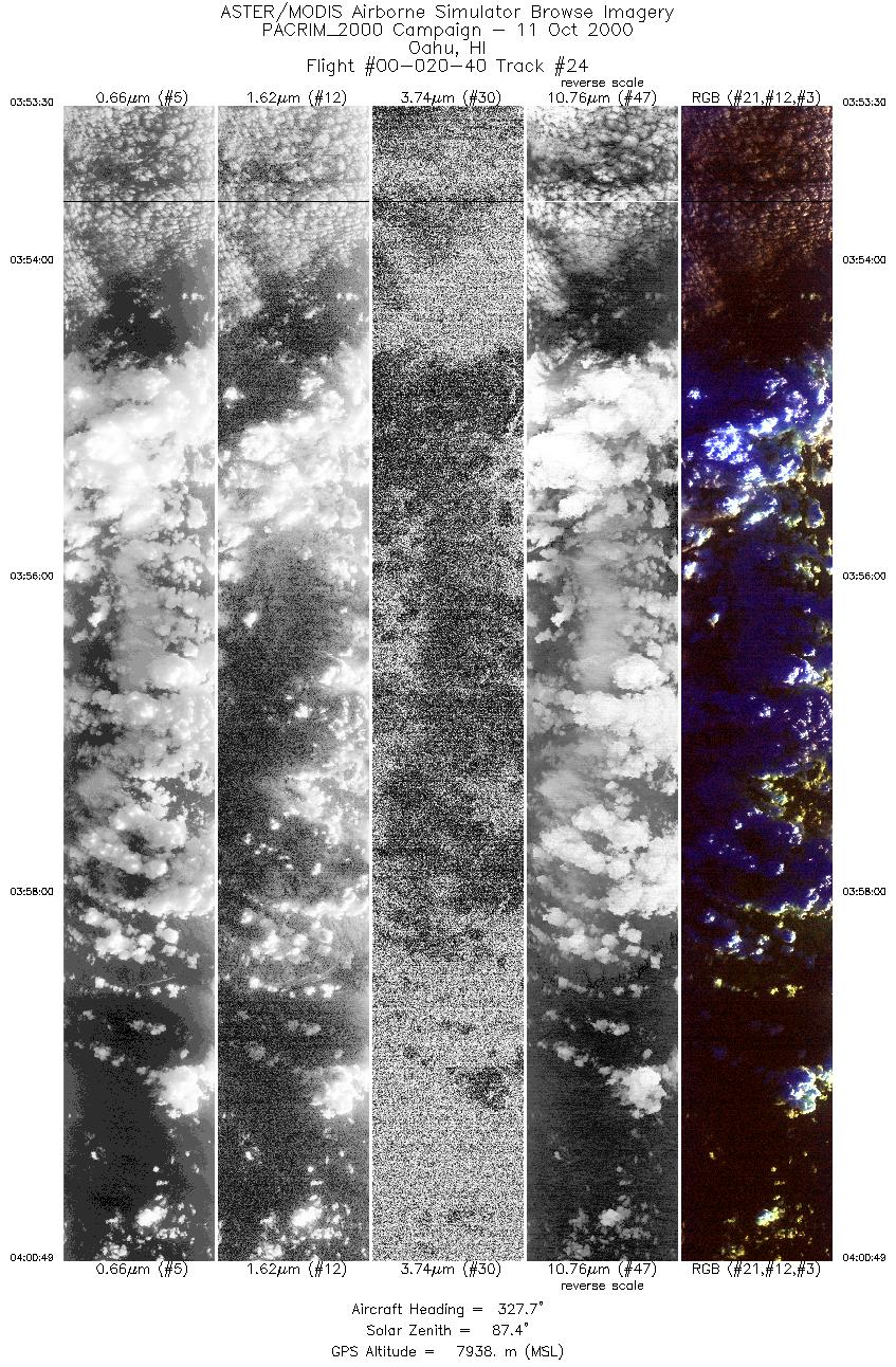
| 24 |
03:53 - 04:00 |
327.7 |
21.121 - 21.844 |
157.639 - 158.162 |
5464 |
7939 |
|


