Flight: 00-020-24
Date: September 09, 2000
Aircraft: DC-8, Aircraft Number 817
Deployment: PACRIM II
Flight Location: Cervantes, Panorama, Thangoo, Alligator River, Pt. Farewell; Australia
Principal Investigator: Cudahy, Hill, Milne (AUS); Hook (JPL)
Additional Sensors: AirSAR
|
Data Evaluation
Dropped sacanlines in each flightline.
Fair amount of spikes (bad pixel values) in video data, which correspond to the first band of each QUAD ADC card (channels 1,5,9,11,15,19,24,25).
|
Processing Information
Level-1B Data in HDF format is available
Flight Line Summary
Spectral Band Configuration
Spectral Response Function Table
Spectral Response Function (text)
|
Browse Imagery
Flight Tracks: 17
Scanlines: 105990
|
Browse Imagery Table
|
Click a Flight Track number to view a quicklook image
Lat/Lon ranges are for the BEG-END scanline nadir pixels
|
Flight
Track |
Time Span
(UTC) |
Heading
(Deg) |
Lat Range
(Deg S) |
Lon Range
(Deg E) |
Length
(Scanlines) |
Altitude
(Meters) |
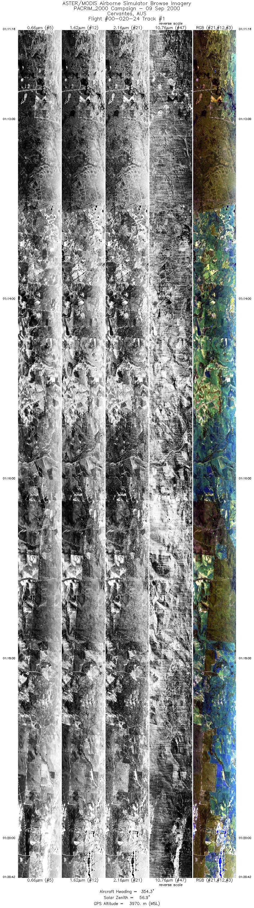
| 1 |
01:11 - 01:20 |
354.5 |
30.754 - 29.859 |
115.311 - 115.227 |
14099 |
3970 |
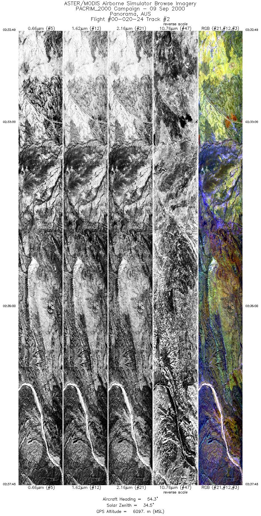
| 2 |
02:32 - 02:37 |
54.4 |
21.513 - 21.200 |
118.834 - 119.353 |
7373 |
6100 |
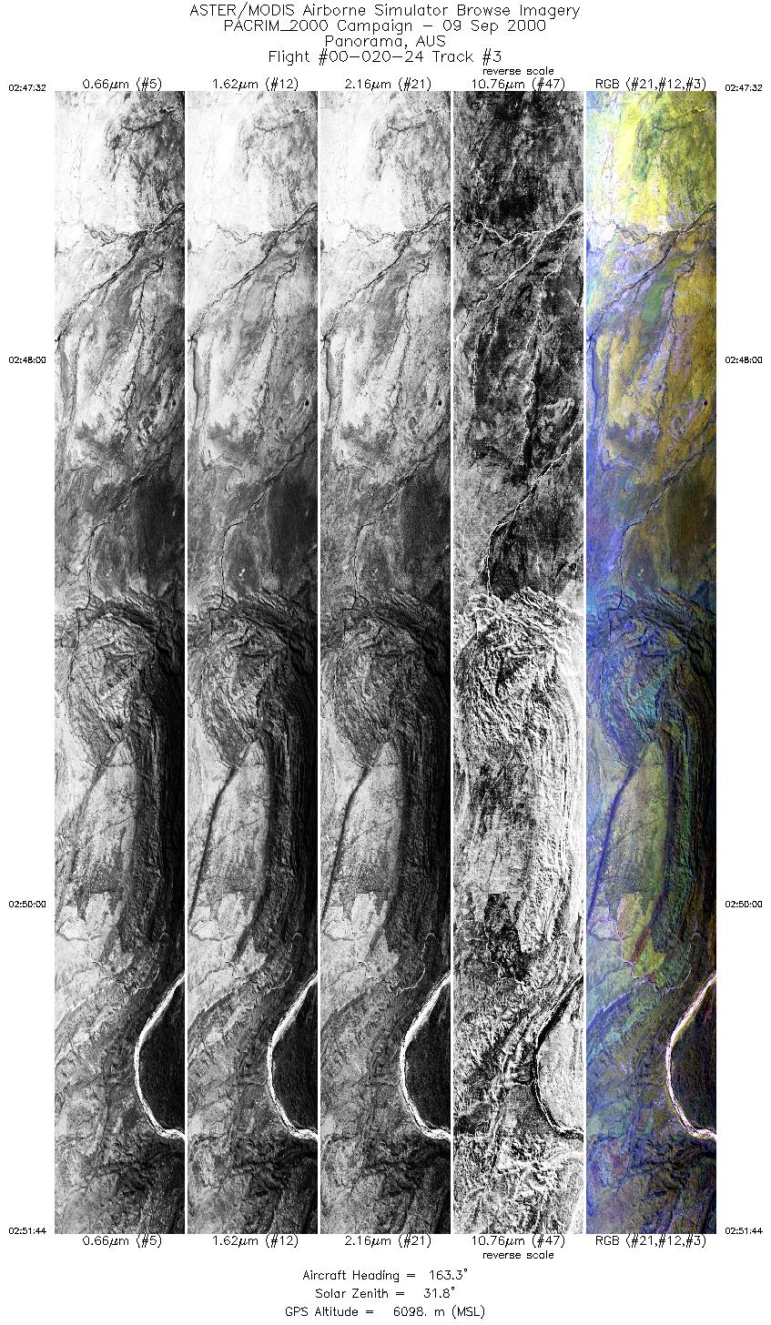
| 3 |
02:47 - 02:51 |
162.4 |
20.902 - 21.353 |
119.069 - 119.275 |
6283 |
6097 |
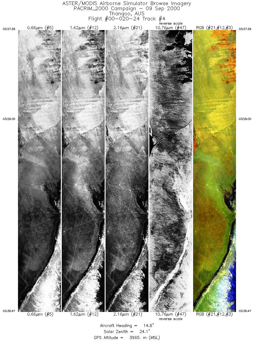
| 4 |
03:27 - 03:30 |
14.6 |
18.377 - 18.089 |
122.337 - 122.420 |
4696 |
3966 |
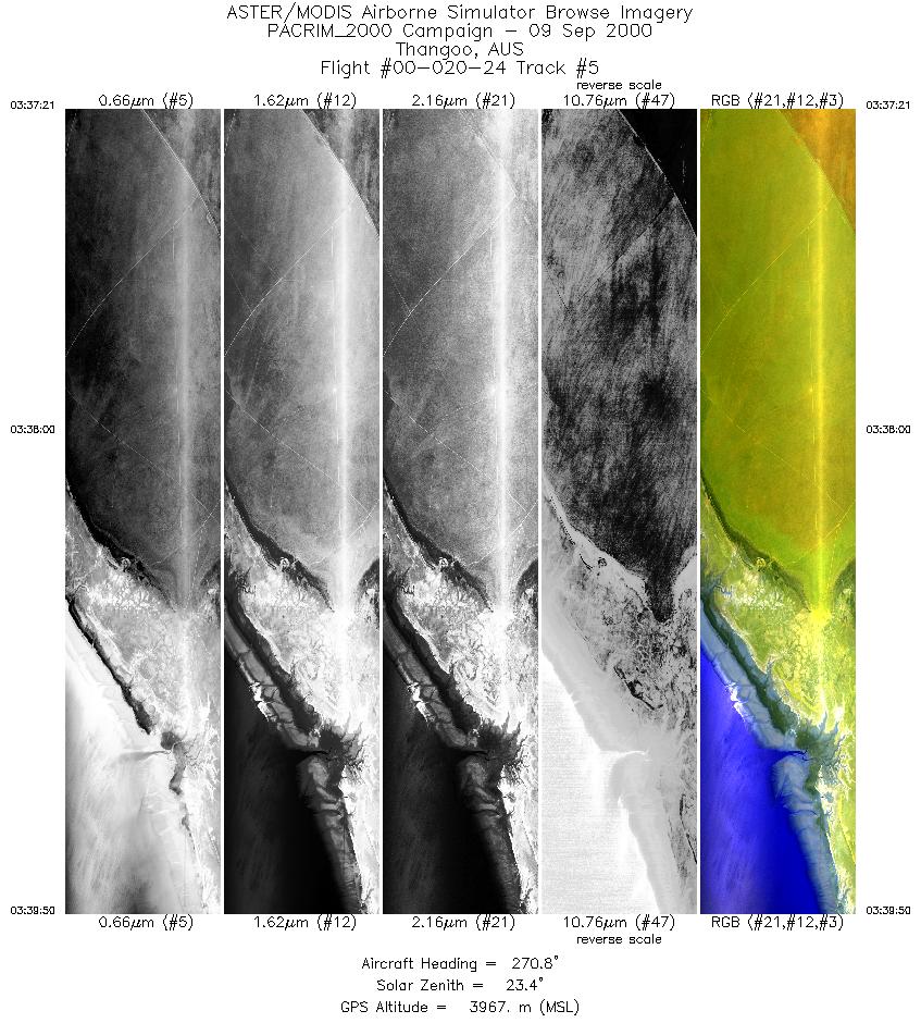
| 5 |
03:37 - 03:39 |
271.5 |
18.165 - 18.160 |
122.516 - 122.271 |
3702 |
3968 |
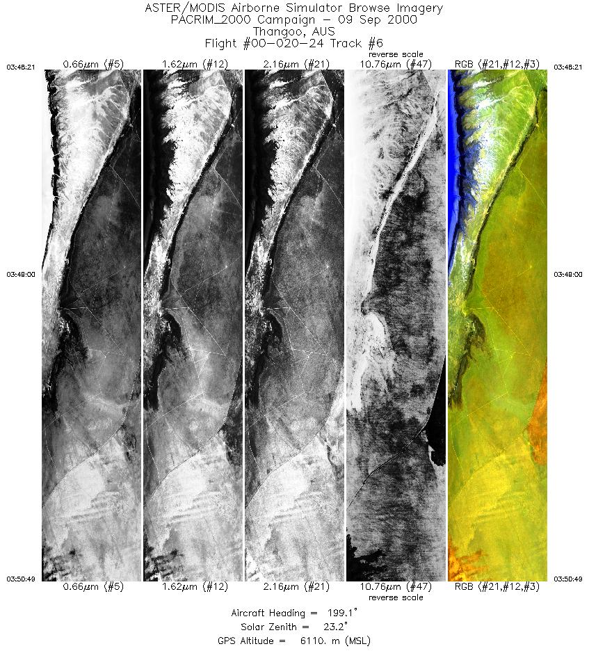
| 6 |
03:48 - 03:50 |
199.6 |
18.056 - 18.334 |
122.426 - 122.347 |
3683 |
6112 |
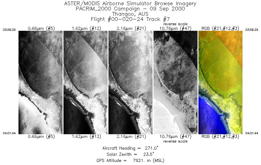
| 7 |
03:59 - 04:01 |
271.9 |
18.166 - 18.160 |
122.545 - 122.270 |
1683 |
7922 |
| 8 |
04:08 - 04:10 |
10.2 |
18.369 - 18.089 |
122.337 - 122.420 |
1851 |
7912 |
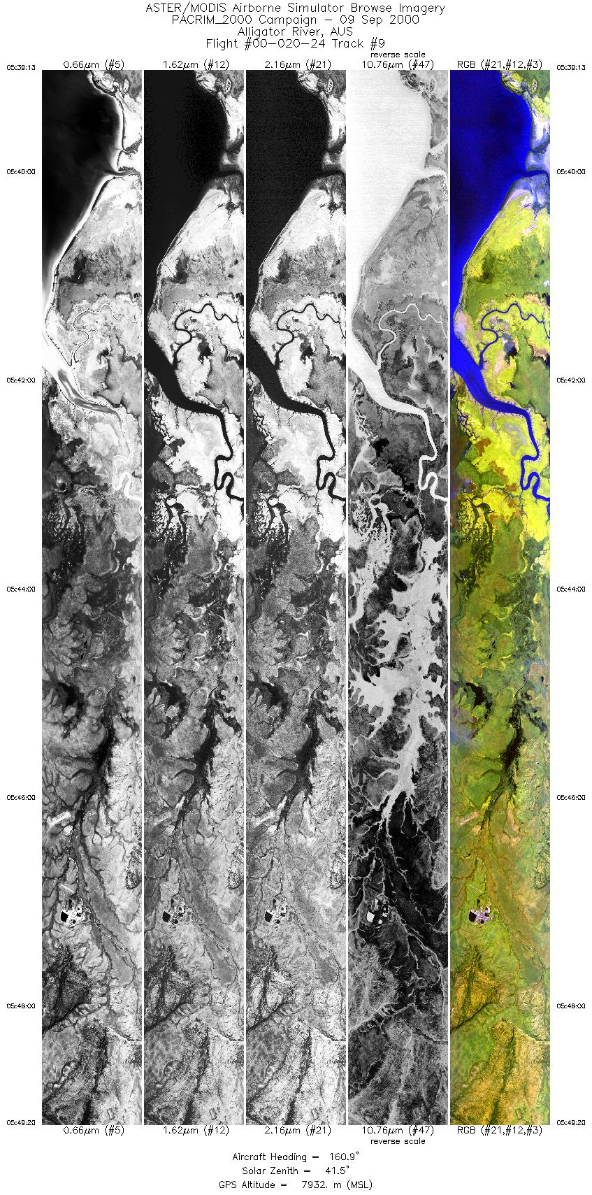
| 9 |
05:39 - 05:49 |
158.9 |
11.786 - 12.892 |
132.584 - 133.021 |
7546 |
7930 |
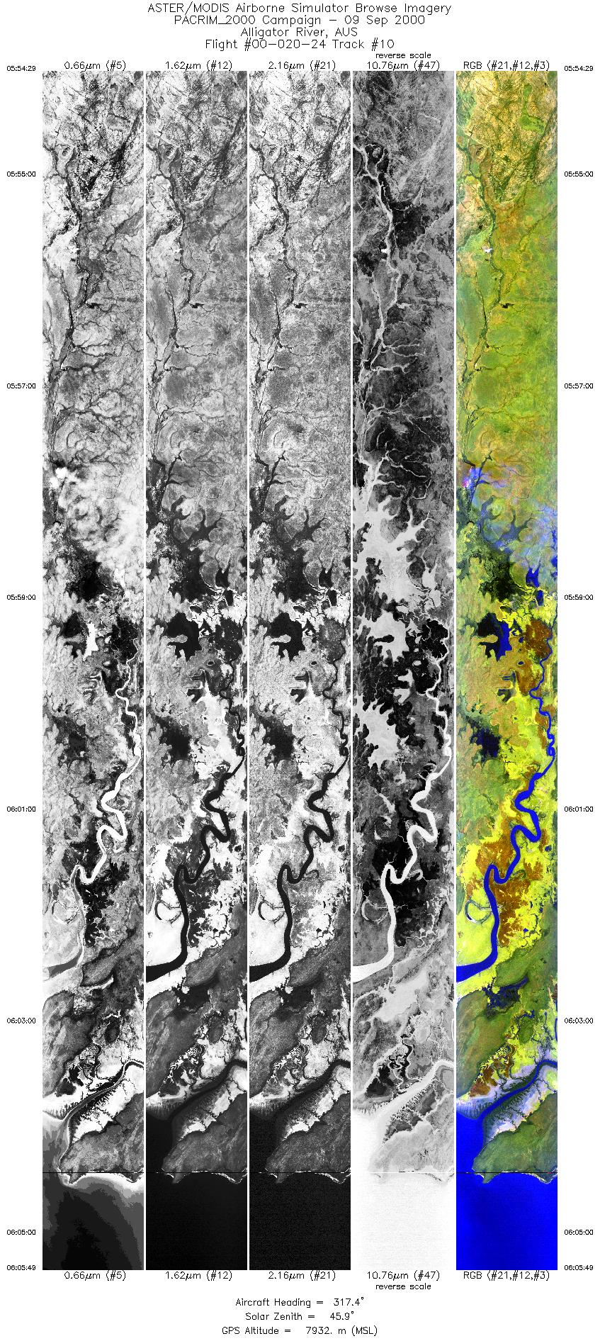
| 10 |
05:54 - 06:05 |
321.2 |
13.191 - 12.110 |
132.951 - 132.161 |
8462 |
7935 |
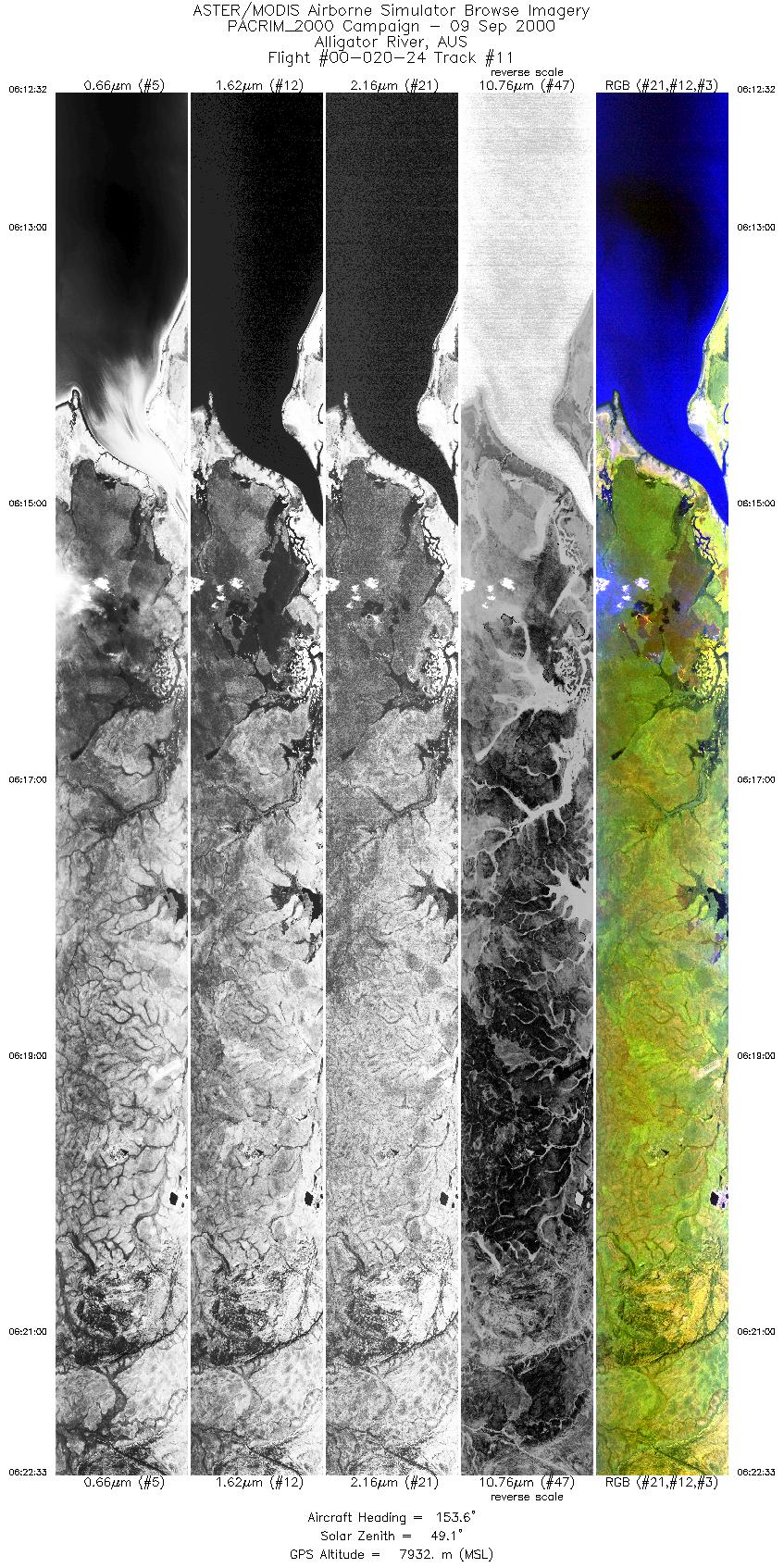
| 11 |
06:12 - 06:22 |
155.8 |
11.832 - 12.924 |
132.498 - 132.942 |
7470 |
7932 |
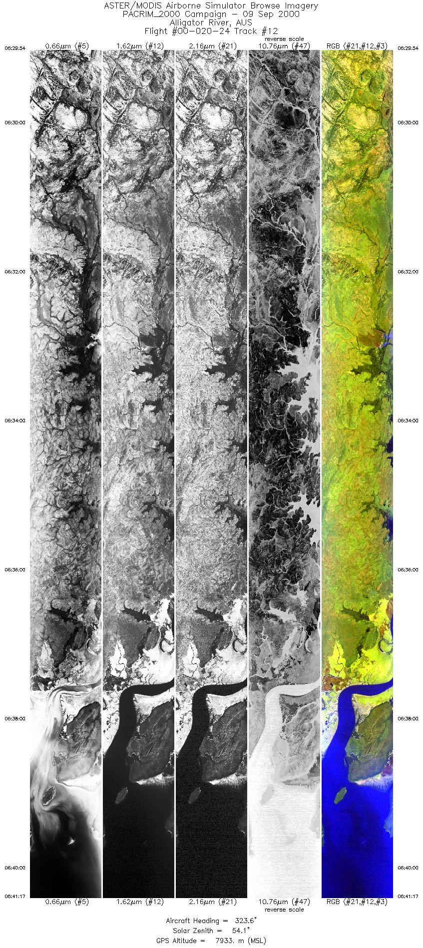
| 12 |
06:29 - 06:41 |
324.5 |
13.150 - 12.061 |
133.022 - 132.234 |
8496 |
7933 |
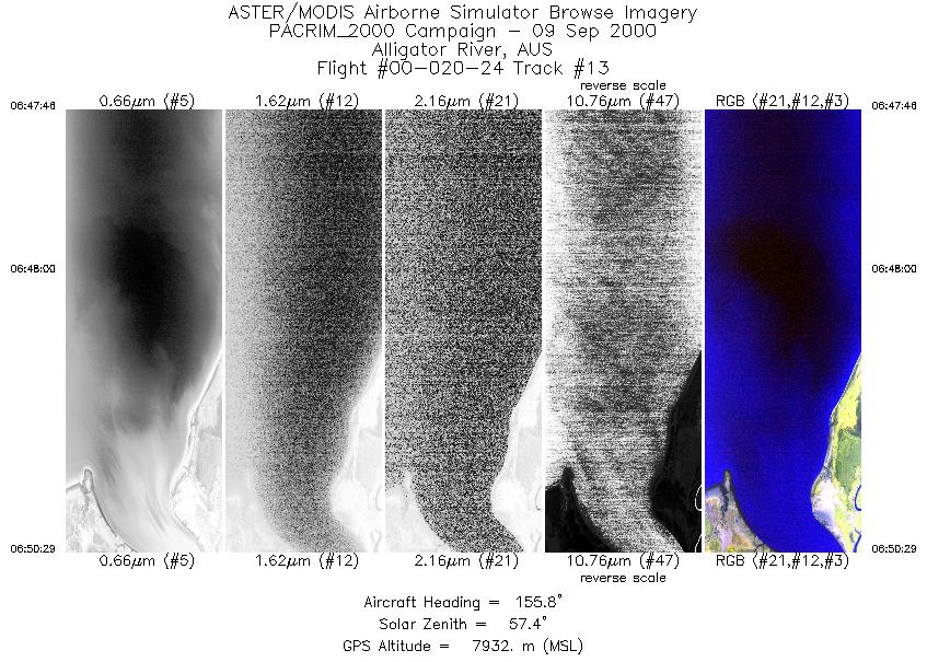
| 13 |
06:47 - 06:50 |
156.4 |
11.826 - 12.120 |
132.500 - 132.619 |
2026 |
7933 |
| 14 |
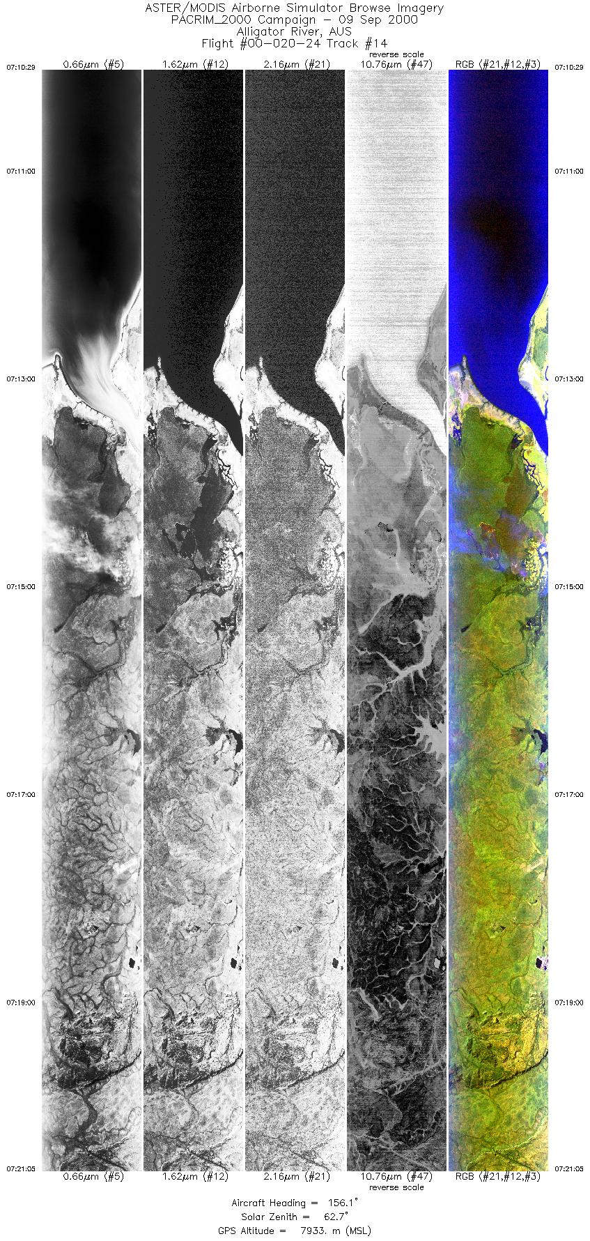
07:10 - 07:21 |
157.9 |
11.765 - 12.924 |
132.477 - 132.941 |
7901 |
7932 |
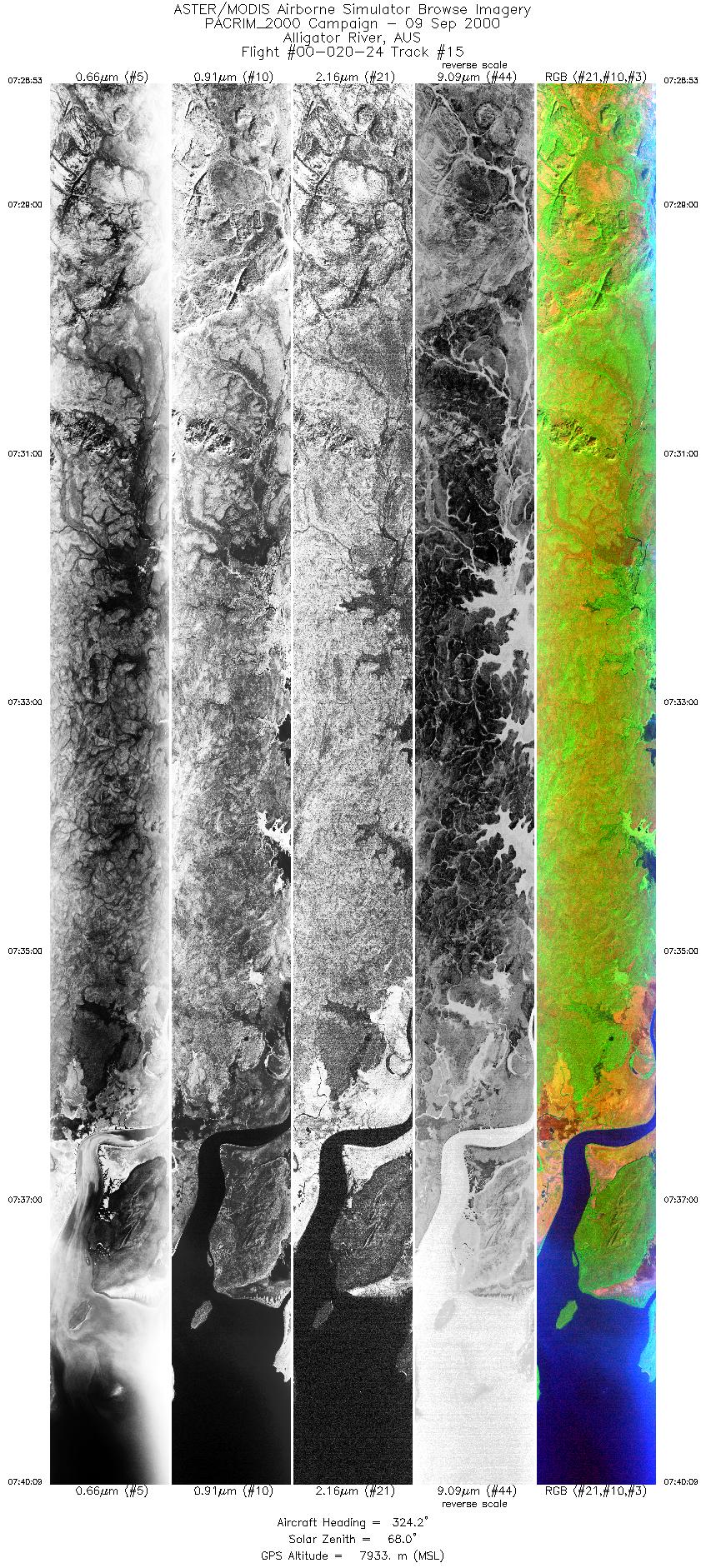
| 15 |
07:28 - 07:40 |
325.4 |
13.142 - 12.061 |
133.015 - 132.234 |
8413 |
7933 |
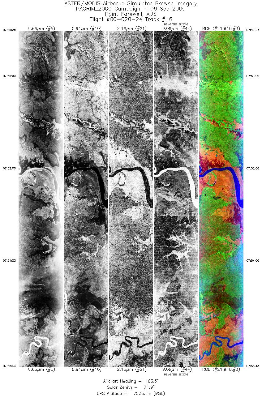
| 16 |
07:49 - 07:56 |
62.8 |
12.561 - 12.172 |
132.064 - 132.838 |
5437 |
7931 |
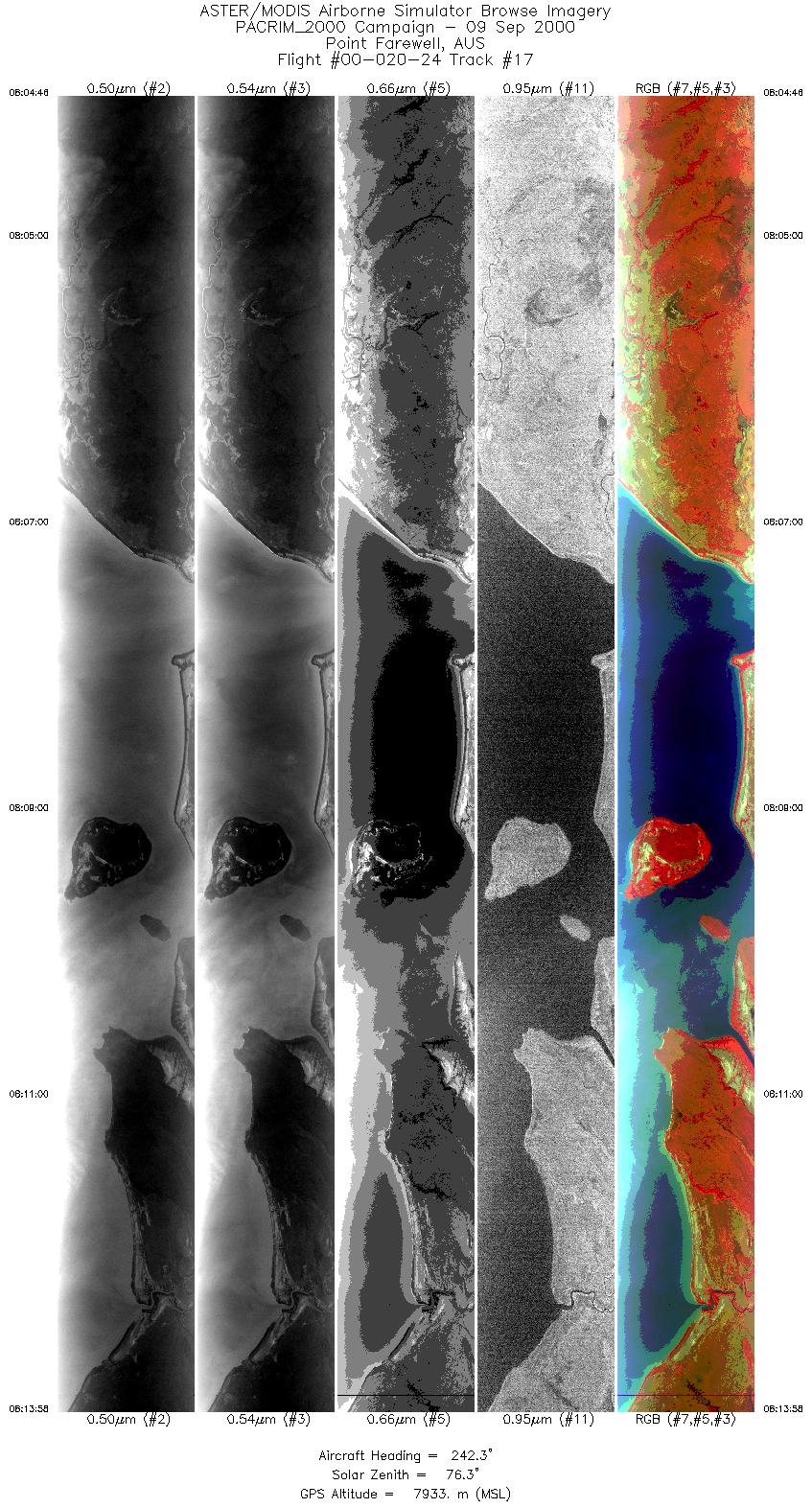
| 17 |
08:04 - 08:13 |
243.0 |
11.834 - 12.329 |
132.957 - 131.985 |
6869 |
7935 |
|


