


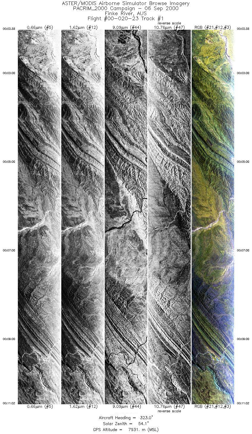
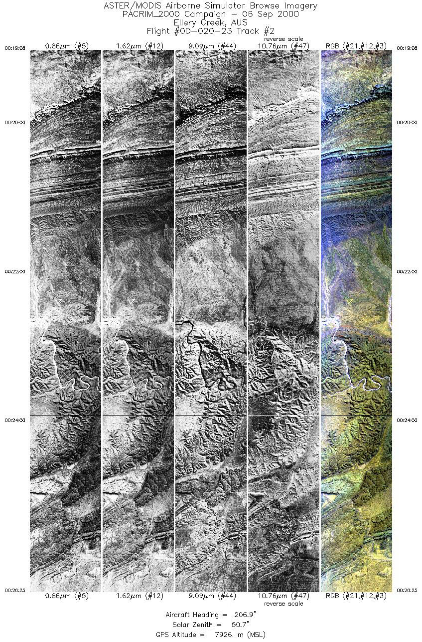
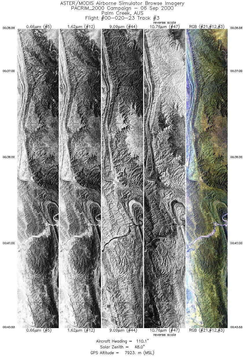
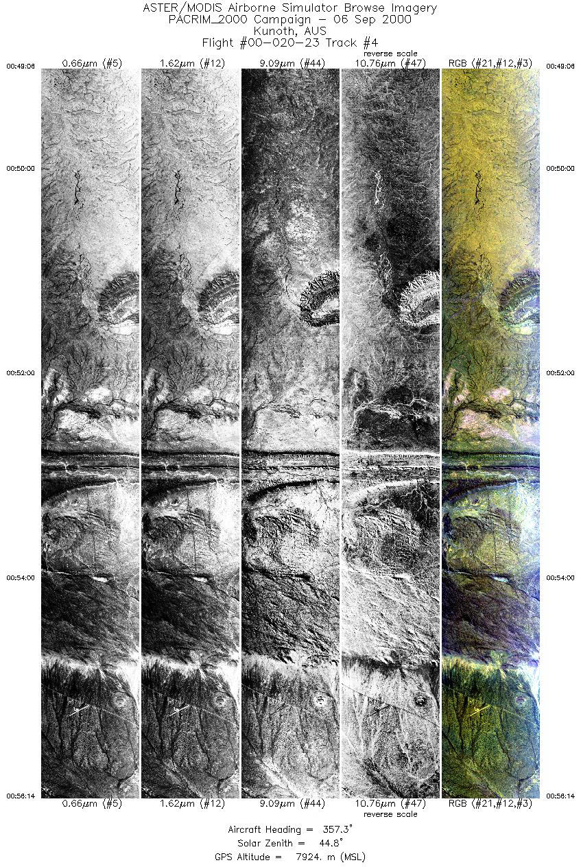
FLIGHT SUMMARY INFORMATION
Flight Track Map


|
Flight: 00-020-23 Date: September 06, 2000 Aircraft: DC-8, Aircraft Number 817 Deployment: PACRIM II Flight Location: Finke River, Ellery Creek, Palm Creek, Kunoth, Torbay, Elasghin, Cervantes; Australia Principal Investigator: Crawford (UT); Hill , Tapley (AUS) Additional Sensors: AirSAR |
|||||||||||||||||||||||||||||||||||||||||||||||||||||||||||||||||||||||||||||||||||||||||||
|
Data Evaluation Dropped sacanlines in each flightline. Fair amount of spikes (bad pixel values) in video data, which correspond to the first band of each QUAD ADC card (channels 1,5,9,11,15,19,24,25). Occasional bad lines due to spikes in black body video counts. |
|||||||||||||||||||||||||||||||||||||||||||||||||||||||||||||||||||||||||||||||||||||||||||
|
Processing Information Level-1B Data in HDF format is available Flight Line Summary Spectral Band Configuration Spectral Response Function Table Spectral Response Function (text) |
|||||||||||||||||||||||||||||||||||||||||||||||||||||||||||||||||||||||||||||||||||||||||||
|
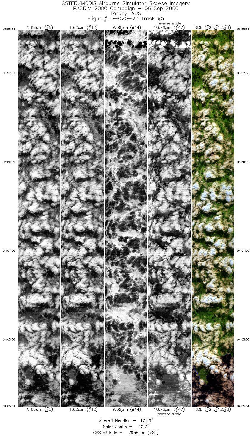
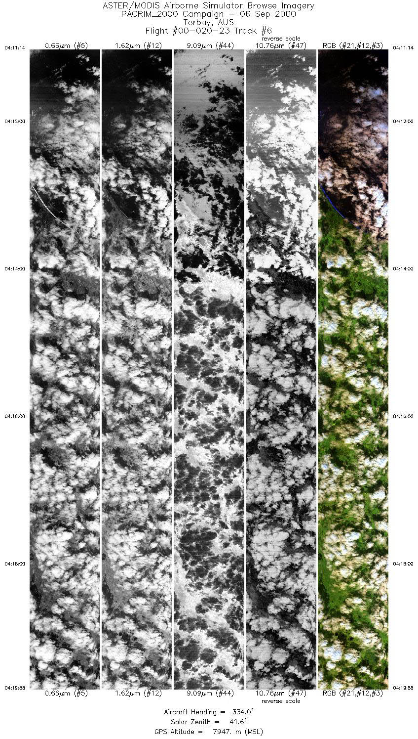
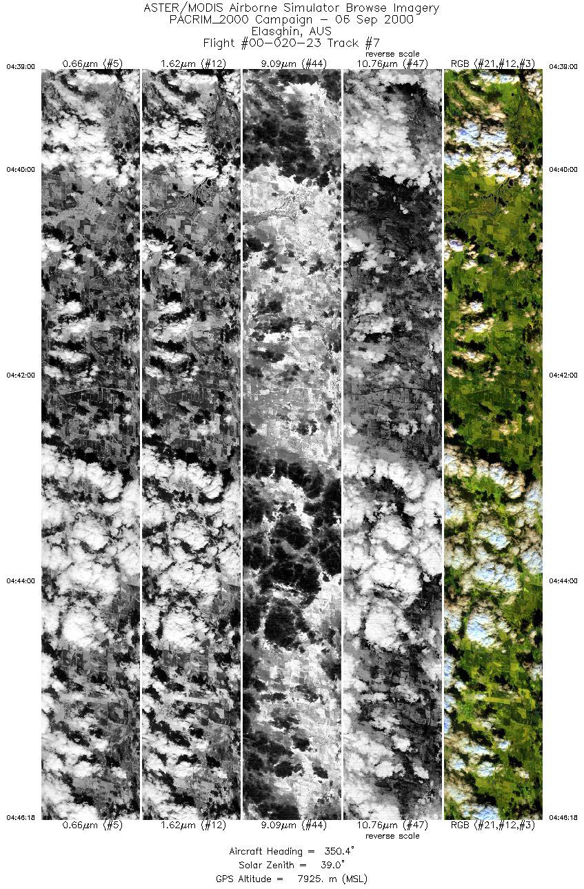
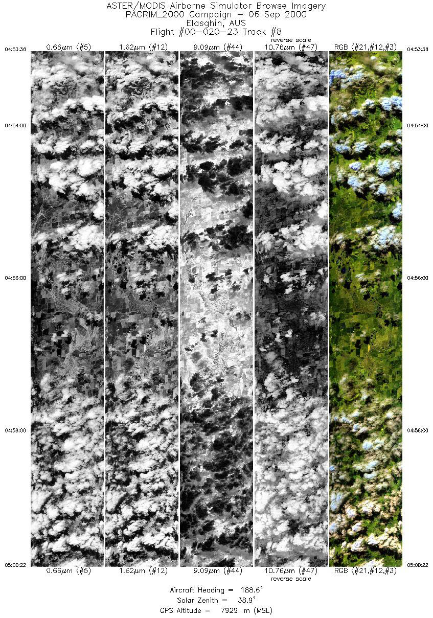
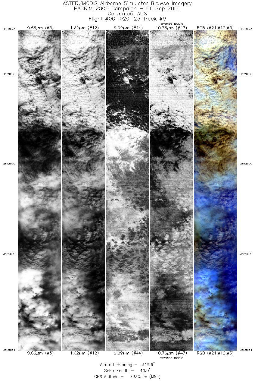
Browse Imagery Flight Tracks: 9 Scanlines: 50861 |
|||||||||||||||||||||||||||||||||||||||||||||||||||||||||||||||||||||||||||||||||||||||||||
|
|||||||||||||||||||||||||||||||||||||||||||||||||||||||||||||||||||||||||||||||||||||||||||


