Flight: 00-020-36
Date: October 04, 2000
Aircraft: DC-8, Aircraft Number 817
Deployment: PACRIM II
Flight Location: Tsukuba, Japan
Principal Investigator: Japan
Additional Sensors: AirSAR
|
Data Evaluation
Dropped sacanlines in each flightline.
Fair amount of spikes (bad pixel values) in video data, which correspond to the first band of each QUAD ADC card (channels 1,5,9,11,15,19,24,25).
|
Processing Information
Level-1B Data in HDF format is available
Flight Line Summary
Spectral Band Configuration
Spectral Response Function Table
Spectral Response Function (text)
|
Browse Imagery
Flight Tracks: 22
Scanlines: 97394
|
Browse Imagery Table
|
Click a Flight Track number to view a quicklook image
Lat/Lon ranges are for the BEG-END scanline nadir pixels
|
Flight
Track |
Time Span
(UTC) |
Heading
(Deg) |
Lat Range
(Deg N) |
Lon Range
(Deg E) |
Length
(Scanlines) |
Altitude
(Meters) |
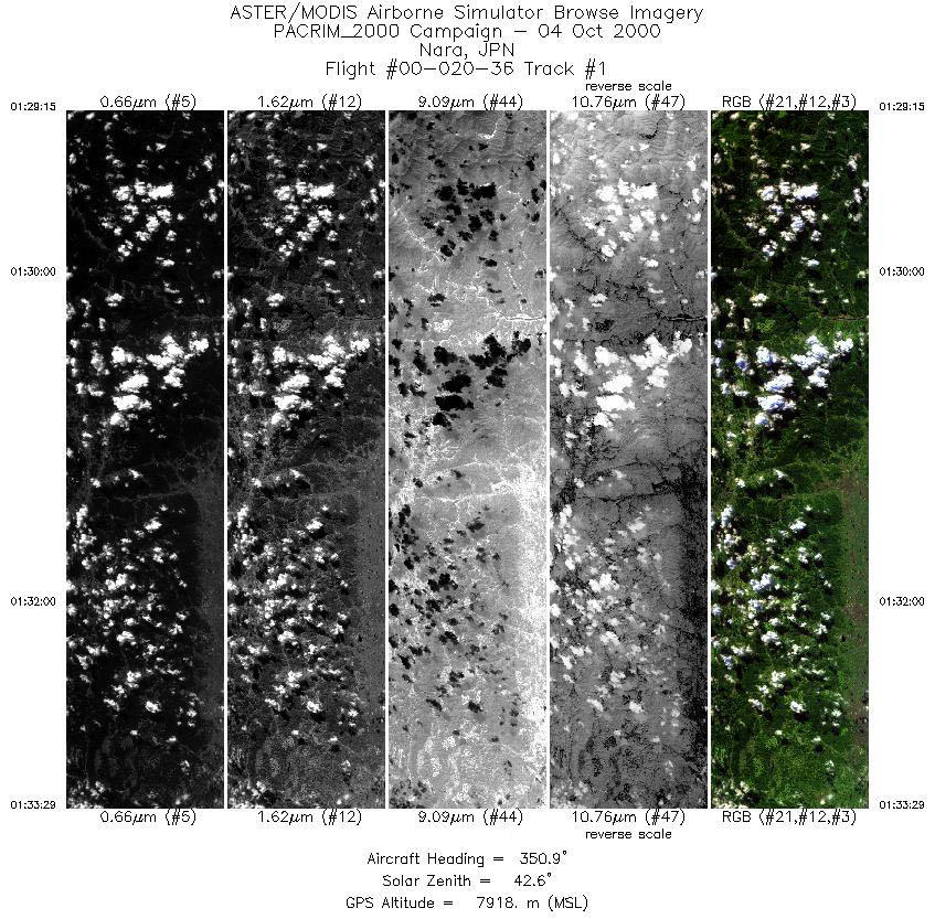
| 1 |
01:29 - 01:33 |
350.9 |
34.247 - 34.742 |
135.899 - 135.899 |
3165 |
7916 |
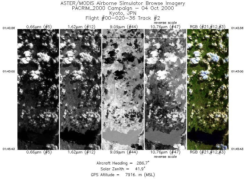
| 2 |
01:42 - 01:45 |
287.4 |
34.935 - 35.062 |
136.232 - 135.868 |
2083 |
7918 |
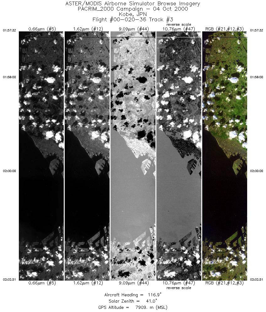
| 3 |
01:57 - 02:02 |
118.4 |
34.770 - 34.525 |
134.817 - 135.512 |
3972 |
7910 |
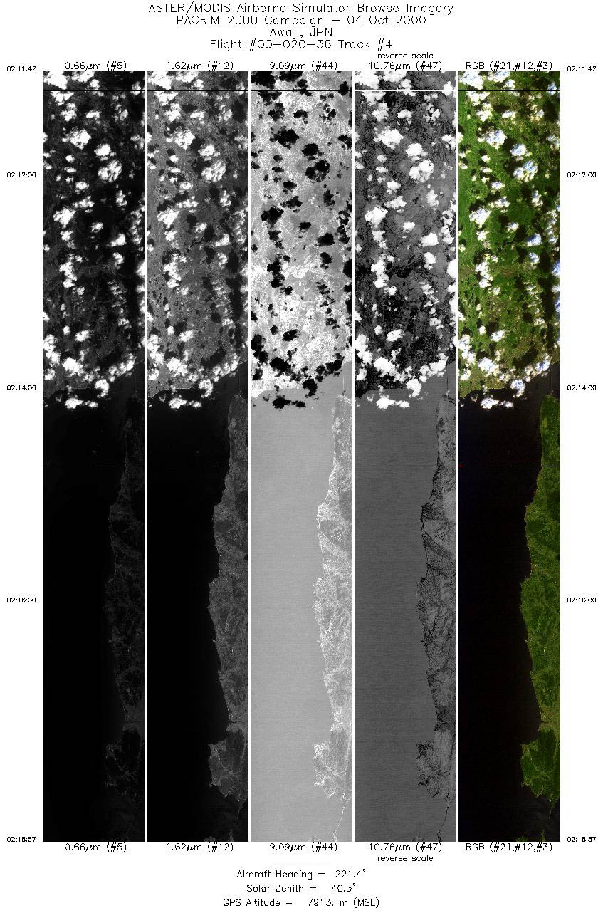
| 4 |
02:11 - 02:18 |
222.1 |
34.921 - 34.257 |
135.230 - 134.601 |
5413 |
7913 |
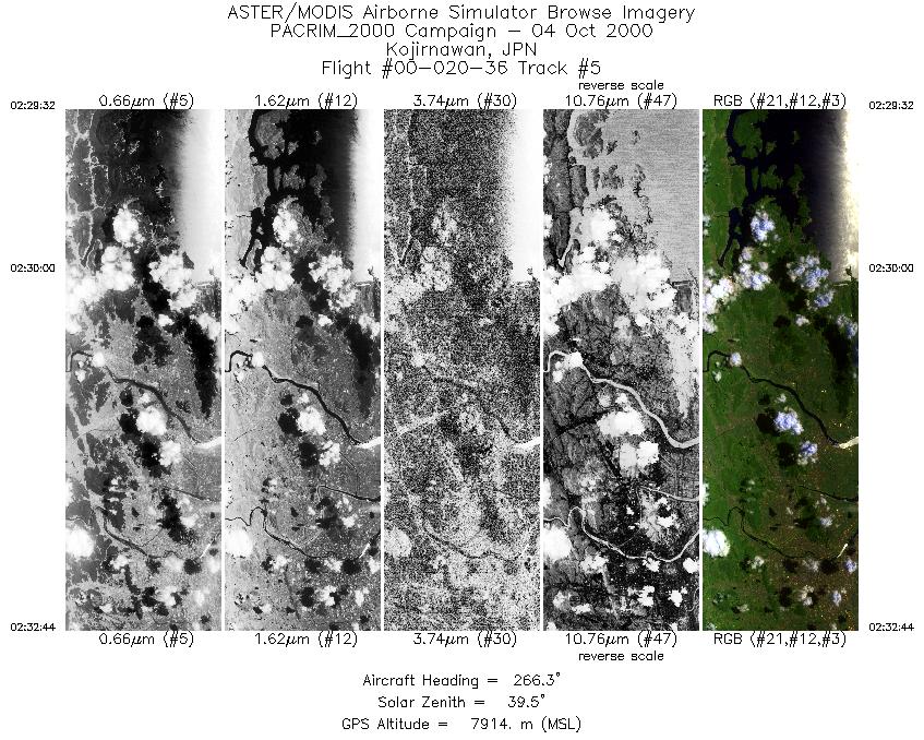
| 5 |
02:29 - 02:32 |
266.9 |
34.694 - 34.681 |
134.325 - 133.874 |
2391 |
7915 |
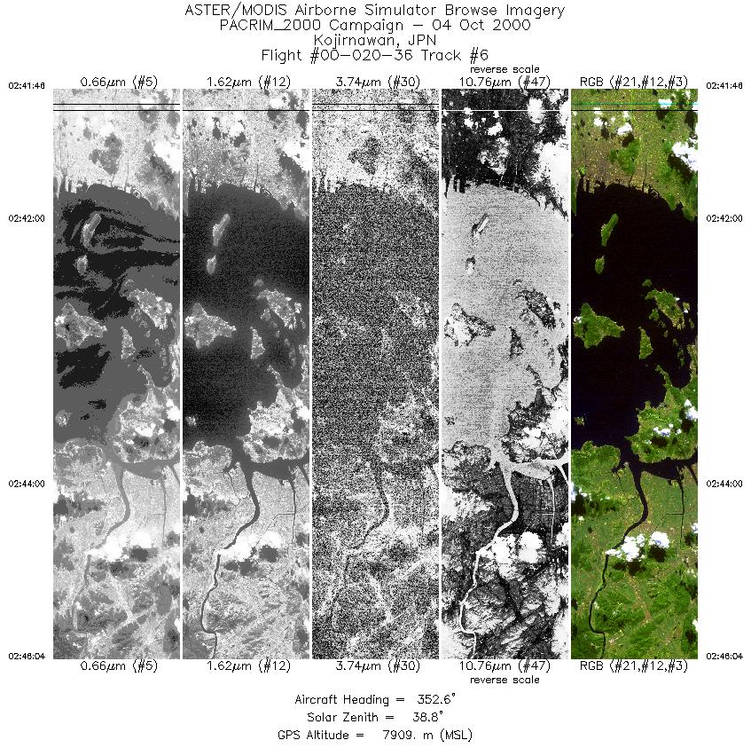
| 6 |
02:41 - 02:46 |
355.7 |
34.261 - 34.766 |
134.009 - 134.058 |
3217 |
7906 |
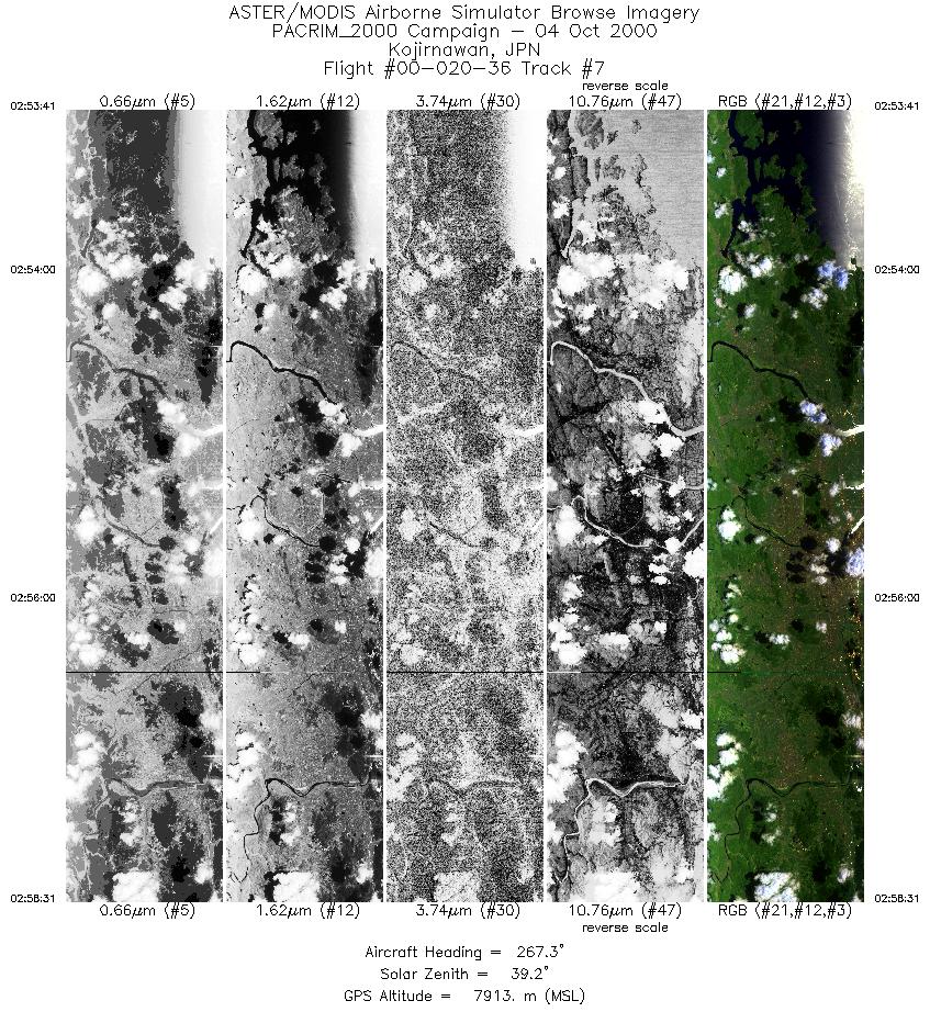
| 7 |
02:53 - 02:58 |
267.4 |
34.693 - 34.672 |
134.315 - 133.630 |
3613 |
7913 |
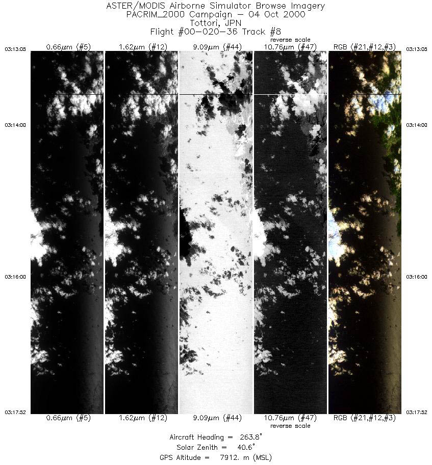
| 8 |
03:13 - 03:17 |
263.5 |
35.683 - 35.614 |
134.637 - 133.956 |
3569 |
7914 |
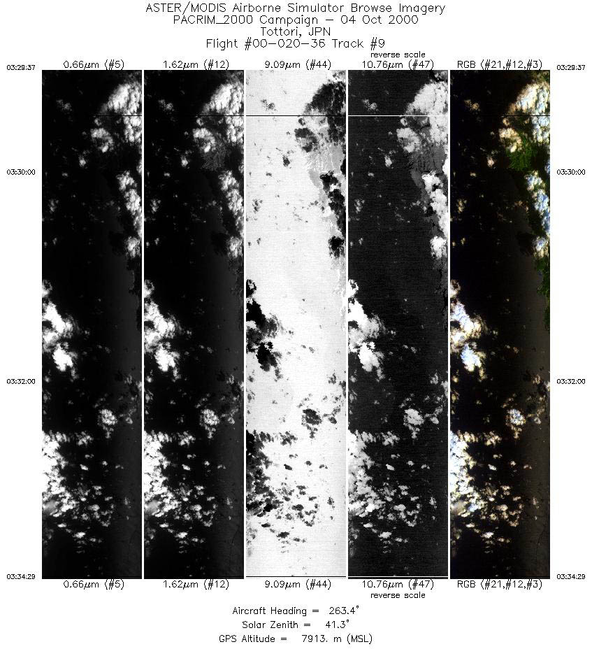
| 9 |
03:29 - 03:34 |
263.3 |
35.684 - 35.613 |
134.638 - 133.949 |
3640 |
7912 |
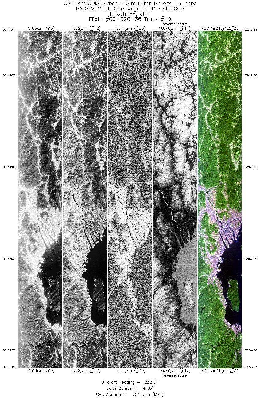
| 10 |
03:47 - 03:55 |
238.4 |
34.707 - 34.195 |
132.933 - 132.105 |
5499 |
7914 |
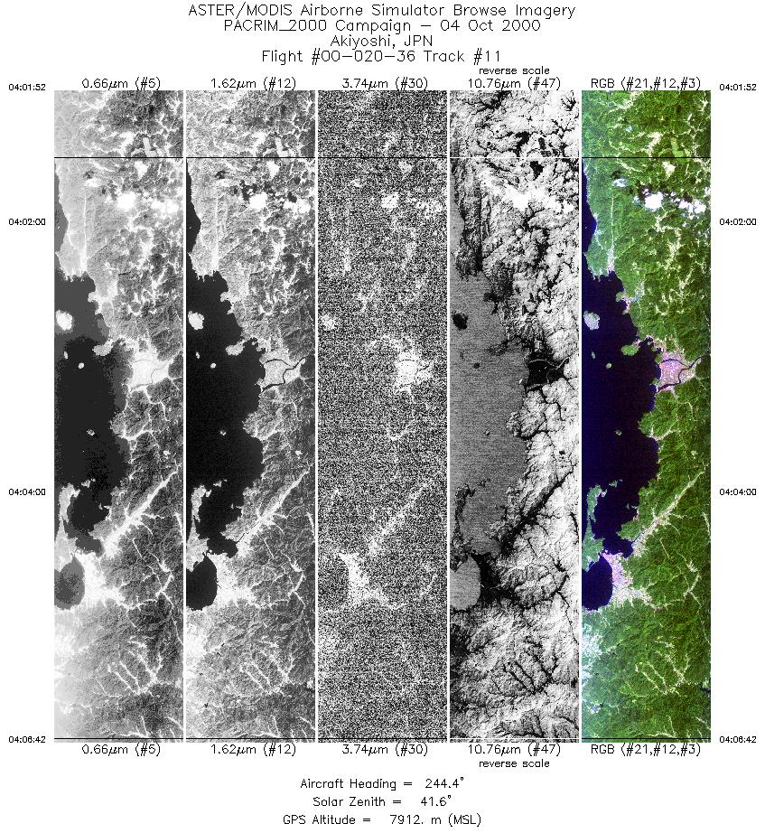
| 11 |
04:01 - 04:06 |
245.8 |
34.544 - 34.287 |
131.648 - 131.046 |
3612 |
7911 |
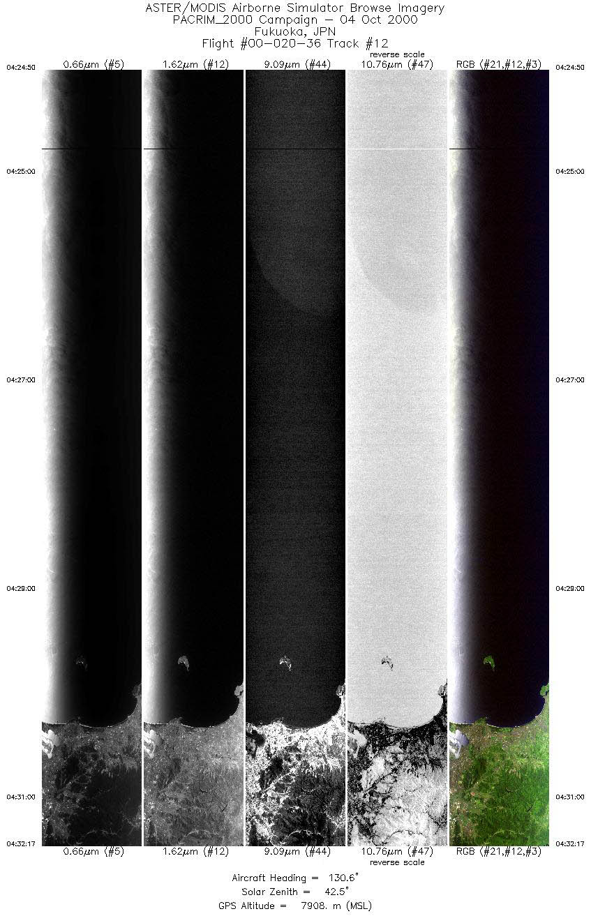
| 12 |
04:24 - 04:32 |
131.3 |
34.187 - 33.644 |
129.743 - 130.565 |
5566 |
7908 |
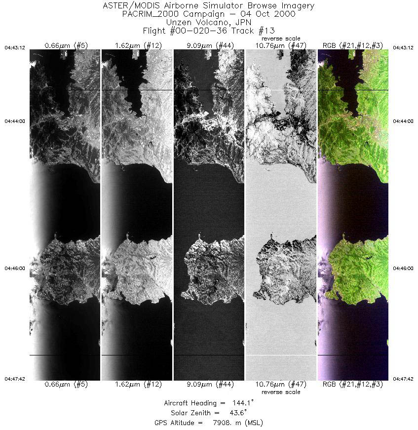
| 13 |
04:43 - 04:47 |
144.0 |
32.926 - 32.523 |
129.915 - 130.316 |
3358 |
7909 |
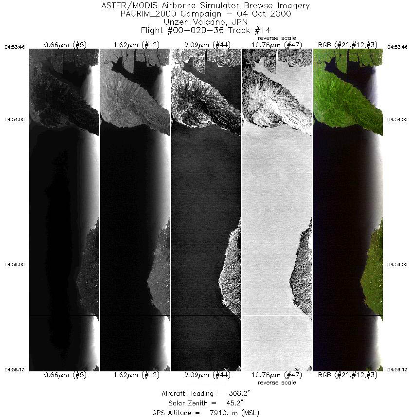
| 14 |
04:53 - 04:58 |
312.0 |
32.589 - 32.979 |
130.653 - 130.249 |
3319 |
7906 |
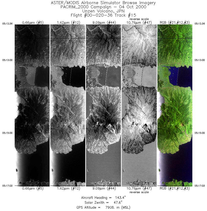
| 15 |
05:12 - 05:17 |
143.8 |
33.000 - 32.601 |
130.030 - 130.429 |
3317 |
7906 |
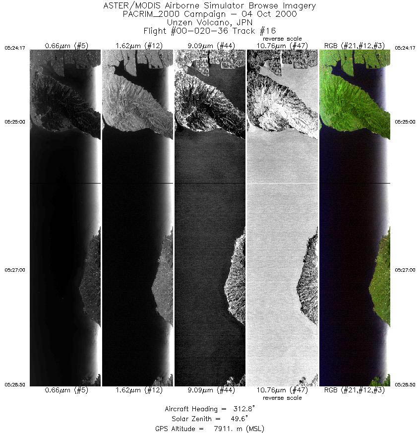
| 16 |
05:24 - 05:28 |
314.4 |
32.584 - 32.987 |
130.651 - 130.243 |
3395 |
7910 |
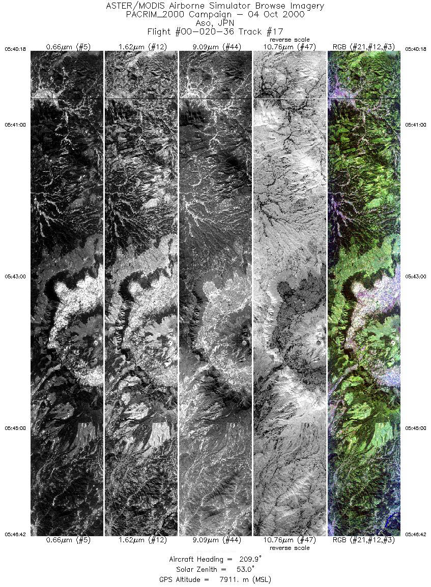
| 17 |
05:40 - 05:46 |
210.1 |
33.320 - 32.636 |
131.225 - 130.871 |
4777 |
7910 |
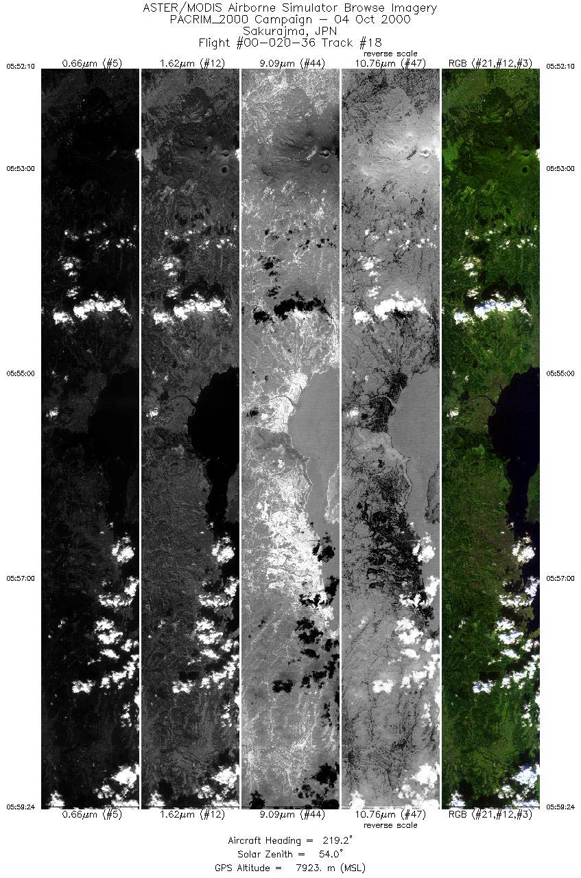
| 18 |
05:52 - 05:59 |
218.6 |
32.045 - 31.342 |
130.897 - 130.337 |
5397 |
7919 |
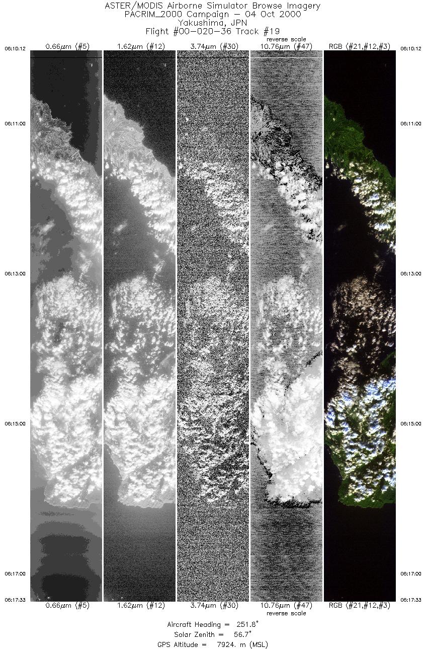
| 19 |
06:10 - 06:17 |
251.9 |
30.607 - 30.304 |
131.160 - 130.226 |
5478 |
7926 |
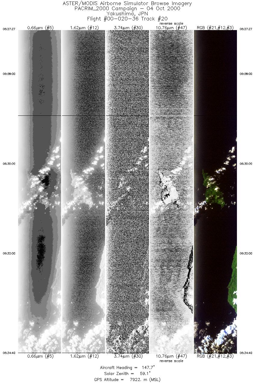
| 20 |
06:27 - 06:34 |
149.0 |
30.811 - 30.109 |
129.935 - 130.494 |
5388 |
7923 |
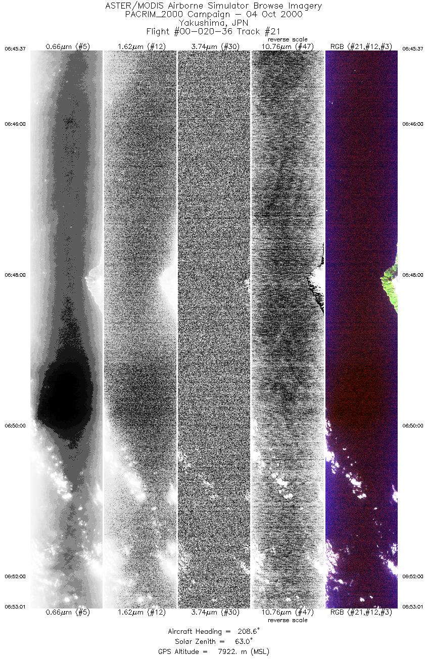
| 21 |
06:45 - 06:53 |
209.0 |
30.728 - 29.947 |
130.517 - 130.106 |
5526 |
7919 |
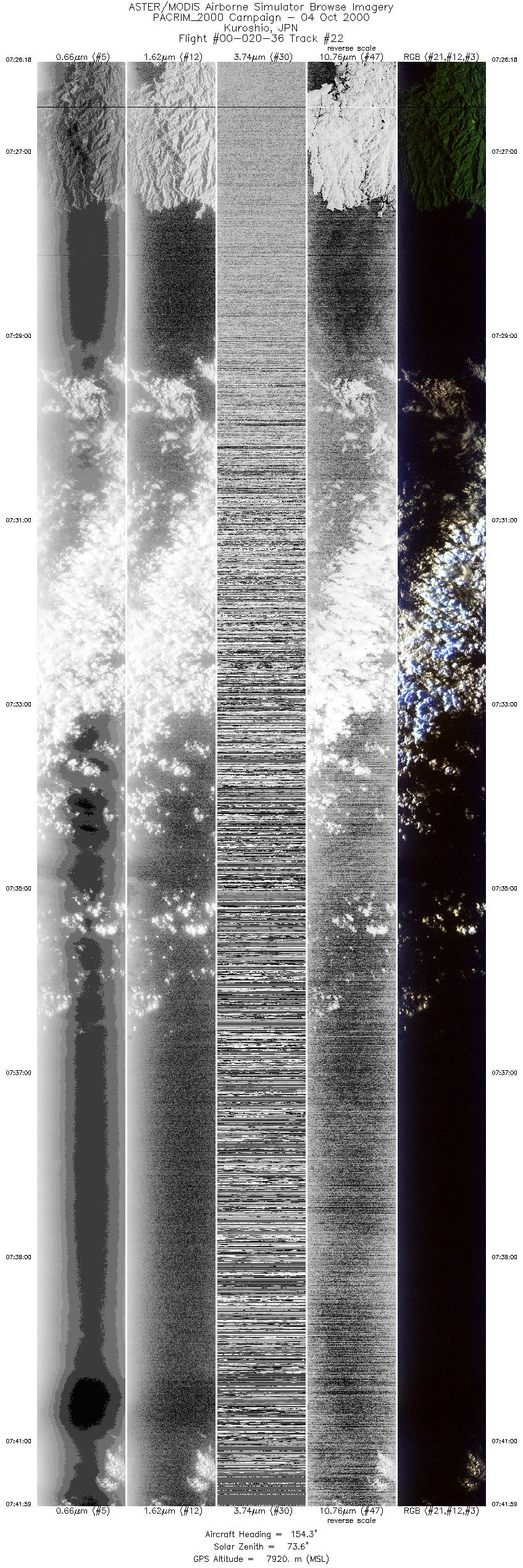
| 22 |
07:26 - 07:41 |
155.5 |
32.928 - 31.336 |
132.714 - 133.794 |
11699 |
7918 |
|


