Flight: 00-020-32
Date: September 24, 2000
Aircraft: DC-8, Aircraft Number 817
Deployment: PACRIM II
Flight Location: Lingayen Gulf, Santa Rosa, Mt. Pinatubo, Marikina, Manila, Taal, Balayan; Philippines
Principal Investigator: Philippines (DOST)
Additional Sensors: AirSAR
|
Data Evaluation
Dropped sacanlines in each flightline.
Fair amount of spikes (bad pixel values) in video data, which correspond to the first band of each QUAD ADC card (channels 1,5,9,11,15,19,24,25).
|
Processing Information
Level-1B Data in HDF format is available
Flight Line Summary
Spectral Band Configuration
Spectral Response Function Table
Spectral Response Function (text)
|
Browse Imagery
Flight Tracks: 20
Scanlines: 90656
|
Browse Imagery Table
|
Click a Flight Track number to view a quicklook image
Lat/Lon ranges are for the BEG-END scanline nadir pixels
|
Flight
Track |
Time Span
(UTC) |
Heading
(Deg) |
Lat Range
(Deg N) |
Lon Range
(Deg E) |
Length
(Scanlines) |
Altitude
(Meters) |
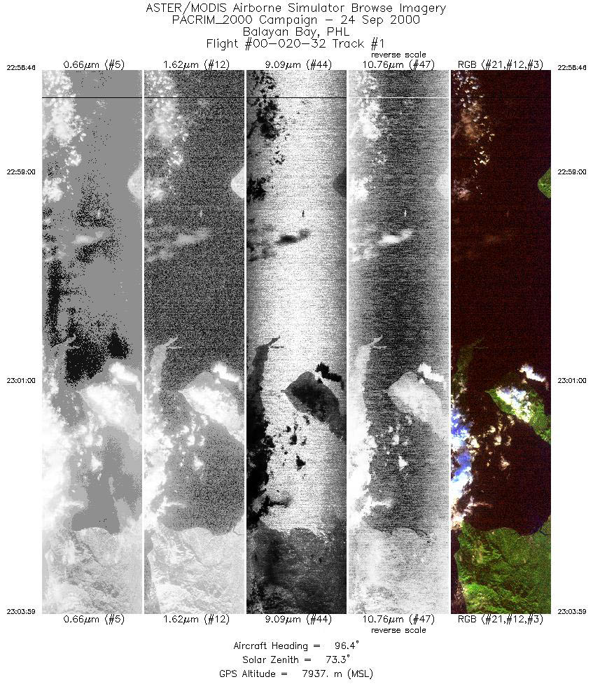
| 1 |
22:58 - 23:03 |
95.1 |
13.737 - 13.678 |
120.520 - 121.144 |
3887 |
7936 |
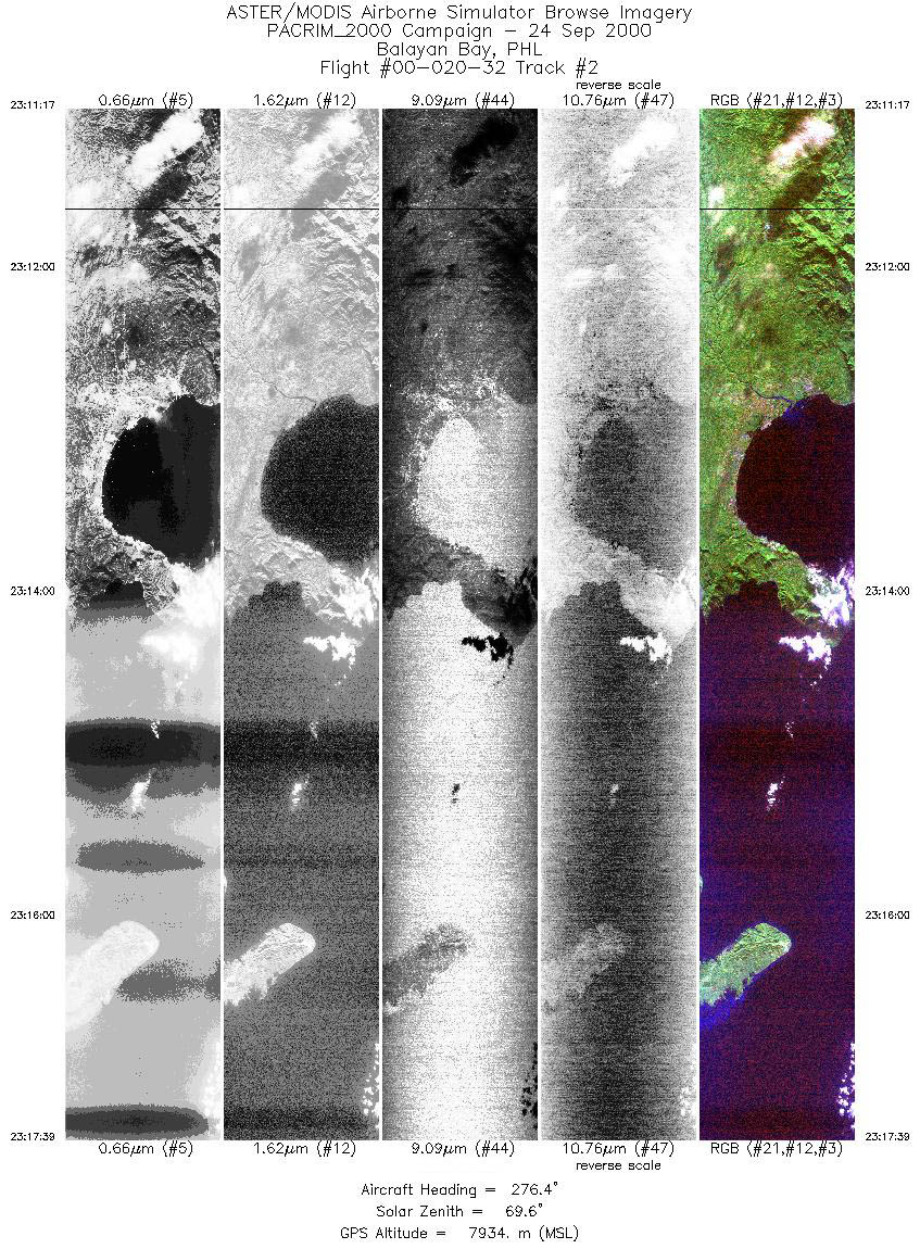
| 2 |
23:11 - 23:17 |
276.2 |
13.727 - 13.789 |
121.282 - 120.519 |
4754 |
7934 |
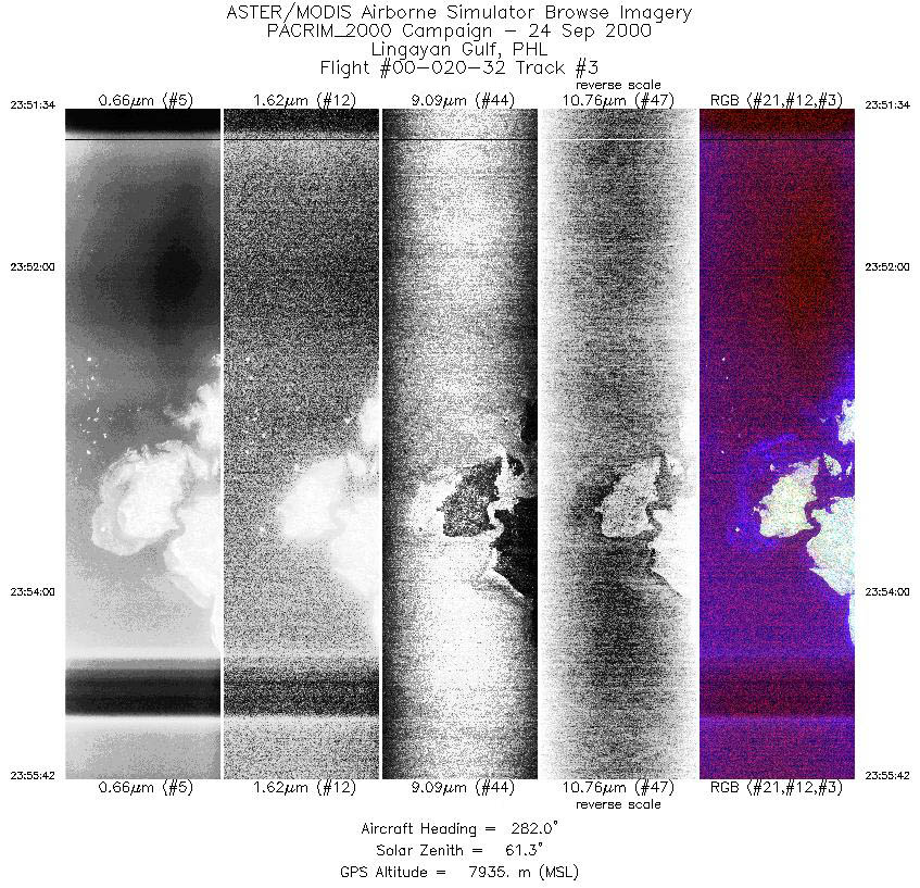
| 3 |
23:51 - 23:55 |
281.8 |
16.353 - 16.445 |
120.234 - 119.739 |
3087 |
7936 |
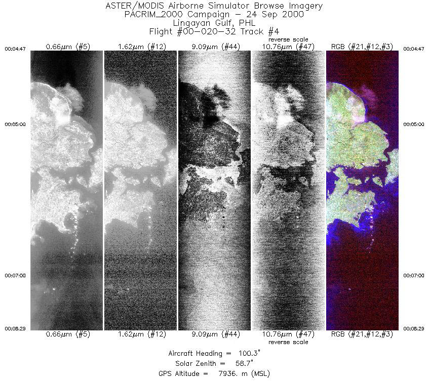
| 4 |
00:04 - 00:08 |
101.2 |
16.381 - 16.285 |
119.737 - 120.178 |
2765 |
7935 |
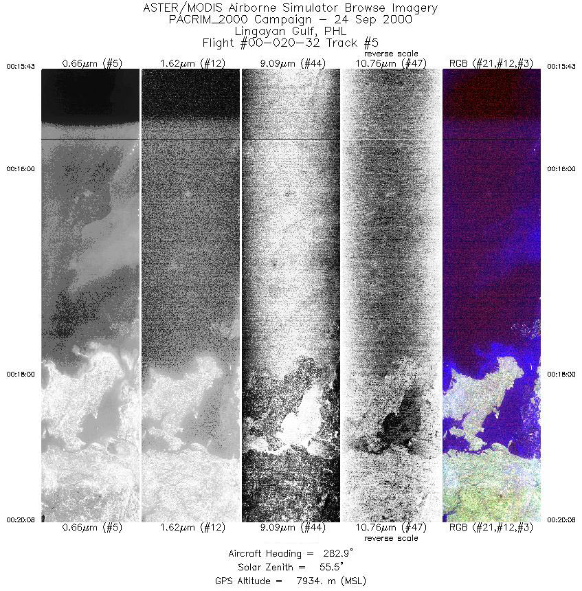
| 5 |
00:15 - 00:20 |
283.1 |
16.186 - 16.298 |
120.356 - 119.837 |
3300 |
7936 |
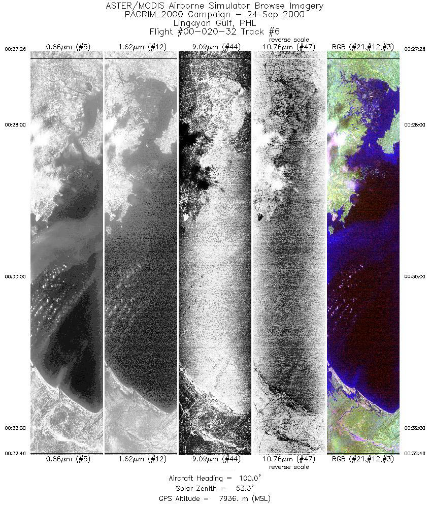
| 6 |
00:27 - 00:32 |
100.1 |
16.231 - 16.105 |
119.841 - 120.476 |
3982 |
7937 |
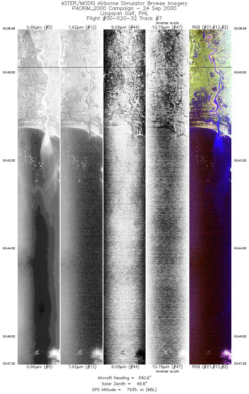
| 7 |
00:39 - 00:47 |
340.7 |
15.782 - 16.618 |
120.329 - 119.995 |
5687 |
7937 |
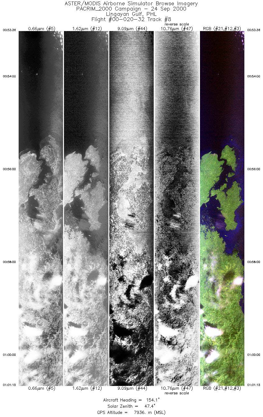
| 8 |
00:53 - 01:01 |
155.3 |
16.691 - 15.856 |
119.792 - 120.128 |
5718 |
7938 |
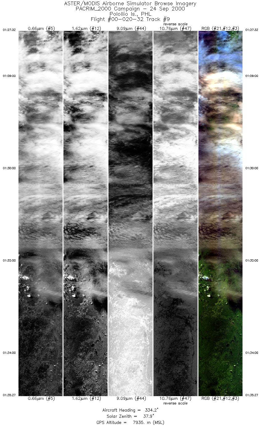
| 9 |
01:27 - 01:35 |
334.7 |
15.014 - 15.833 |
121.147 - 120.709 |
5915 |
7934 |
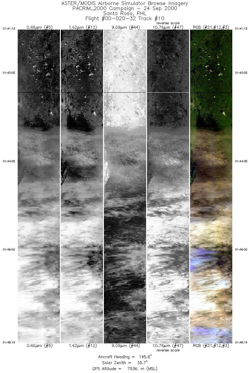
| 10 |
01:41 - 01:48 |
148.3 |
15.828 - 15.084 |
120.606 - 121.004 |
5303 |
7932 |
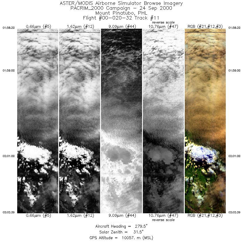
| 11 |
01:58 - 02:02 |
279.3 |
15.159 - 15.248 |
120.890 - 120.378 |
3217 |
10058 |
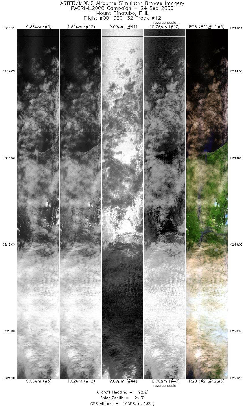
| 12 |
02:13 - 02:21 |
98.8 |
15.098 - 14.937 |
119.714 - 120.672 |
6039 |
10058 |
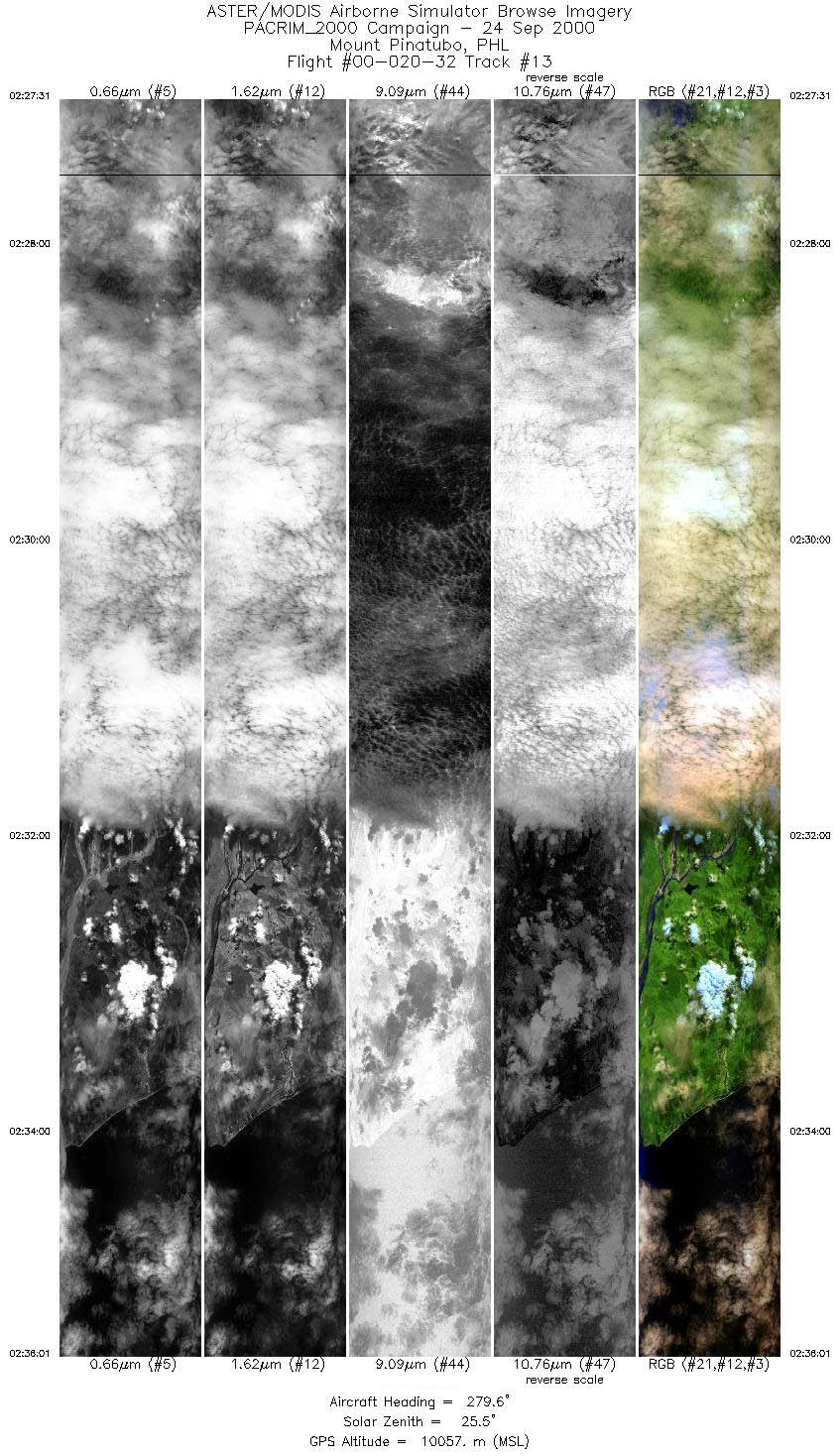
| 13 |
02:27 - 02:36 |
279.6 |
15.039 - 15.208 |
120.850 - 119.837 |
6340 |
10057 |
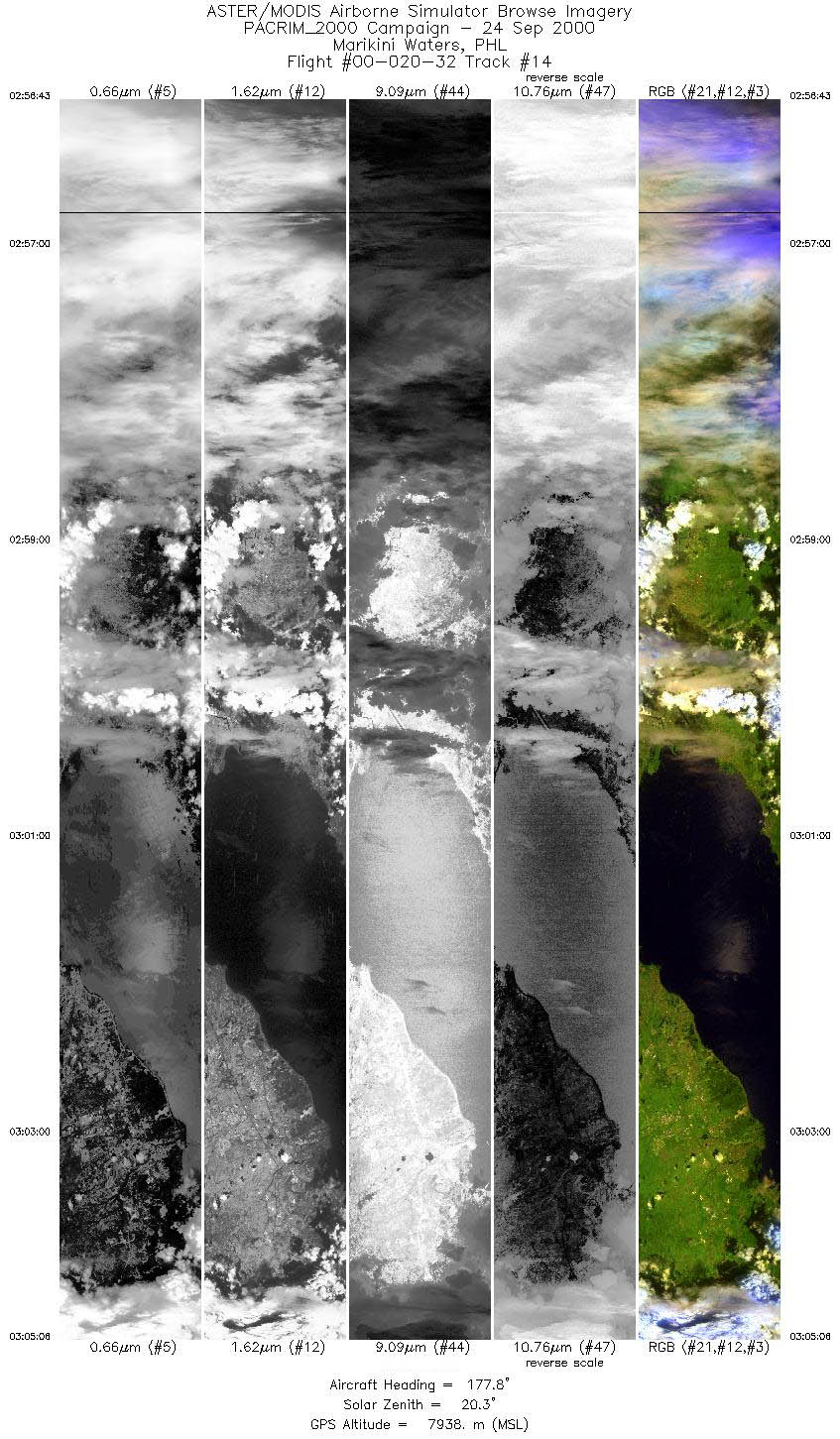
| 14 |
02:56 - 03:05 |
177.8 |
15.051 - 14.065 |
121.134 - 121.136 |
6255 |
7935 |
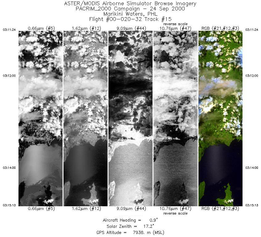
| 15 |
03:11 - 03:15 |
357.5 |
13.902 - 14.359 |
121.262 - 121.262 |
2856 |
7940 |
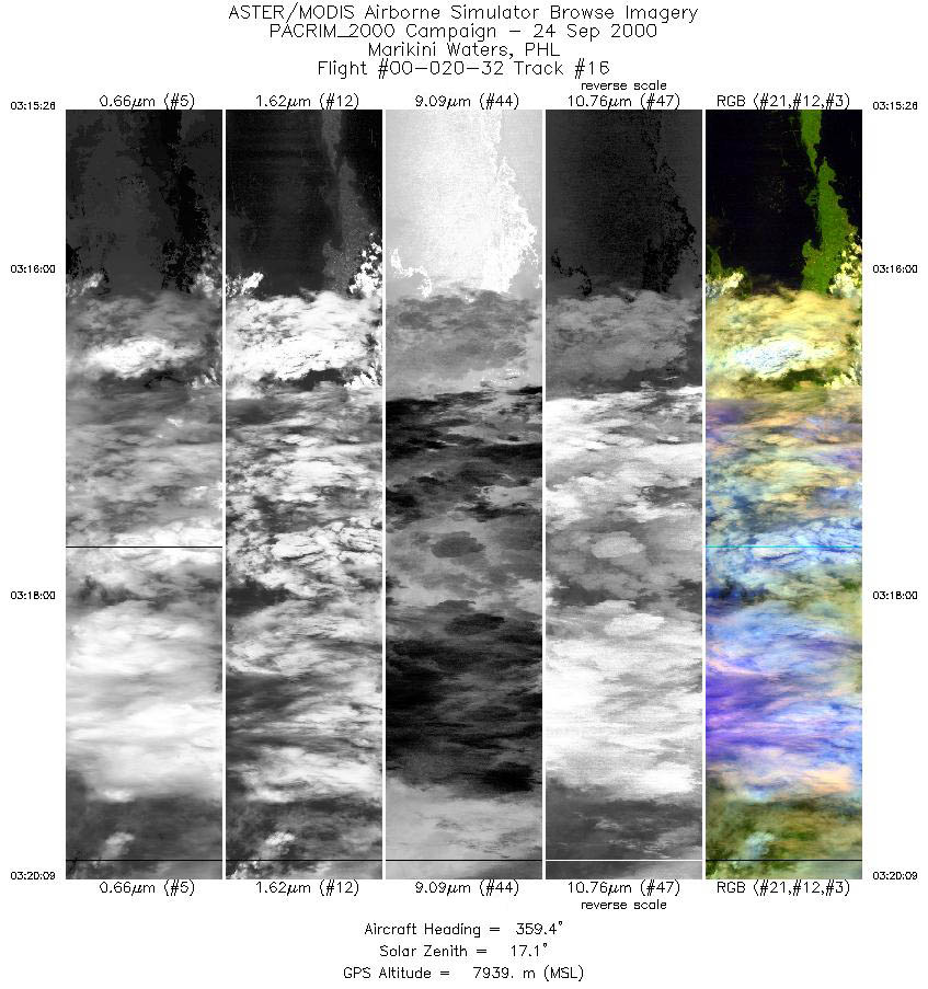
| 16 |
03:15 - 03:20 |
0.0 |
14.382 - 14.923 |
121.258 - 121.259 |
3516 |
7944 |
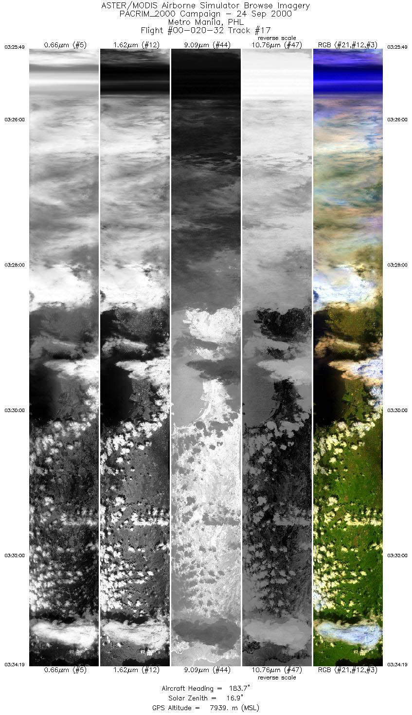
| 17 |
03:25 - 03:34 |
180.7 |
15.079 - 14.080 |
120.995 - 120.984 |
6342 |
7939 |
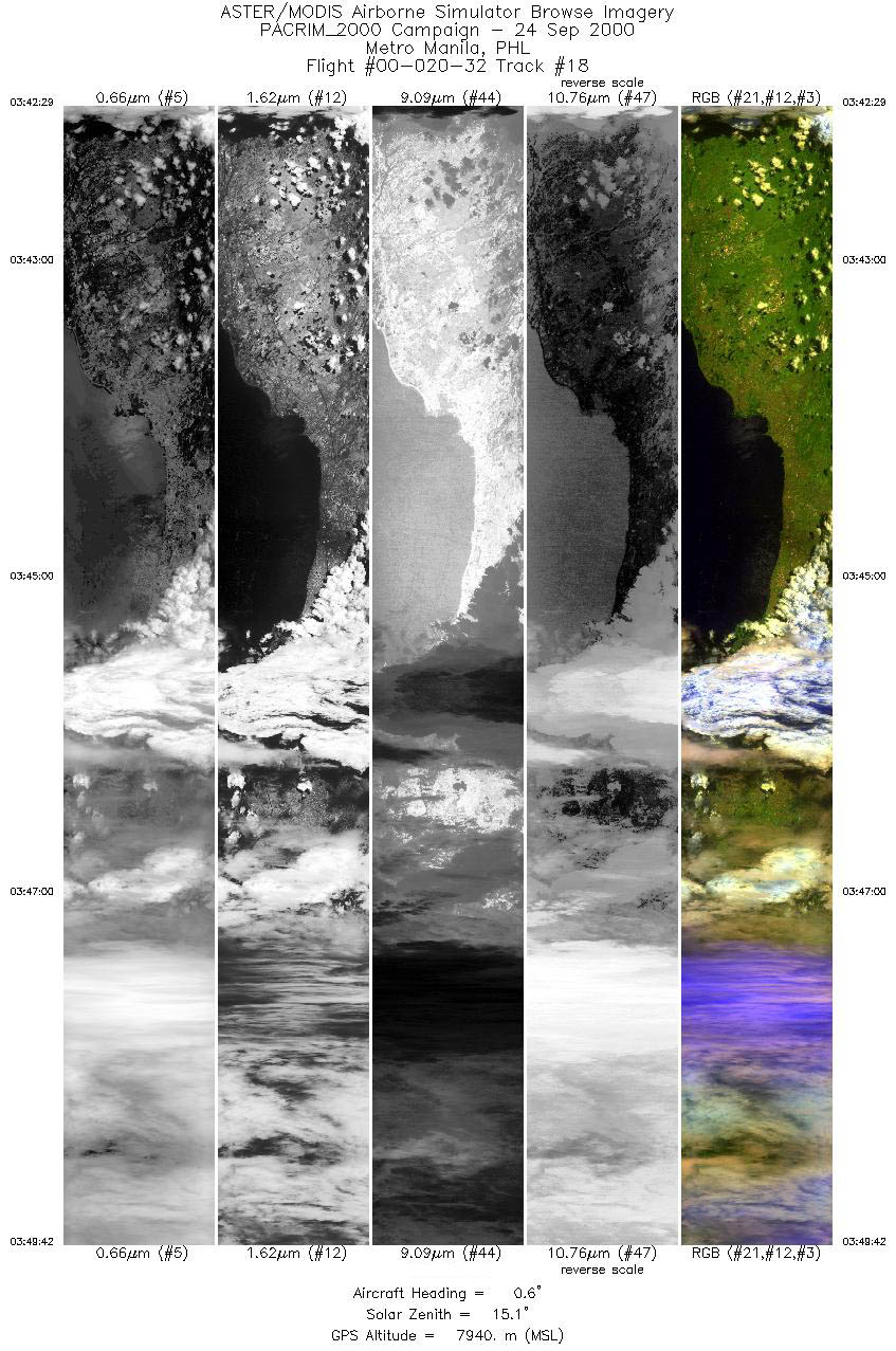
| 18 |
03:42 - 03:49 |
1.1 |
14.123 - 14.967 |
121.077 - 121.073 |
5385 |
7938 |
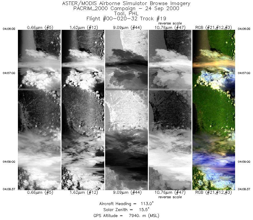
| 19 |
04:06 - 04:09 |
115.5 |
13.936 - 13.724 |
120.831 - 121.205 |
2689 |
7942 |
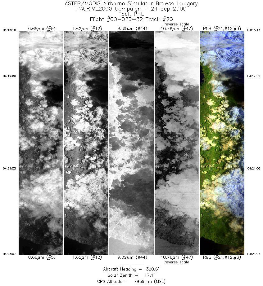
| 20 |
04:18 - 04:23 |
301.8 |
14.080 - 14.370 |
121.268 - 120.768 |
3619 |
7938 |
|


