


FLIGHT SUMMARY INFORMATION
Flight Track Map


|
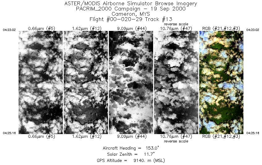
Flight: 00-020-29 Date: September 19, 2000 Aircraft: DC-8, Aircraft Number 817 Deployment: PACRIM II Flight Location: Malaysia Principal Investigator: MACRES Additional Sensors: AirSAR |
|||||||||||||||||||||||||||||||||||||||||||||||||||||||||||||||||||||||||||||||||||||||||||||||||||||||||||||||||||||||
|
Data Evaluation Dropped sacanlines in each flightline. Fair amount of spikes (bad pixel values) in video data, which correspond to the first band of each QUAD ADC card (channels 1,5,9,11,15,19,24,25). |
|||||||||||||||||||||||||||||||||||||||||||||||||||||||||||||||||||||||||||||||||||||||||||||||||||||||||||||||||||||||
|
Processing Information Level-1B Data in HDF format is available Flight Line Summary Spectral Band Configuration Spectral Response Function Table Spectral Response Function (text) |
|||||||||||||||||||||||||||||||||||||||||||||||||||||||||||||||||||||||||||||||||||||||||||||||||||||||||||||||||||||||
|
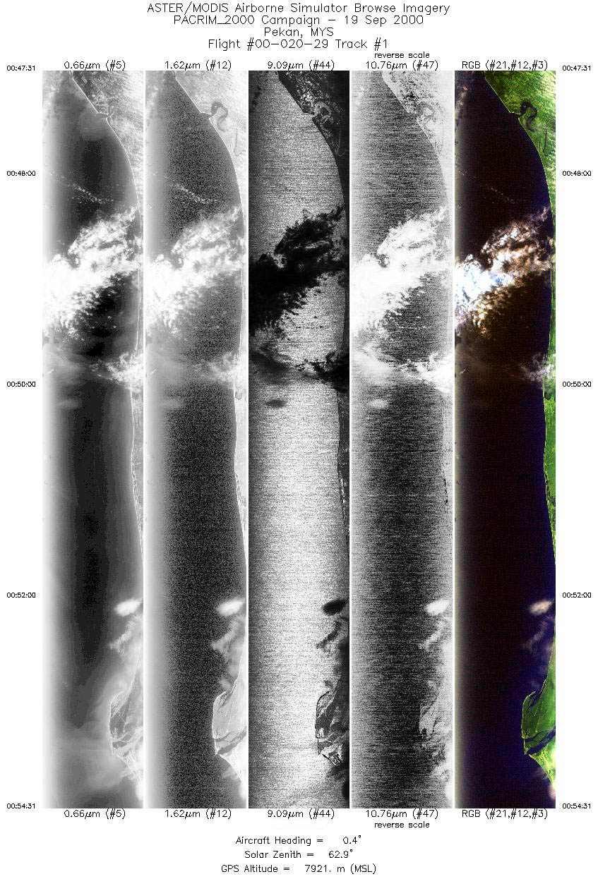
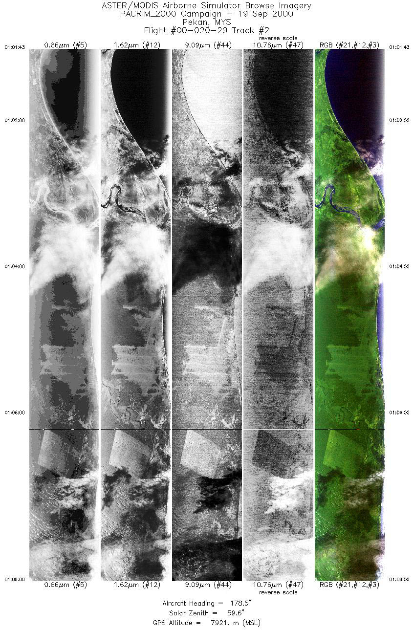
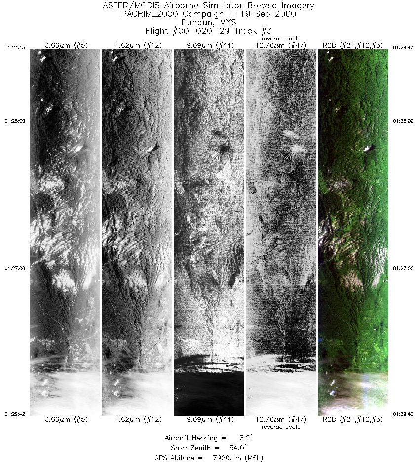
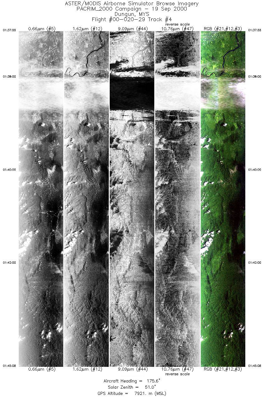
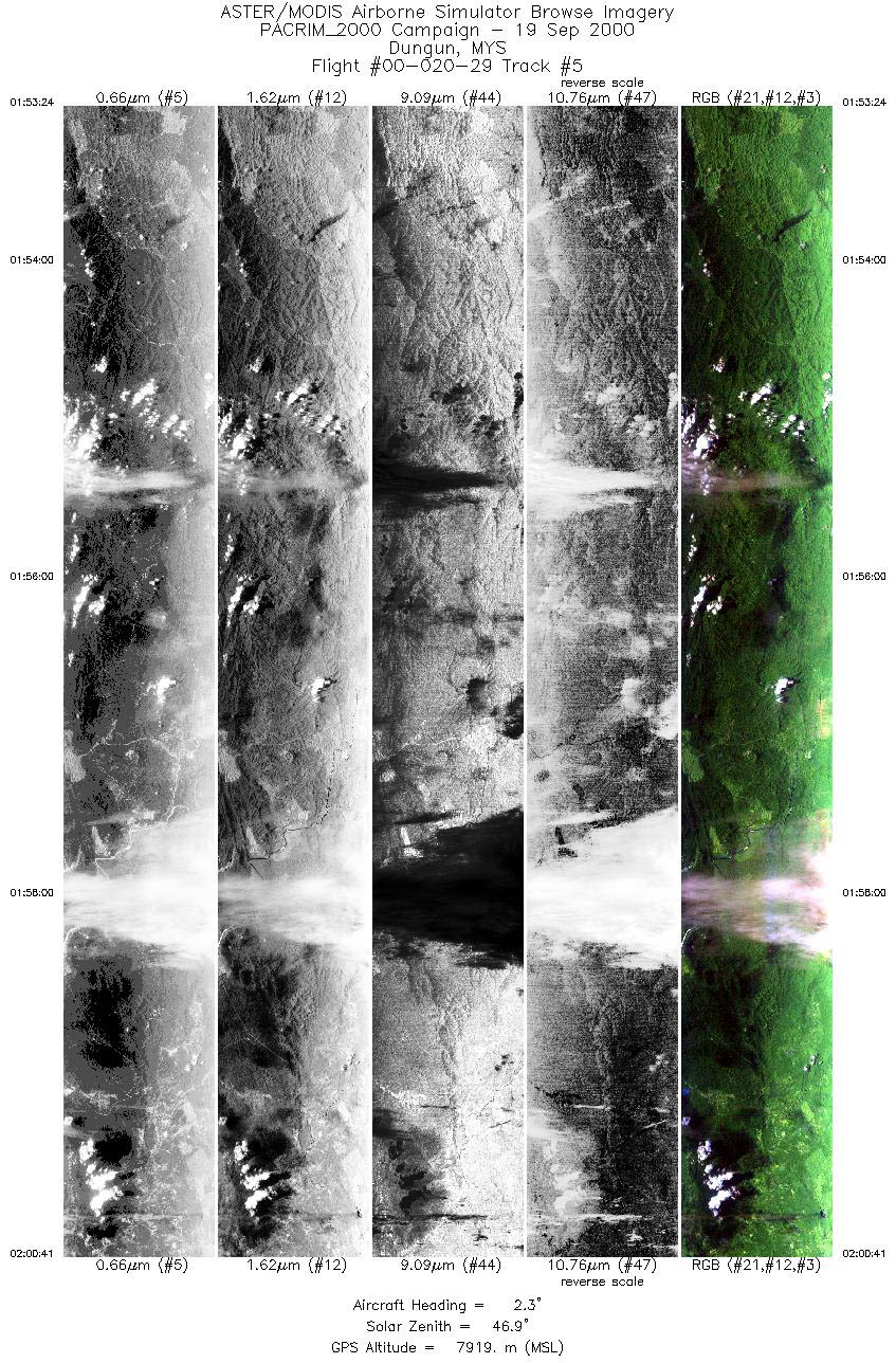
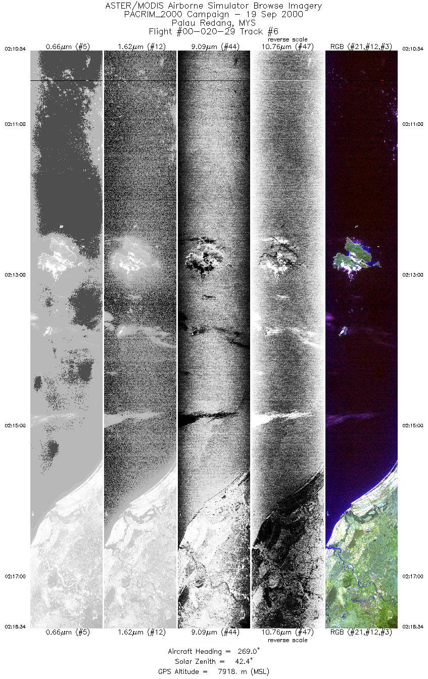
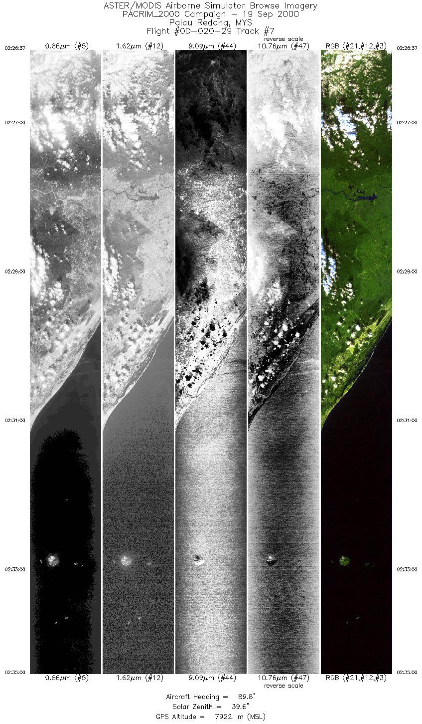
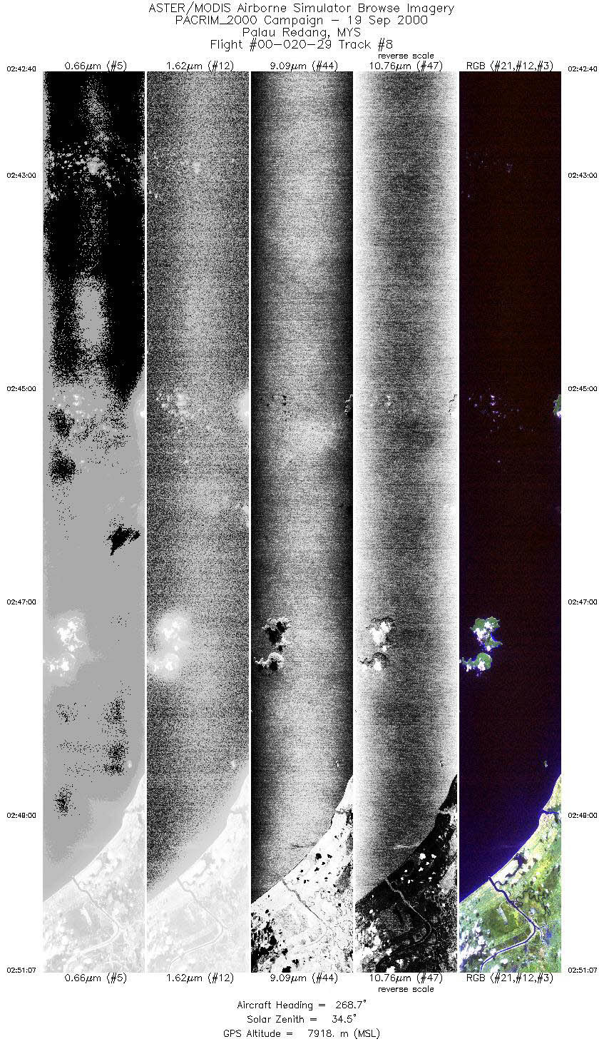
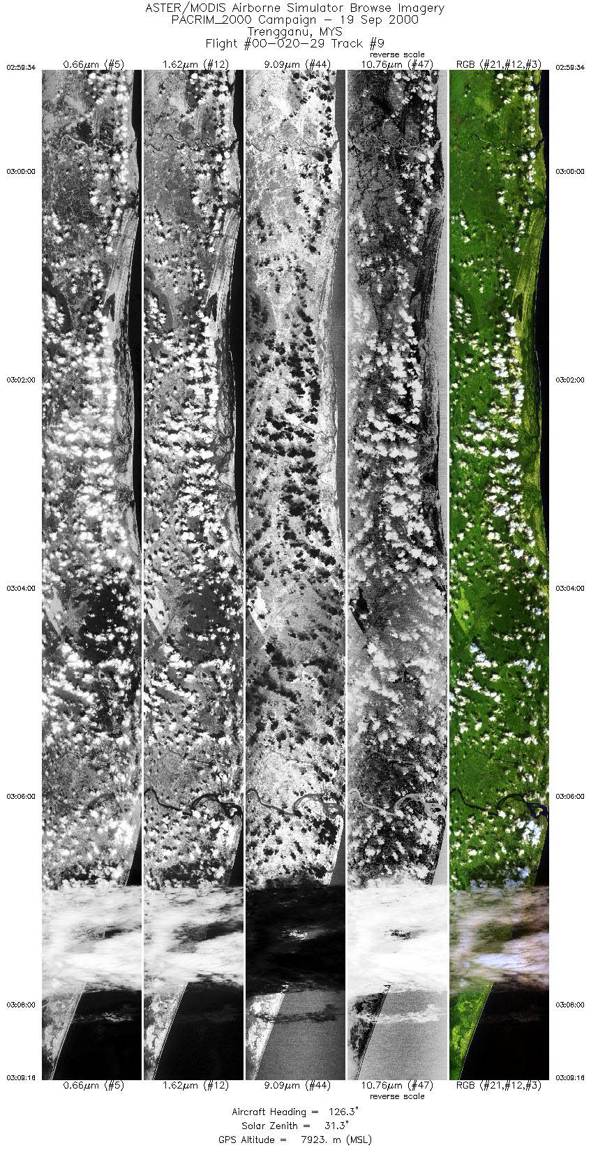
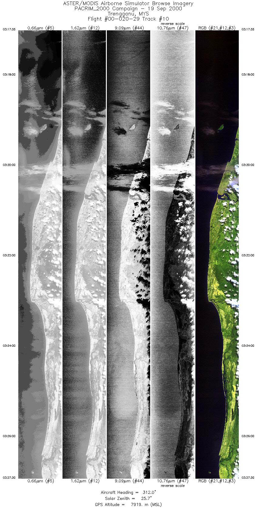
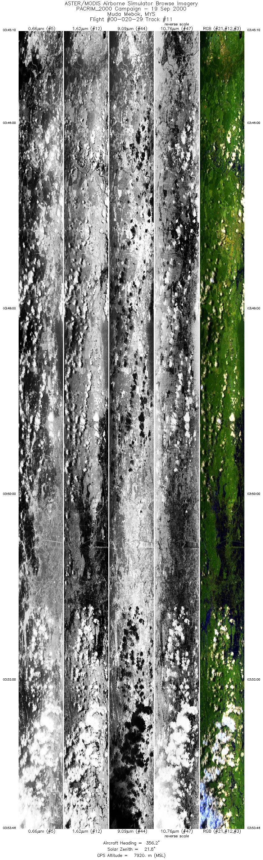
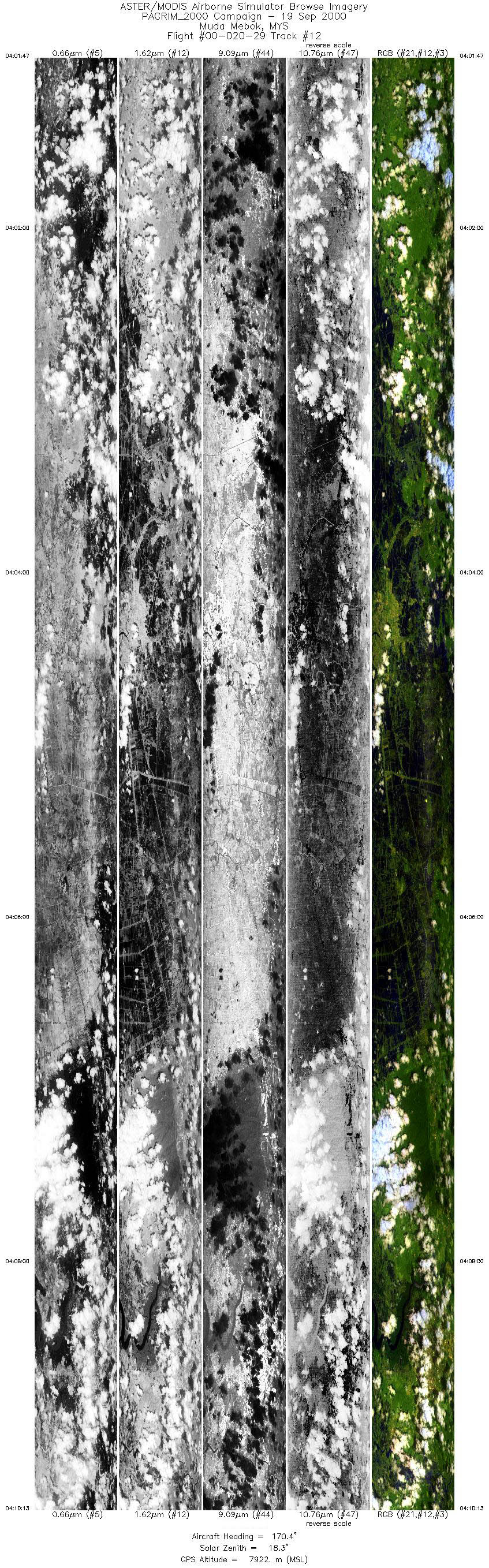
Browse Imagery Flight Tracks: 13 Scanlines: 85238 |
|||||||||||||||||||||||||||||||||||||||||||||||||||||||||||||||||||||||||||||||||||||||||||||||||||||||||||||||||||||||
|
|||||||||||||||||||||||||||||||||||||||||||||||||||||||||||||||||||||||||||||||||||||||||||||||||||||||||||||||||||||||


