


MODIS Airborne Simulator (MAS)
CAMPAIGN SUMMARY INFORMATION
|
Studies of Emissions and Atmospheric Composition, Clouds and Climate Coupling by Regional Surveys (SEAC4RS) Dates: 1 August - 2 October 2013 Location: Houston, Texas eMAS Principal Investigator: Dr. Steven Platnick (NASA GSFC) Configuration: 38 Channel Additional Sensors: AIRMSPI, BBR, CO-ALIAS, CPL, H20v, JLH, MMS, MTP, O3, PCRS, RSP, SSFR, WAS Objective: Attention will be given to the influence of biomass burning and pollution, their temporal evolution, and ultimately impacts on meteorological processes which in turn feed back into regional air quality. With respect to meteorological feedbacks, the opportunity to examine the impact of polluting aerosols on cloud properties and ultimately dynamics will be of particular interest. |
|||||||||||||||||||||||||||||||||||||||||||||
|
Processing Information Flights Processed: 19 Total Flight Tracks: 392 Total Scanlines: 2032503 Level-1B Version: 1.0 Calibration Type: Final Calibration Version: 1.0 Temperature Adjustment: None Status: Level-1B data is available in HDF format |
|||||||||||||||||||||||||||||||||||||||||||||
|
eMAS Spectral Information Spectral Band Configuration Spectral Response Function Table eMAS Solar Reflectance Band Calibration for SEAC4RS |
|||||||||||||||||||||||||||||||||||||||||||||
|
Level-1B and Level-2 Data Distribution Level 1 and Level 2 / Atmosphere Archive and Distribution System (LAADS) |
|||||||||||||||||||||||||||||||||||||||||||||
|
|||||||||||||||||||||||||||||||||||||||||||||
|
|||||||||||||||||||||||||||||||||||||||||||||
|
Related Web Sites Official SEAC4RS Home Page NASA Airborne Science Program |
|||||||||||||||||||||||||||||||||||||||||||||
 Flight: 13-948
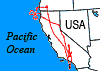 Flight: 13-949
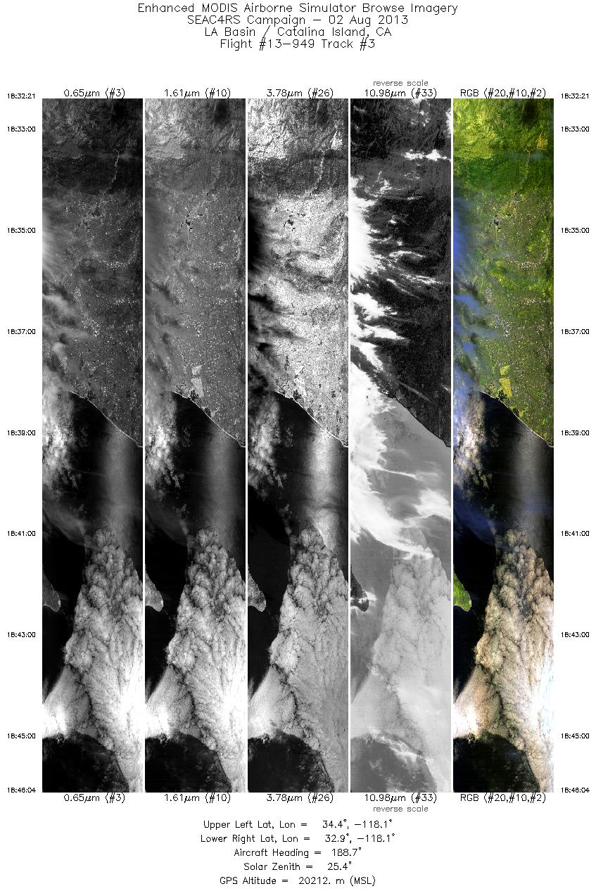
 Flight: 13-950
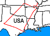 Flight: 13-953
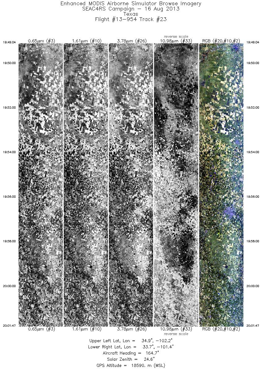
 Flight: 13-954
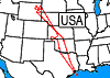 Flight: 13-955
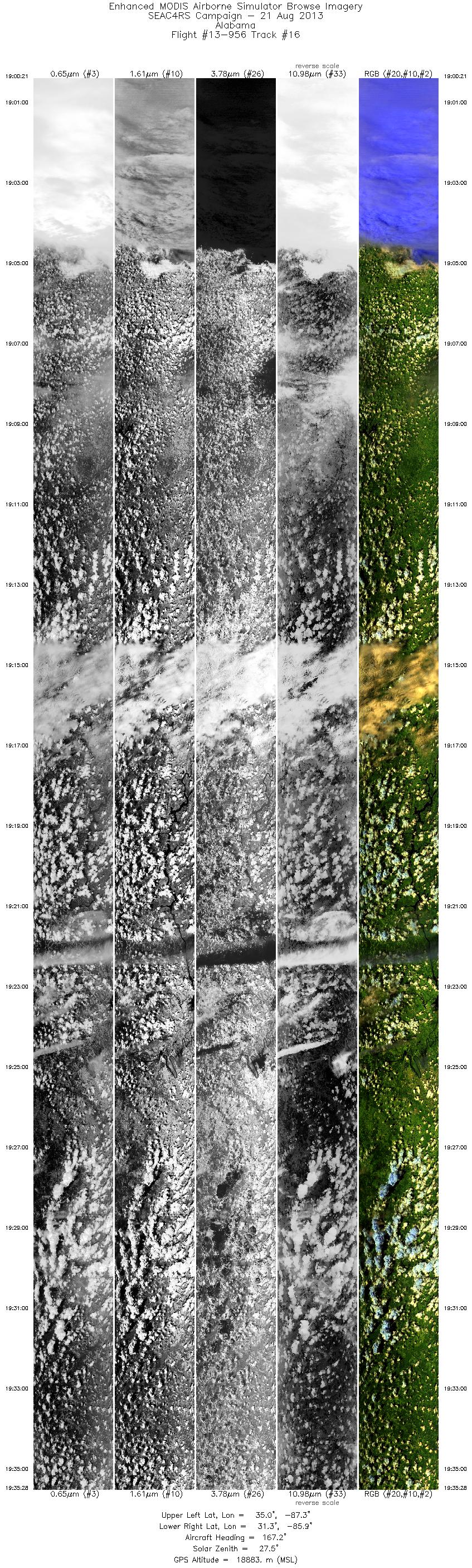
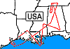 Flight: 13-956
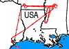 Flight: 13-957
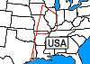 Flight: 13-958
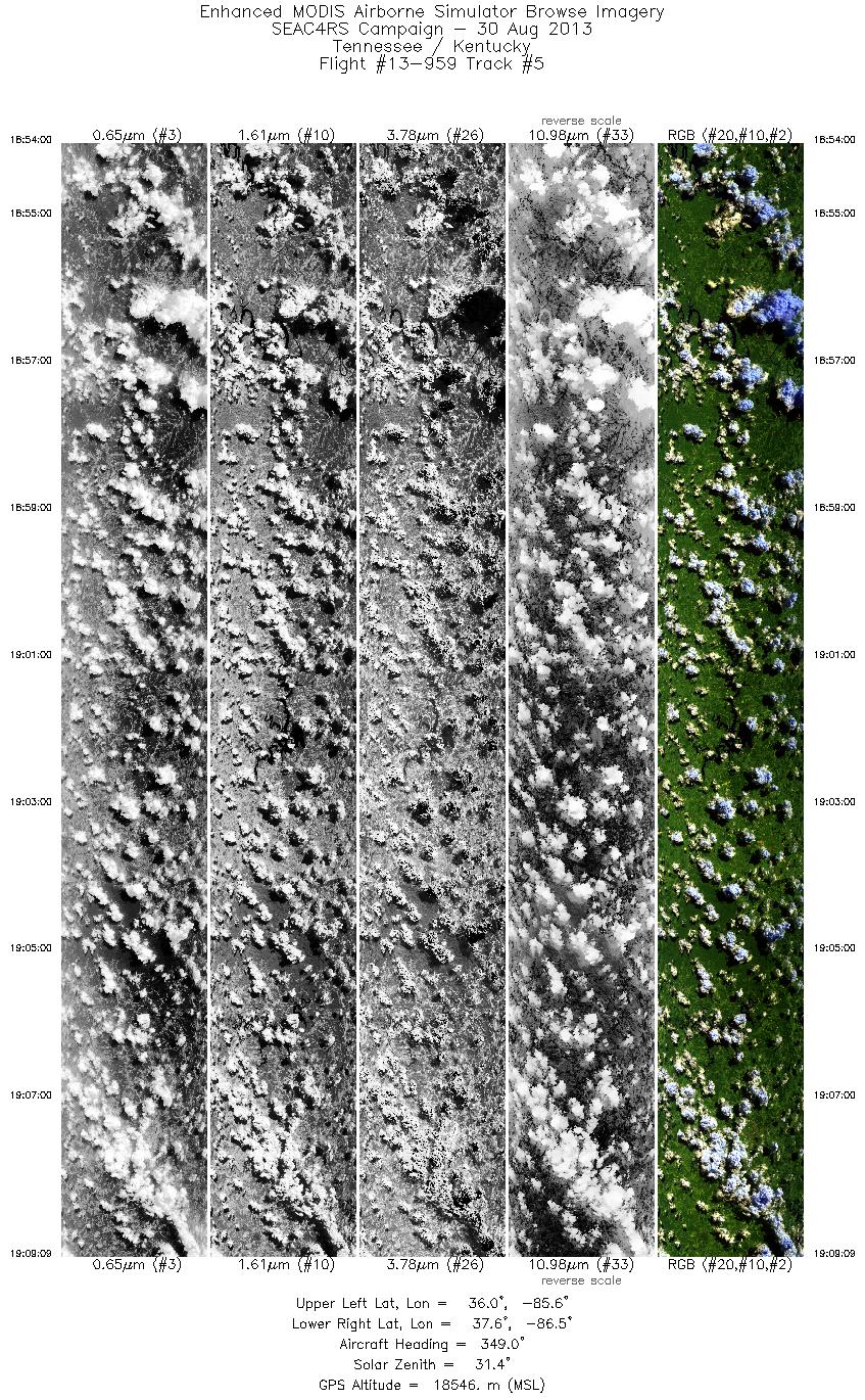
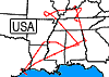 Flight: 13-959
 Flight: 13-961
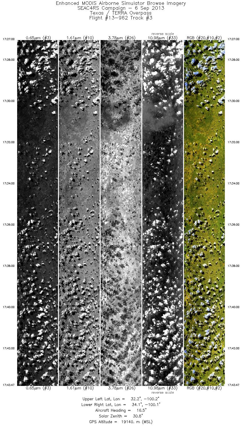
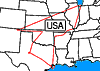 Flight: 13-962
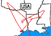 Flight: 13-963
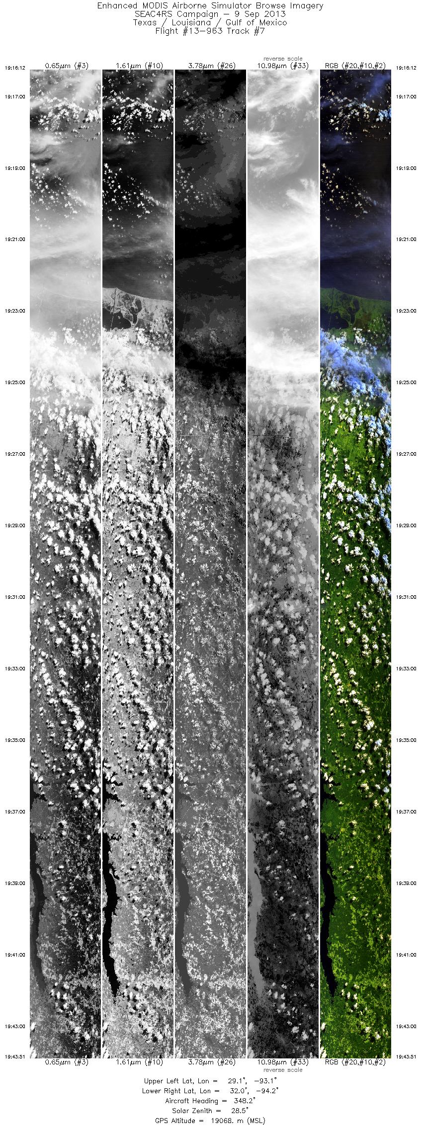
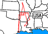 Flight: 13-964
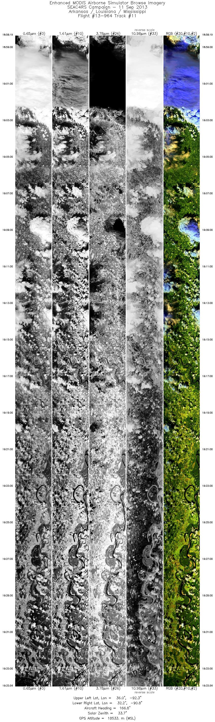
 Flight: 13-965
 Flight: 13-966
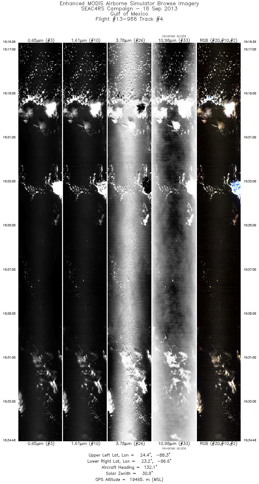
 Flight: 13-967
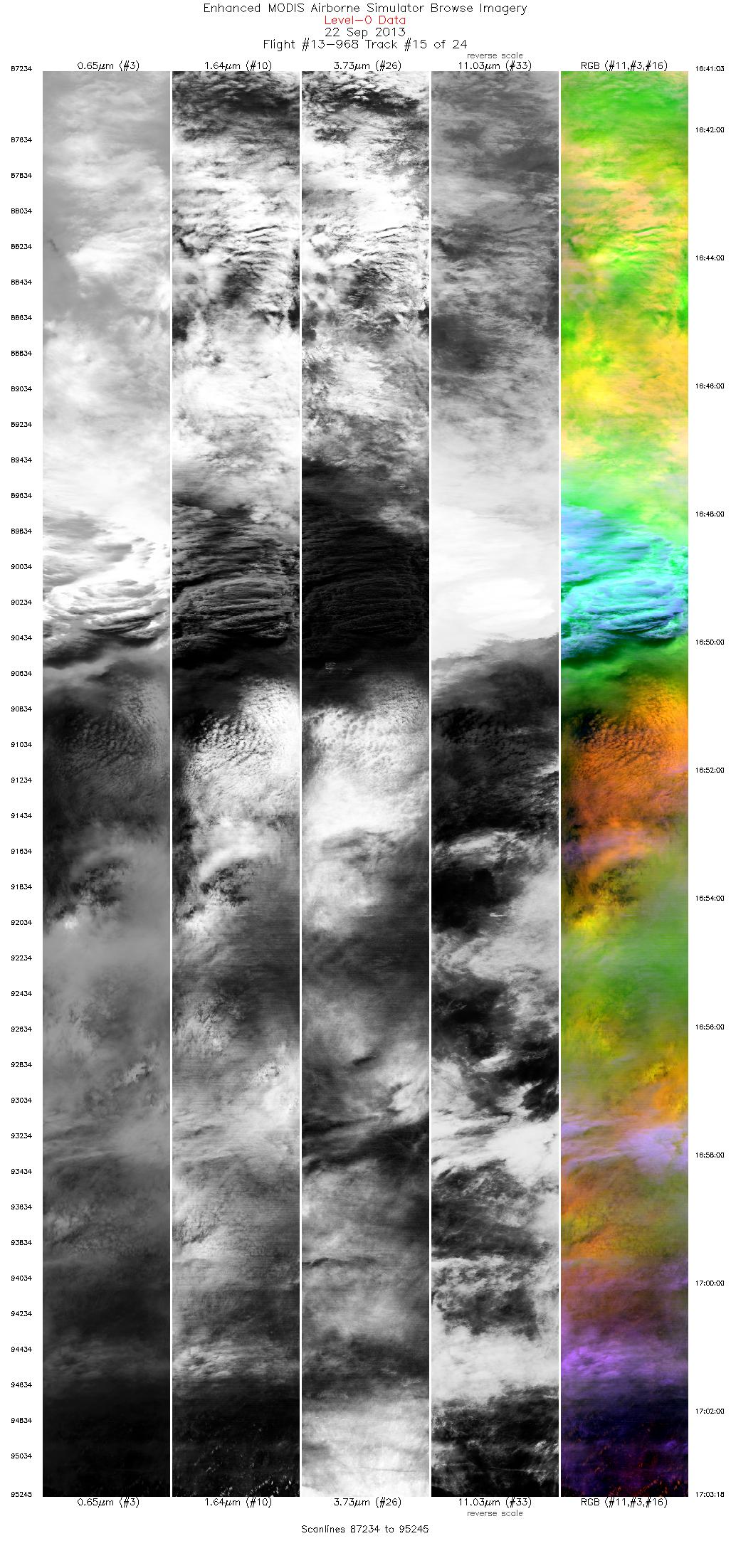
 Flight: 13-968
 Flight: 13-969
SEAC4RS


| Sample Imagery |
| Click image for full resolution |
|
Flight: 13-949, Track #18 Aspen Fire, CA |


|
|
R: 3.78µm G: 0.86µm B: 0.55µm |
- NASA Official: Matt Fladeland
- Project Manager: James Jacobson
- Website Editor: Eric Fraim
- Last Updated: March 21, 2024


