


MODIS Airborne Simulator (MAS)
FLIGHT SUMMARY INFORMATION
Flight Track Map


|
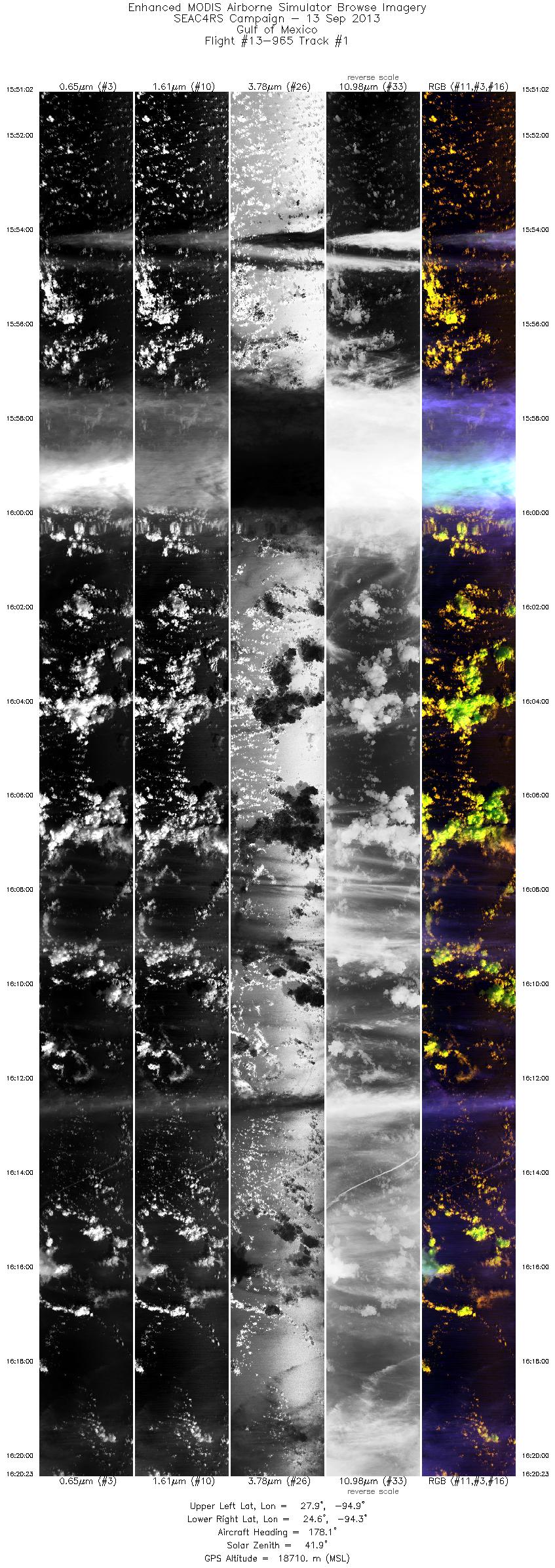
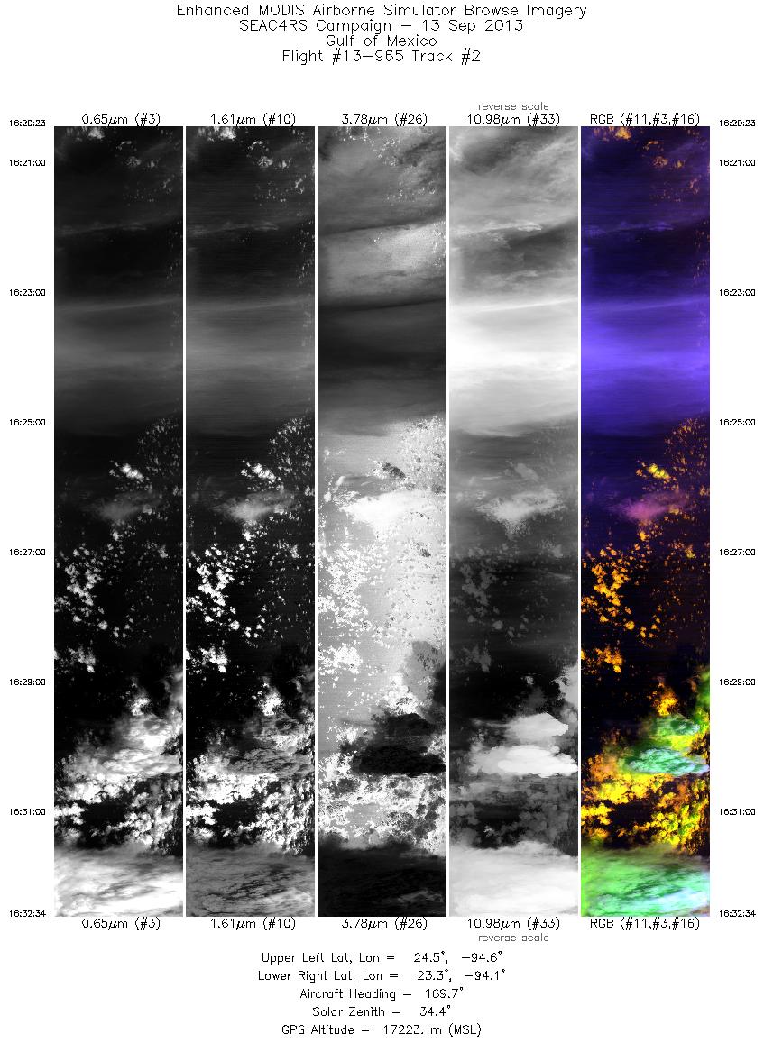
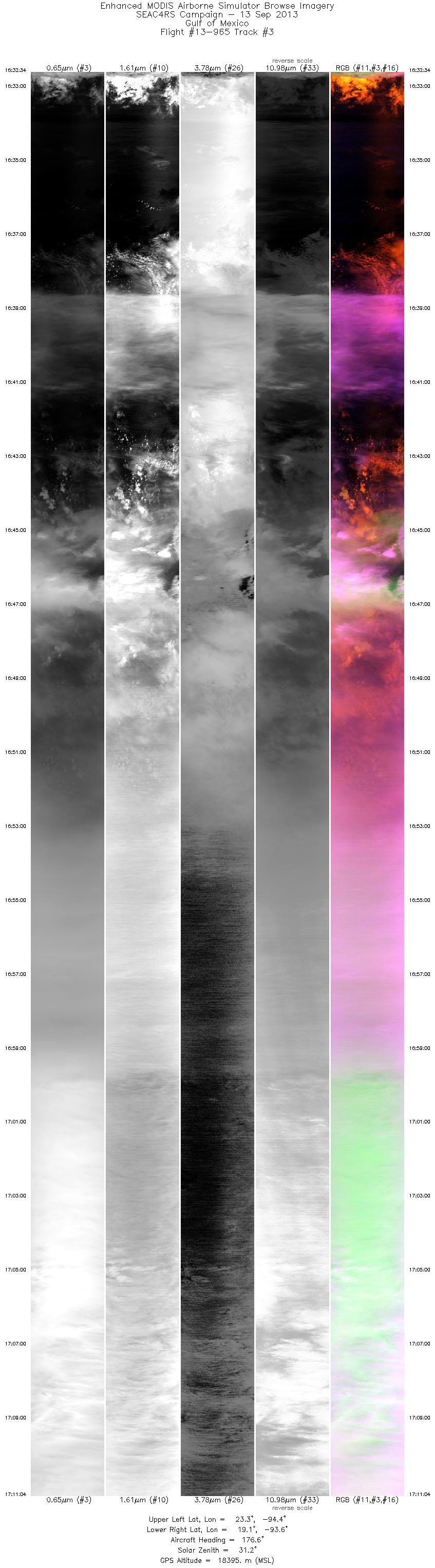
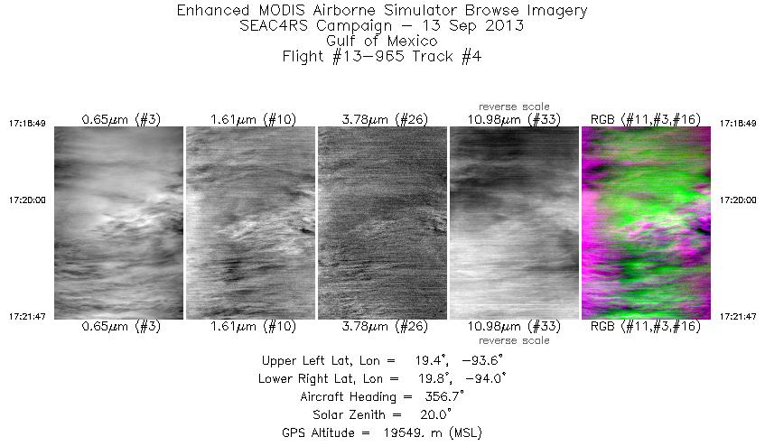
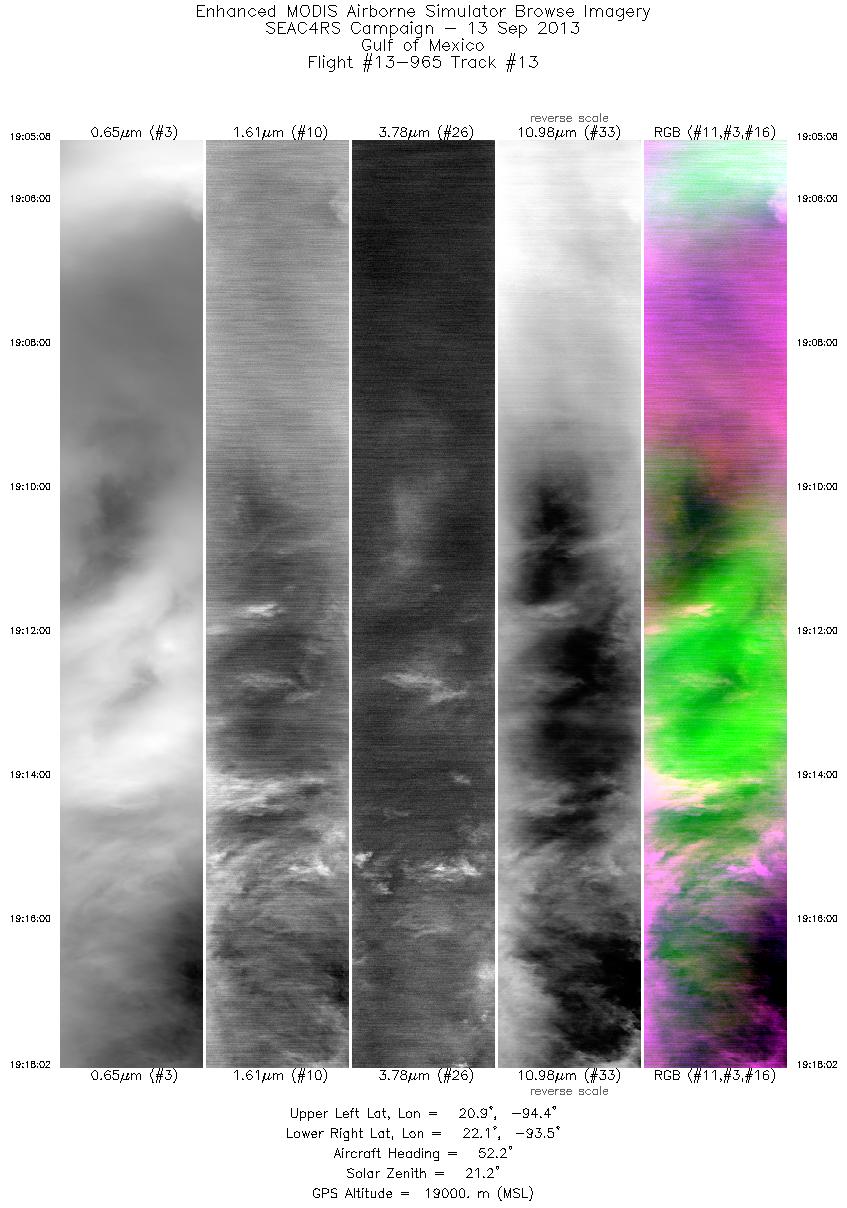
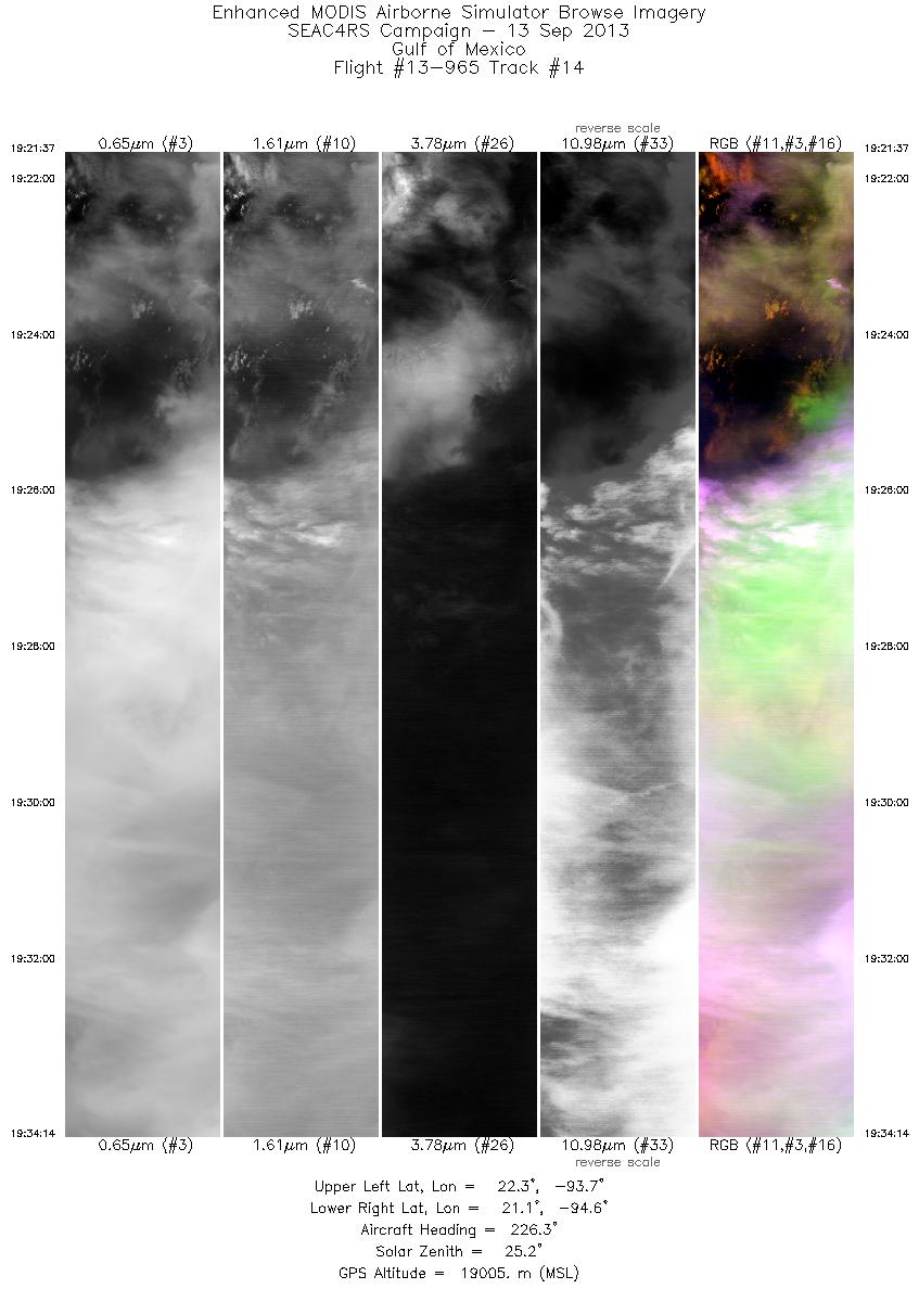
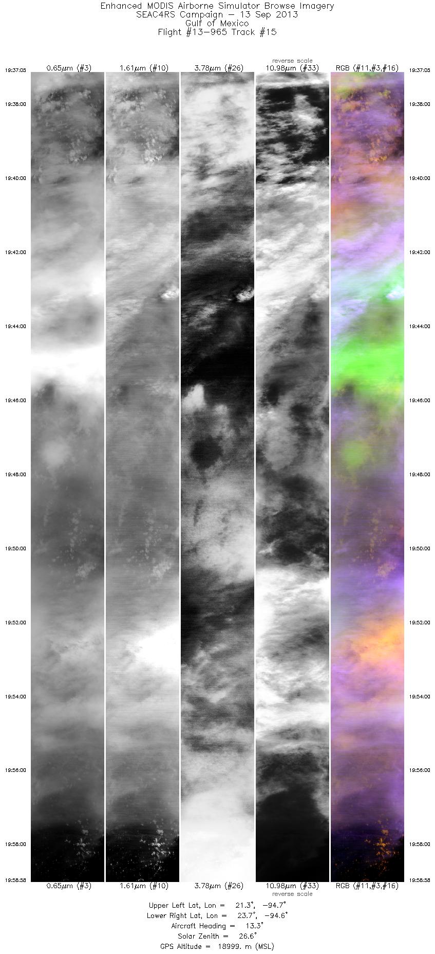
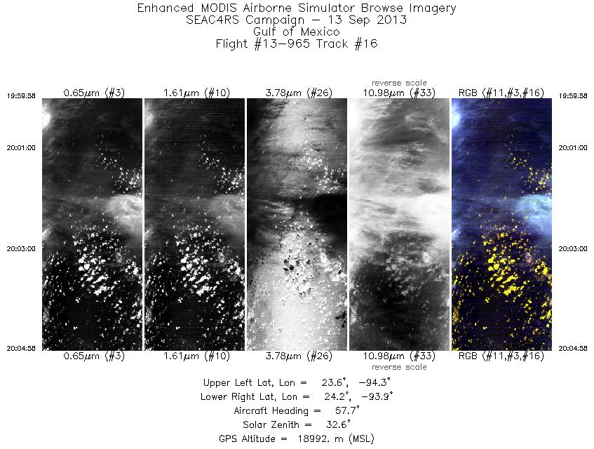
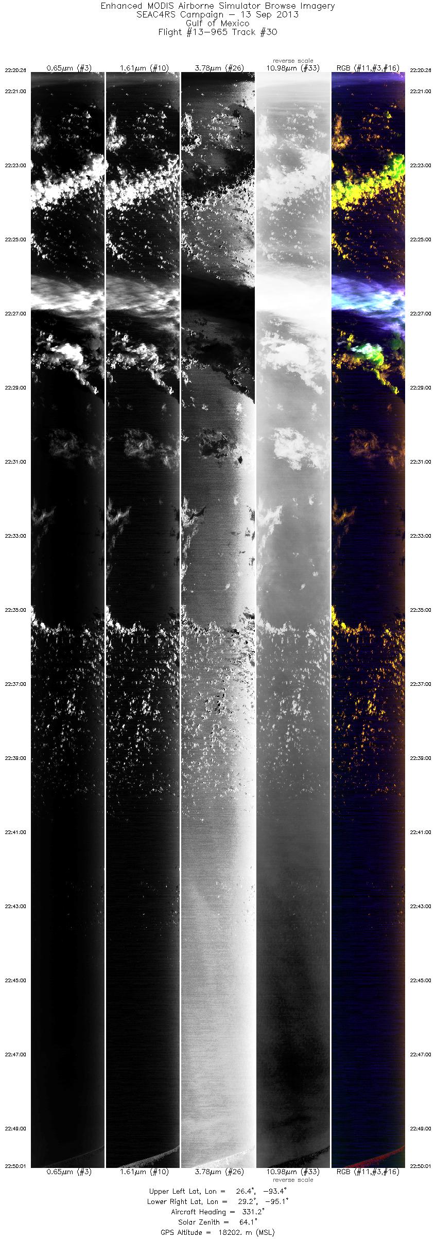
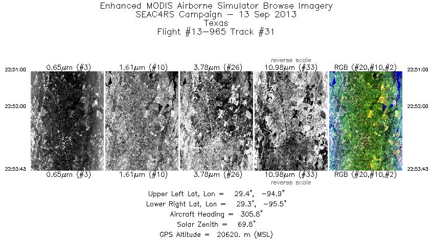
Flight: 13-965 Date: 13 September 2013 Location: Gulf Of Mexico Deployment: SEAC4RS Principal Investigators: Dr. Steven Platnick (NASA GSFC) Configuration: 38 Channel Additional Sensors: SEAC4RS Payload |
||||||||||||||||||||||||||||||||||||||||||||||||||||||||||||||||||||||||||||||||||||||||||||||||||||||||||||||||||||||||||||||||||||||||||||||||||||||||||||||||||||||||||||||||||||||||||||||||||||||||||||||||||||||||||||||||||||||||||||||||||||||||||||
|
Data Evaluation Overall quality is fair Flight lines 4,7-27 level flight - altitude 62k Flight lines 1-3,5-6,28-31 chemistry profiles (altitude up/down) |
||||||||||||||||||||||||||||||||||||||||||||||||||||||||||||||||||||||||||||||||||||||||||||||||||||||||||||||||||||||||||||||||||||||||||||||||||||||||||||||||||||||||||||||||||||||||||||||||||||||||||||||||||||||||||||||||||||||||||||||||||||||||||||
|
Processing Information Flight Line Summary Spectral Band Configuration Spectral Response Function Table eMAS Solar Reflectance Band Calibration for SEAC4RS |
||||||||||||||||||||||||||||||||||||||||||||||||||||||||||||||||||||||||||||||||||||||||||||||||||||||||||||||||||||||||||||||||||||||||||||||||||||||||||||||||||||||||||||||||||||||||||||||||||||||||||||||||||||||||||||||||||||||||||||||||||||||||||||
|
Level-1B and Level-2 Data Distribution Level 1 and Level 2 / Atmosphere Archive and Distribution System (LAADS) |
||||||||||||||||||||||||||||||||||||||||||||||||||||||||||||||||||||||||||||||||||||||||||||||||||||||||||||||||||||||||||||||||||||||||||||||||||||||||||||||||||||||||||||||||||||||||||||||||||||||||||||||||||||||||||||||||||||||||||||||||||||||||||||
|
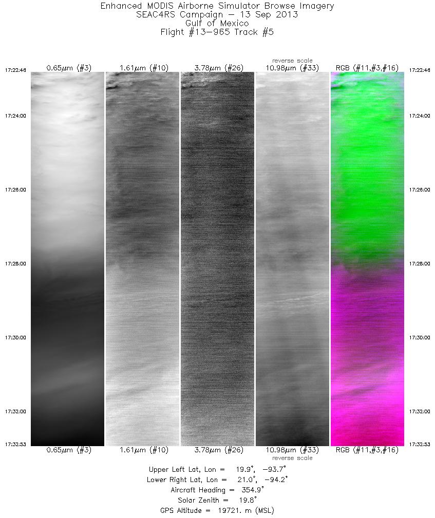
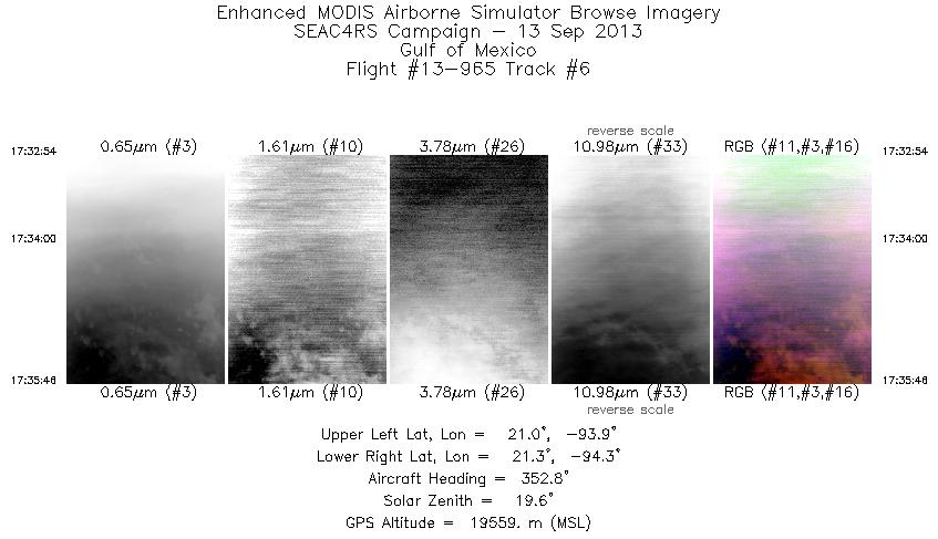
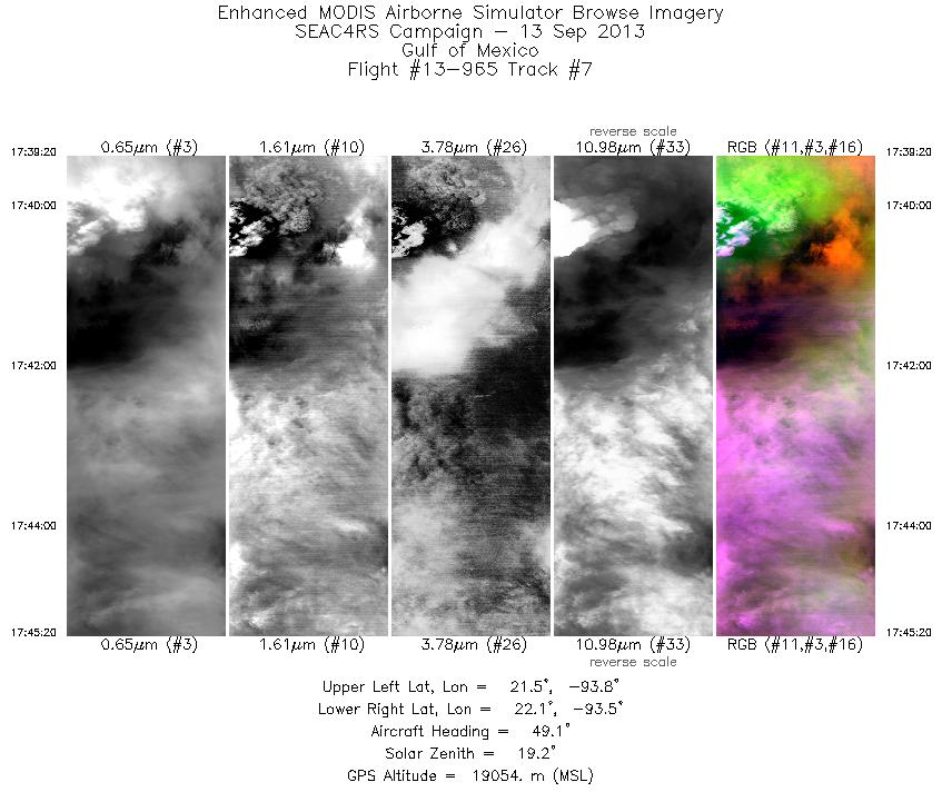
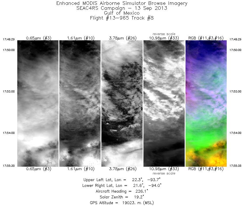
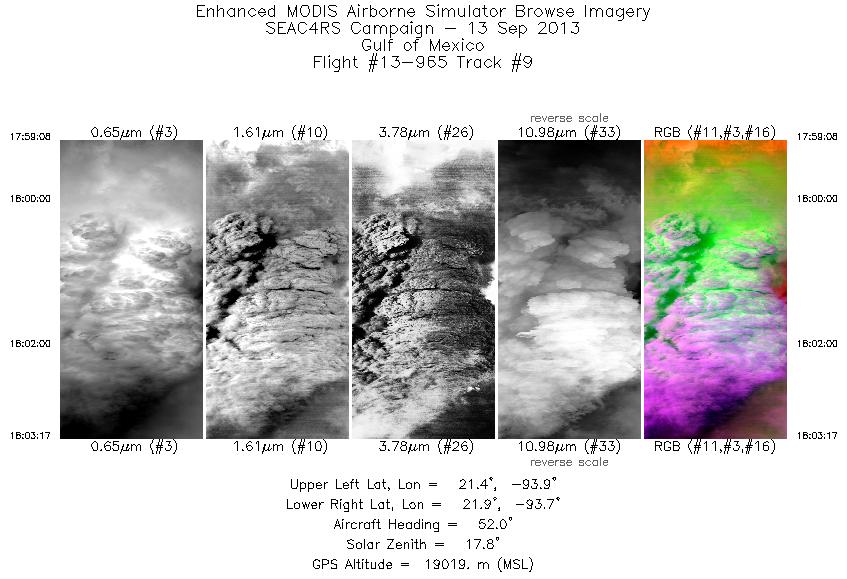
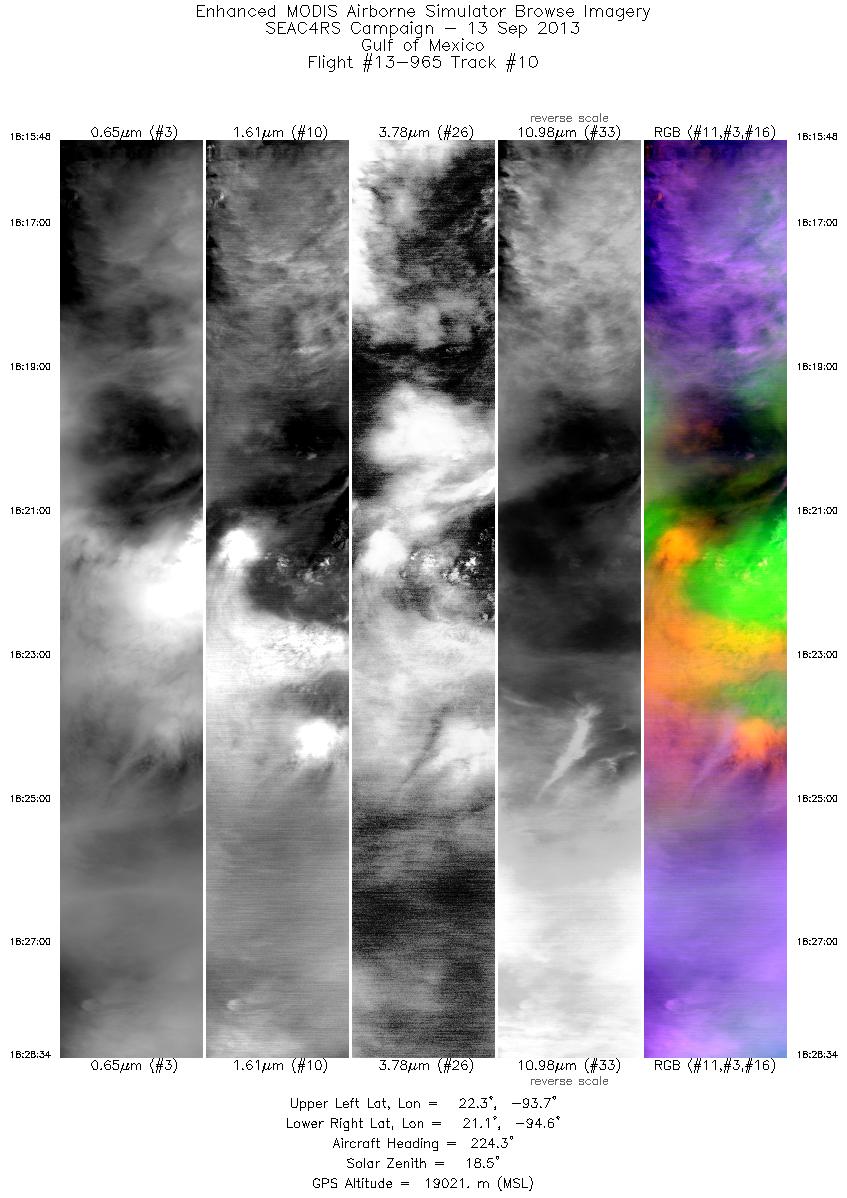
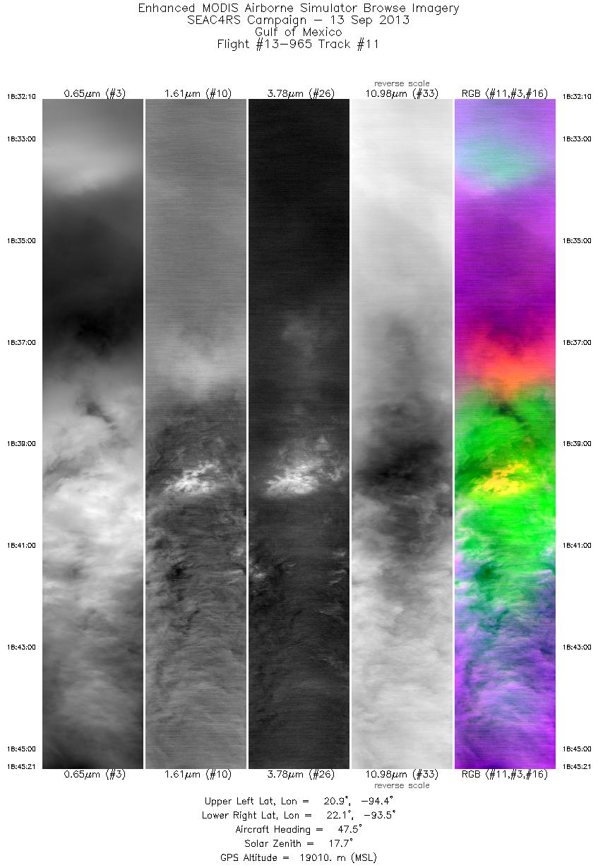
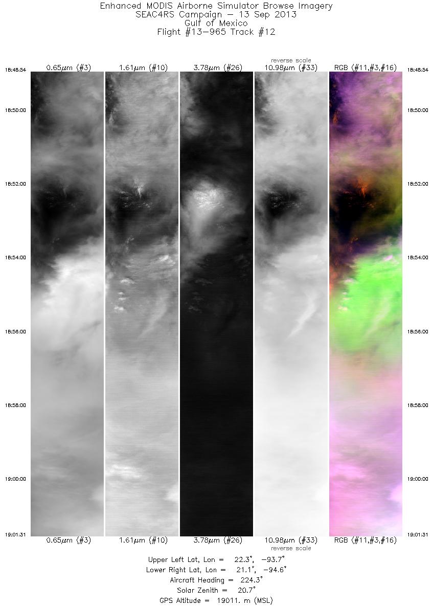
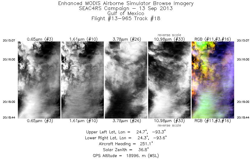
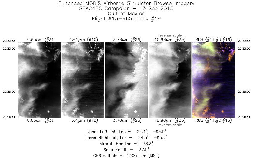
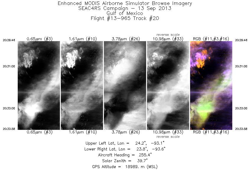
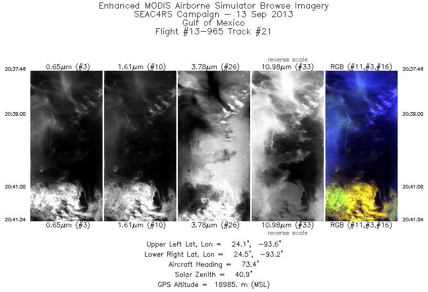
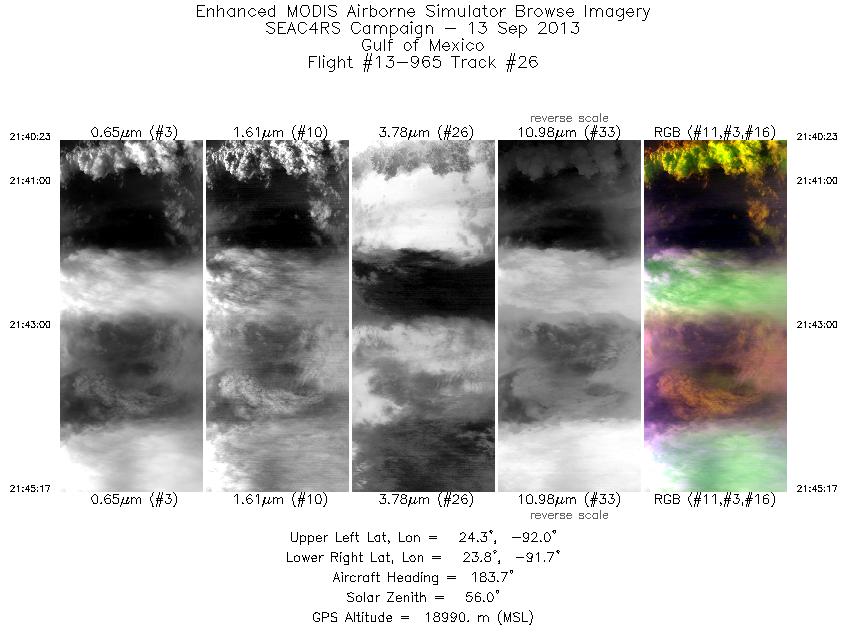
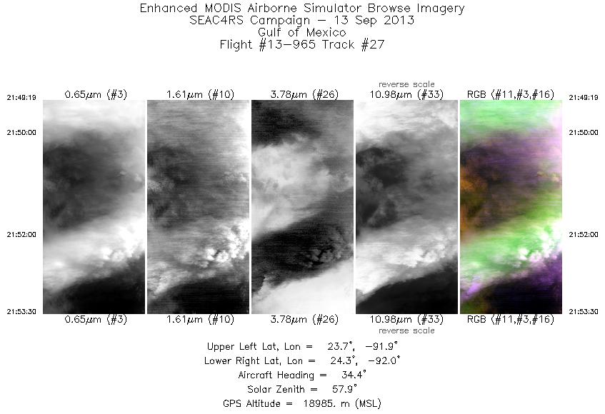
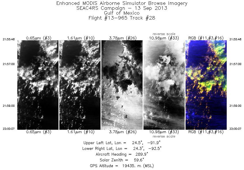
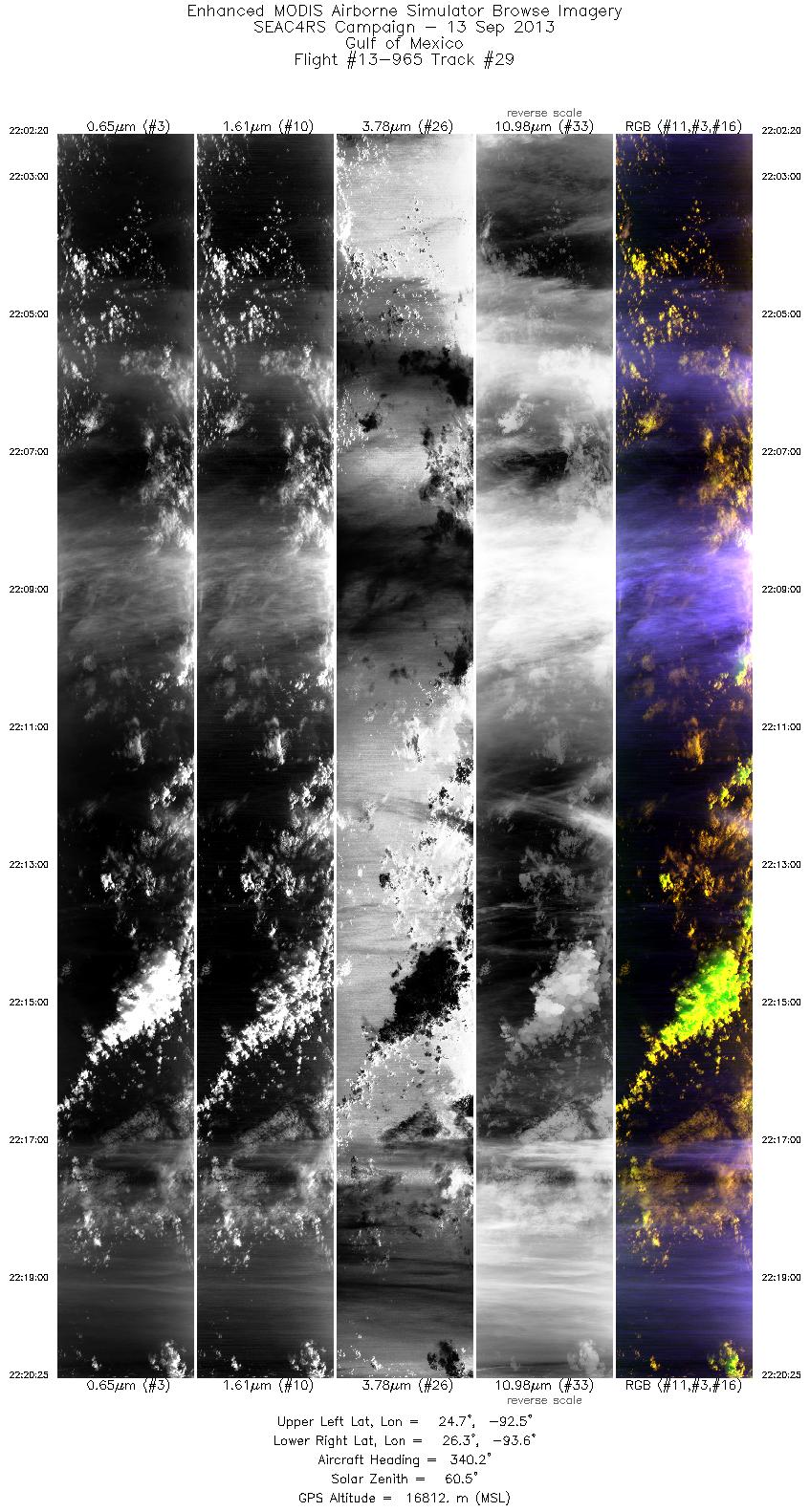
Browse Imagery Flight Tracks: 31 Scanlines: 114324 |
||||||||||||||||||||||||||||||||||||||||||||||||||||||||||||||||||||||||||||||||||||||||||||||||||||||||||||||||||||||||||||||||||||||||||||||||||||||||||||||||||||||||||||||||||||||||||||||||||||||||||||||||||||||||||||||||||||||||||||||||||||||||||||
|
||||||||||||||||||||||||||||||||||||||||||||||||||||||||||||||||||||||||||||||||||||||||||||||||||||||||||||||||||||||||||||||||||||||||||||||||||||||||||||||||||||||||||||||||||||||||||||||||||||||||||||||||||||||||||||||||||||||||||||||||||||||||||||

Flight 13-965


| Sample Imagery |
| Click image for full resolution |
|
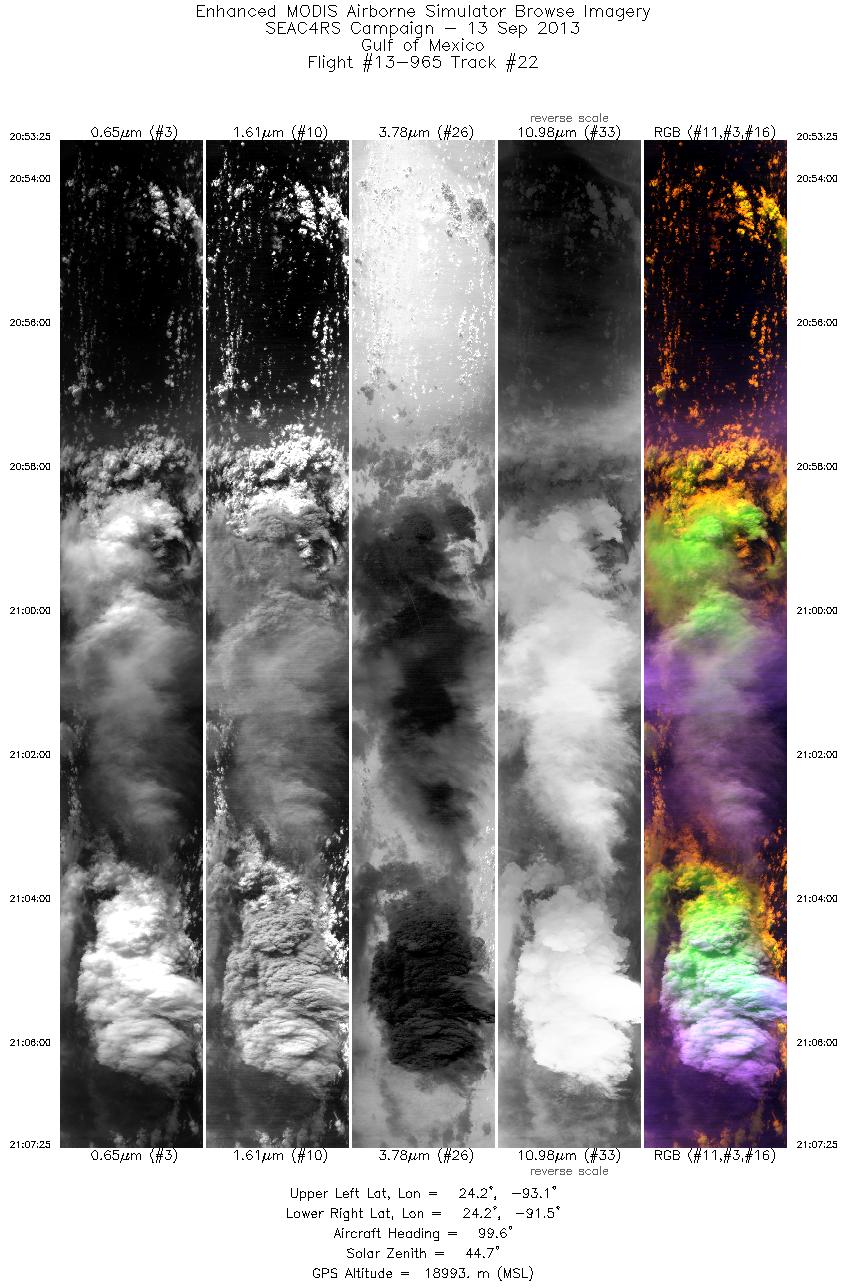
Track: #22 Gulf of Mexico |


|
|
R: 1.66µm G: 0.65µm B: 1.93µm |
| Click image for full resolution |
|
Track: #22 Gulf of Mexico |

|
|
R: 0.70µm G: 1.61µm B: 1.82µm |
- NASA Official: Matt Fladeland
- Project Manager: James Jacobson
- Website Editor: Eric Fraim
- Last Updated: November 16, 2021