


MODIS Airborne Simulator (MAS)
Flight Summary Information
FLIGHT SUMMARY INFORMATION
Flight Track Map


|
Flight: 13-954 Date: 16 August 2013 Location: Texas Deployment: SEAC4RS Principal Investigator: Dr. Steven Platnick (NASA GSFC) Configuration: 38 Channel Additional Sensors: SEAC4RS Payload |
|||||||||||||||||||||||||||||||||||||||||||||||||||||||||||||||||||||||||||||||||||||||||||||||||||||||||||||||||||||||||||||||||||||||||||||||||||||||||||||||||||||||||||||||||||||||||||||||||||||||||||||||||||||||||
|
Data Evaluation Overall quality is fair SNPP Overpass @ 20:00 UTC |
|||||||||||||||||||||||||||||||||||||||||||||||||||||||||||||||||||||||||||||||||||||||||||||||||||||||||||||||||||||||||||||||||||||||||||||||||||||||||||||||||||||||||||||||||||||||||||||||||||||||||||||||||||||||||
|
Processing Information Flight Line Summary Spectral Band Configuration Spectral Response Function Table eMAS Solar Reflectance Band Calibration for SEAC4RS |
|||||||||||||||||||||||||||||||||||||||||||||||||||||||||||||||||||||||||||||||||||||||||||||||||||||||||||||||||||||||||||||||||||||||||||||||||||||||||||||||||||||||||||||||||||||||||||||||||||||||||||||||||||||||||
|
Level-1B and Level-2 Data Distribution Level 1 and Level 2 / Atmosphere Archive and Distribution System (LAADS) |
|||||||||||||||||||||||||||||||||||||||||||||||||||||||||||||||||||||||||||||||||||||||||||||||||||||||||||||||||||||||||||||||||||||||||||||||||||||||||||||||||||||||||||||||||||||||||||||||||||||||||||||||||||||||||
|
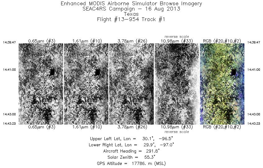
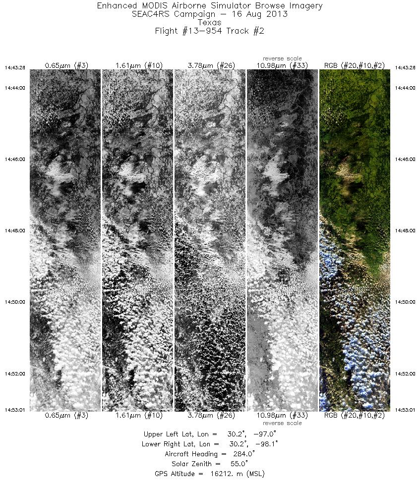
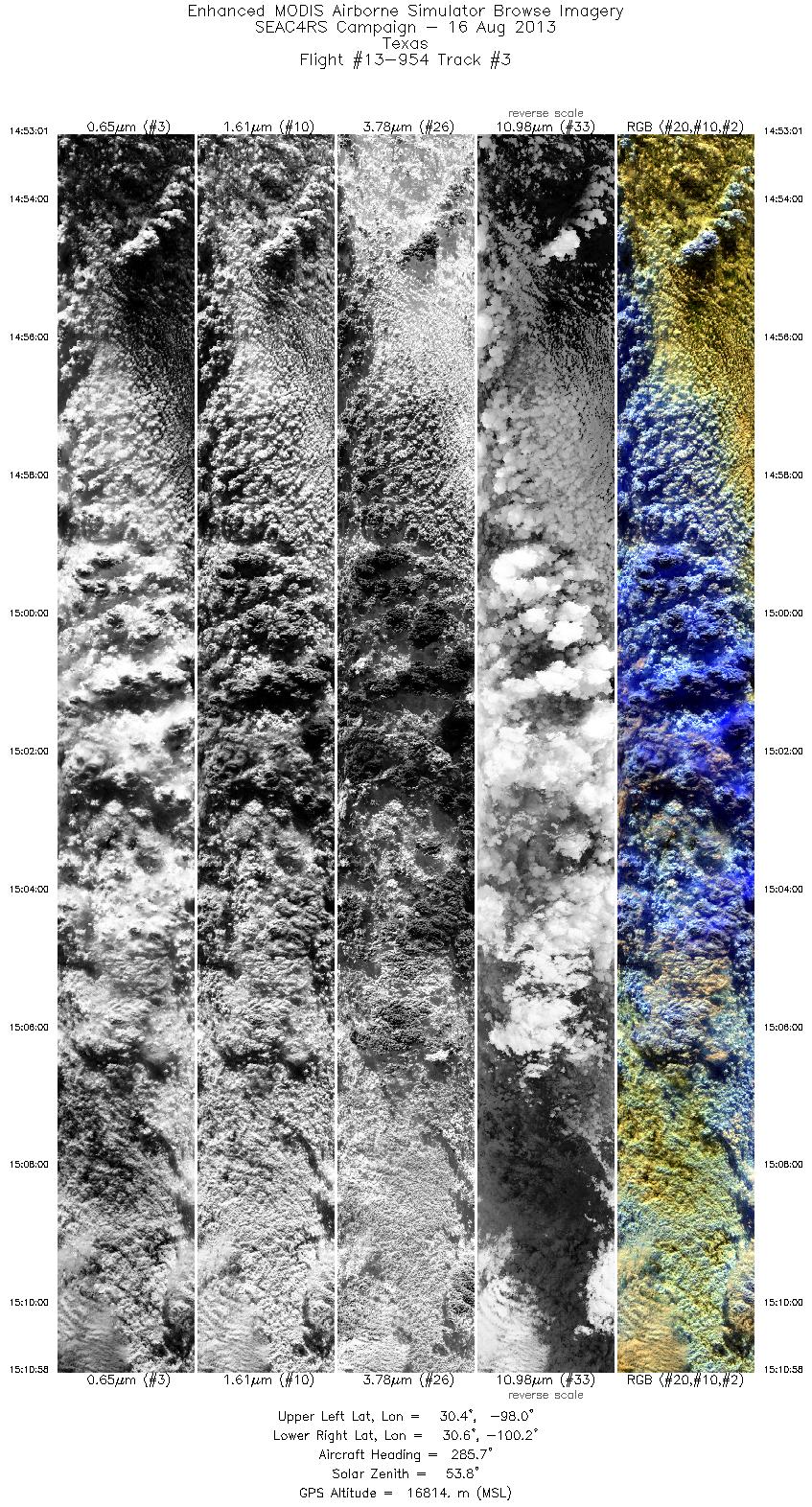
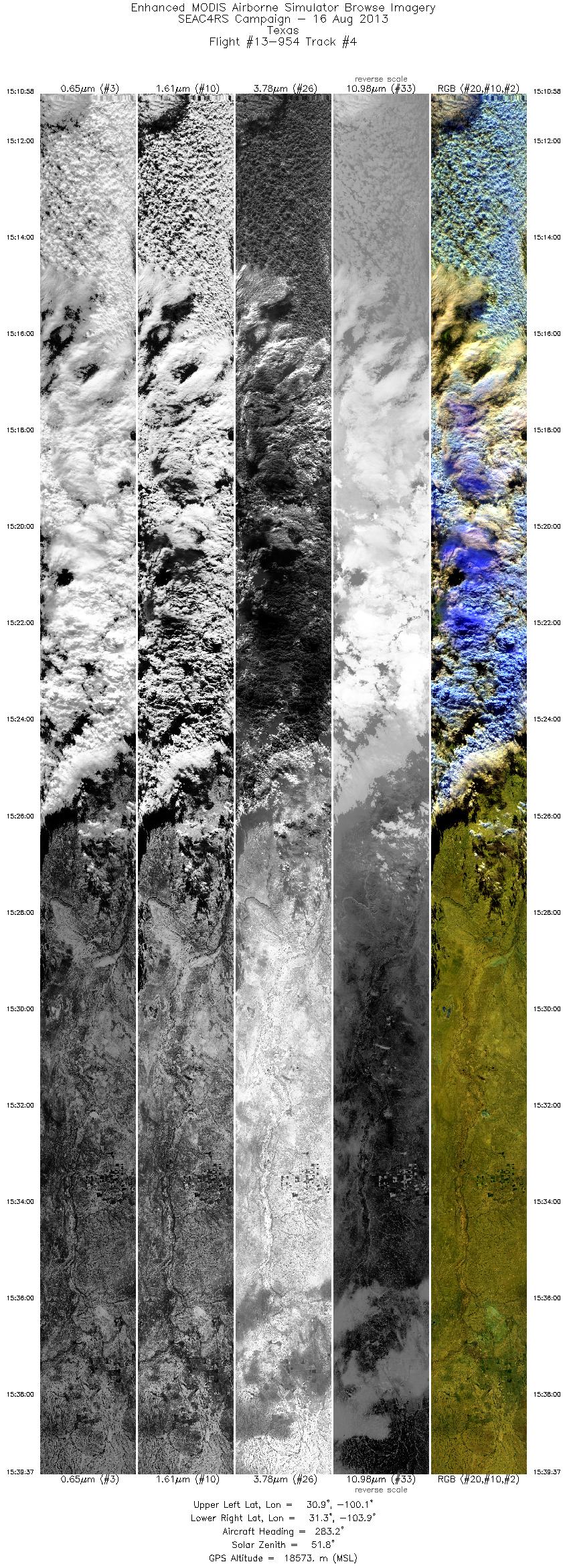
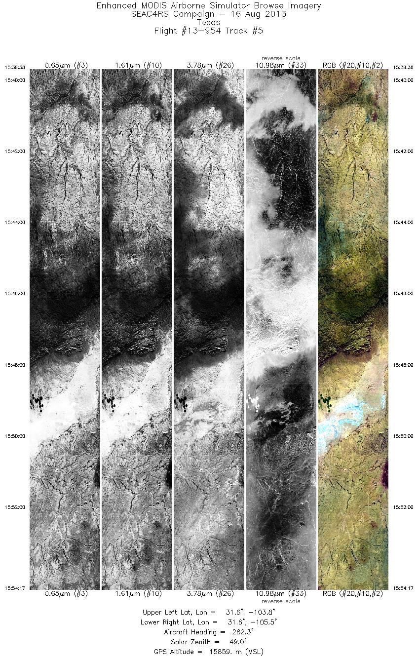
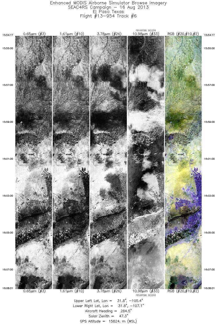
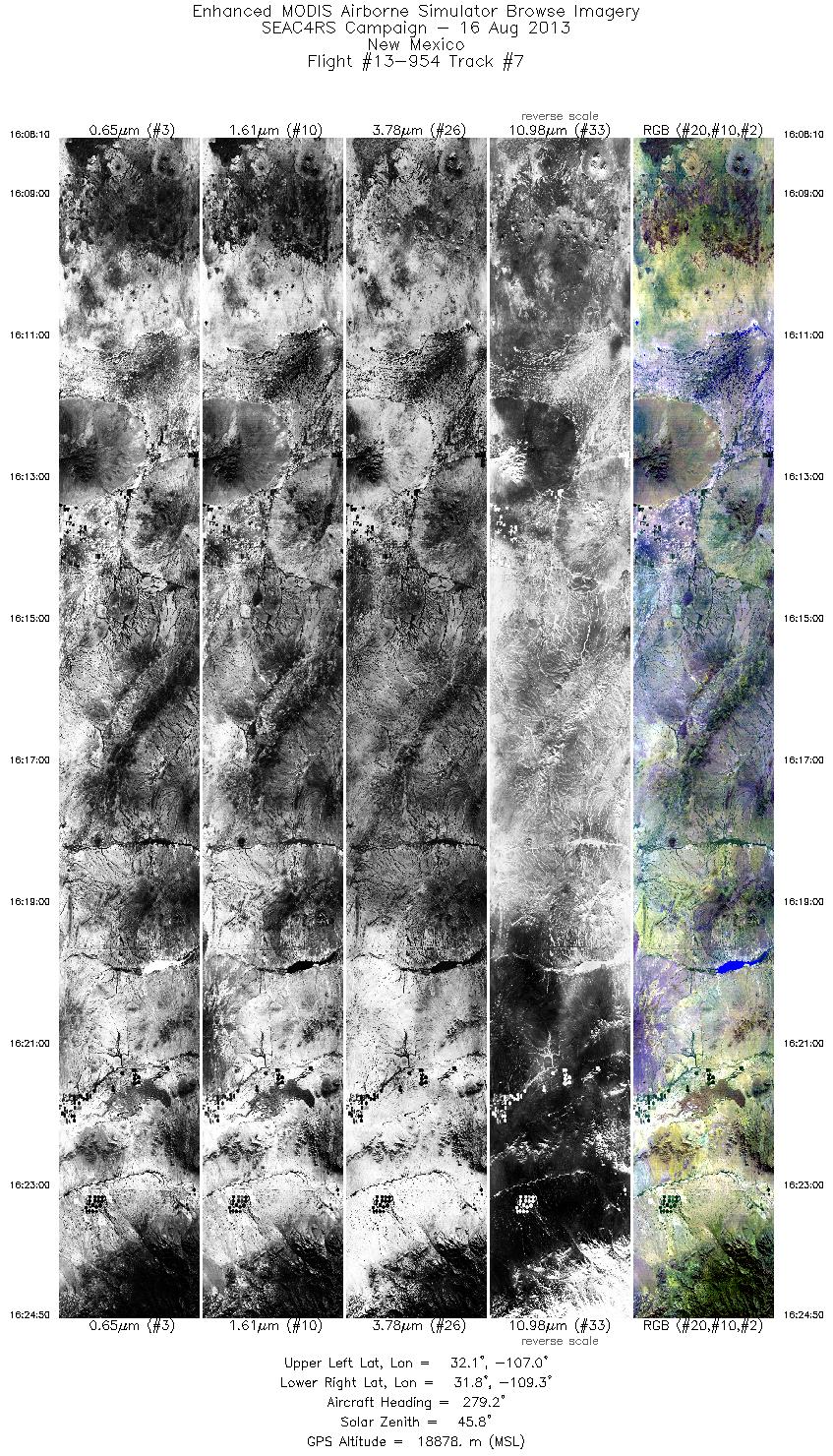
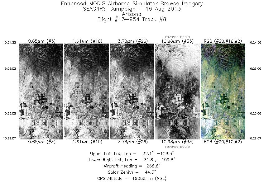
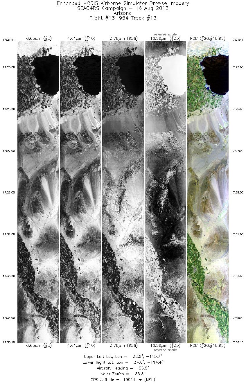
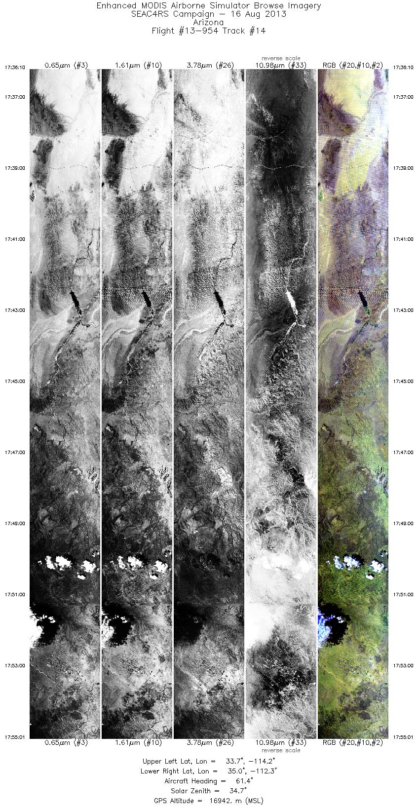
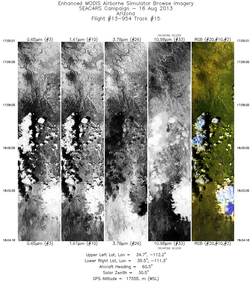
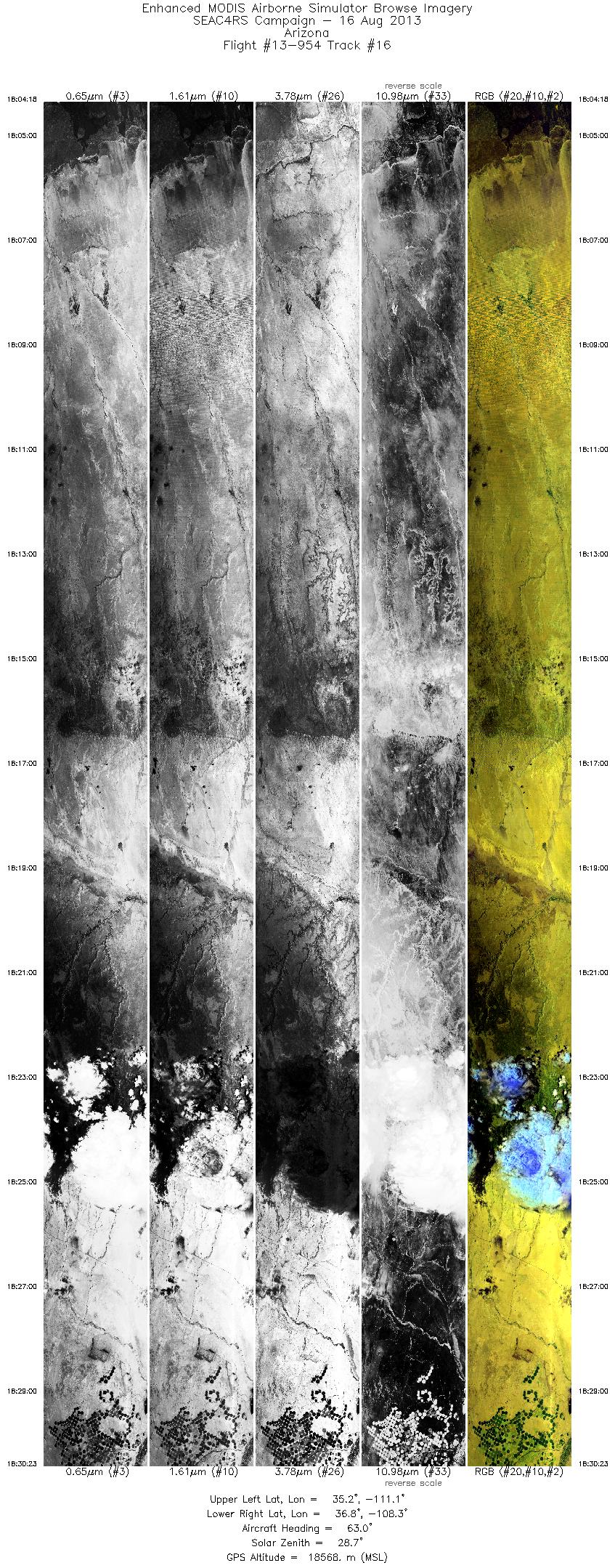
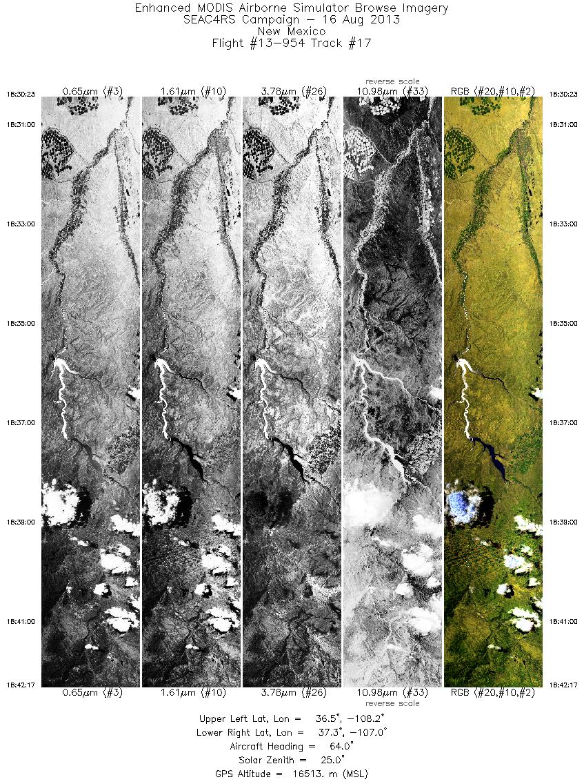
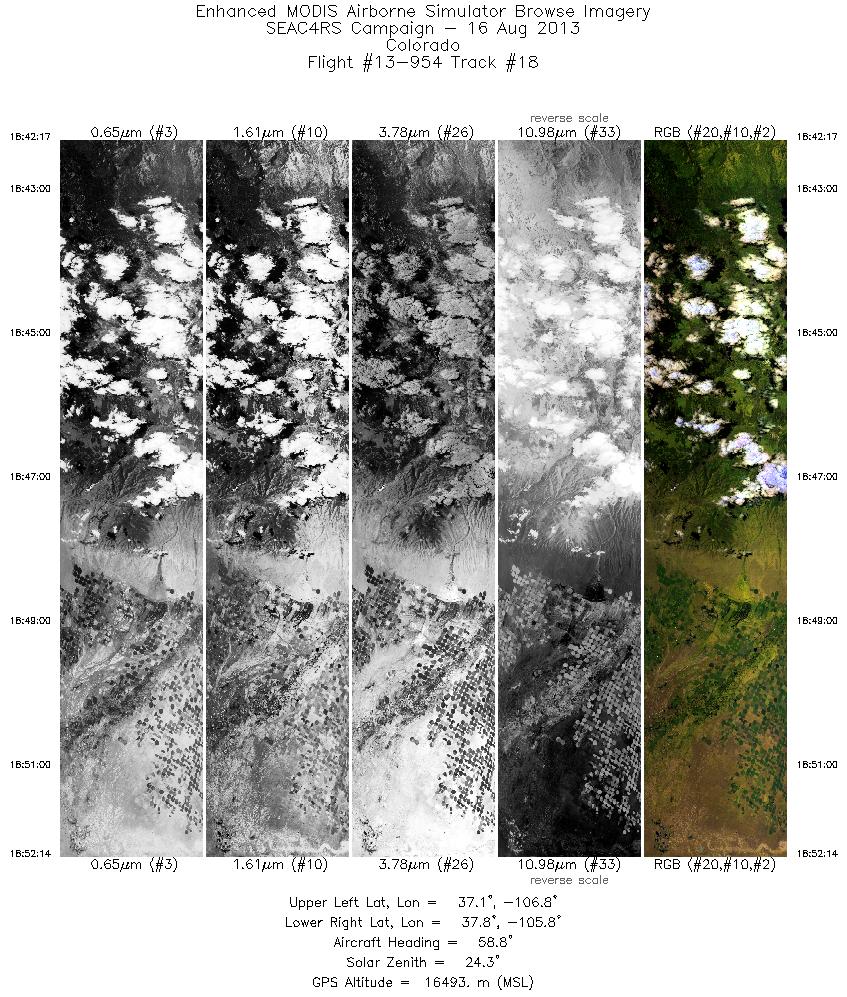
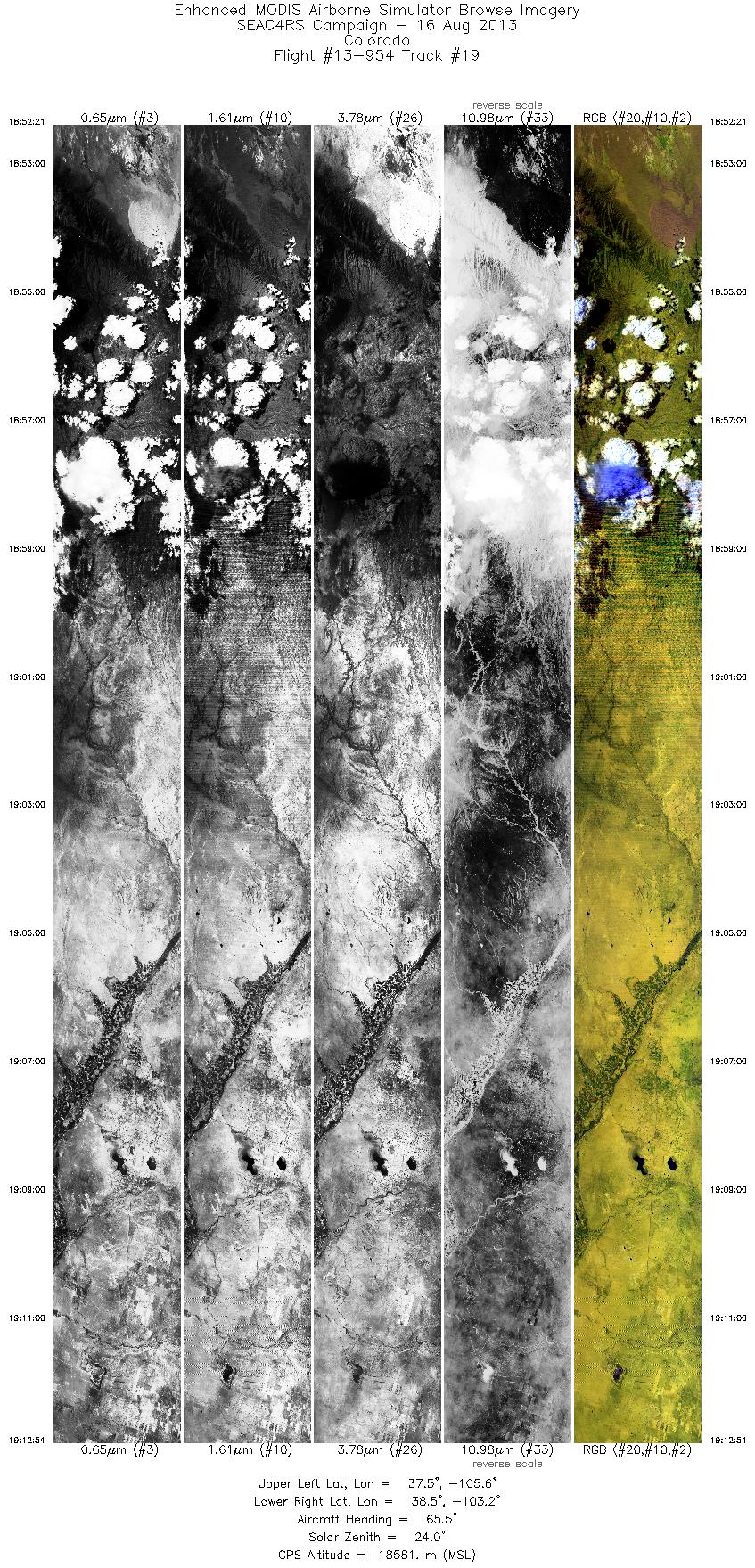
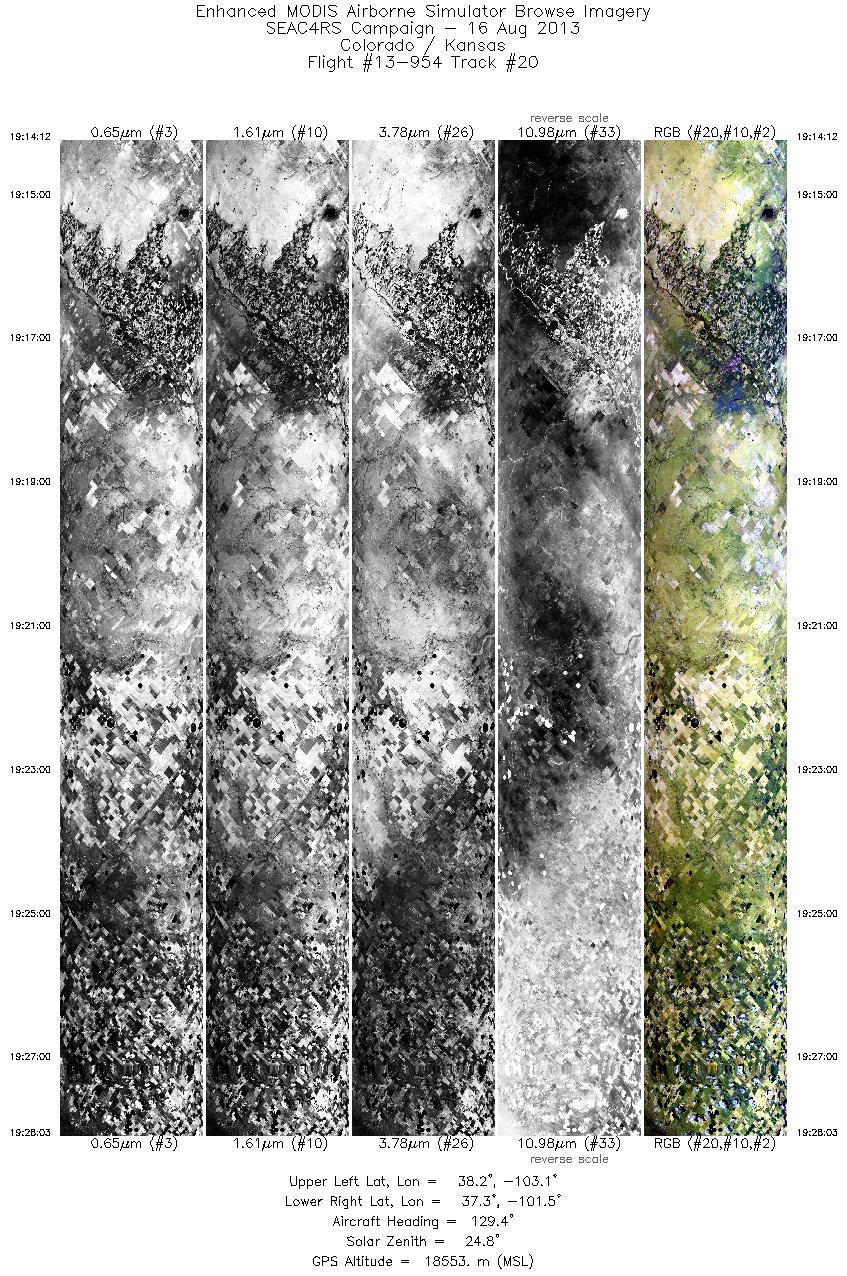
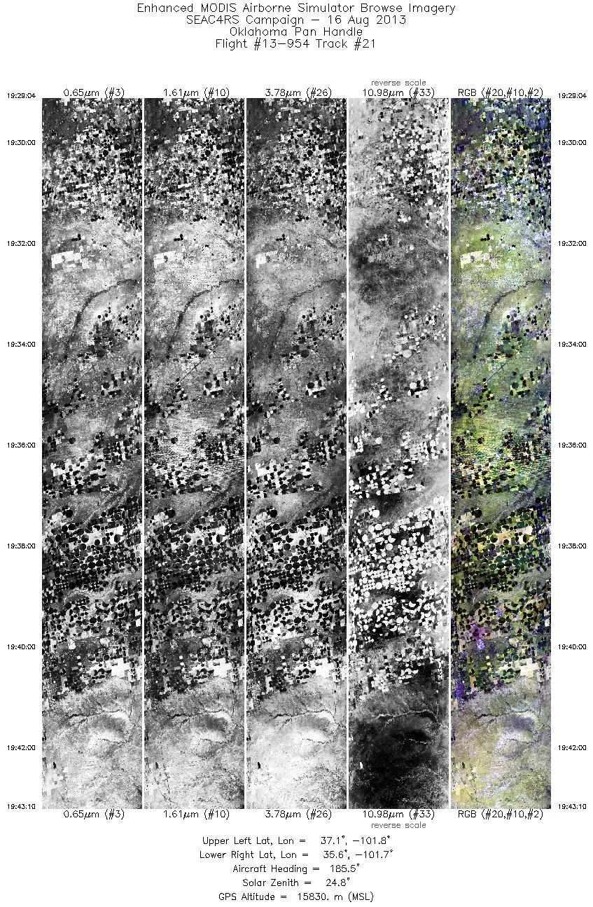
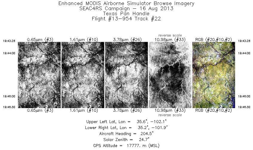
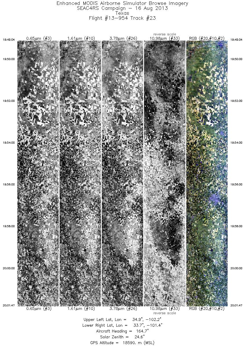
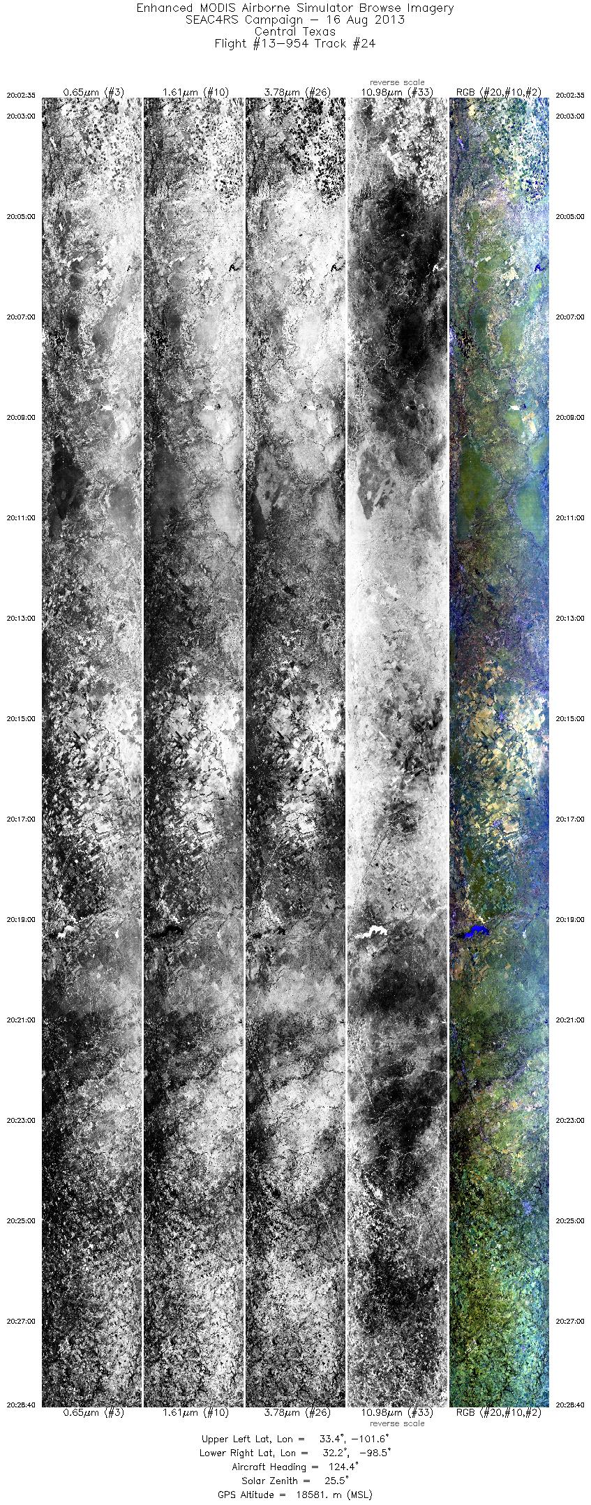
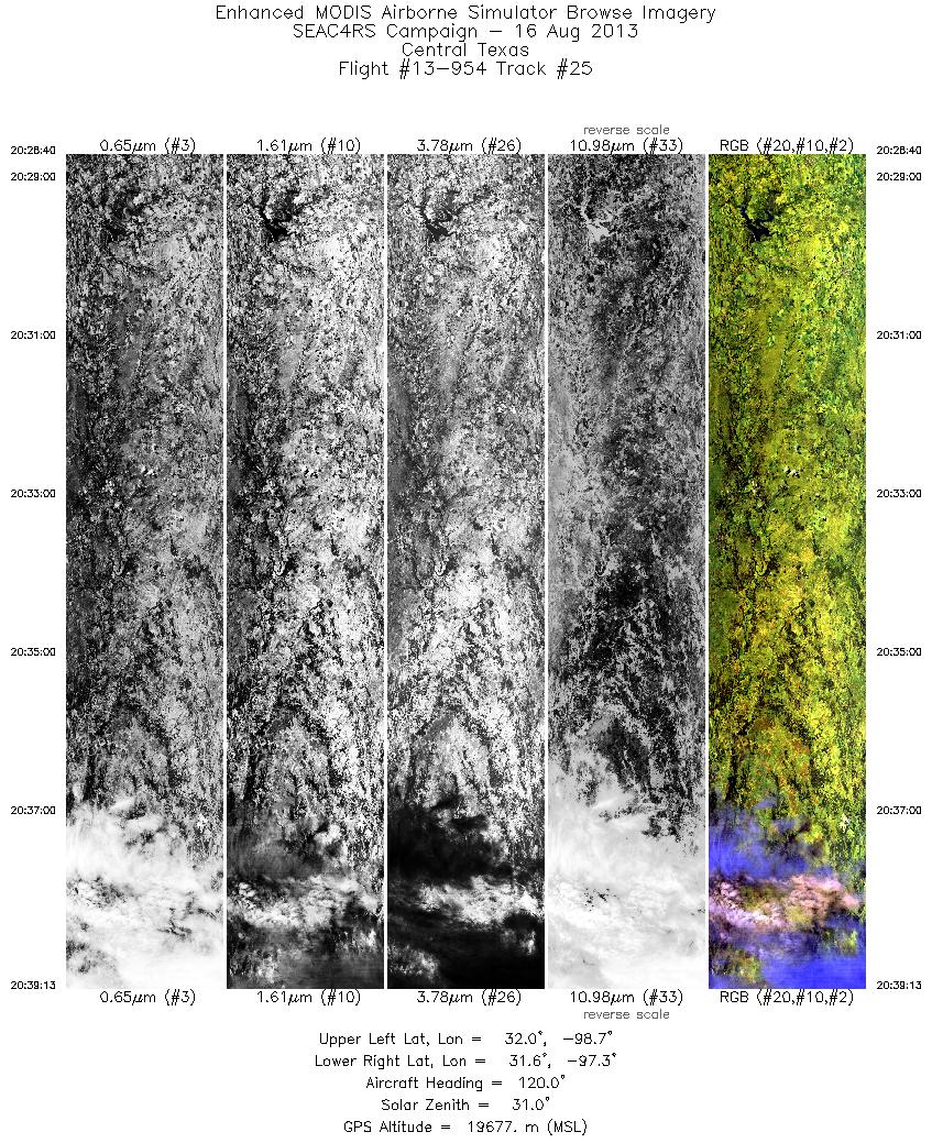
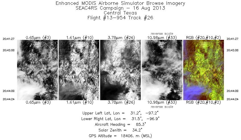
Browse Imagery Flight Tracks: 26 Scanlines: 123134 |
|||||||||||||||||||||||||||||||||||||||||||||||||||||||||||||||||||||||||||||||||||||||||||||||||||||||||||||||||||||||||||||||||||||||||||||||||||||||||||||||||||||||||||||||||||||||||||||||||||||||||||||||||||||||||
|
|||||||||||||||||||||||||||||||||||||||||||||||||||||||||||||||||||||||||||||||||||||||||||||||||||||||||||||||||||||||||||||||||||||||||||||||||||||||||||||||||||||||||||||||||||||||||||||||||||||||||||||||||||||||||

Flight 13-954


| Sample Imagery |
| Click image for full resolution |
|
Track: #23 Texas SNPP Overpass |


|
|
R: 2.13µm G: 1.61µm B: 0.55µm |
- NASA Official: Matt Fladeland
- Project Manager: James Jacobson
- Website Editor: Eric Fraim
- Last Updated: November 16, 2021