


CAMPAIGN SUMMARY INFORMATION
|
Costa Rica Airborne Research and Technology Applications Dates: 6 - 29 March, 2003 Location: Costa Rica Principal Investigators: Diaz (CENAT) Aircraft: NASA 926 WB-57 (Johnson Space Center) Additional Sensors: AVEMS, RC-10 Objective: The CARTA project was a collaborative effort between the Centro Nacional de Alta Tecnologia (CENAT) of Costa Rica and NASA. The projects objectives were to acquire airborne multispectral digital imagery and photographic data over Costa Rica for various scientific and national objectives. |
||||||||||||||||||||||||||||
|
Processing Information Flights Processed: 14 Total Flight Tracks: 152 Total Scanlines: 1,052,745 Level-1B Version: 1 Calibration Version: 1 Status: Level-1B Data available |
||||||||||||||||||||||||||||
|
MASTER Spectral Information Spectral Band Configuration Spectral Response Function Table |
||||||||||||||||||||||||||||
|
Flight Summary Reports CARTA Final Report |
||||||||||||||||||||||||||||
|
Related Web Sites NASA Airborne Science Program |
||||||||||||||||||||||||||||
|
||||||||||||||||||||||||||||
 Flight: 05-003-01
 Flight: 05-003-02
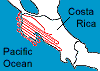 Flight: 05-003-03
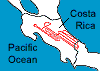 Flight: 05-003-04
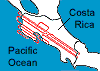 Flight: 05-003-05
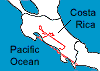 Flight: 05-003-06
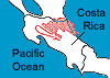 Flight: 05-003-08
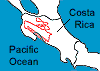 Flight: 05-003-09
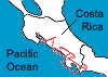 Flight: 05-003-10
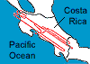 Flight: 05-003-11
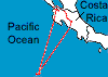 Flight: 05-003-13
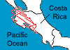 Flight: 05-003-14
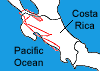 Flight: 05-003-15
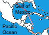 Flight: 05-003-16