Flight: 03-003-13
Date: March 25, 2003
Aircraft: NASA WB57, #926
Deployment: CARTA
Flight Location: Costa Rica
Principal Investigator: CENAT (Diaz)
Additional Sensors: AVEMS, RC-10
|
Data Evaluation
Data quality is good.
|
Processing Information
Level-1B Data in HDF format is available
Flight Line Summary
Spectral Band Configuration
Spectral Response Function Table
Spectral Response Function (text)
|
Browse Imagery
Flight Tracks: 14
Scanlines: 92681
|
Browse Imagery Table
|
Click a Flight Track number to view a quicklook image
Lat/Lon ranges are for the BEG-END scanline nadir pixels
|
Flight
Track |
Time Span
(UTC) |
Heading
(Deg) |
Lat Range
(Deg N) |
Lon Range
(Deg W) |
Length
(Scanlines) |
Altitude
(Meters) |
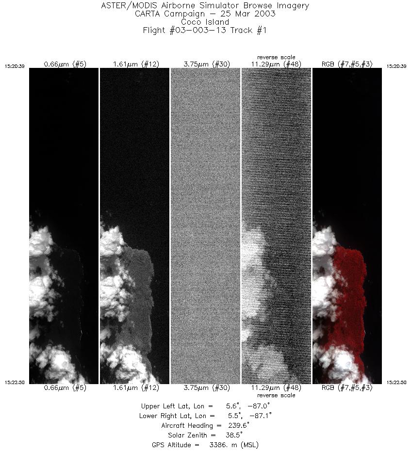
| 1 |
15:20 - 15:22 |
240.4 |
5.580 - 5.514 |
86.963 - 87.081 |
3263 |
3386 |
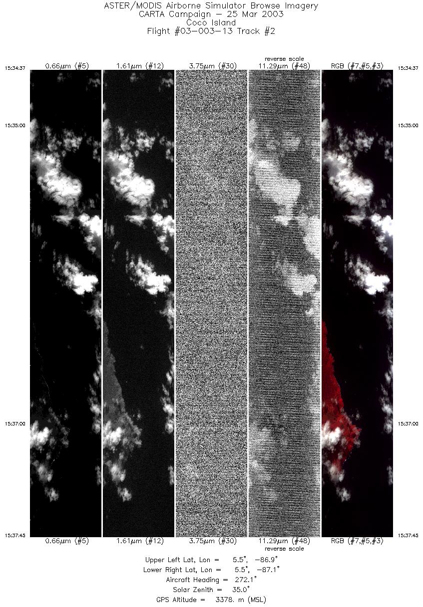
| 2 |
15:34 - 15:37 |
270.9 |
5.500 - 5.502 |
86.931 - 87.116 |
4688 |
3367 |
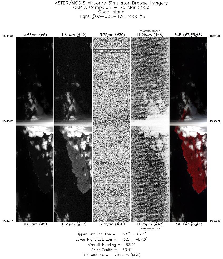
| 3 |
15:41 - 15:44 |
85.3 |
5.517 - 5.519 |
87.146 - 87.007 |
3533 |
3387 |
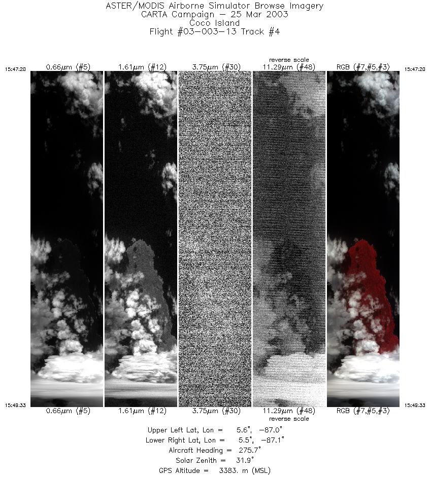
| 4 |
15:47 - 15:49 |
274.4 |
5.531 - 5.536 |
86.962 - 87.095 |
3318 |
3374 |
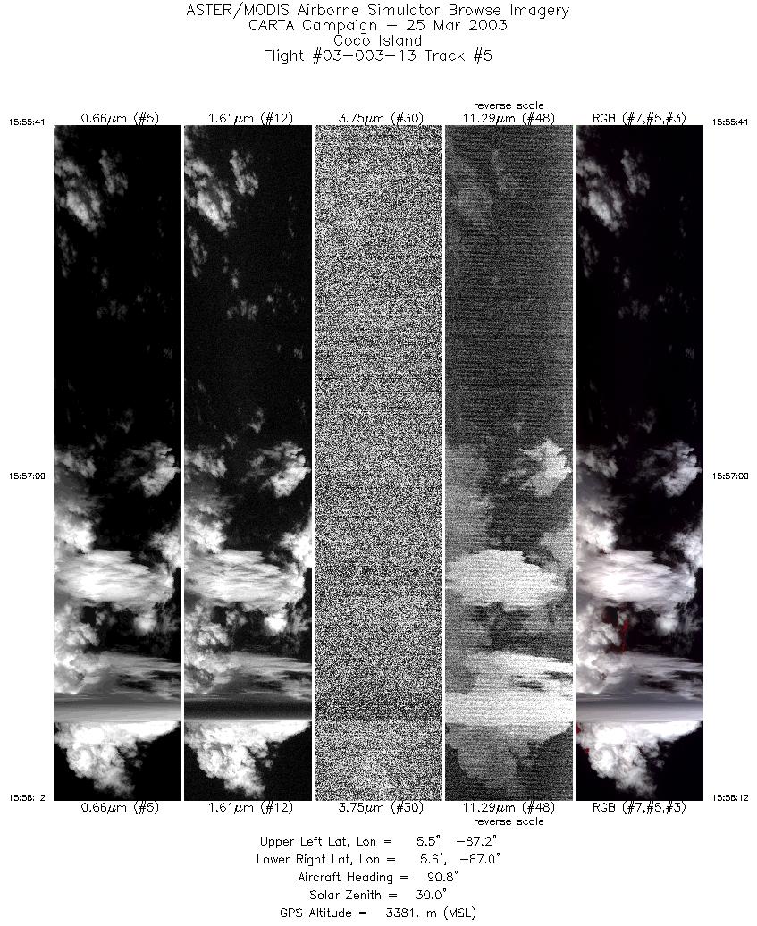
| 5 |
15:55 - 15:58 |
88.5 |
5.548 - 5.557 |
87.171 - 87.019 |
3784 |
3382 |
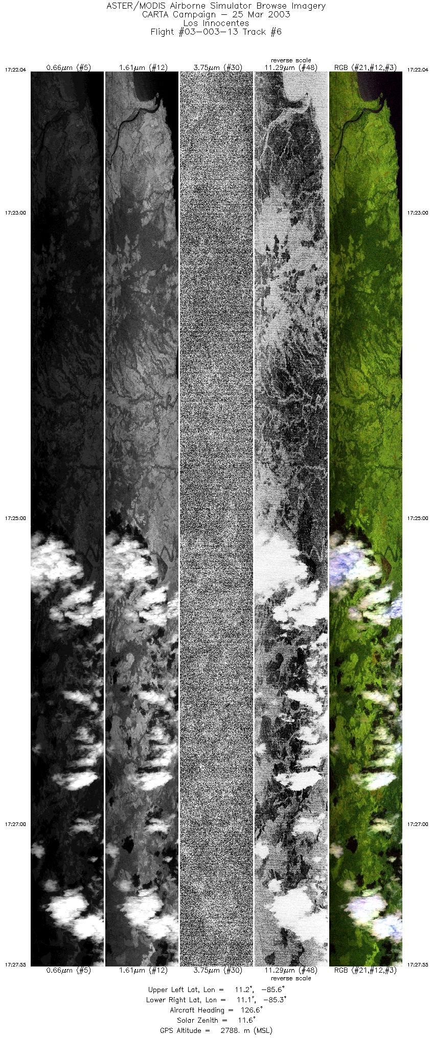
| 6 |
17:22 - 17:27 |
126.6 |
11.253 - 11.054 |
85.623 - 85.359 |
8762 |
2792 |
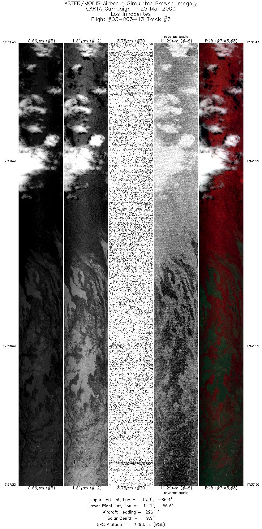
| 7 |
17:32 - 17:37 |
301.6 |
10.889 - 11.039 |
85.385 - 85.605 |
7145 |
2792 |
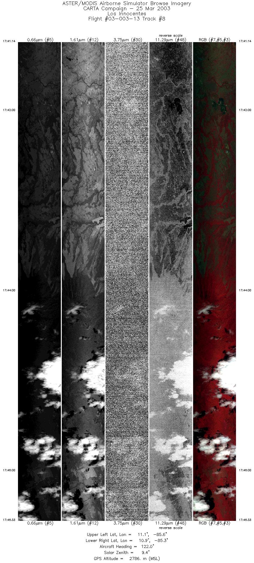
| 8 |
17:41 - 17:46 |
122.3 |
11.073 - 10.904 |
85.613 - 85.358 |
7958 |
2797 |
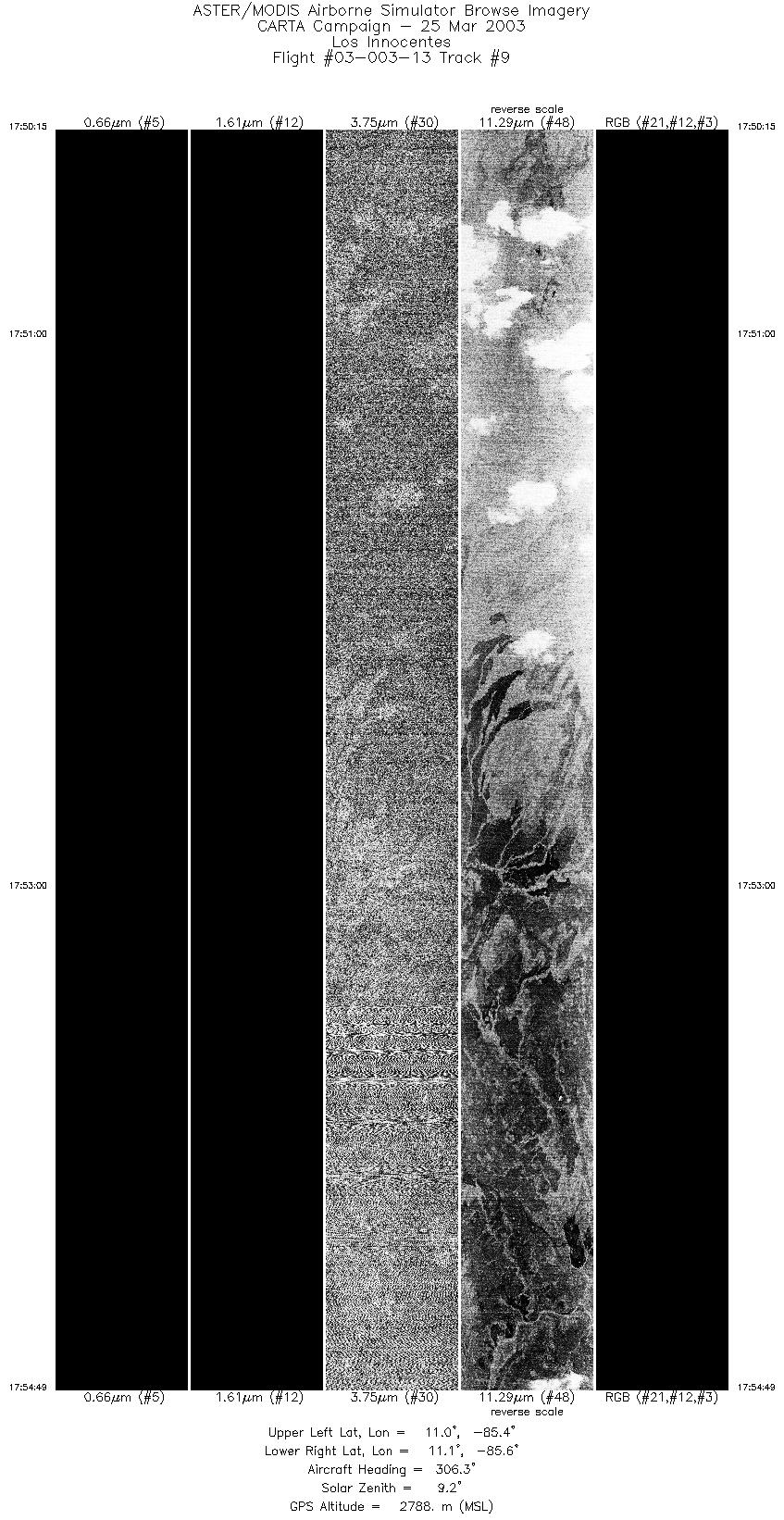
| 9 |
17:50 - 17:54 |
305.3 |
10.939 - 11.086 |
85.377 - 85.591 |
6812 |
2790 |
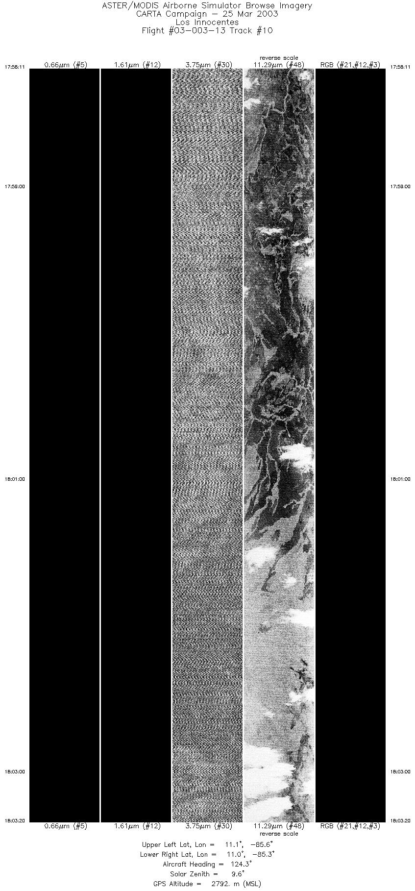
| 10 |
17:58 - 18:03 |
123.9 |
11.122 - 10.954 |
85.603 - 85.359 |
7694 |
2795 |
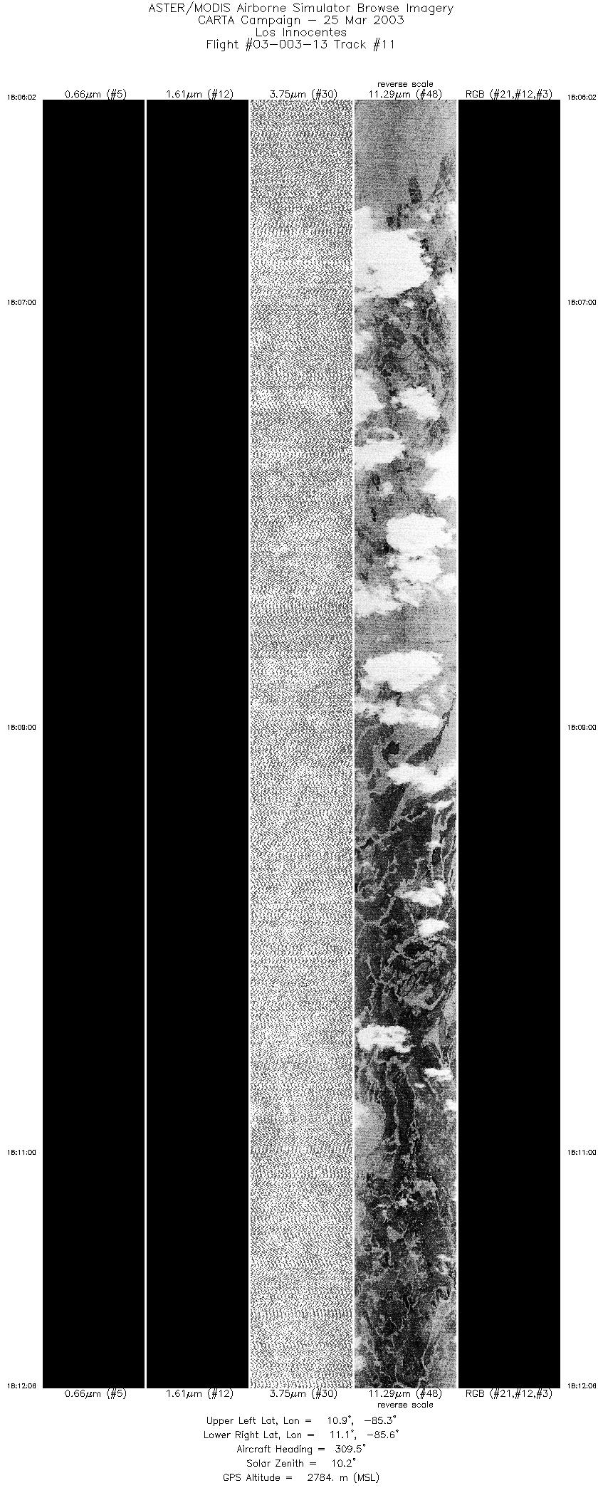
| 11 |
18:06 - 18:12 |
304.7 |
10.931 - 11.111 |
85.295 - 85.591 |
9050 |
2786 |
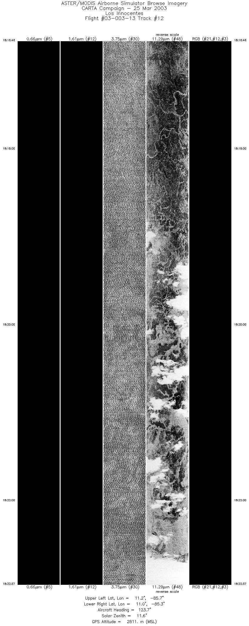
| 12 |
18:16 - 18:22 |
124.8 |
11.214 - 11.005 |
85.648 - 85.359 |
9237 |
2819 |
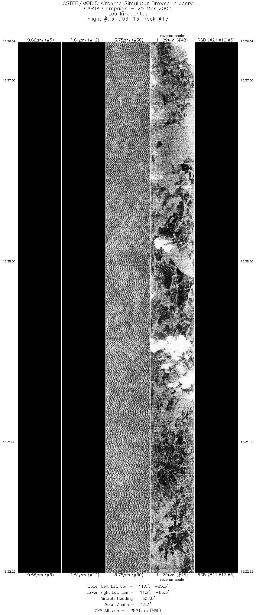
| 13 |
18:26 - 18:32 |
308.1 |
11.000 - 11.212 |
85.324 - 85.589 |
8764 |
2807 |
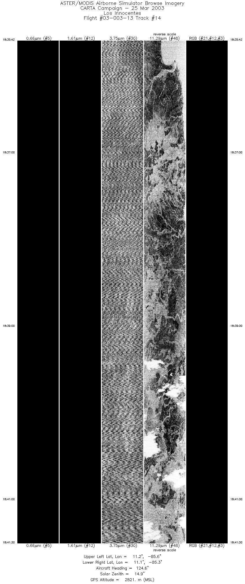
| 14 |
18:35 - 18:41 |
125.7 |
11.255 - 11.056 |
85.629 - 85.361 |
8673 |
2824 |
|


