Flight: 03-003-02
Date: March 08, 2003
Aircraft: NASA WB57, #926
Deployment: CARTA
Flight Location: Ellington Airfield, TX to San Jose, Costa Rica (Ferry)
Principal Investigator: CENAT (Diaz)
Additional Sensors: AVEMS, RC-10
|
Data Evaluation
Data quality is good.
|
Processing Information
Level-1B Data in HDF format is available
Flight Line Summary
Spectral Band Configuration
Spectral Response Function Table
Spectral Response Function (text)
|
Browse Imagery
Flight Tracks: 12
Scanlines: 82148
|
Browse Imagery Table
|
Click a Flight Track number to view a quicklook image
Lat/Lon ranges are for the BEG-END scanline nadir pixels
|
Flight
Track |
Time Span
(UTC) |
Heading
(Deg) |
Lat Range
(Deg N) |
Lon Range
(Deg W) |
Length
(Scanlines) |
Altitude
(Meters) |
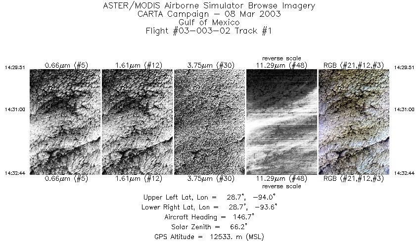
| 1 |
14:29 - 14:32 |
145.7 |
28.801 - 28.597 |
93.951 - 93.691 |
1074 |
12514 |
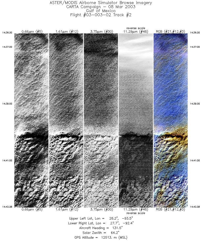
| 2 |
14:36 - 14:42 |
138.4 |
28.327 - 27.653 |
93.378 - 92.521 |
3651 |
12521 |
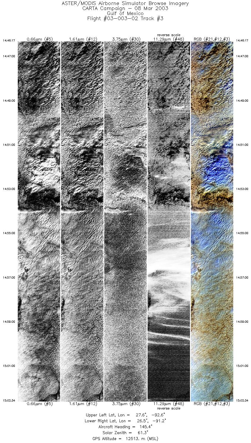
| 3 |
14:46 - 15:02 |
148.2 |
27.652 - 26.413 |
92.521 - 91.335 |
6079 |
12511 |
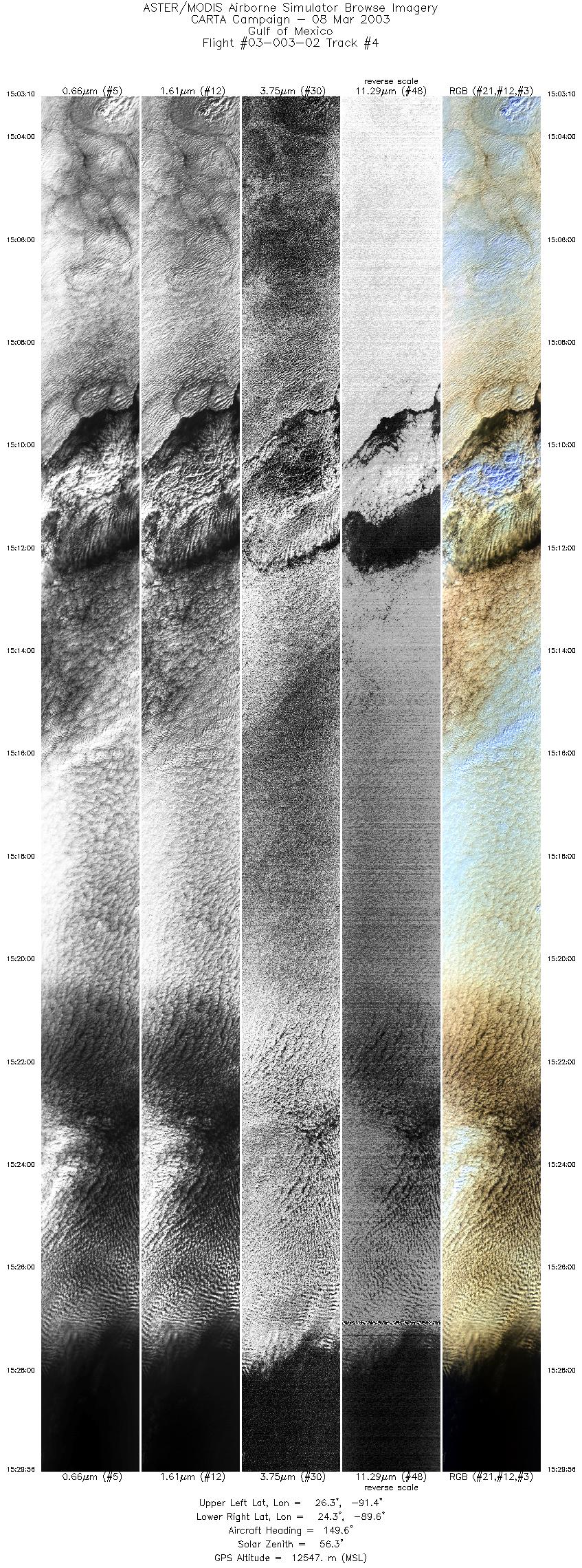
| 4 |
15:03 - 15:29 |
152.4 |
26.370 - 24.268 |
91.288 - 89.671 |
9999 |
12540 |
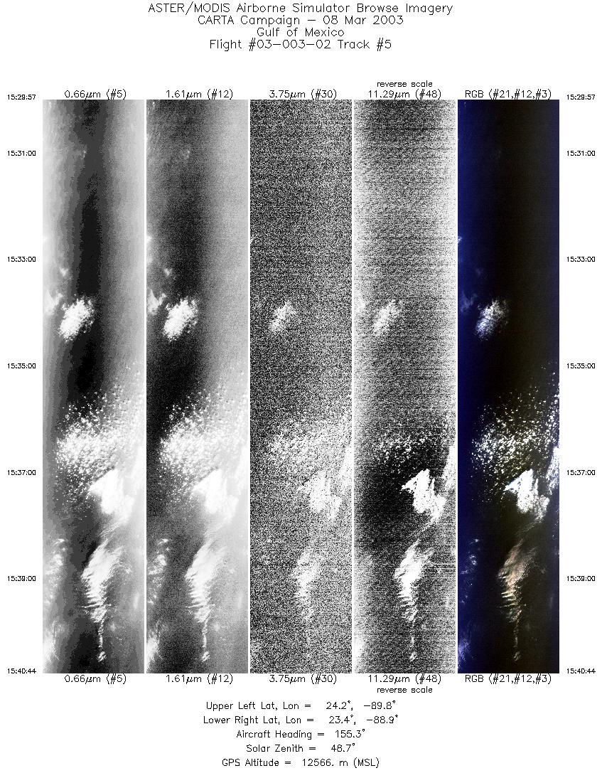
| 5 |
15:29 - 15:40 |
154.6 |
24.268 - 23.403 |
89.671 - 89.020 |
4036 |
12567 |
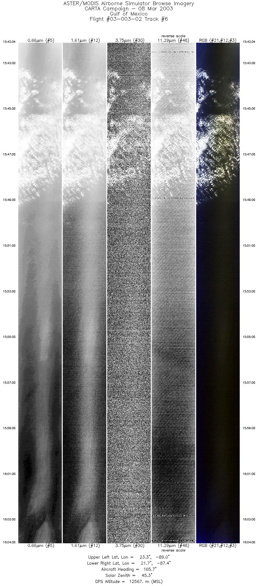
| 6 |
15:42 - 16:04 |
154.5 |
23.302 - 21.640 |
88.930 - 87.454 |
8204 |
12566 |
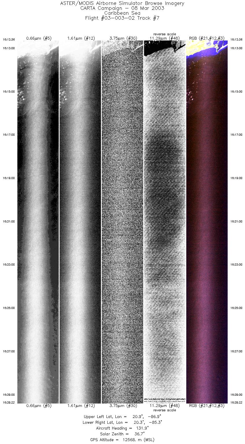
| 7 |
16:12 - 16:29 |
128.5 |
21.027 - 20.203 |
86.855 - 85.339 |
6275 |
12569 |
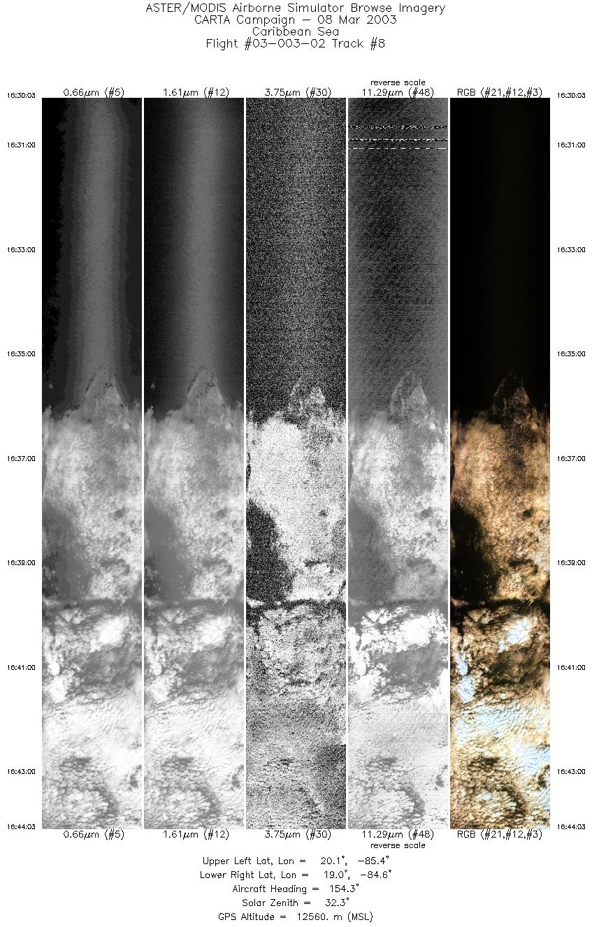
| 8 |
16:30 - 16:44 |
156.4 |
20.157 - 19.001 |
85.292 - 84.727 |
5238 |
12564 |
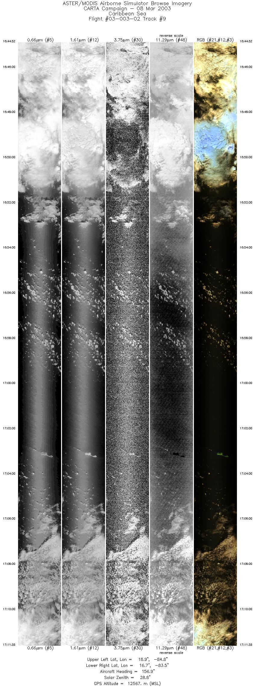
| 9 |
16:44 - 17:11 |
157.7 |
18.938 - 16.674 |
84.687 - 83.602 |
9999 |
12565 |
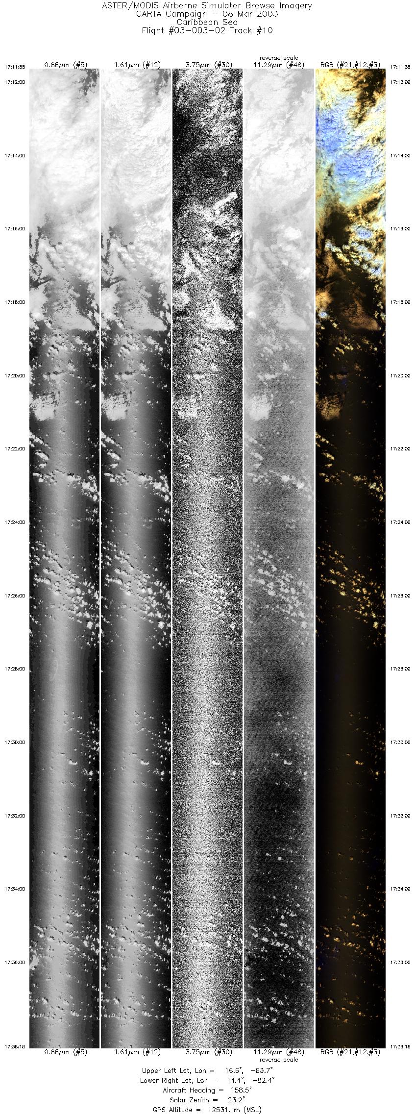
| 10 |
17:11 - 17:38 |
158.8 |
16.674 - 14.376 |
83.602 - 82.509 |
9999 |
12538 |
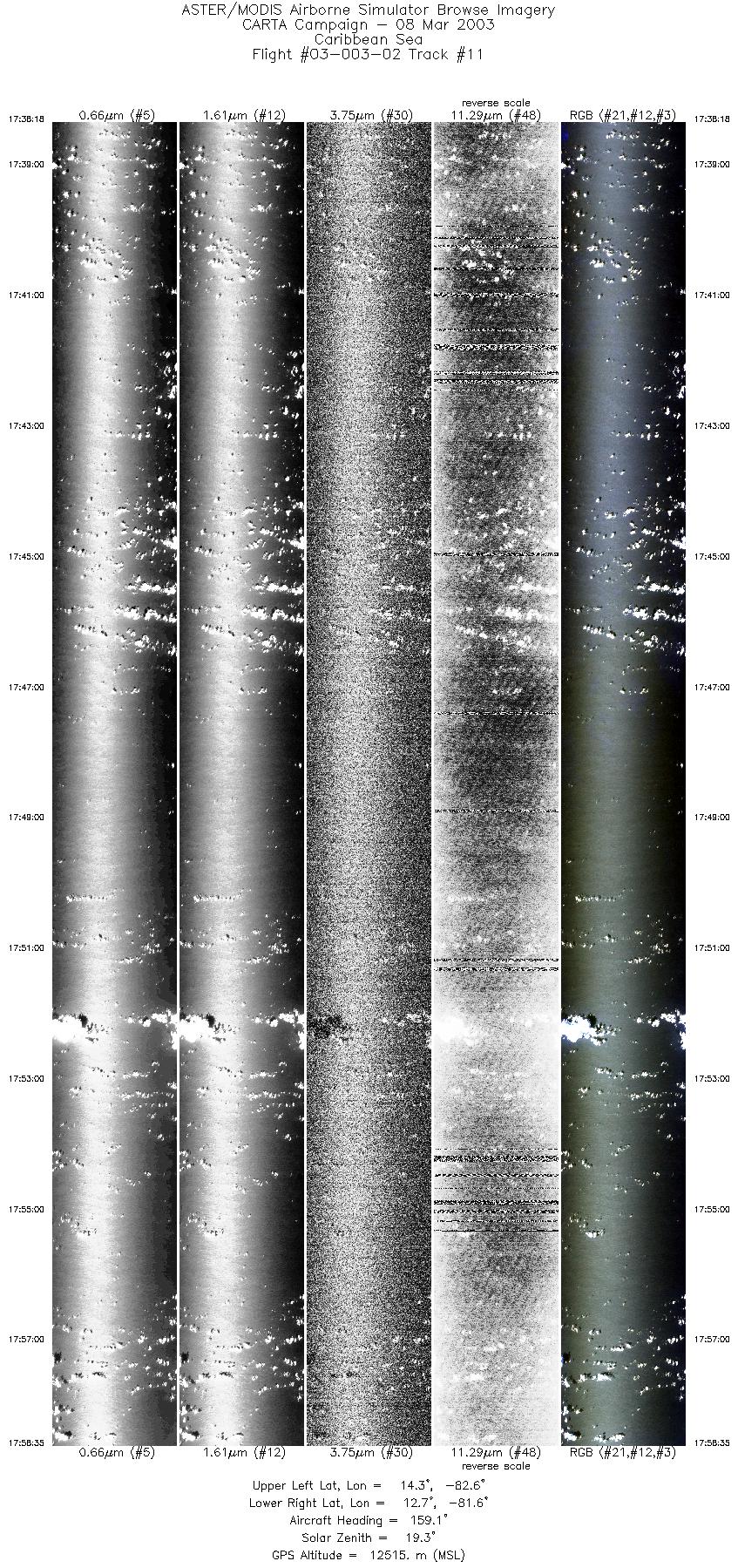
| 11 |
17:38 - 17:58 |
160.7 |
14.376 - 12.633 |
82.509 - 81.726 |
7595 |
12513 |
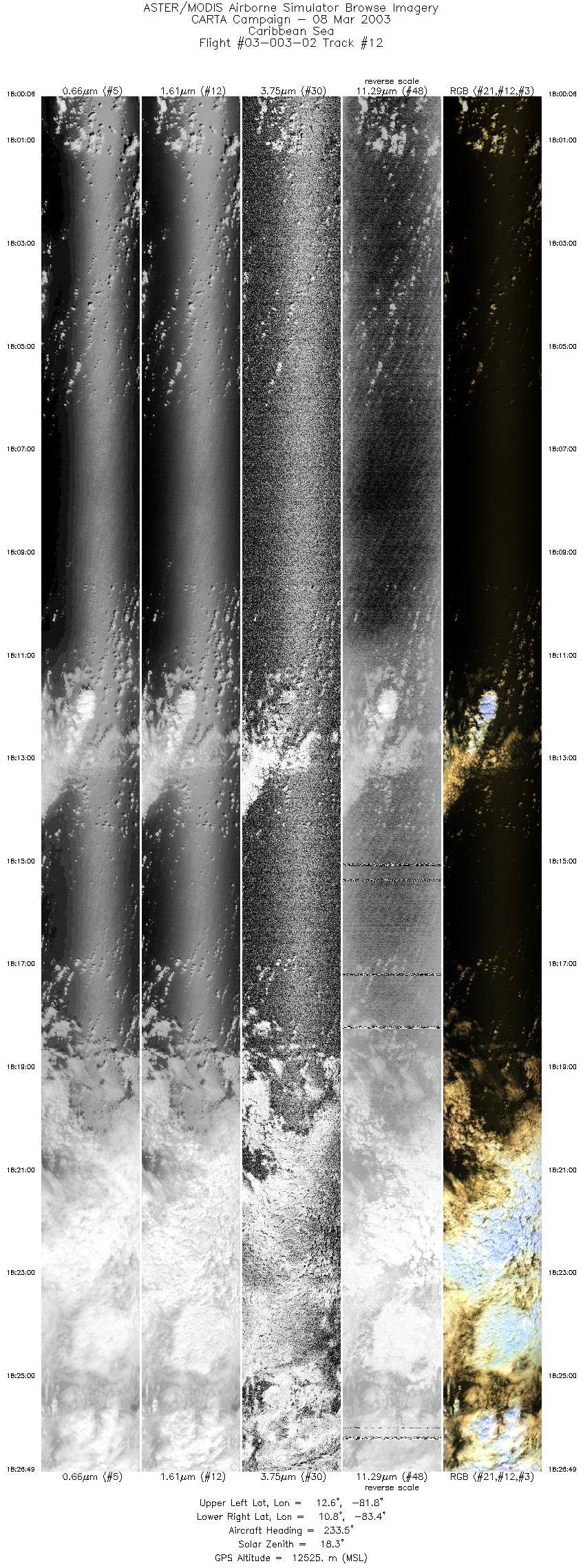
| 12 |
18:00 - 18:26 |
232.6 |
12.508 - 10.928 |
81.753 - 83.420 |
9999 |
12510 |
|


