Objectives: To overfly the C131 and C130 during their profiles
over the ocean at Point A in order to provide wider spatial and
temporal characterization of the aerosol. To provide real-time
aerosol vertical distribution with LASE. To provide imagery for
MODIS validation at Point A when the C-131 is at its lowest altitude.
To intersect the ERS-2 overpass.
Meteorological Conditions: The stationary front orientated east-
west and crossing the shoreline over North Carolina was to be joined
by a faster moving cold front orientated north-south along the coast.
Frontal arrival was forecast to be in the late afternoon/early evening
which would bring cloudy conditions to the area by midday. A
marine cloud deck was located to the northeast and fog was spread
in patches throughout the region. This left a patch of clear ocean off
the eastern shore, due east of Wallops. In the morning the sky at
Wallops was nearly cloud-free and very hazy. Bermuda weather was
forecast to be scattered fair weather cumulus.
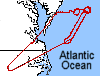
Summary: In order to make the ERS-2 overpass time of 15:55 UT
(11:55 LT) and to collect data before midday cloudiness, the ER-2
launched at 14:30 UT (10:30 LT). The duration of the flight was
4 hours and 30 minutes. The ER-2 was directed to fly in a
racetrack pattern orientated perpindicular to the sun at 11:20 LT.
Three loops were requested then because the local area was forecast
to be cloudy in the afternoon the ER-2 was directed to fly over the
Bermuda sunphotometer site.
The ER-2 racetrack pattern was shifted once to the east and then
back because of waundering patches of cloud at various levels. The
ER-2 pilots were exceptionally cooperative, and in fact volunteered to
make the second shift back to the original pattern. After three loops
cloud conditions were still favorable and forecasted to be favorable
for the remainder of the flight. Discussion with the ER-2 mobile pilot
resulted in the decision to abandon the flight to Bermuda and
continue orbits along the racetrack through the AVHRR overpass.
The flight was shortened first by threat of thunderstorms and then
further shortened due to pilot distress. However, six loops of the
circuit were completed. Almost all six loops were cloud free over
hazy conditions with a strong north-south gradient.
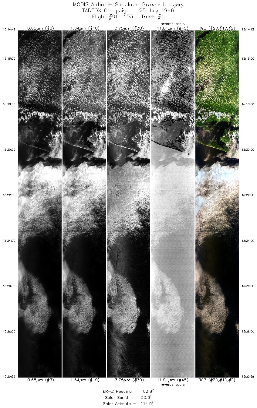
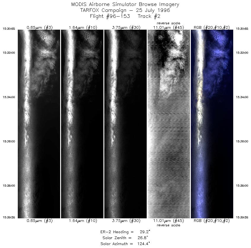
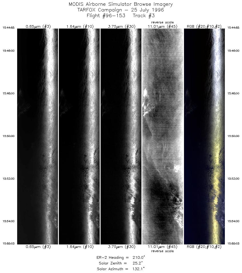
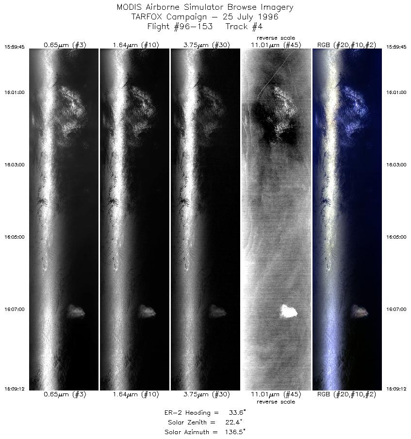
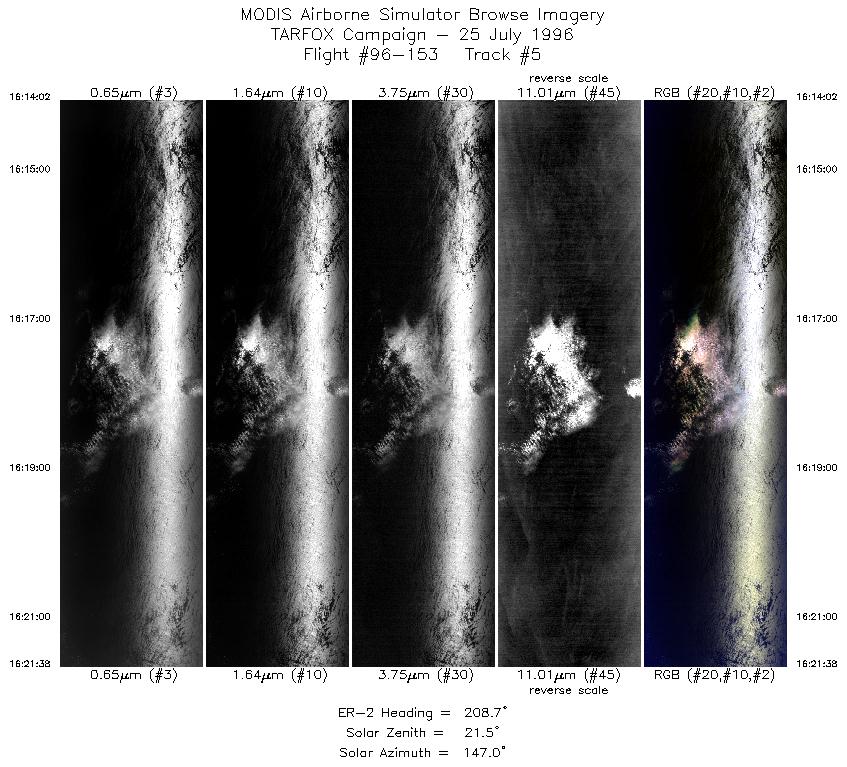
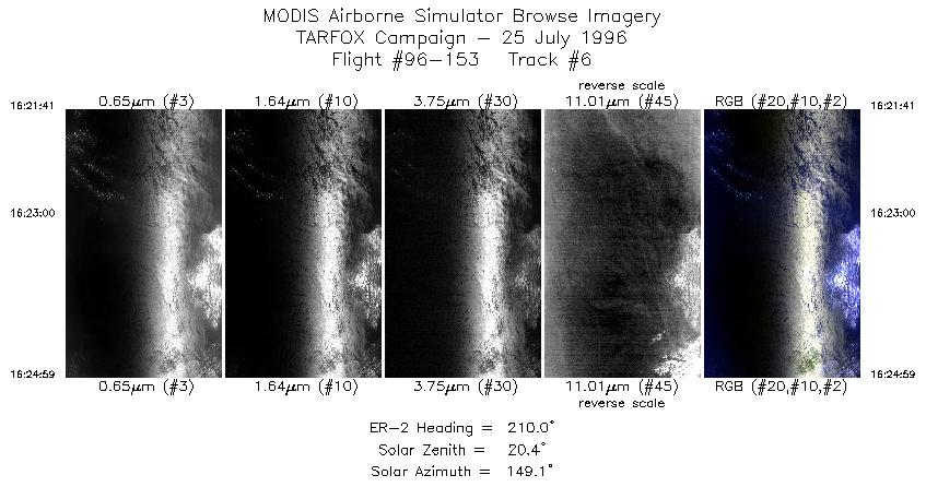
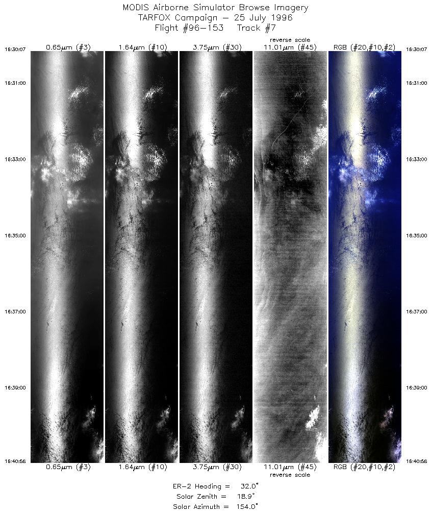
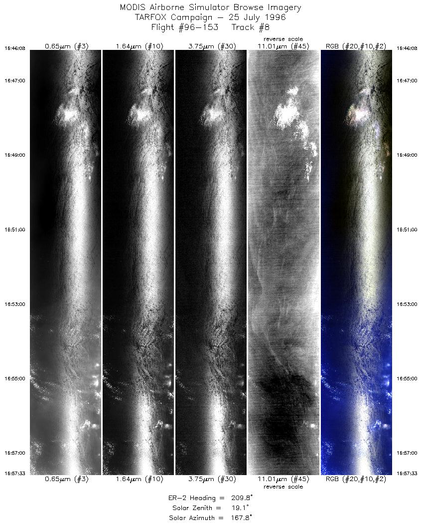
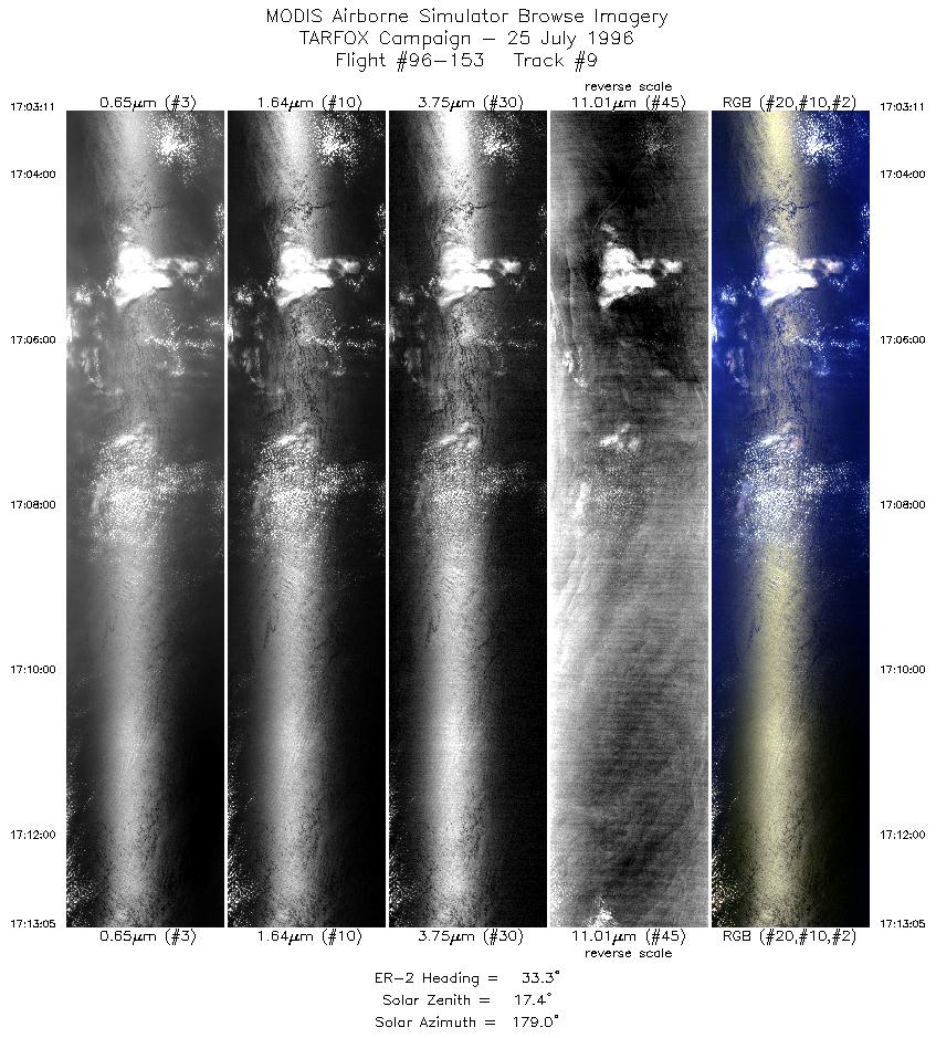
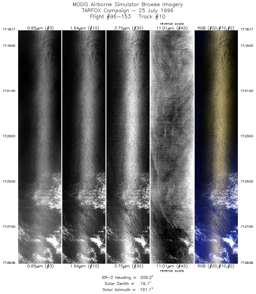
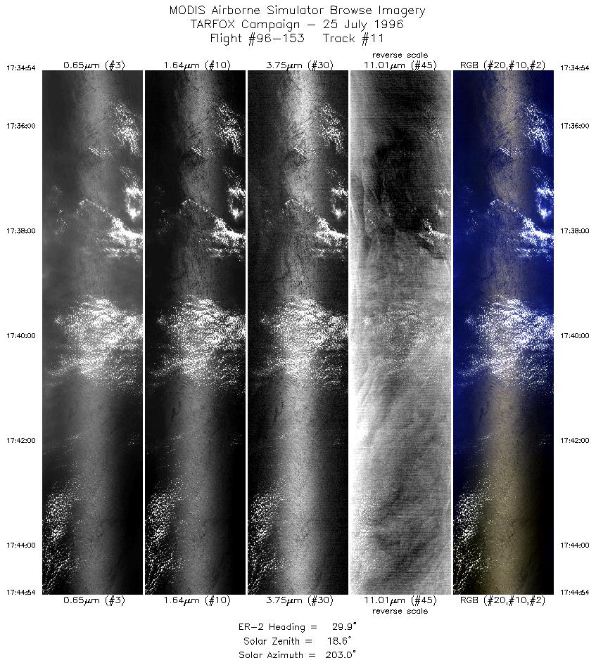
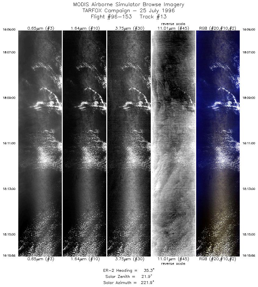
Results: MAS and LASE collected data well. There was no
interference with LASE telemetry. The MAS thermal channels have
not been reviewed and so noise levels have not been determined.
The C-130 flew many tracks beneath the ER-2 pattern.
Unfortunately, the C-131 flew too far west to be in the MAS image
during their first flight and did not intercept the ER-2 in the second
flight due to a late start and an early landing for the ER-2. Still this
mission was the best all around mission for TARFOX and should
provide good characterization of the aerosol which in turn should
provide some validation for MODIS. The MAS data cannot be
reviewed for sunglint until after the deployment.
Auxillary Information: Two sunphotometers and the
shadowband at Wallops were operational during the flight although
one sunphotometer needs recalibration. Sondes were launched at
10:00 and 14:30 LT. Raman lidar was operational. Sandy Hook NJ,
Hog Island (mainland) and Hampton Roads sunphotometers were
operational.
