Objectives: To overfly the C131 during its profile over the ocean
in order to provide wider spatial and temporal
characterization of the aerosol. To provide real-time aerosol vertical
distribution with LASE. To provide imagery for MODIS validation at
Point A when the C-131 is at its lowest altitude and over the cruise
ship Zenith on its voyage towards Bermuda. To overfly the ground
instruments on Wallops Island.
Meteorological Conditions: In the morning the situation was
very similar to the previous day--clear, clean conditions. Cirrus
began to develop over Wallops in the late morning and covered the
area of interest with 50-80% cloud cover in the afternoon. To the
east, over Bermuda, a slow moving frontal system brought showers
to the island and post-frontal partly cloudy conditions to the
northwest where the Zenith was expected to be located at the time of
the ER-2 overflight.
Summary: The ER-2 take-off was 1645 UTC (1245 LT)
and the flight duration was 4 hours and 40 minutes.
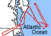
The ER-2 was directed to fly perpendicular to the solar
plane at 14:30 LT at point A (38o 20' N 74o 00') in a racetrack
pattern separated by 6 n. mi. 4 loops were made. Then the ER-2
was directed to fly over the cruise ship at 35 00' N and 68 05' W,
returning to Wallops after a pass over the Wallops sunphotometers.
In the racetrack portion of the flight, it was determined that the leg
over the cruise ship and over Wallops Island was not worth the extra
time on the ER-2 due to cloudy conditions. The mobile pilot informed
the ER-2 pilot to return directly to Wallops after completing the 4
loops.
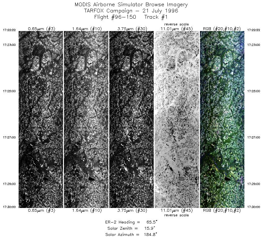
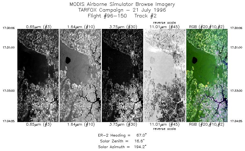
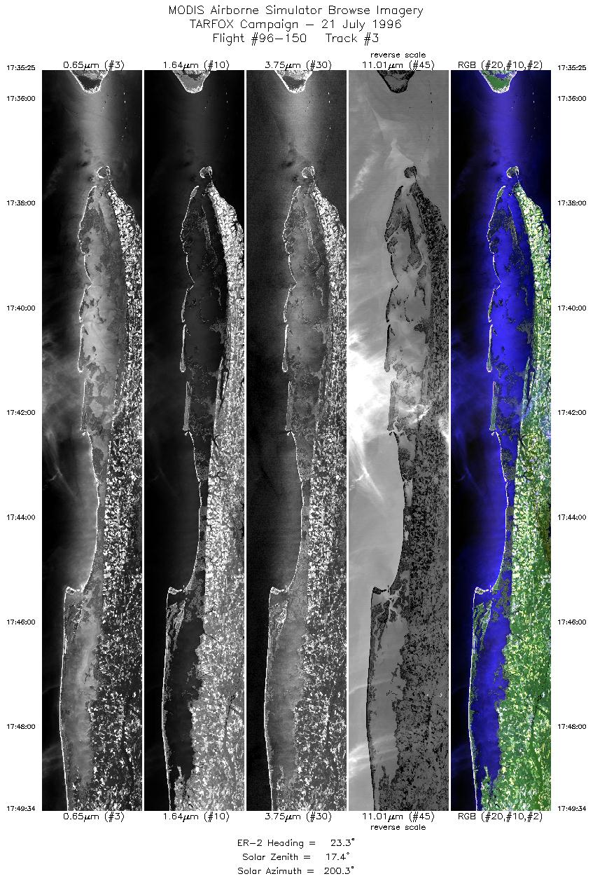
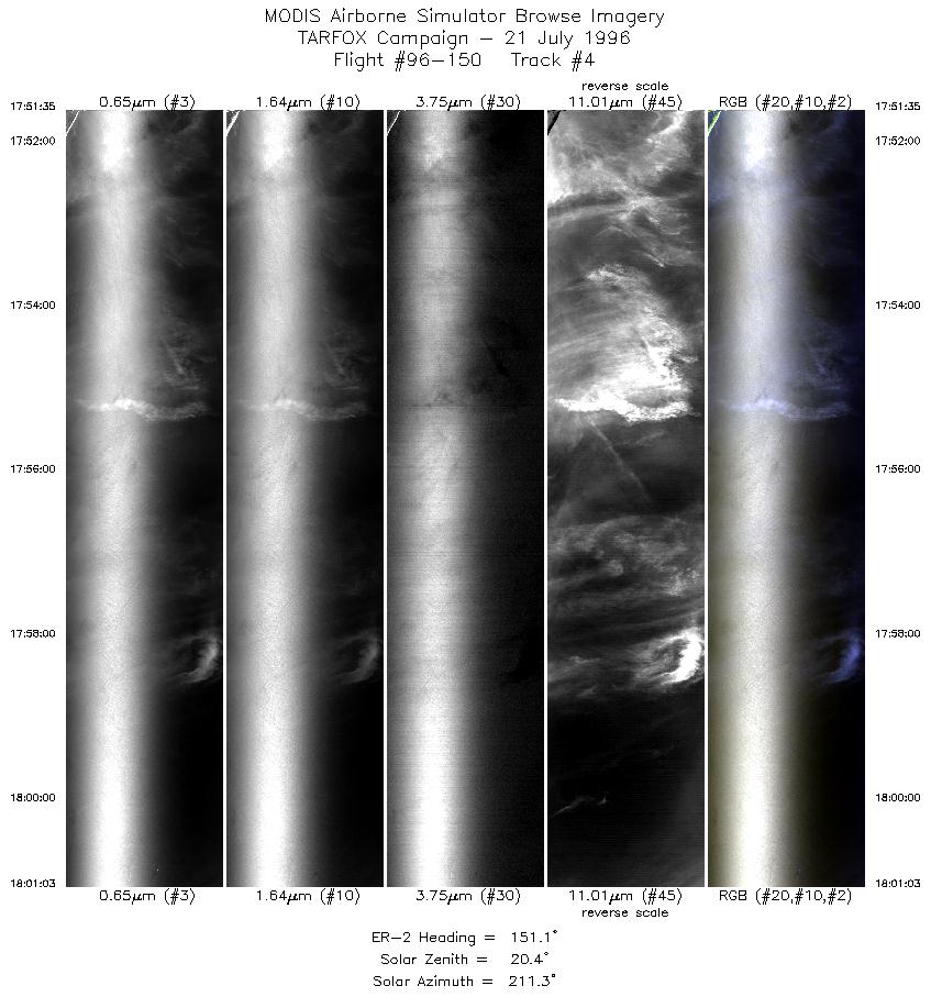
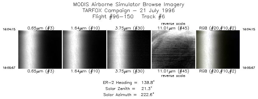
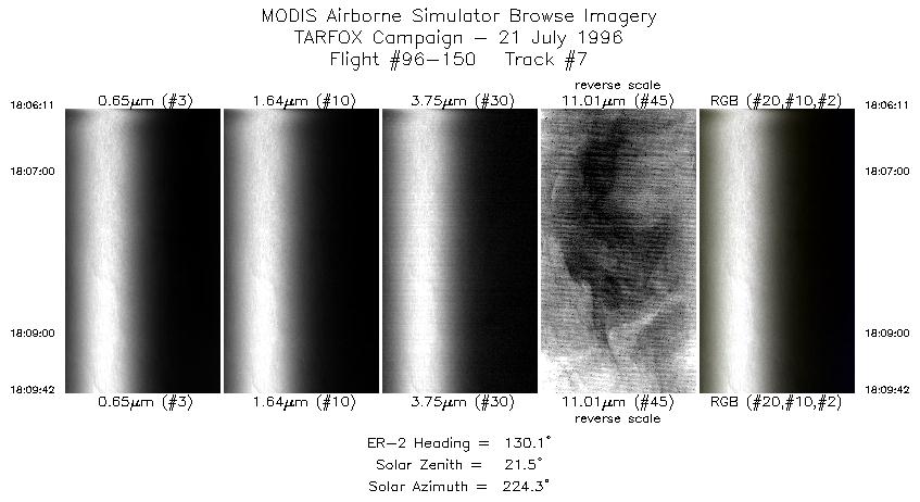
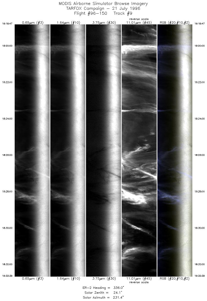
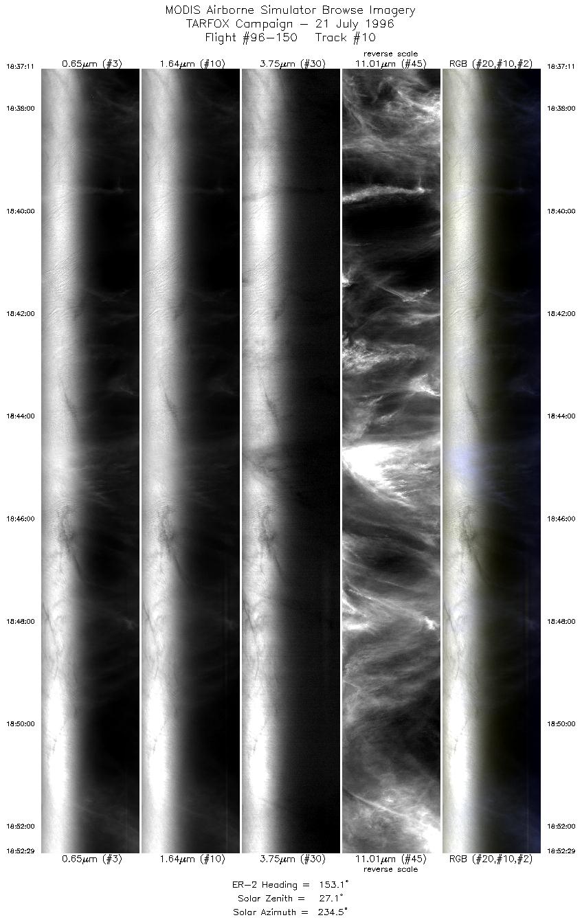
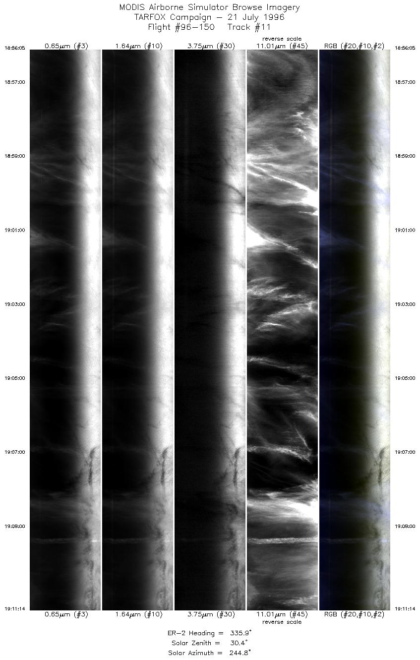
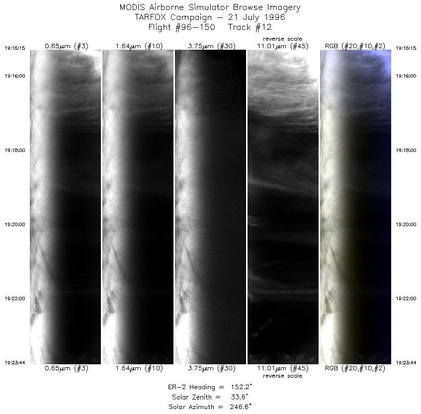
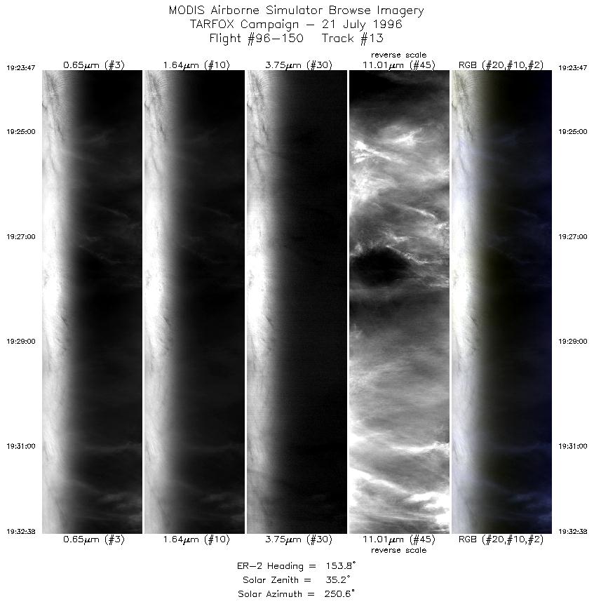
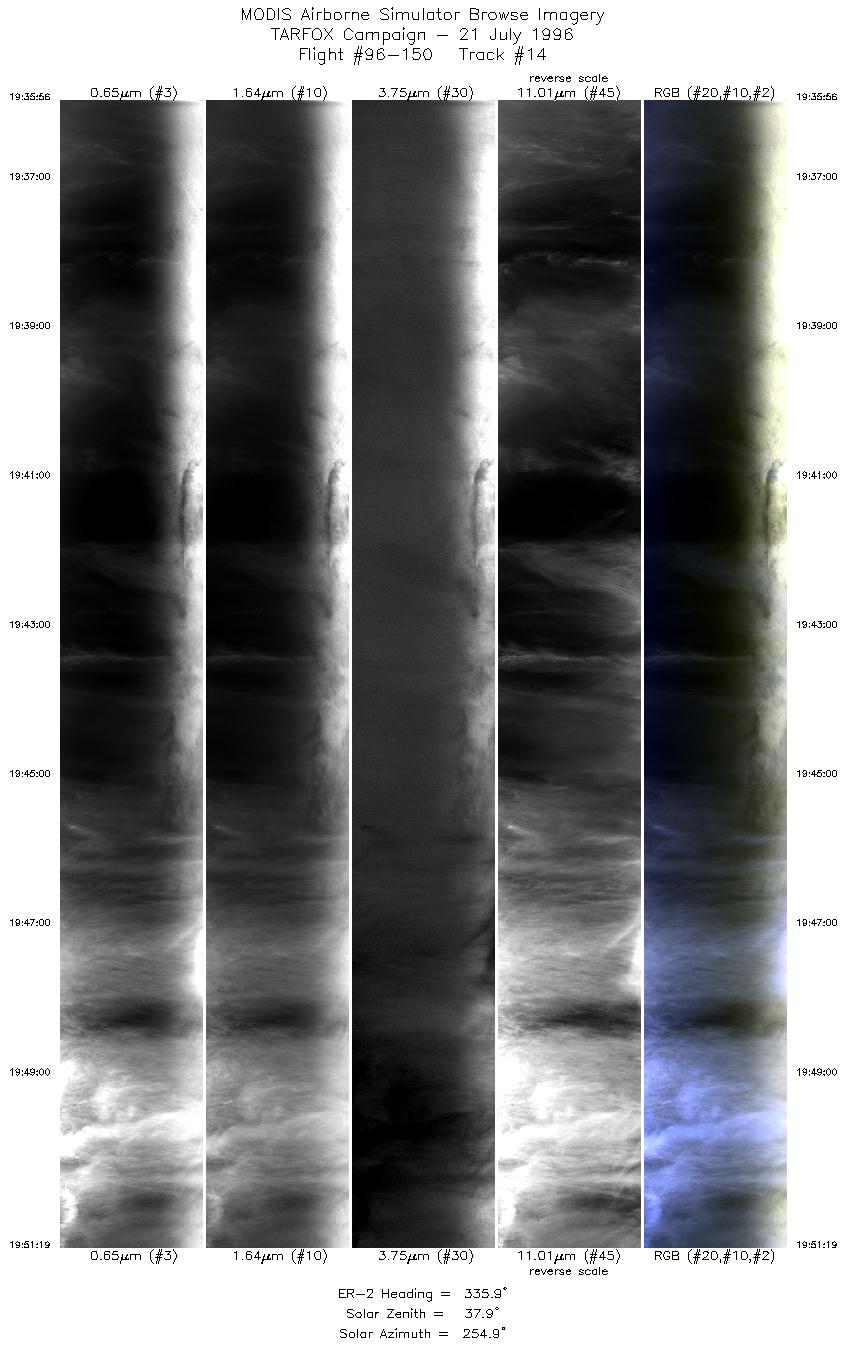
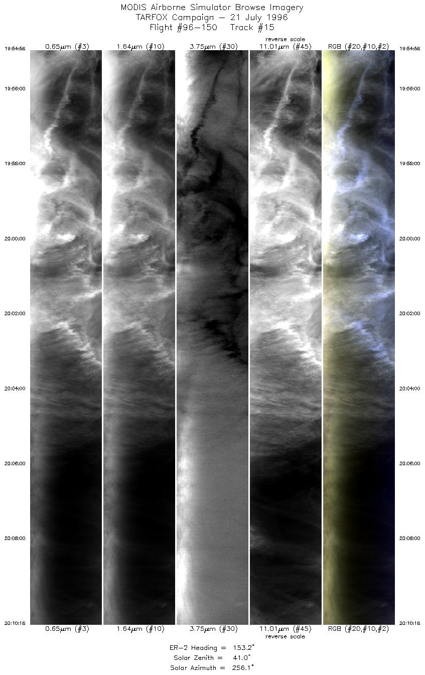
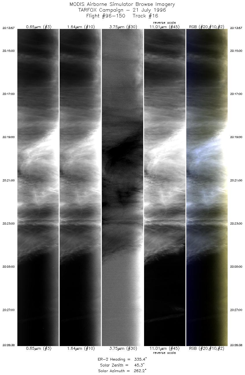
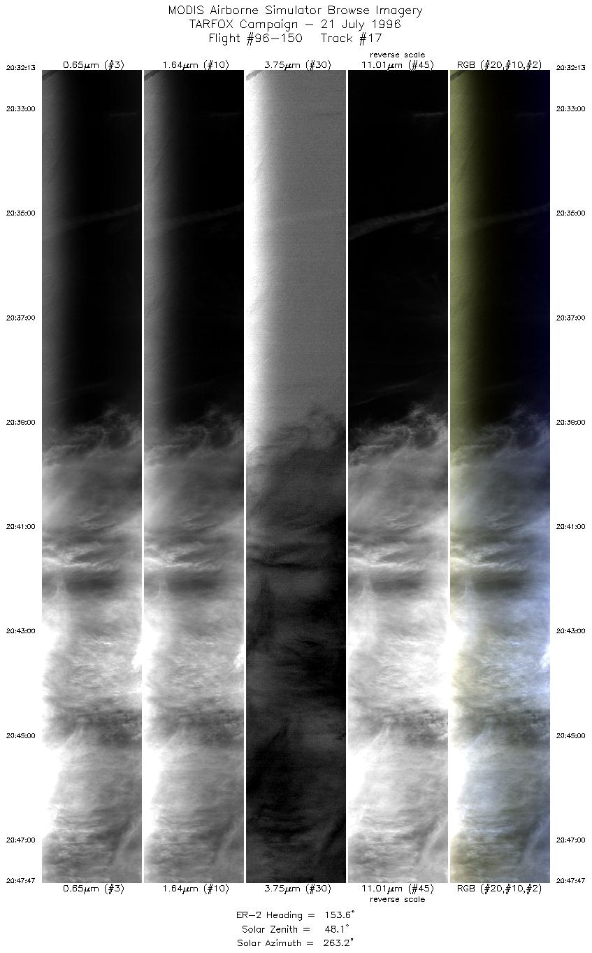
Results: MAS and LASE collected data well. Interference with LASE
telemetry interupted much of the LASE real-time signal. MAS
experienced noise in the longer wavelength channels. The visible
channels are the primary tools used for TARFOX objectives, and so
the noise problem is not serious. Images were streaked with cirrus
although two clear views were made of the Point A area within 3
minutes of the C-131 collecting sunphotometer data at 100ft. There
was slightly more aerosol than the day before.
Auxillary Information: Two sunphotometers, shadowband,
optronics, and pyranometer at Wallops were operational during the
flight although one sunphotometer needs recalibration. Sondes were
launched at 10:00 and 14:30 LT. Raman lidar was opertational.
Sandy Hook NJ and Hampton Roads sunphotometers were
operational. Additional shadowband taking data at Hampton Roads
site. Hog Island sunphotometer collected data on mainland at VCR
office parking lot.

