Objectives: To overfly the C131 during its profile over the ocean
in order to provide wider spatial and temporal
characterization of the aerosol. To provide real-time aerosol vertical
distribution with LASE. To provide imagery for MODIS validation
when the C-131 is at its lowest altitude. To overfly the
instruments on Wallops Island.
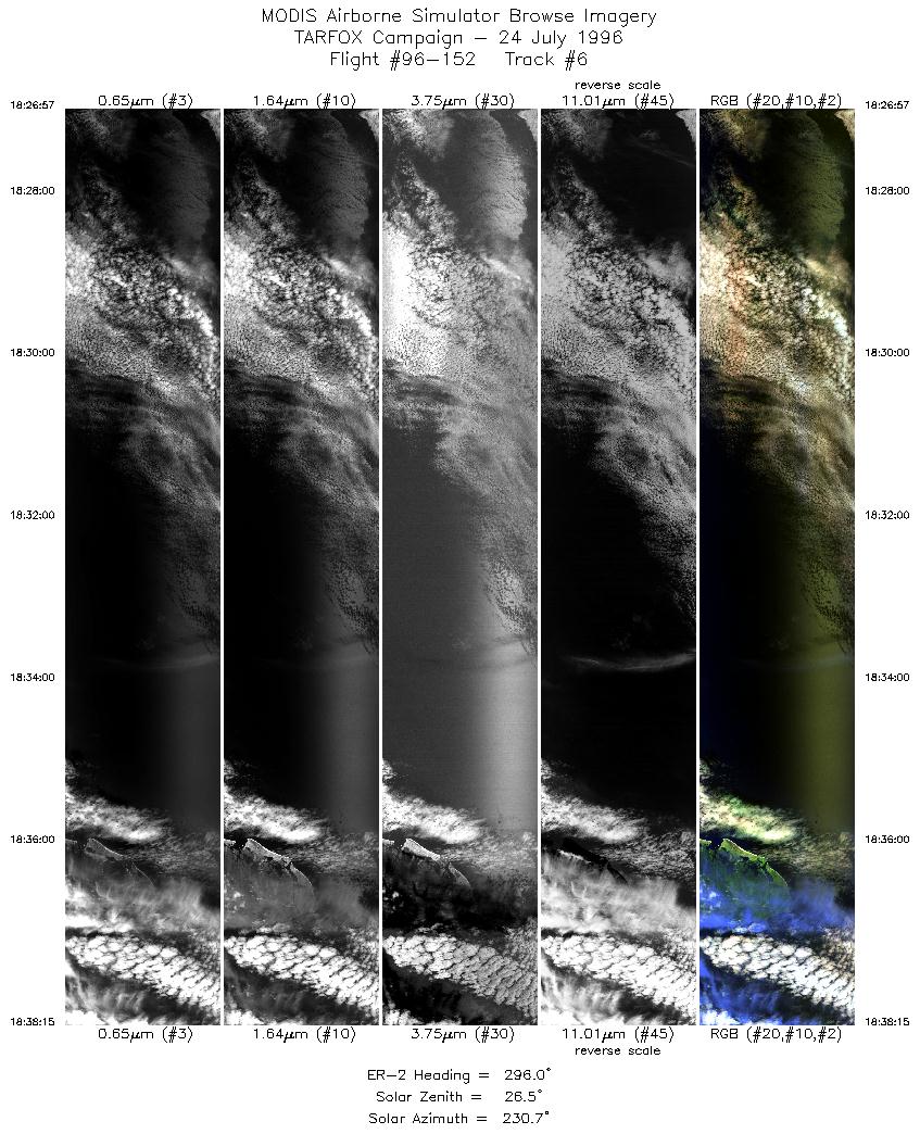
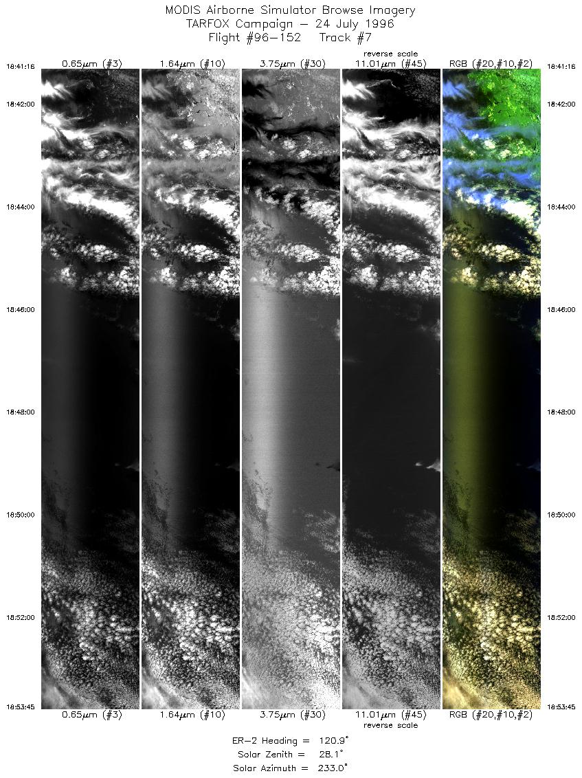
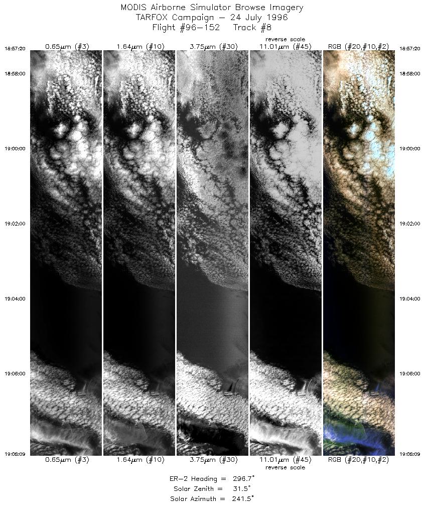
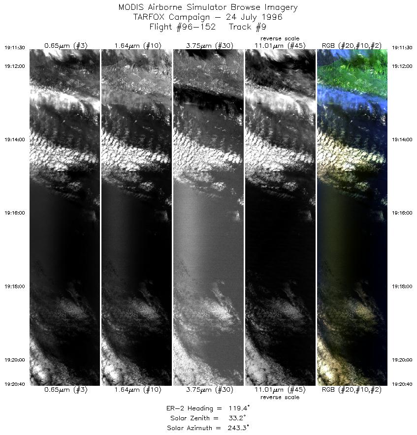
Meteorological Conditions: A stationary front orientated east-
west and crossing the shoreline over North Carolina was slowly
moving northward bringing clouds to the observation area. A
marine cloud deck was located to the northeast and bands of cirrus
were quickly moving in from over the continent. This left a patch of
clear ocean off the coast of Cape May NJ which proceeded to fill as
the clouds attacked it from three directions. In the cloudless region,
the air was hazy.
Summary: The ER-2 take-off was
1645 UTC (1245 LT) and the flight duration was
3 hours and 35 minutes.
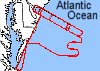
The ER-2 was directed to fly in a racetrack pattern along
the edges of the air traffic corridor leading into Deleware Bay. This
orientation approximately agrees with a course perpindicular to the
solar plane at 14:30 LT. Air traffic restrictions and laser eye safety
considerations prevented any other orientation to be considered.
The legs of the racetrack were approximately 60 n. mi and were
separated by approximately 20 n. mi. 4 loops were made before
clouds completely obscured the area. After the 1st loop the ER-2 was
advised to lengthen the NW end of the loop and shorten the SE end.
This adjustment in flight was successful. This gave the aircraft
longer cloudfree legs, but also brought the aircraft closer to shallow
coastal waters. The aircraft returned to Wallops after a pass over
the Wallops sunphotometers in almost cloud-free conditions.
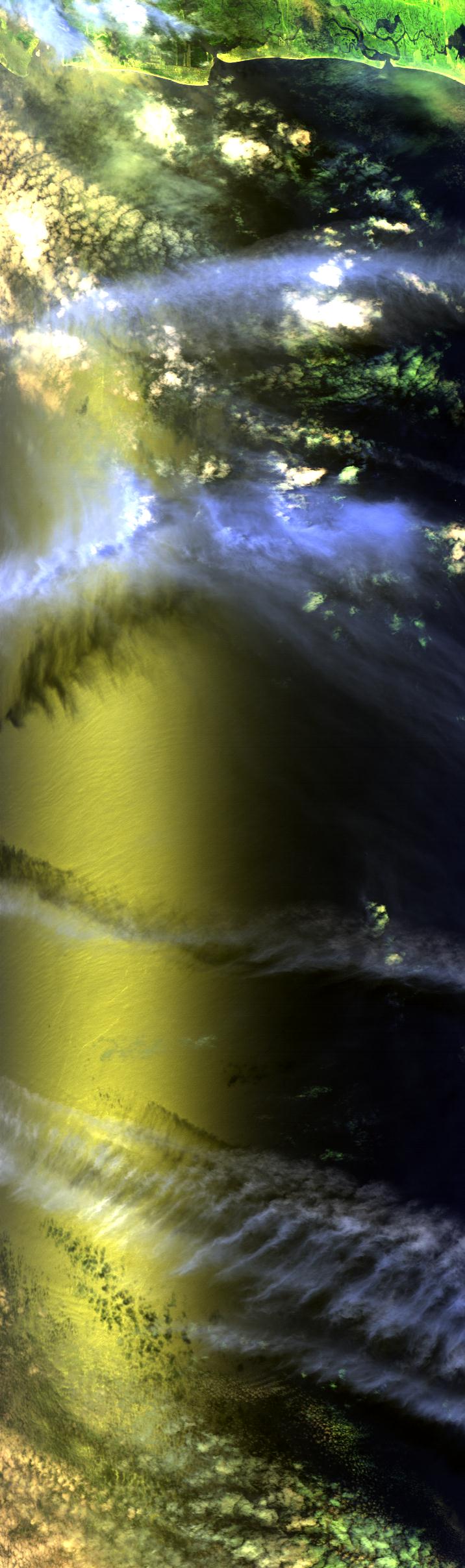
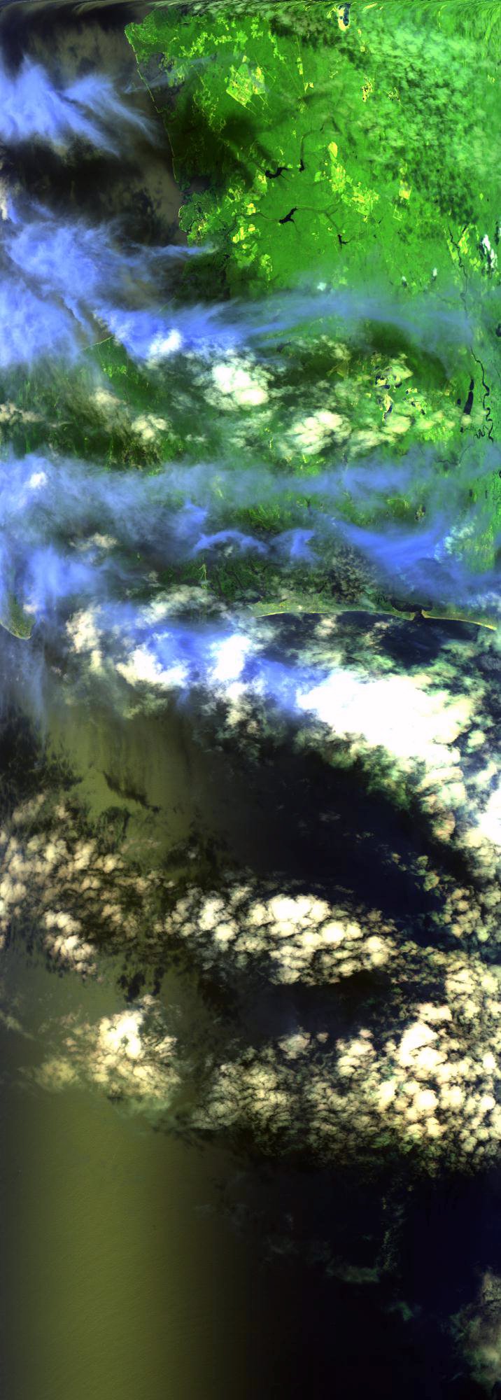
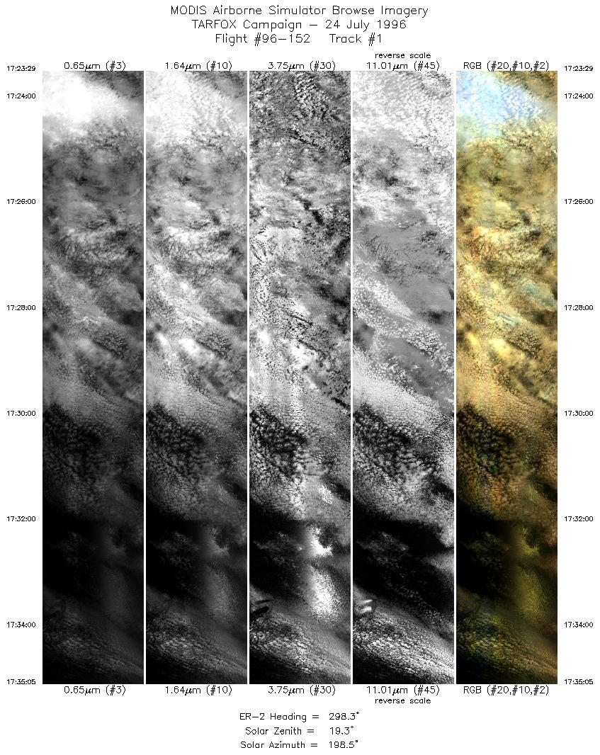
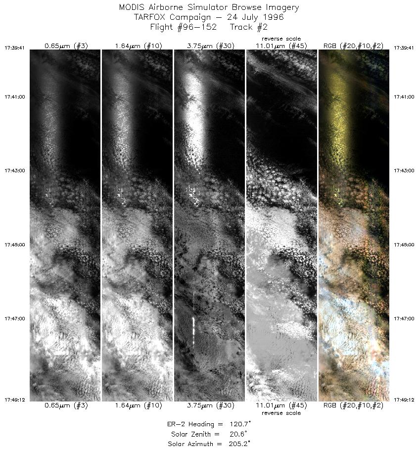
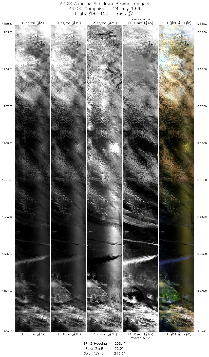
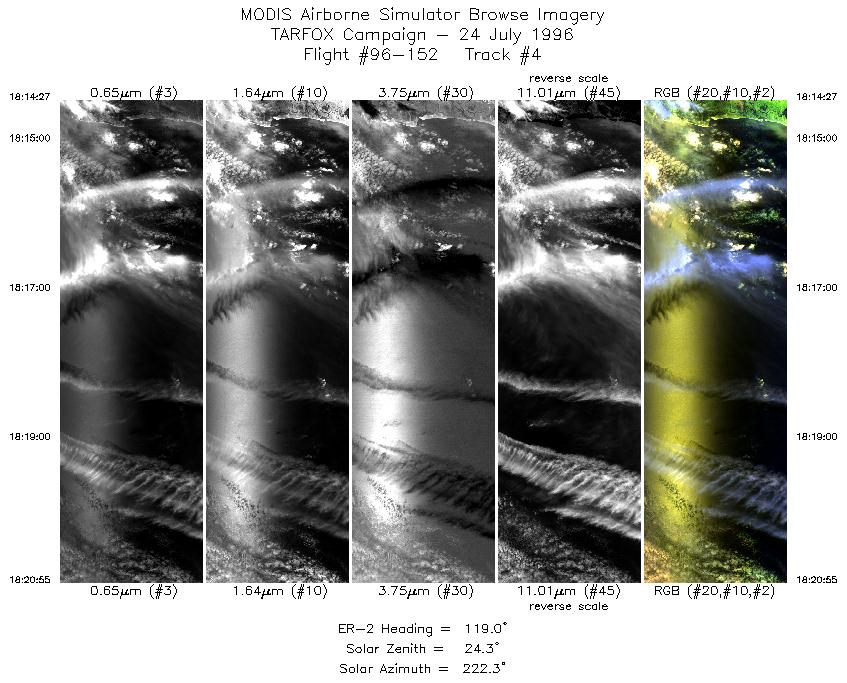
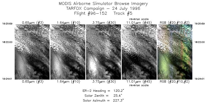
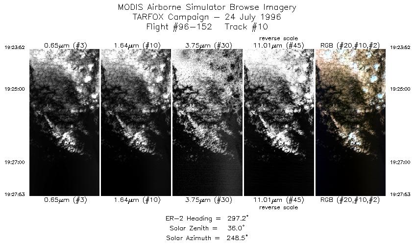
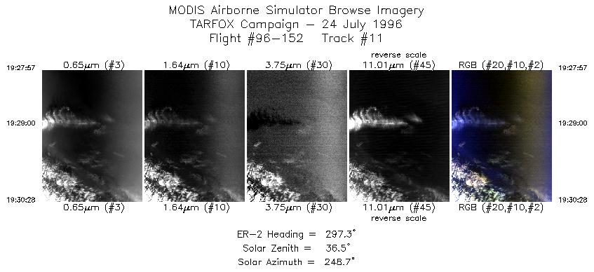
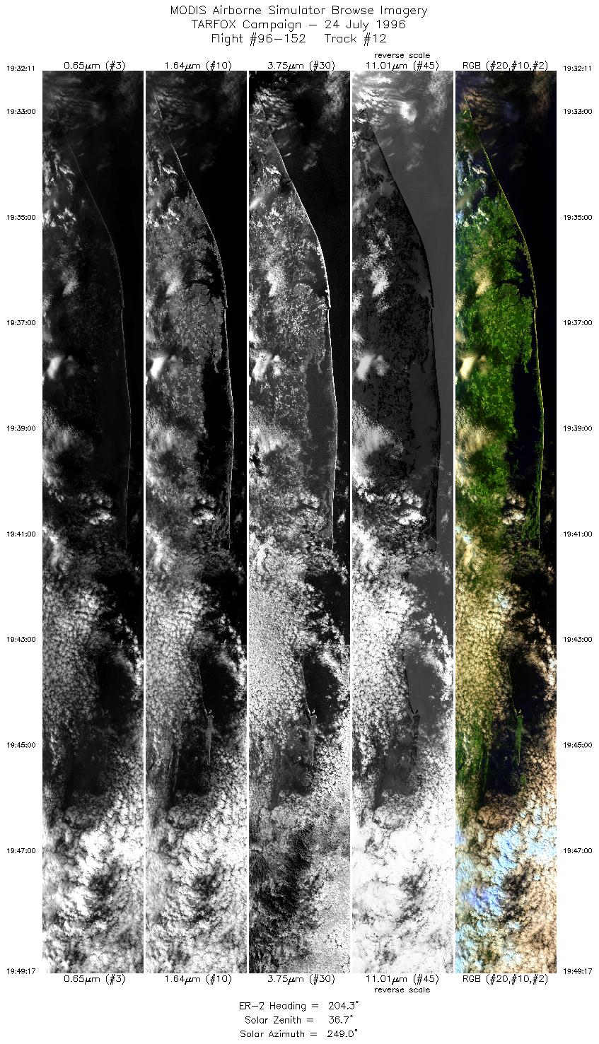
Results: MAS and LASE collected data well. Interference with LASE
telemetry interupted much of the LASE real-time signal. The MAS
thermal channels have not been reviewed and so noise levels have
not been determined. Three of the four loops intersected the quickly
disappearing cloudless hole. LASE revealed that the last intersection
was completely free of all cloud including cirrus. The C-131 should
have been at low altitude in this image although flight tracks have
not been reviewed to confirm the overflight. Sunglint intrudes in the
forward scan of the images, but sufficient unaffected ocean surface
remains in the scan away from the sun.
Auxillary Information: Two sunphotometers and the
shadowbandat Wallops were operational during the flight although
one sunphotometer needs recalibration and clouds obscured much of
the signal. Sondes were launched at 10:00 and 14:30 LT. Raman
lidar was operational. Sandy Hook NJ and Hampton Roads
sunphotometers were operational.