TARFOX Campaign
Flight #96-149

Sample Image
click image!
20 July 1996
Track #01


"Atlantic coastline from Assateague Island, Maryland to Cape Henry, Virginia"

R: 2.15 microns
G: 1.64 microns
B: 0.55 microns
Summary Information
Date: July 20, 1996
ER-2 Flight Number: 96-149
Location: North Carolina to DelMarVa Penninsula to Atlantic Ocean
Principle Investigator: Dr. Yorum Kaufman
Mission Scientists: Tanre, Ismail Additional Sensors: CIR-12"_RC-10,LASE

Level-1B Processing Information
Level-1B Data Version: #10
Calibration Type: Final
Calibration Version: TARFOX_Ames 1.0
Temperature Adjustment: No
Status: Done!

Flight Track Map

click map!
Level-1B Browse Imagery
Straight Line Flight Tracks: 18
Scanlines Processed: 81202
Solar Azimuth and Zenith Angles
Note images for tracks 2 thru 17 depict ocean sunglint
Browse Images
Click on the Flight Track number to load images.
Lat/Lon ranges are for the BEG-END scanline nadir pixels.
Flight
Track
Time_Span
(GMT)
Heading
(Deg)
Lat_Range
(Deg_N)
Lon_Range
(Deg_W)
Length
(Scanlines)
Altitude
(Meters)
1 17:27-17:46 26 36.40-38.31 76.34-75.21 7014 ~20000
2 17:49-18:02 147 38.32-37.05 74.92-73.91 4934 ~20000
3 18:04-18:06 137 36.88-36.71 73.75-73.54 829 ~20000
4 18:18-18:34 334 36.88-38.44 73.32-74.33 5749 ~20000
5 18:40-18:55 153 38.55-37.00 74.22-73.27 5619 ~20000
6 19:01-19:18 332 36.77-38.44 73.26-74.33 6223 ~20000
7 19:23-19:38 152 38.63-37.00 74.28-73.27 5911 ~20000
8 19:43-19:48 329 36.77-37.24 73.25-73.56 1768 ~20000
9 19:48-20:00 333 37.25-38.44 73.56-74.32 4474 ~20000
10 20:04-20:20 151 38.63-37.00 74.28-73.27 5892 ~20000
11 20:26-20:42 332 36.82-38.45 73.29-74.33 6076 ~20000
12 20:47-20:55 150 38.63-37.77 74.28-73.74 3143 ~20000
13 20:55-21:03 154 37.74-36.99 73.72-73.27 2695 ~20000
14 21:06-21:09 57 36.99-37.17 72.92-72.58 1096 ~20000
15 21:09-21:22 60 37.18-37.94 72.54-70.91 4991 ~20000
16 21:28-21:52 271 38.18-38.21 70.90-74.42 9123 ~20000
17 21:53-21:57 297 38.21-38.40 74.50-74.97 1351 ~20000
18 21:58-22:10 206 38.33-37.11 75.19-75.92 4314 ~20000
Images 01 through 18 in sequence

Level-1B HDF Data Distribution Point
NASA GSFC Earth Sciences (GES) Data Center
NASA DAAC's

Additional Information
Objectives: To overfly the ground instruments at Wallops. To overfly the C131 during its profile over the ocean at Point A when it is at low altitude. To overfly the cruise ship Meridian on its approach to New York.

Meteorological Conditions: The area was clear of both clouds and aerosols in the early morning, broken clouds at the TM overpass (~11:00 LT), then clear conditions and low humidity at Wallops.

Summary: The ER-2 take-off was 1648 UTC (1248 LT) and the flight duration was 6 hours and 5 minutes. 
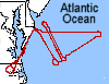
The ER-2 was directed to fly perpendicular to the solar plane at 14:30 LT at point (38 20' N and 74 00' W) in a racetrack pattern separated by 6 n. mi. 4 loops were made. Then the ER-2 flew over the cruise ship at 38 10' N and 70 45' W, returning to Wallops after a second pass over the Wallops sunphotometers.

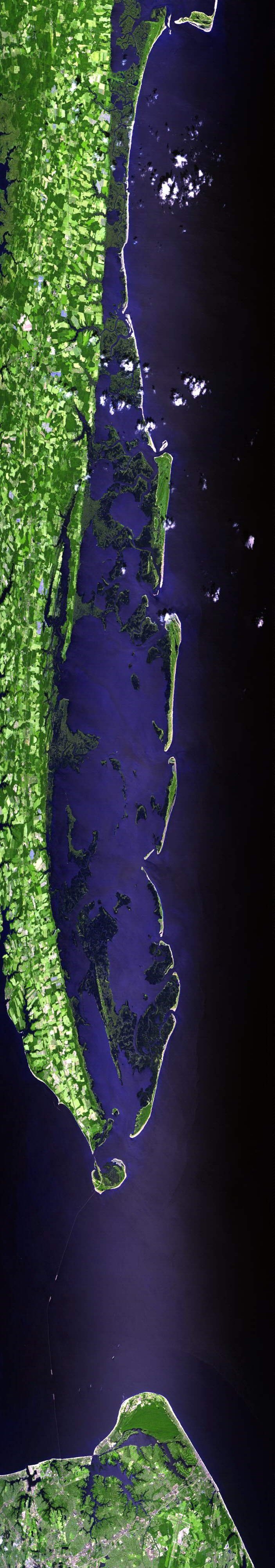
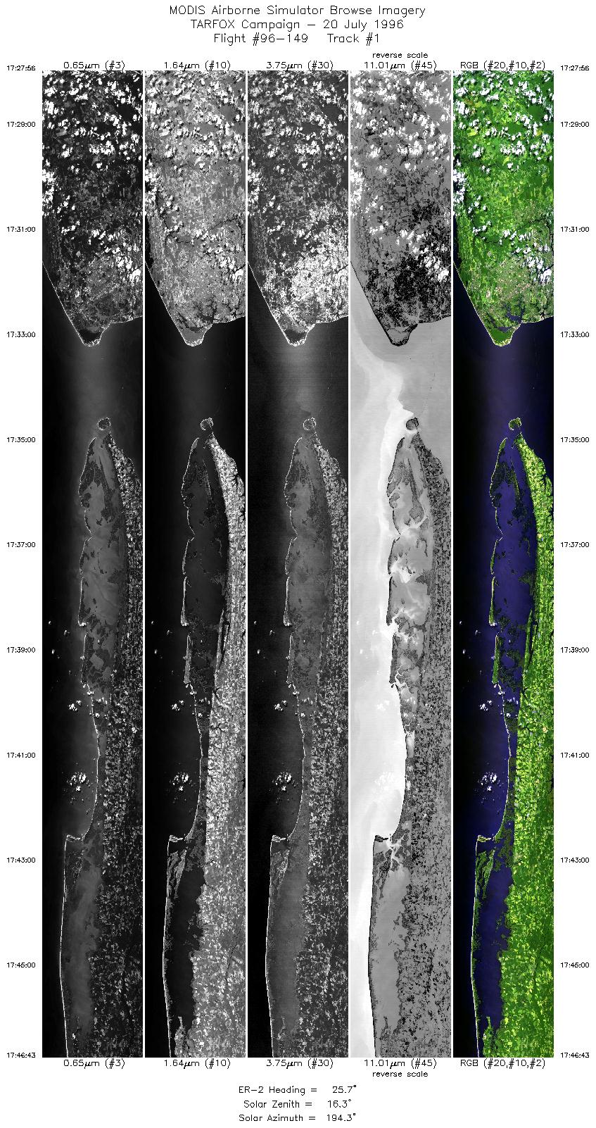
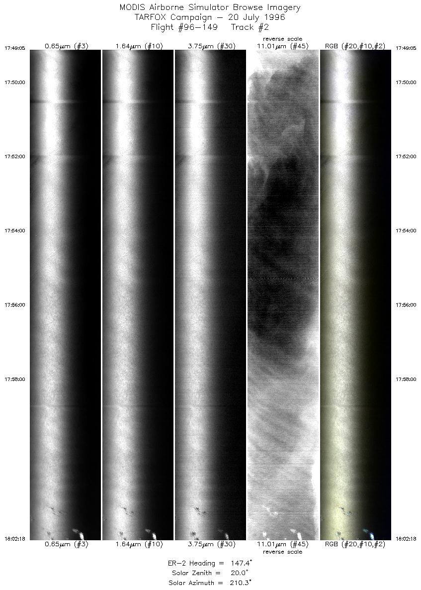
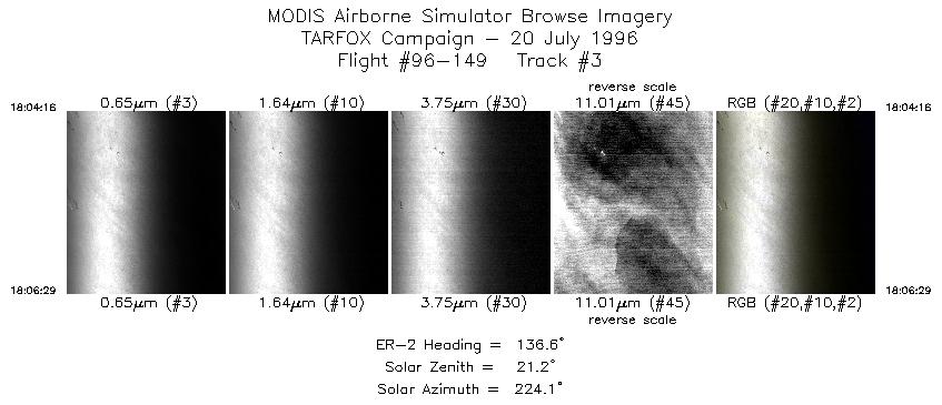
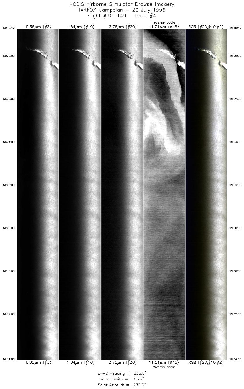
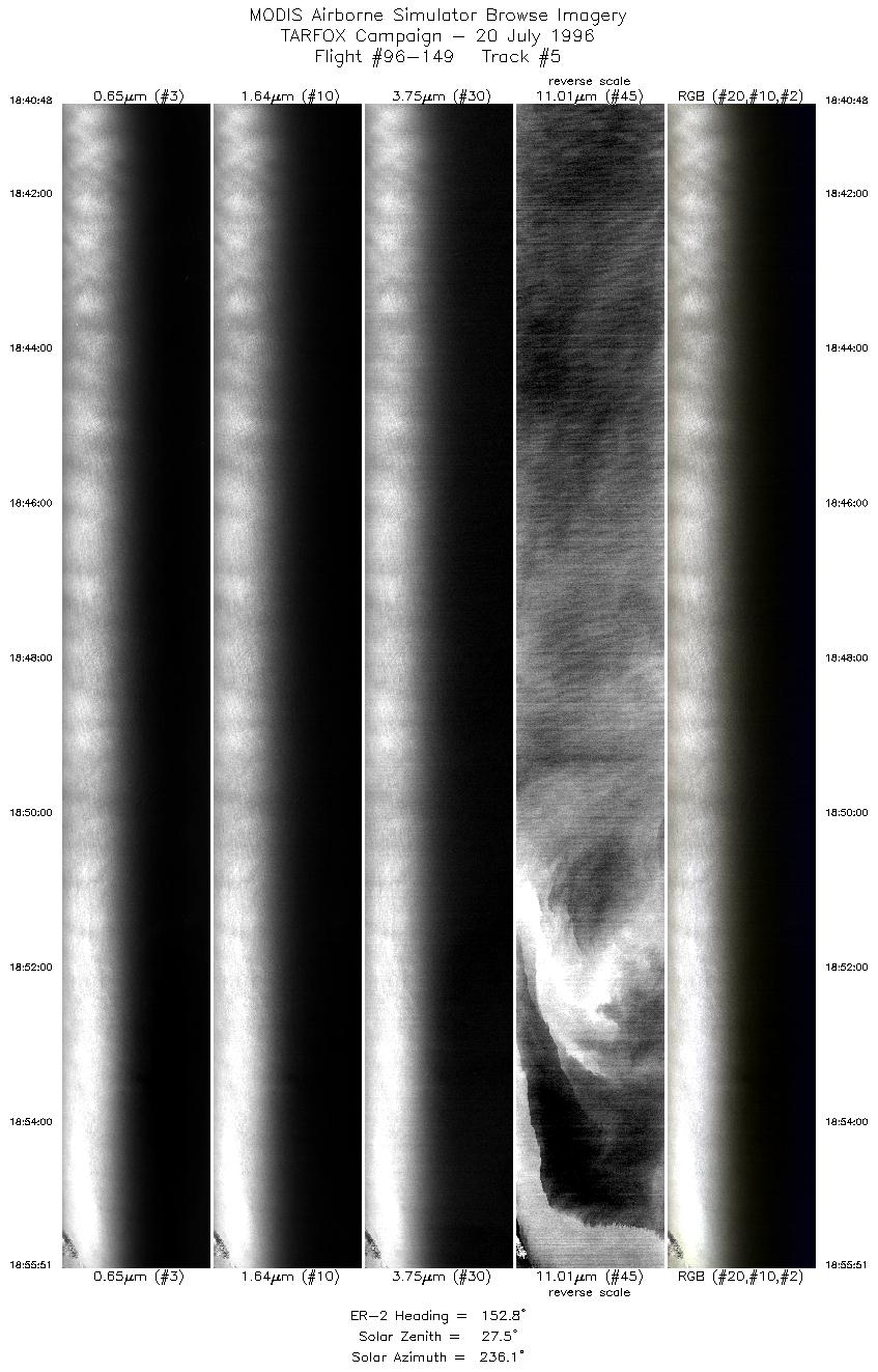
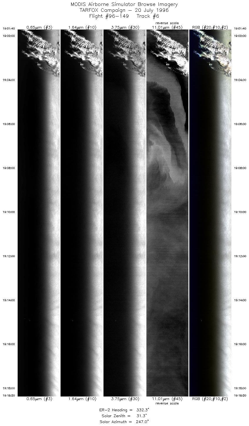
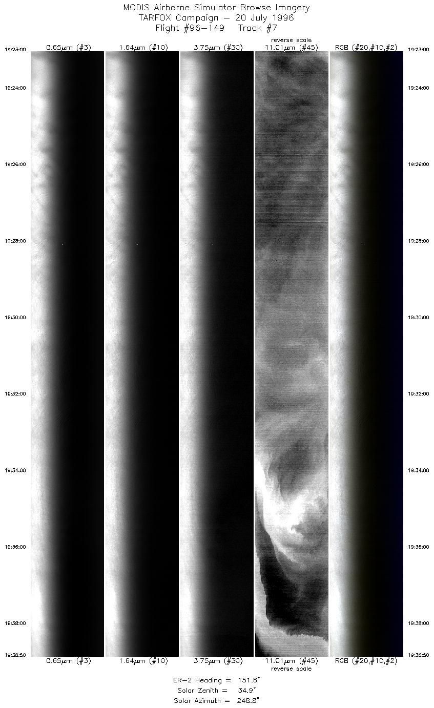
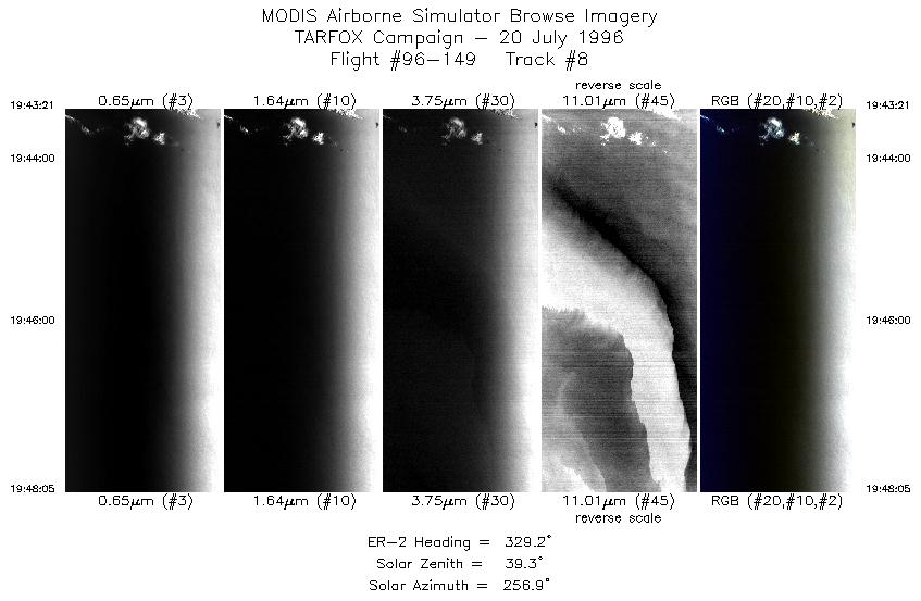
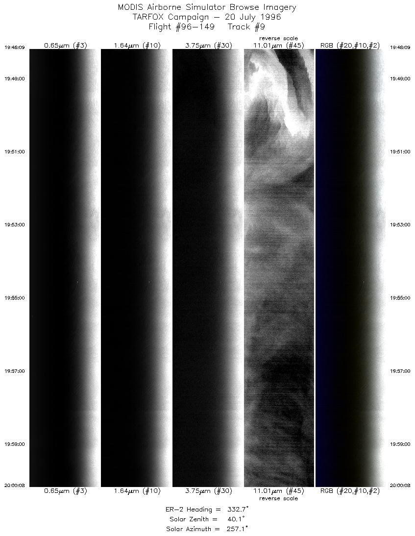
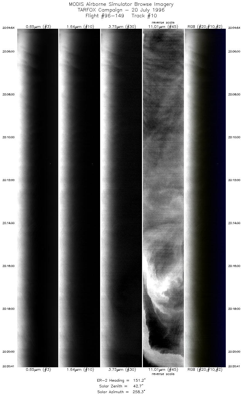
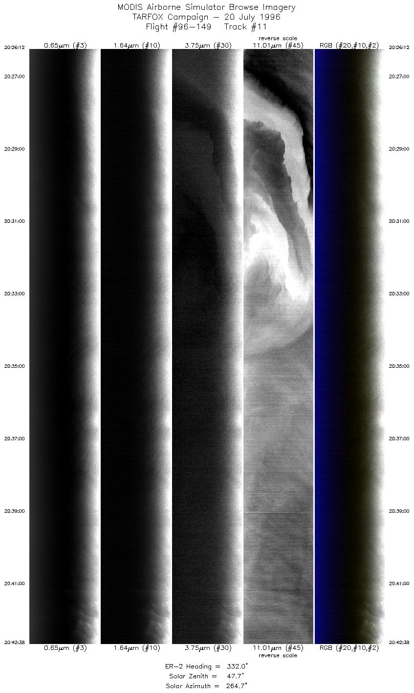
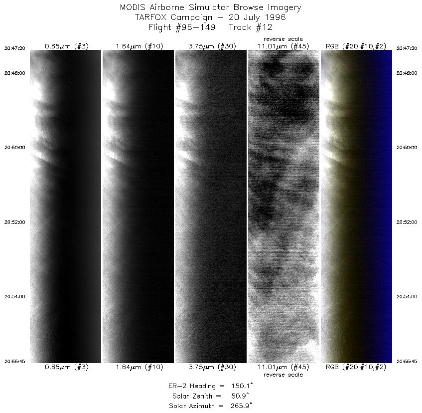
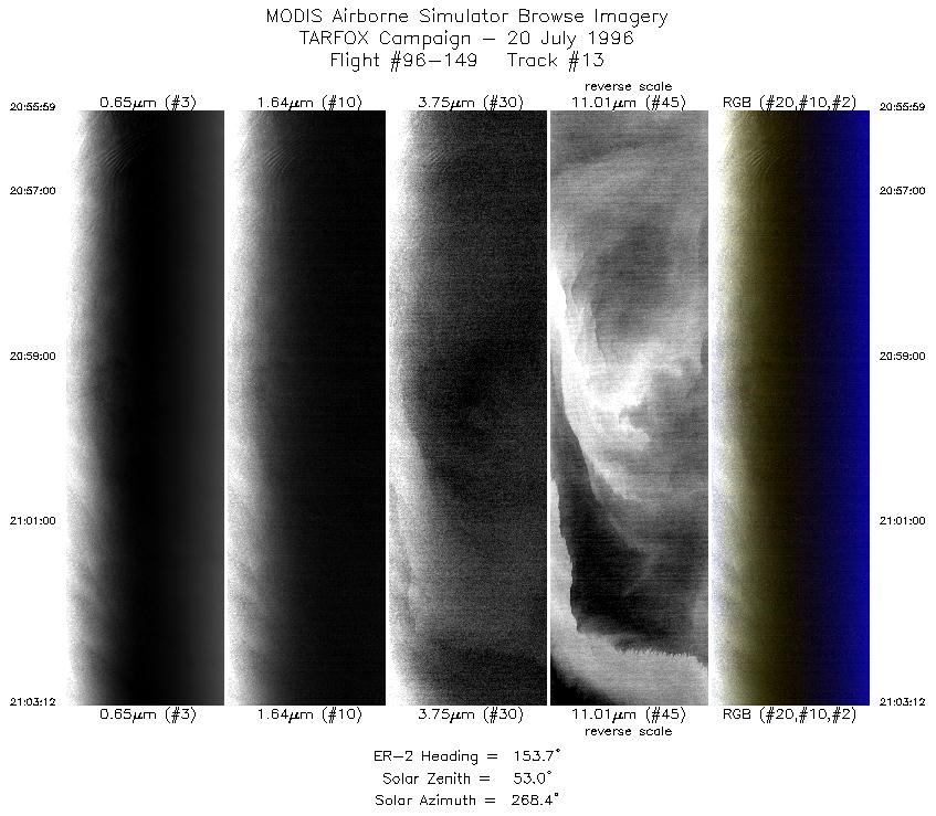
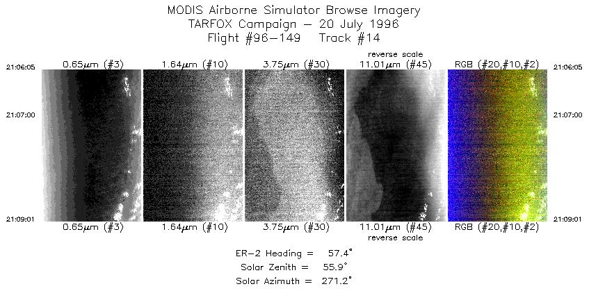
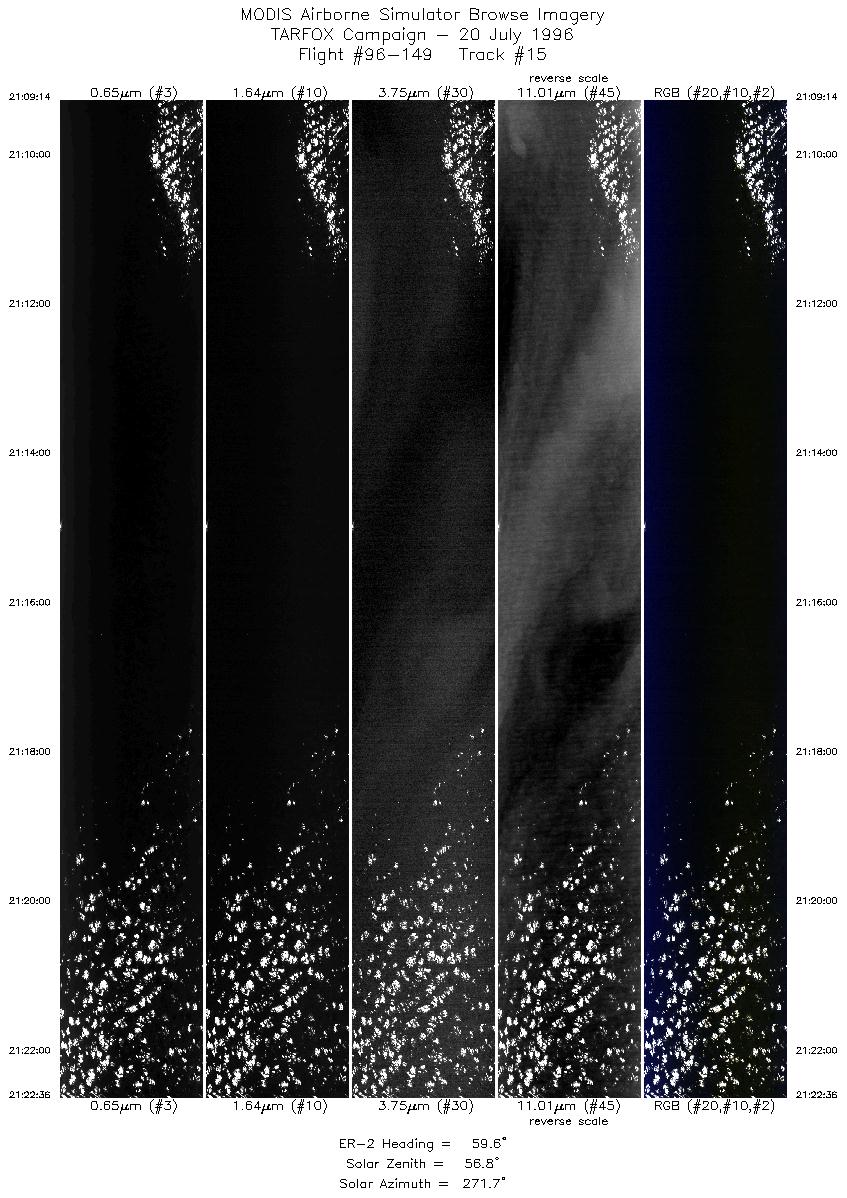
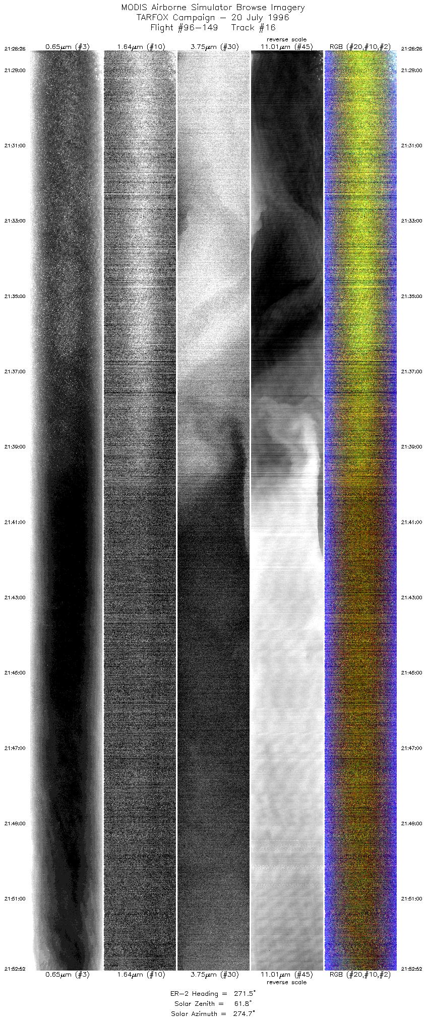
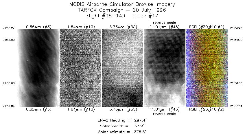
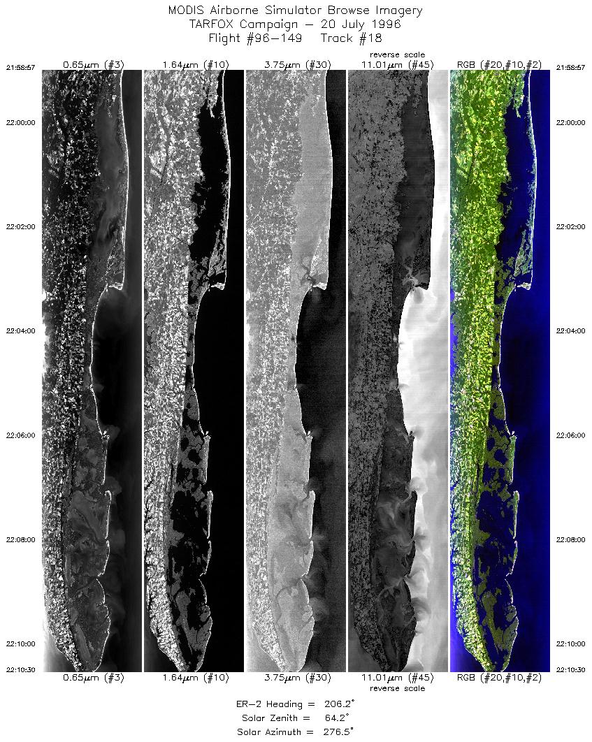
Results: MAS and LASE collected good data. Interference with LASE telemetry interupted much of the LASE real-time signal. Images were nearly cloudless during the entire flight although there were areas over land and ocean with limited altocumulus patches. Much clear, clean sky data.

Auxillary Information: Two sunphotometers, shadowband, optronics, and pyranometer at Wallops were operational during the flight although one sunphotometer needs recalibration. Sondes were launched at 10:00 and 14:30 LT. Raman lidar was opertational. Sandy Hook NJ and Hampton Roads sunphotometers were operational. Additional shadowband taking data at hampton Roads site. Hog Island sunphotometer collected data on mainland at VCR office parking lot.


Back to: [TARFOX Campaign]

Another TARFOX Flight?
#96-145 #96-146 #96-147 #96-148 #96-149
#96-150 #96-151 #96-152 #96-153 #96-154
Accessibility