Objectives: To fly a coordinated flight over the C131 and the
Pelican in order to provide real-time LASE data and wider horizontal,
vertical and temporal characterization of the aerosol than could be
measured by the in situ aircraft. To obtain clear, glintless imagery
when the C131 was flying low in order to validate MODIS algorithms.
to underfly the AVHRR overpass at 1840 UTC.
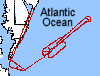
Meteorological Conditions: There would be a cloudless hole
between low level "fog like clouds" moving from the shore eastward
and high level cirrus bleeding off of the midwestern thunderstorms
and eventually covering the ocean area. The hole would be best
encountered to the south east. The prime work area, unfortunately,
would be closed due to a scheduled drone launch in the afternoon
from Wallops island. The forecast verified accurately. The low level
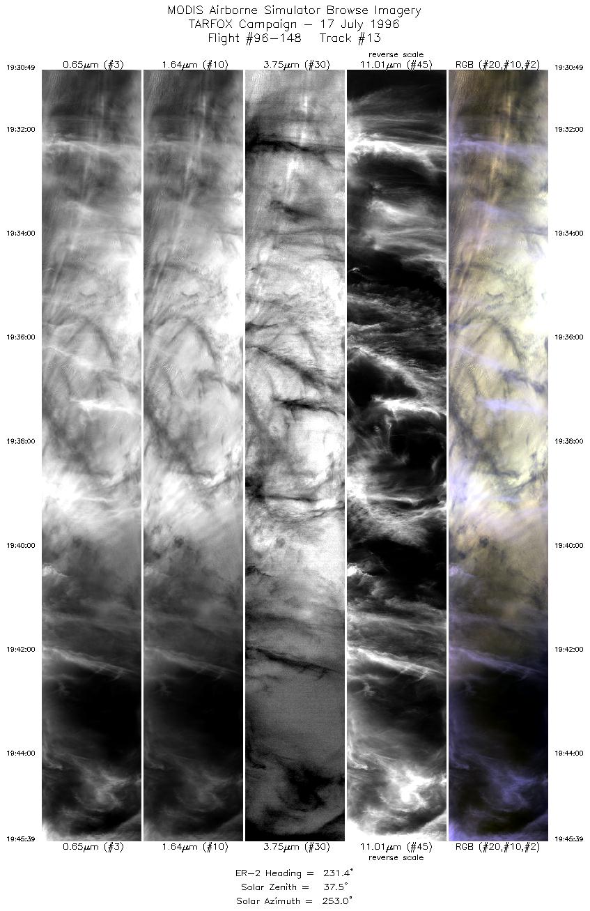
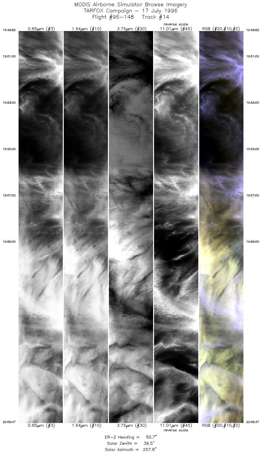
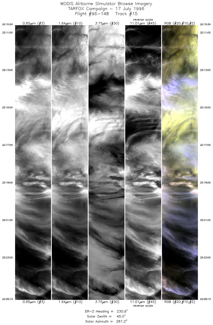
cloud moved eastward but expanded in extent. The cirrus advanced
faster than expected, but a hole did develop and provided about an
hour of data.
Summary: The ER-2 take-off was 1645 UTC (1245 LT), and the flight
duration was 5 hours and 25 minutes. The aircraft was
directed to fly a racetrack pattern with
100 n. mi. legs spaced 6 n. mi. apart orientated at 230 degrees which
roughly matched the solar plane at AVHRR overpass time. 5 circuits
of the track were flown before passing once over Wallops Island and
descending.
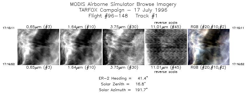
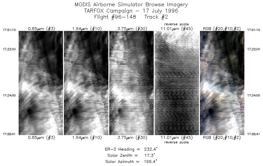
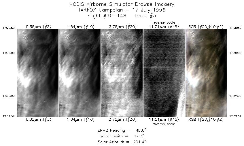
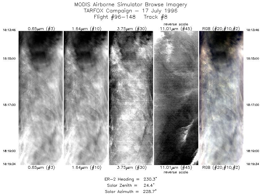
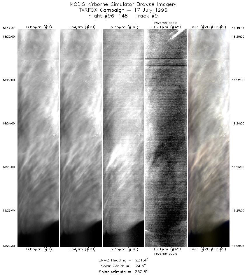
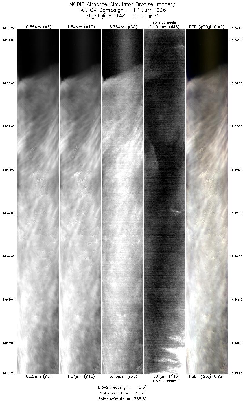
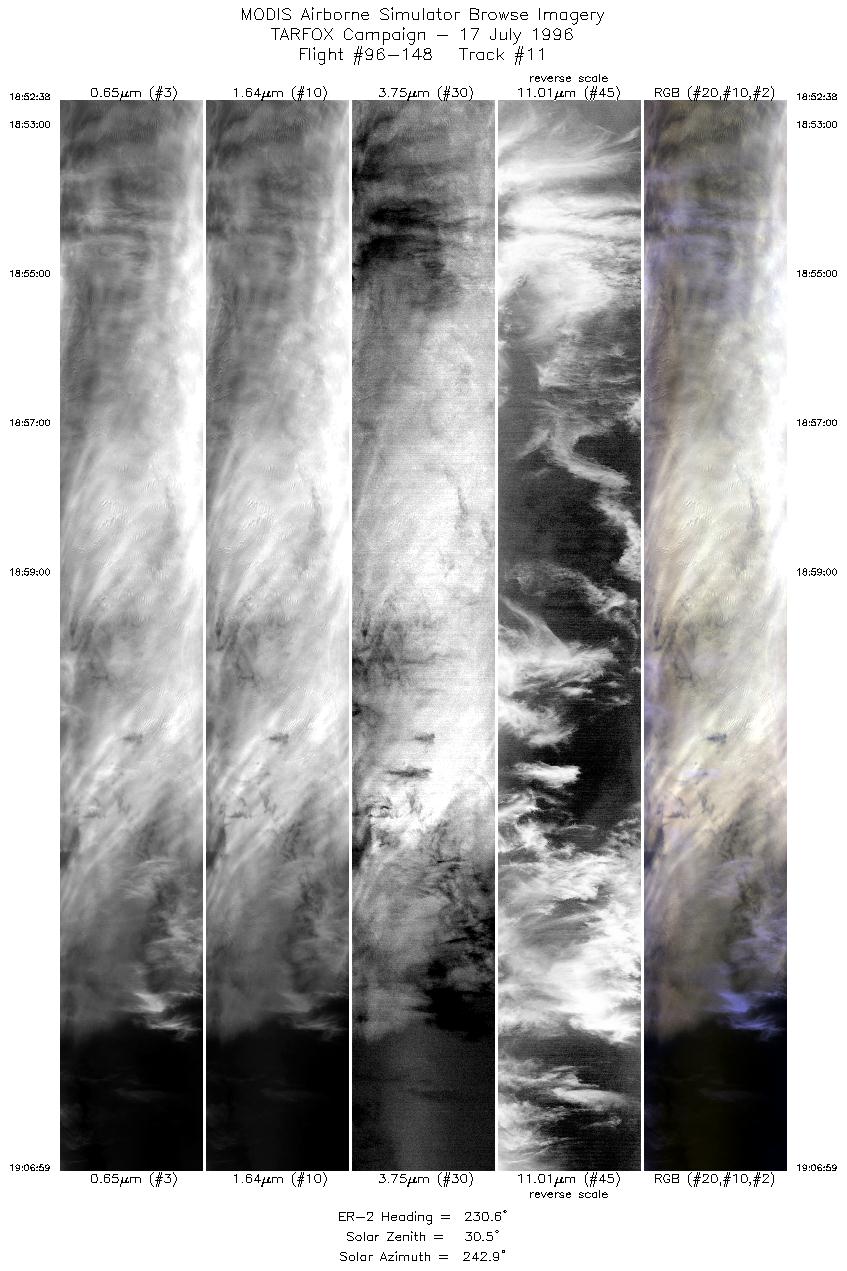
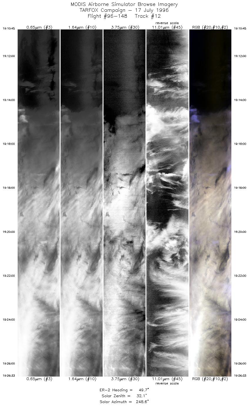
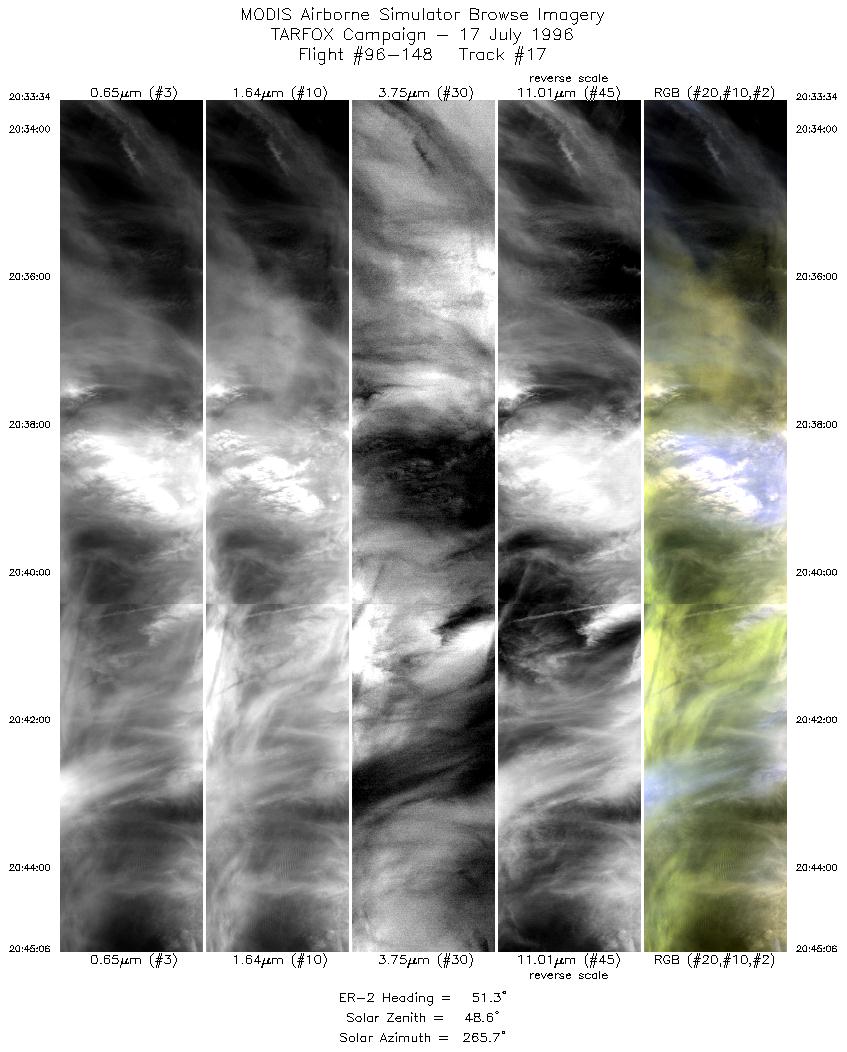
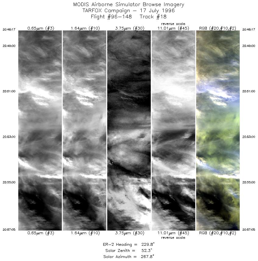
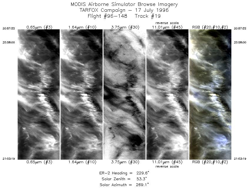
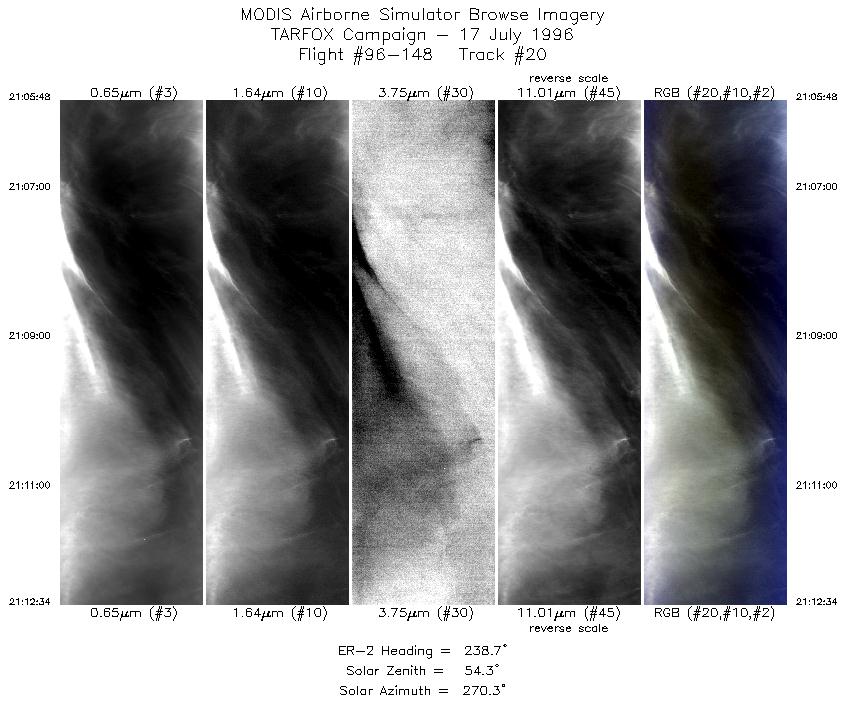
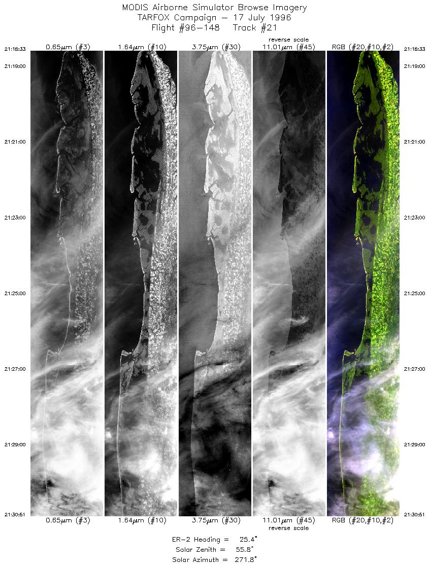
Results: MAS and LASE worked well. The first pass over the
primary point was cloudy but the second and third pass were clear.
The second pass corresponds to AVHRR overpass. After 19:12 UTC
the area was completely cloudy. At the time of the second pass, the
C131 was at 100 ft, but there was sunglint. It was at 2.5 km at the
time of the third pass, and glint free. LASE data show clearly the
increase in cirrus from pass to pass and the vertical profile of
aerosol.
Auxillary Information: Two sunphotometers and shadowband at
Wallops were operational during the flight although one
sunphotometer needs recalibration. Sondes were launched at 10:00
and 14:30 LT. The morning was clear for good data collection, but
the afternoon was cloudy. Back trajectory calculations show that the
air over Wallops Island in the morning was the same air measured at
sea by the aircraft in the afternoon. Raman lidar was opertational.
Sandy Hook NJ and Hampton Roads sunphotometers were
operational, but affected by clouds.
