


MODIS Airborne Simulator (MAS)
CAMPAIGN SUMMARY INFORMATION
|
Radar Definition Experiment (RADEX) Part of the Olympic Mountains Experiment (OLYMPEX) Dates: 16 November - 15 December, 2015 Location: Olympic Peninsula, Washington eMAS Principal Investigator: Dr. Steven Platnick (NASA GSFC) Configuration: 38 Channel Additional Sensors: AirMSPI, AMPR, CPL, CRS, EXRAD, HiWRAP Objective: The goal of the campaign is to collect detailed atmospheric measurements that will be used to evaluate how well rain-observing satellites measure rainfall and snowfall from space. In particular, OLYMPEX will be assessing satellite measurements made by the Global Precipitation Measurement (GPM) mission Core Observatory, a joint mission by NASA and the Japan Aerospace Exploration Agency (JAXA), which launched in 2014. |
||||||||||||||||||||||||||||||||||||
|
Processing Information Flights Processed: 15 Total Flight Tracks: 266 Total Scanlines: 1014613 Level-1B Version: 1.0 Calibration Type: Final Calibration Version: 1.0 Temperature Adjustment: None Status: Level-1B data is available in HDF format |
||||||||||||||||||||||||||||||||||||
|
eMAS Spectral Information Spectral Band Configuration Spectral Response Function Table |
||||||||||||||||||||||||||||||||||||
|
Level-1B and Level-2 Data Distribution Level 1 and Level 2 / Atmosphere Archive and Distribution System (LAADS) |
||||||||||||||||||||||||||||||||||||
|
Level-1B and Level-2 Data Distribution Level 2 Preliminary Cloud Retrieval Imagery |
||||||||||||||||||||||||||||||||||||
|
||||||||||||||||||||||||||||||||||||
|
||||||||||||||||||||||||||||||||||||
|
Related Web Sites Official University of Washington OLYMPEX Home Page NASA OLYMPEX Information Page NASA Airborne Science Program |
||||||||||||||||||||||||||||||||||||
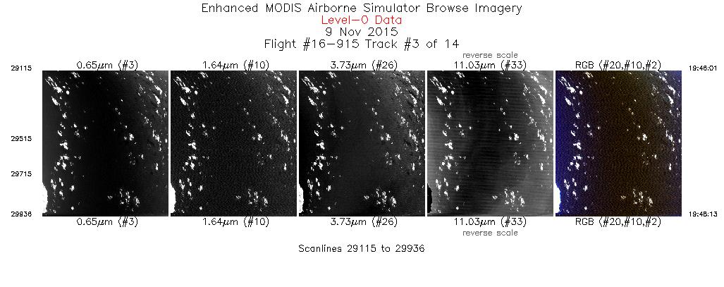
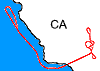 Flight: 16-915
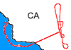 Flight: 16-916
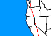 Flight: 16-917
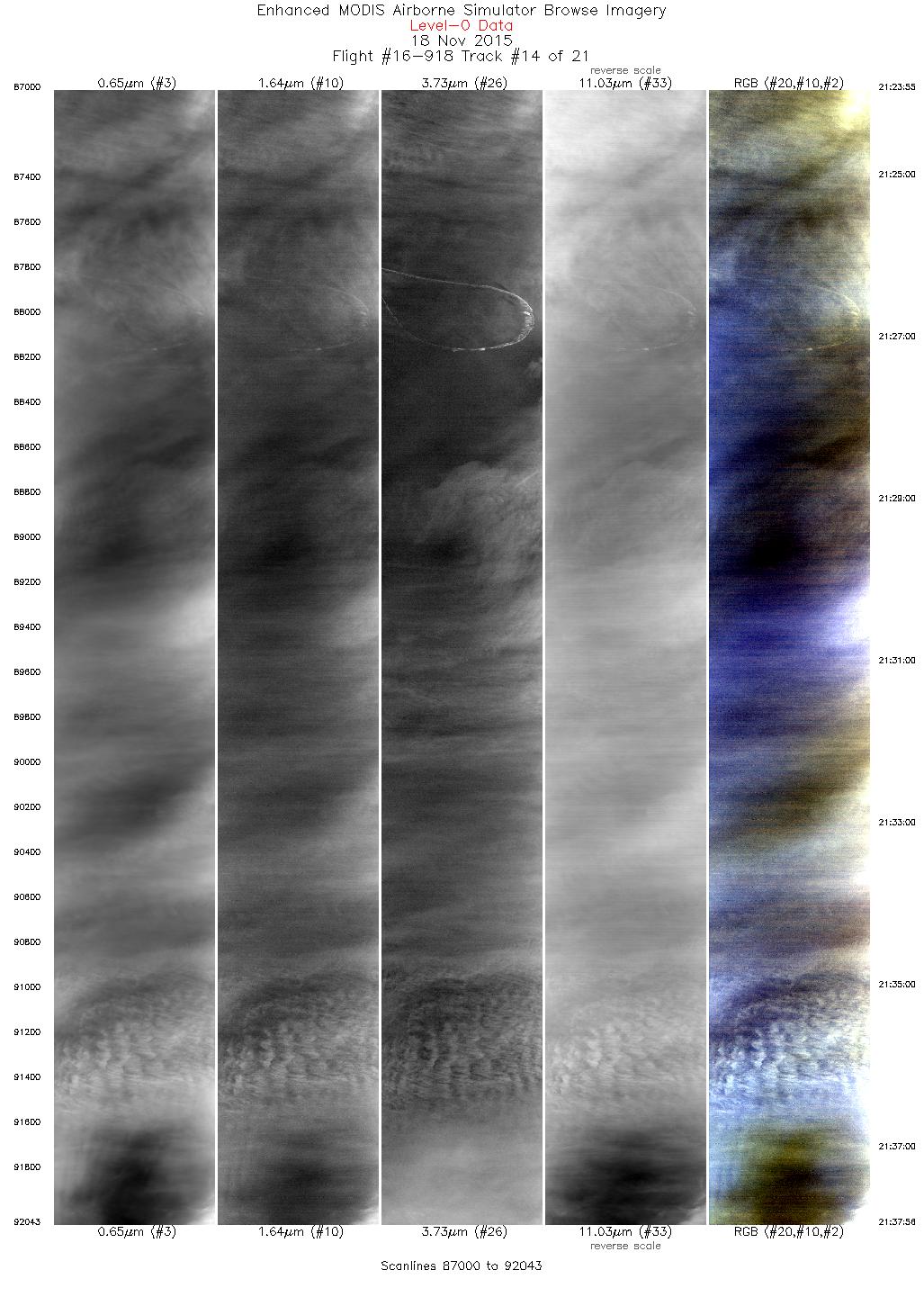
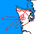 Flight: 16-918
 Flight: 16-919
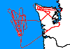 Flight: 16-920
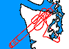 Flight: 16-921
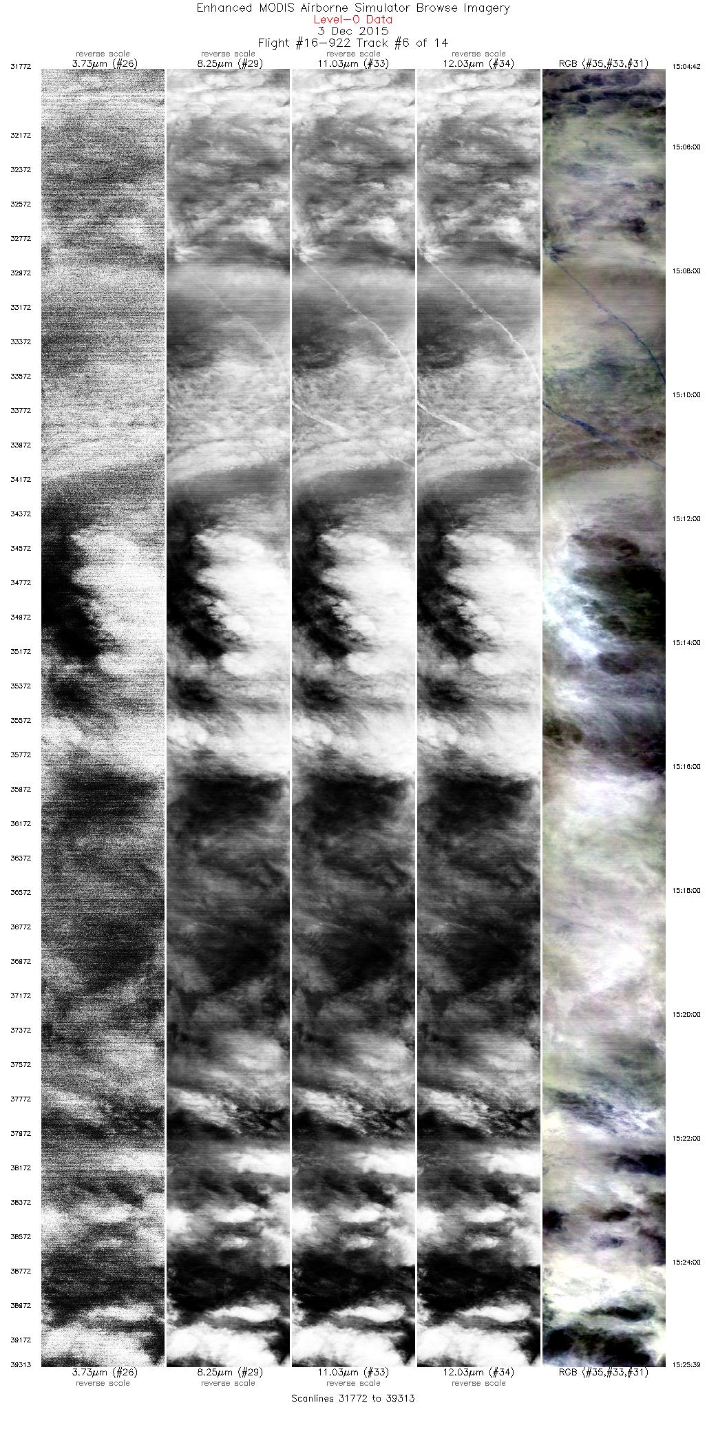
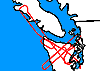 Flight: 16-922
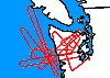 Flight: 16-923
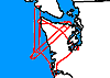 Flight: 16-924
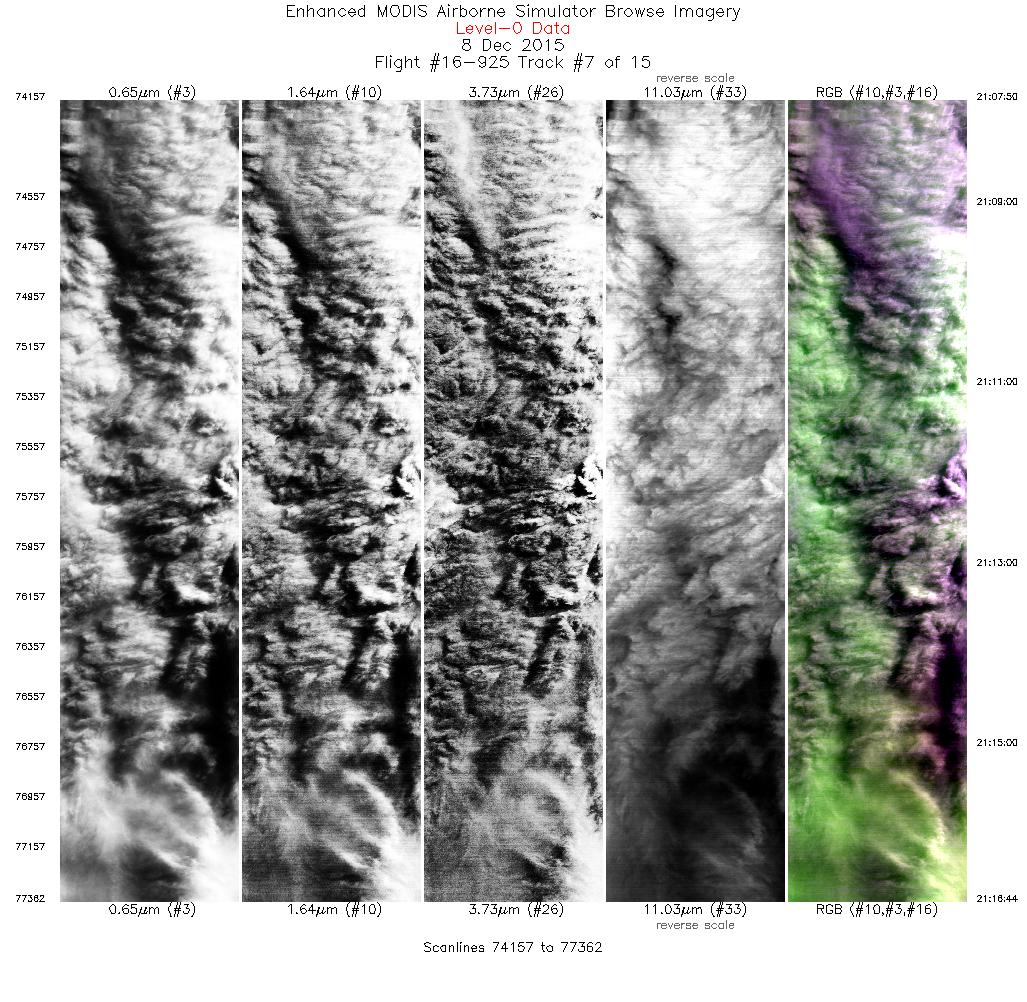
 Flight: 16-925
 Flight: 16-926
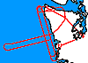 Flight: 16-927
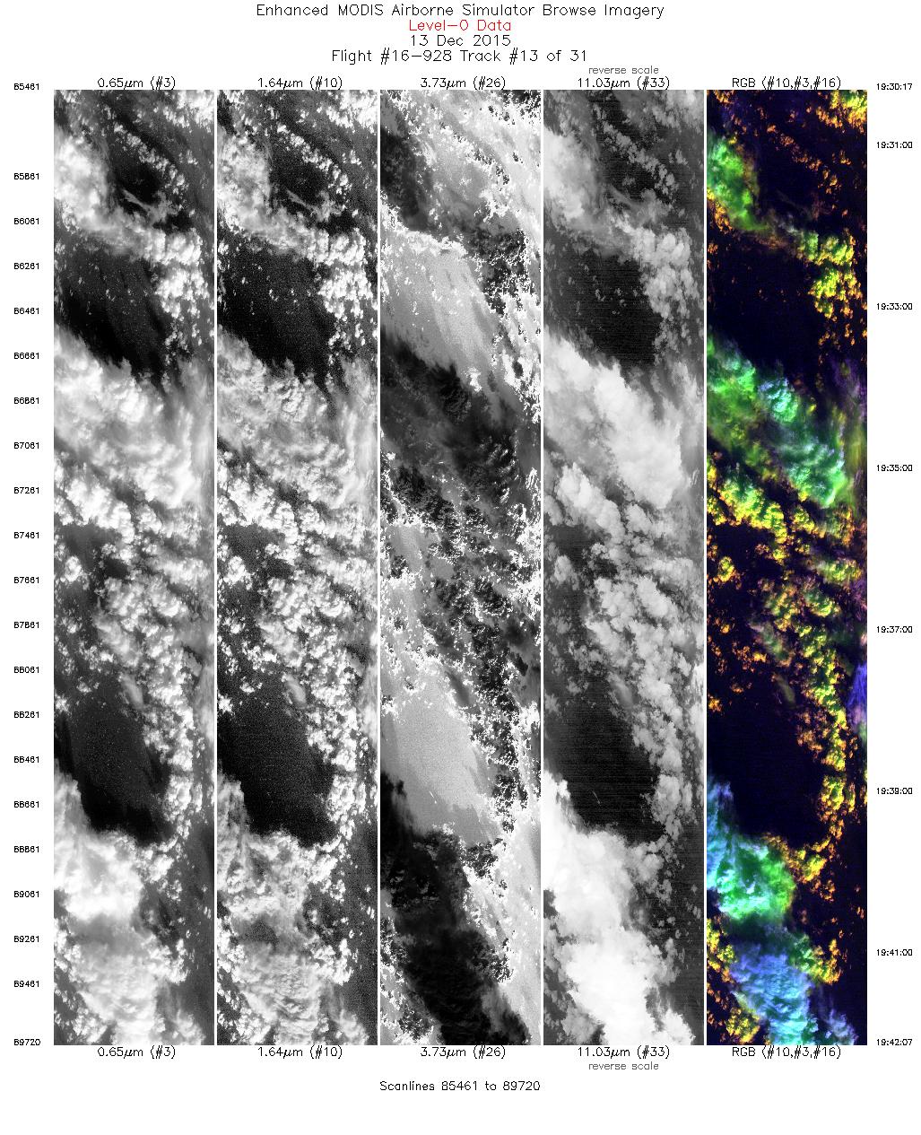
 Flight: 16-928
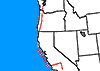 Flight: 16-929
RADEX


- NASA Official: Matt Fladeland
- Project Manager: James Jacobson
- Website Editor: Eric Fraim
- Last Updated: March 21, 2024


