Flight: 16-923
Date: 04 Dec 2015
Location: Washington / Pacific Ocean
Deployment: RADEX (OLYMPEX)
Principal Investigators: Dr. Steven Platnick (NASA GSFC)
Configuration: 38 Channel
Additional Sensors: AirMSPI-1 / AMPR / CPL / CRS / HiWRAP
|
Data Evaluation
Overall quality is fair
|
Processing Information
Level-1B Data in HDF format is available
Flight Line Summary
Spectral Band Configuration
Spectral Response Function Table
Spectral Response Function (text)
|
Browse Imagery
Flight Tracks: 28
Scanlines: 102531
|
Browse Imagery Table
|
Click a Flight Track number to view a quicklook image
Lat/Lon ranges are for the BEG-END scanline nadir pixels
|
Flight
Track |
Time Span
(UTC) |
Heading
(Deg) |
Lat Range
(Deg N) |
Lon Range
(Deg W) |
Length
(Scanlines) |
Altitude
(Meters) |
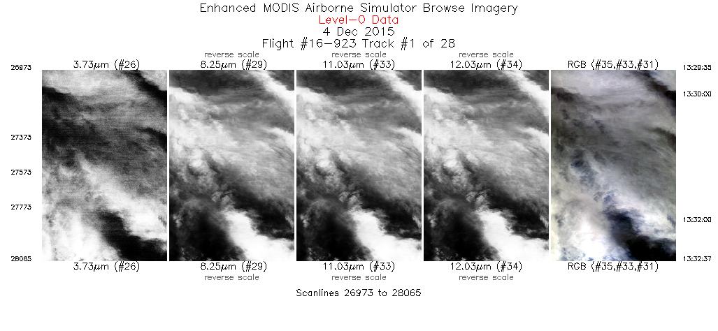
| 1 |
13:29 - 13:32 |
38.1 |
47.686 - 47.954 |
123.672 - 123.307 |
1093 |
16963 |
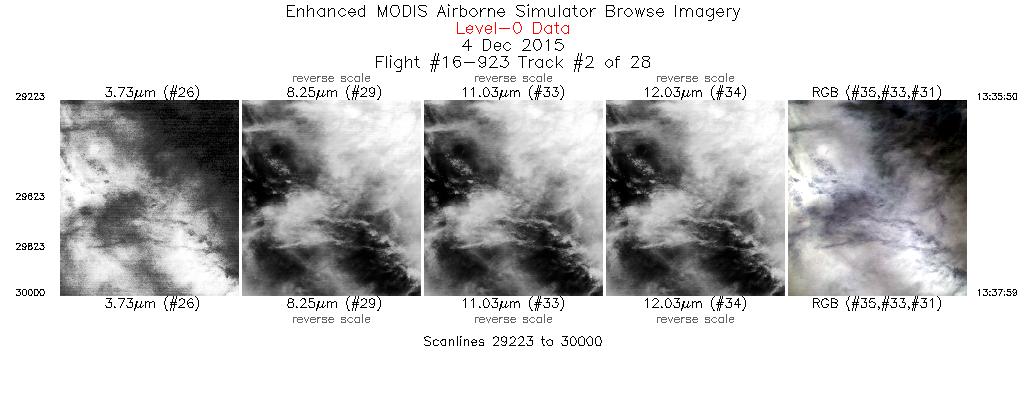
| 2 |
13:35 - 13:37 |
214.6 |
47.801 - 47.609 |
123.045 - 123.222 |
778 |
17924 |
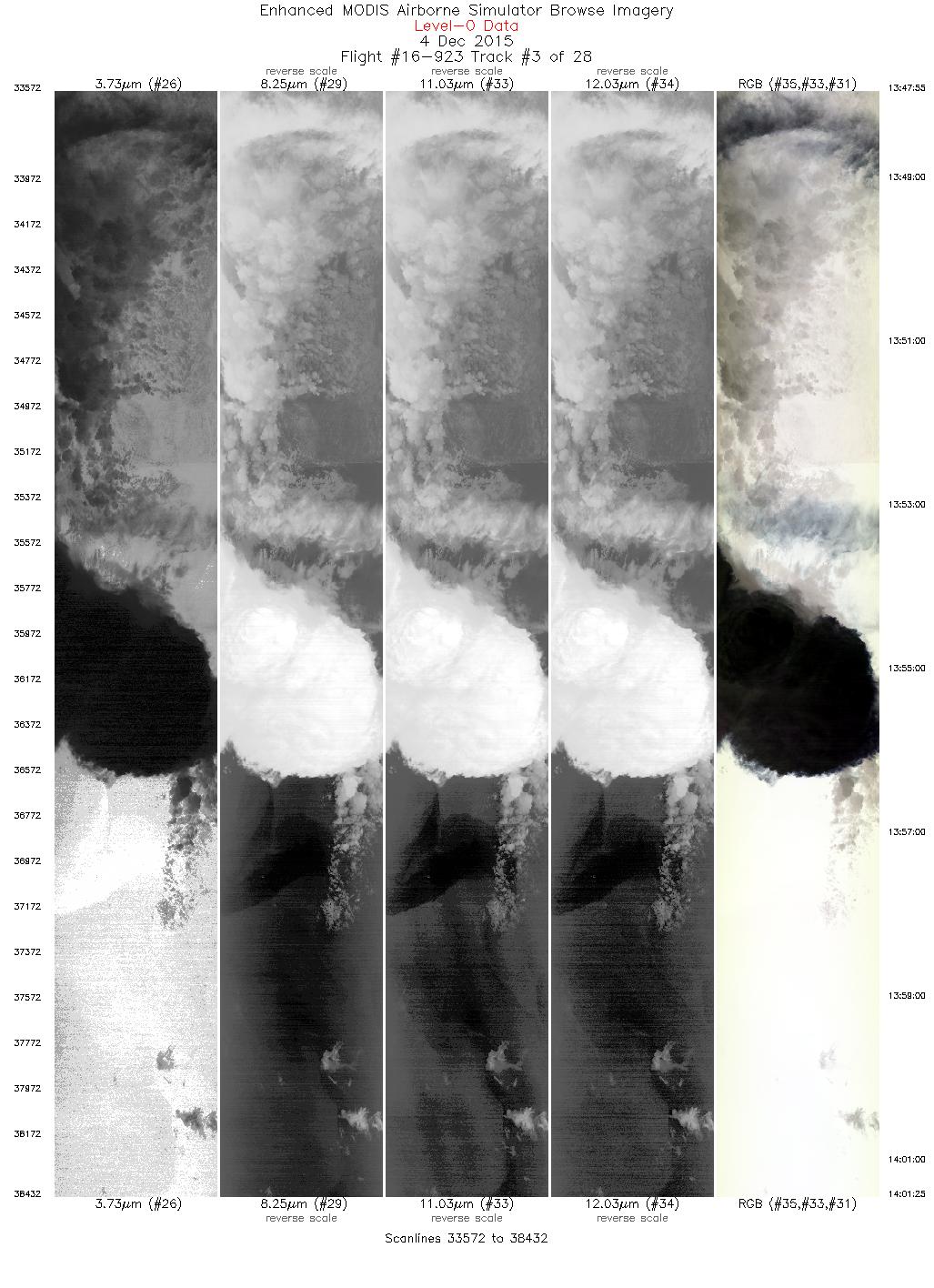
| 3 |
13:47 - 14:01 |
254.3 |
47.356 - 47.138 |
123.552 - 125.505 |
4861 |
19215 |
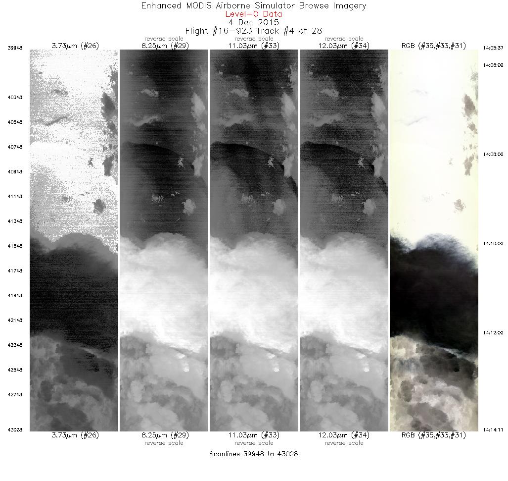
| 4 |
14:05 - 14:14 |
92.0 |
47.480 - 47.474 |
125.435 - 123.875 |
3081 |
19285 |
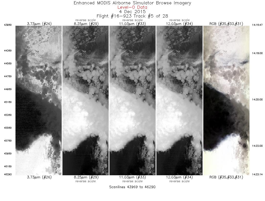
| 5 |
14:16 - 14:23 |
267.8 |
47.280 - 47.277 |
123.827 - 124.775 |
2322 |
19405 |
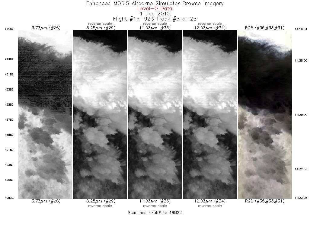
| 6 |
14:26 - 14:33 |
91.7 |
47.482 - 47.471 |
124.638 - 123.514 |
2234 |
19443 |
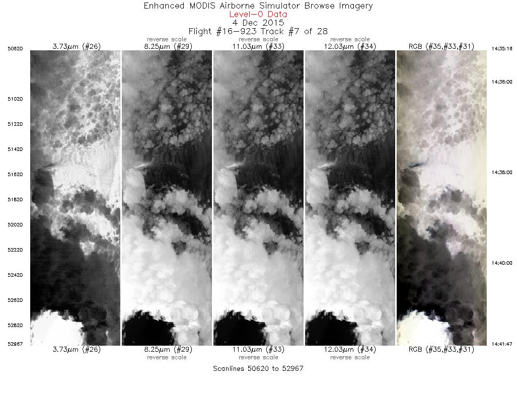
| 7 |
14:35 - 14:41 |
266.0 |
47.311 - 47.263 |
123.495 - 124.463 |
2348 |
19502 |
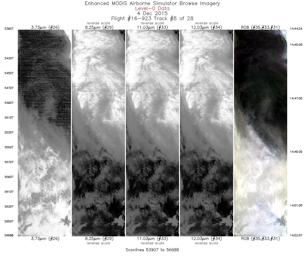
| 8 |
14:44 - 14:52 |
43.4 |
47.440 - 48.049 |
124.377 - 123.370 |
2782 |
19391 |
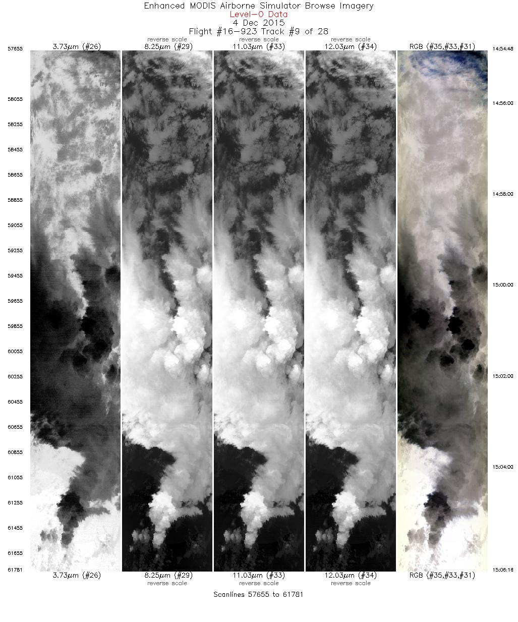
| 9 |
14:54 - 15:06 |
230.9 |
47.919 - 47.118 |
123.143 - 124.471 |
4127 |
19521 |
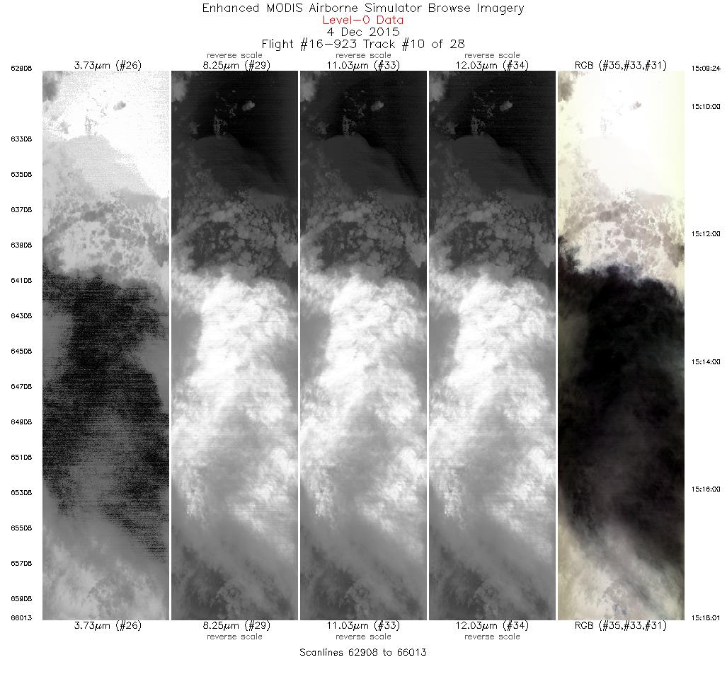
| 10 |
15:09 - 15:18 |
42.8 |
47.298 - 47.964 |
124.611 - 123.516 |
3106 |
19640 |
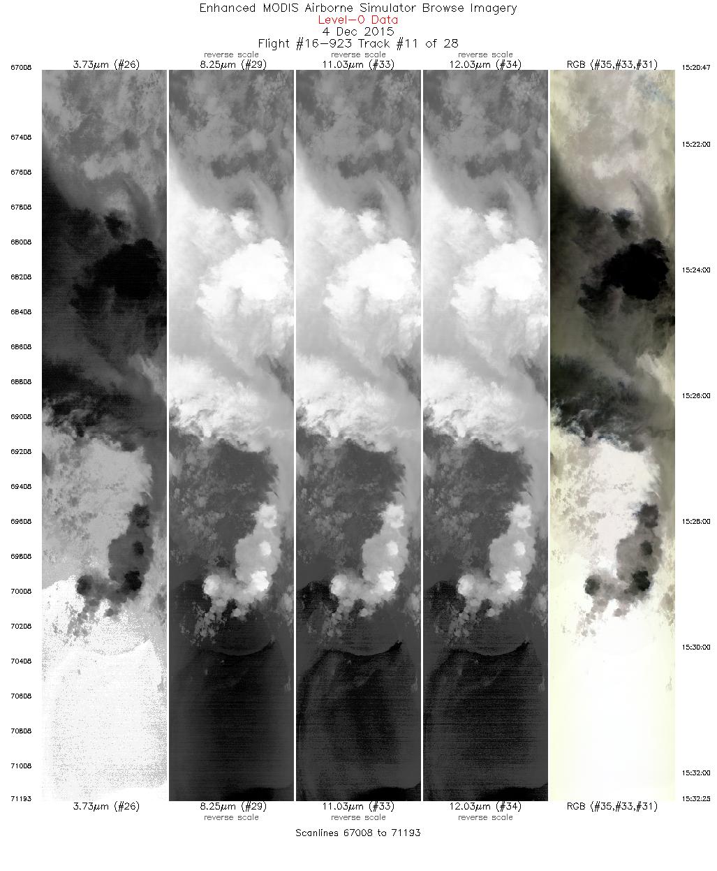
| 11 |
15:20 - 15:32 |
231.0 |
47.823 - 46.991 |
123.302 - 124.676 |
4186 |
19659 |
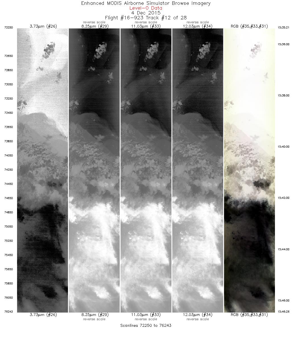
| 12 |
15:35 - 15:46 |
46.9 |
47.132 - 47.981 |
124.889 - 123.486 |
3994 |
19714 |
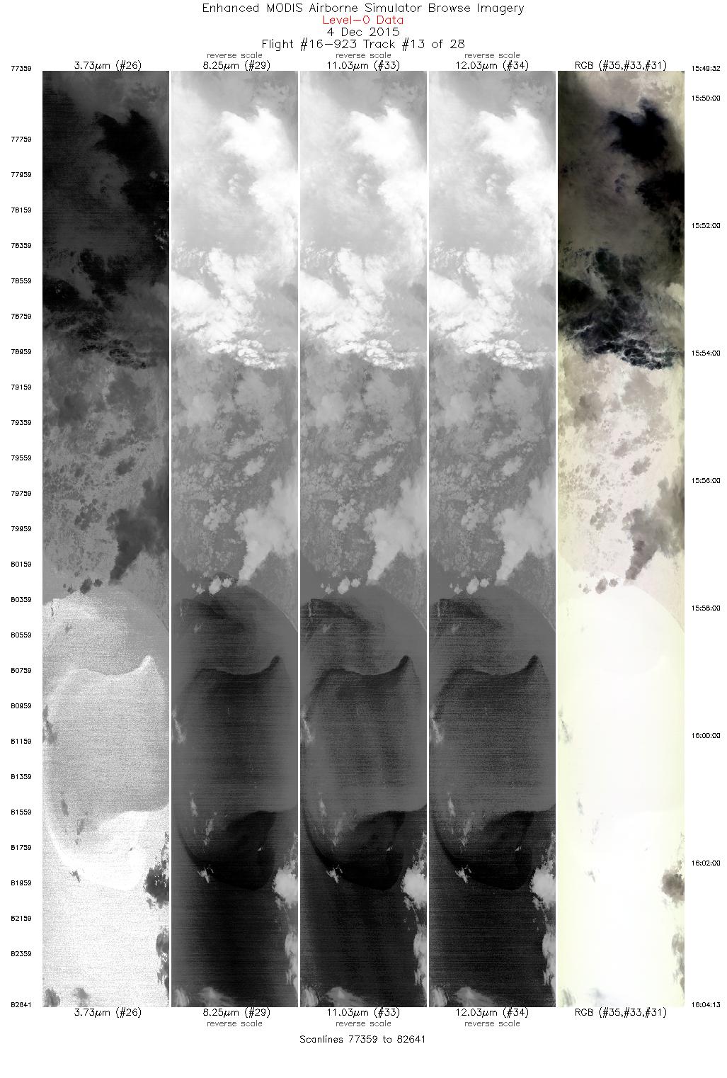
| 13 |
15:49 - 16:04 |
229.9 |
47.830 - 46.792 |
123.288 - 124.993 |
5283 |
19550 |
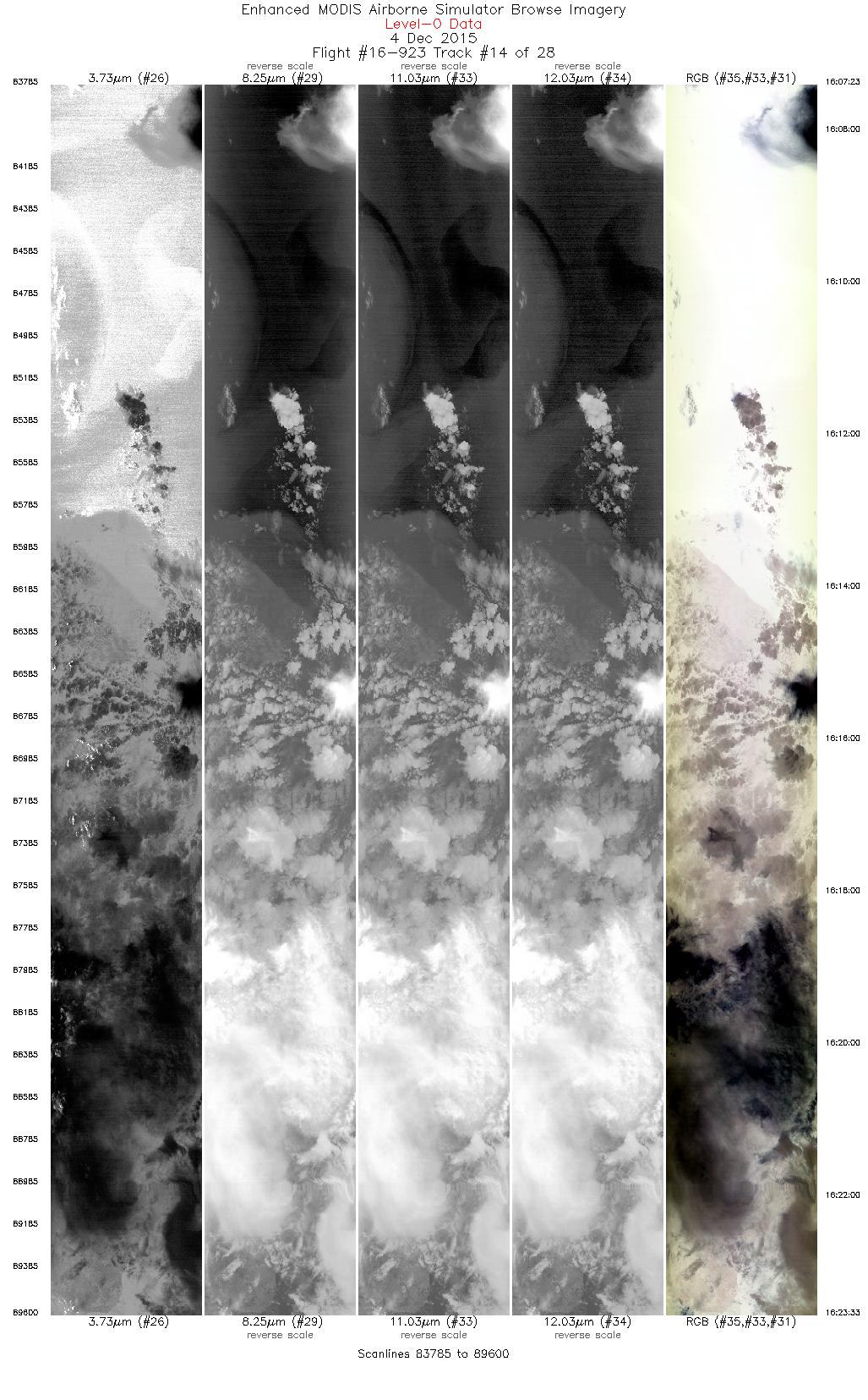
| 14 |
16:07 - 16:23 |
43.0 |
46.956 - 48.174 |
125.156 - 123.159 |
5816 |
19459 |
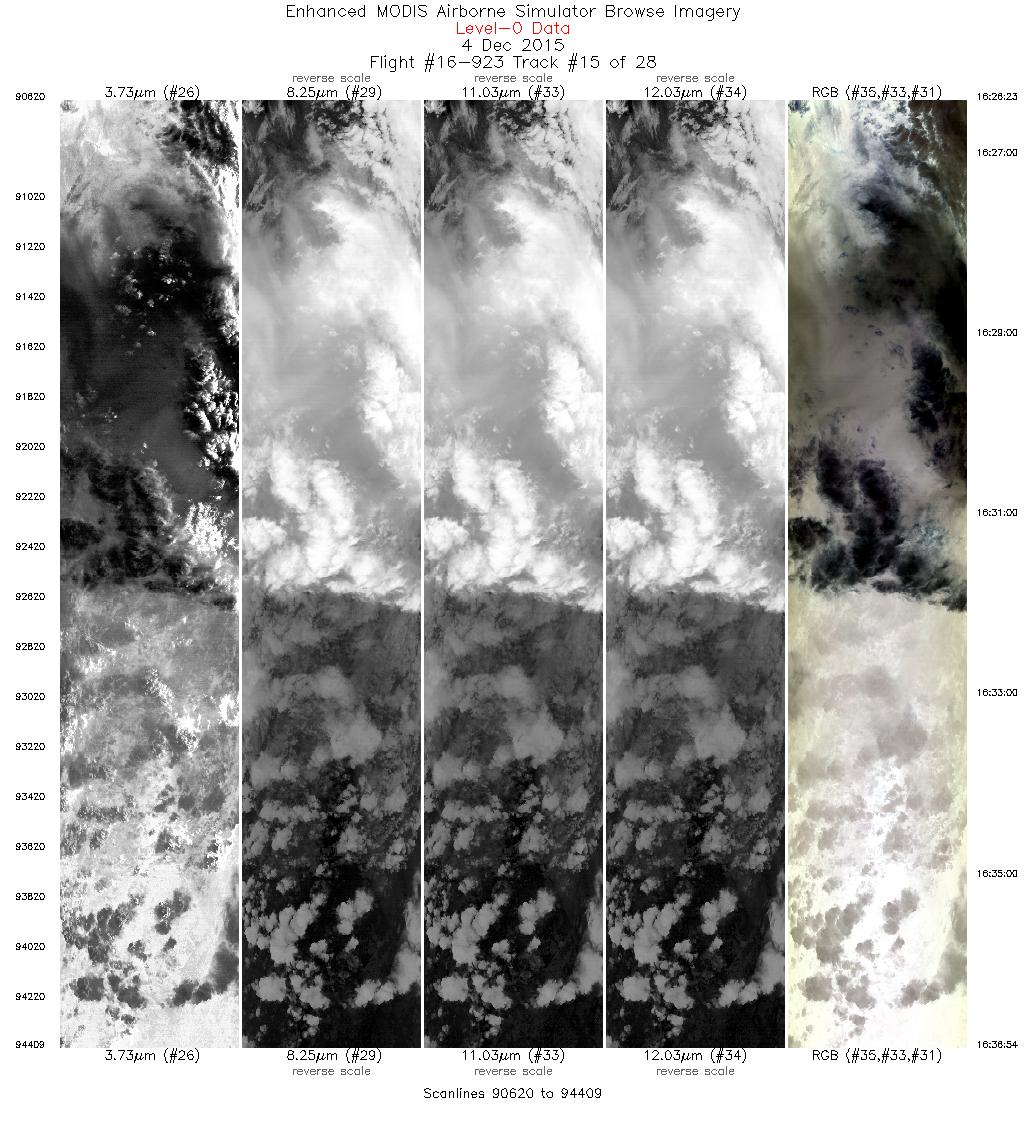
| 15 |
16:26 - 16:36 |
231.2 |
48.050 - 47.321 |
122.905 - 124.140 |
3790 |
19720 |
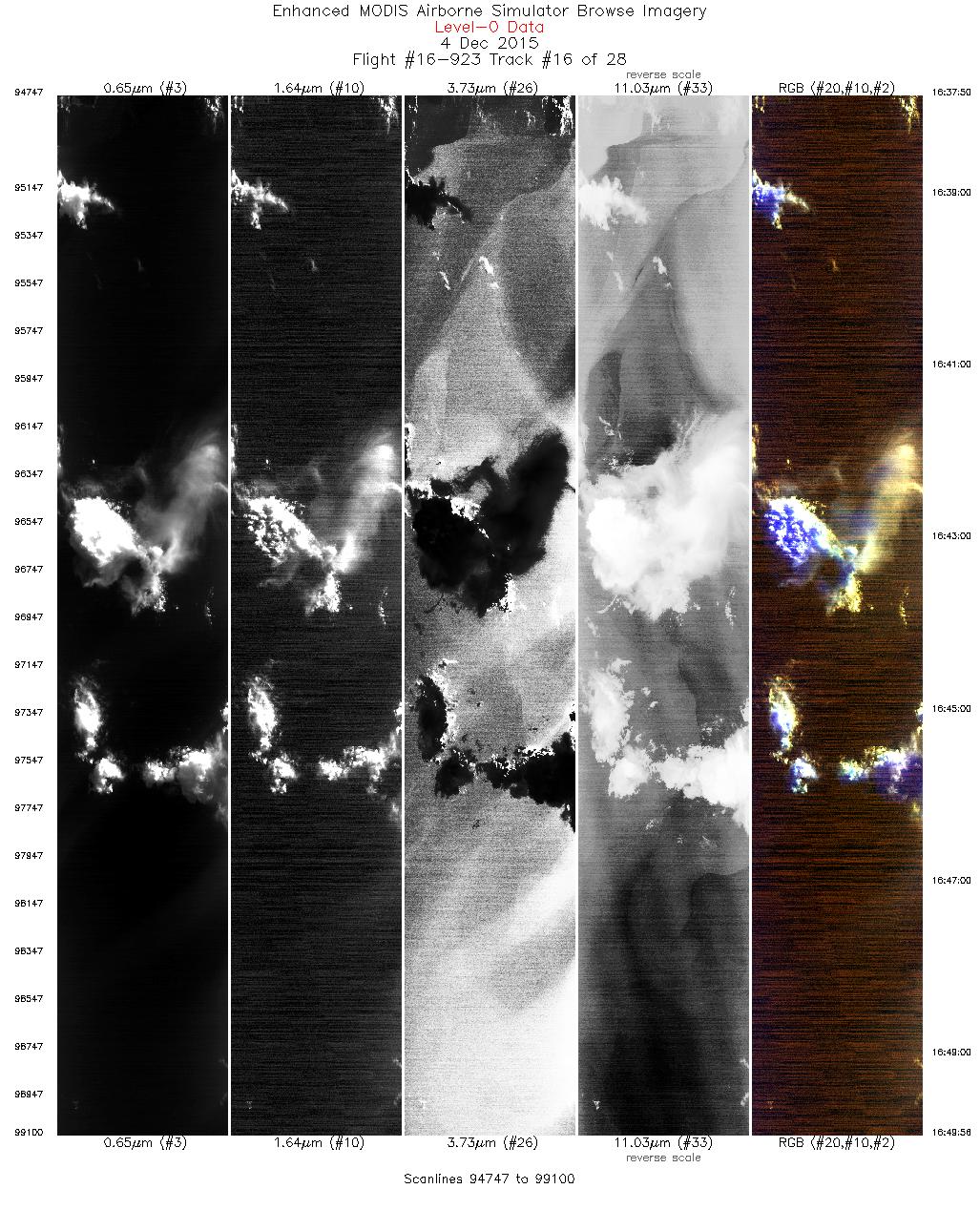
| 16 |
16:37 - 16:49 |
256.3 |
47.276 - 47.038 |
124.265 - 126.125 |
4354 |
19936 |
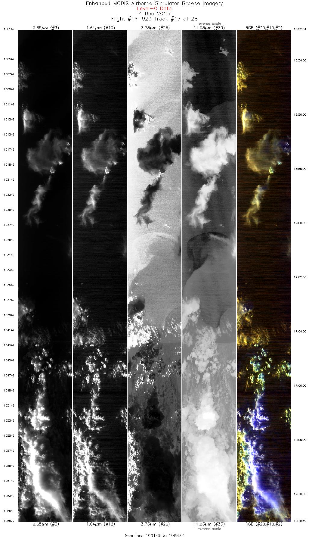
| 17 |
16:52 - 17:10 |
81.6 |
46.845 - 47.191 |
126.049 - 123.153 |
6529 |
19794 |
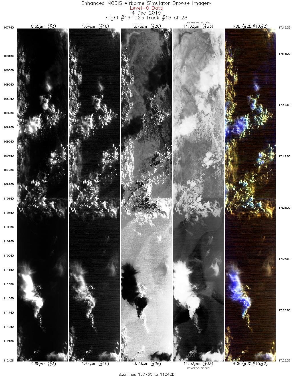
| 18 |
17:13 - 17:26 |
262.4 |
47.383 - 47.155 |
123.186 - 125.226 |
4669 |
19693 |
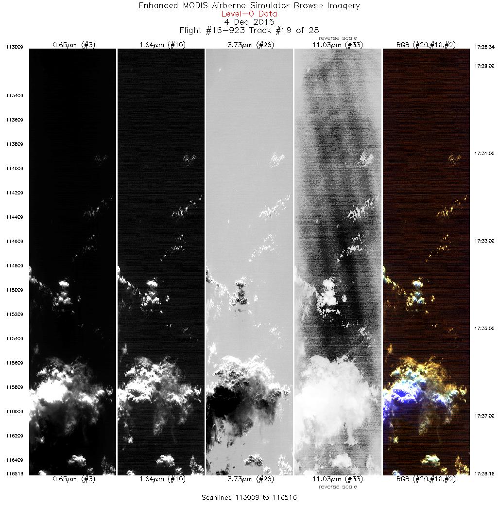
| 19 |
17:28 - 17:38 |
323.6 |
47.252 - 48.144 |
125.411 - 126.220 |
3508 |
19795 |
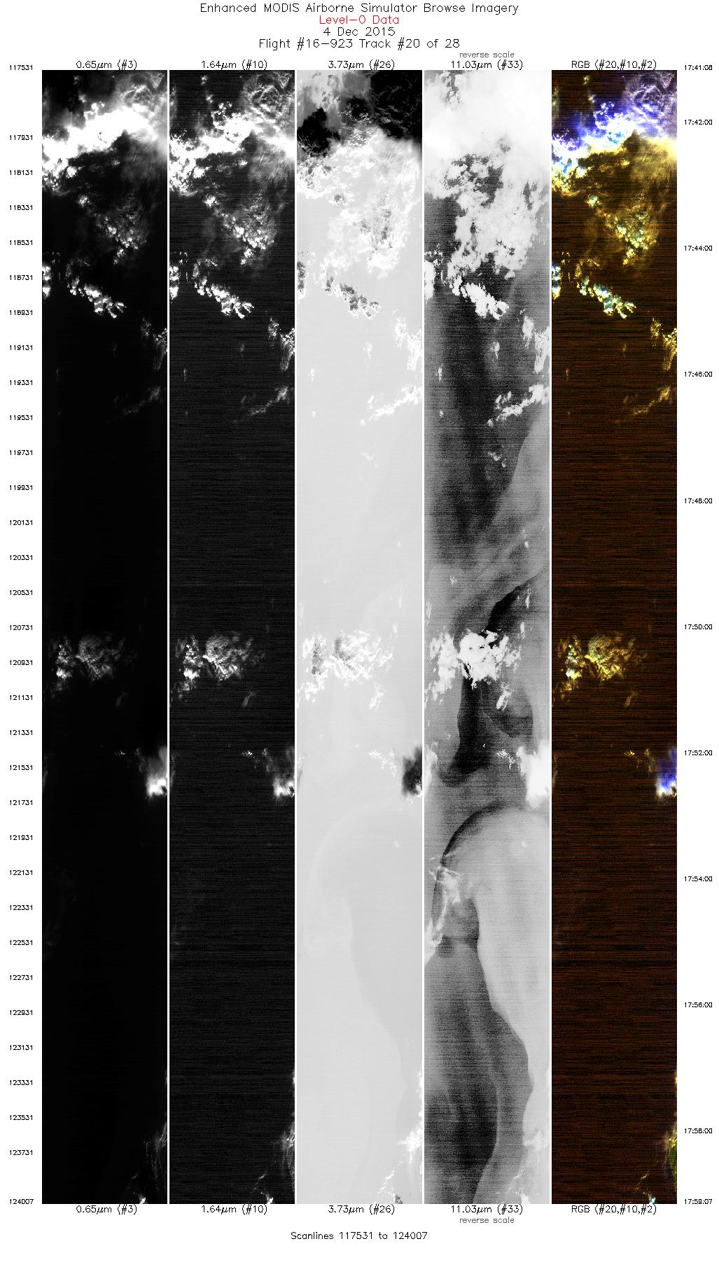
| 20 |
17:41 - 17:59 |
146.2 |
48.190 - 46.611 |
125.955 - 124.191 |
6477 |
19953 |
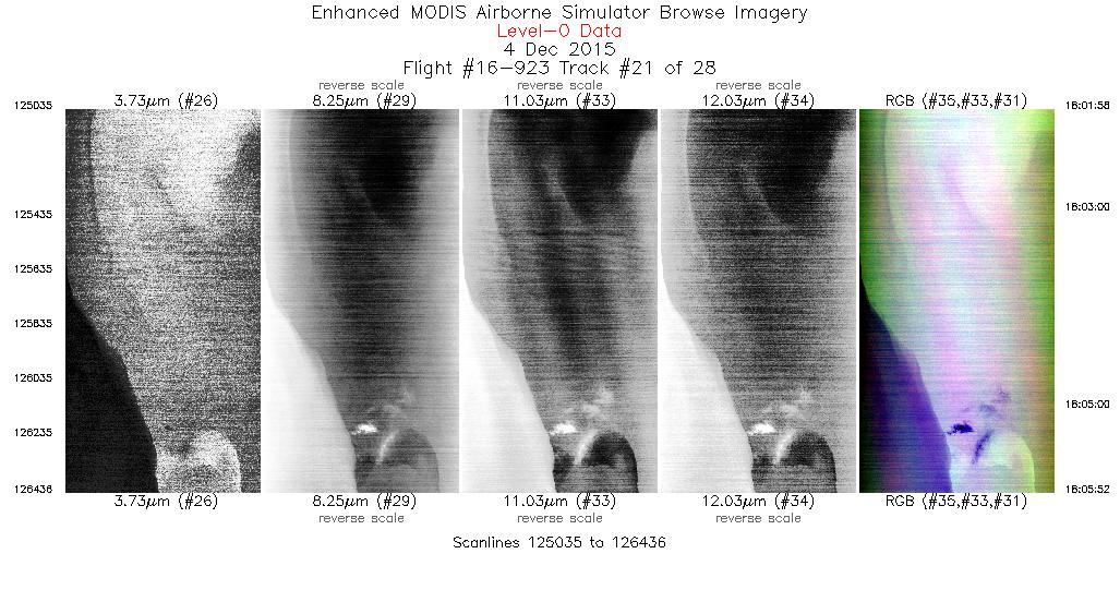
| 21 |
18:01 - 18:05 |
330.6 |
46.613 - 46.981 |
124.379 - 124.639 |
1402 |
19928 |
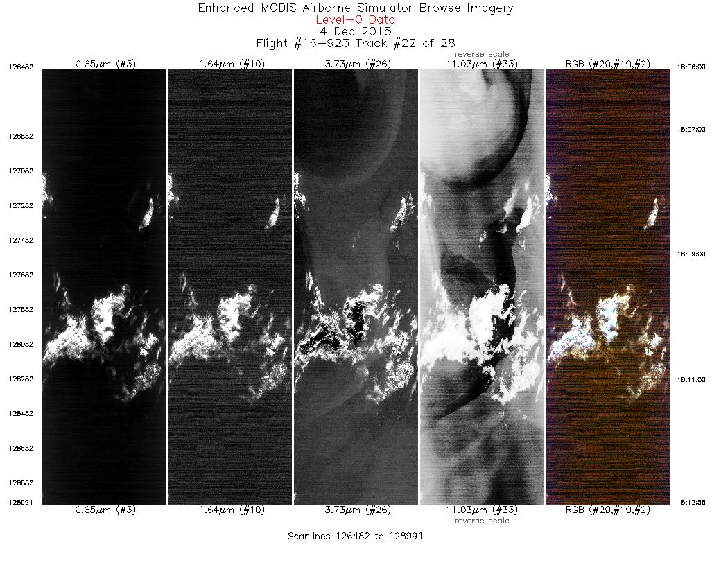
| 22 |
18:06 - 18:12 |
325.4 |
46.993 - 47.634 |
124.648 - 125.225 |
2510 |
19915 |
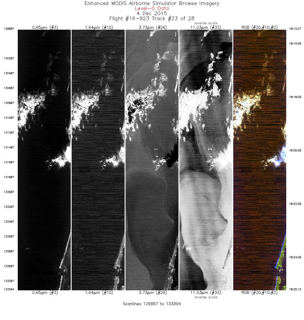
| 23 |
18:15 - 18:25 |
153.8 |
47.740 - 46.817 |
125.025 - 124.224 |
3508 |
19913 |
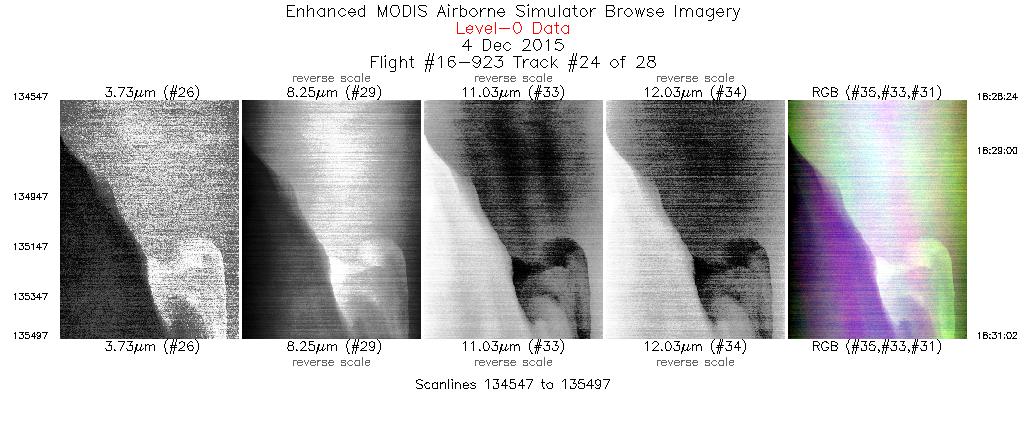
| 24 |
18:28 - 18:31 |
335.8 |
46.764 - 47.042 |
124.509 - 124.660 |
951 |
19619 |
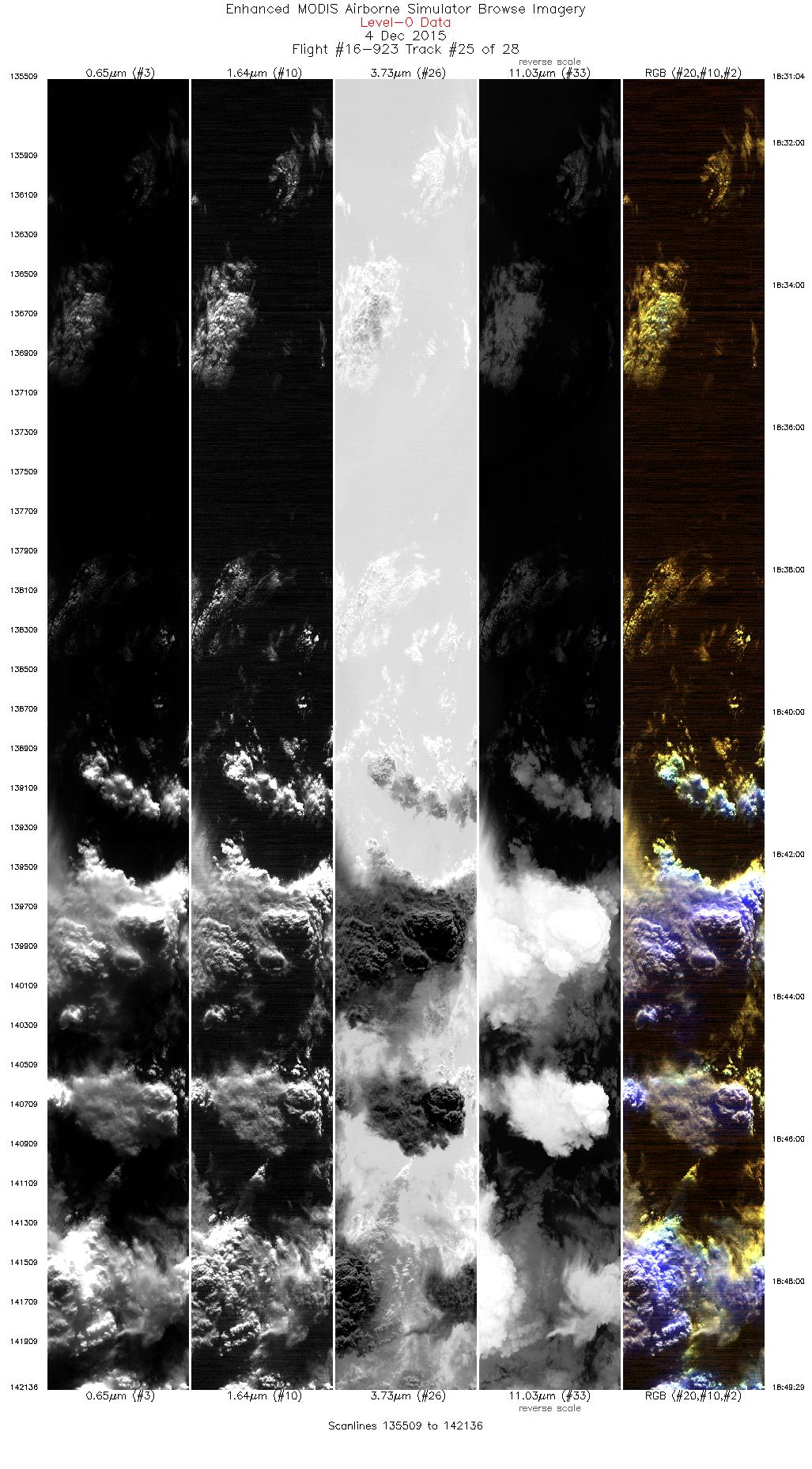
| 25 |
18:31 - 18:49 |
333.3 |
47.046 - 48.919 |
124.661 - 125.862 |
6628 |
19755 |
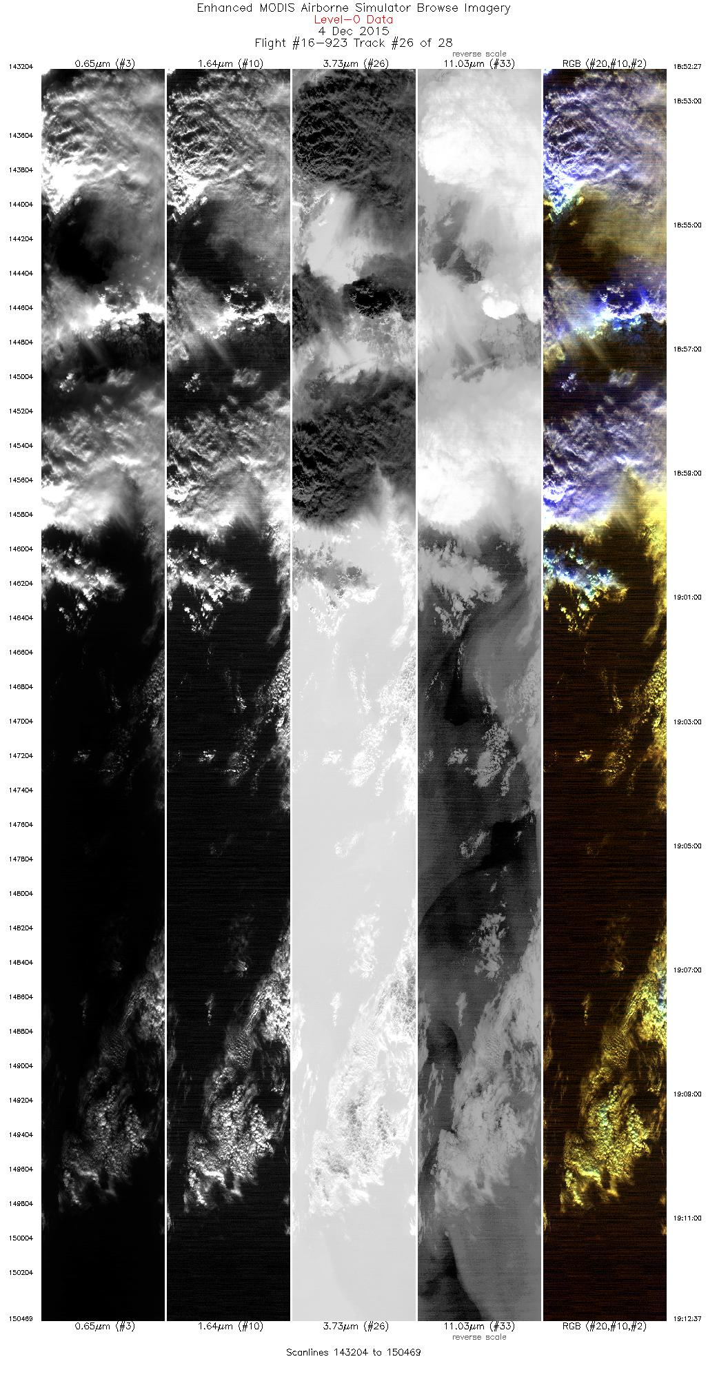
| 26 |
18:52 - 19:12 |
164.8 |
48.993 - 46.902 |
125.578 - 124.507 |
7266 |
19773 |
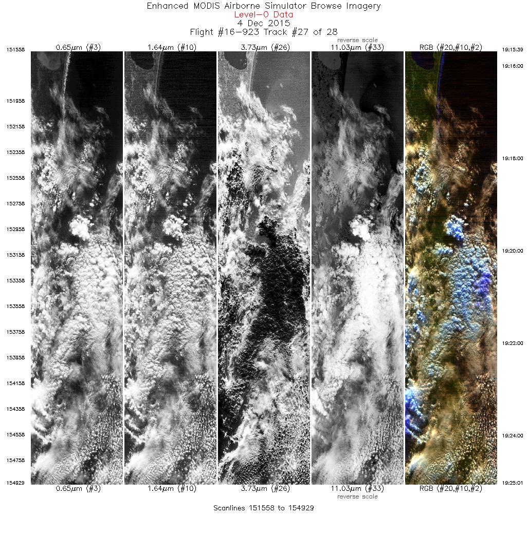
| 27 |
19:15 - 19:25 |
345.1 |
46.977 - 48.021 |
124.216 - 124.476 |
3372 |
19804 |
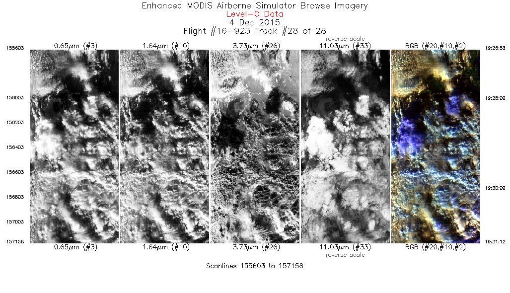
| 28 |
19:26 - 19:31 |
140.5 |
48.115 - 47.754 |
124.280 - 123.811 |
1556 |
17971 |
|


