Flight: 16-920
Date: 24 Nov 2015
Location: Washington / Pacific Ocean
Deployment: RADEX (OLYMPEX)
Principal Investigators: Dr. Steven Platnick (NASA GSFC)
Configuration: 38 Channel
Additional Sensors: AirMSPI-1 / AMPR / CPL / CRS / HiWRAP
|
Data Evaluation
Overall quality is fair
|
Processing Information
Level-1B Data in HDF format is available
Flight Line Summary
Spectral Band Configuration
Spectral Response Function Table
Spectral Response Function (text)
|
Browse Imagery
Flight Tracks: 27
Scanlines: 86486
|
Browse Imagery Table
|
Click a Flight Track number to view a quicklook image
Lat/Lon ranges are for the BEG-END scanline nadir pixels
|
Flight
Track |
Time Span
(UTC) |
Heading
(Deg) |
Lat Range
(Deg N) |
Lon Range
(Deg W) |
Length
(Scanlines) |
Altitude
(Meters) |
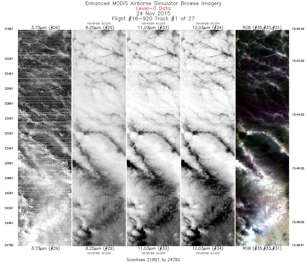
| 1 |
15:40 - 15:48 |
92.5 |
48.002 - 47.929 |
124.038 - 122.673 |
2892 |
18899 |
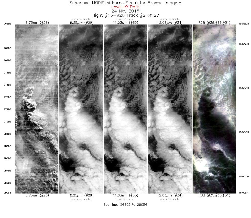
| 2 |
15:53 - 16:00 |
276.2 |
48.016 - 48.084 |
122.445 - 123.659 |
2755 |
19463 |
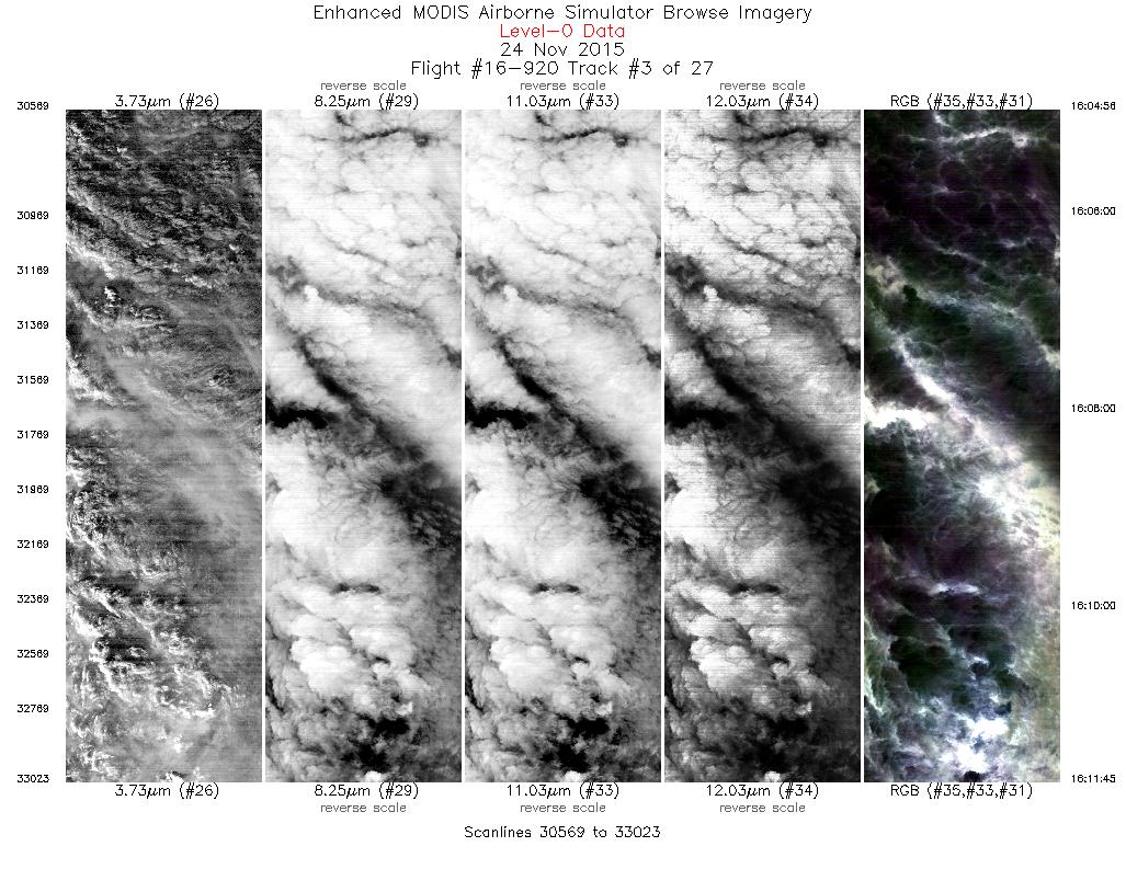
| 3 |
16:04 - 16:11 |
94.1 |
47.989 - 47.925 |
123.816 - 122.633 |
2455 |
19664 |
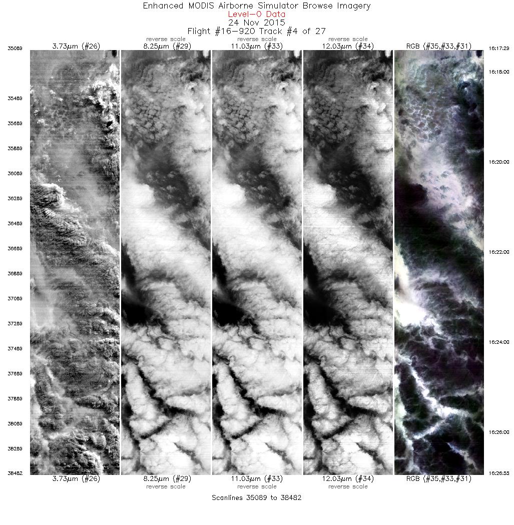
| 4 |
16:17 - 16:26 |
276.4 |
48.029 - 48.111 |
122.625 - 124.136 |
3394 |
19613 |
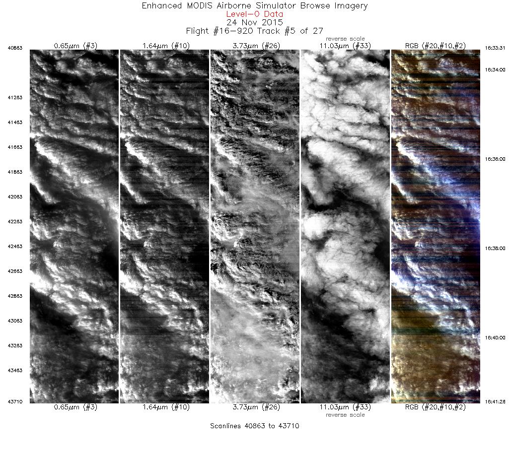
| 5 |
16:33 - 16:41 |
93.5 |
48.001 - 47.927 |
124.000 - 122.618 |
2848 |
19596 |
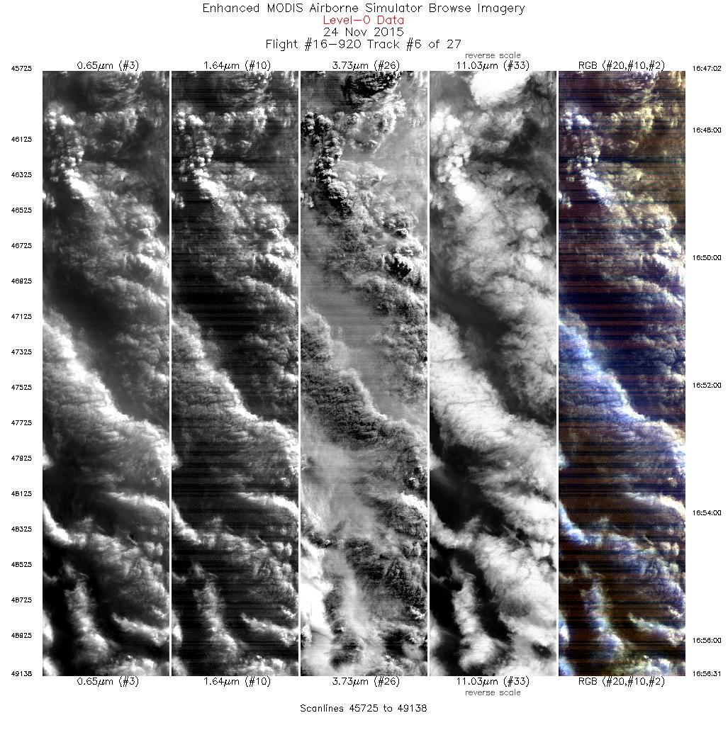
| 6 |
16:47 - 16:56 |
274.7 |
48.024 - 48.109 |
122.566 - 124.121 |
3414 |
19615 |
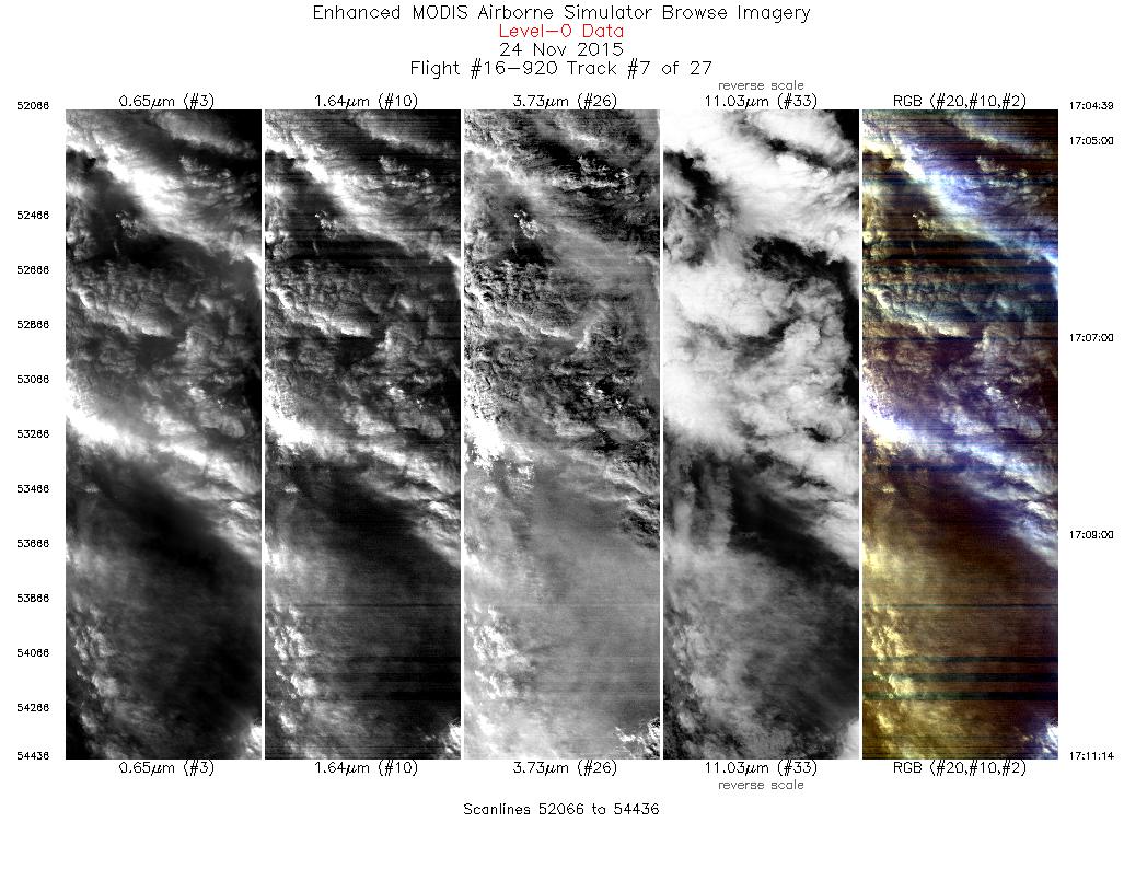
| 7 |
17:04 - 17:11 |
91.1 |
47.982 - 47.925 |
123.775 - 122.616 |
2371 |
19656 |
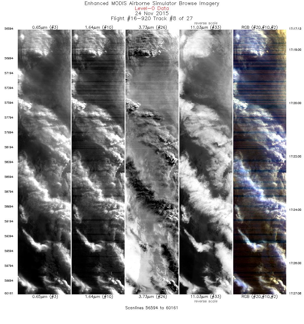
| 8 |
17:17 - 17:27 |
275.0 |
48.021 - 48.110 |
122.524 - 124.164 |
3568 |
19715 |
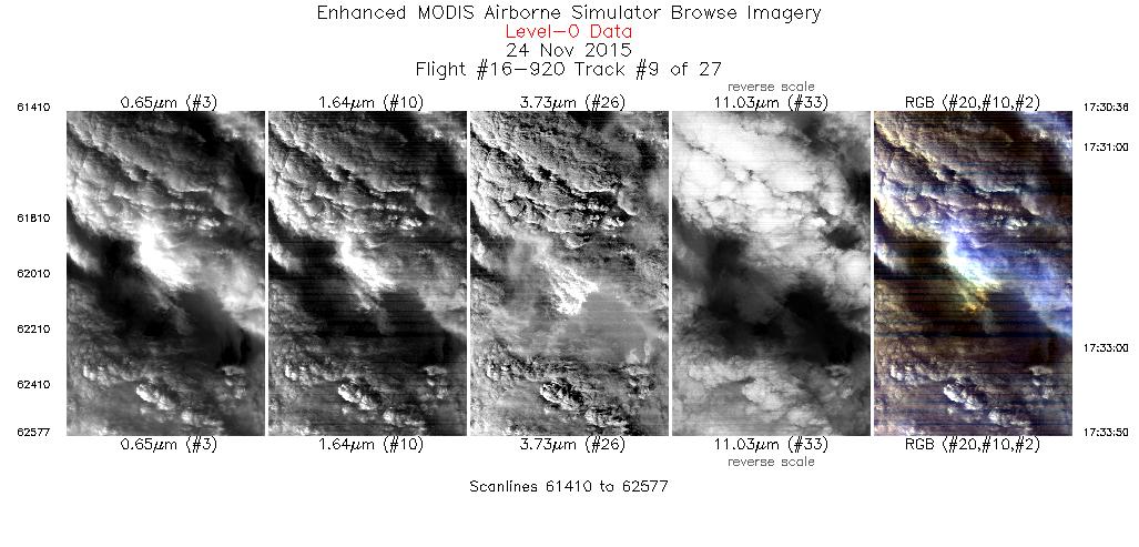
| 9 |
17:30 - 17:33 |
93.9 |
47.904 - 47.870 |
124.040 - 123.470 |
1168 |
19718 |
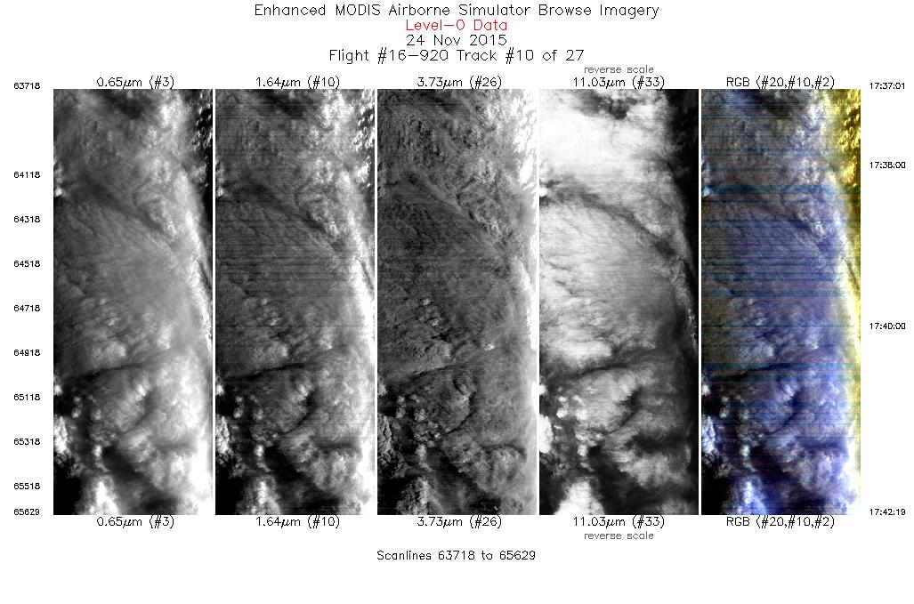
| 10 |
17:37 - 17:42 |
229.7 |
47.652 - 47.237 |
123.603 - 124.266 |
1912 |
19724 |
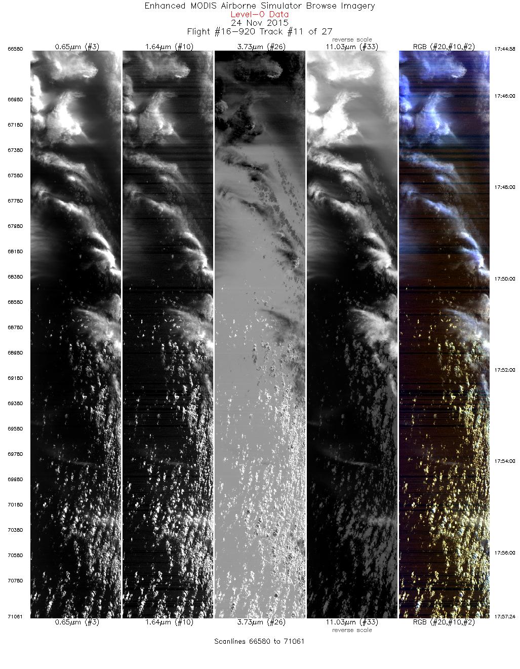
| 11 |
17:44 - 17:57 |
270.3 |
47.280 - 47.274 |
124.651 - 126.711 |
4482 |
19724 |
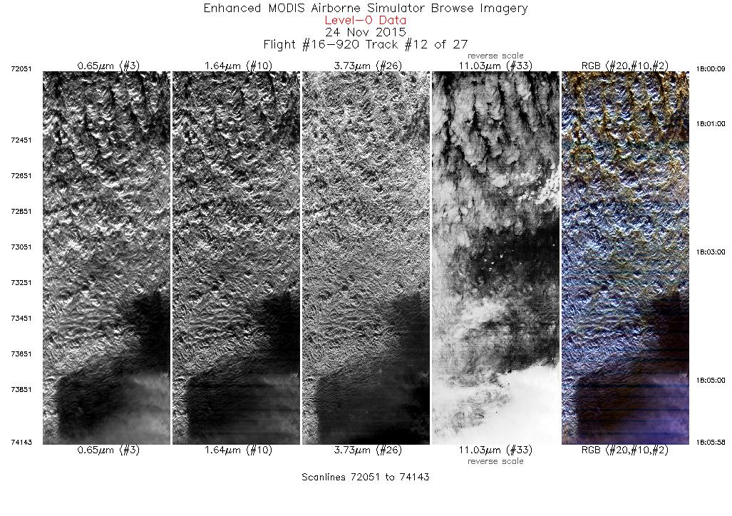
| 12 |
18:00 - 18:05 |
150.0 |
47.024 - 46.438 |
126.804 - 126.285 |
2093 |
19766 |
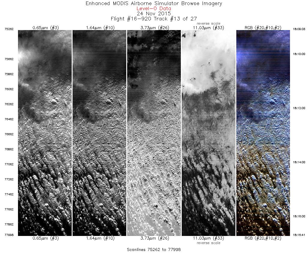
| 13 |
18:09 - 18:16 |
326.9 |
46.549 - 47.287 |
126.040 - 126.692 |
2737 |
19843 |
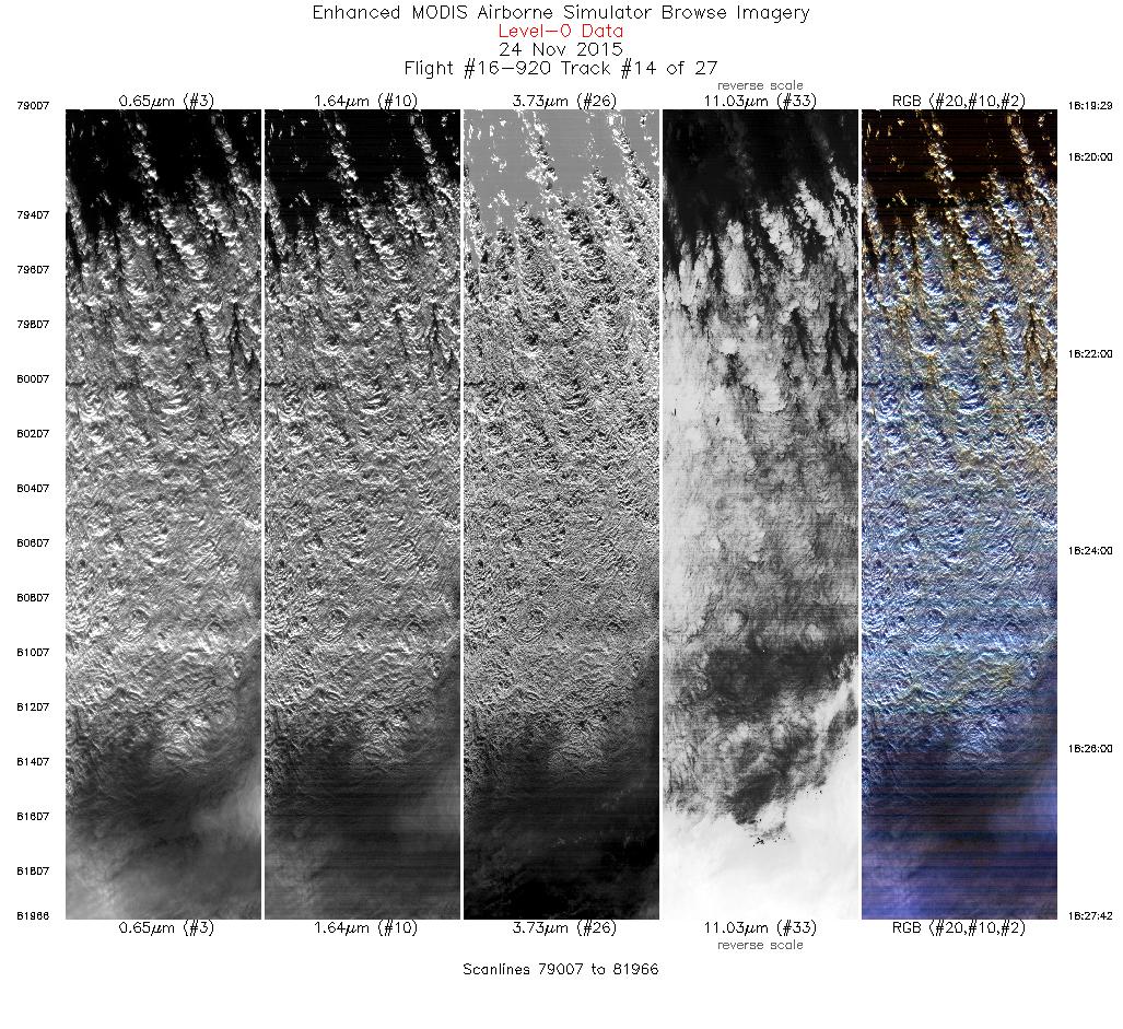
| 14 |
18:19 - 18:27 |
147.9 |
47.188 - 46.375 |
126.955 - 126.232 |
2960 |
19890 |
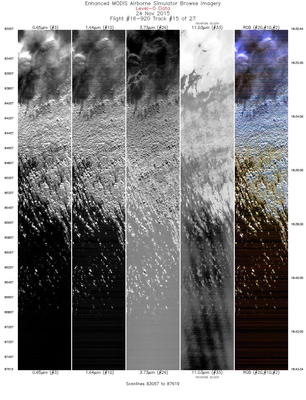
| 15 |
18:30 - 18:43 |
328.1 |
46.502 - 47.720 |
126.006 - 127.085 |
4563 |
19863 |
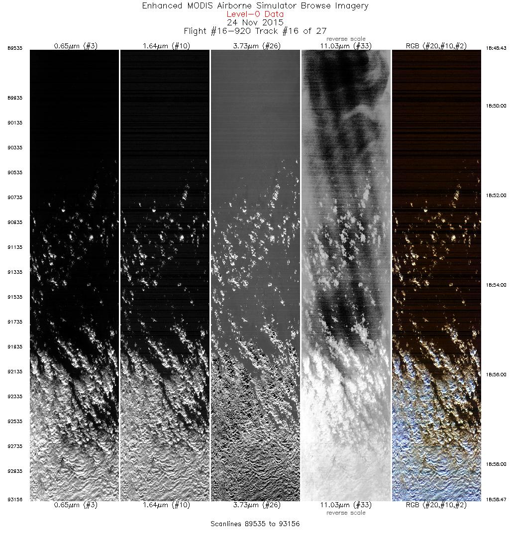
| 16 |
18:48 - 18:58 |
157.2 |
47.882 - 46.817 |
126.951 - 126.278 |
3622 |
19856 |
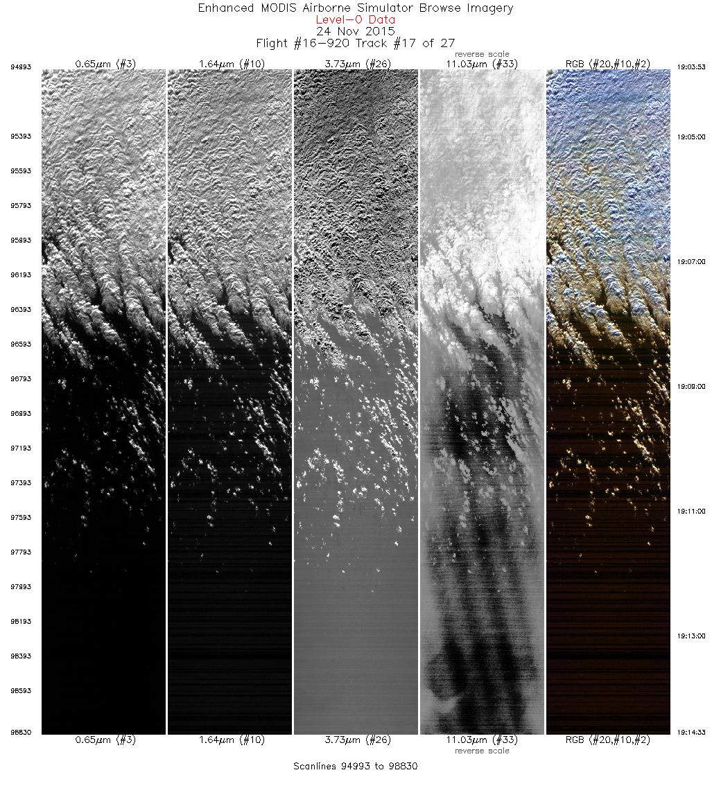
| 17 |
19:03 - 19:14 |
338.2 |
46.648 - 47.773 |
126.351 - 126.950 |
3838 |
19857 |
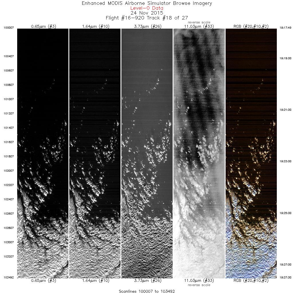
| 18 |
19:17 - 19:27 |
162.1 |
47.806 - 46.746 |
126.632 - 126.125 |
3486 |
19853 |
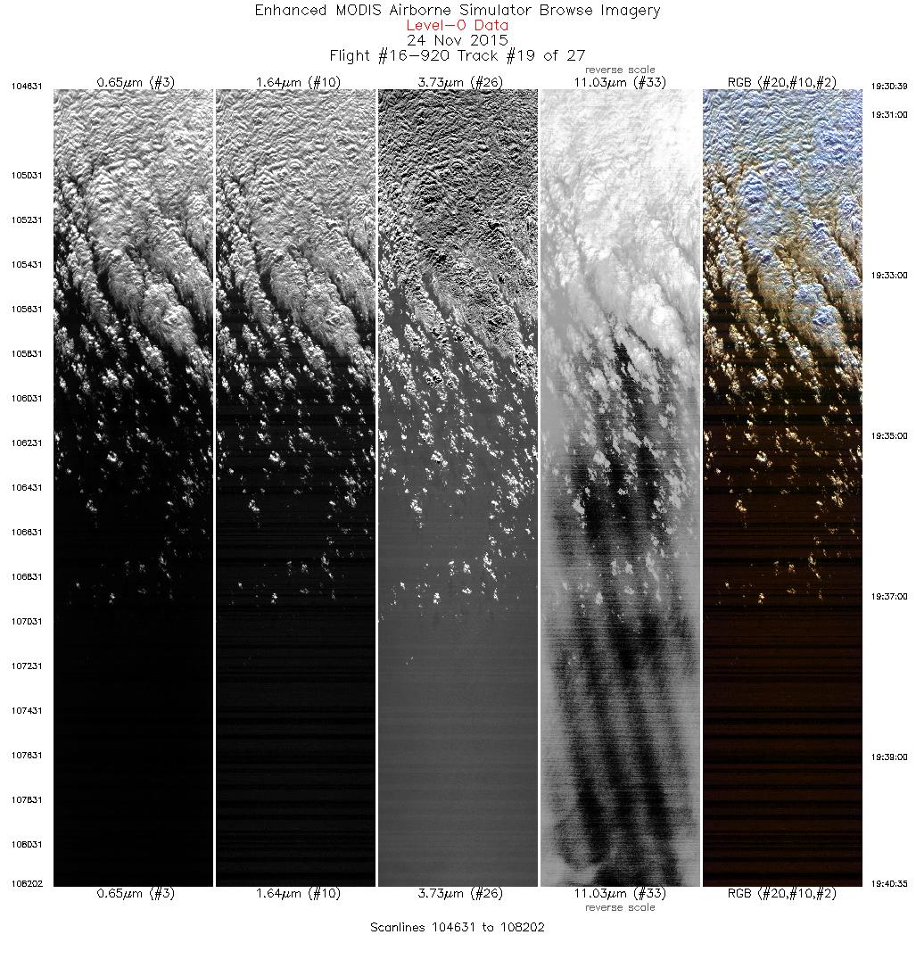
| 19 |
19:30 - 19:40 |
338.5 |
46.692 - 47.749 |
126.417 - 126.903 |
3572 |
19864 |
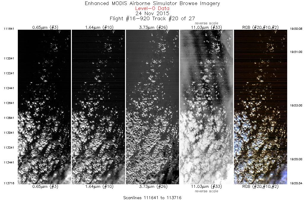
| 20 |
19:50 - 19:55 |
171.1 |
47.482 - 46.843 |
125.655 - 125.500 |
2076 |
19849 |
| 21 |
19:59 - 20:09 |
355.8 |
46.848 - 47.979 |
125.819 - 125.891 |
3559 |
19853 |
| 22 |
20:13 - 20:26 |
180.2 |
47.913 - 46.422 |
126.204 - 126.160 |
4795 |
19860 |
| 23 |
20:29 - 20:39 |
5.0 |
46.405 - 47.520 |
125.841 - 125.621 |
3498 |
19861 |
| 24 |
20:42 - 20:52 |
182.0 |
47.528 - 46.378 |
125.959 - 126.001 |
3675 |
19863 |
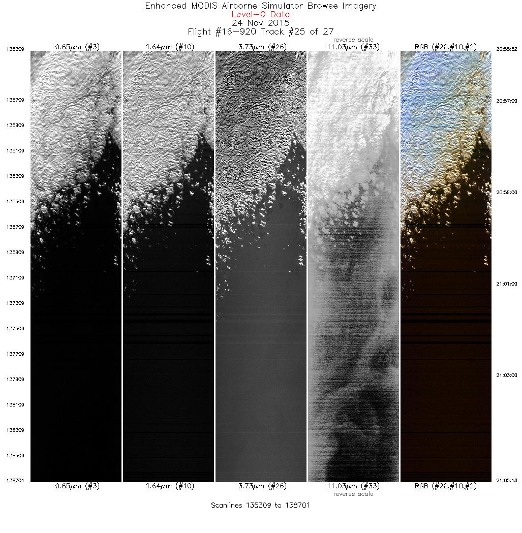
| 25 |
20:55 - 21:05 |
359.5 |
46.356 - 47.433 |
126.292 - 126.262 |
3393 |
19872 |
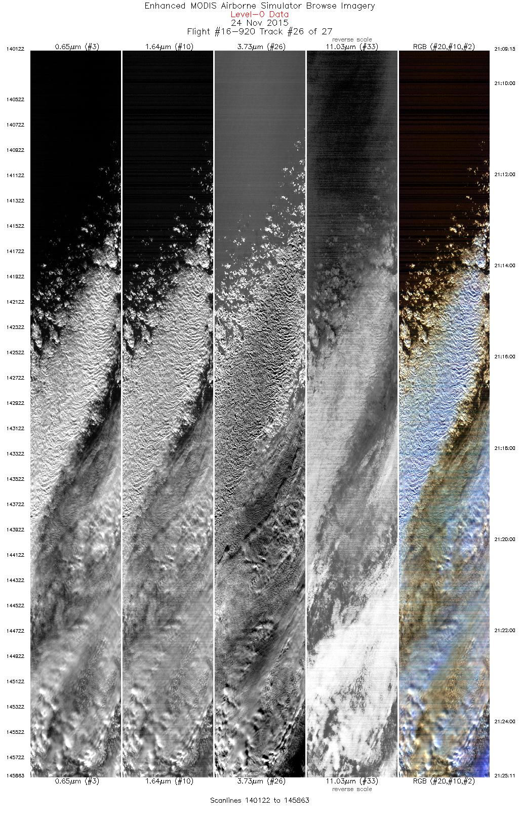
| 26 |
21:09 - 21:25 |
183.4 |
47.382 - 45.648 |
125.973 - 126.025 |
5742 |
19857 |
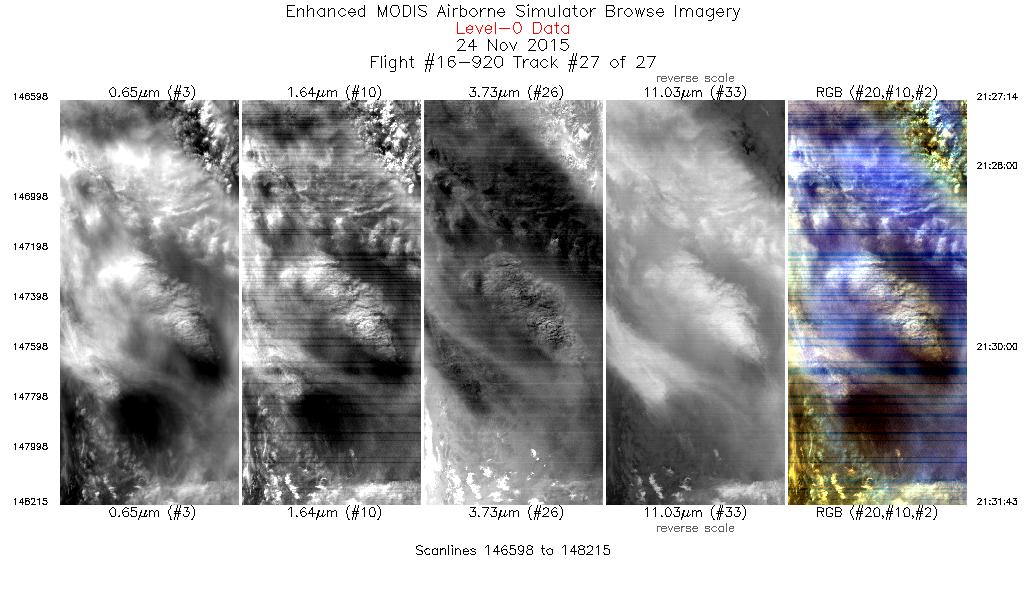
| 27 |
21:27 - 21:31 |
59.8 |
45.543 - 45.789 |
125.815 - 125.183 |
1618 |
19881 |
|


