


CAMPAIGN SUMMARY INFORMATION
|
RSL August 2004 Dates: 18 - 29 August, 2004 Location: Southern California / Nevada Principal Investigators: Peltzer / Abbott (JPL), Gillespie (UW) Aircraft: DOE 796 B-200 (DOE Remote Sensing Laboratory) Additional Sensors: None Objective: Southern California Fault mapping |
||||||||||||||||||||||||||||
|
Processing Information Flights Processed: 15 Total Flight Tracks: 182 Total Scanlines: 1,307,760 Level-1B Version: 1 Calibration Version: 1 Status: Level-1B Data available |
||||||||||||||||||||||||||||
|
MASTER Spectral Information Spectral Band Configuration Spectral Response Function Table |
||||||||||||||||||||||||||||
|
Related Web Sites NASA Airborne Science Program |
||||||||||||||||||||||||||||
|
||||||||||||||||||||||||||||
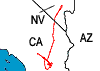 Flight: 04-006-01
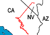 Flight: 04-006-02
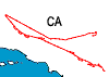 Flight: 04-006-03
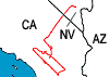 Flight: 04-006-04
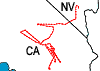 Flight: 04-006-05
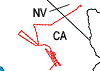 Flight: 04-006-06
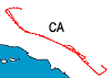 Flight: 04-006-07
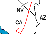 Flight: 04-006-08
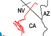 Flight: 04-006-09
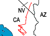 Flight: 04-006-10
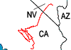 Flight: 04-006-11
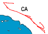 Flight: 04-006-12
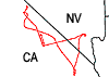 Flight: 04-006-13
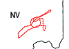 Flight: 04-006-14
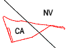 Flight: 04-006-15