


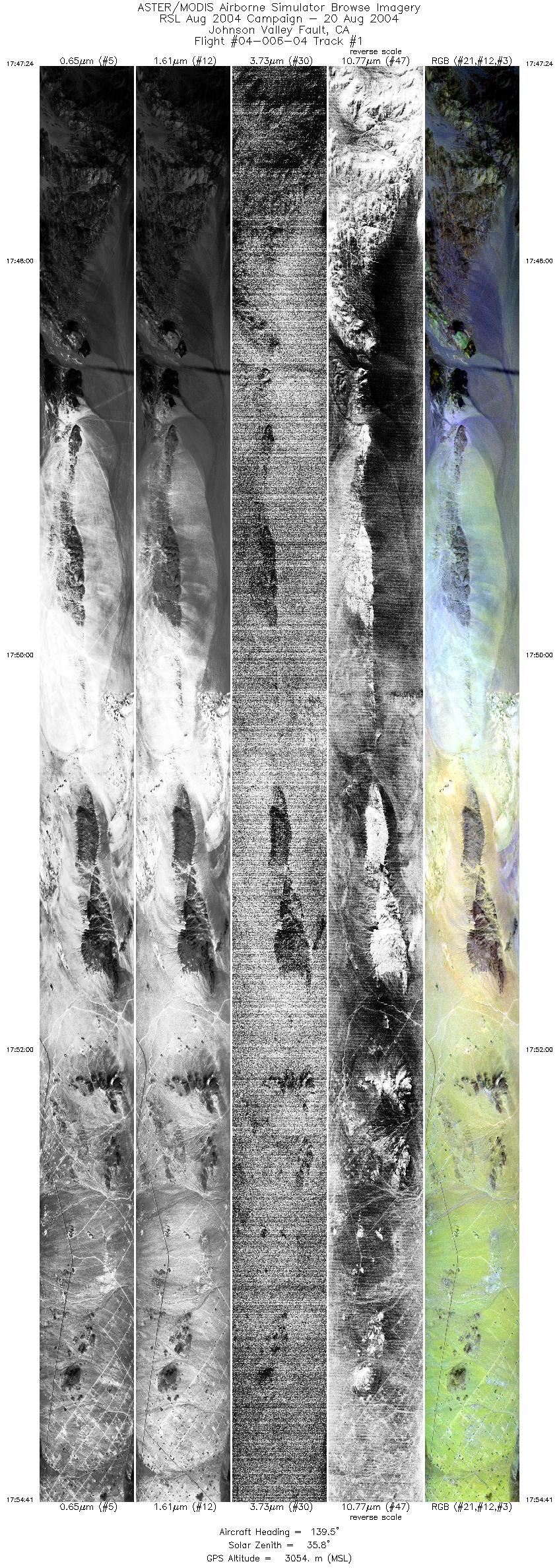
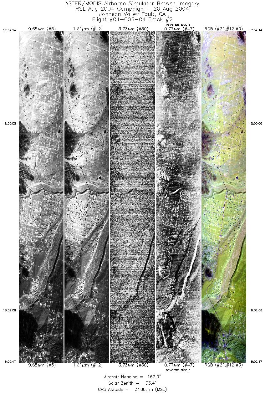
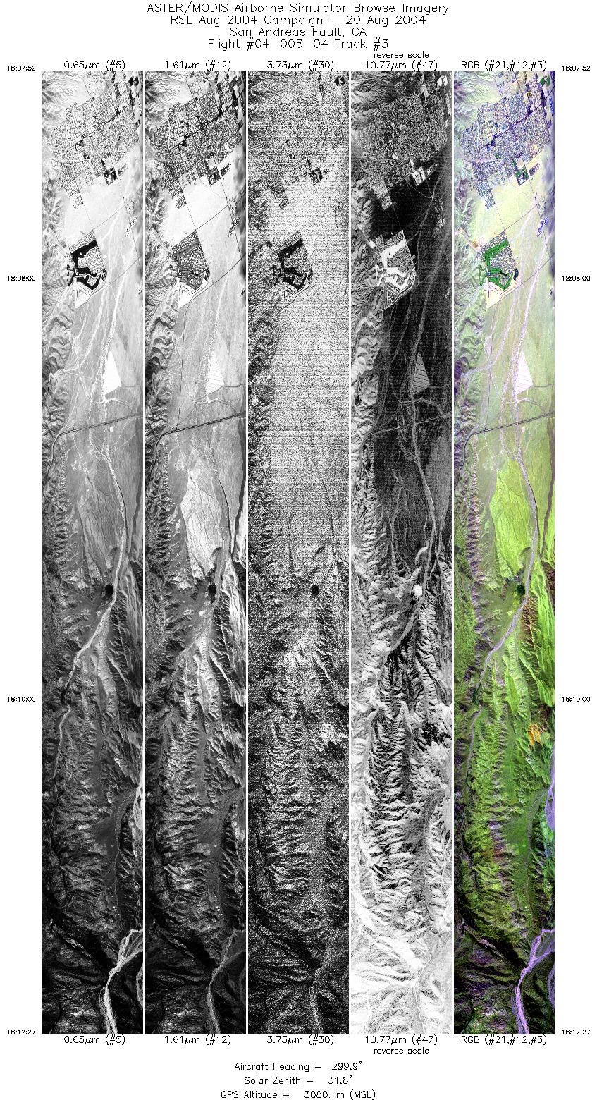
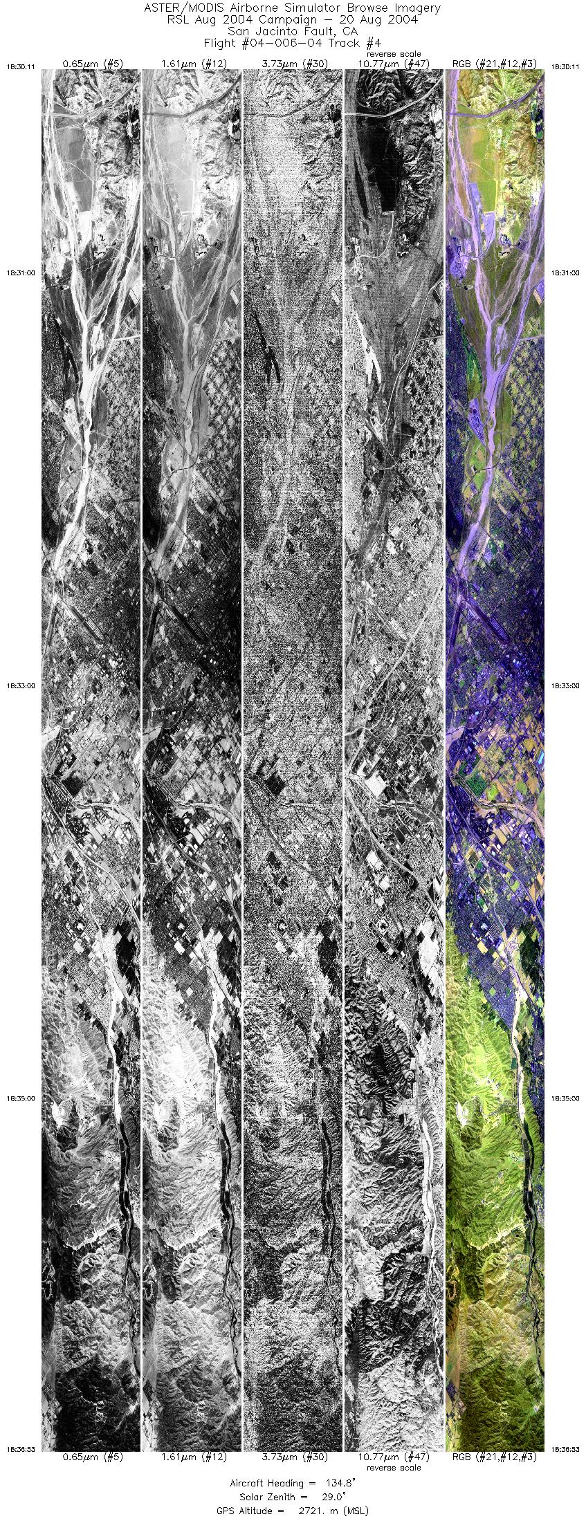
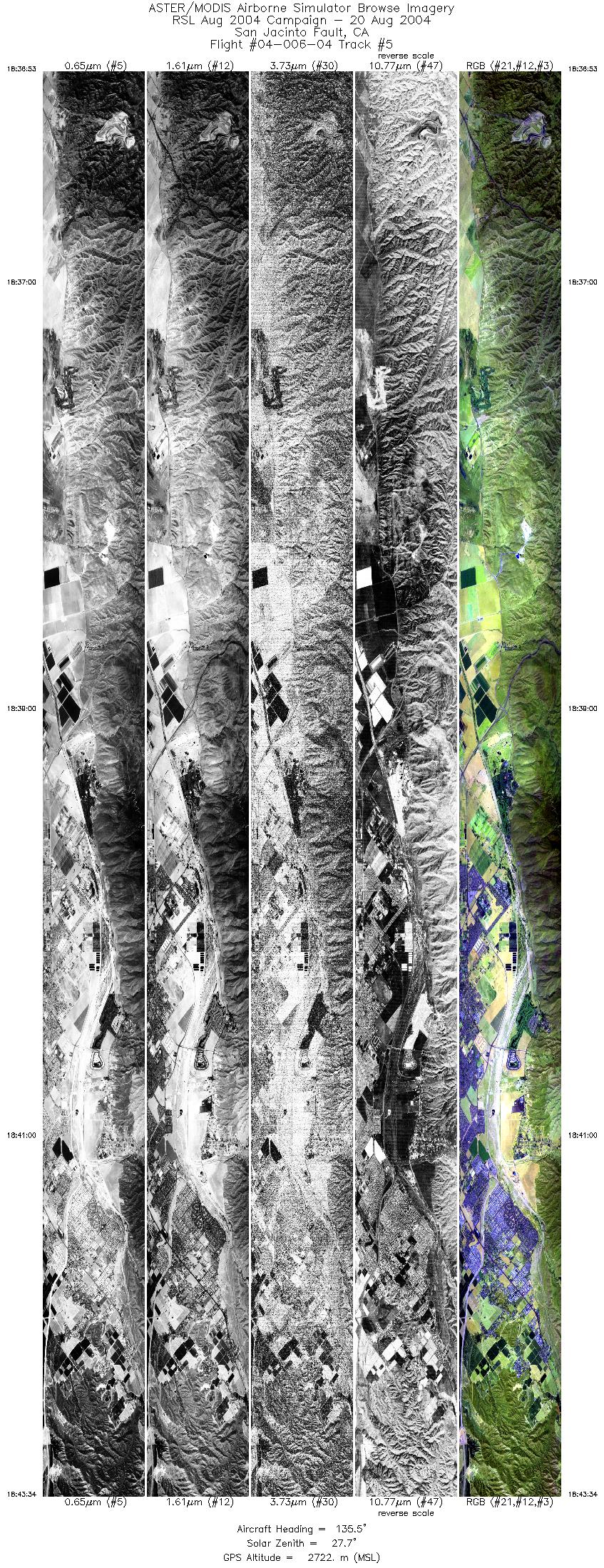
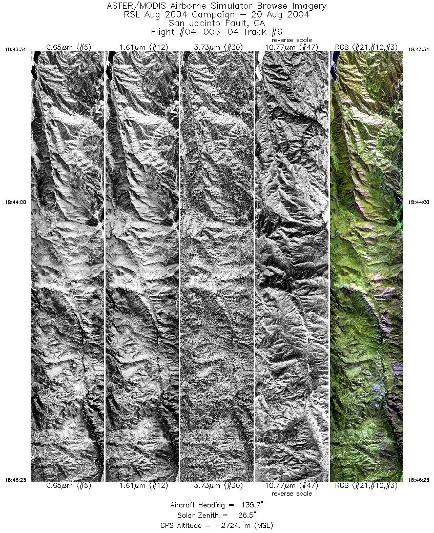
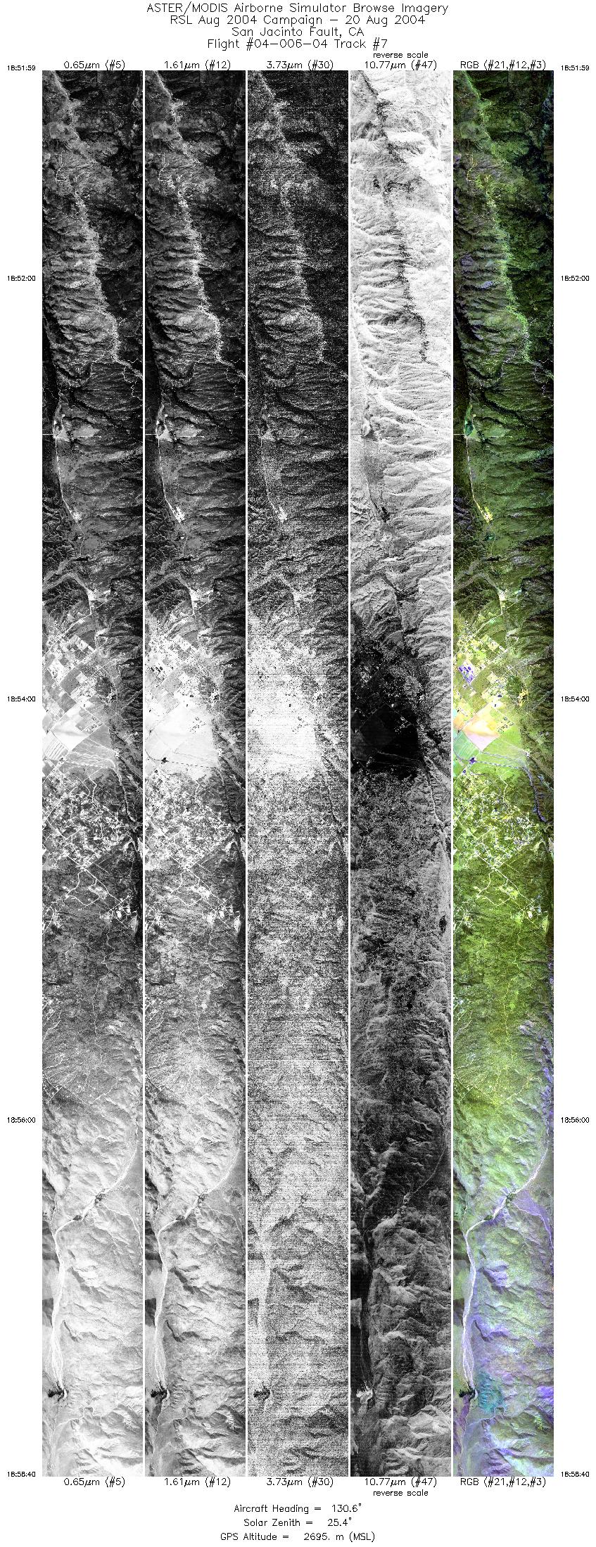
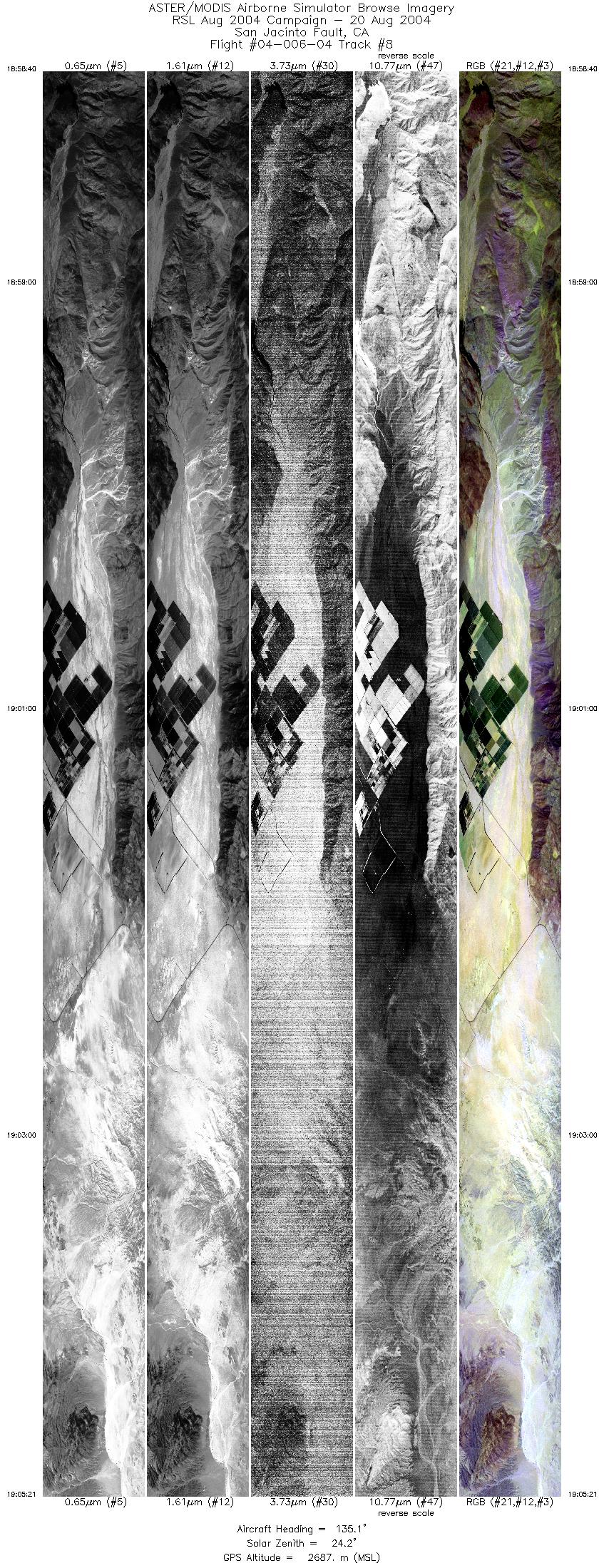
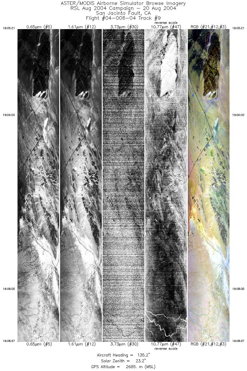
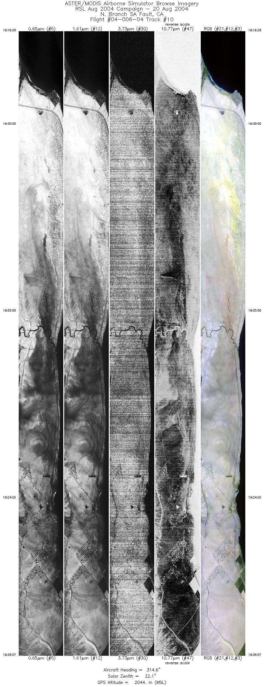
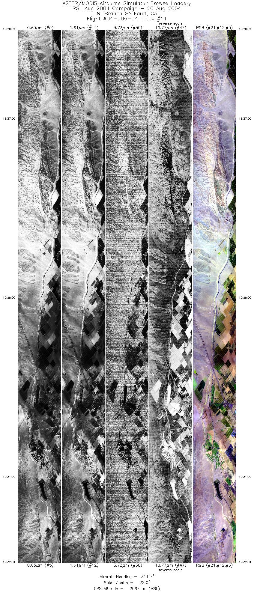
FLIGHT SUMMARY INFORMATION
Flight Track Map


|
Flight: 04-006-04 Date: August 20, 2004 Aircraft: DOE B200, #796 Deployment: RSL August 2004 Flight Location: Southern California Faults (day) Principal Investigator: Peltzer (JPL) Additional Sensors: |
|||||||||||||||||||||||||||||||||||||||||||||||||||||||||||||||||||||||||||||||||||||||||||||||||||||||||
|
Data Evaluation Weather: Clear to partly cloudy Haze: Light to moderate Data quality is good. |
|||||||||||||||||||||||||||||||||||||||||||||||||||||||||||||||||||||||||||||||||||||||||||||||||||||||||
|
Processing Information Level-1B Data in HDF format is available Flight Line Summary Spectral Band Configuration Spectral Response Function Table Spectral Response Function (text) |
|||||||||||||||||||||||||||||||||||||||||||||||||||||||||||||||||||||||||||||||||||||||||||||||||||||||||
|
Browse Imagery Flight Tracks: 11 Scanlines: 91484 |
|||||||||||||||||||||||||||||||||||||||||||||||||||||||||||||||||||||||||||||||||||||||||||||||||||||||||
|
|||||||||||||||||||||||||||||||||||||||||||||||||||||||||||||||||||||||||||||||||||||||||||||||||||||||||


