Flight: 04-006-02
Date: August 19, 2004
Aircraft: DOE B200, #796
Deployment: RSL August 2004
Flight Location: Southern California Faults (day)
Principal Investigator: Peltzer (JPL)
Additional Sensors:
|
Data Evaluation
Weather: Clear to partly cloudy
Haze: Light to moderate
Data quality is good.
|
Processing Information
Level-1B Data in HDF format is available
Flight Line Summary
Spectral Band Configuration
Spectral Response Function Table
Spectral Response Function (text)
|
Browse Imagery
Flight Tracks: 13
Scanlines: 96939
|
Browse Imagery Table
|
Click a Flight Track number to view a quicklook image
Lat/Lon ranges are for the BEG-END scanline nadir pixels
|
Flight
Track |
Time Span
(UTC) |
Heading
(Deg) |
Lat Range
(Deg N) |
Lon Range
(Deg W) |
Length
(Scanlines) |
Altitude
(Meters) |
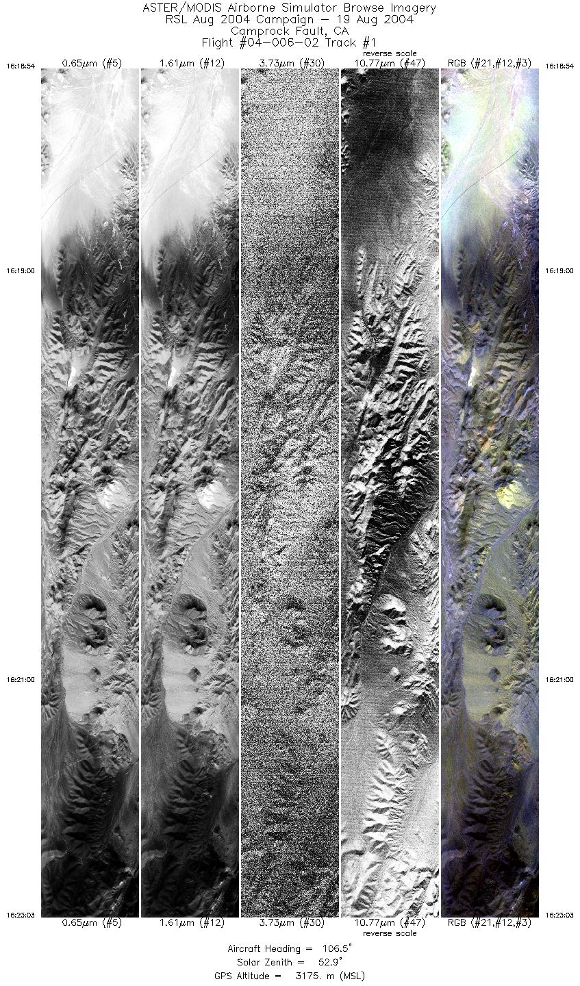
| 1 |
16:18 - 16:23 |
108.2 |
34.815 - 34.753 |
117.056 - 116.802 |
6203 |
3175 |
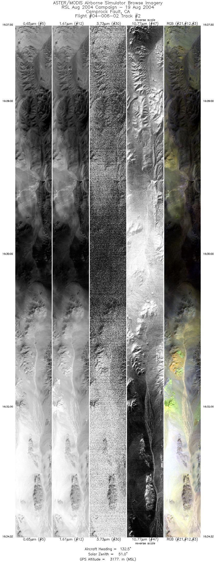
| 2 |
16:27 - 16:34 |
134.5 |
34.787 - 34.544 |
116.862 - 116.559 |
9999 |
3176 |
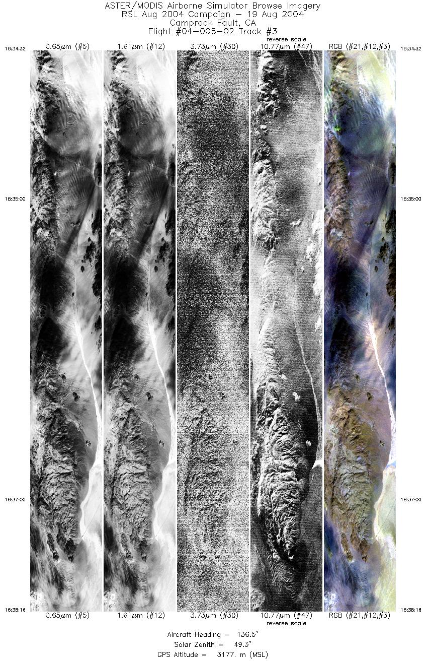
| 3 |
16:34 - 16:38 |
136.2 |
34.544 - 34.405 |
116.559 - 116.386 |
5574 |
3176 |
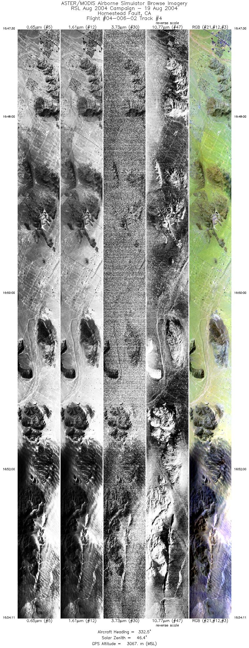
| 4 |
16:47 - 16:54 |
331.6 |
34.134 - 34.467 |
116.300 - 116.513 |
9999 |
3059 |
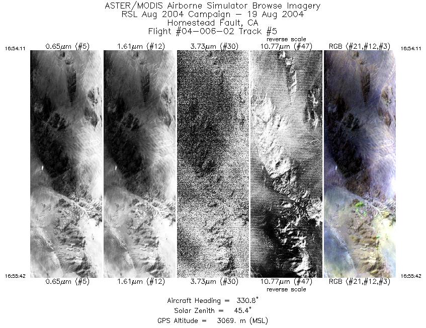
| 5 |
16:54 - 16:55 |
330.2 |
34.467 - 34.543 |
116.513 - 116.561 |
2266 |
3068 |
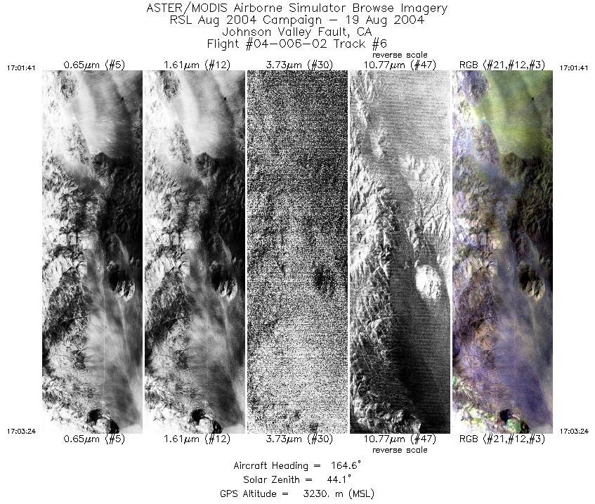
| 6 |
17:01 - 17:03 |
165.5 |
34.602 - 34.514 |
116.710 - 116.683 |
2585 |
3230 |
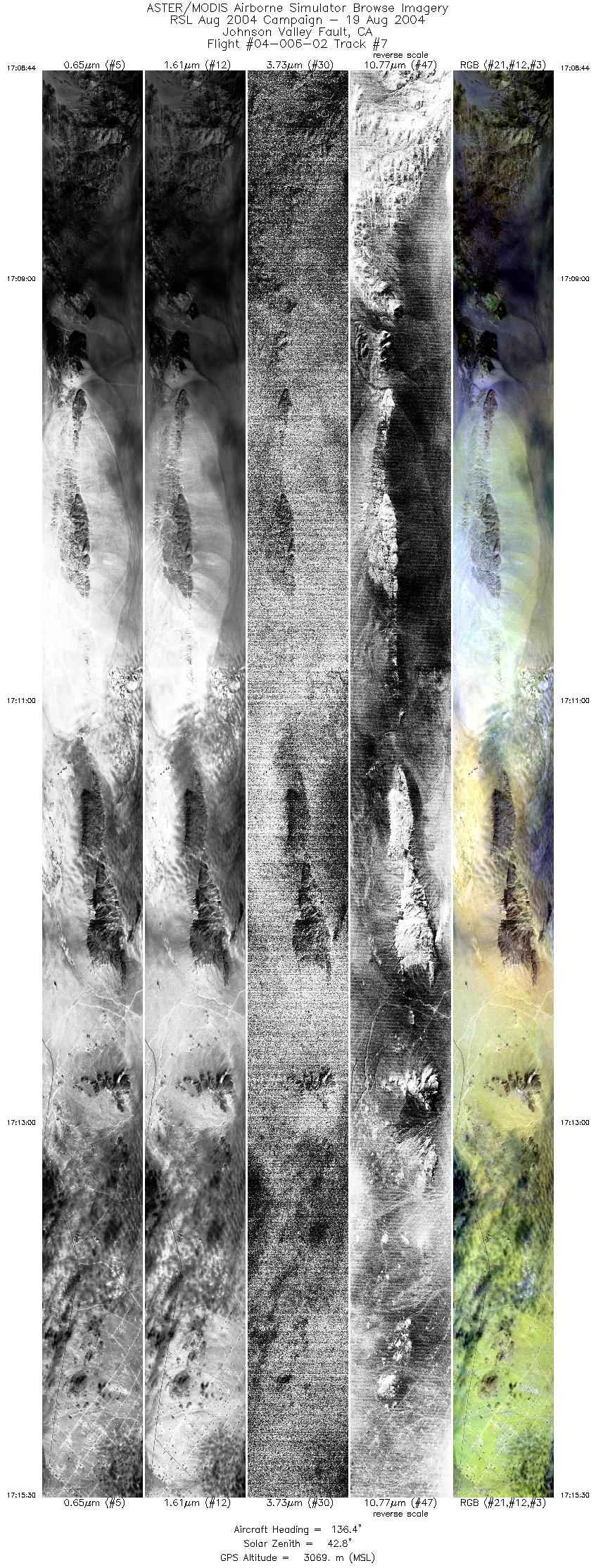
| 7 |
17:08 - 17:15 |
138.9 |
34.562 - 34.291 |
116.724 - 116.438 |
10132 |
3075 |
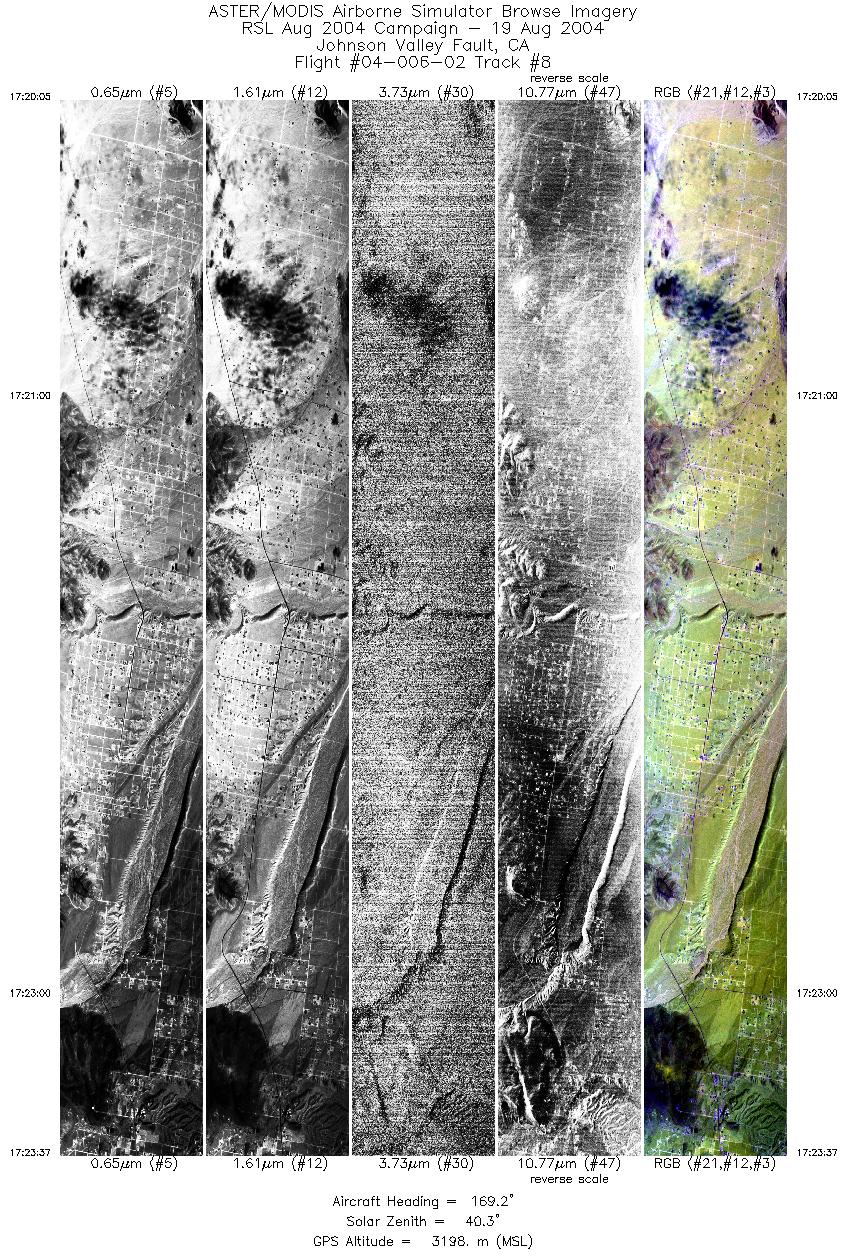
| 8 |
17:20 - 17:23 |
170.4 |
34.346 - 34.165 |
116.459 - 116.424 |
5281 |
3199 |
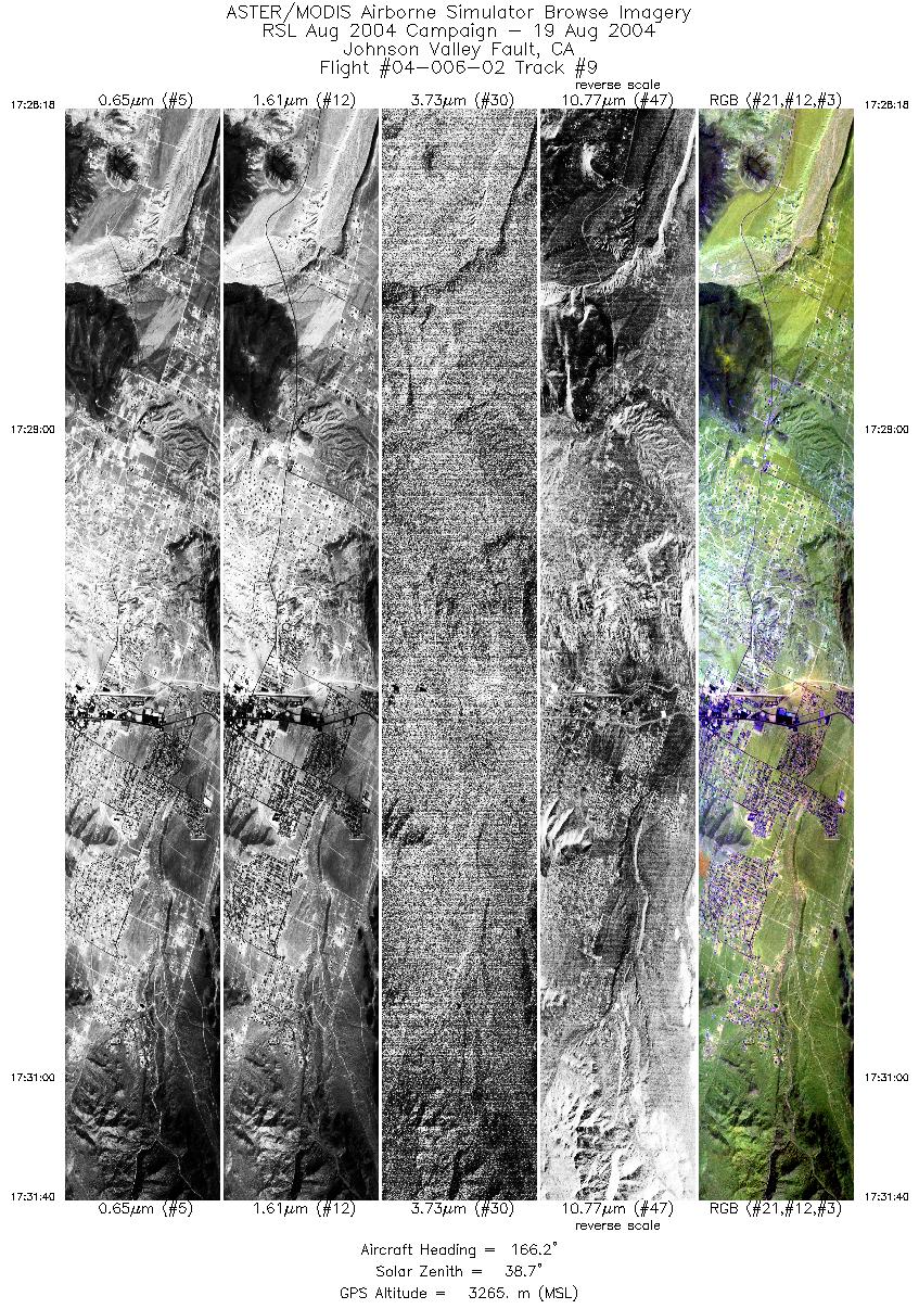
| 9 |
17:28 - 17:31 |
161.6 |
34.219 - 34.056 |
116.444 - 116.363 |
5031 |
3266 |
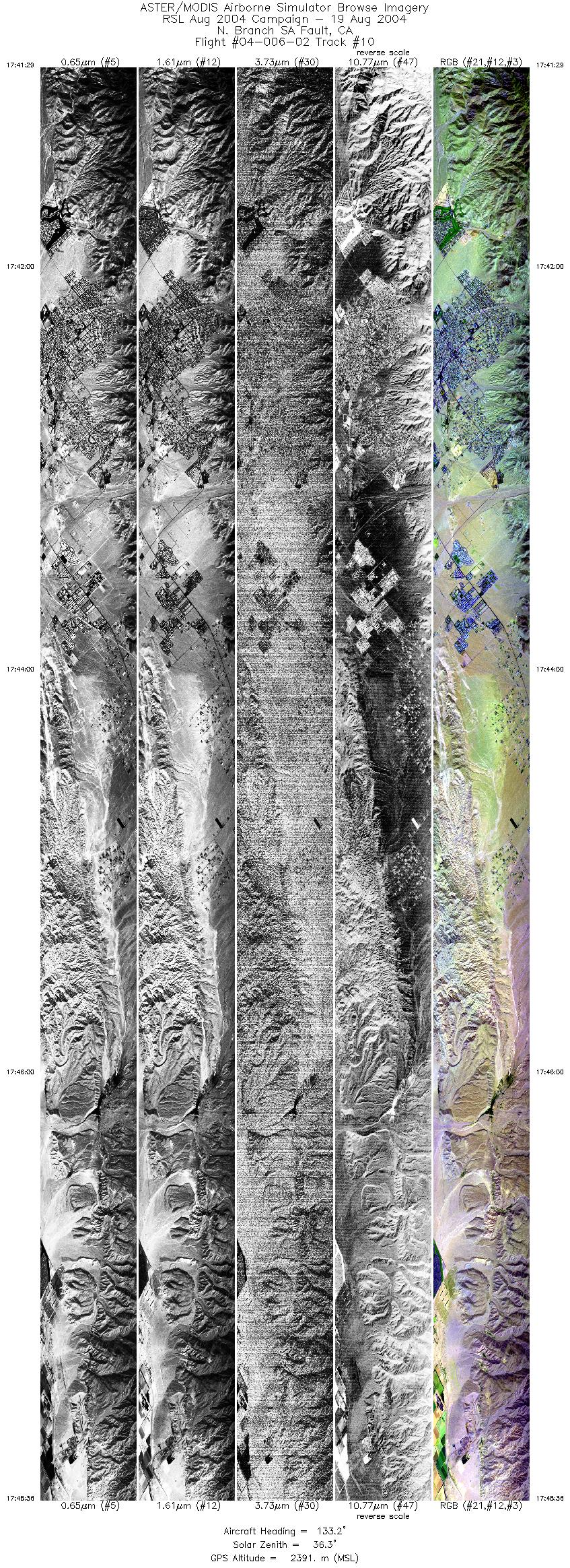
| 10 |
17:41 - 17:48 |
132.5 |
34.018 - 33.766 |
116.563 - 116.217 |
10644 |
2390 |
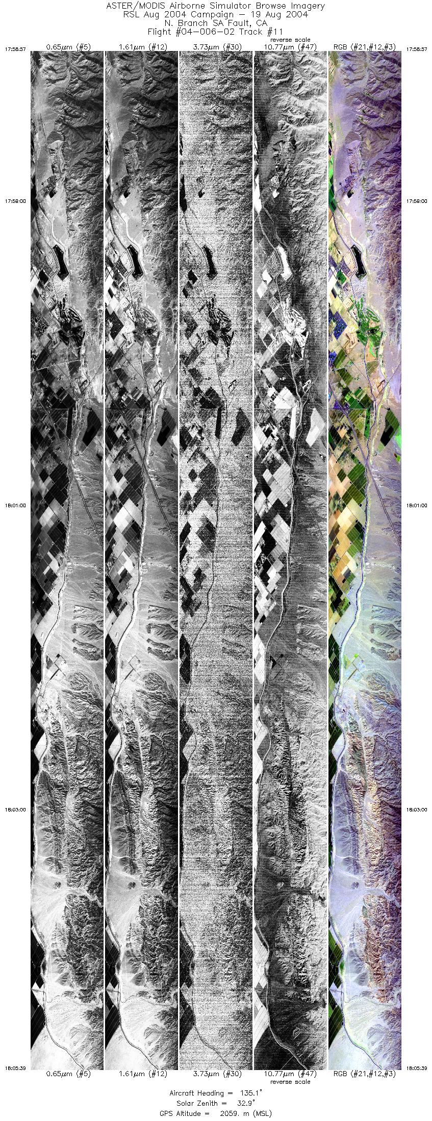
| 11 |
17:58 - 18:05 |
134.7 |
33.807 - 33.561 |
116.269 - 115.970 |
9999 |
2059 |
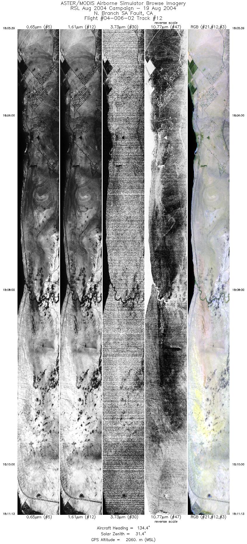
| 12 |
18:05 - 18:11 |
134.3 |
33.561 - 33.355 |
115.970 - 115.718 |
8317 |
2060 |
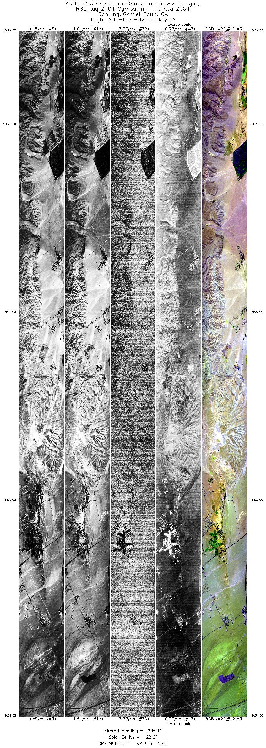
| 13 |
18:24 - 18:31 |
297.2 |
33.770 - 33.950 |
116.215 - 116.600 |
10909 |
2308 |
|


