


MODIS Airborne Simulator (MAS)
CAMPAIGN SUMMARY INFORMATION
|
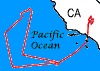
GSFC Lidar Observation and Validation Experiment (GLOVE) Dates: February 2025 Location: Western USA / Pacific Ocean eMAS Principal Investigator: Dr. Steven Platnick (NASA GSFC) Configuration: 38 Channel Additional Sensors: CPL / CRS Objective: The Science goals for GLOVE are to validate new ICESat-2 atmospheric data products, validate the EarthCARE lidar / radar / spectrometer data products, and test the new Roscoe receiver alignment. |
|||||||||||||||||||||||||||||||||||||||||
|
Processing Information Flights Processed: 4 Total Flight Tracks: 42 Total Scanlines: 300,701 Status: Level-1B data is available in netCDF format |
|||||||||||||||||||||||||||||||||||||||||
|
eMAS Spectral Information Spectral Band Configuration Spectral Response Function Table |
|||||||||||||||||||||||||||||||||||||||||
|
Overpass Information Satellites |
|||||||||||||||||||||||||||||||||||||||||
|
|||||||||||||||||||||||||||||||||||||||||
|
|||||||||||||||||||||||||||||||||||||||||
|
Related Web Sites GLOVE Project Page NASA Airborne Science Program |
|||||||||||||||||||||||||||||||||||||||||
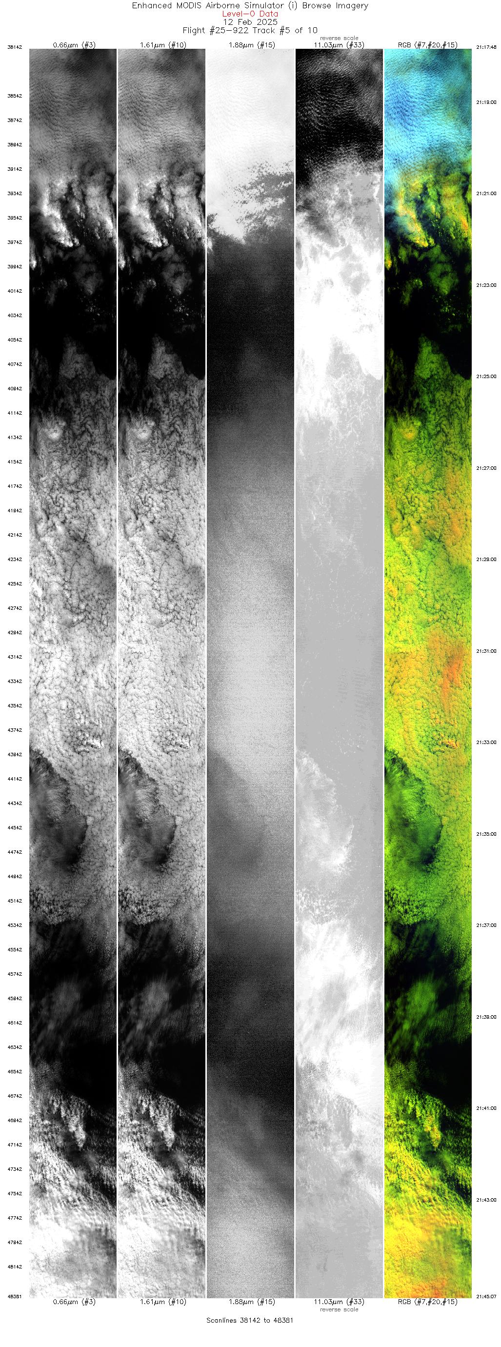
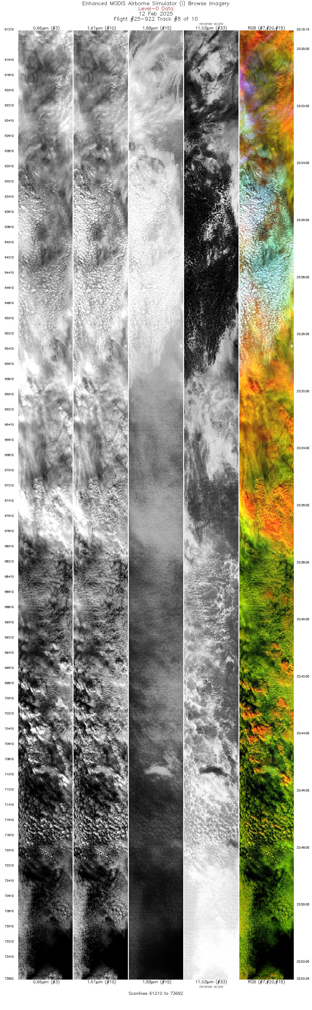
 Flight: 25-922
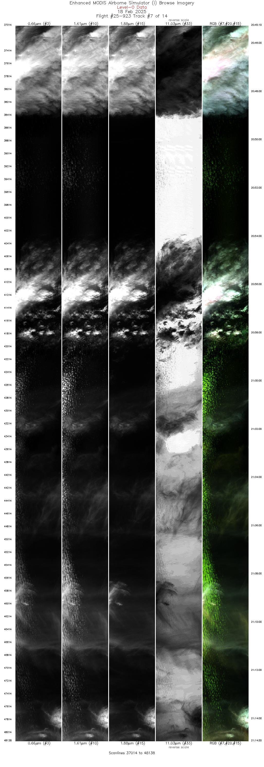
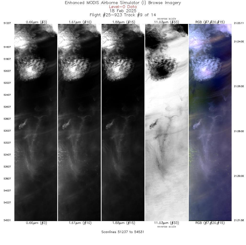
 Flight: 25-923
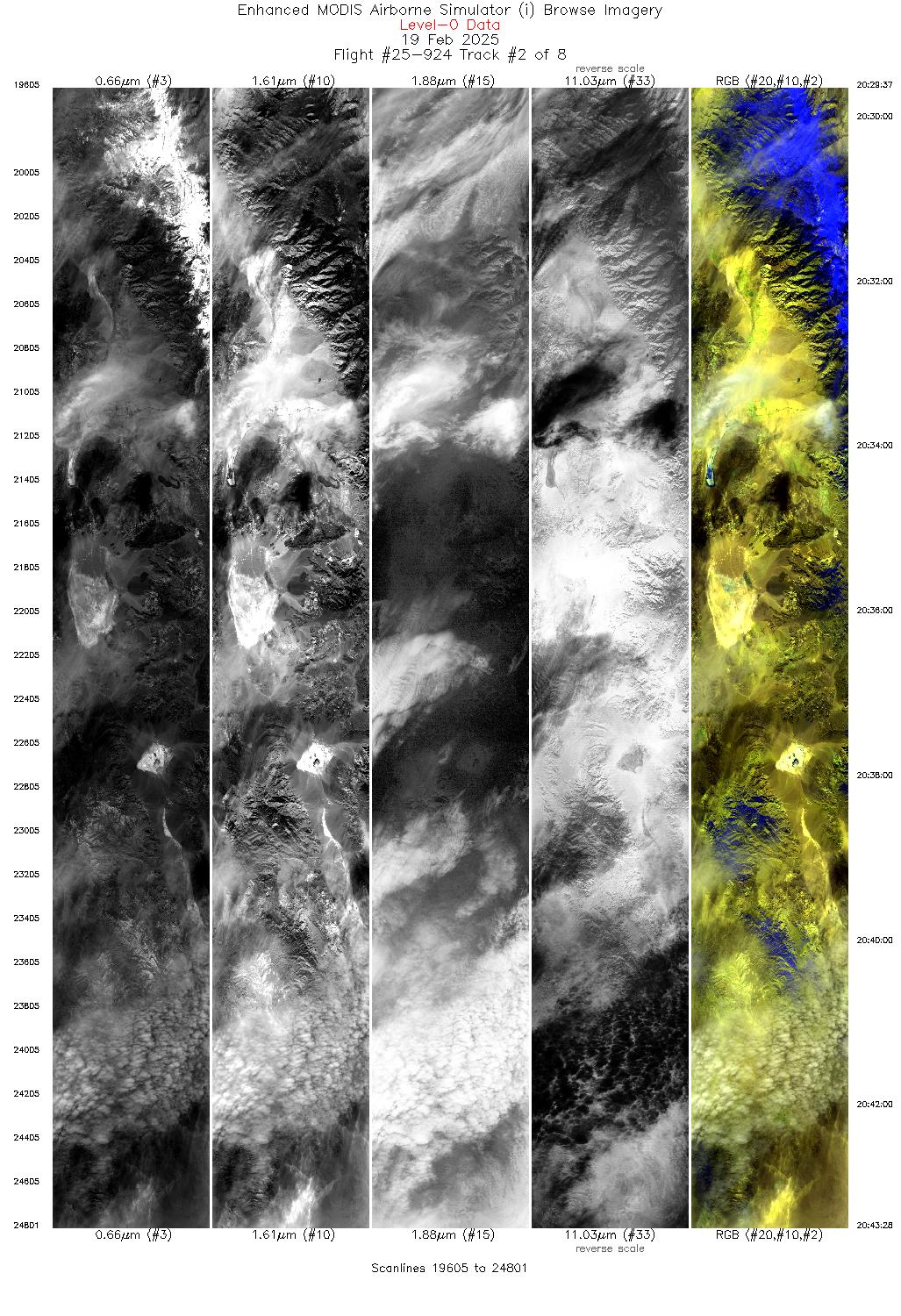
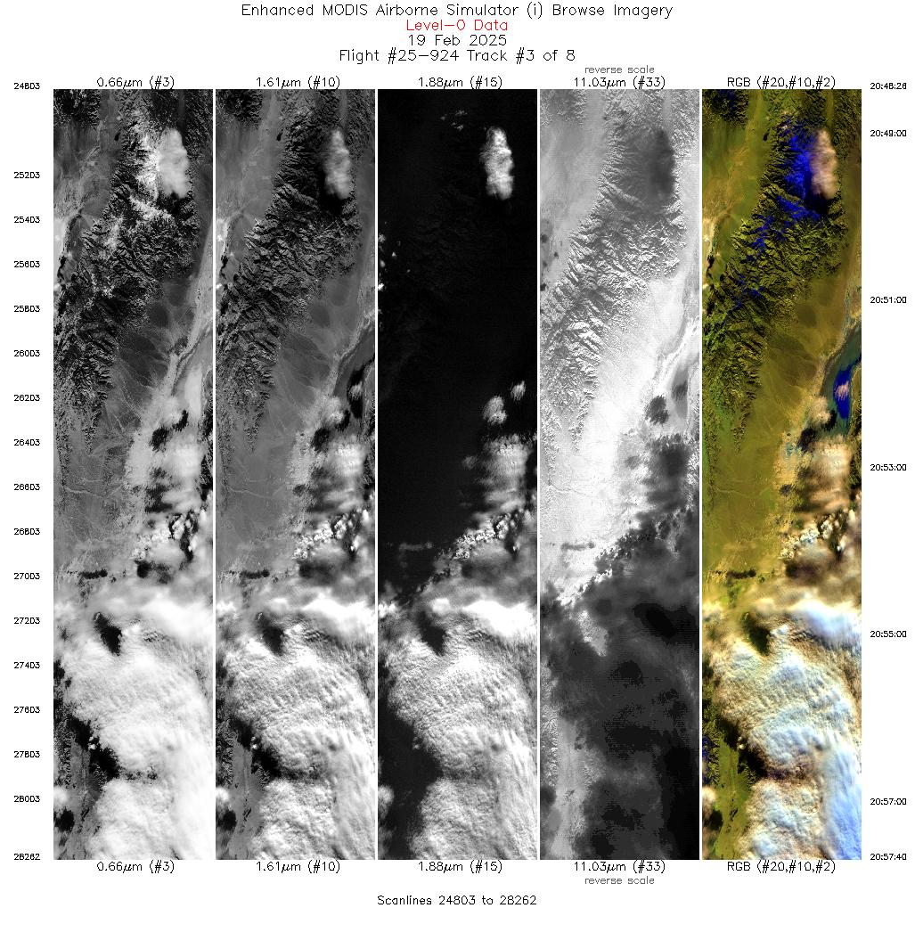
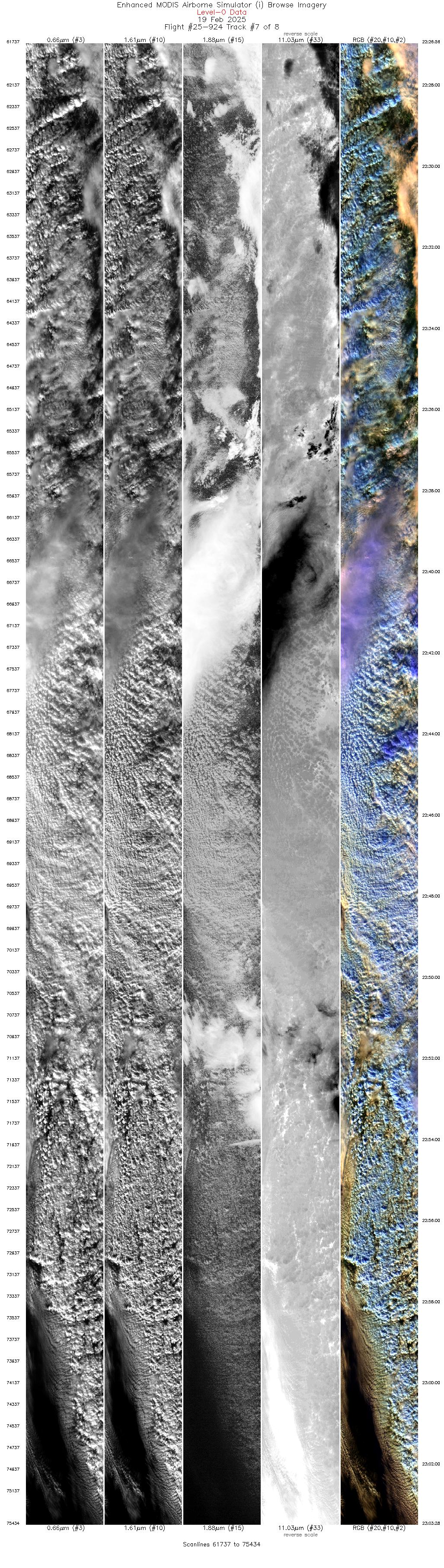
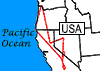 Flight: 25-924
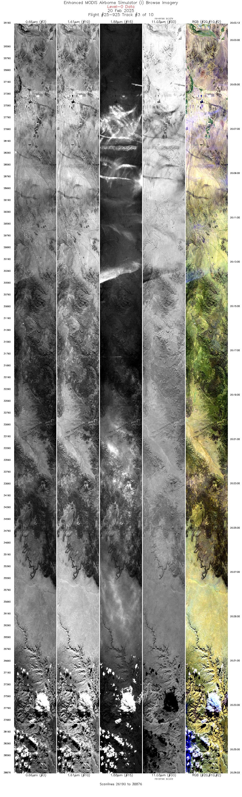
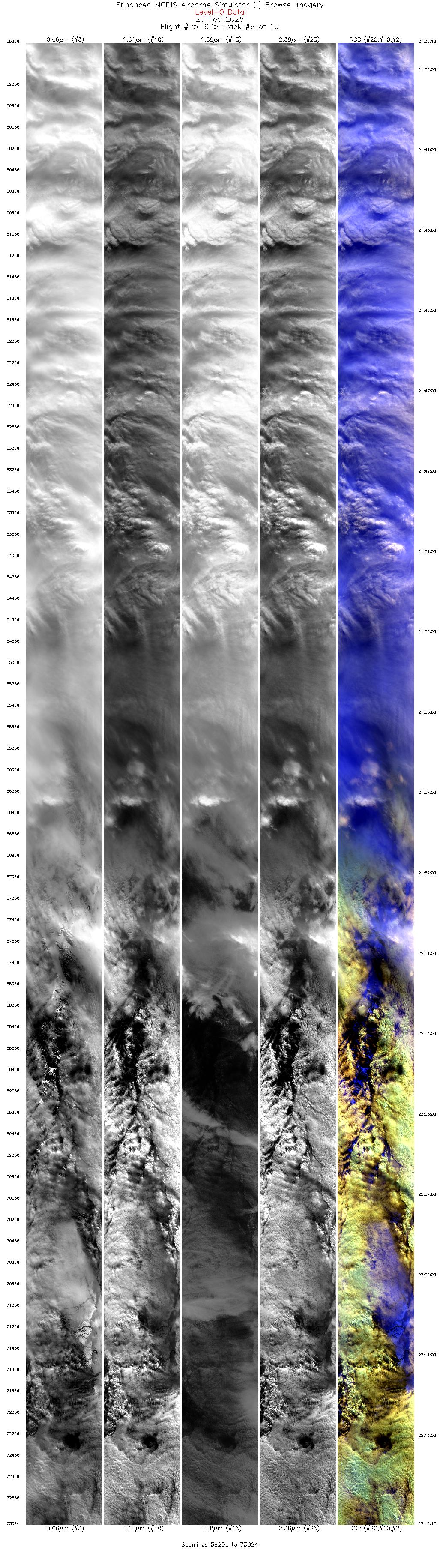
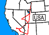 Flight: 25-925
GLOVE


| Sample Imagery |
| Click image for full resolution |
|
Track: #08 EarthCARE Underpass |


|
|
R: 2.13µm G: 1.61µm B: 0.55µm |
- NASA Official: Matt Fladeland
- Project Manager: James Jacobson
- Website Editor: Eric Fraim
- Last Updated: July 21, 2025


