


MODIS Airborne Simulator (MAS)
MAS NADIR PROFILES
|
Overview The Nadir Profile product consists of two files: an image file mapping the reported temperature at nadir (not atmospherially corrected) and a text output of 4 selected bands; typically 3, 15, 30, & 45. The text file reports the two visible bands in radiance units and the two IR bands in degrees Kelvin every three seconds over the course of the entire flight. |
|||||||||||||||||||||||||
|
|||||||||||||||||||||||||
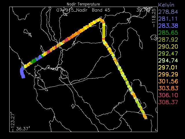 Image Profile
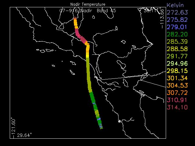 Image Profile
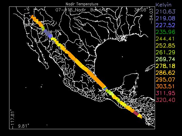 Image Profile
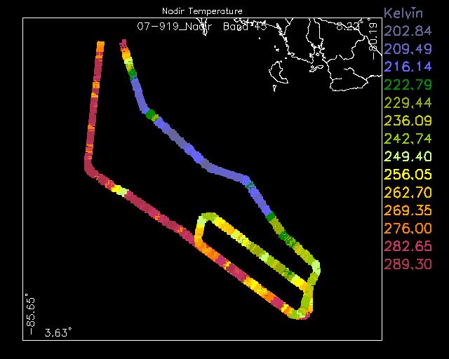 Image Profile
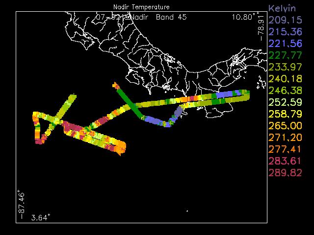 Image Profile
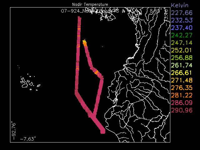 Image Profile
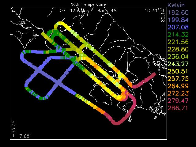 Image Profile
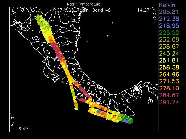 Image Profile
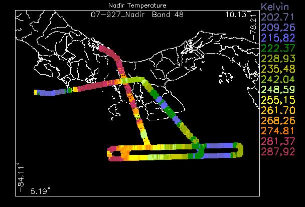 Image Profile
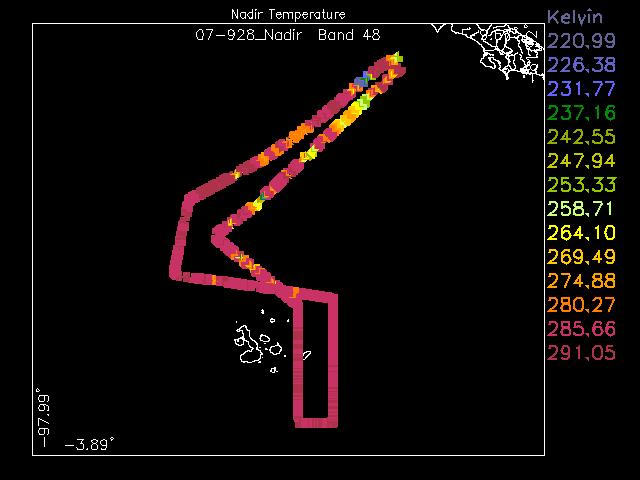 Image Profile
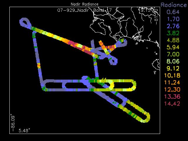 Image Profile
Nadir Profiles


Earth Scene Imagery

These sample images represent the enormous repository of data from various campaigns collected over the past two decades.
- NASA Official: Matt Fladeland
- Project Manager: James Jacobson
- Website Editor: Eric Fraim
- Last Updated: March 21, 2024


