


MODIS Airborne Simulator (MAS)
CAMPAIGN SUMMARY INFORMATION
|
Tropical Composition, Cloud and Climate Coupling (TC4) Dates: 17 July - 08 August 2007 Location: Eastern Pacific Ocean Principal Investigators: Dr. Michael King (NASA GSFC) Additional Sensors: AMPR, BBIR, CoSSIR, CPL, CRS, EDOP, MTP, MVIS, S-HIS, & SSFR Objective: This mission investigates the structure, properties and processes in the Eastern Pacific Tropics. High altitude aircraft collected tropopause data while medium altitude aircraft provided profiles and structure measurements of the tropical upper troposphere and lower stratosphere. |
||||||||||||||||||||||||||||||||||||||||
|
Processing Information Flights Processed: 13 [ 6 (MAS Hybrid) / 7 (MASTER) ] Total Flight Tracks: 198 [ 85 (MAS Hybrid) / 113 (MASTER) ] Total Scanlines: 1151804 [ 490800 (MAS Hybrid) / 661004 (MASTER) ] Level-1B Version: 4.0 Calibration Type: Final Calibration Version: 2.0 Temperature Adjustment: None Status: Level-1B data is available in HDF format Processing Notes (v4) The CalibrationSlope and CalibratedData scientific data sets (SDS) for visible and shortwave infrared bands (Chs 1-25) have been adjusted by scale factors supplied by Goddard Space Flight Center. The modified amounts are referenced in a new SDS entitled CalibrationSlopeAdjustmentFactor. These adjustments were based on direct comparisons with MODIS and are supported by results from vicarious ground based radiometric measurements. |
||||||||||||||||||||||||||||||||||||||||
|
Nadir Profiles Nadir Profiles |
||||||||||||||||||||||||||||||||||||||||
|
MAS Hybrid Spectral Information Spectral Band Configuration Spectral Response Function Table |
||||||||||||||||||||||||||||||||||||||||
|
MASTER Spectral Information Spectral Band Configuration Spectral Response Function Table |
||||||||||||||||||||||||||||||||||||||||
|
Level-1B Data Distribution Level 1 / Atmosphere Archive and Distribution System (LAADS) NASA JPL (MASTER data only) NASA Distributive Active Archive Centers (DAACs) |
||||||||||||||||||||||||||||||||||||||||
|
||||||||||||||||||||||||||||||||||||||||
|
||||||||||||||||||||||||||||||||||||||||
|
Related Web Sites Official TC4 Home Page AMPR Information CoSSIR Home Page CPL Home Page CRS Home Page EDOP Home Page MASTER Home Page MTP Home Page S-HIS Home Page SSFR Information (PDF) NASA Airborne Science Program |
||||||||||||||||||||||||||||||||||||||||
 Flight: 07-915
 Flight: 07-916
 Flight: 07-918
 Flight: 07-919
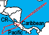 Flight: 07-920
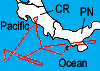 Flight: 07-921
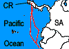 Flight: 07-924
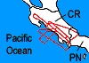 Flight: 07-925
 Flight: 07-926
 Flight: 07-927
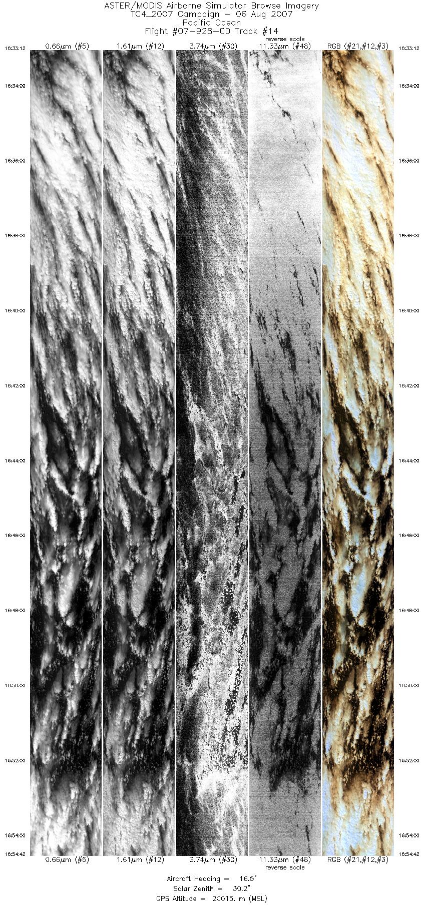
 Flight: 07-928
 Flight: 07-929
 Flight: 07-930
TC4


| Sample Imagery |
| Click image for full resolution |
|
Flight: 07-919, Track #07 DC-8 Contrail @ 14:46 |


|
|
R: 1.62µm G: 0.55µm B: 1.89µm |
| Sample Imagery |
| Click image for full resolution |
|
Flight: 07-920, Track #04 Pacific Storm Cell @ 13:34 |

|
|
R: 2.13µm G: 1.62µm B: 0.55µm |
- NASA Official: Matt Fladeland
- Project Manager: James Jacobson
- Website Editor: Eric Fraim
- Last Updated: March 21, 2024


