


MODIS Airborne Simulator (MAS)
FLIGHT SUMMARY INFORMATION


|
Flight: 99-055 Date: 25 March 1999 Location: Lake Superior / Michigan / Wisconsin (Night) Deployment: WINTEX Principal Investigator: Moeller (UWisc) Additional Sensors: NAST-I, NAST-M, RC-10 (6" / 12" BW), SHIS, VIS |
||||||||||||||||||||||||||||||||||||||||||||||||||||||||||||||||||||||||||||||||||||||||||||||||||||||||||||||||
|
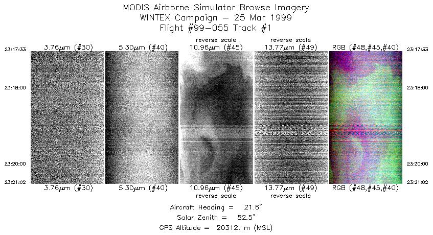
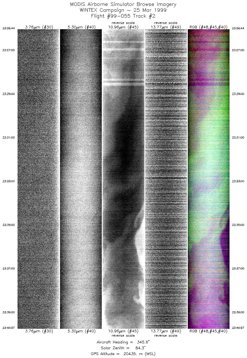
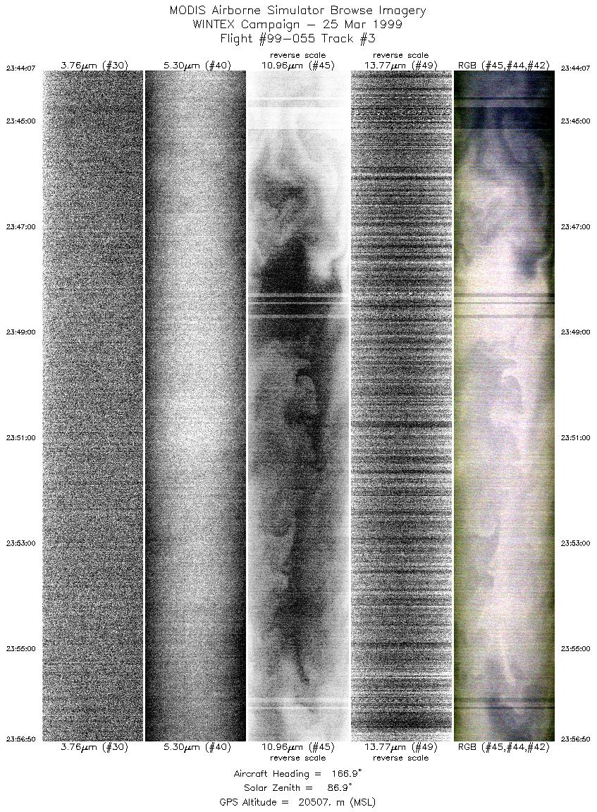
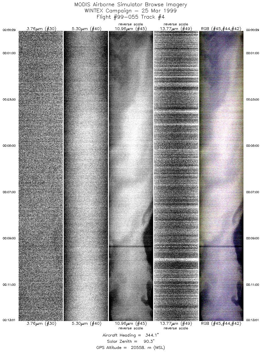
Data Evaluation Negative radiances were seen in this flight in channels 13-28, 33, 34 and 50. The negative values were due to errors in the data recording system, which was faulty due to the very low signal aquired over Lake Superior during this flight. For the negative radiances, the error range for the data values was greater than the data values recorded. Example: Flight 99-055 track 1 channel 14. |
||||||||||||||||||||||||||||||||||||||||||||||||||||||||||||||||||||||||||||||||||||||||||||||||||||||||||||||||
|
Processing Information Level-1B Data in HDF format is available Flight Line Summary Spectral Band Configuration Spectral Response Function Table |
||||||||||||||||||||||||||||||||||||||||||||||||||||||||||||||||||||||||||||||||||||||||||||||||||||||||||||||||
|
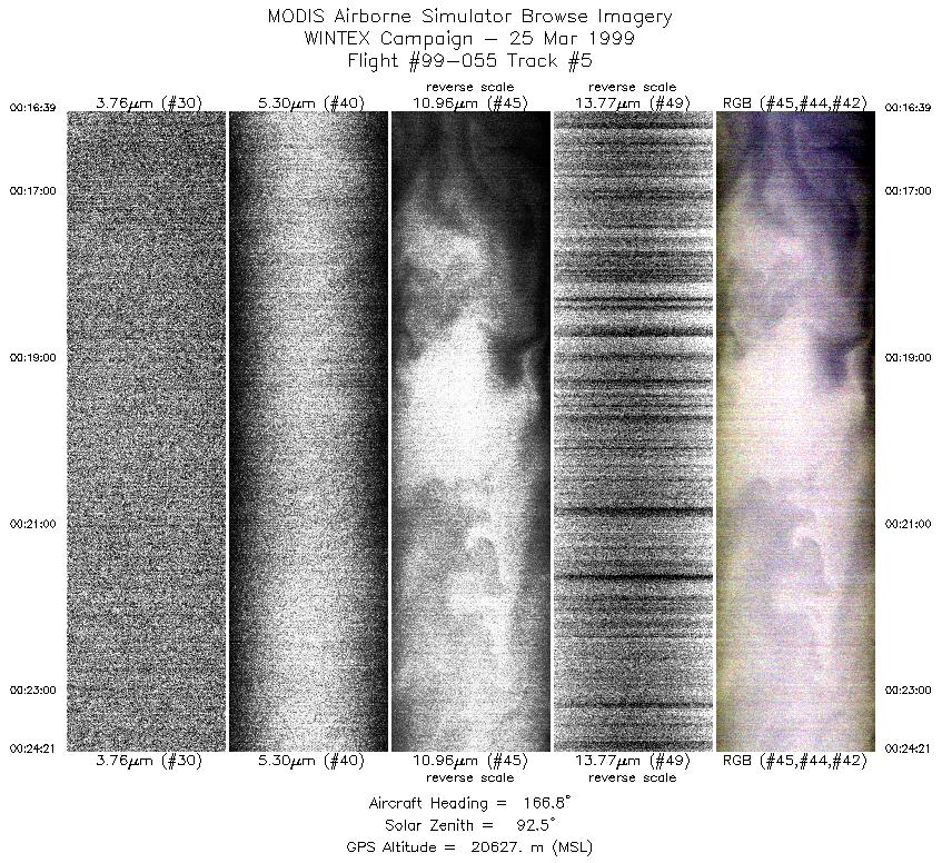
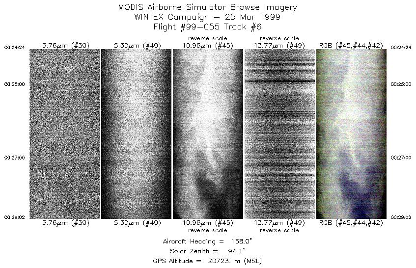
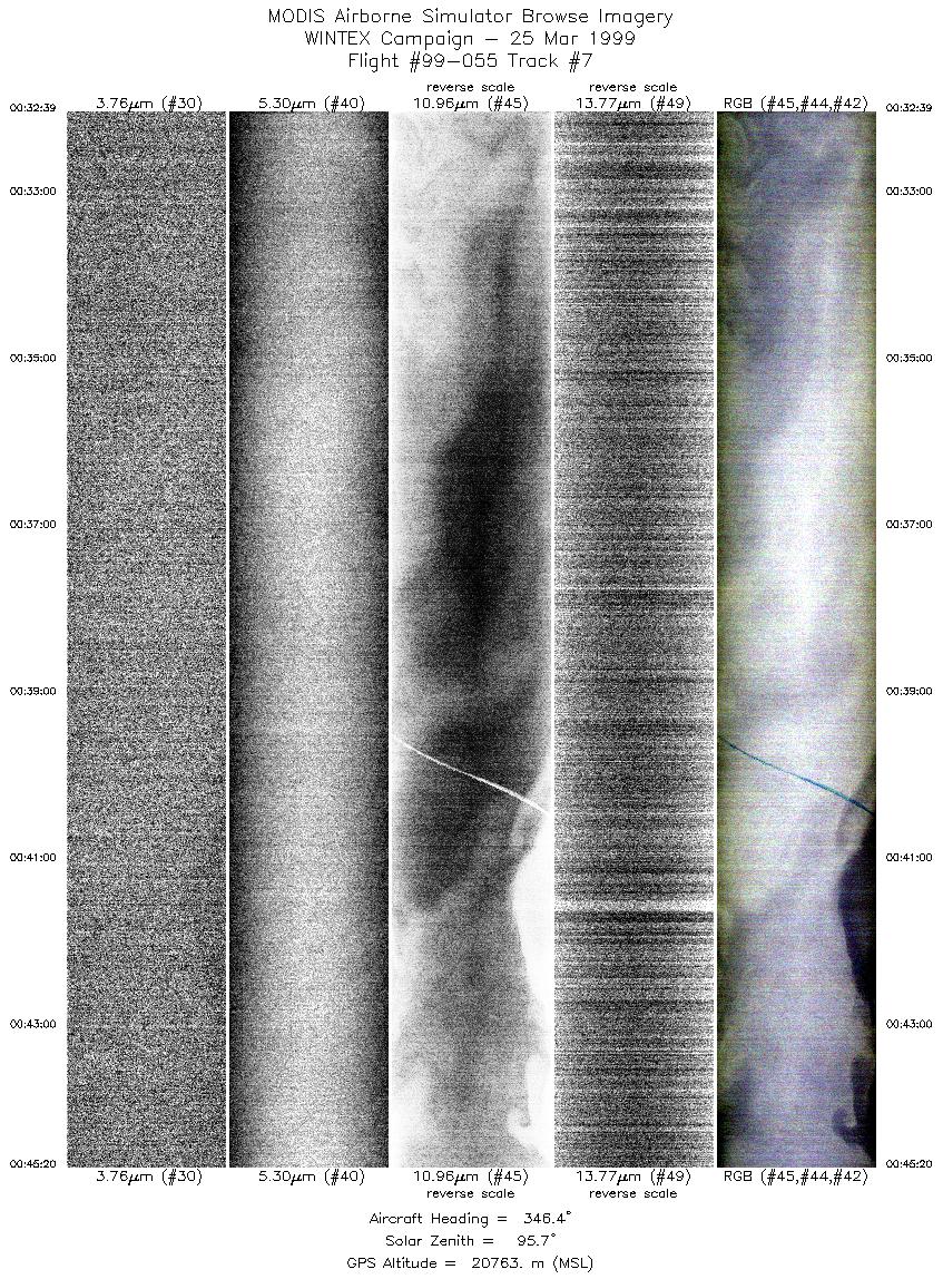
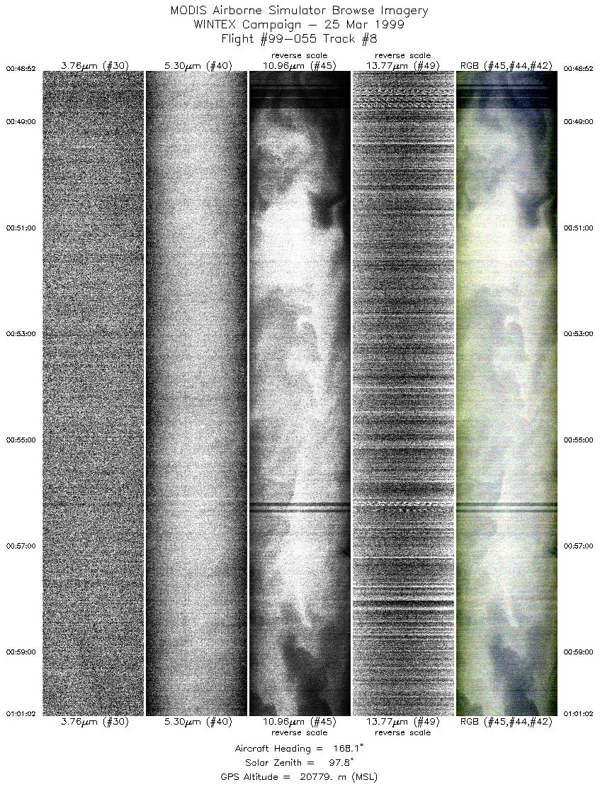
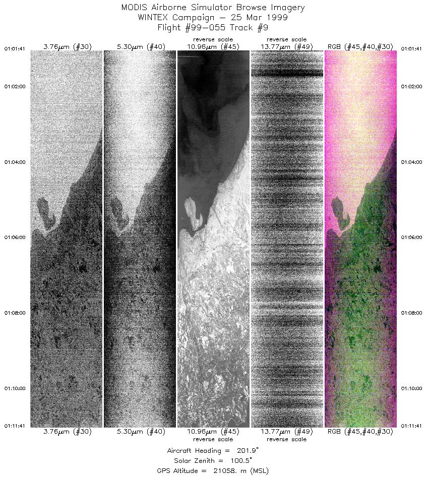
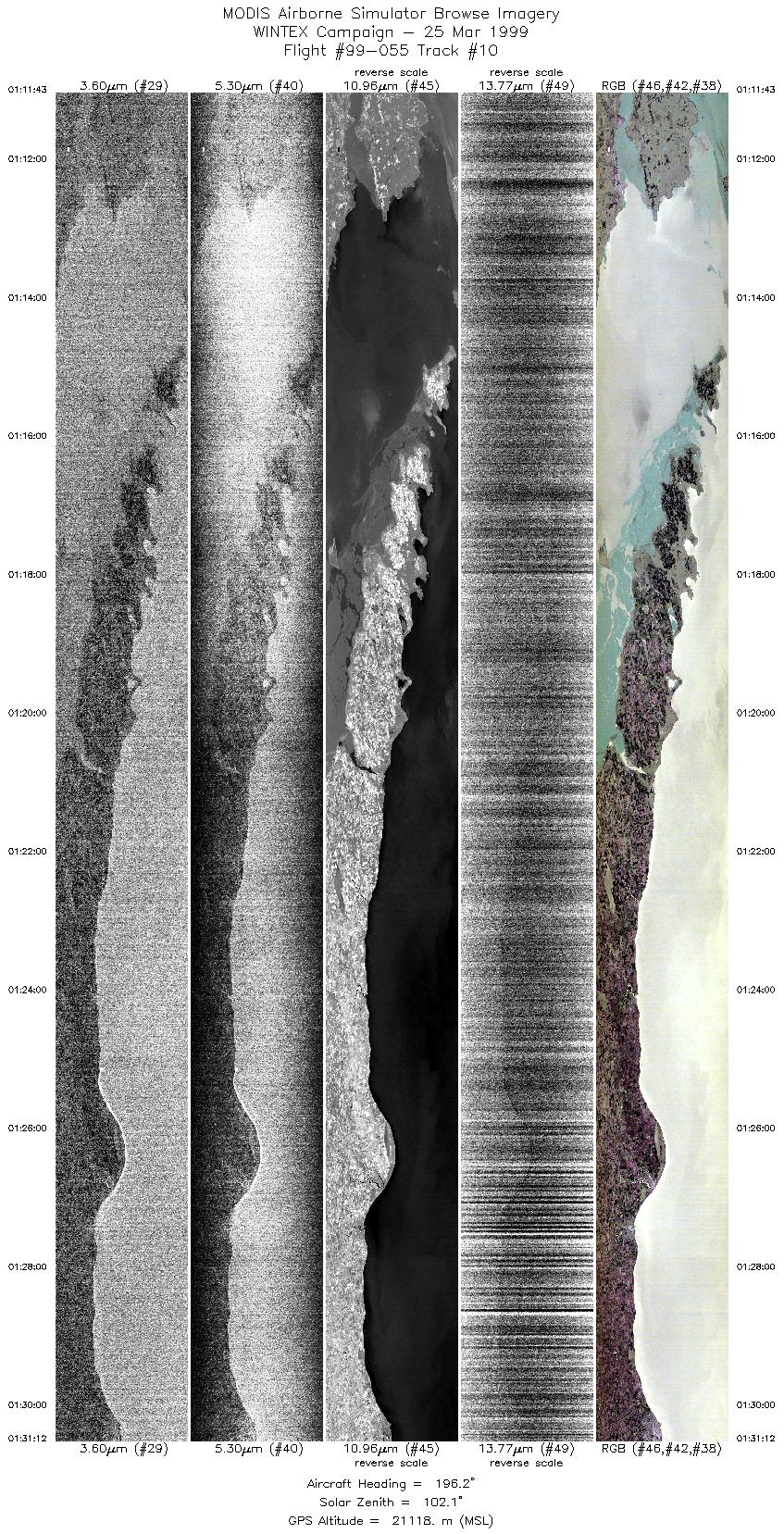
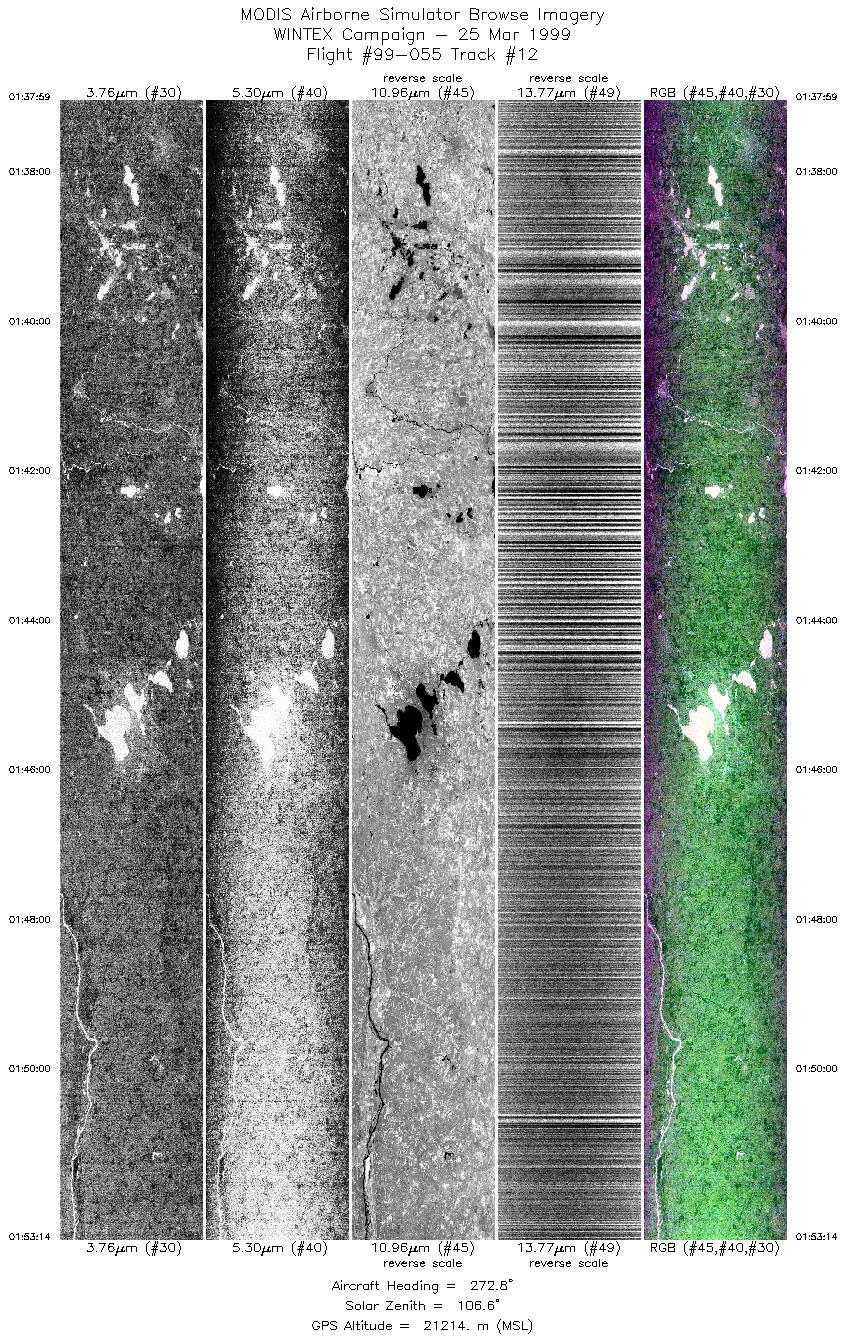
Browse Imagery Flight Tracks: 12 Scanlines: 48416 |
||||||||||||||||||||||||||||||||||||||||||||||||||||||||||||||||||||||||||||||||||||||||||||||||||||||||||||||||
|
||||||||||||||||||||||||||||||||||||||||||||||||||||||||||||||||||||||||||||||||||||||||||||||||||||||||||||||||
|
Objective and Summary:
Take-off was at 2230 UTC. ER-2 landed at 0230 UTC (99085). |
||||||||||||||||||||||||||||||||||||||||||||||||||||||||||||||||||||||||||||||||||||||||||||||||||||||||||||||||

Flight 99-055


| Sample Imagery |
| Click image for full resolution |
|
Track #10 Green Bay Door Peninsula, WI |


|
|
R: 10.10µm G: 8.30µm B: 4.95µm |
- NASA Official: Matt Fladeland
- Project Manager: James Jacobson
- Website Editor: Eric Fraim
- Last Updated: November 16, 2021


