


MODIS Airborne Simulator (MAS)
FLIGHT SUMMARY INFORMATION
Flight Track Map


|
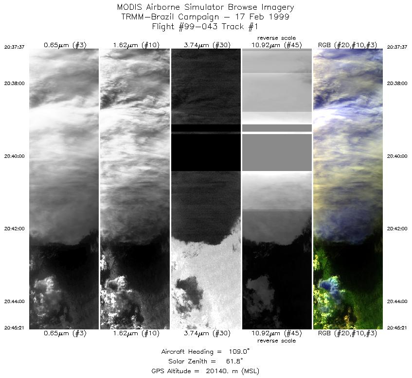
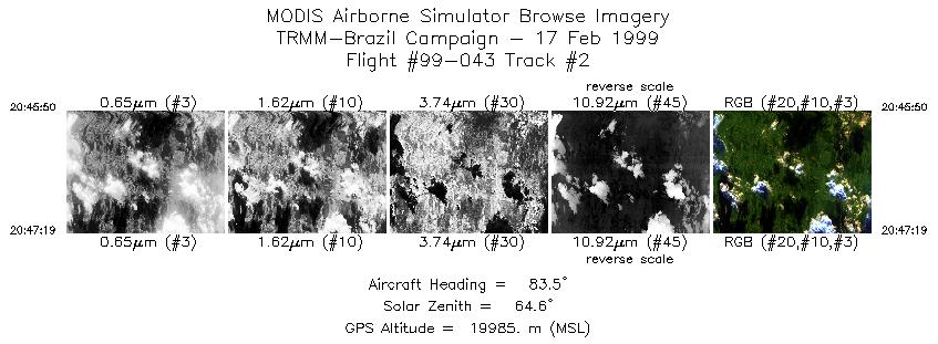
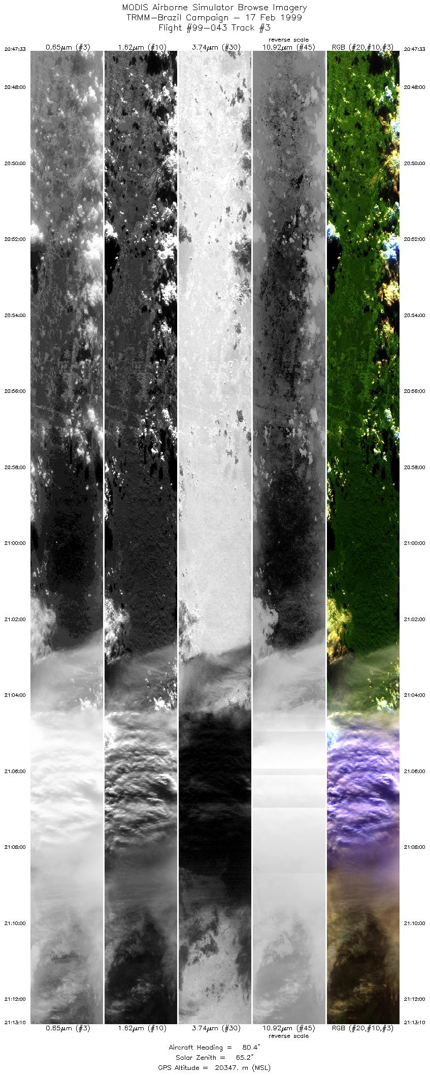
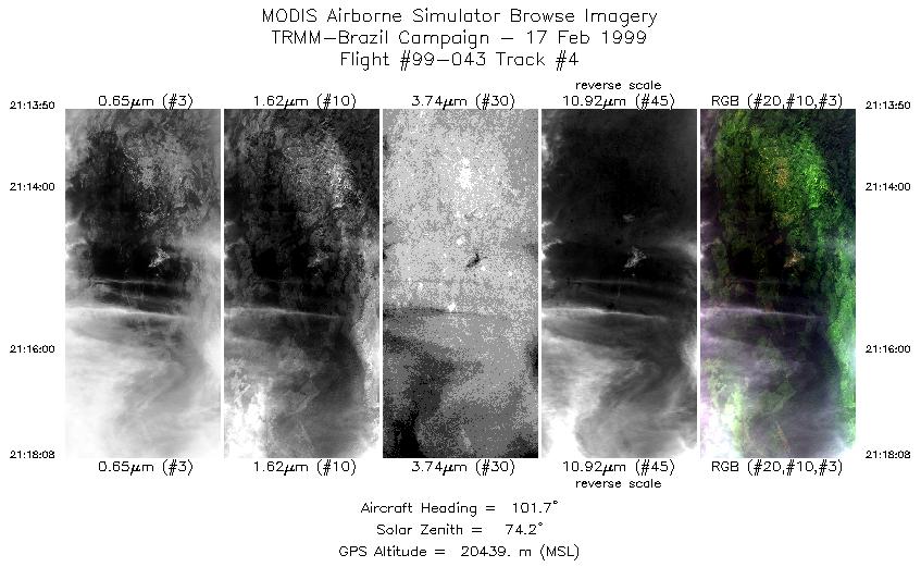
Flight: 99-043 Date: 17 February 1999 Location: Rondonia, Brazil Deployment: TRMM-LBA Principal Investigator: Guillory (MSFC) Additional Sensors: AMPR, EDOP, LIP, MIR, VIS |
||||||||||||||||||||||||||||||||||||||||||||||||||||||||
|
Data Evaluation Overall quality is good Channels 49 and 50 have been swapped. Severe GPS navigation drop-outs throughout RS232 data. Both blackbodies left in preflight mode. Flight temps: BB1 +17.08 C / BB2 +37.63 C. System fail light (L1) noted by pilot 2 hours 44 minutes into flight data acquition. Pilot cycled L1 power twice, then cycled left wing power. This caused the tape drive to rewind to the beginning of the data tape. All data recorded prior to cycling of L1 power was overwritten. |
||||||||||||||||||||||||||||||||||||||||||||||||||||||||
|
Processing Information Level-1B Data in HDF format is available Flight Line Summary Spectral Band Configuration Spectral Response Function Table |
||||||||||||||||||||||||||||||||||||||||||||||||||||||||
|
Browse Imagery Flight Tracks: 4 Scanlines: 14631 |
||||||||||||||||||||||||||||||||||||||||||||||||||||||||
|
||||||||||||||||||||||||||||||||||||||||||||||||||||||||

Flight 99-043


| Sample Imagery |
| Click image for full resolution |
|
Track #4 Rondonia, Brazil |


|
|
R: 2.13µm G: 1.62µm B: 0.55µm |
- NASA Official: Matt Fladeland
- Project Manager: James Jacobson
- Website Editor: Eric Fraim
- Last Updated: November 16, 2021


