


MODIS Airborne Simulator (MAS)
FLIGHT SUMMARY INFORMATION
Flight Track Map


|
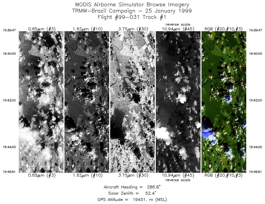
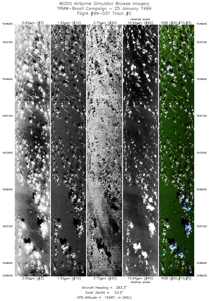
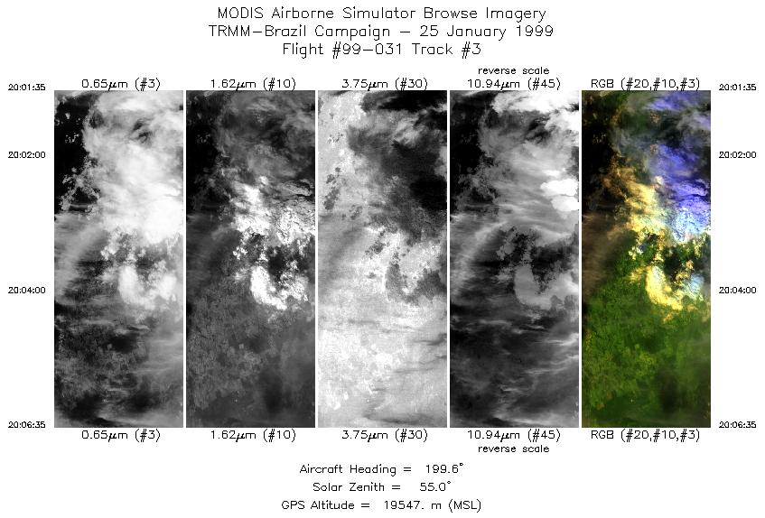
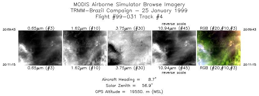
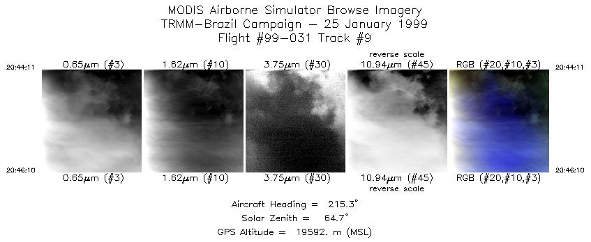
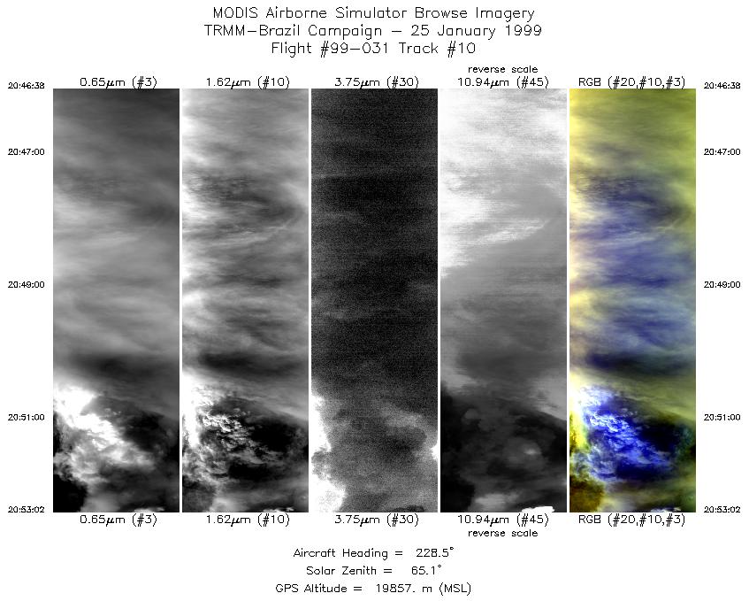
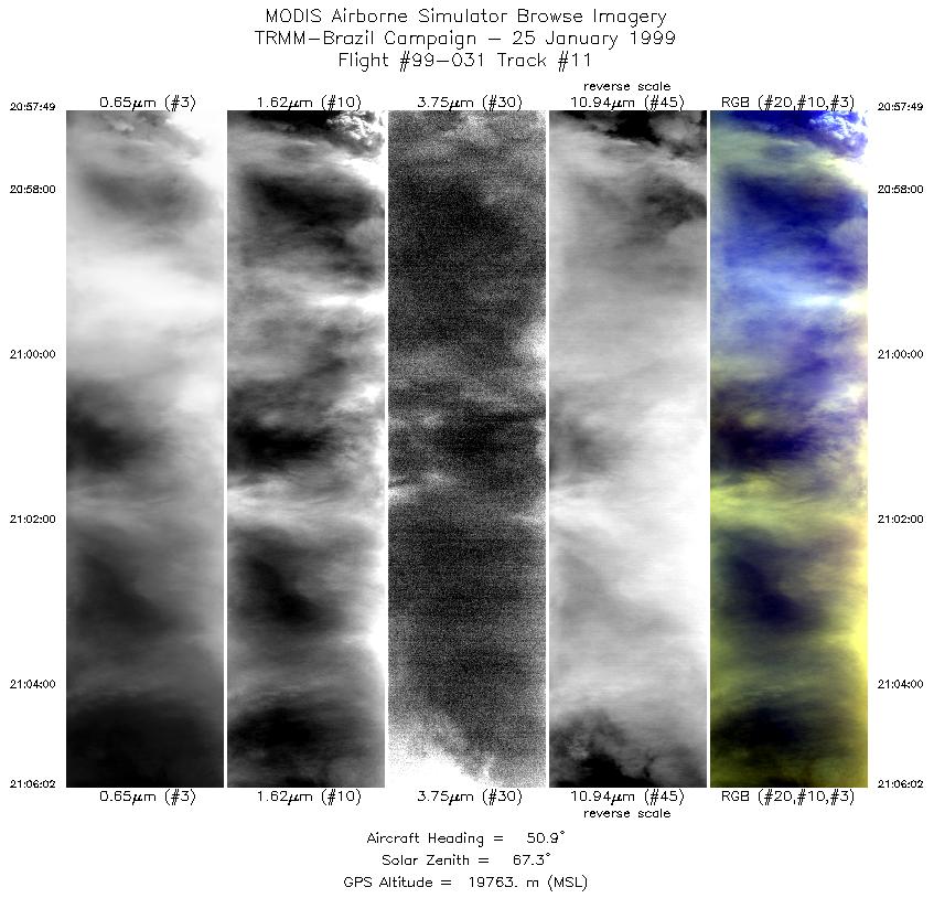
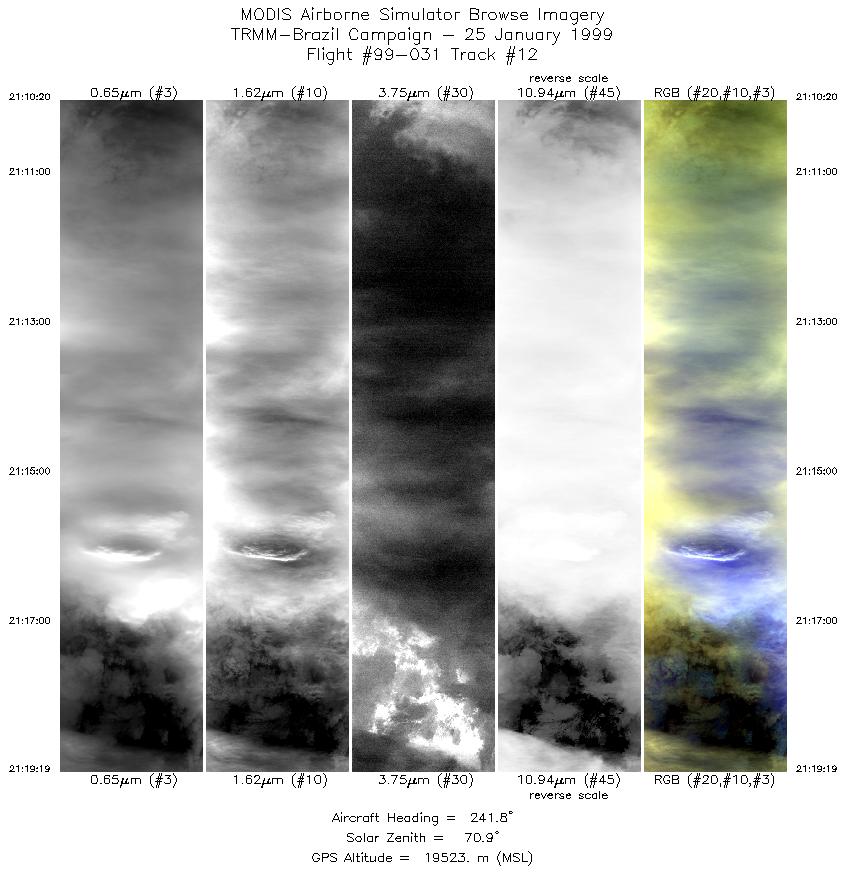
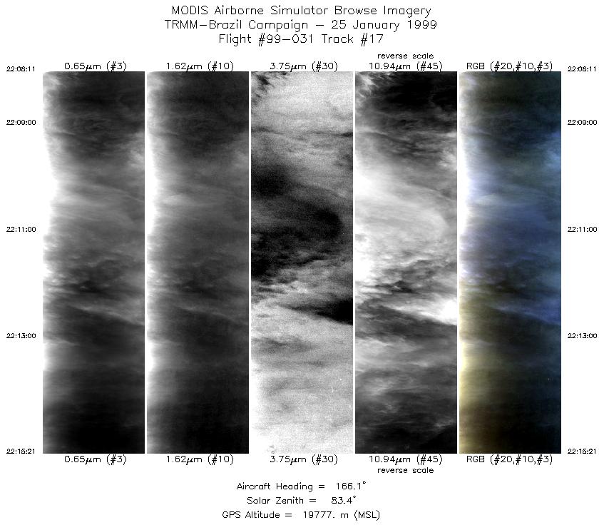
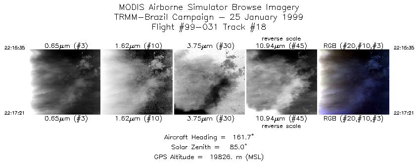
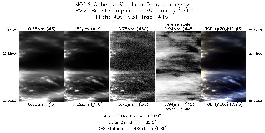
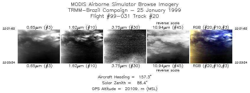
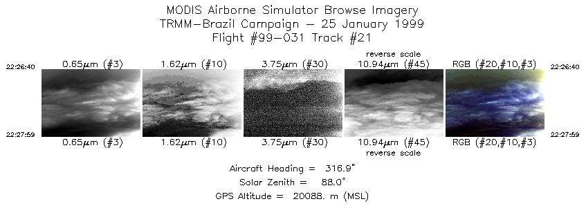
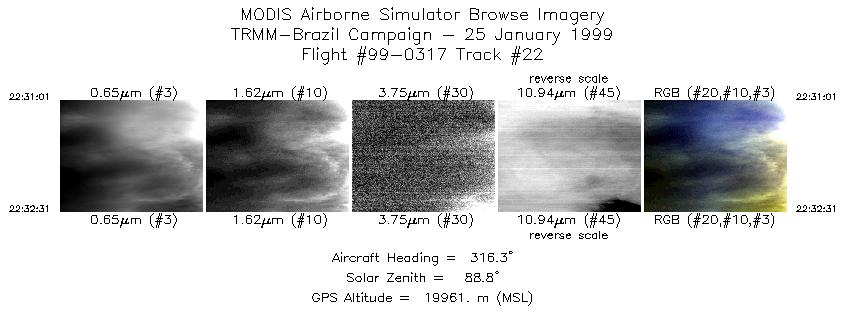
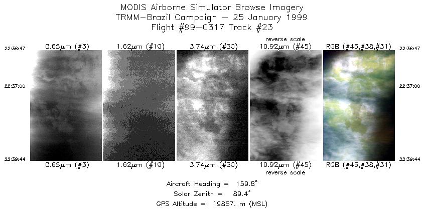
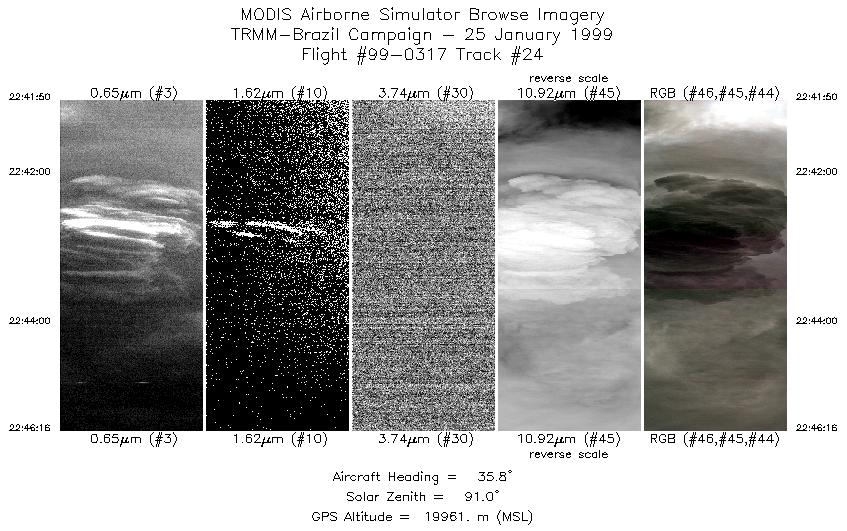
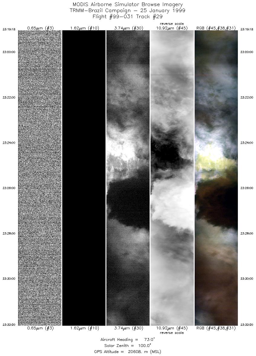
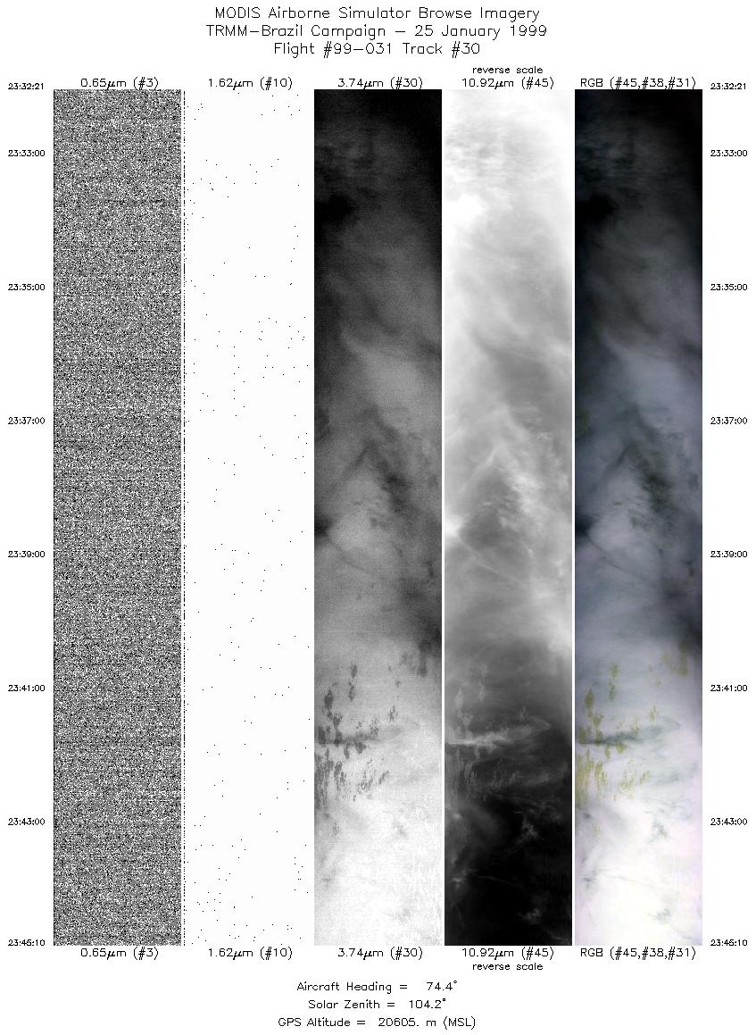
Flight: 99-031 Date: 25 January 1999 Location: Rondonia, Brazil Deployment: TRMM-LBA Principal Investigator: Guillory (MSFC) Additional Sensors: AMPR, EDOP, LIP, MIR, VIS |
||||||||||||||||||||||||||||||||||||||||||||||||||||||||||||||||||||||||||||||||||||||||||||||||||||||||||||||||||||||||||||||||||||||||||||||||||||||||||||||||||||||||||||||||||||||||||||||||||||||||||||||||||||||||||||||||||||||||||||||
|
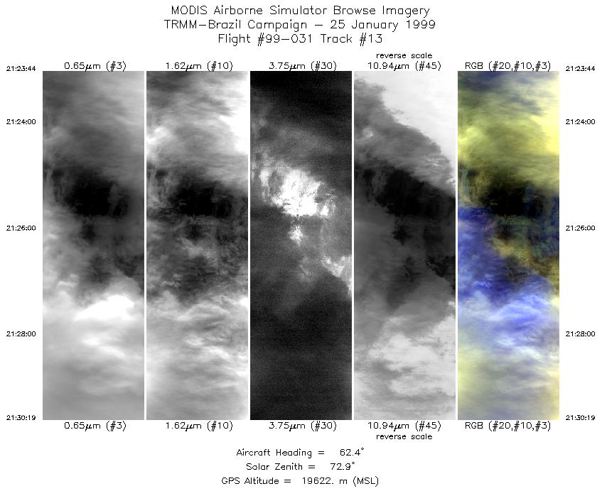
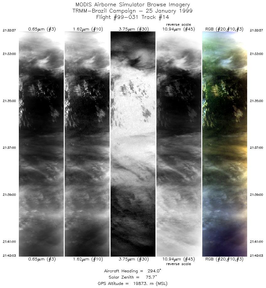
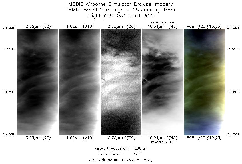
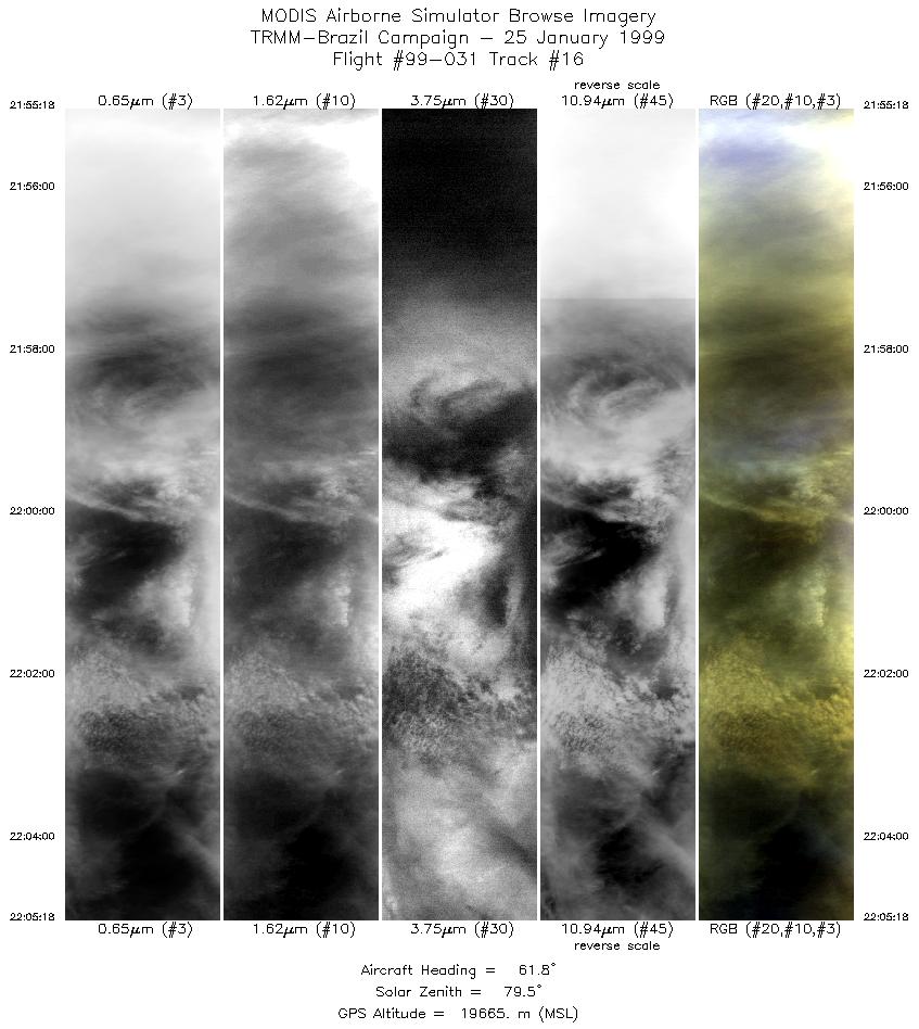
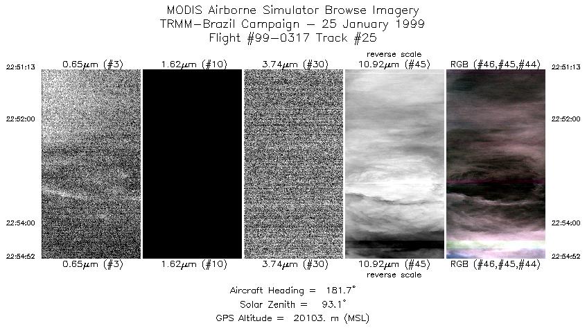
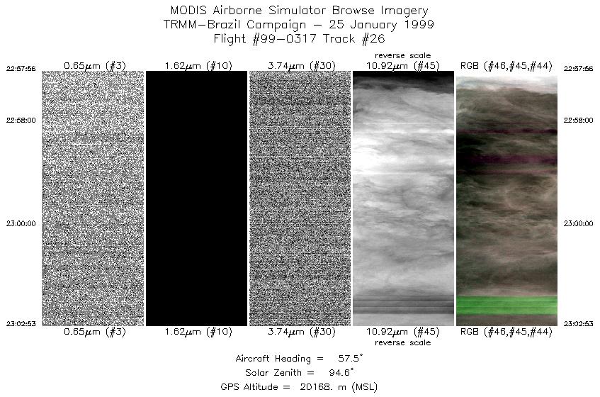
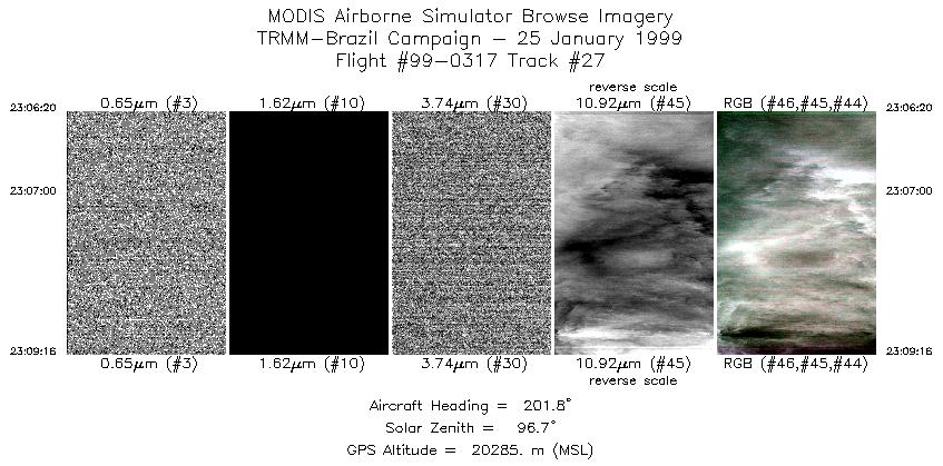
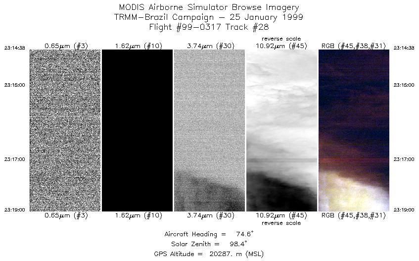
Data Evaluation Overall quality is good Channels 49 and 50 have been swapped. Very extensive but intermitent GPS navigation errors during this flight. Severe digital to analog converter (DAC) shifts during this flight, particularly evident in channel 43. Occasionally evident in channel 45. In these channels (43 and 45) BB1 was saturating at 65535, resulting washout and banding artifacts. This occured over a particularly well developed thunder storm. Cloud tops were very cold. Ambient air temps reported to be below -75 C. Dynamic range is very low in these areas and radiance values aproach 0. Also, the DAC shifts seen in channels 43 and 45 are evident in the Level-1B hdf data. |
||||||||||||||||||||||||||||||||||||||||||||||||||||||||||||||||||||||||||||||||||||||||||||||||||||||||||||||||||||||||||||||||||||||||||||||||||||||||||||||||||||||||||||||||||||||||||||||||||||||||||||||||||||||||||||||||||||||||||||||
|
Processing Information Level-1B Data in HDF format is available Flight Line Summary Spectral Band Configuration Spectral Response Function Table |
||||||||||||||||||||||||||||||||||||||||||||||||||||||||||||||||||||||||||||||||||||||||||||||||||||||||||||||||||||||||||||||||||||||||||||||||||||||||||||||||||||||||||||||||||||||||||||||||||||||||||||||||||||||||||||||||||||||||||||||
|
Browse Imagery Flight Tracks: 30 Scanlines: 62964 |
||||||||||||||||||||||||||||||||||||||||||||||||||||||||||||||||||||||||||||||||||||||||||||||||||||||||||||||||||||||||||||||||||||||||||||||||||||||||||||||||||||||||||||||||||||||||||||||||||||||||||||||||||||||||||||||||||||||||||||||
|
||||||||||||||||||||||||||||||||||||||||||||||||||||||||||||||||||||||||||||||||||||||||||||||||||||||||||||||||||||||||||||||||||||||||||||||||||||||||||||||||||||||||||||||||||||||||||||||||||||||||||||||||||||||||||||||||||||||||||||||

Flight 99-031


| Sample Imagery |
| Click image for full resolution |
|
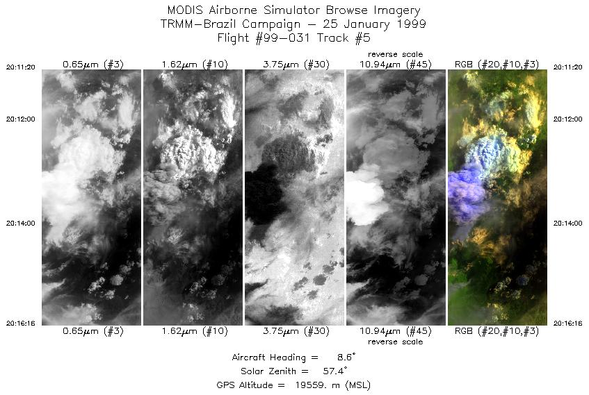
Track #5 Rondonia, Brazil |


|
|
R: 2.13µm G: 1.62µm B: 0.55µm |
| Sample Imagery |
| Click image for full resolution |
|
Track #12 Rondonia, Brazil |

|
|
R: 2.13µm G: 1.62µm B: 0.55µm |
- NASA Official: Matt Fladeland
- Project Manager: James Jacobson
- Website Editor: Eric Fraim
- Last Updated: November 16, 2021


