


MODIS Airborne Simulator (MAS)
FLIGHT SUMMARY INFORMATION
Flight Track Map


|
Flight: 99-029 Date: 23 January 1999 Location: Central Brazil Deployment: TRMM-LBA Principal Investigator: Functional Check Flight Additional Sensors: AMPR, EDOP, LIP, MIR, VIS |
|||||||||||||||||||||||||||||||||||||||||||||||||
|
Data Evaluation Overall quality is good Substantial but intermittent GPS navigation dropouts. Channels 49 and 50 have been swapped. Severe buffeting is evident in video data due to altitude changes during cycling. AC power shutdown during flight due to overheat. Aircraft never got to full altitude. AC power cycling did effect the data stream at 1152 hrs GMT. There is a continuous data stream with no reported dropped scanlines, however video data does appear to have some missing scanlines. There are erroneous roll values at this time as well. |
|||||||||||||||||||||||||||||||||||||||||||||||||
|
Processing Information Level-1B Data in HDF format is available Flight Line Summary Spectral Band Configuration Spectral Response Function Table |
|||||||||||||||||||||||||||||||||||||||||||||||||
|
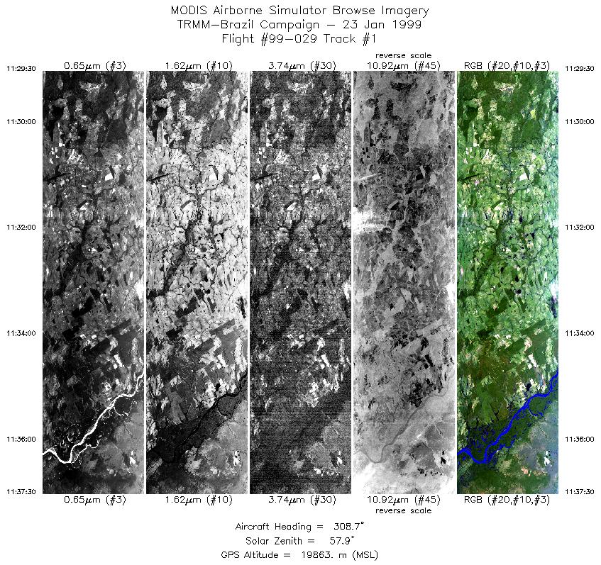
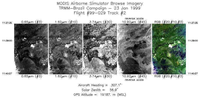
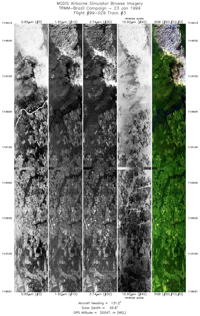
Browse Imagery Flight Tracks: 3 Scanlines: 9720 |
|||||||||||||||||||||||||||||||||||||||||||||||||
|
|||||||||||||||||||||||||||||||||||||||||||||||||

Flight 99-029


| Sample Imagery |
| Click image for full resolution |
|
Track #1 Rondonia, Brazil |


|
|
R: 2.13µm G: 1.62µm B: 0.55µm |
- NASA Official: Matt Fladeland
- Project Manager: James Jacobson
- Website Editor: Eric Fraim
- Last Updated: November 16, 2021


