


MODIS Airborne Simulator (MAS)
FLIGHT SUMMARY INFORMATION
Flight Track Map


|
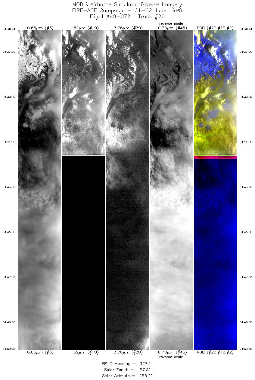
Flight: 98-072 Date: 1 June 1998 Location: California to Alaska Deployment: FIRE-ACE Principal Investigator: King (NASA GSFC) Additional Sensors: AirMISR, AMPR, CLS, MIR, HIS, SSFR |
||||||||||||||||||||||||||||||||||||||||||||||||||||||||||||||||||||||||||||||||||||||||||||||||||||||||||||||||||||||||||||||||||||||||||||||||||||||||||||||||||||||||
|
Data Evaluation Overall quality is good Band 10 died near the end of flight |
||||||||||||||||||||||||||||||||||||||||||||||||||||||||||||||||||||||||||||||||||||||||||||||||||||||||||||||||||||||||||||||||||||||||||||||||||||||||||||||||||||||||
|
Processing Information Level-1B Data in HDF format is available Flight Line Summary Spectral Band Configuration Spectral Response Function Table |
||||||||||||||||||||||||||||||||||||||||||||||||||||||||||||||||||||||||||||||||||||||||||||||||||||||||||||||||||||||||||||||||||||||||||||||||||||||||||||||||||||||||
|
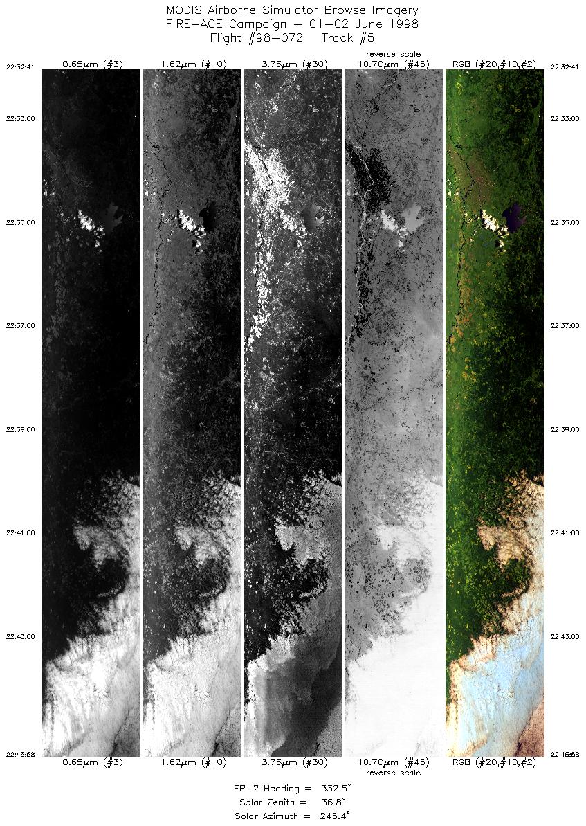
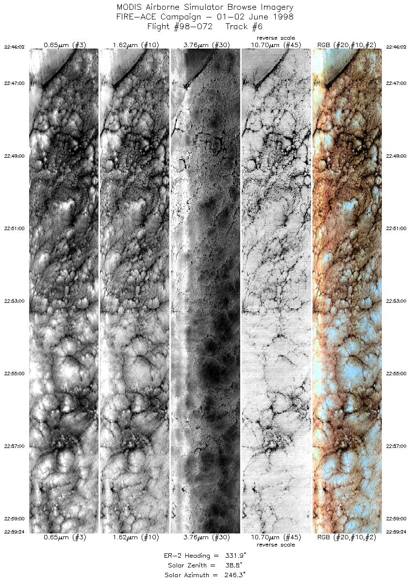
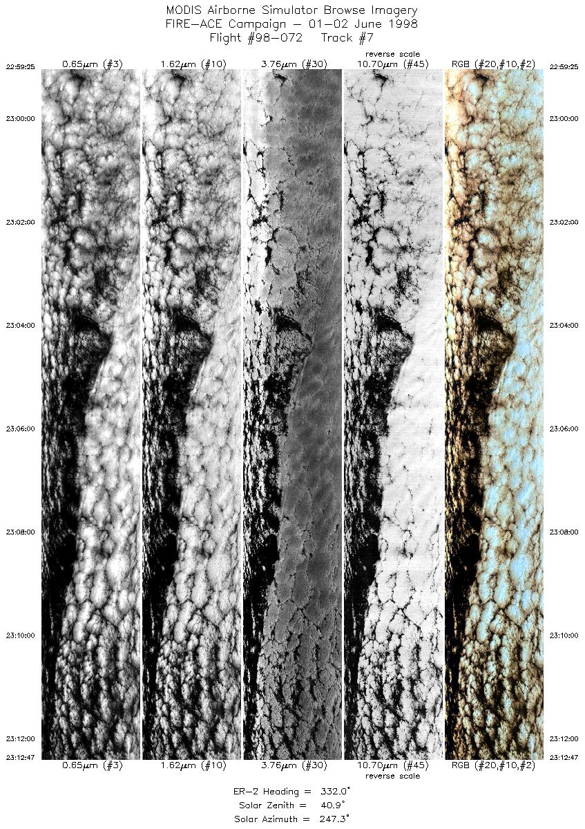
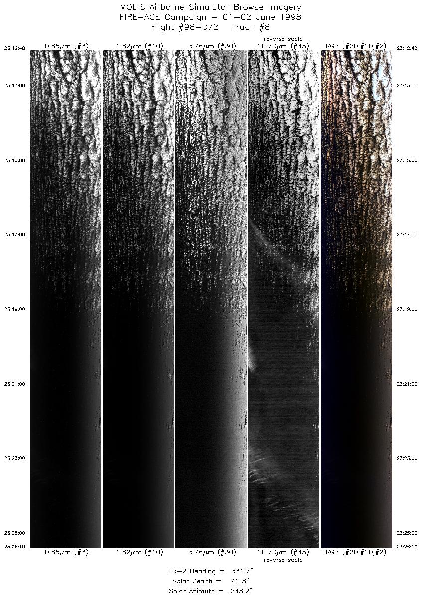
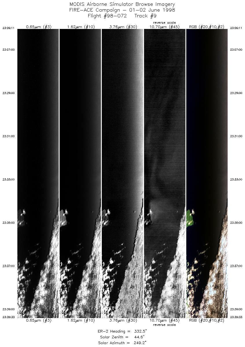
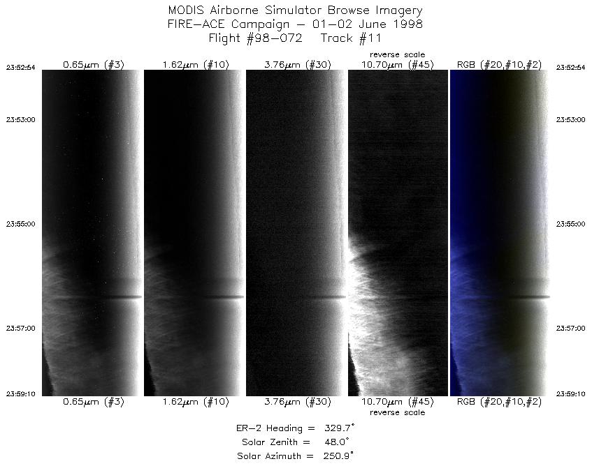
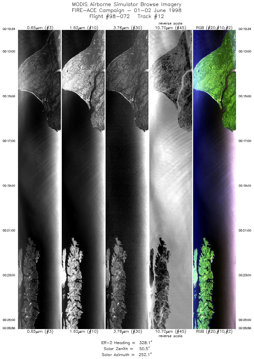
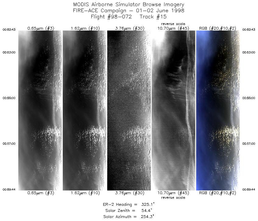
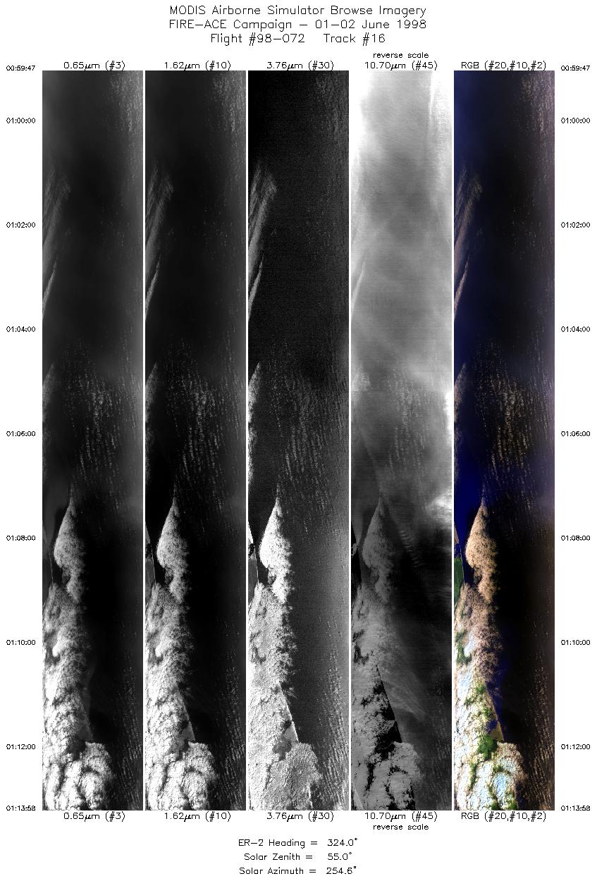
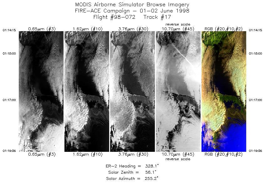
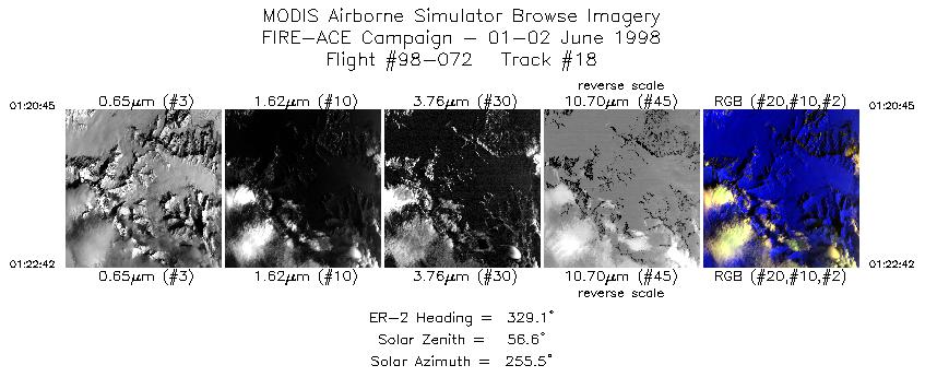
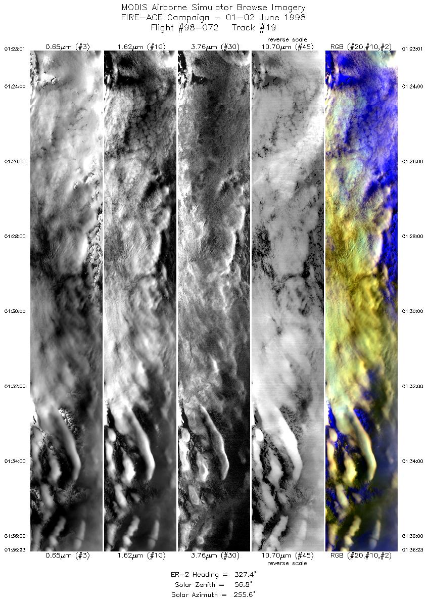
Browse Imagery Flight Tracks: 20 Scanlines: 88041 |
||||||||||||||||||||||||||||||||||||||||||||||||||||||||||||||||||||||||||||||||||||||||||||||||||||||||||||||||||||||||||||||||||||||||||||||||||||||||||||||||||||||||
|
||||||||||||||||||||||||||||||||||||||||||||||||||||||||||||||||||||||||||||||||||||||||||||||||||||||||||||||||||||||||||||||||||||||||||||||||||||||||||||||||||||||||
|
Flight Summary Report Author: N/A Mission Scientist: N/A ER-2 Pilot: N/A Takeoff: 2103 (UTC) Landing: 0221 (UTC) Duration: 5:18 (h:mm) Objective and Summary:
Pilot Report:
Instrument Status:
|
||||||||||||||||||||||||||||||||||||||||||||||||||||||||||||||||||||||||||||||||||||||||||||||||||||||||||||||||||||||||||||||||||||||||||||||||||||||||||||||||||||||||

Flight 98-072


| Sample Imagery |
| Click image for full resolution |
|
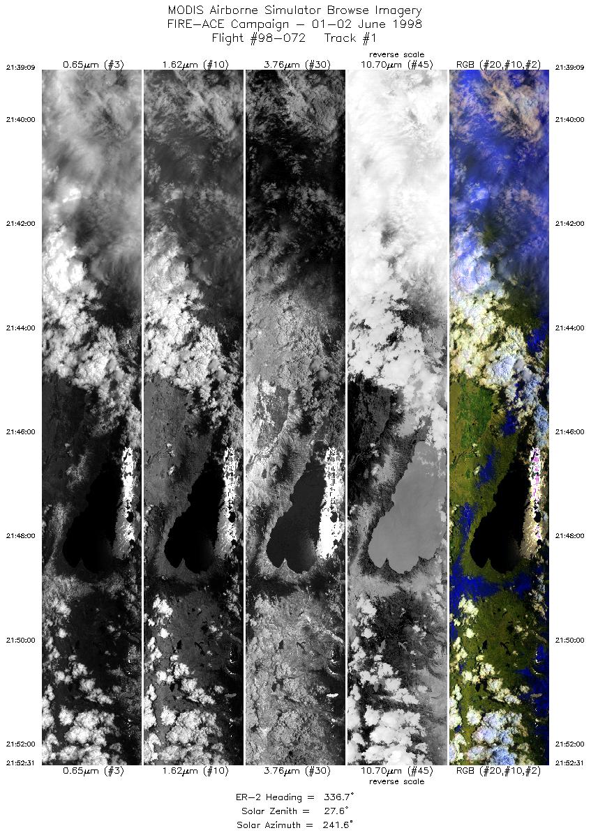
Track #1 Lake Tahoe, CA |


|
|
R: 2.13µm G: 0.95µm B: 0.65µm |
| Sample Imagery |
| Click image for full resolution |
|
Track #20 Wrangle Mountains, AK |

|
|
R: 2.13µm G: 0.95µm B: 0.65µm |
- NASA Official: Matt Fladeland
- Project Manager: James Jacobson
- Website Editor: Eric Fraim
- Last Updated: November 16, 2021


