


MODIS Airborne Simulator (MAS)
FLIGHT SUMMARY INFORMATION


|
Flight: 03-920 Date: 07 December 2002 Location: Texas / Oklahoma Deployment: TX-2002 Principal Investigators: Drs. Paul Menzel & Chris Moeller (UWISC) Additional Sensors: CPL, MVIS, RC-10 (dual), SHIS, VIS |
|||||||||||||||||||||||||||||||||||||||||||||||||||||||||||||||||||||||||||||||||||||||||||||||||||||||||
|
Data Evaluation Overall quality is good AQUA Underflight @19:43 |
|||||||||||||||||||||||||||||||||||||||||||||||||||||||||||||||||||||||||||||||||||||||||||||||||||||||||
|
Processing Information Level-1B Data in HDF format is available Flight Line Summary Spectral Band Configuration Spectral Response Function Table |
|||||||||||||||||||||||||||||||||||||||||||||||||||||||||||||||||||||||||||||||||||||||||||||||||||||||||
|
Browse Imagery Flight Tracks: 11 Scanlines: 59054 |
|||||||||||||||||||||||||||||||||||||||||||||||||||||||||||||||||||||||||||||||||||||||||||||||||||||||||
|
|||||||||||||||||||||||||||||||||||||||||||||||||||||||||||||||||||||||||||||||||||||||||||||||||||||||||
|
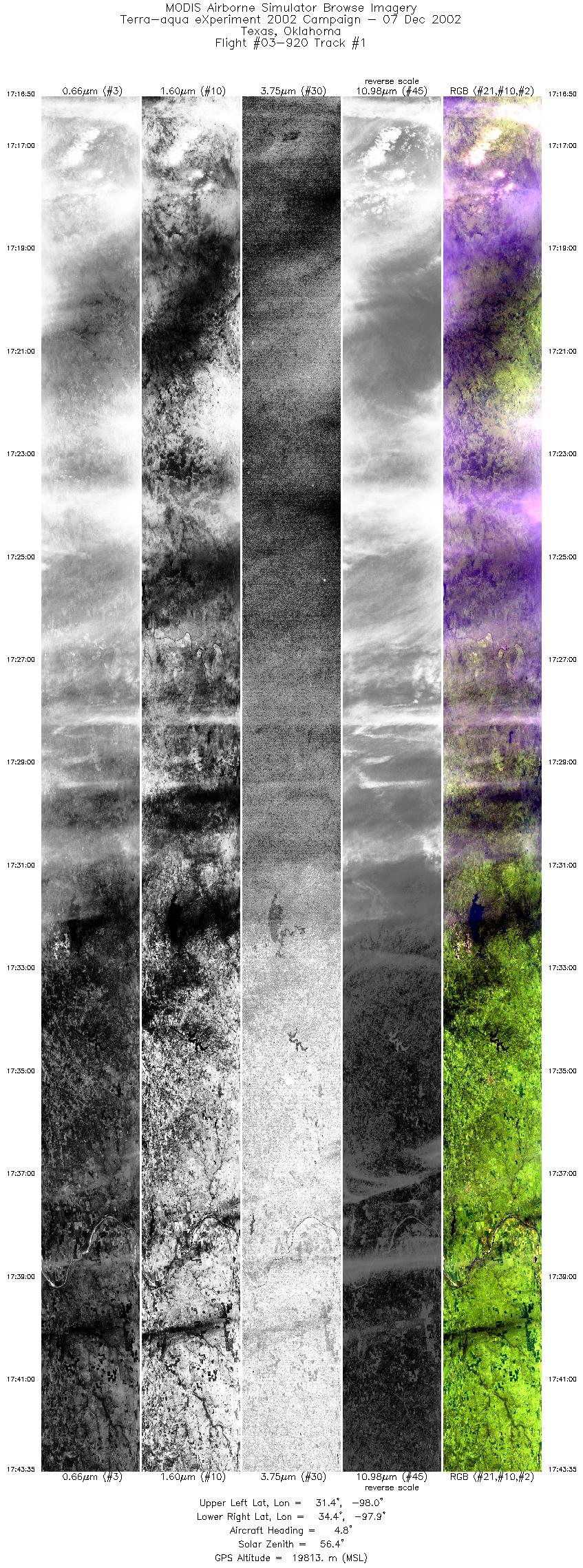
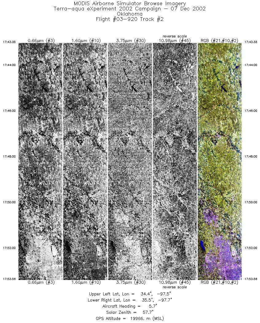
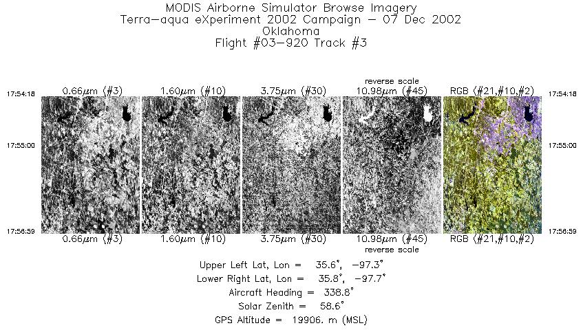
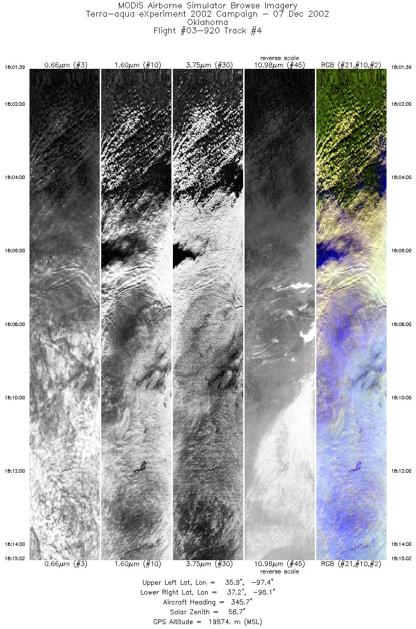
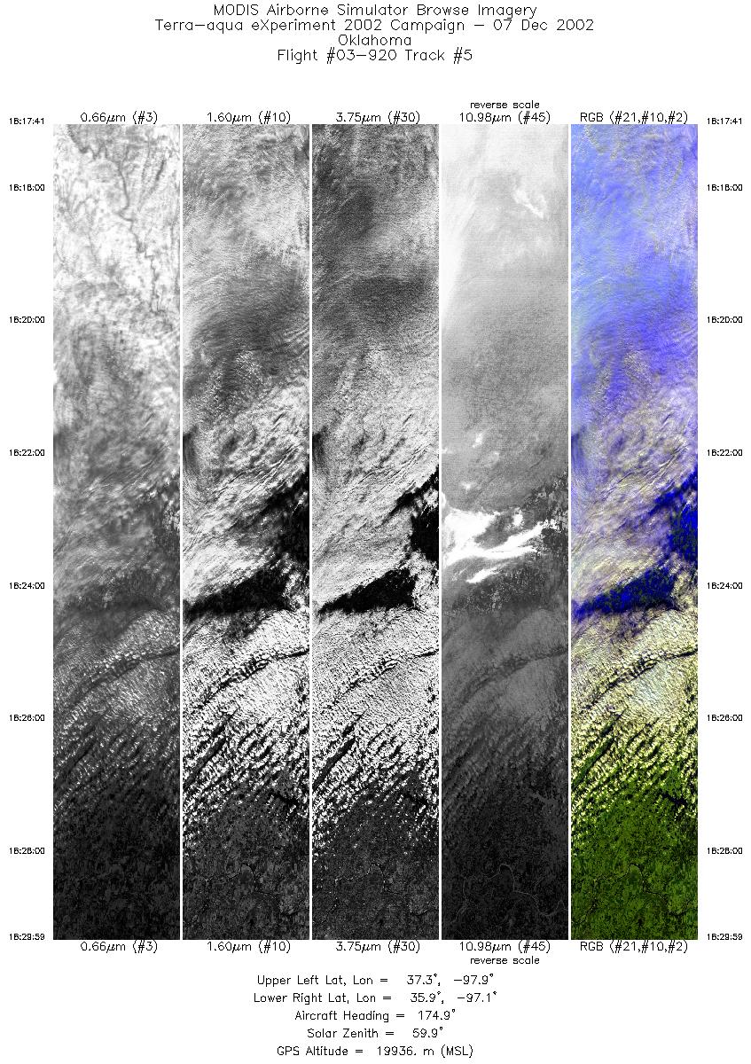
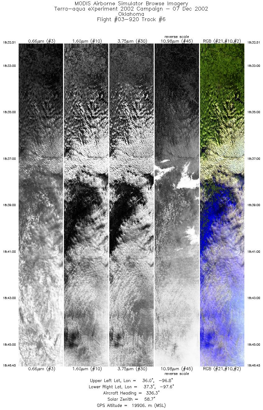
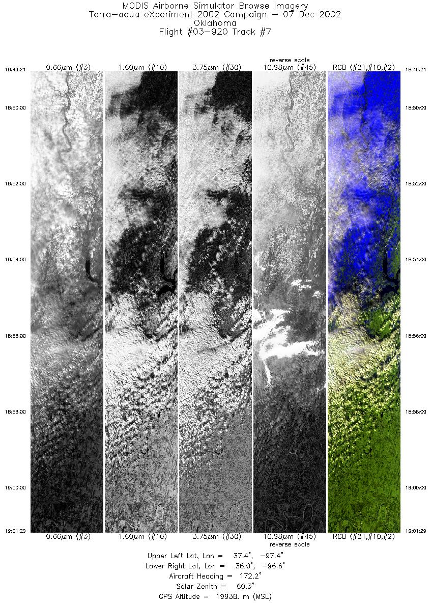
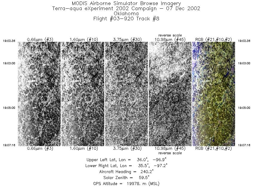
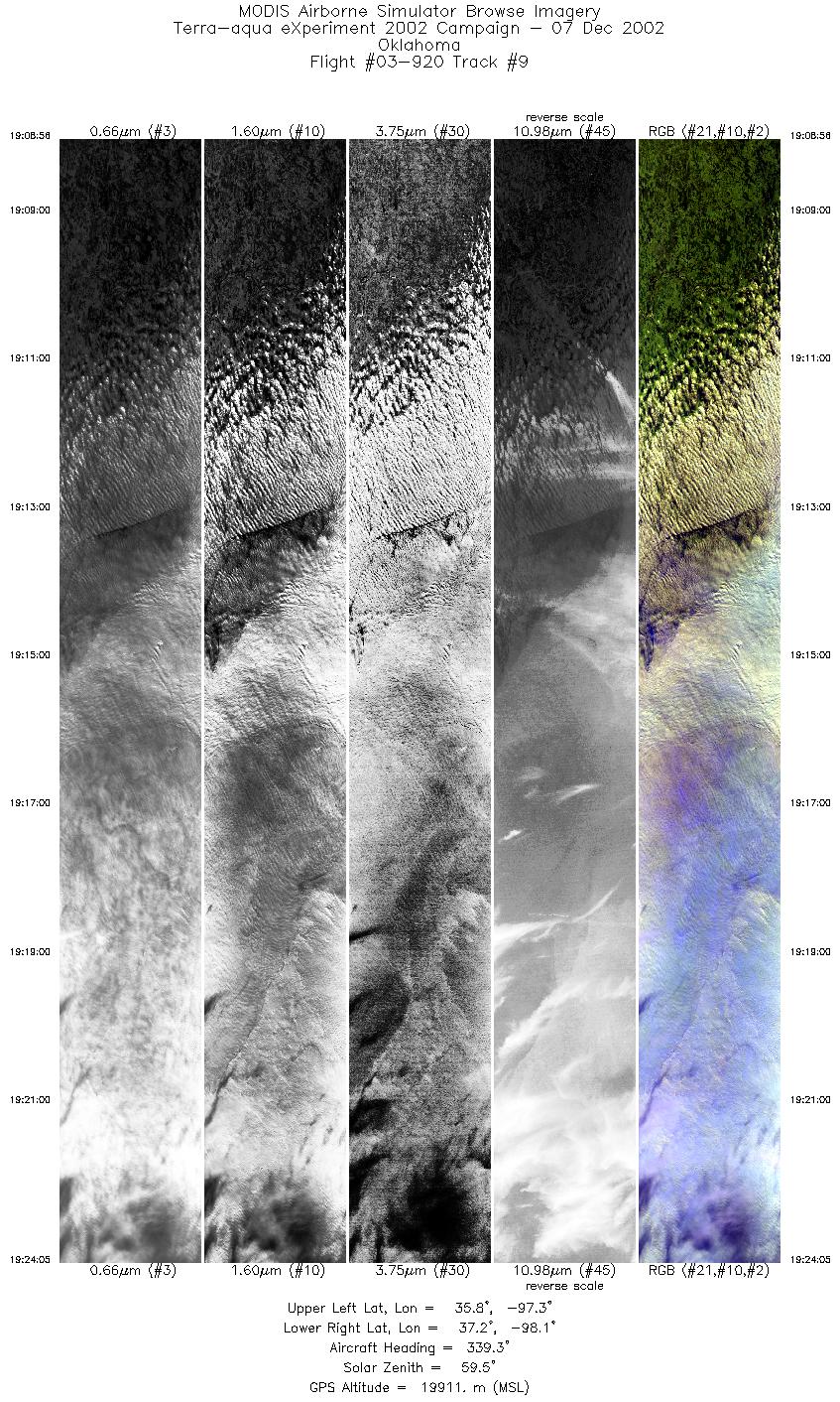
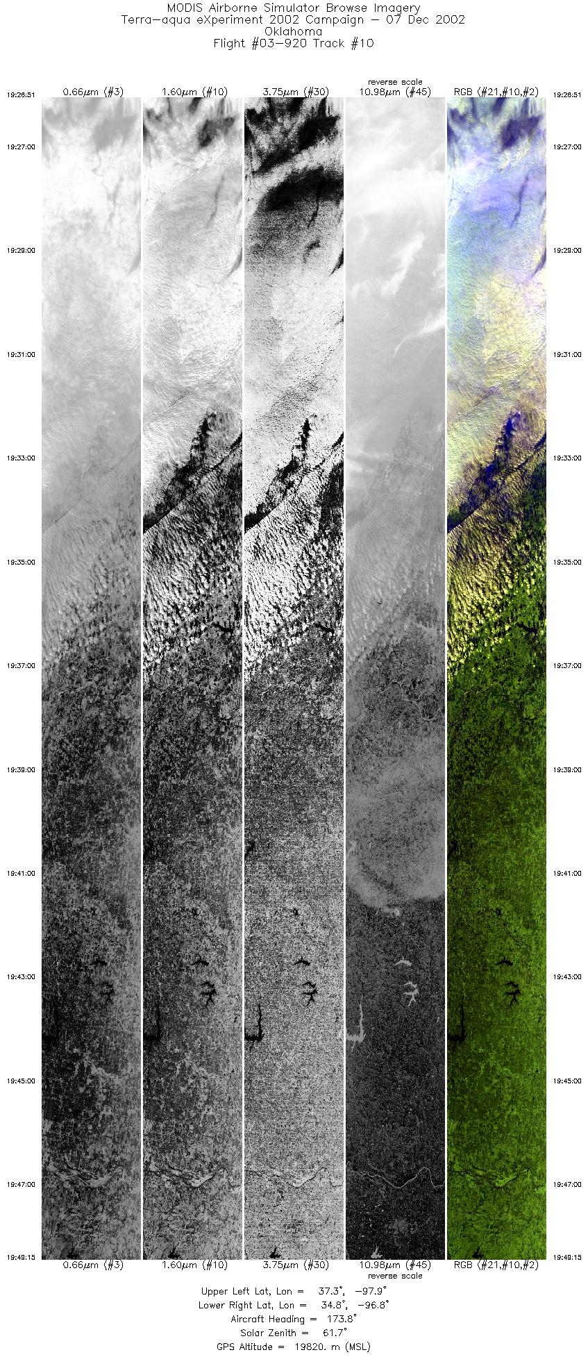
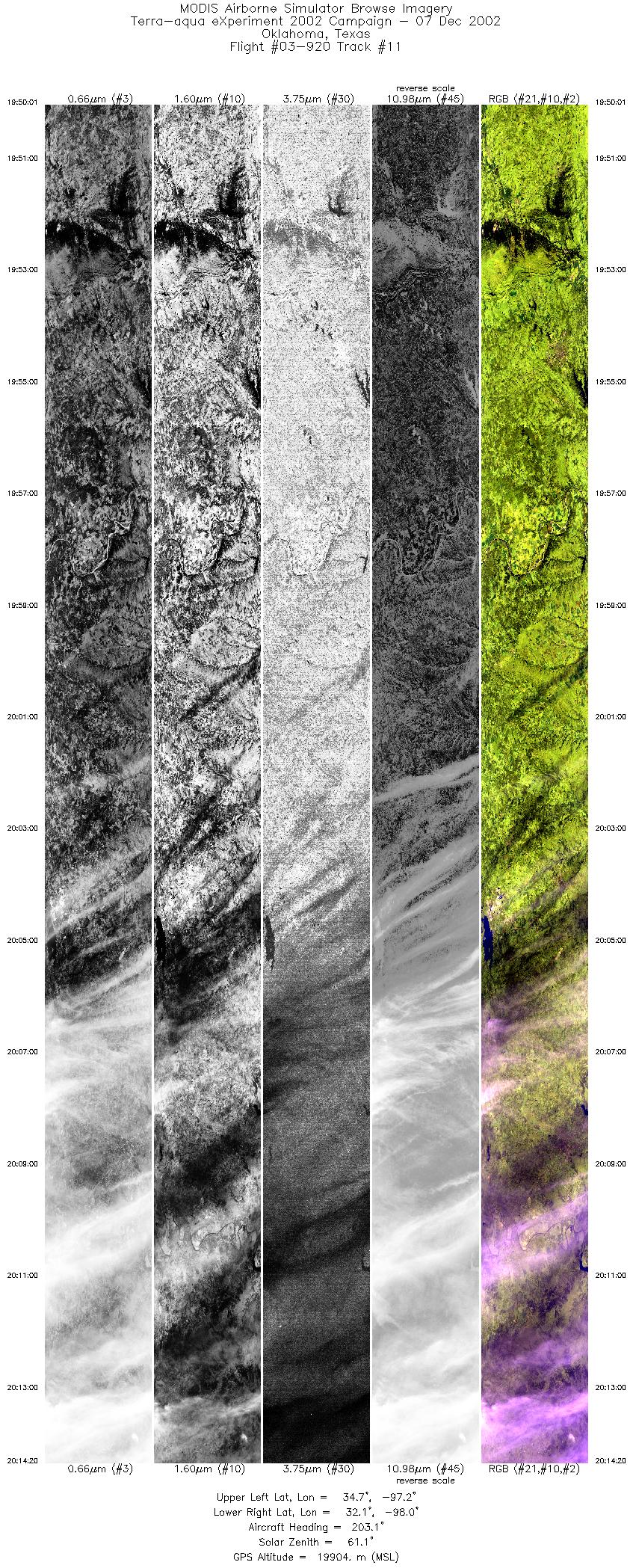
Flight Summary Report Mission Objectives Collect clear scenes over snowcover, low cloud over snowcover, thin cirrus over snowcover to assess Aqua cloud mask and cloud product performance under these conditions. Collect co-incident uplooking and downlooking lidar over ARM SGP for cloud studies. Flight SummaryTake-off at 1655 UTC. ER-2 landed at 2110 UTC. ER-2 flew north from SAT to N. OK to begin flying 4 parallel line (12 min lines) sequence at SW corner (all lines parallel to Aqua orbital track w/12 nm spacing). SGP Central Facility (CF) positioned at middle of 2nd line (first overflight at ~1824 UTC). Skies cloudy with cirrus on transit through TX, then clearing in central OK before becoming cloudy with low stratus on data lines (90% coverage with low stratus; some clear sky at very southern end). Low stratus had almost entirely covered snowcover region in N. OK. Surface features at times visible through thin low stratus in MAS imagery (e.g. 1918 UTC). Occasional cirrus filament above the low stratus. Flew all 4 lines on 1st sequence, went back to start point and began 2nd sequence, flying the first and 2nd lines overflying the CF at 1933 UTC (10 minutes before Aqua). Pilot extended 2nd line southward along Aqua orbital track into central OK where there was single layer thin cirrus and clear sky for Aqua overpass at 1943 UTC. Flew in clear sky for about 6 minutes after Aqua overpass (1943-49 UTC). Then adjusted course and returned to SAT, overflying thin and thick cirrus in TX. HighlightsSingle layer thin cirrus w/Aqua. Clear sky w/Aqua in central OK. Well defined multilayer cloud (ice over water) near Aqua overpass time. Instrument Status
Surface obscured on 90% of data legs. No observations of snowcover. No turbulence. Wave structure to stratus cloud.  |
|||||||||||||||||||||||||||||||||||||||||||||||||||||||||||||||||||||||||||||||||||||||||||||||||||||||||

Flight 03-920


| Sample Imagery |
| Click image for full resolution |
|
Track #10 Oklahoma CART Site |


|
|
R: 2.15µm G: 1.64µm B: 0.55µm |
- NASA Official: Matt Fladeland
- Project Manager: James Jacobson
- Website Editor: Eric Fraim
- Last Updated: November 16, 2021


