


MODIS Airborne Simulator (MAS)
FLIGHT SUMMARY INFORMATION


|
Flight: 03-919 Date: 06 December 2002 Location: Texas / Gulf of Mexico (night) Deployment: TX-2002 Principal Investigators: Drs. Paul Menzel & Chris Moeller (UWISC) Additional Sensors: CPL, SHIS |
|||||||||||||||||||||||||||||||||||||||||||||||||||||||||||||||||||||||||||||||||||||||||||
|
Data Evaluation Overall quality is good AQUA Underflight @07:59 |
|||||||||||||||||||||||||||||||||||||||||||||||||||||||||||||||||||||||||||||||||||||||||||
|
Processing Information Level-1B Data in HDF format is available Flight Line Summary Spectral Band Configuration Spectral Response Function Table |
|||||||||||||||||||||||||||||||||||||||||||||||||||||||||||||||||||||||||||||||||||||||||||
|
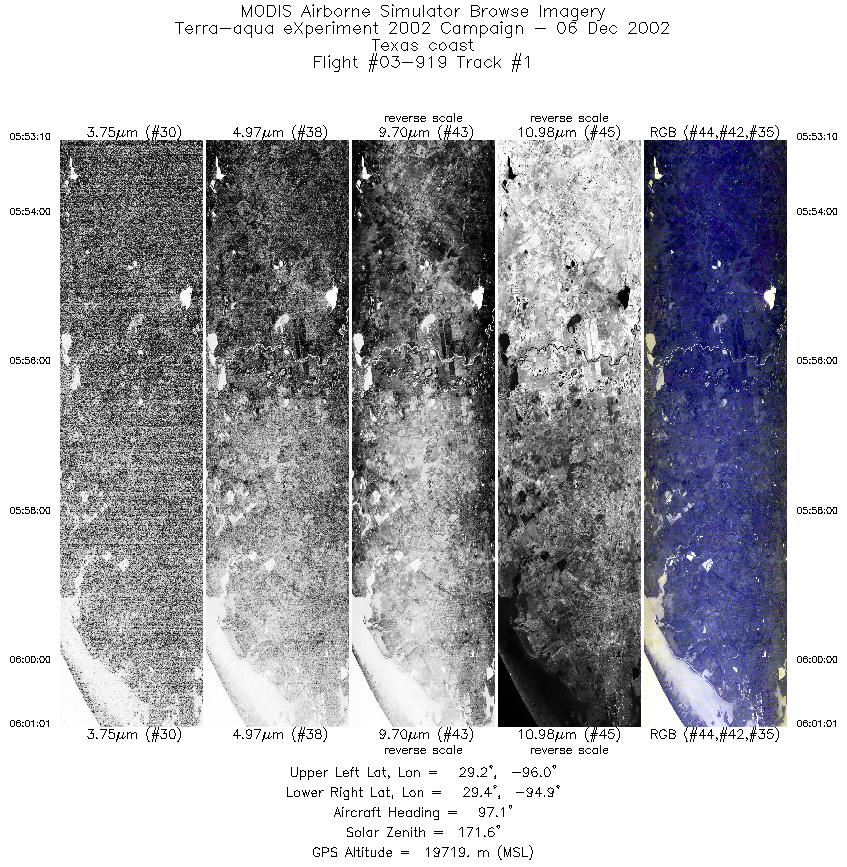
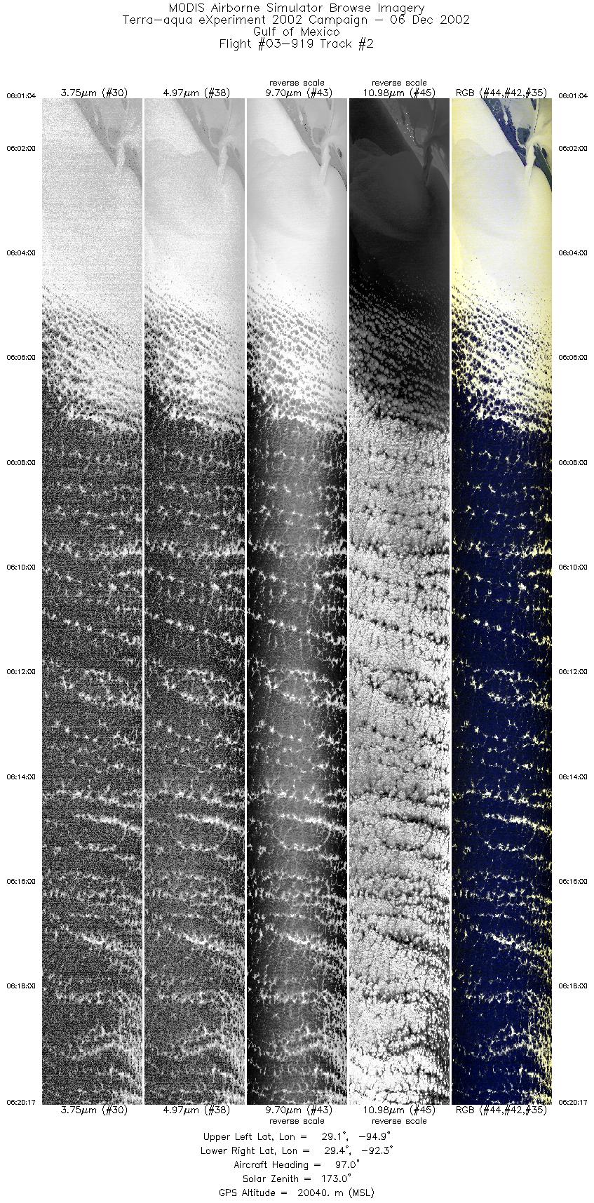
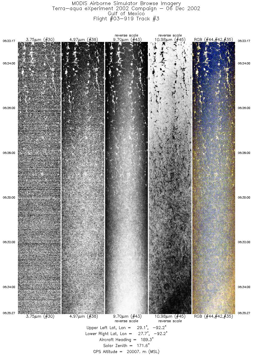
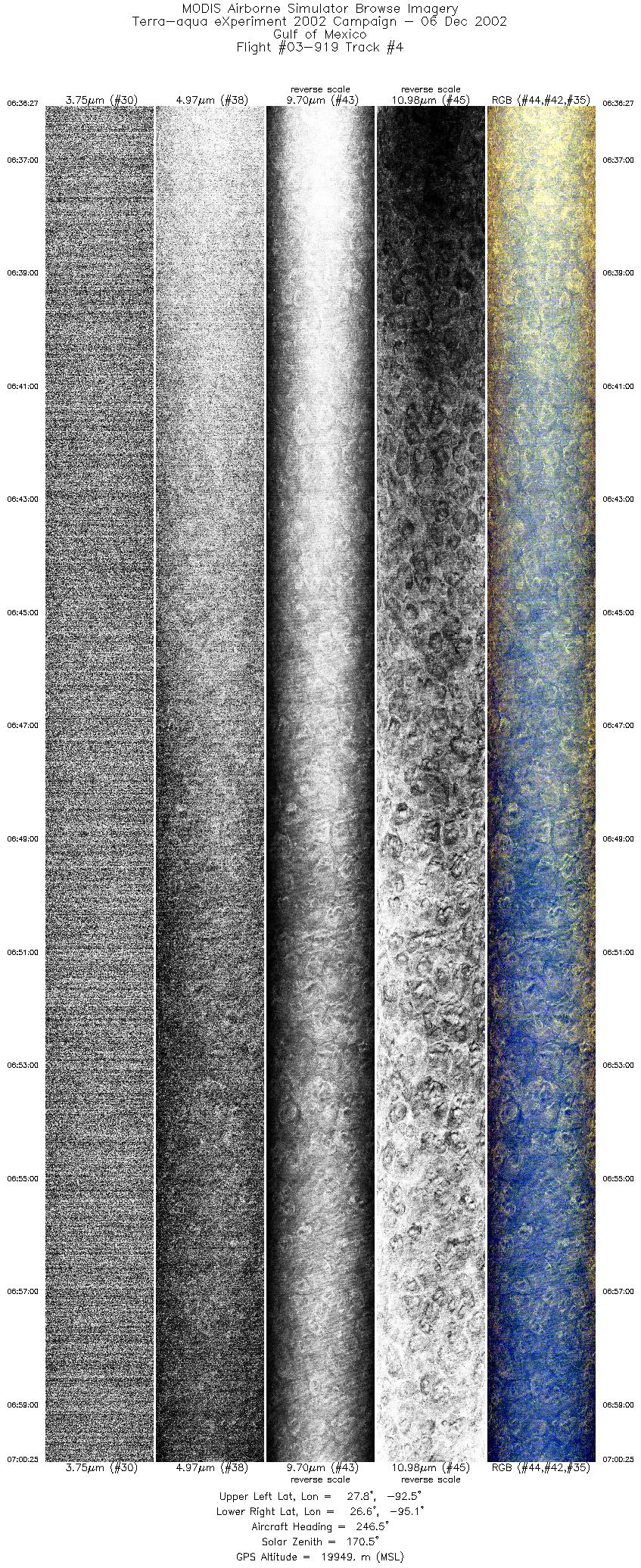
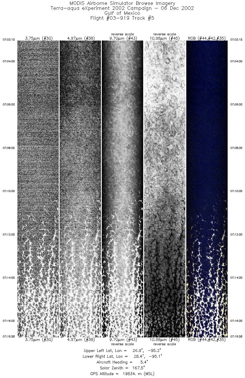
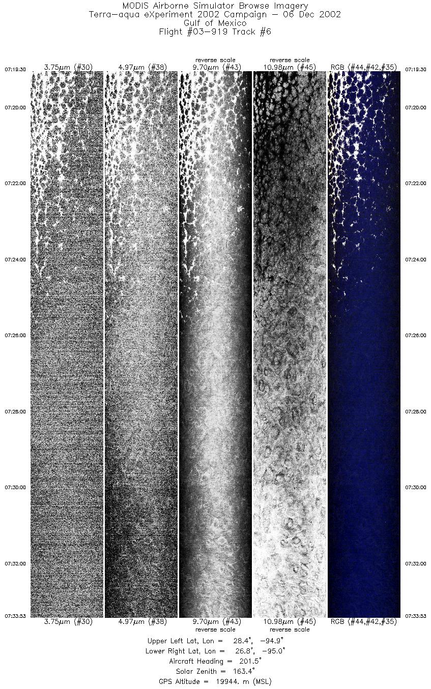
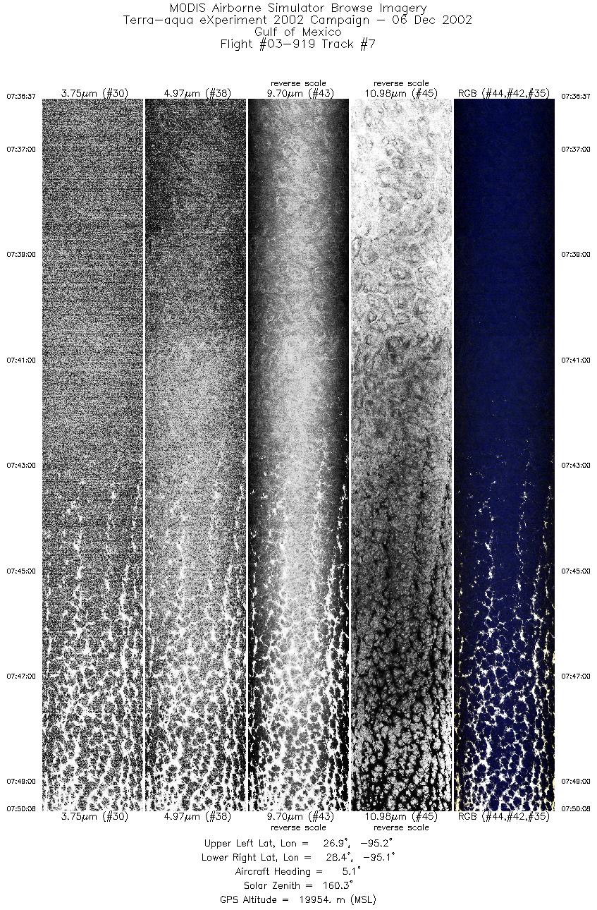
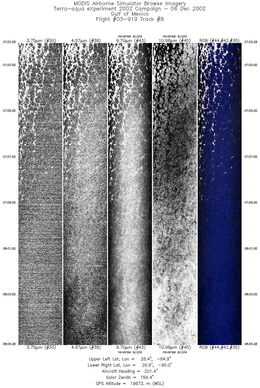
Browse Imagery Flight Tracks: 9 Scanlines: 50461 |
|||||||||||||||||||||||||||||||||||||||||||||||||||||||||||||||||||||||||||||||||||||||||||
|
|||||||||||||||||||||||||||||||||||||||||||||||||||||||||||||||||||||||||||||||||||||||||||
|
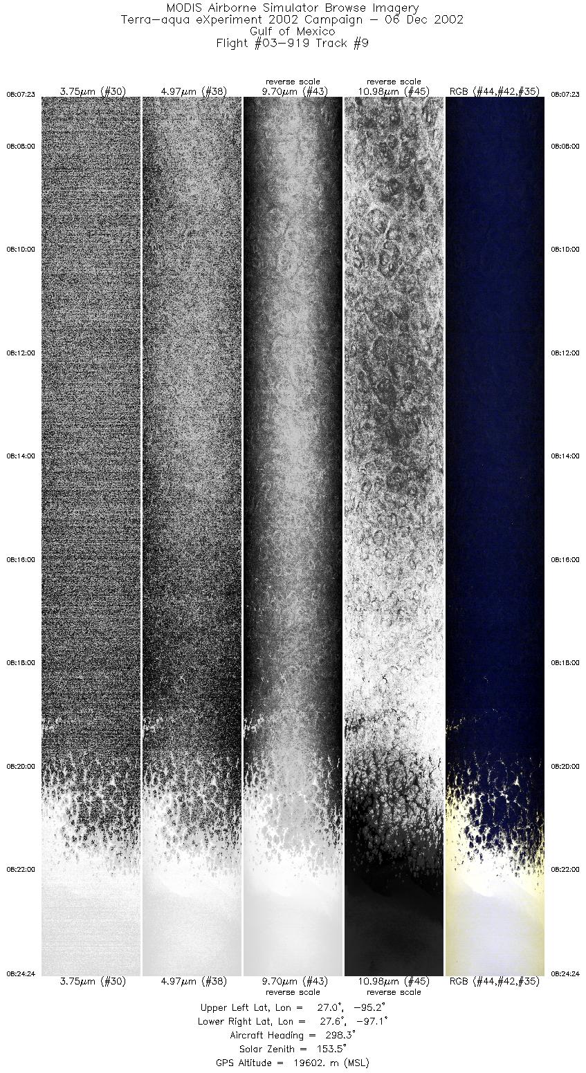
Flight Summary Report Mission Objectives Collect nighttime low level stratus scenes for validating Aqua MODIS Cloud Mask and L1B. Flight SummaryTake-off at 0530 UTC. ER-2 landed at 0905 UTC. ER-2 flew east from SAT to Aqua suborbital track south of Louisiana coast, reaching there about 90 minutes before Aqua overpass. Flew a 12 minute leg towards SSW along Aqua suborbital track with low stratus undercast along entire line. Then proceeded west to racetrack pattern (12 minute legs) oriented parallel to Aqua orbital track (22 deg offnadir view from Aqua). Did two orbits of racetrack, meeting Aqua (0759 UTC) on easternmost leg of 2nd orbit. Single layer low stratus undercast present on both legs of both orbits, except for the northern 10% which was cloud free. ER-2 then returned to SAT. HighlightsNighttime low level stratus coverage over water background w/Aqua overpass. Instrument Status
Extended the racetrack lines by about 2 minutes (i.e. 12 minute legs became 16 minut e legs) at each end to time meeting the Aqua satellite as planned.  |
|||||||||||||||||||||||||||||||||||||||||||||||||||||||||||||||||||||||||||||||||||||||||||

Flight 03-919


| Sample Imagery |
| Click image for full resolution |
|
Track #02 Gulf of Mexico (Southeast of Texas) |


|
|
R: 11.01µm G: 8.54µm B: 3.74µm |
- NASA Official: Matt Fladeland
- Project Manager: James Jacobson
- Website Editor: Eric Fraim
- Last Updated: November 16, 2021


