


MODIS Airborne Simulator (MAS)
FLIGHT SUMMARY INFORMATION


|
Flight: 03-918 Date: 29 November 2002 Location: Texas / Oklahoma Deployment: TX-2002 Principal Investigators: Drs. Paul Menzel & Chris Moeller (UWISC) Additional Sensors: CPL, MVIS, RC-10 (dual), SHIS, VIS |
||||||||||||||||||||||||||||||||||||||||||||||||||||||||||||||||||||||||||||||||||||||||||||||||||
|
Data Evaluation Overall quality is good TERRA Underflight @17:20 |
||||||||||||||||||||||||||||||||||||||||||||||||||||||||||||||||||||||||||||||||||||||||||||||||||
|
Processing Information Level-1B Data in HDF format is available Flight Line Summary Spectral Band Configuration Spectral Response Function Table |
||||||||||||||||||||||||||||||||||||||||||||||||||||||||||||||||||||||||||||||||||||||||||||||||||
|
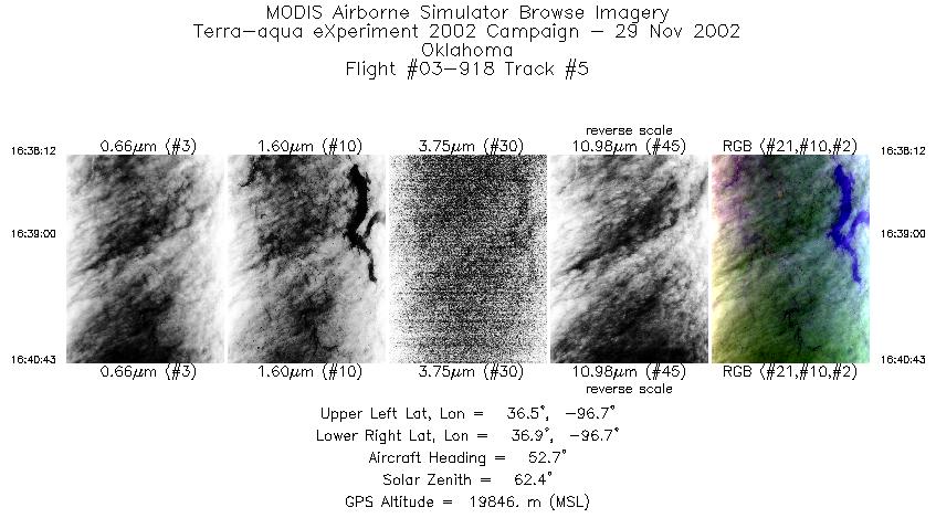
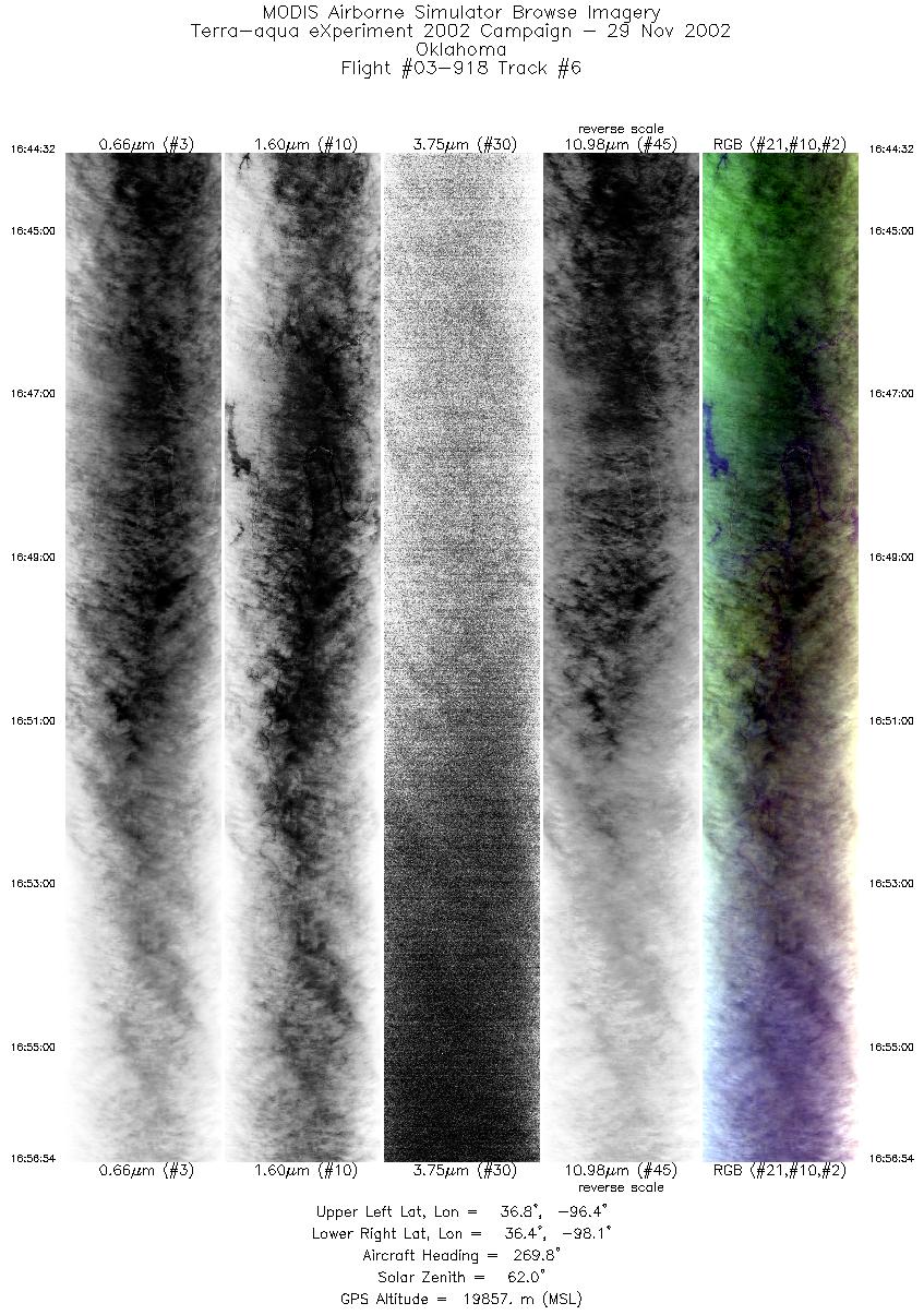
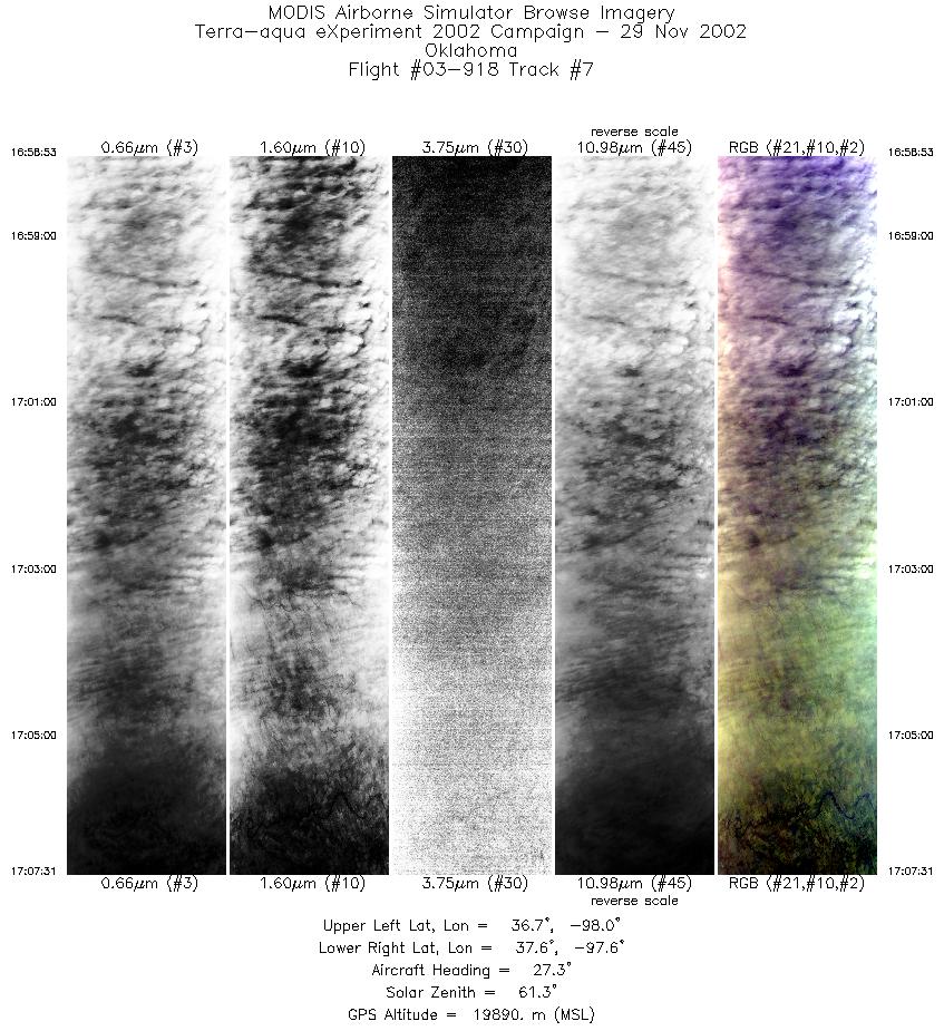
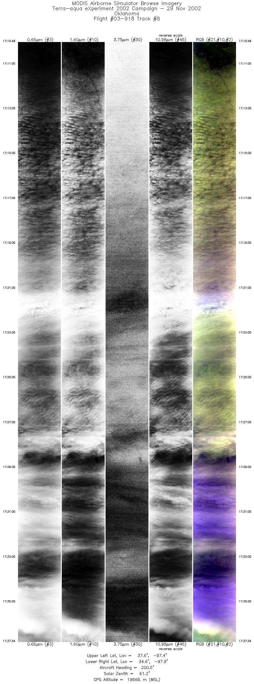
Browse Imagery Flight Tracks: 10 Scanlines: 63907 |
||||||||||||||||||||||||||||||||||||||||||||||||||||||||||||||||||||||||||||||||||||||||||||||||||
|
||||||||||||||||||||||||||||||||||||||||||||||||||||||||||||||||||||||||||||||||||||||||||||||||||
|
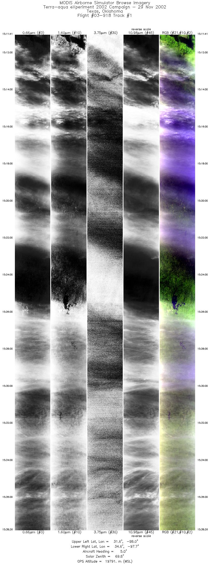
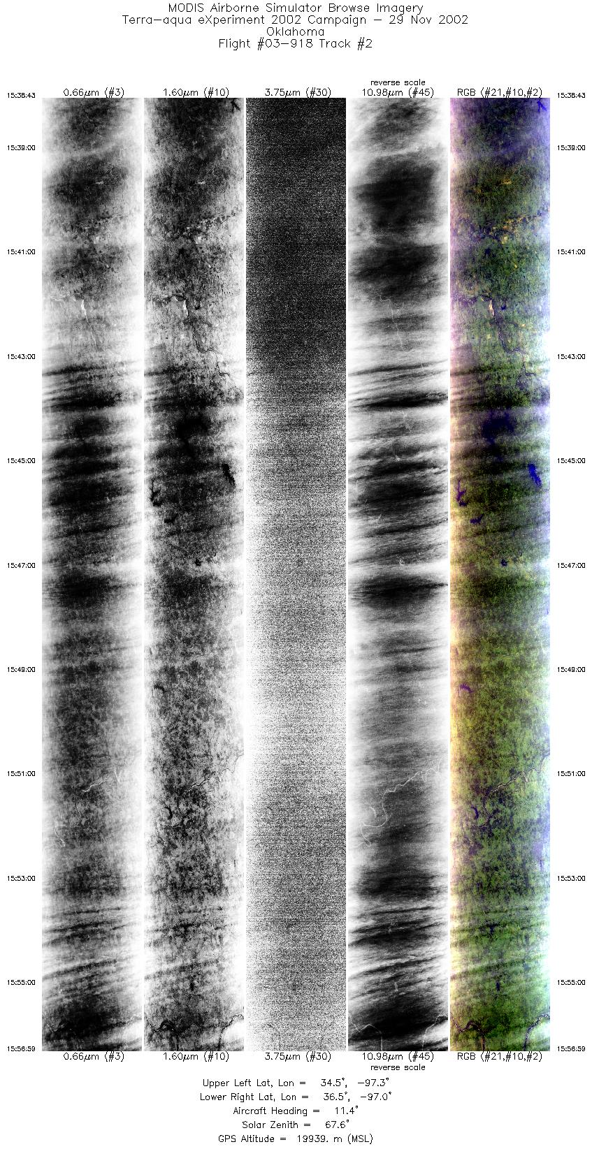
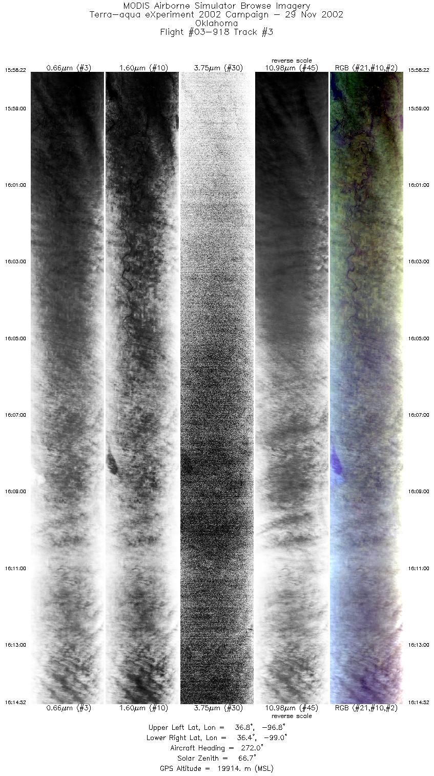
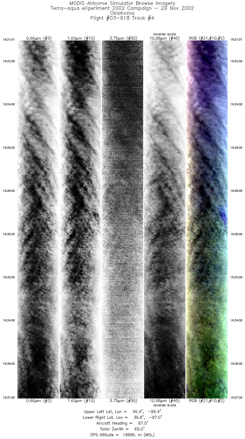
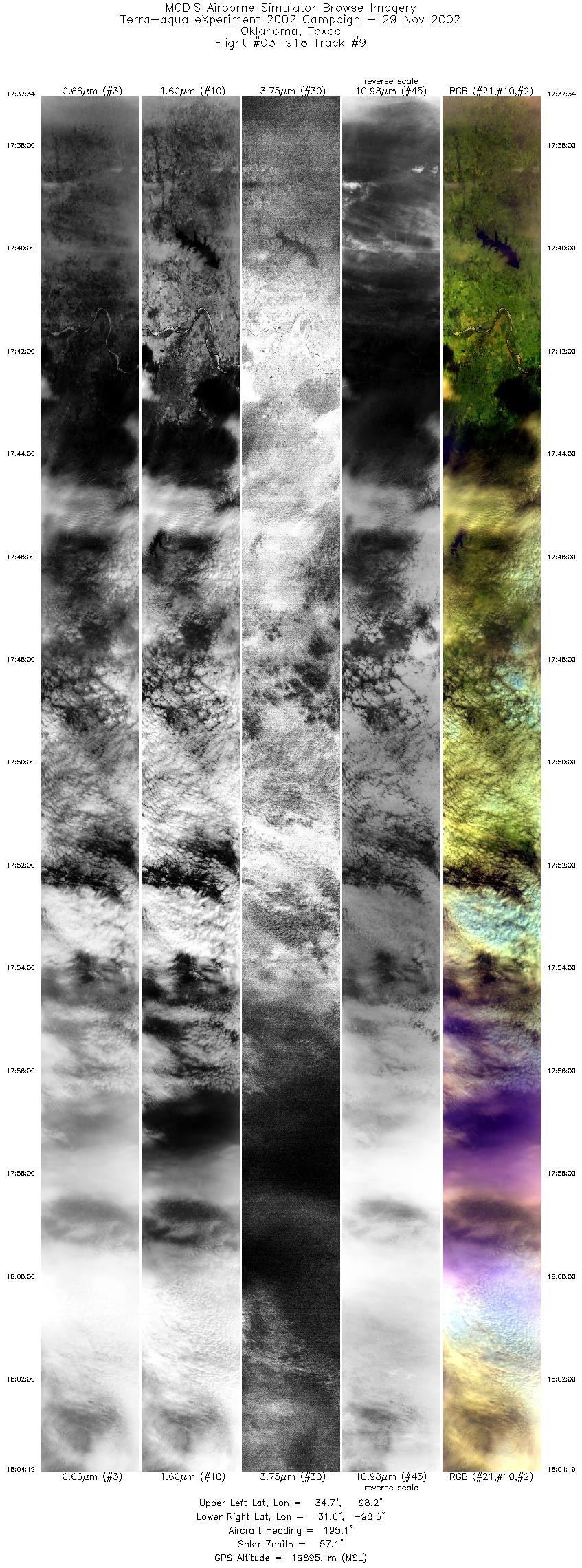
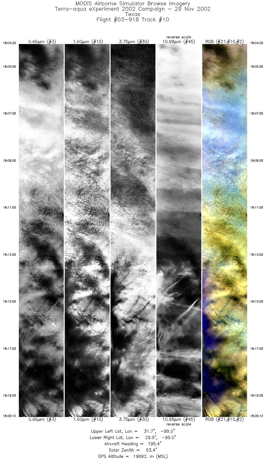
Flight Summary Report Mission Objectives Collect single layer cirrus cloud scenes for validating MODIS Cloud Top heights and Cloud Phase using CPL depolarization data. Collect data for cirrus cloud microphysics studies in combination with ARM SGP instrumentation. Flight SummaryTake-off was at 1445 UTC. ER-2 landed at 1900 UTC. ER-2 flew north from SAT to west-east oriented line over ARM SGP. The 15 minute line was positioned with the Central Facility (CF) site about 1/4th of the way from the eastern end. Cirrus level flow is west to east. Starting at the eastern end, the ER-2 flew down and back along the 15 minute line, then down once again, breaking off about 4 minutes past the CF to head north towards the Terra line. Skies along the east-west lines were mostly uniform thick single layer cirrus (sometimes opague to CPL) with cumuliform structure (cirro cumulus) in the subtropical air mass. On the Terra line, the ER-2 ran a SSW bound line parallel to the Terra orbital track, meeting the Terra satellite (1720 UTC) over the CF. Skies were single layer thick cirrus (nearly opague to CPL) at time of Terra overpass. ER-2 proceeded on this line down to near San Antonio. Met multi-layer cloud beginning about 1738 UTC. Cirrus much more variable in thickness during this portion of the flight. HighlightsAbundant uniform single layer cirrus over SGP CF instrumentation w/Terra overpass. Instrument Status
Came out of cirrus cloud tops at 42000' on climbout. Surface obscured most of flight. Light turbulence occuring during much of the flight.  |
||||||||||||||||||||||||||||||||||||||||||||||||||||||||||||||||||||||||||||||||||||||||||||||||||

Flight 03-918


| Sample Imagery |
| Click image for full resolution |
|
Track #08 Oklahoma CART Site |


|
|
R: 2.15µm G: 1.64µm B: 0.55µm |
- NASA Official: Matt Fladeland
- Project Manager: James Jacobson
- Website Editor: Eric Fraim
- Last Updated: November 16, 2021


