


MODIS Airborne Simulator (MAS)
FLIGHT SUMMARY INFORMATION


|
Flight: 03-916 Date: 24 November 2002 Location: Texas / Oklahoma / Missouri Deployment: TX-2002 Principal Investigators: Drs. Paul Menzel & Chris Moeller (UWISC) Additional Sensors: CPL, MVIS, NAST-I, RC-10 (dual), SHIS, VIS |
||||||||||||||||||||||||||||||||||||||||||||||||||||||||||||||||||||||
|
Data Evaluation Overall quality is good TERRA Underflight @17:02 |
||||||||||||||||||||||||||||||||||||||||||||||||||||||||||||||||||||||
|
Processing Information Level-1B Data in HDF format is available Flight Line Summary Spectral Band Configuration Spectral Response Function Table |
||||||||||||||||||||||||||||||||||||||||||||||||||||||||||||||||||||||
|
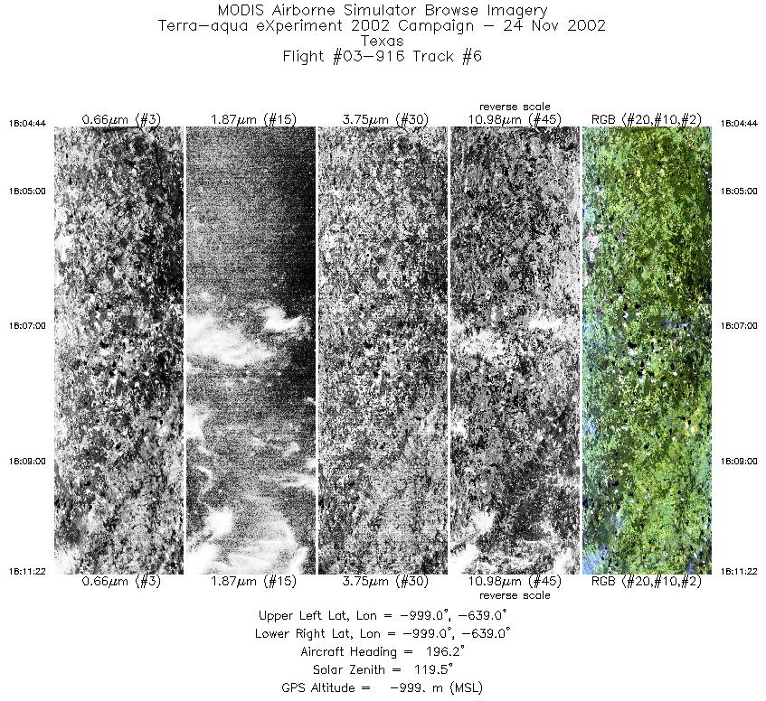
Browse Imagery Flight Tracks: 6 Scanlines: 46126 |
||||||||||||||||||||||||||||||||||||||||||||||||||||||||||||||||||||||
|
||||||||||||||||||||||||||||||||||||||||||||||||||||||||||||||||||||||
|
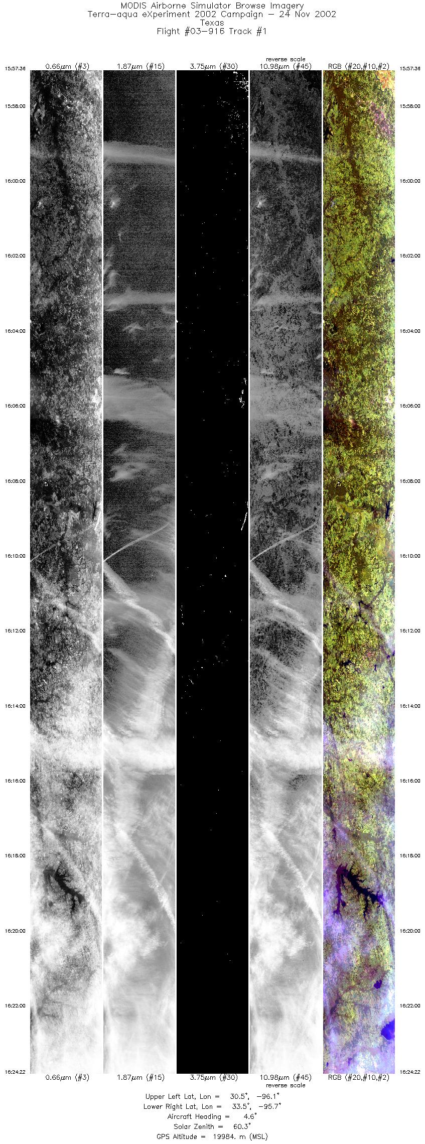
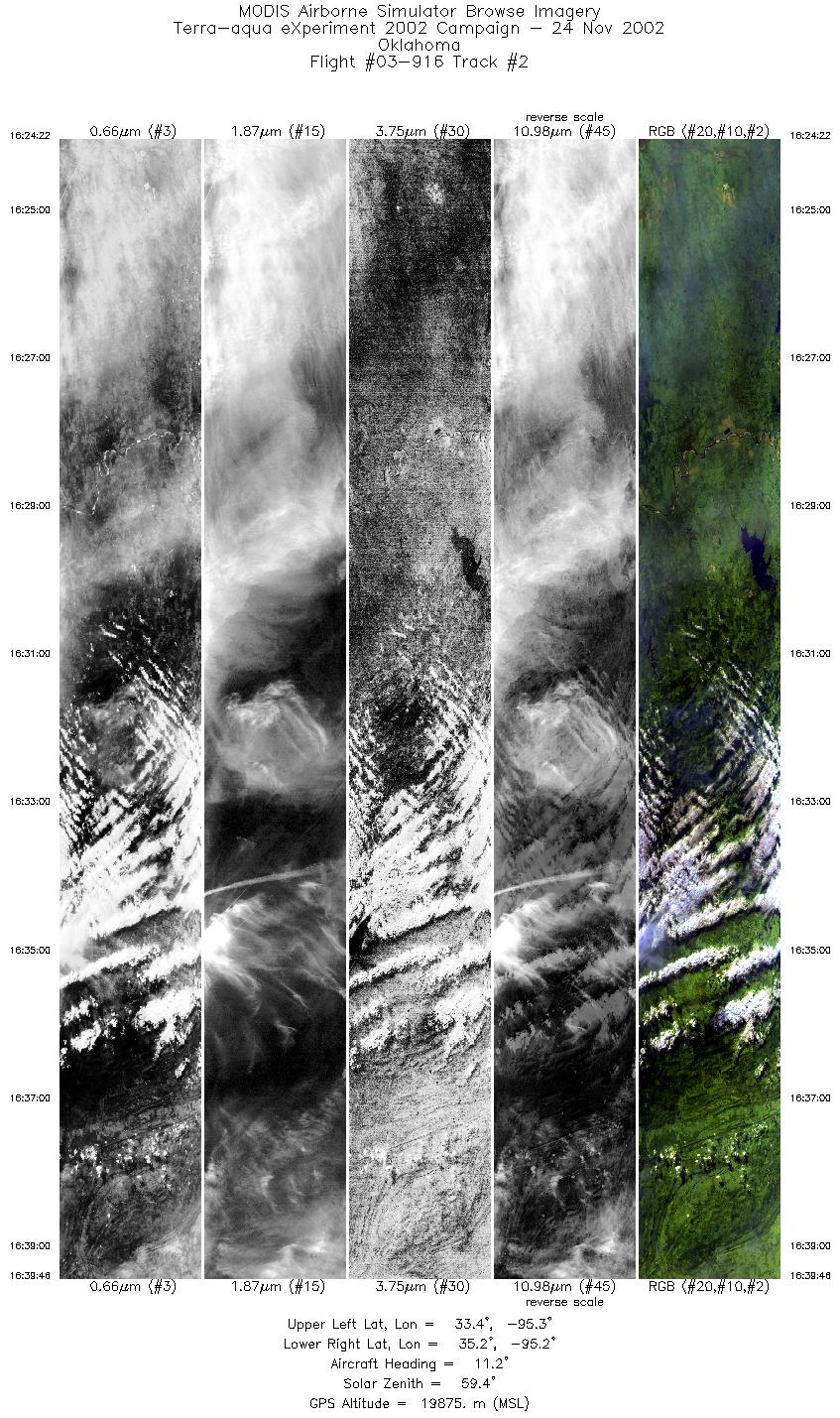
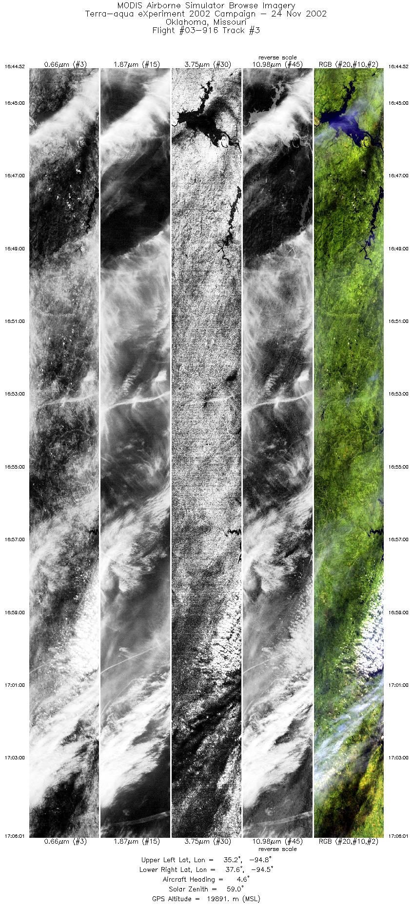
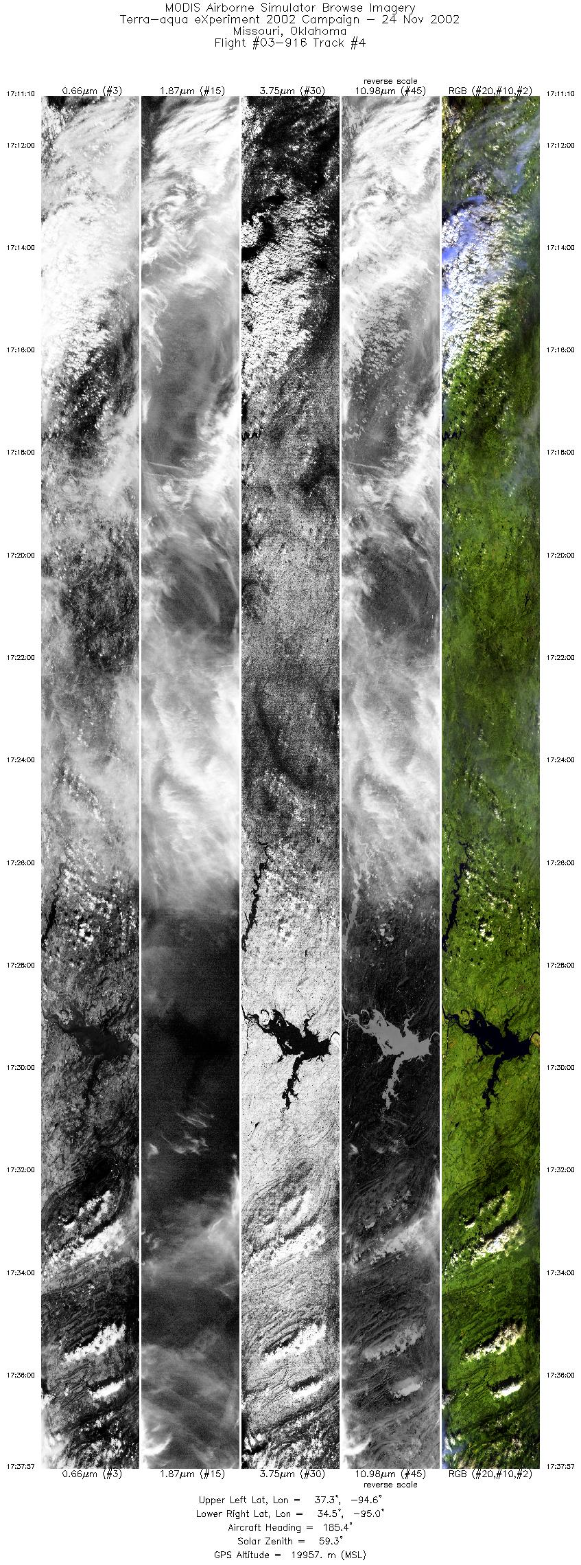
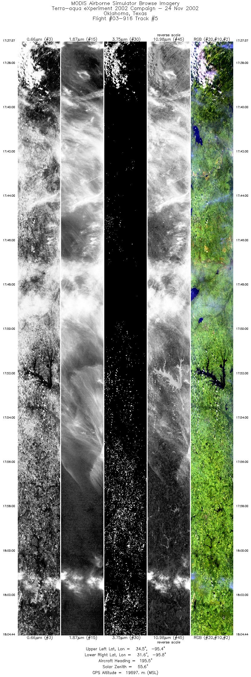
Flight Summary Report Mission Objectives Collect data of single and multilayer (ice over water) cirrus cloud for validating MODIS Cloud Top heights and Cloud Phase using CPL depolarization data. Collect data of very thin cirrus for MODIS Cloud Mask thin cirrus bit validation. Flight SummaryTake-off was at 1530 UTC. ER-2 landed at 1905 UTC. ER-2 flew towards eastern TX where it picked up a line parallel to the Terra MODIS orbital track (23 deg view from MODIS) and flew this line towards SW Missouri, meeting the Terra MODIS overpass (1702 UTC) near the northern extent. Total length of this line was about 70 minutes. All along this line was single layer cirrus of varying thickness, and some cases of single layer cirrus over scattered or broken stratus. At the Terra overpass, the ER-2 was observing cirrus with spotty strato-cu (sct) below. Pilot then reversed course and flew the same line back to SE TX where he got off this line and returned to SAT. HighlightsAbundant cirrus in single layer and multi-layer (ice over water) scenes w/Terra overpass. Instrument Status
Could see surface through clouds about 70% of time. Low stratus deck under cir rus at Terra overpass time.  |
||||||||||||||||||||||||||||||||||||||||||||||||||||||||||||||||||||||

Flight 03-916


| Sample Imagery |
| Click image for full resolution |
|
Track #03 Missouri |


|
|
R: 2.15µm G: 1.64µm B: 0.55µm |
- NASA Official: Matt Fladeland
- Project Manager: James Jacobson
- Website Editor: Eric Fraim
- Last Updated: November 16, 2021


