


MODIS Airborne Simulator (MAS)
FLIGHT SUMMARY INFORMATION


|
Flight: 03-914 Date: 22 November 2002 Location: Texas / Oklahoma / Kansas Deployment: TX-2002 Principal Investigators: Drs. Paul Menzel & Chris Moeller (UWISC) Additional Sensors: CPL, MVIS, NAST-I, RC-10 (dual), SHIS, VIS |
||||||||||||||||||||||||||||||||||||||||||||||||||||||||
|
Data Evaluation Ports 2 & 3 have some Line-to-Line Noise. Port 4 has some Coherent Noise (strongest to date), most visable in Bands 42-46. TERRA Underflight @17:14 |
||||||||||||||||||||||||||||||||||||||||||||||||||||||||
|
Processing Information Level-1B Data in HDF format is available Flight Line Summary Spectral Band Configuration Spectral Response Function Table |
||||||||||||||||||||||||||||||||||||||||||||||||||||||||
|
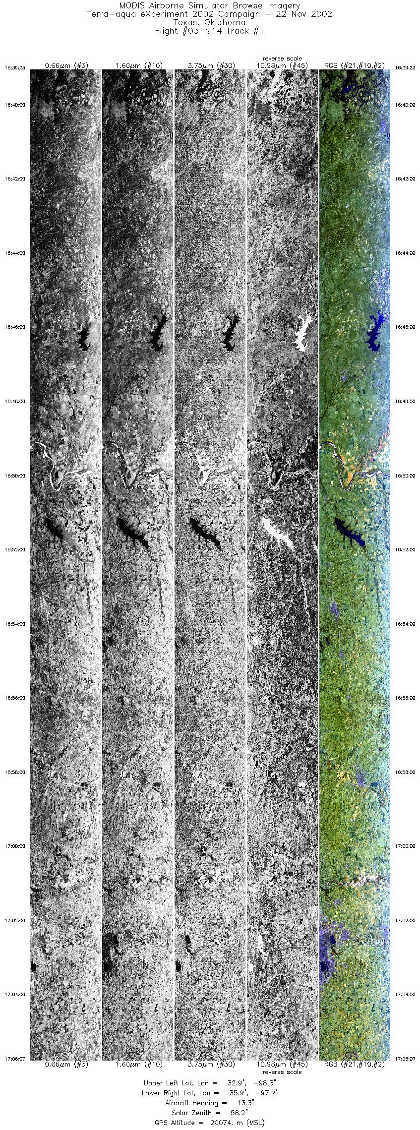
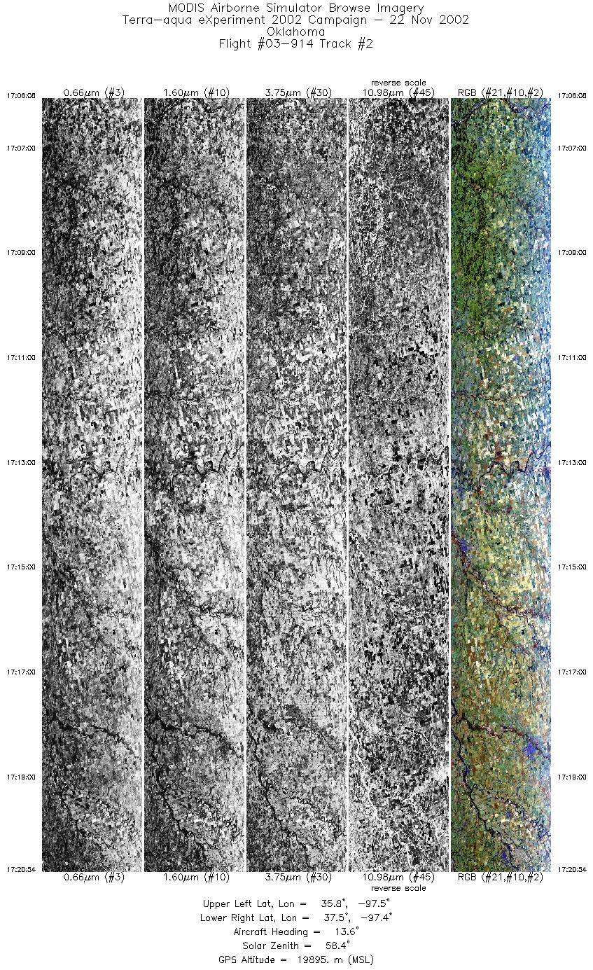
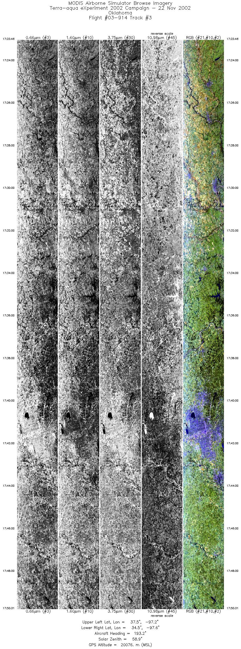
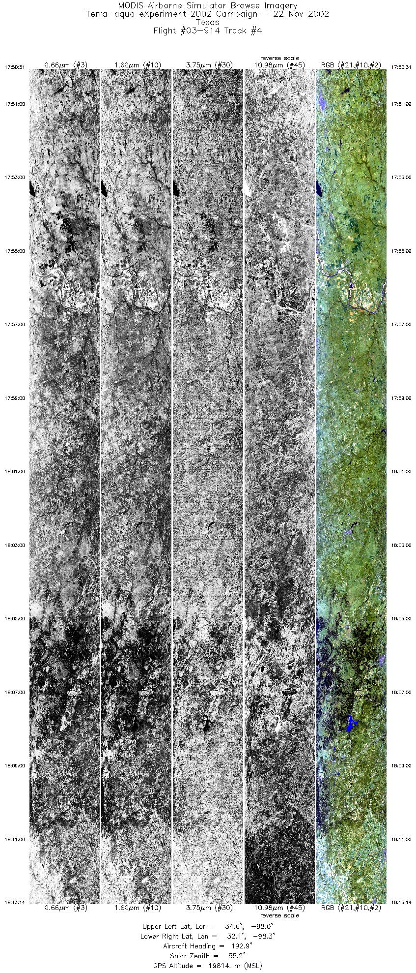
Browse Imagery Flight Tracks: 4 Scanlines: 34019 |
||||||||||||||||||||||||||||||||||||||||||||||||||||||||
|
||||||||||||||||||||||||||||||||||||||||||||||||||||||||
|
Flight Summary Report Mission Objectives S-HIS/NAST-I calibration comparison with ARM SGP characterization (Terra overpass at 1714 UTC). Map surface features at CF. CPL depolarization calibration flight. Flight SummaryTake-off was at 1600 UTC. ER-2 landed at 1905 UTC. ER-2 flew from SAT northward to OK, picking up on the Terra orbital track parallel line (offset from nadir to fly over CF) in N. TX at 1633 UTC and continued on that line up to ARM SGP. Clear skies on entire line. Met Terra overpass with ER-2 about 10 km north of the CF. Flew another 8 minutes to the north observing isolated sub visual cirrus (171854-171949 UTC), then turned to return on opposite heading offset by 20 km to the east of CF line. Flew back to TX on this line. Skies clear along this entire line. HighlightsClear sky over ARM SGP CF with co-incident Terra (22 deg off-nadir view). Isolated sub-visual cirrus at 1719 UTC in MAS 1.88um. Instrument Status
Pilot observed clear during entire flight.  |
||||||||||||||||||||||||||||||||||||||||||||||||||||||||

Flight 03-914


| Sample Imagery |
| Click image for full resolution |
|
Track #02 Oklahoma SGP Site |


|
|
R: 2.15µm G: 1.64µm B: 0.55µm |
- NASA Official: Matt Fladeland
- Project Manager: James Jacobson
- Website Editor: Eric Fraim
- Last Updated: November 16, 2021


